7 days on the Sierra High Route(-ish)
In early August 2022, we headed to the High Sierra backcountry for a backpacking adventure that combined spectacular off-trail sections with highlights of the JMT

This was our fourth consecutive summer doing a high route with Steve and Brandon. Last year, we spent 9 days on the Yosemite High Route. This time, we wanted to head further into the Sierra backcountry and hike parts of the Sierra High Route (SHR).
The route
Our original plan was to hike a 7-day section of the SHR, starting in Mammoth and ending at South Lake. We ended up having to change our route due to thunderstorms and an ankle injury, but we had an excellent adventure nonetheless.
Itinerary
| Day | From | To | Miles | Up | Down |
|---|---|---|---|---|---|
| 1 | Lake George | Purple Lake | 11.2 | 3,173 | 2,340 |
| 2 | Purple Lake | Grinnell Lake | 11.4 | 3,310 | 2,370 |
| 3 | Grinnell Lake | Bear Creek | 18.4 | 3,192 | 4,593 |
| 4 | Bear Creek | French Canyon | 14.4 | 4,100 | 3,333 |
| 5 | French Canyon | Evolution Lake | 19.2 | 3,480 | 2,623 |
| 6 | Evolution Lake | Dusy Basin | 18.3 | 3,471 | 3,639 |
| 7 | Dusy Basin | South Lake | 8.5 | 1,424 | 2,270 |
| Total | 101.4 | 22,150 | 21,168 | ||
| Average | 14.5 | 3,164 | 3,024 |
Gear
You can find my gear list on LighterPack.
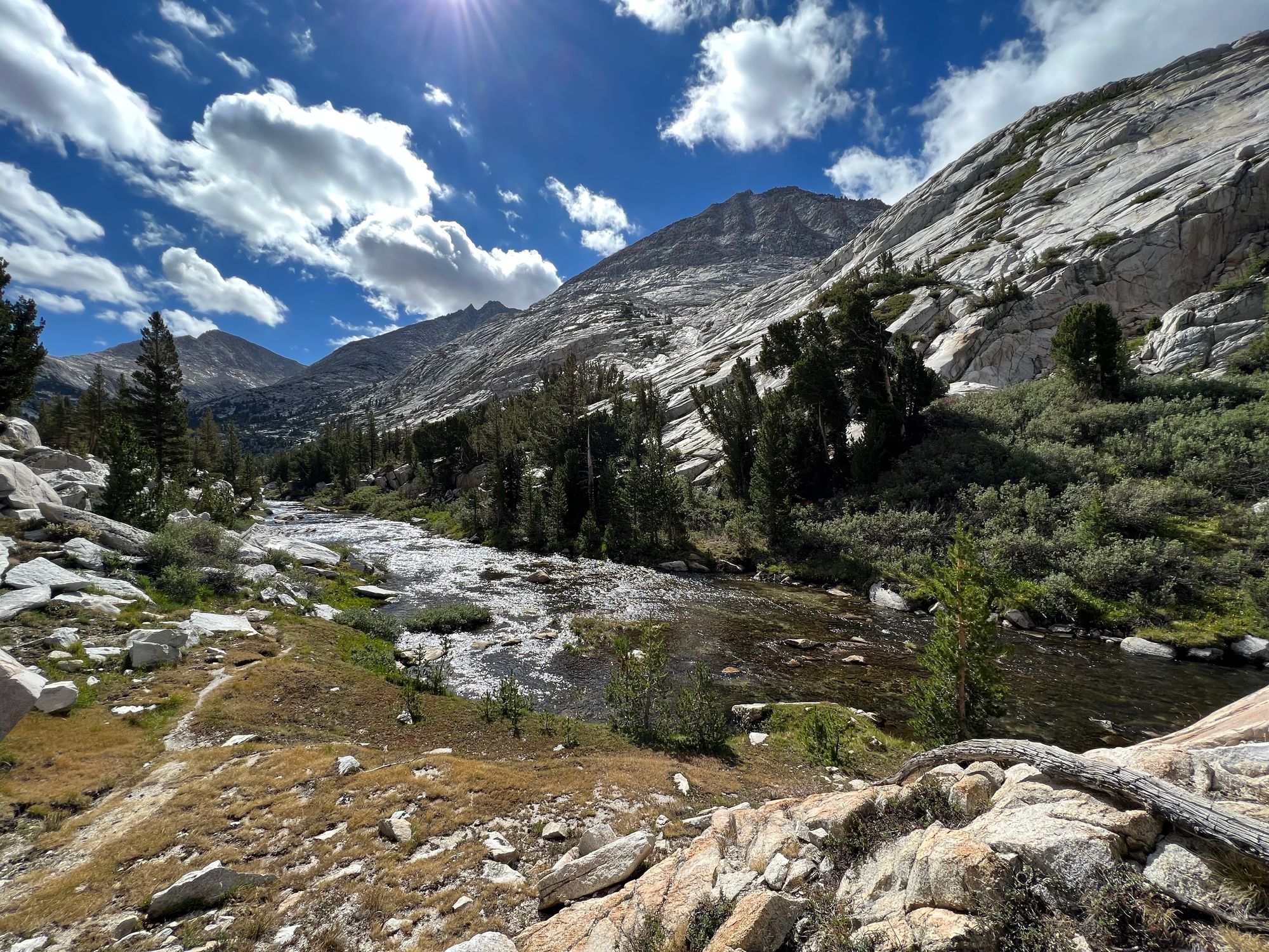
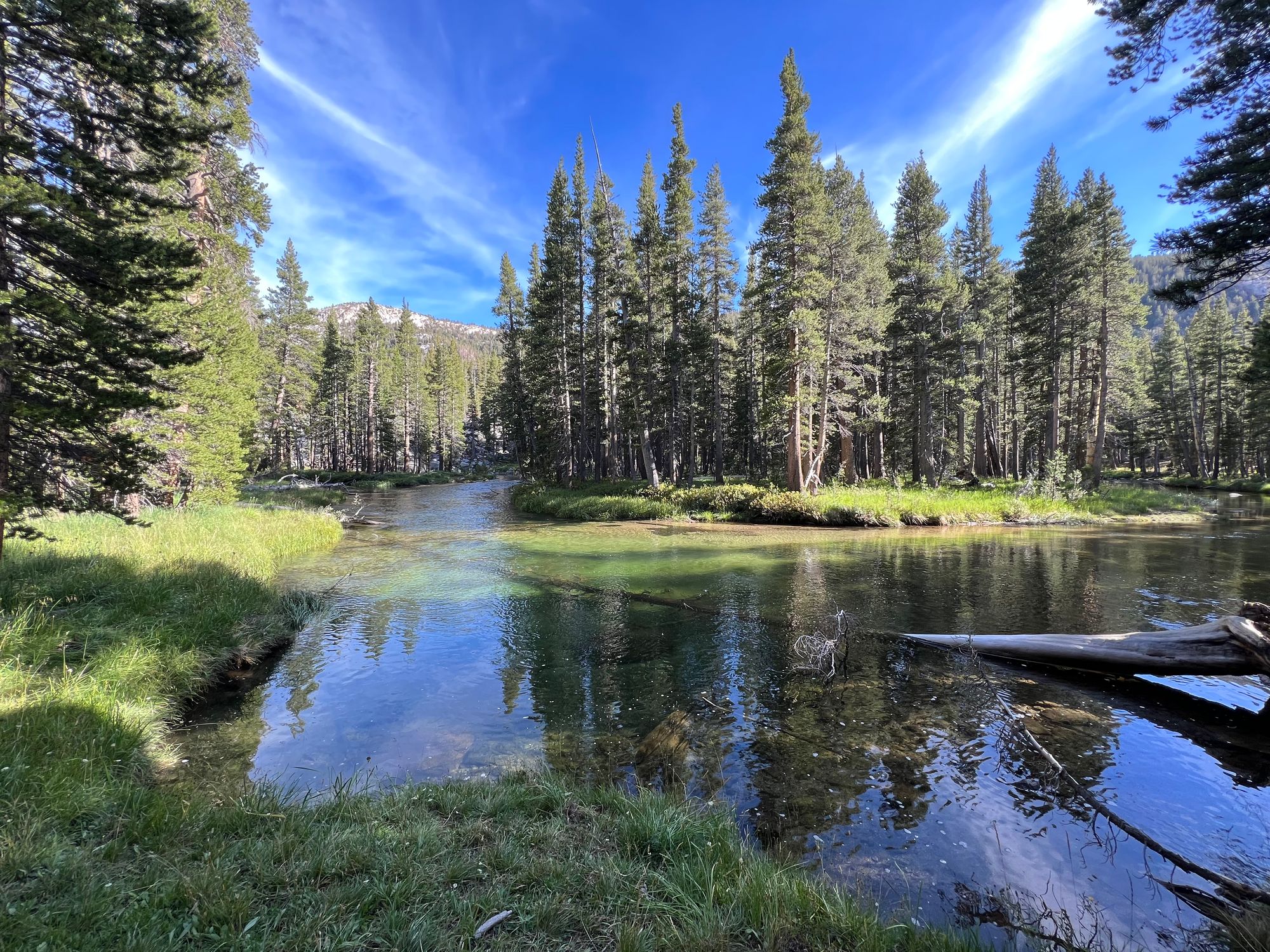
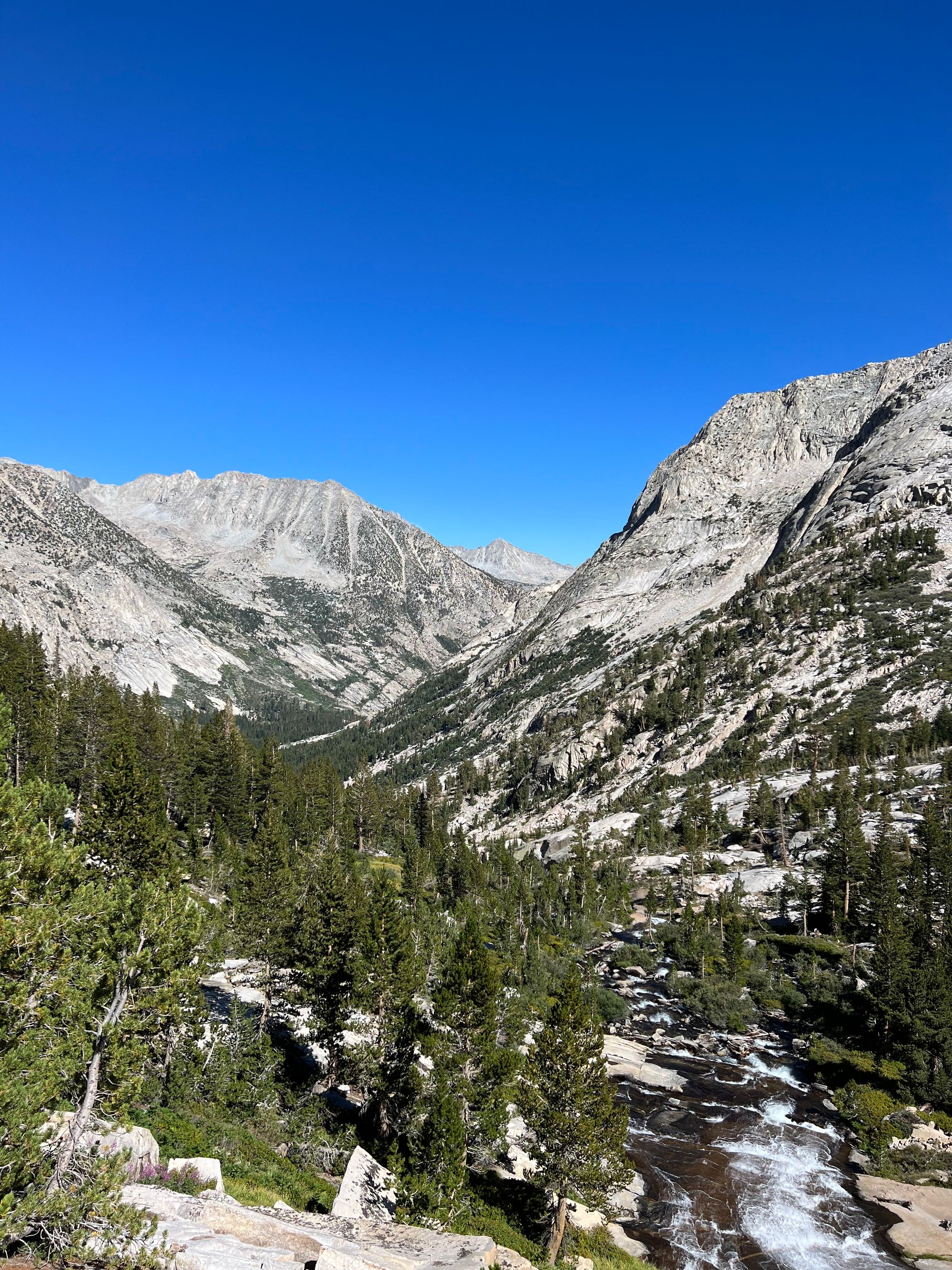
Lake George to Purple Lake
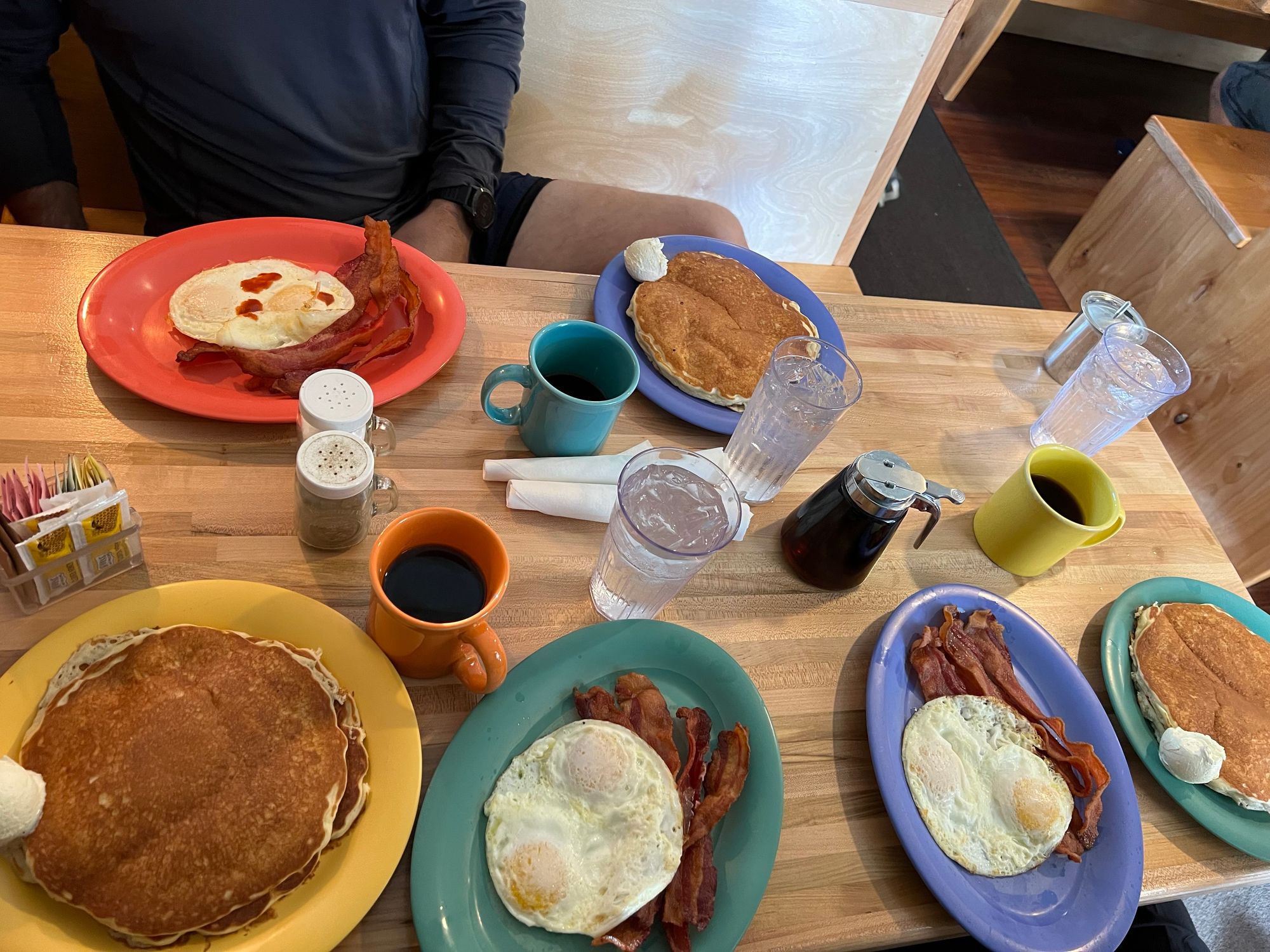
We drove up to Mammoth Lakes already the day before to acclimatize and get an early start. We spent the evening checking out Mammoth and eating well.
We began the day of our hike with a massive breakfast at the Skillet. After shoving down a mountain of food, we set out to drop off our car at the end trailhead at South Lake. We had arranged for a shuttle to come and pick us up at the trailhead and drive us to the starting trailhead. It turned out to be a great plan as the trailhead at Lake George was an absolute zoo.
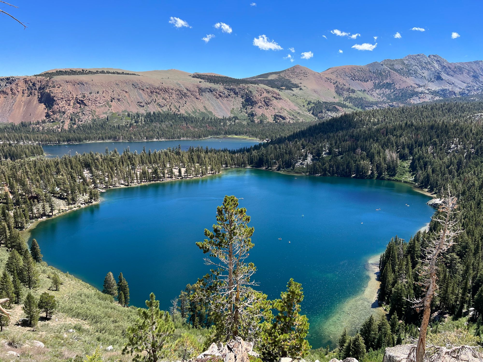
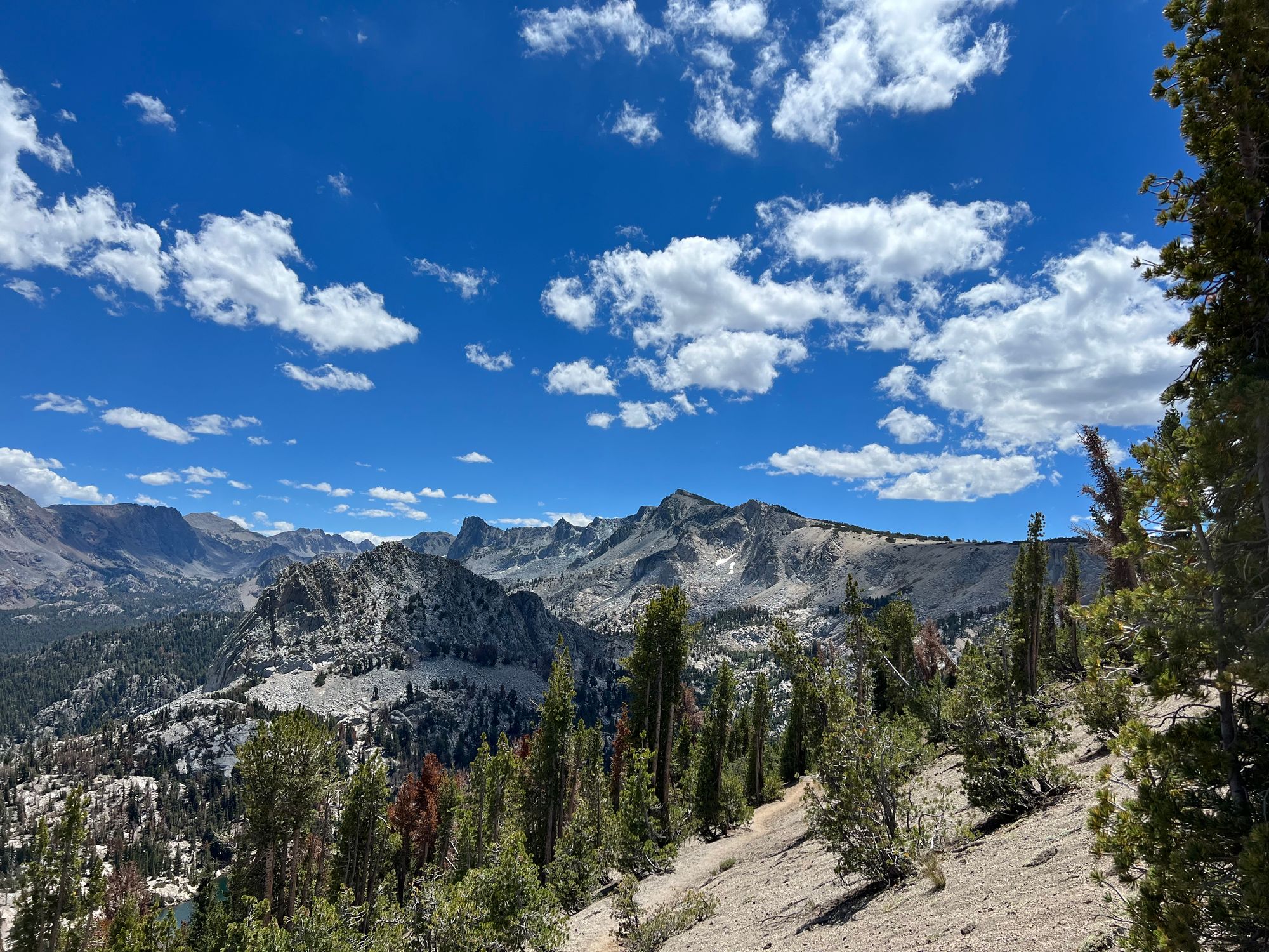
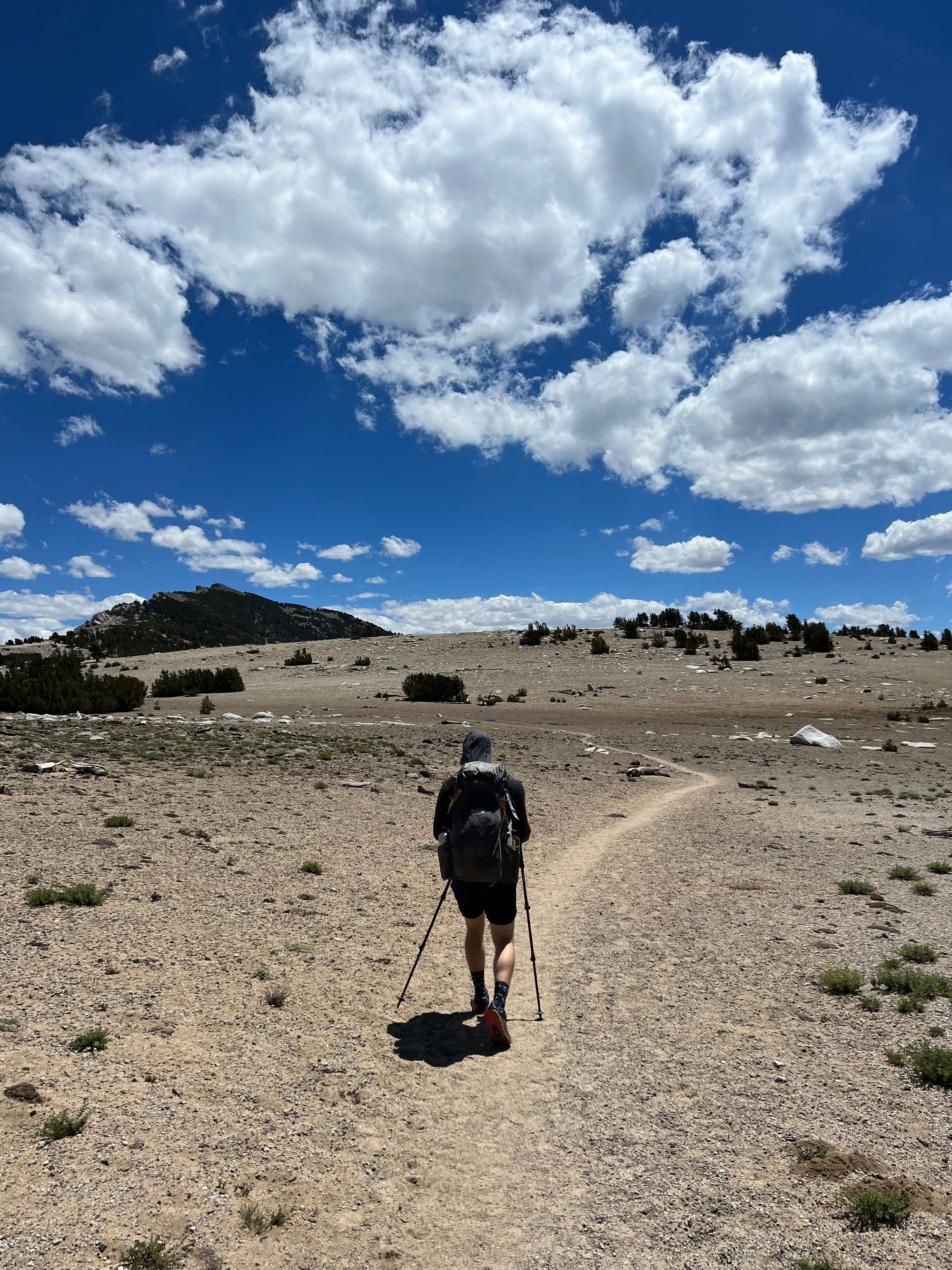
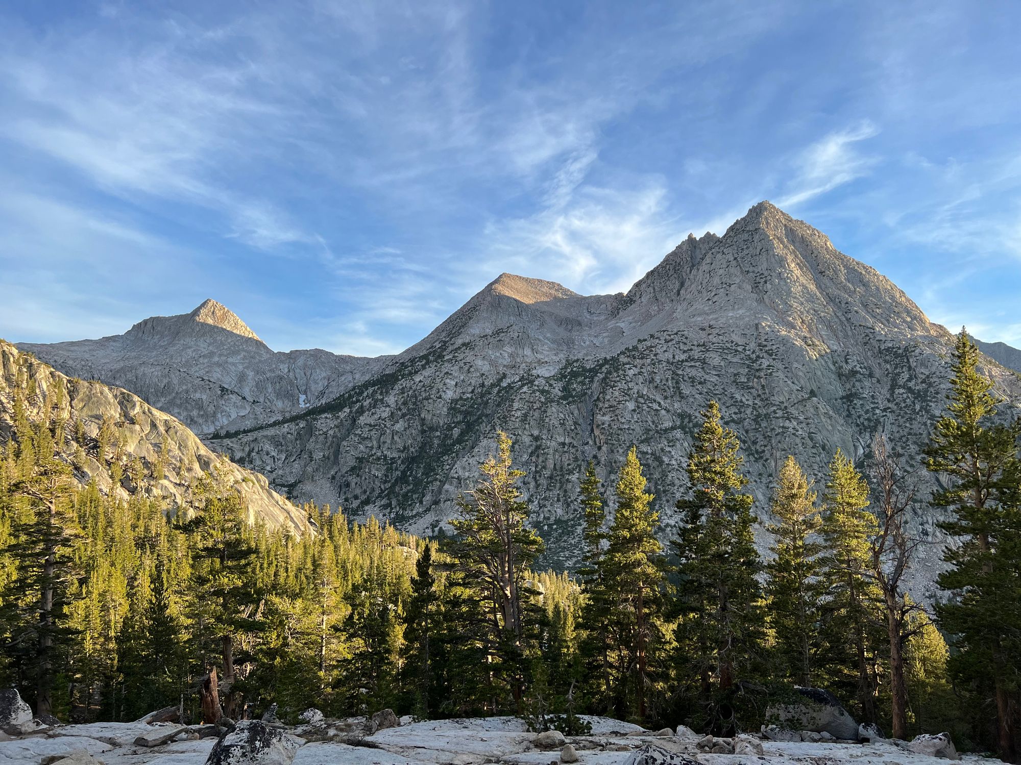
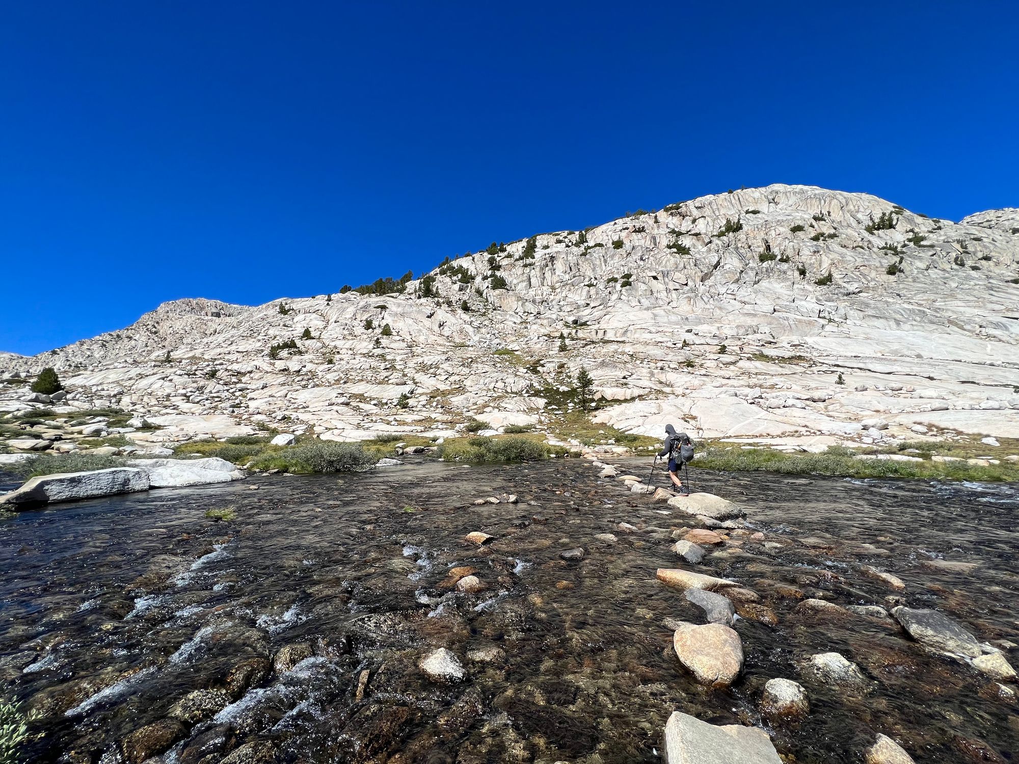
Packs heavy with food and lungs ill-acclimatized to the elevation, we set out on our adventure. We left Lake George and Mary behind us as we headed up towards Mammoth Crest, looming 2,000 ft above us.
We followed the Mammoth Crest Trail, enjoying wide-open views of the Sierra. The trail grew fainter as we passed Deer Lakes, finally disappearing before we reached Duck Lake.
A little past Duck Lake, we joined the PCT/JMT for the final miles to Purple Lake. Although our first day was only a little over 11 miles, we were all exhausted by the time we got to camp. We clearly needed some more to get used to the elevation.
A group of about 20 people at Purple Lake had set up base camp for the past week and were heading out the following day. They offered us food they would otherwise pack out when they left. We were happy to help them.
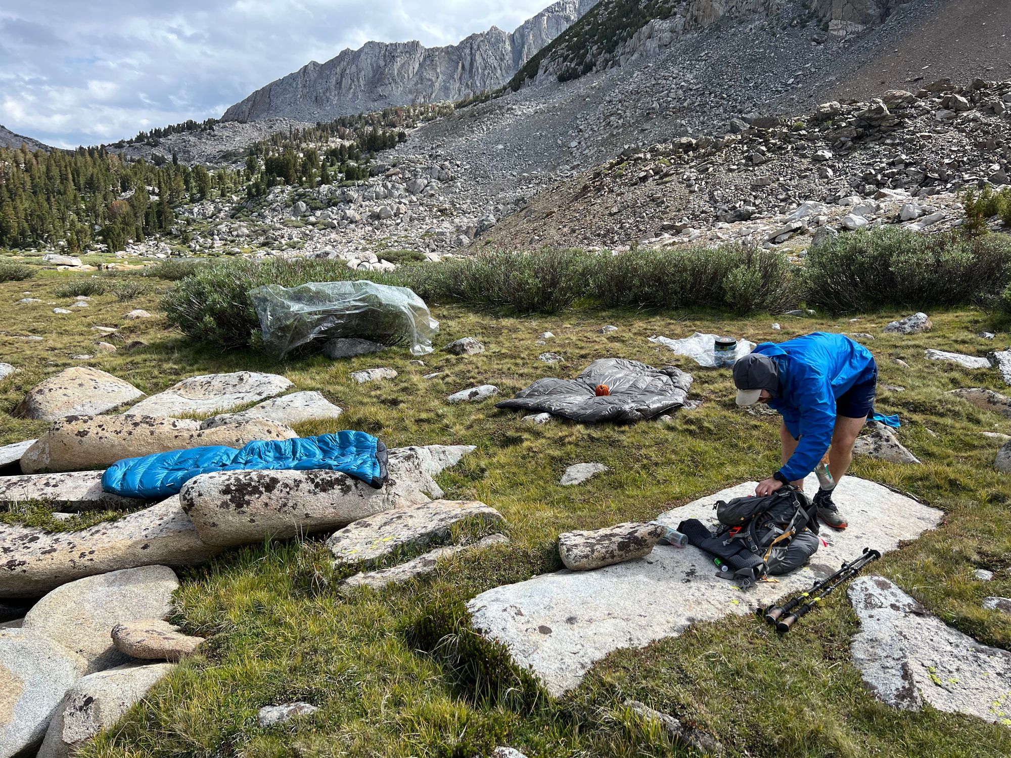
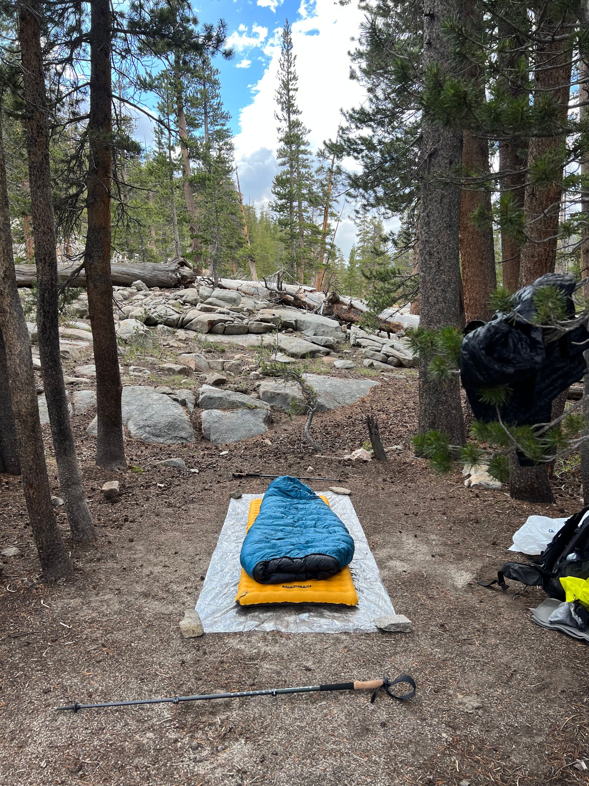
We set up a cowboy camp to the side of the main base camp and made some dinner before falling asleep.
Purple Lake to Grinnell lake
The first five miles of the day were on-trail, allowing us to warm up our legs before venturing off-trail.
The still lake reflected the morning sun as we walked around Purple Lake and began making our way up to Virginia Lake. The night had been clear, but clouds started rolling in as the morning went on.
We stopped at Virginia Lake to dry out our gear and have a snack. I tried fishing but had no luck. A sprinkling of rain ended our break. We quickly packed our quilts and got moving again.
We got occasional rain showers as we made our way down to Tully Hole. It rained enough to get our rain jackets out but not enough to soak us. By the time we left the trail up towards Izaak Walton Lake, the rain had let up entirely.
We were already hungry but decided we'd climb up to Cotton Lake before stopping for lunch. Just as we started eating, the rain hit us. First, a sprinkle. Then, increasingly heavy rain.
We had discussed earlier in the day that we'd put up a tarp as a rain shelter if the rain got too bad, and the time had come. In an effort that later seemed almost practiced, we put up the tarp in just over a minute and got out of the rain.
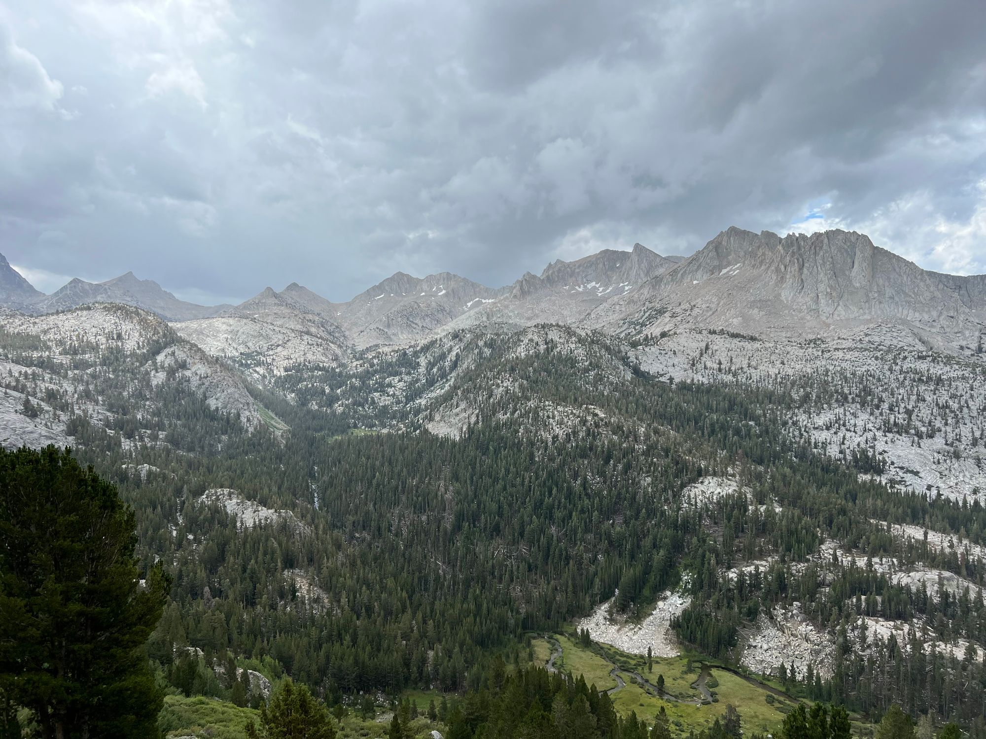
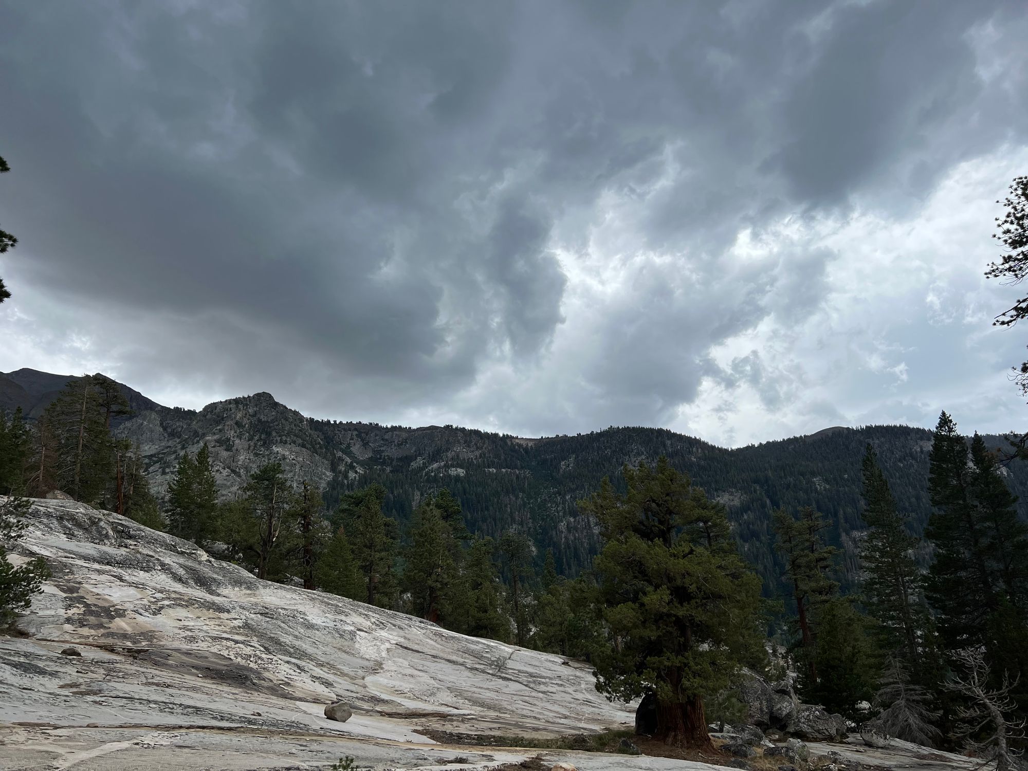
That's when the thunder rolled in. The uniformly dark clouds formed by the monsoon moisture didn't give us the same kind of forewarning that regular sierra thunderstorms have.
Suddenly, the wind was pushing our tarp with fury as the sky opened up, throwing everything from heavy rain to hail on us. The temperature dropped 20 degrees in just a few minutes.
Just as suddenly as the thunderstorm hit us, it dissipated. The sun felt warm on our skins, and the wind had died down. The only remaining evidence of the thunderstorm was the puddles and streams it left behind.
We had two passes to get over, so we quickly packed up and got going.
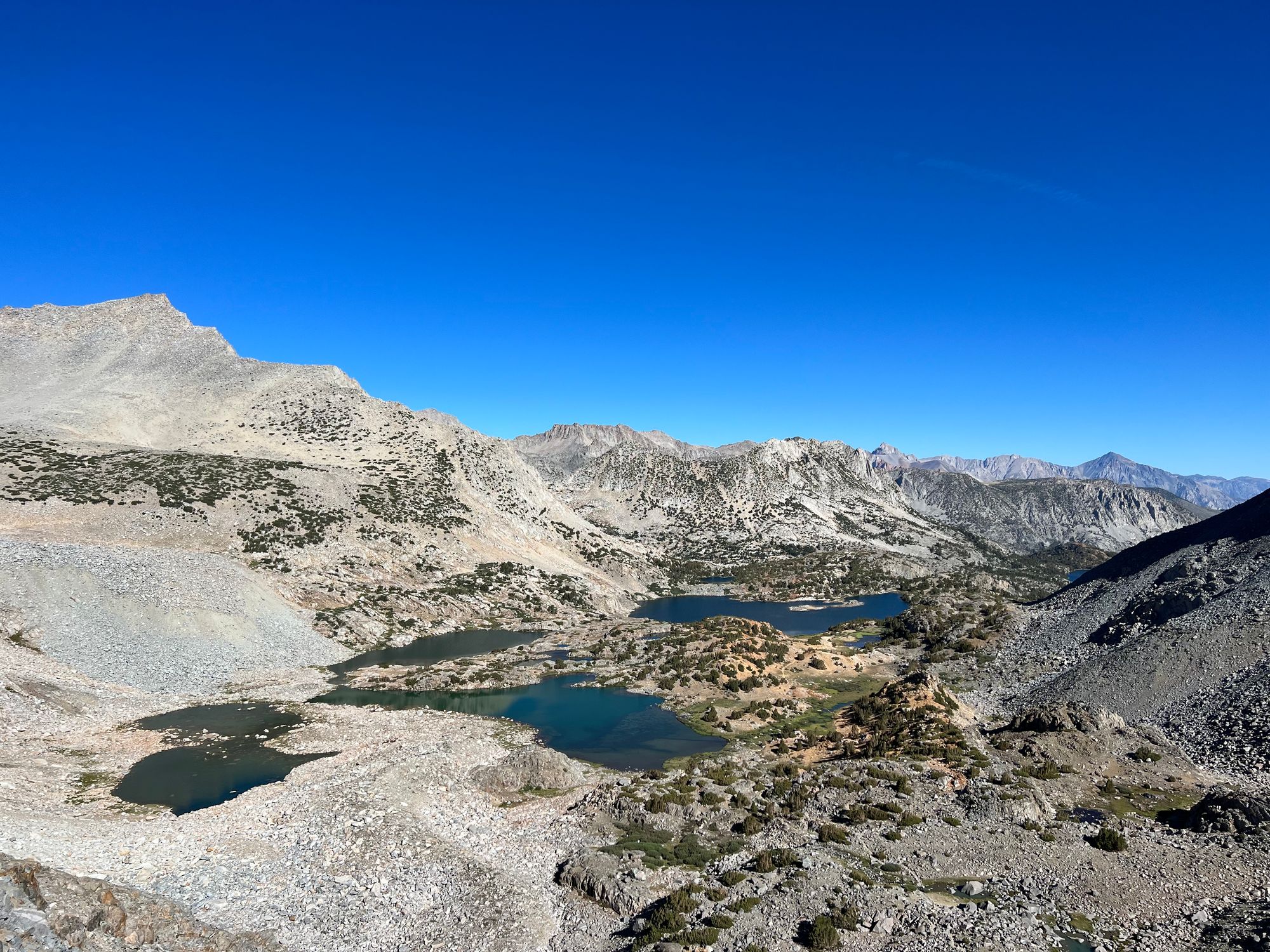
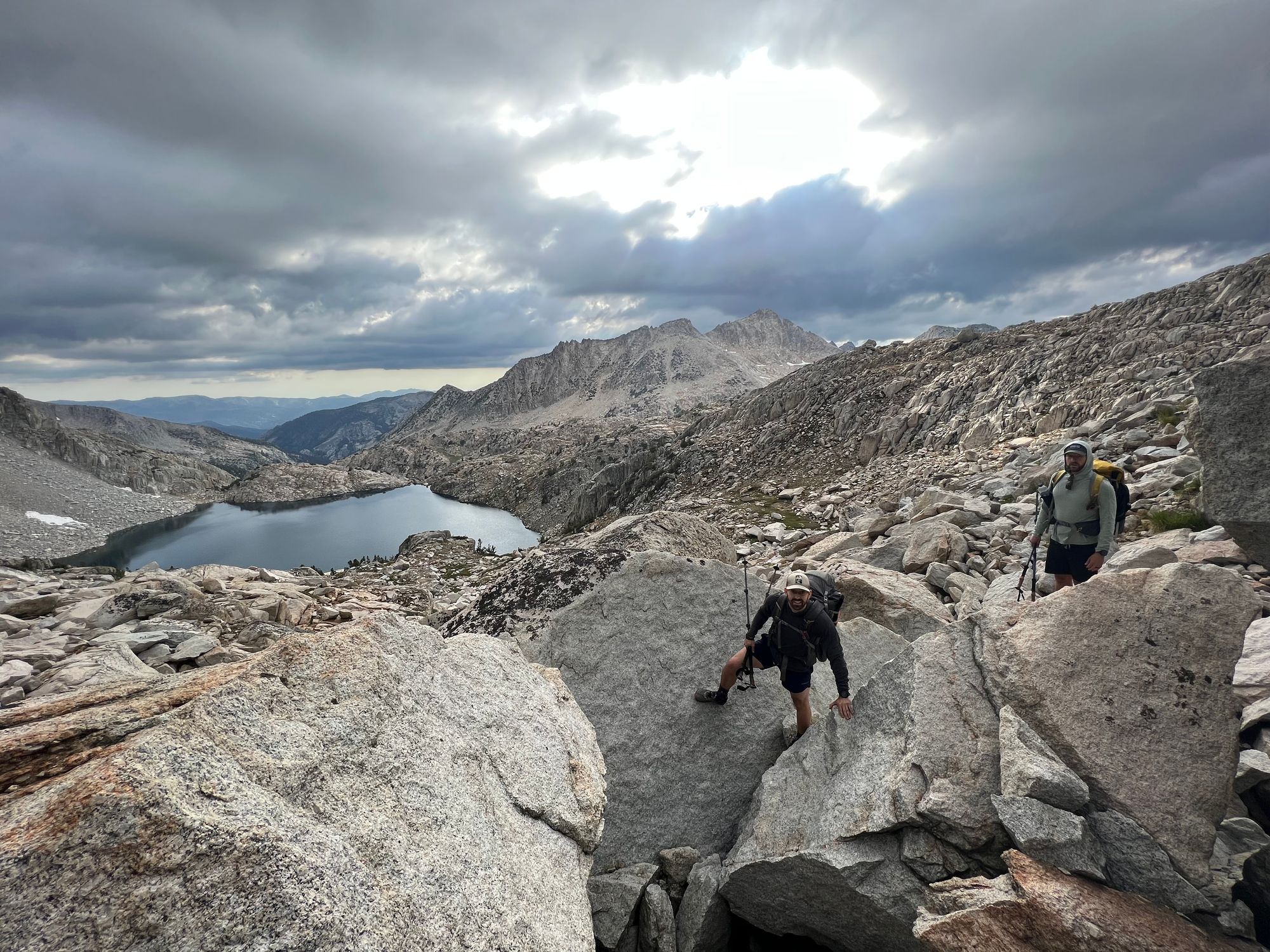
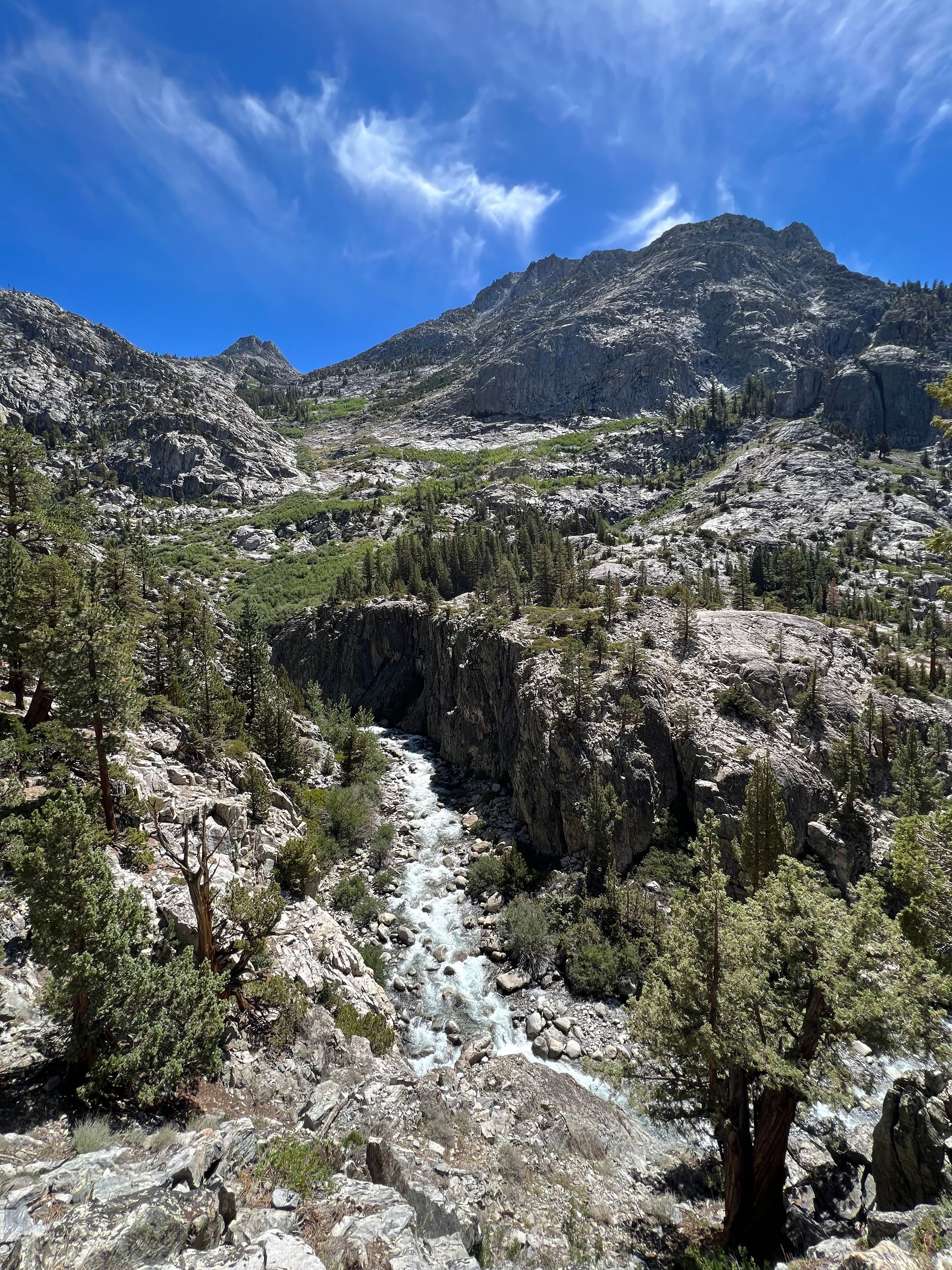
The first pass, Shout of Relief, was a straightforward affair. Between the passes, we contoured the side of the hill on big talus to avoid losing elevation.
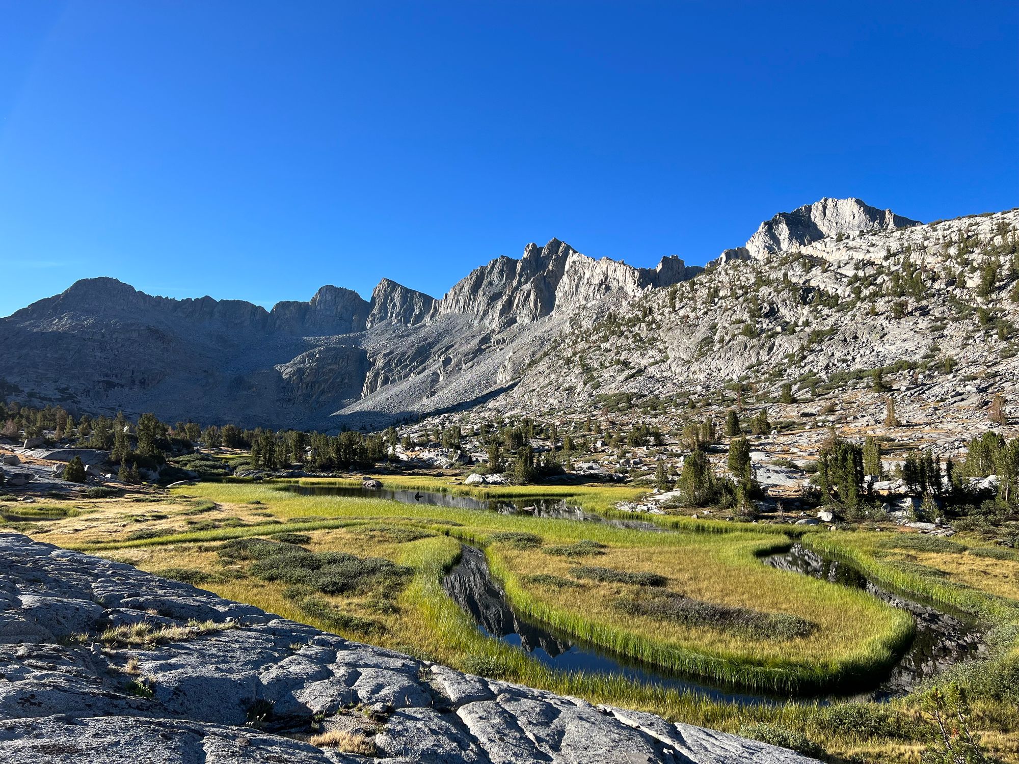
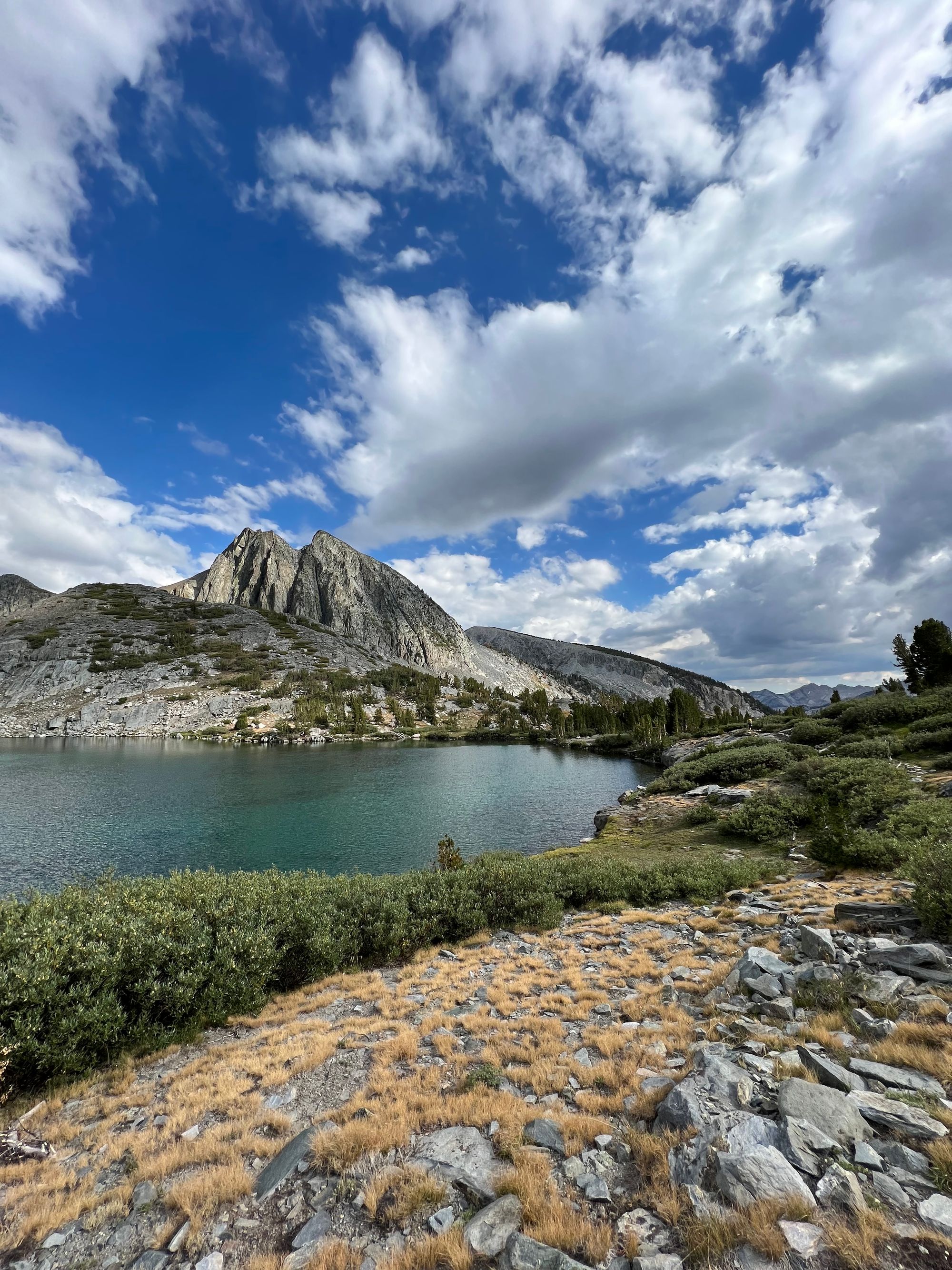
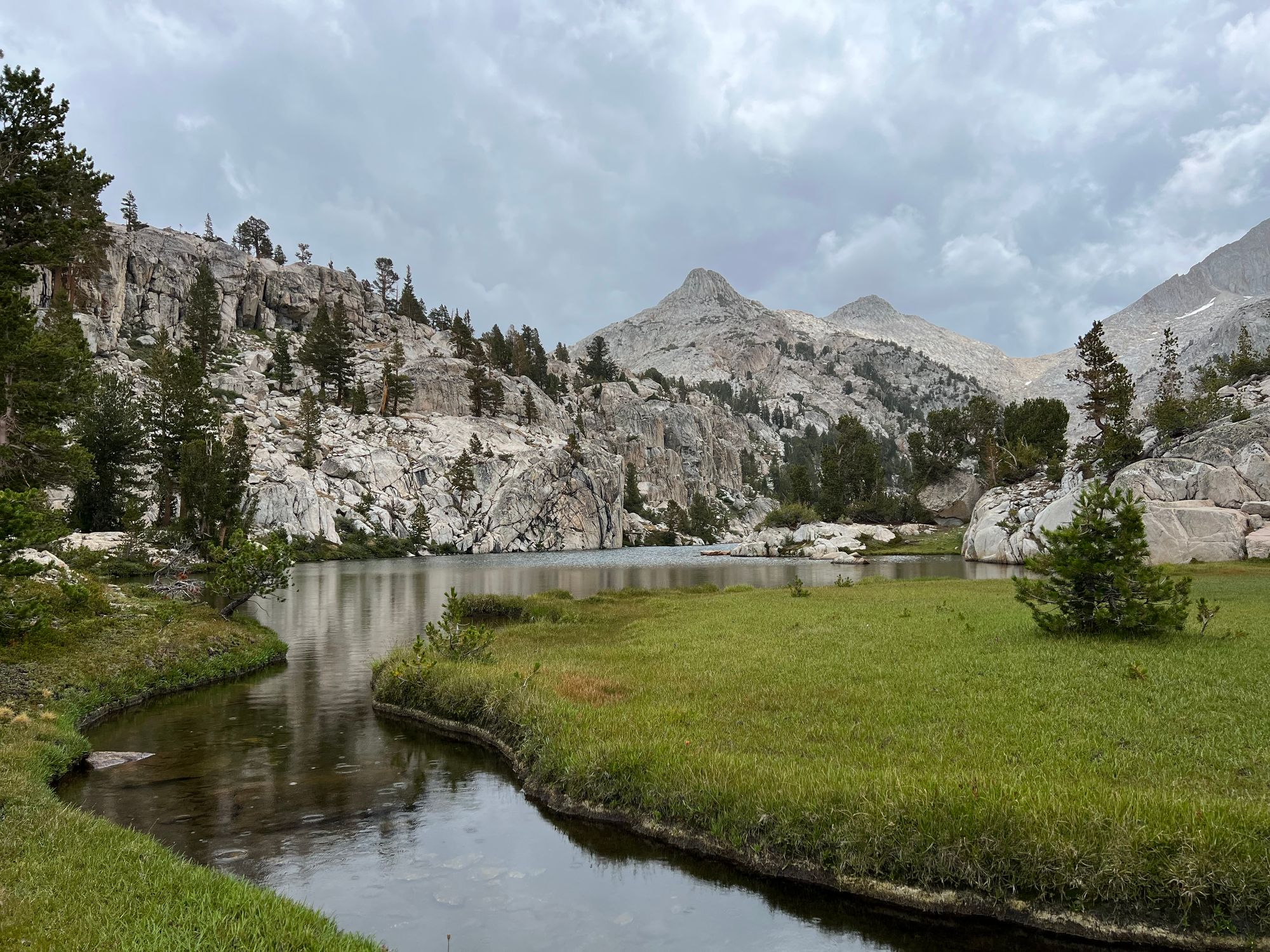
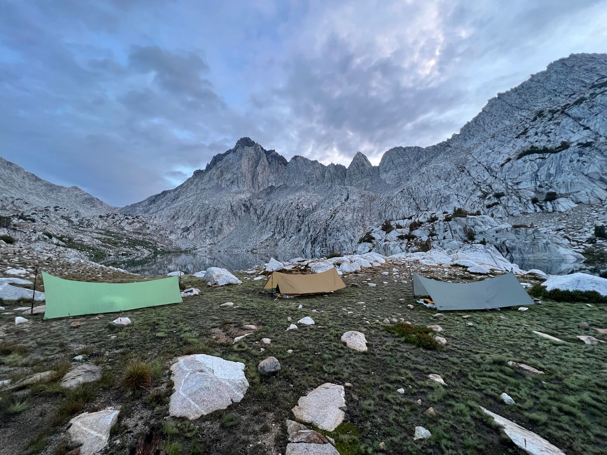
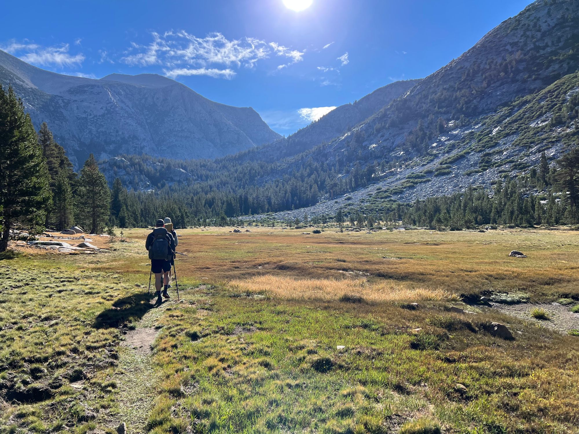
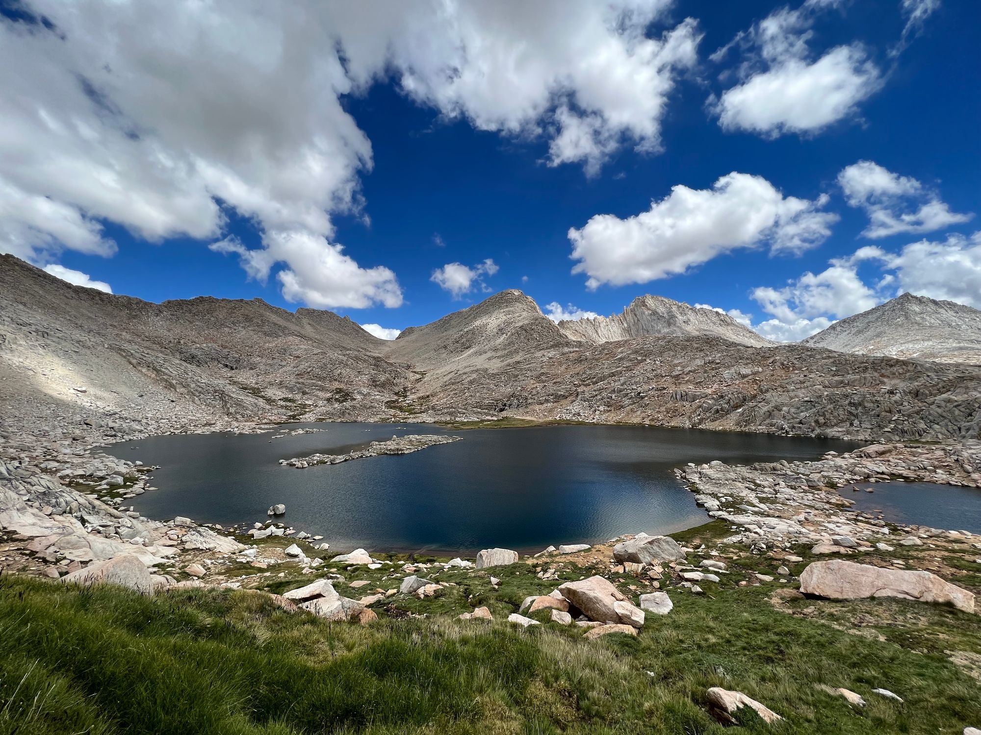
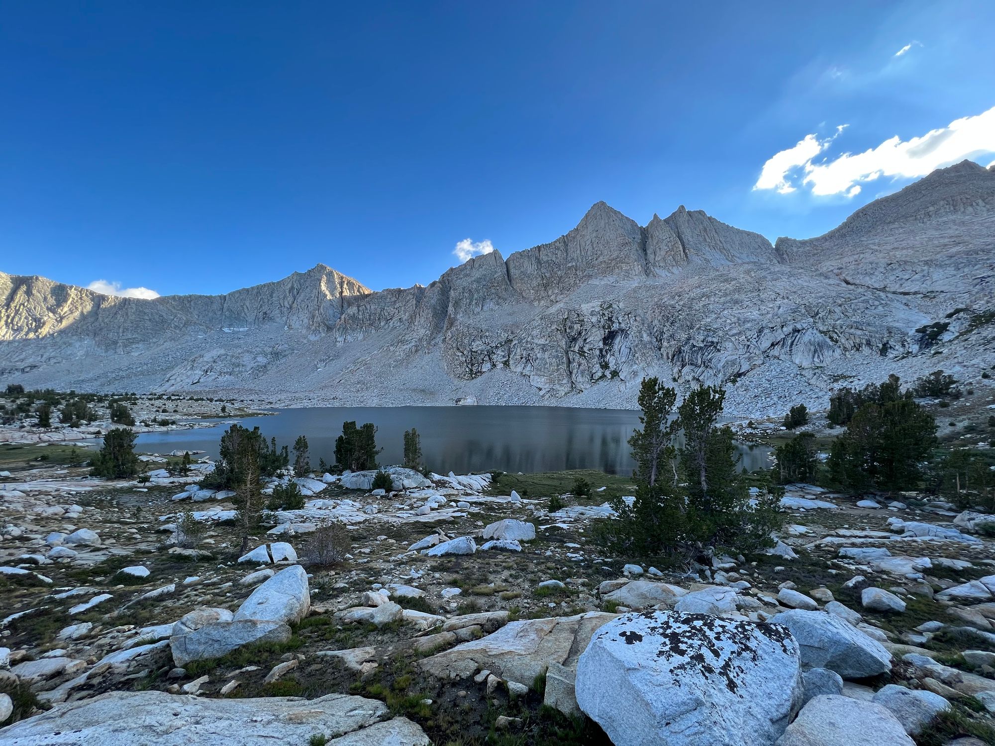
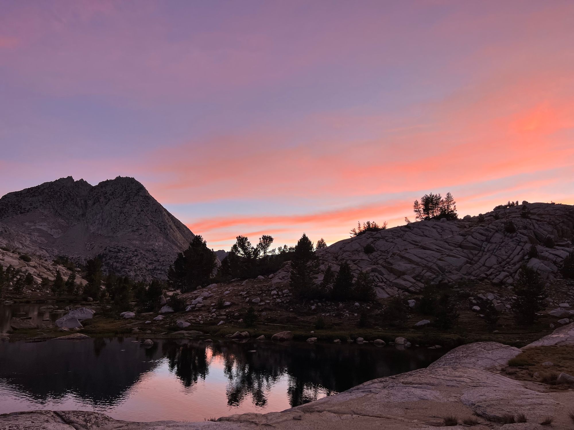
We decided to head to Grinnell Lake for the night. The route from the pass to the lake's northern end was easy, and we quickly agreed on a campsite as we were all getting hungry and tired.
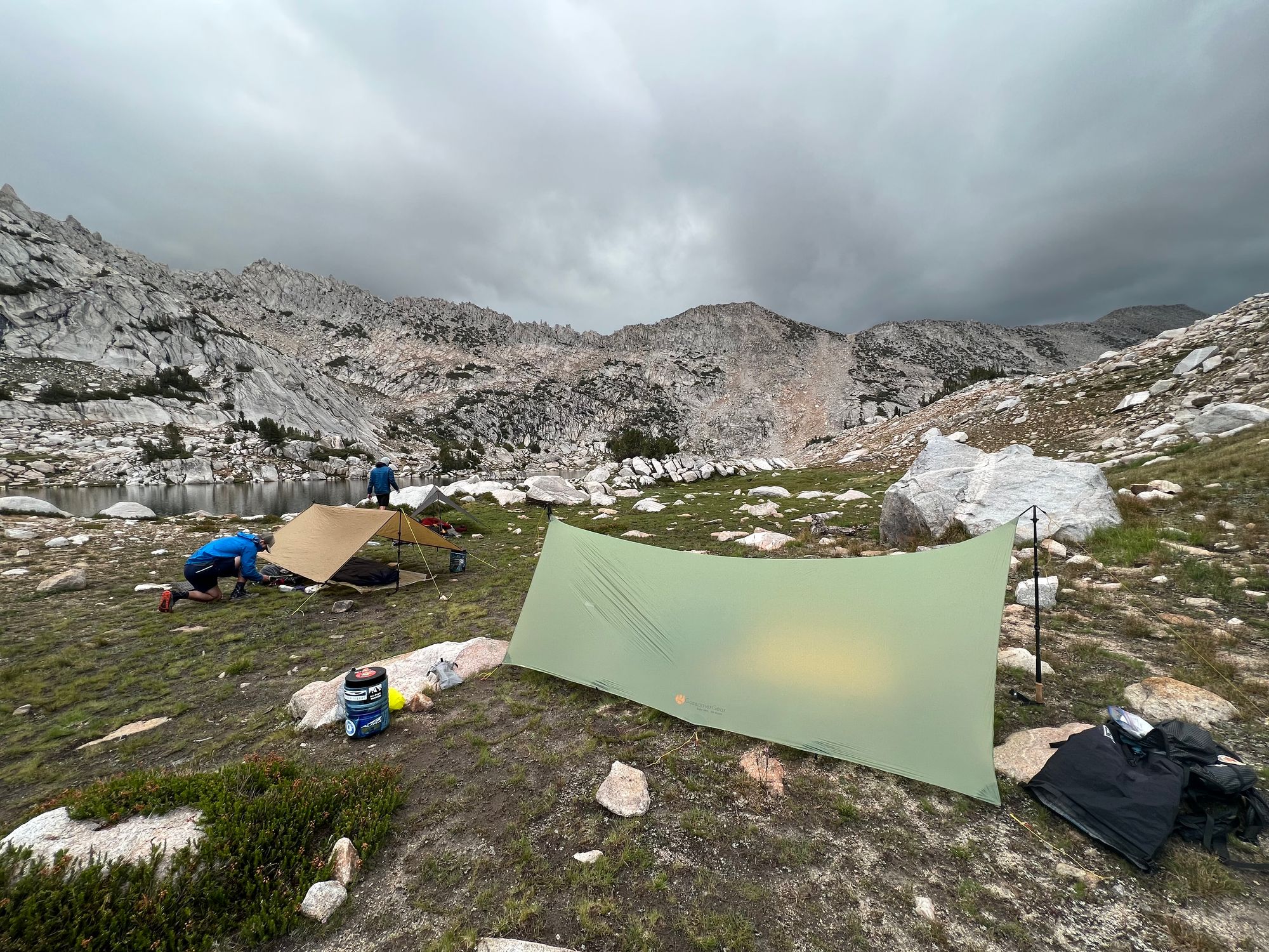
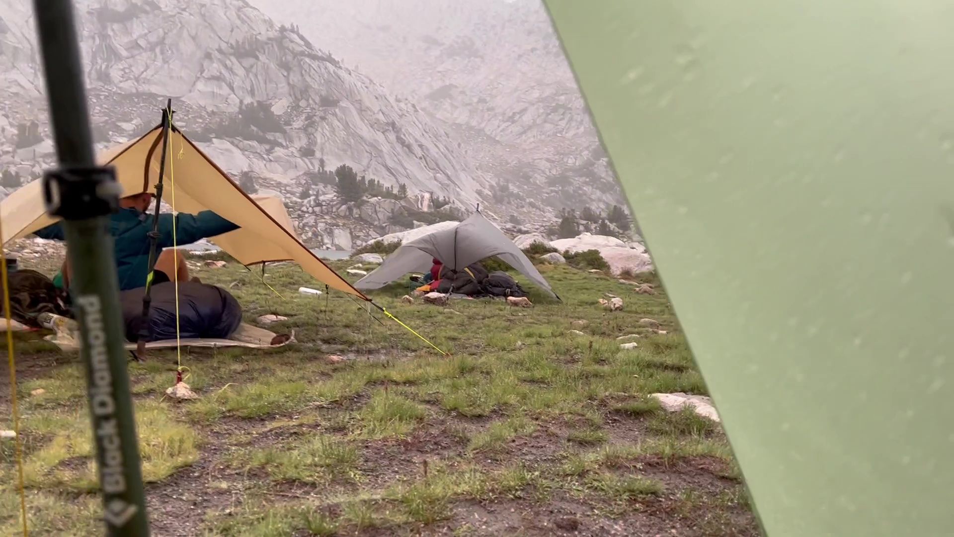
A light rain began covering our stuff as we set up our camp. We began setting up our tarps. By the time we had them set up, another thunderstorm was in full swing. We had our hands full, trying to keep our tarps from collapsing in the intense winds. Rain splatter soaked any gear that wasn't packed watertight.
An hour later, as the sun began to set, the storm was finally over. We made dinner under our tarps and fell asleep exhausted.
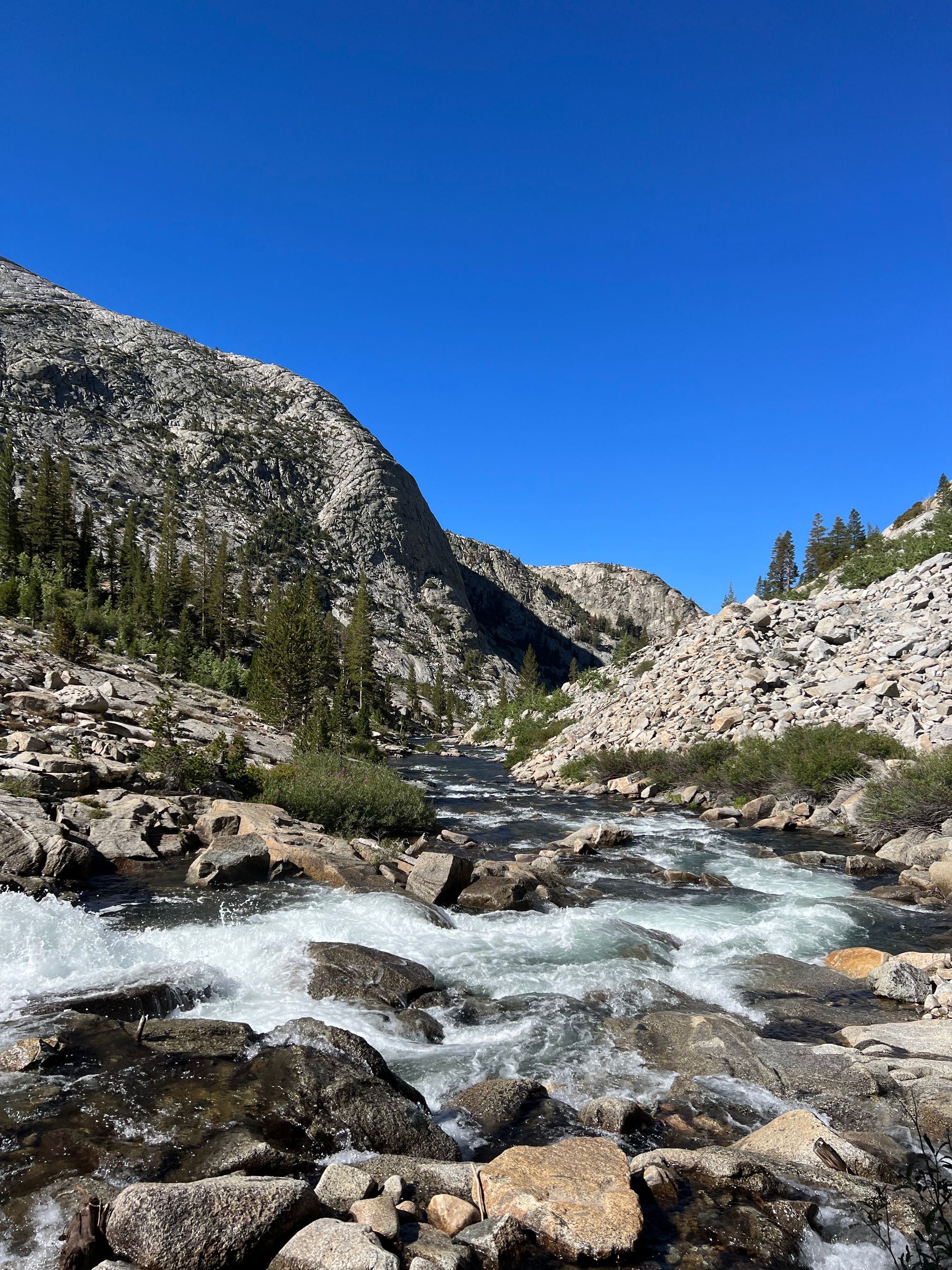
Grinnell Lake to Bear Creek
We had a decision to make. The day before had a 30% chance of thunderstorms, and we got hammered by two intense storms. The forecast for today was a 60% chance of thunderstorms.
Continuing on the SHR up Mills Creek toward Gabbot Pass would mean a high likelihood that we would get stuck on the wrong side of the pass, well above the treeline again.
We decided to play it safe and stay low: take Mono Creek Trail to the JMT, follow it to the Lake Italy trail junction, and rejoin the SHR the next day.
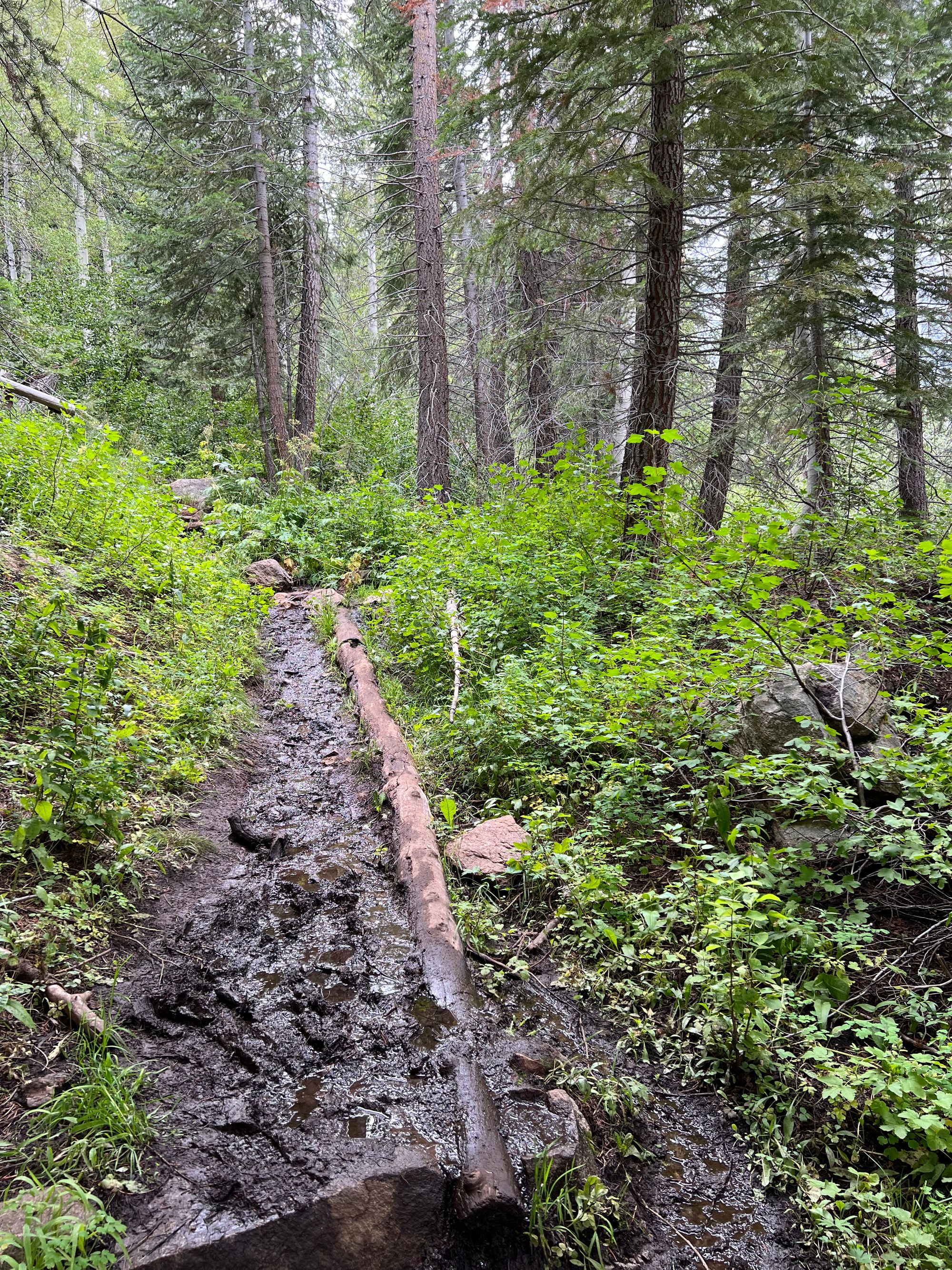
The morning was supposed to be easy walking. We followed the shoreline and planned to take a use trail marked on the USGS topo map down to Laurel Creek. The only problem was that there was no trail. The line on the map went down a steep granite wall.
It took us a while to figure out a safe way down. As we descended, another group of SHR backpackers came to meet us. They had tried to go up the same non-existing trail the night before but gave up and set up camp as the rain had started.
Finally, down from the steep, wet cliff, we followed the faint trail along Laurel Creek through wet meadows and joined Mono Creek Trail. We followed the path through an open forest for a few miles before stopping at the JMT junction for a snack break.
The sky looked ominous as we continued down toward the VVR junction. Occasional showers of big raindrops made us happy that we weren't up at higher elevations trying to get over a pass.
The air was hot and humid as we began the long climb up Bear Ridge. The muddy trail and lush green vegetation felt more like the Pacific northwest than the Sierras in August.
The weather began to clear up late in the afternoon. By the time we began descending into the Bear Creek basin, the sky was blue with a few remaining fluffy clouds.
We set up camp along the creek well before sunset, so we'd have time to dry out gear and get washed up before dark.
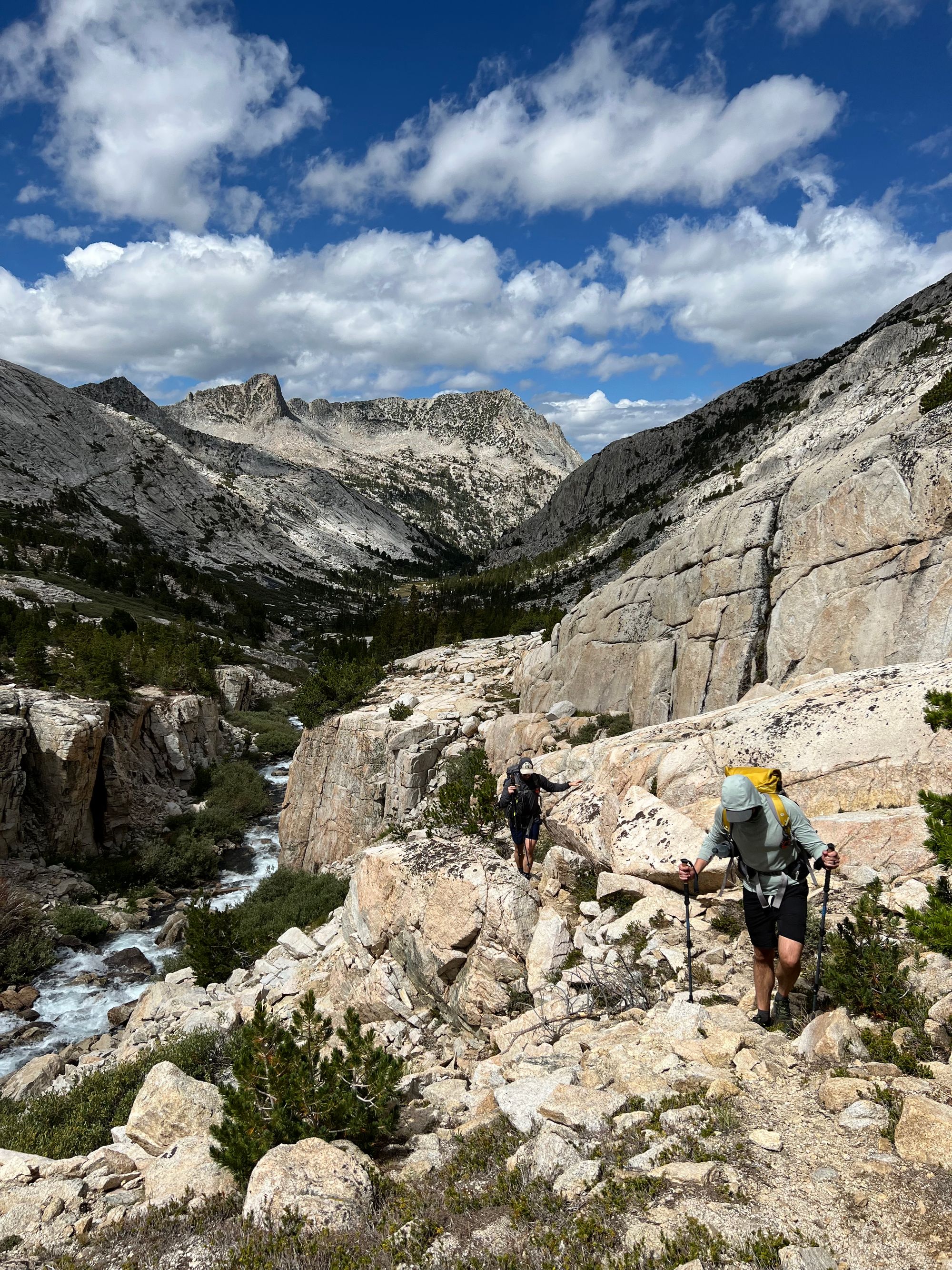
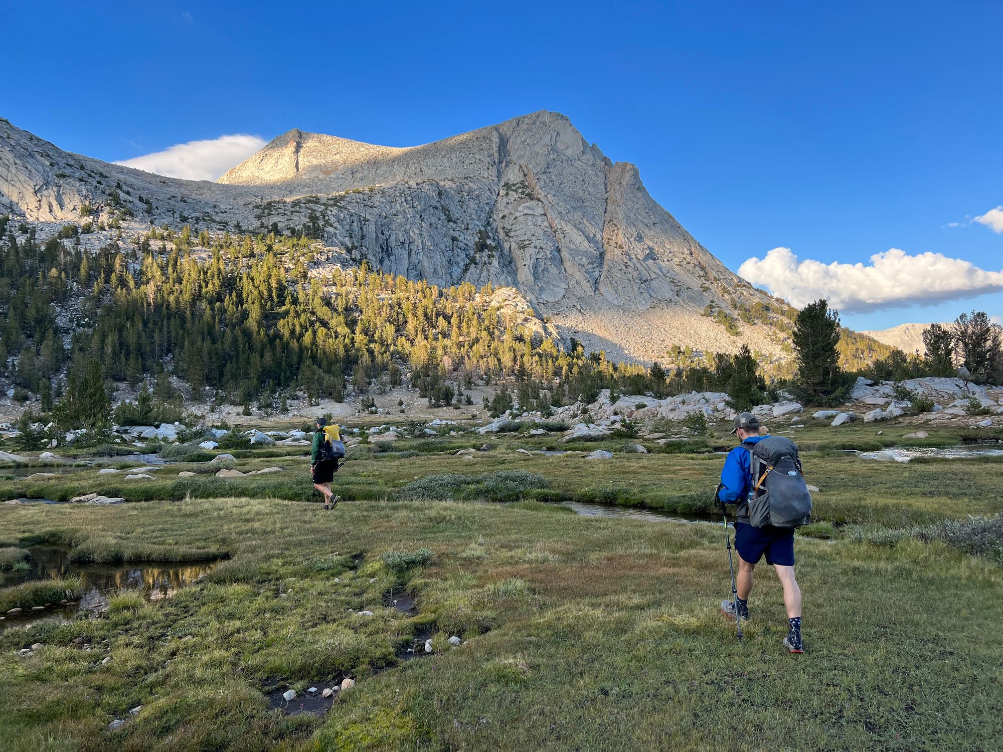
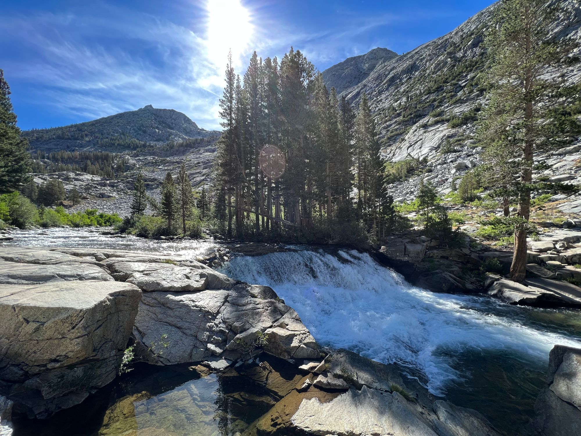
Bear Creek to French Canyon
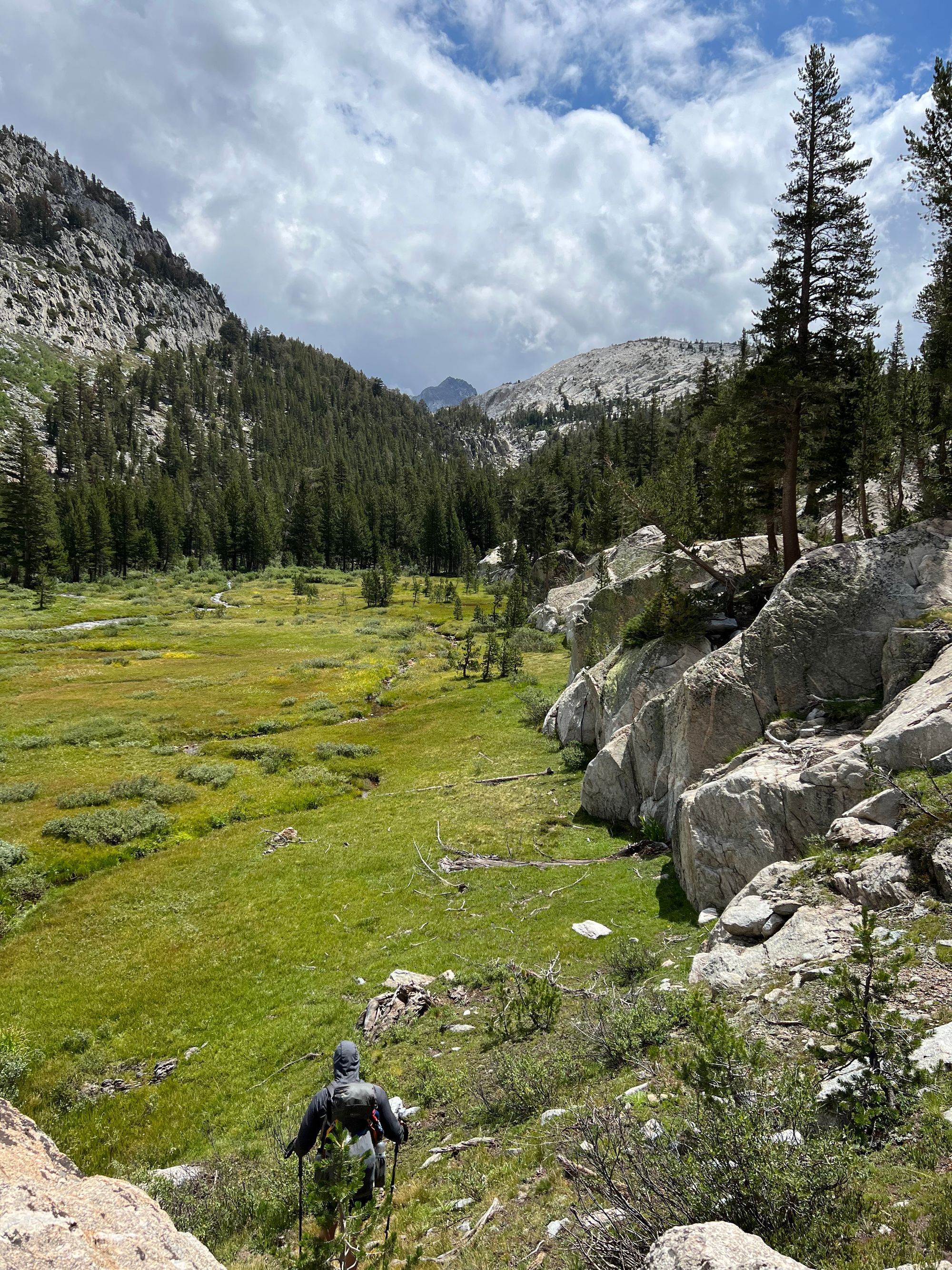
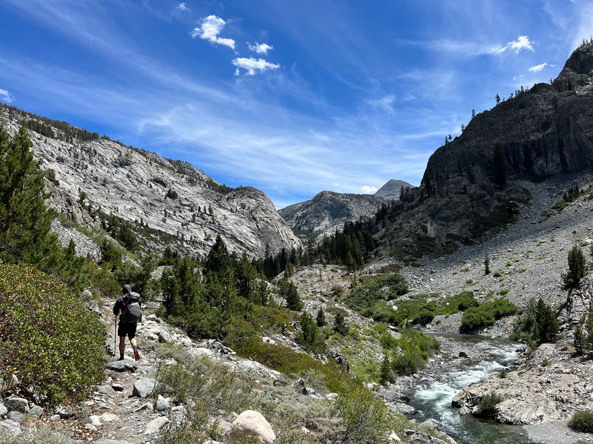
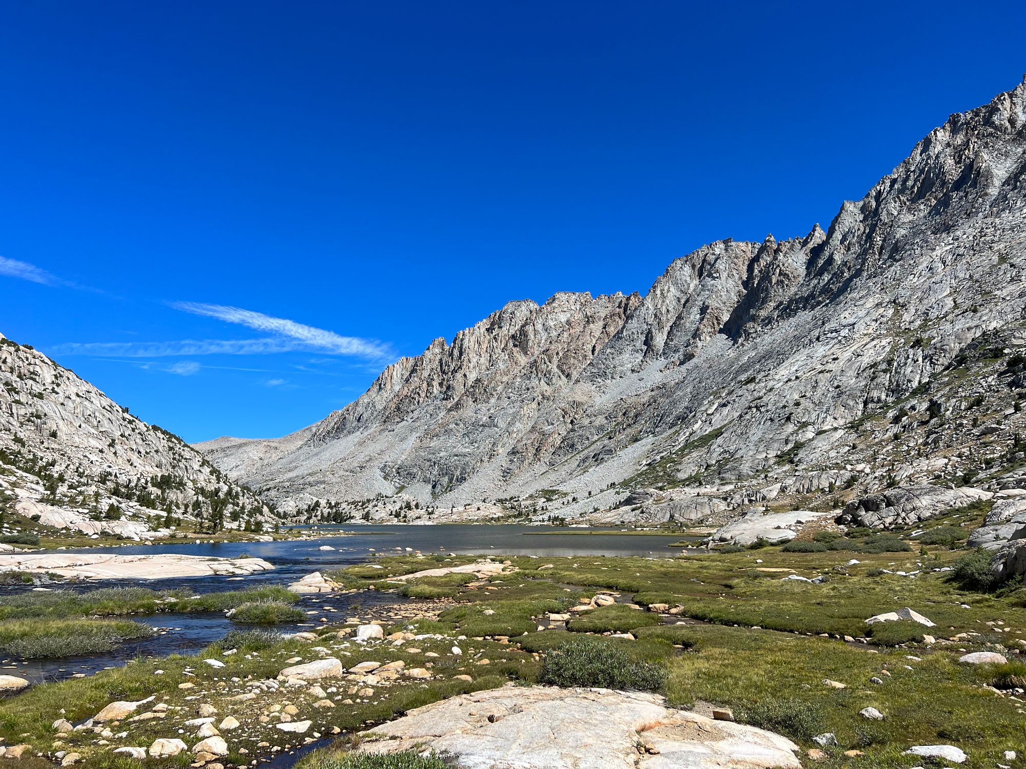
Well-rested after a dry night, we made our way up the Lake Italy Trail. After a short initial climb, we were greeted by a lush open forest along the creek. The ground was still soggy from the recent rain. Small runoff streams sometimes made it hard to follow the trail because they looked more like a trail than the trail itself.
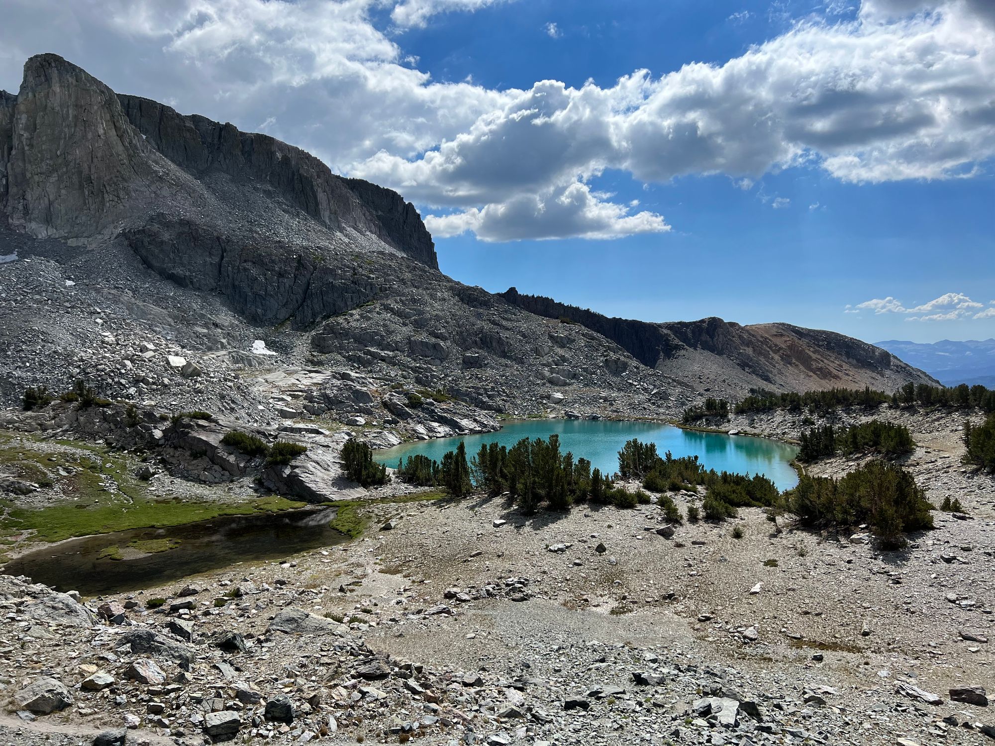
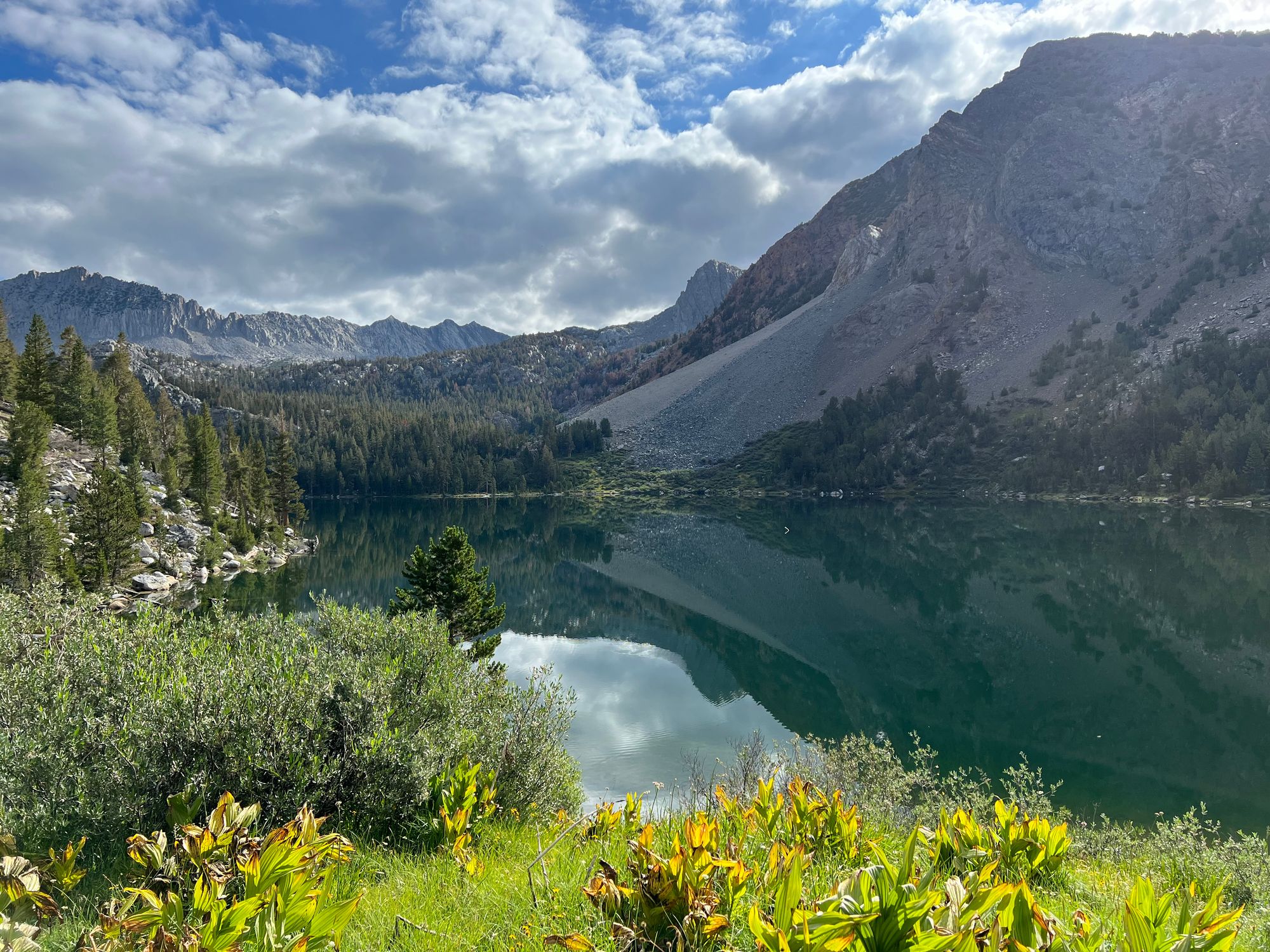
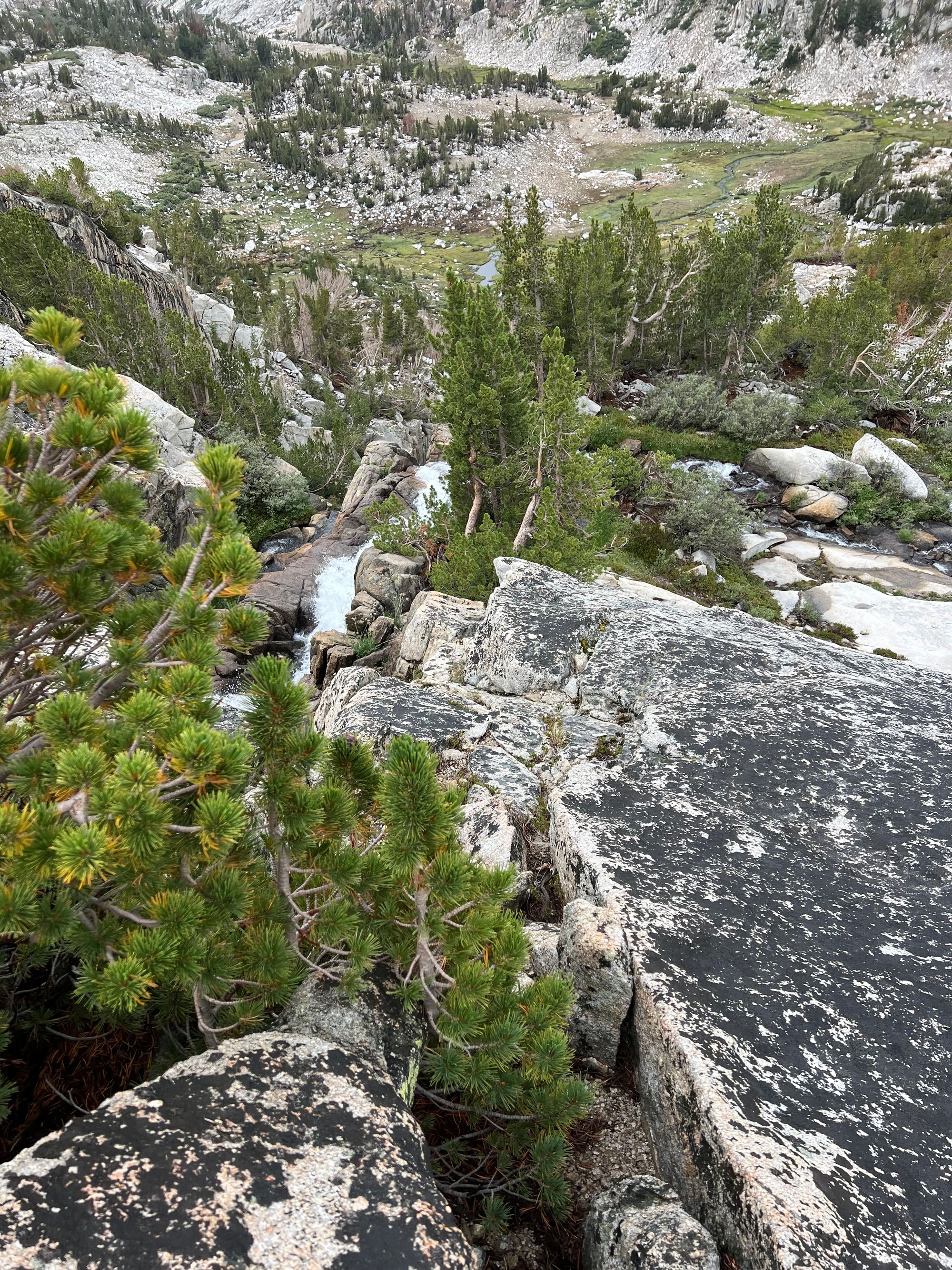
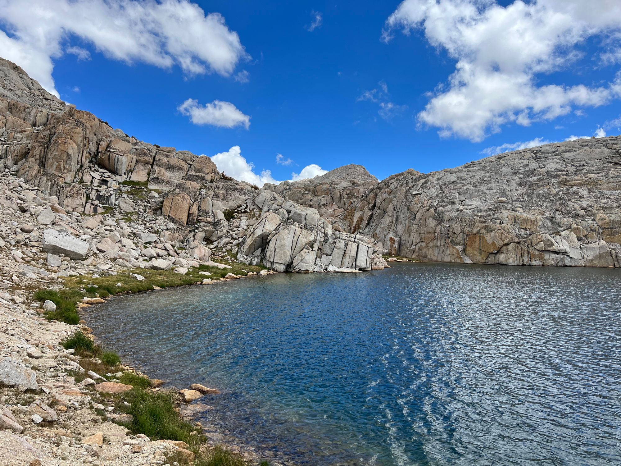
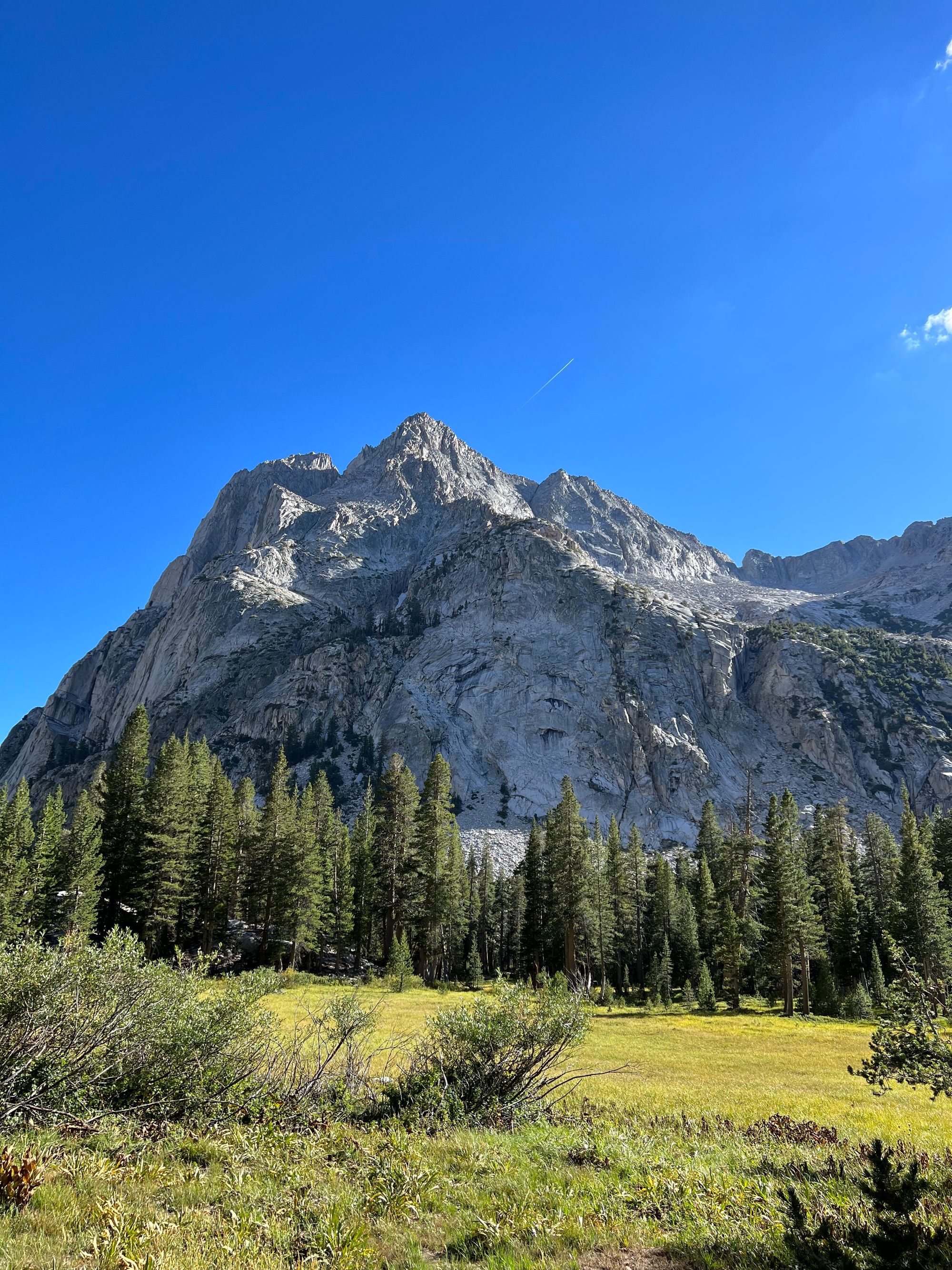
The blue sky and sunshine were welcome changes to the cloudy and rainy weather we had the previous days. As we made our way up the valley, we passed through a narrow ravine with thundering rapids. We walked along granite slabs until we got above the gorge. Finally, we left the trail and made our way to Brown Bear Lake.
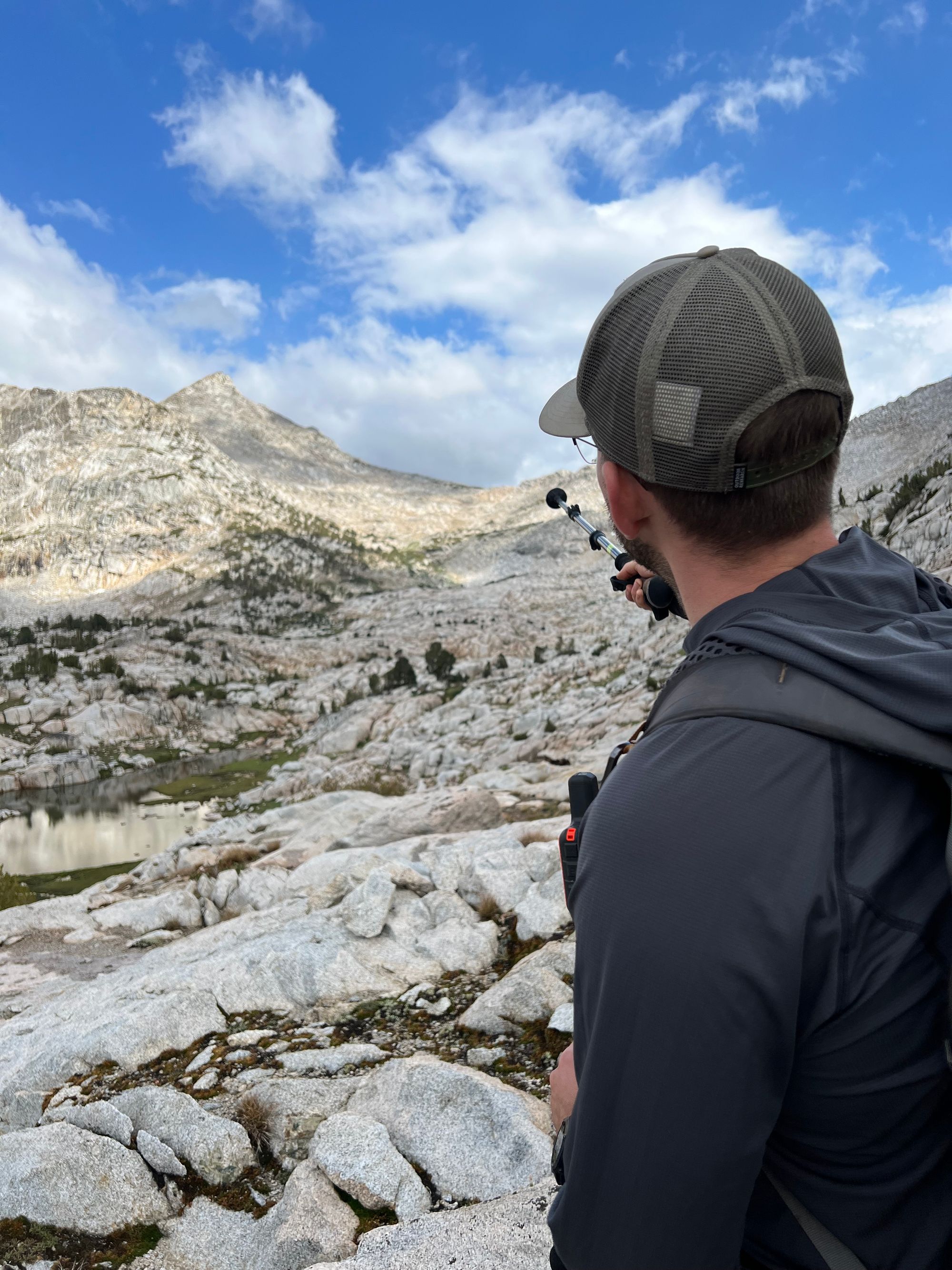
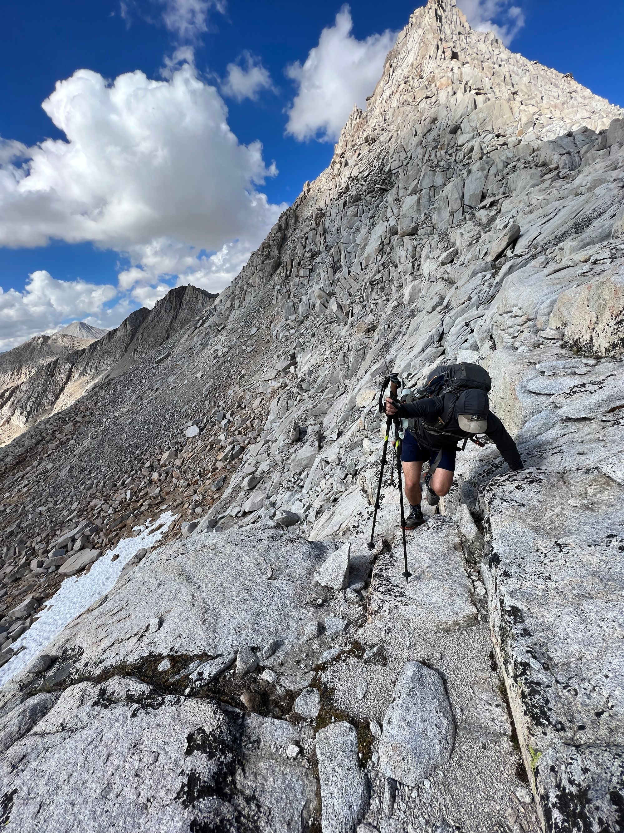
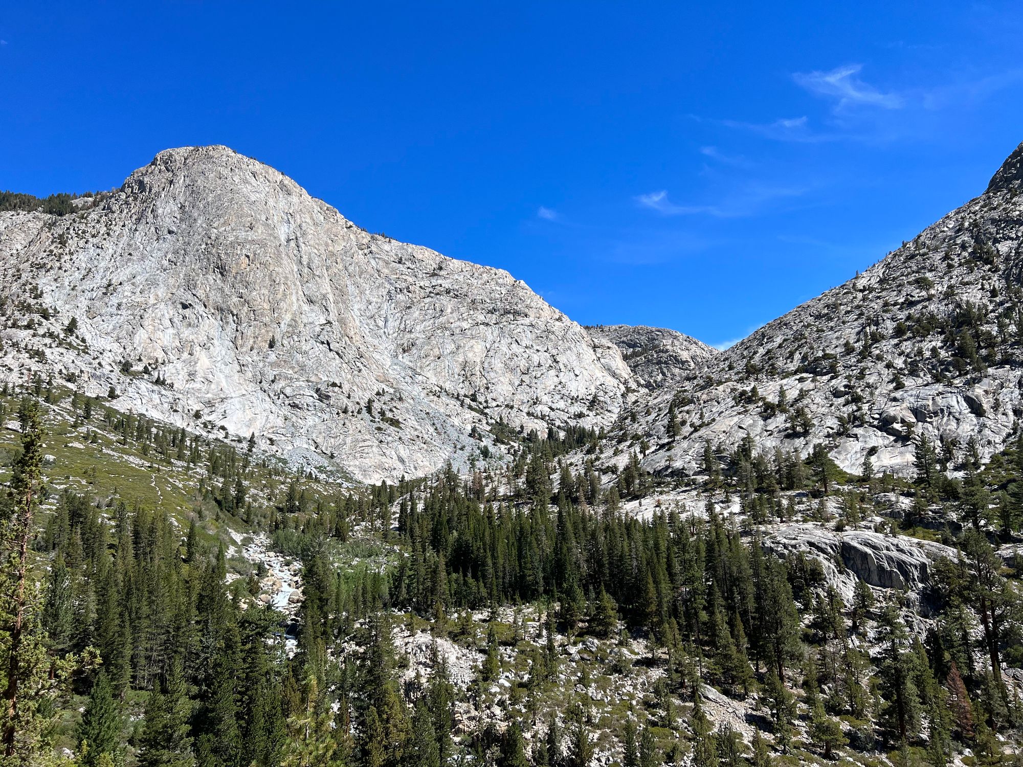
We had lunch on the shore of the lake, looking up at the pass we were about to climb. Brown Bear Pass was described with only a few sentences in Roper's book, but some blogs we had read before heading out had warned us that it's challenging.
We planned our route as we ate. The way we like to approach challenging terrain is to make short-term goals like reaching a specific landmark and then making a new goal when we get there. Working together as a team, we've always found a route everyone has been comfortable with. This time was no exception.
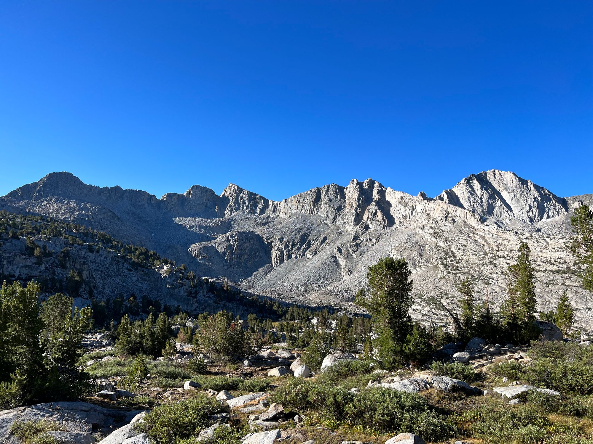
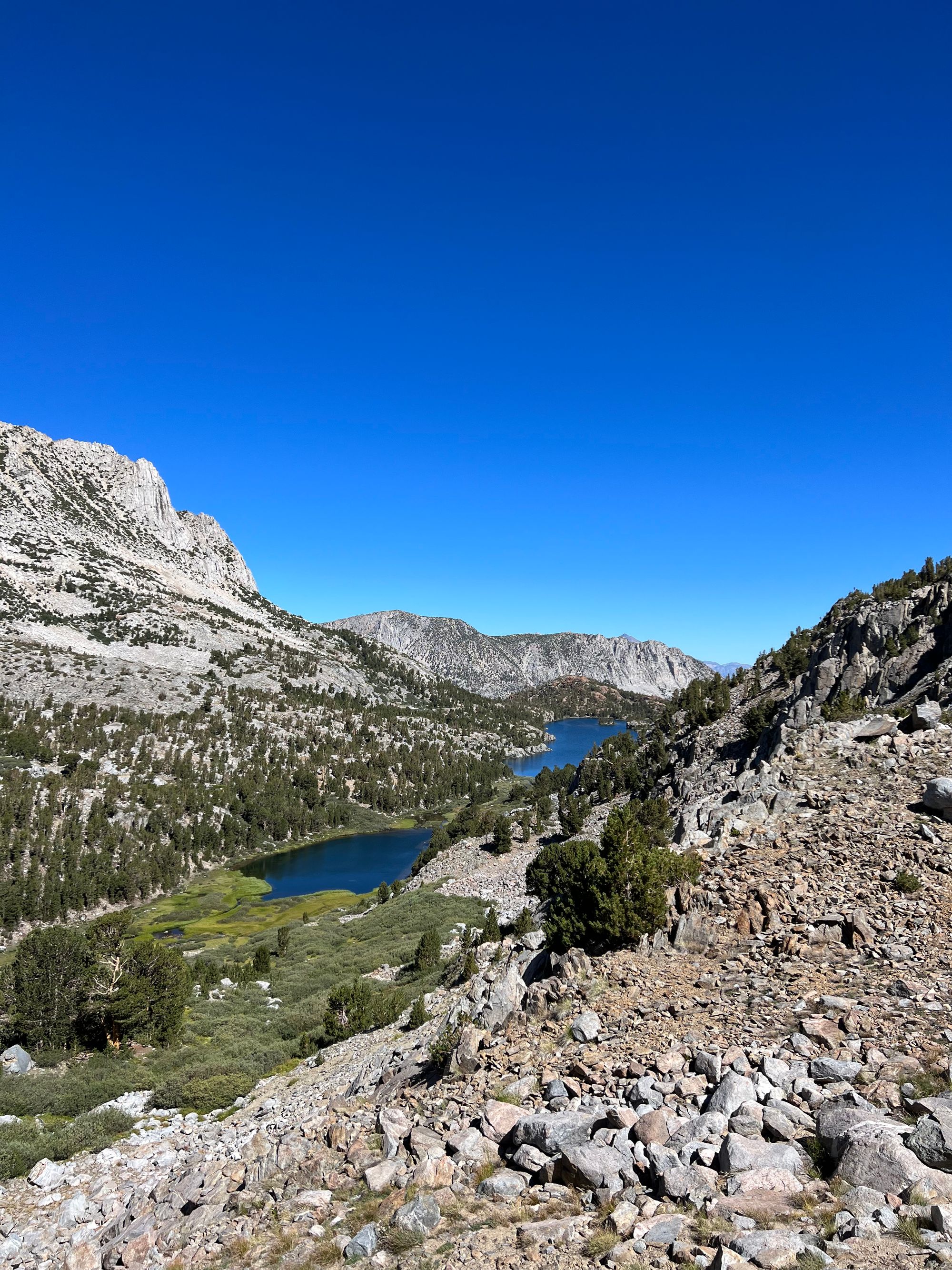
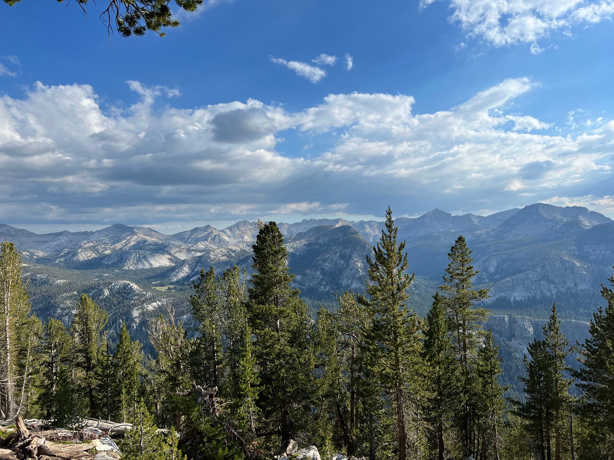
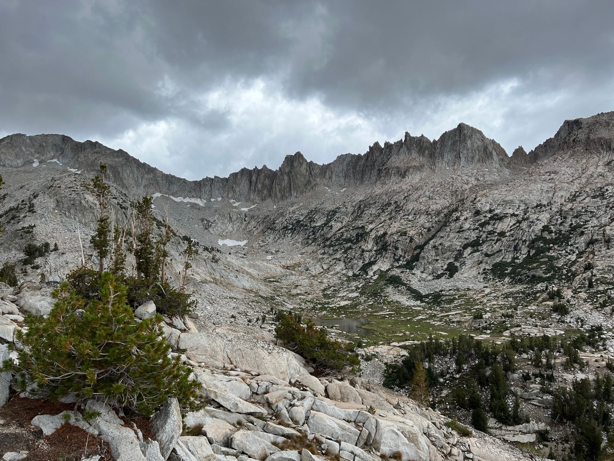
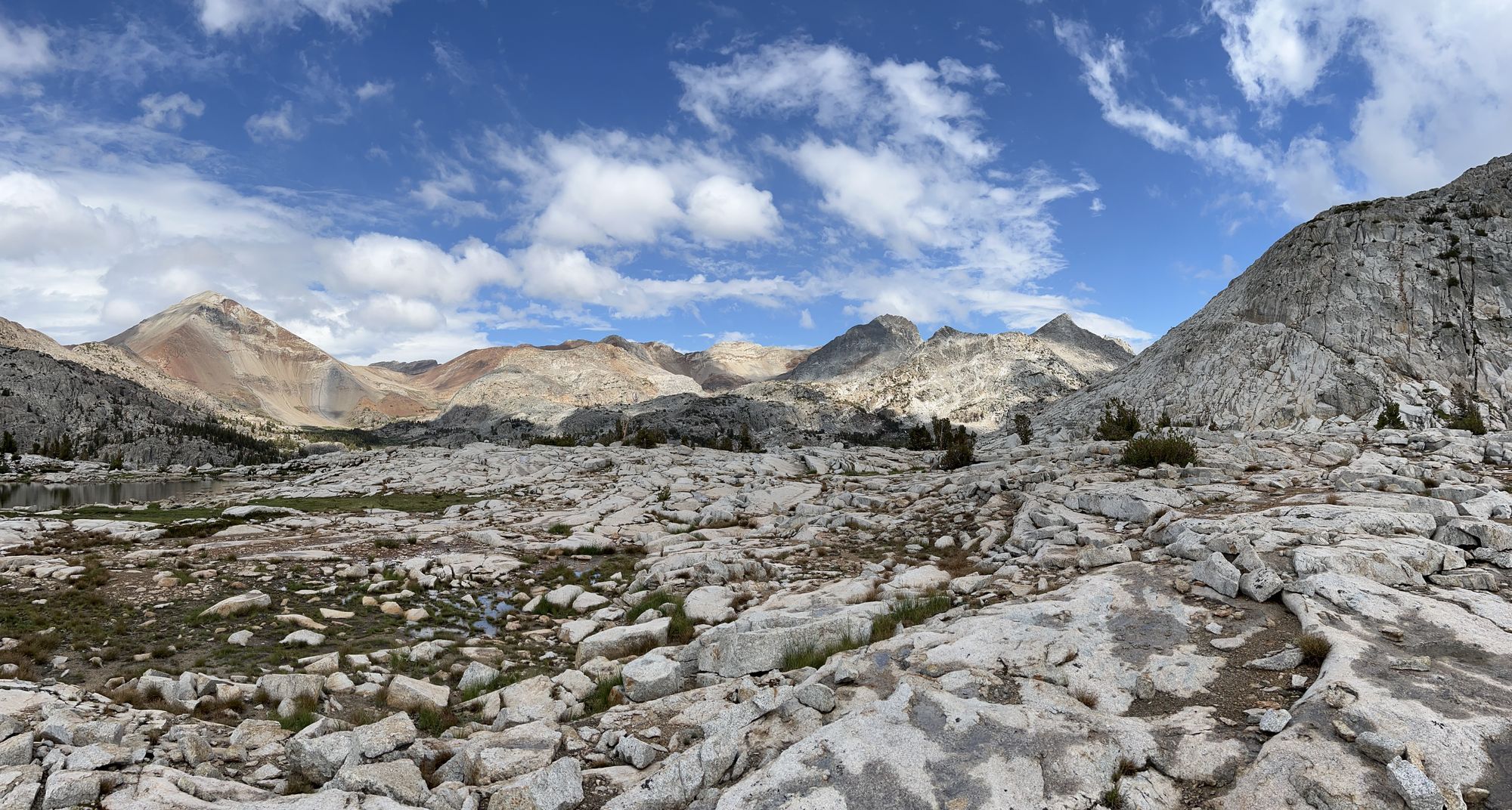
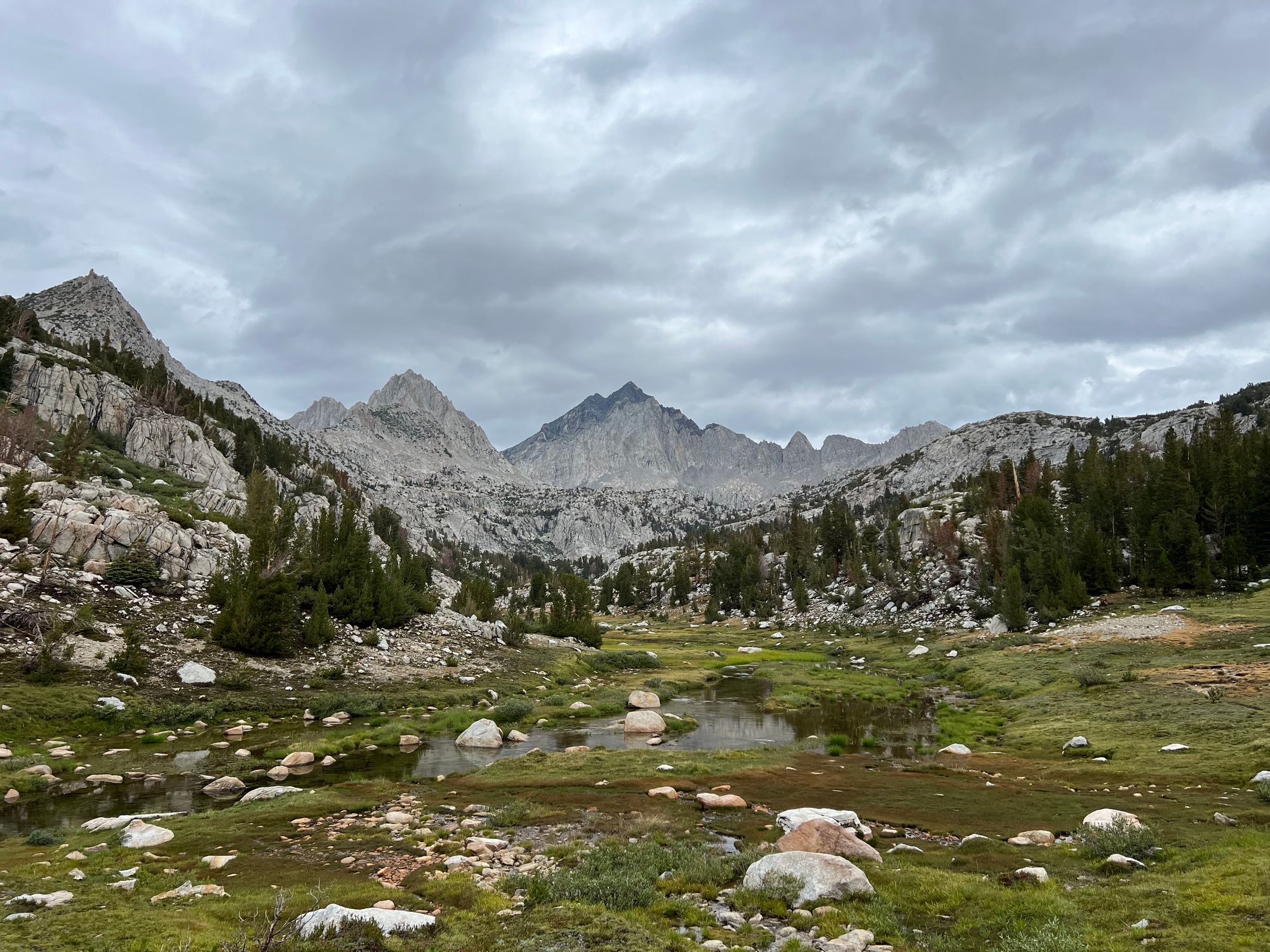
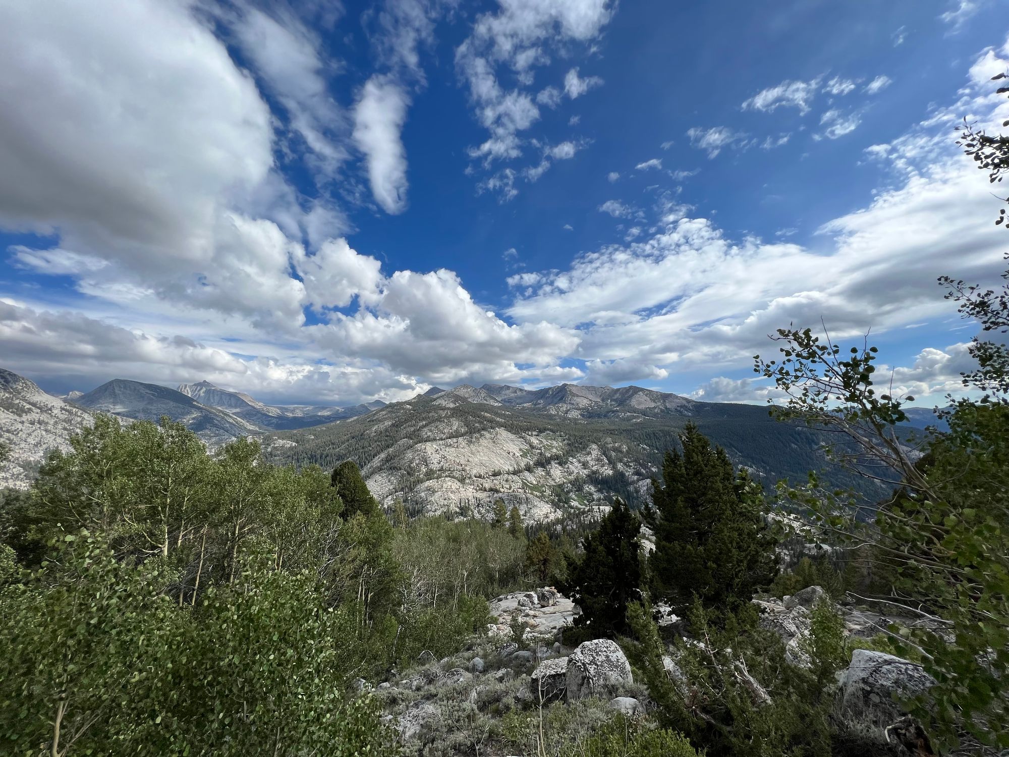
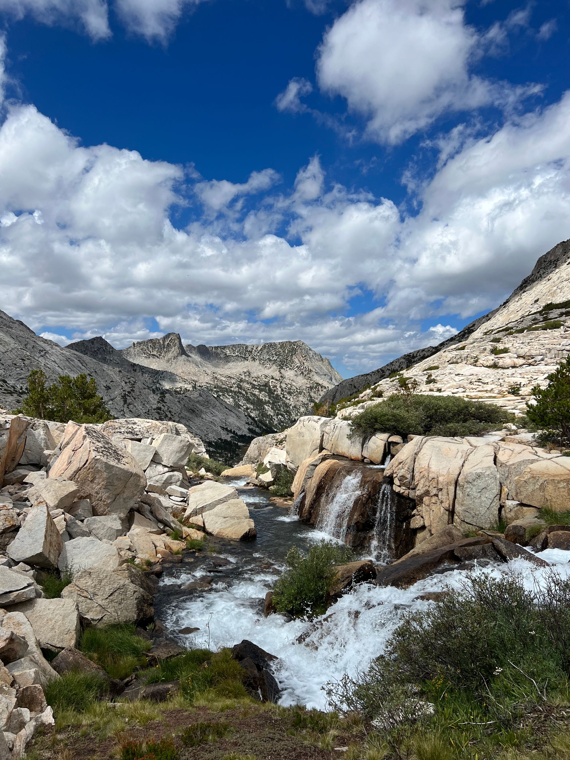
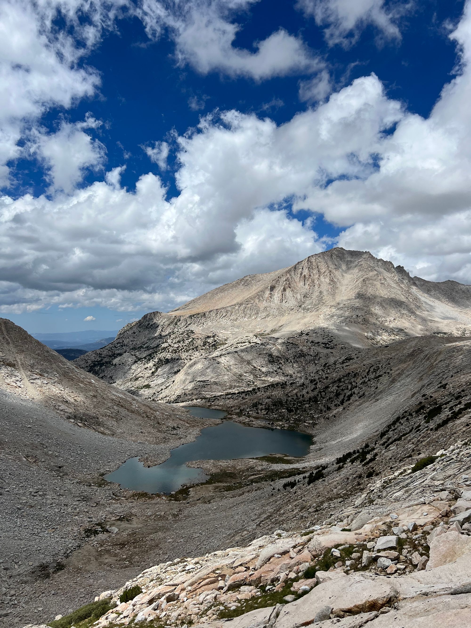
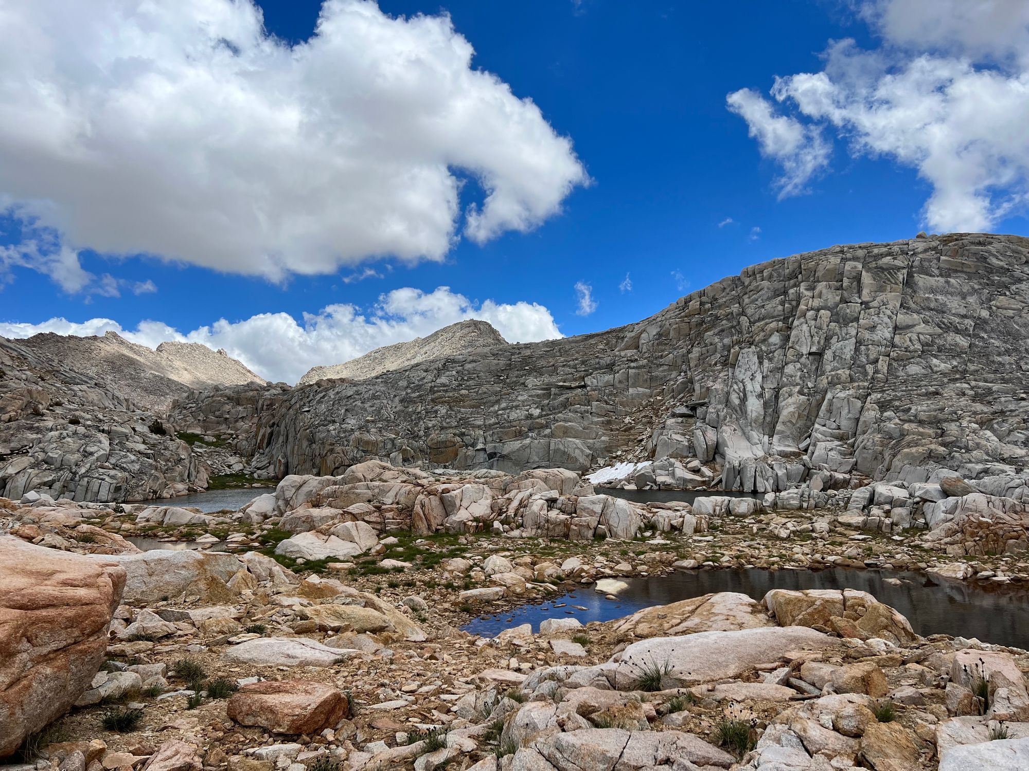
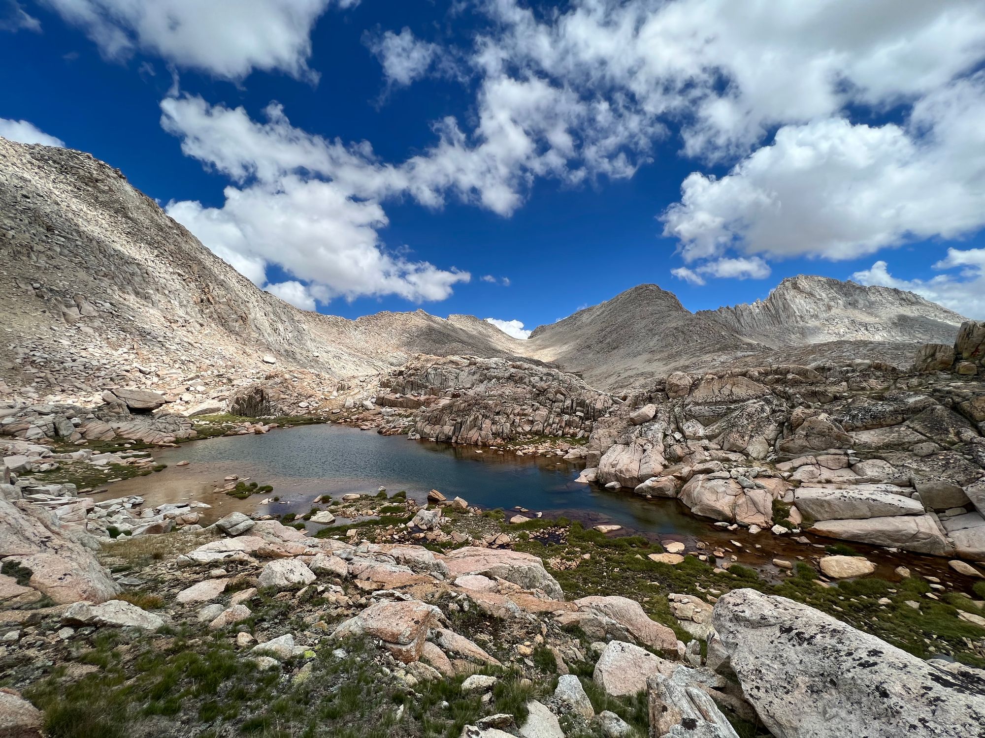
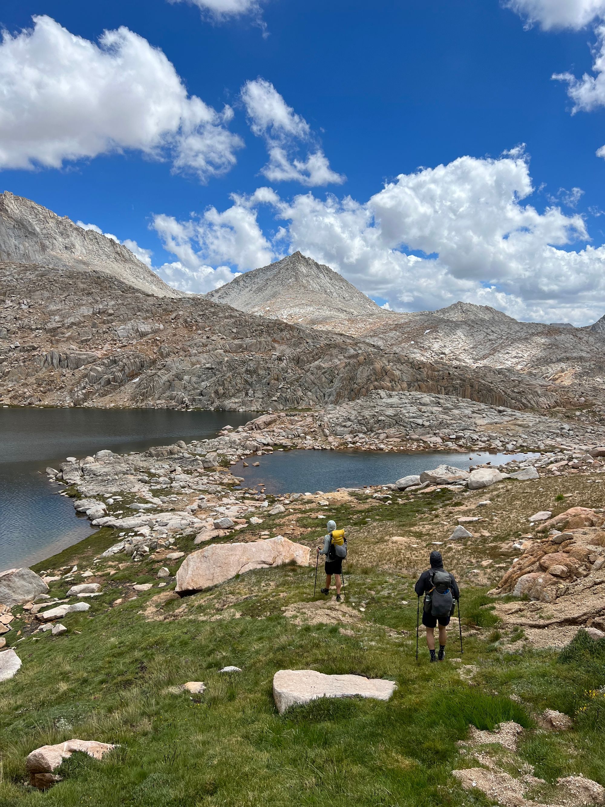
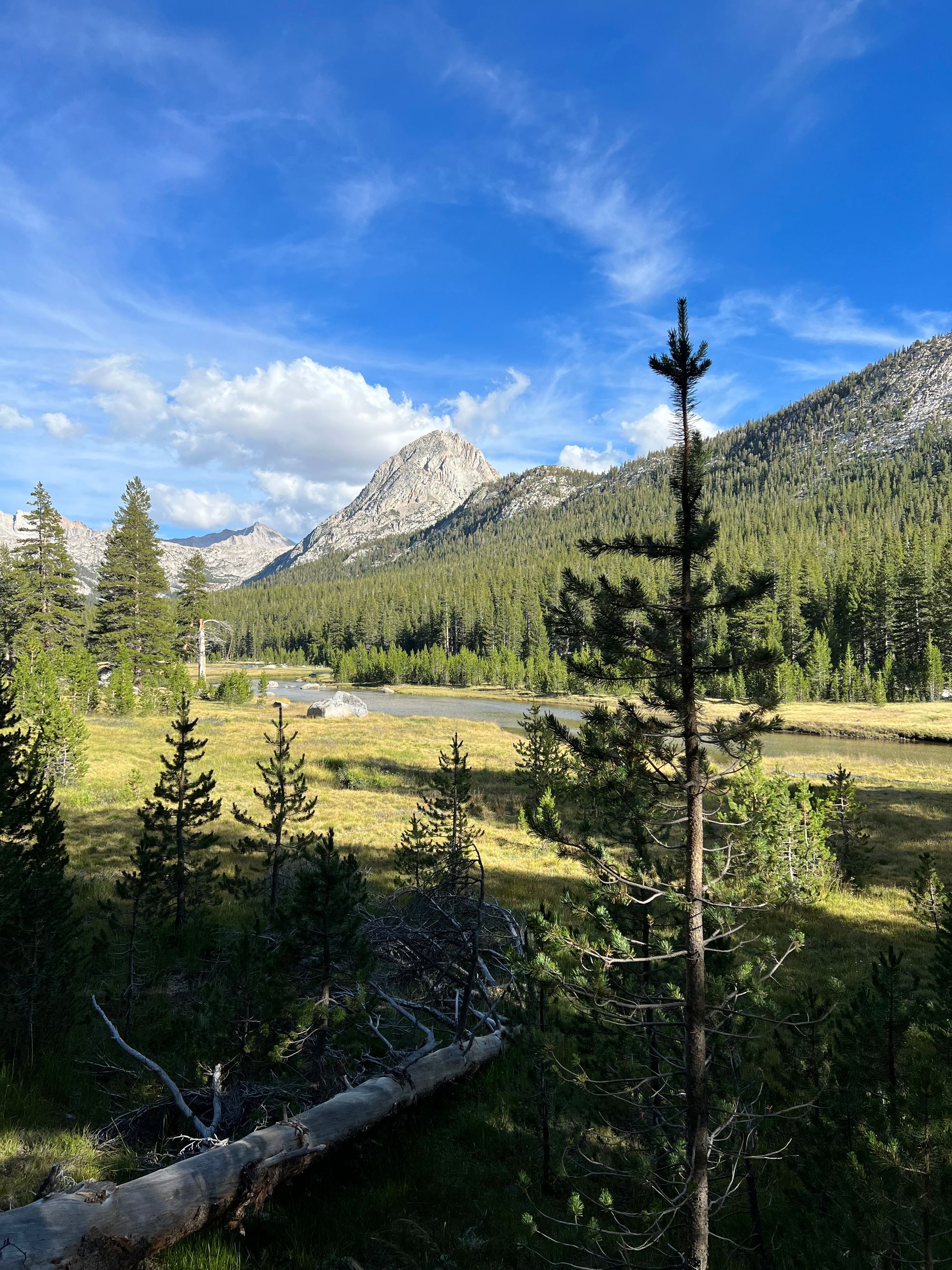
The Bear Lakes area was some of the most spectacular scenery on the trip. The walking was easy between the passes, allowing us to enjoy our surroundings.
Feather Pass was a reasonably straightforward scramble on talus. The rocks got steep just before the top, but nothing too crazy.
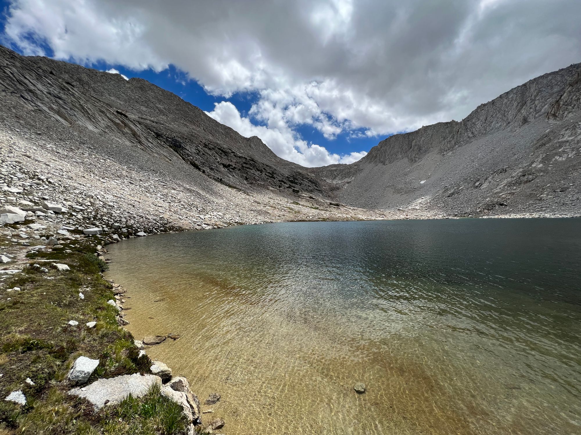
From the top of the pass, we headed toward La Salle Lake. The way we chose ended up being more challenging than we had anticipated. We had to downclimb a bit before reaching the shore.
Steve rolled his ankle on a steep section just south of La Salle. Fortunately, he was able to continue walking on it.
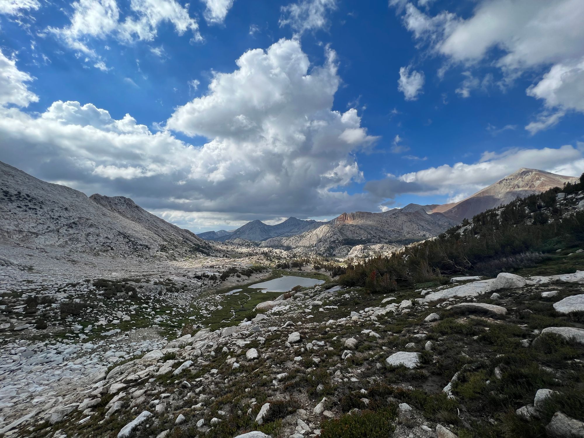
The "trail" down from Merriam Lake was non-existent for the first few miles. We gave up trying to follow it and just walked in the general direction we were headed in.
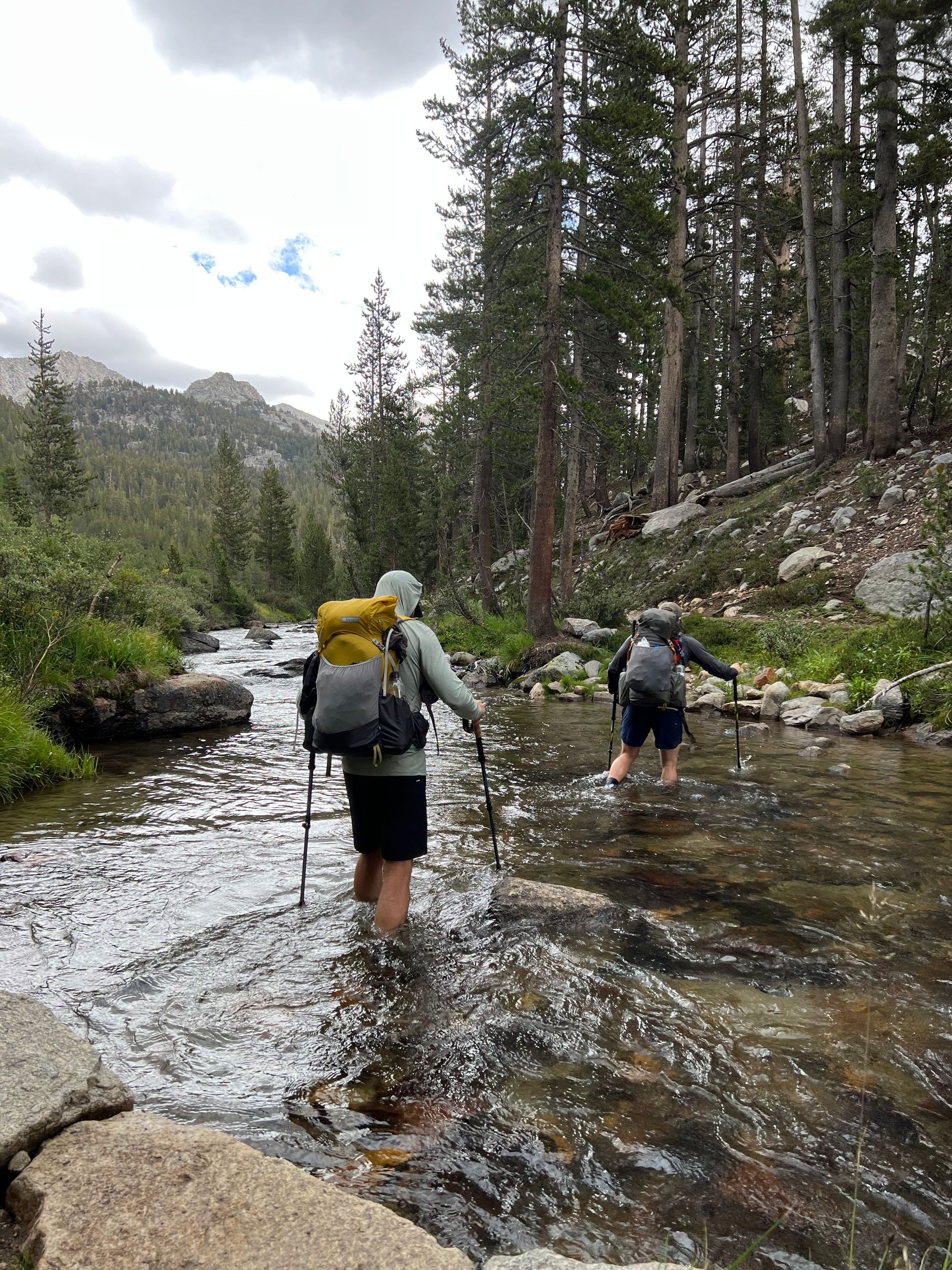
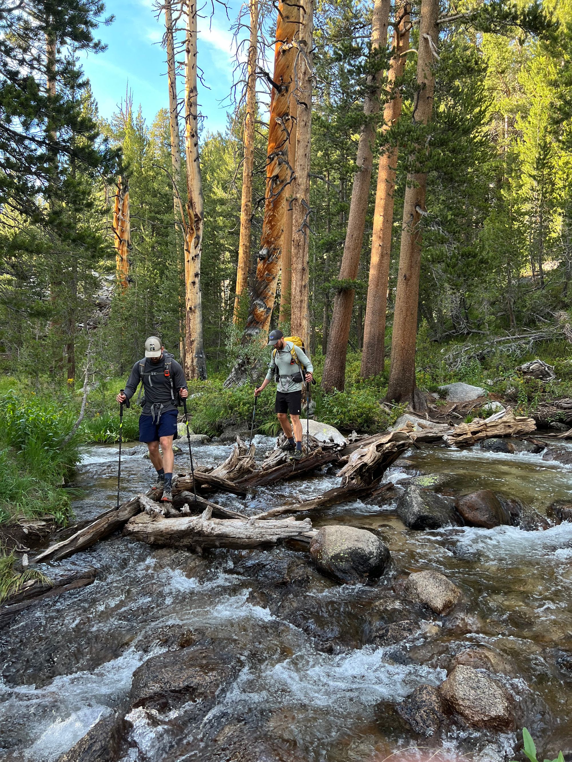
The small creek running out from the lake was flowing strong, and we spent a considerable amount of time trying to find a way to cross it without getting our feet wet at the end of the day.
The entire way down from the pass had been rocky and sandy. The trail was no exception. The sun had already dipped behind the mountain, and we lost the trail several times in the last mile because runoff water had carved out trail-looking streams all over the place.
Exhausted, we got down to the French Canyon trail junction. We set up camp at the edge of a meadow right by the intersection just as the last daylight faded. The air was oppressively humid, and mosquitoes were eating us up alive. A tasty warm meal improved our spirits.
French Canyon to Evolution lake
We woke up drenched in condensation. Not surprising given our campsite, but annoying nonetheless. My pad had also sprung a leak overnight, which meant I had to get up every 3 hours to inflate it.
Steve's ankle showed some bruising from the day before. It held his weight, but we decided that technical terrain was not a great idea.
To play it safe, we decided to take the Piute Canyon trail down to the JMT and stay on it for the remainder of the trip. Even though we'd miss a section of the SHR, we would get to enjoy Evolution Valley and some of the nicer parts of the JMT.
The day started with a 2,000 ft descent along Piute Canyon to San Joaquin River, where we would join up with the JMT. We made good time despite the rocky terrain.
We stopped in the shade at the JMT junction and filled up on water. It was hot again now that we were down at 8,000 feet. Good thing we had 3,000 ft of elevation left to climb for the day.
We decided to have a yard sale before starting the climb up to Evolution Valley, spreading out all our things in the sun. The hot weather and breeze dried out everything in no time. I also managed to patch my pad. Well caffeinated, and with our packs full of dry gear, we headed up to Evolution Valley.
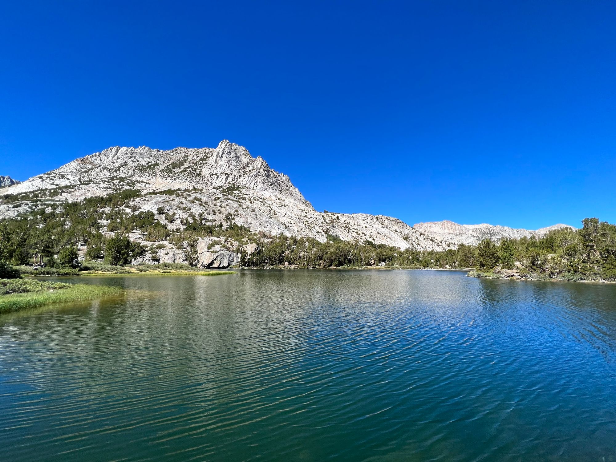
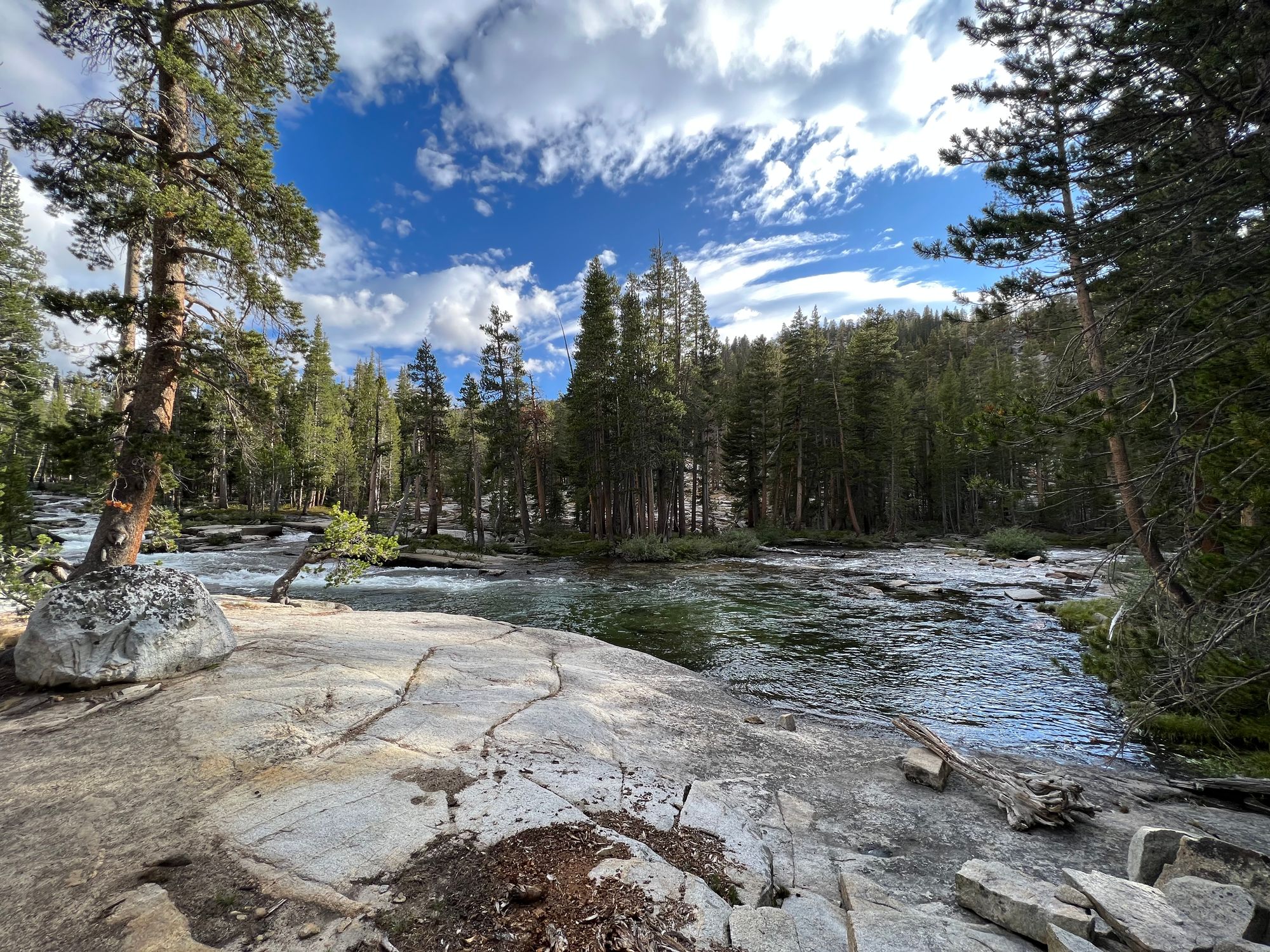
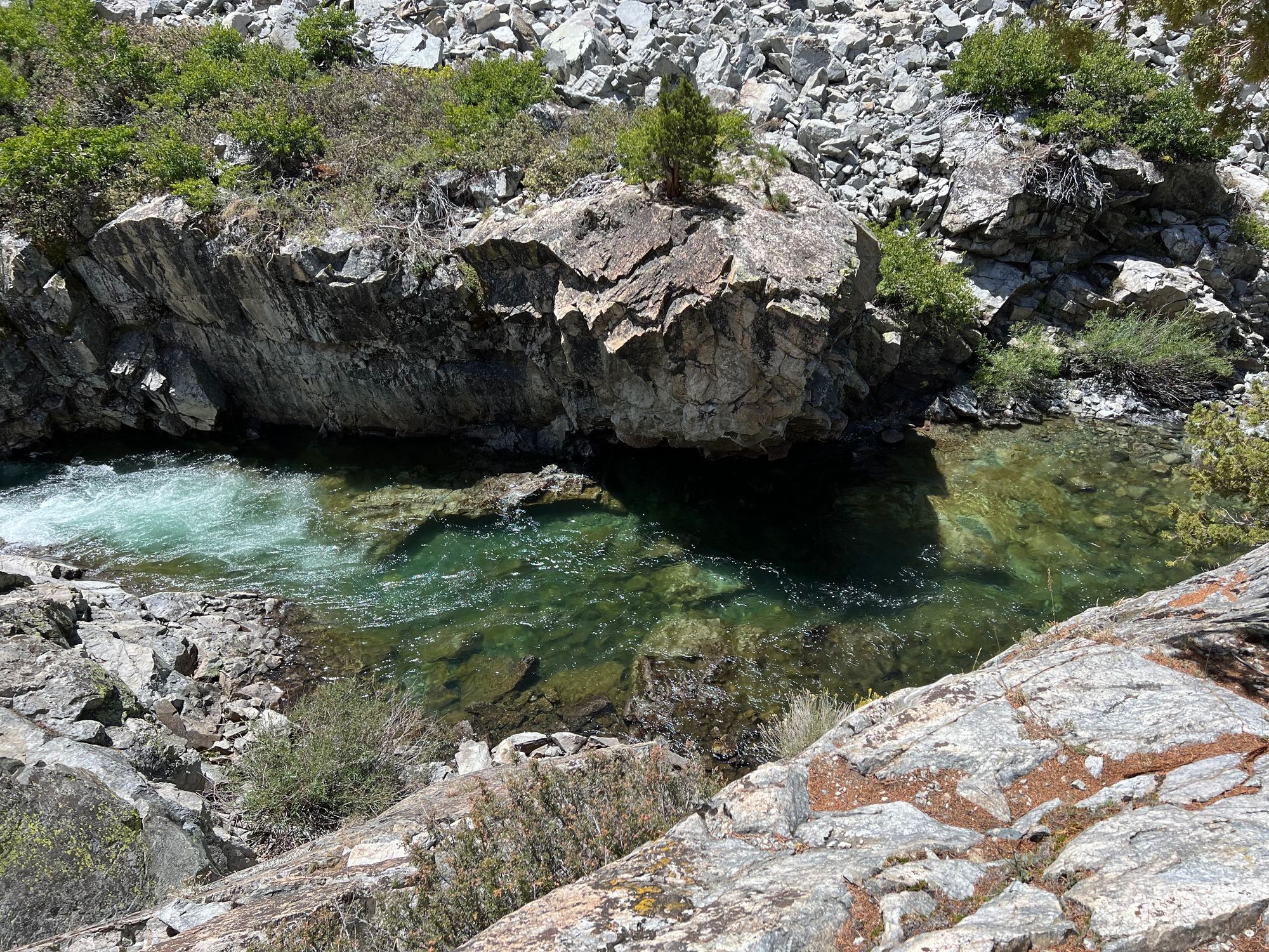
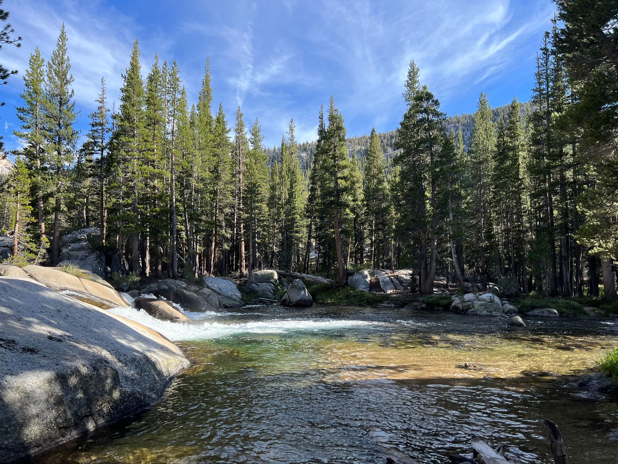
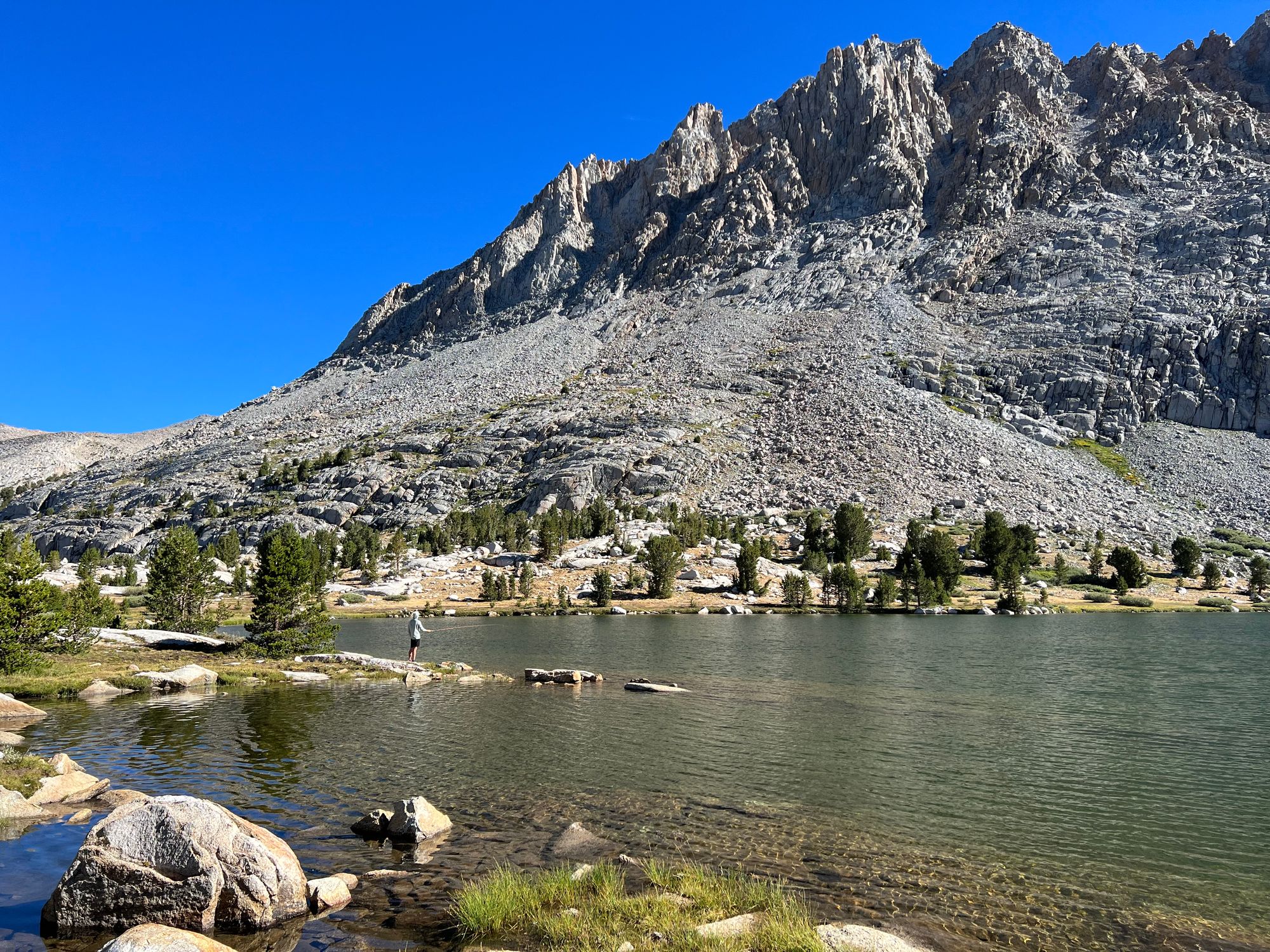
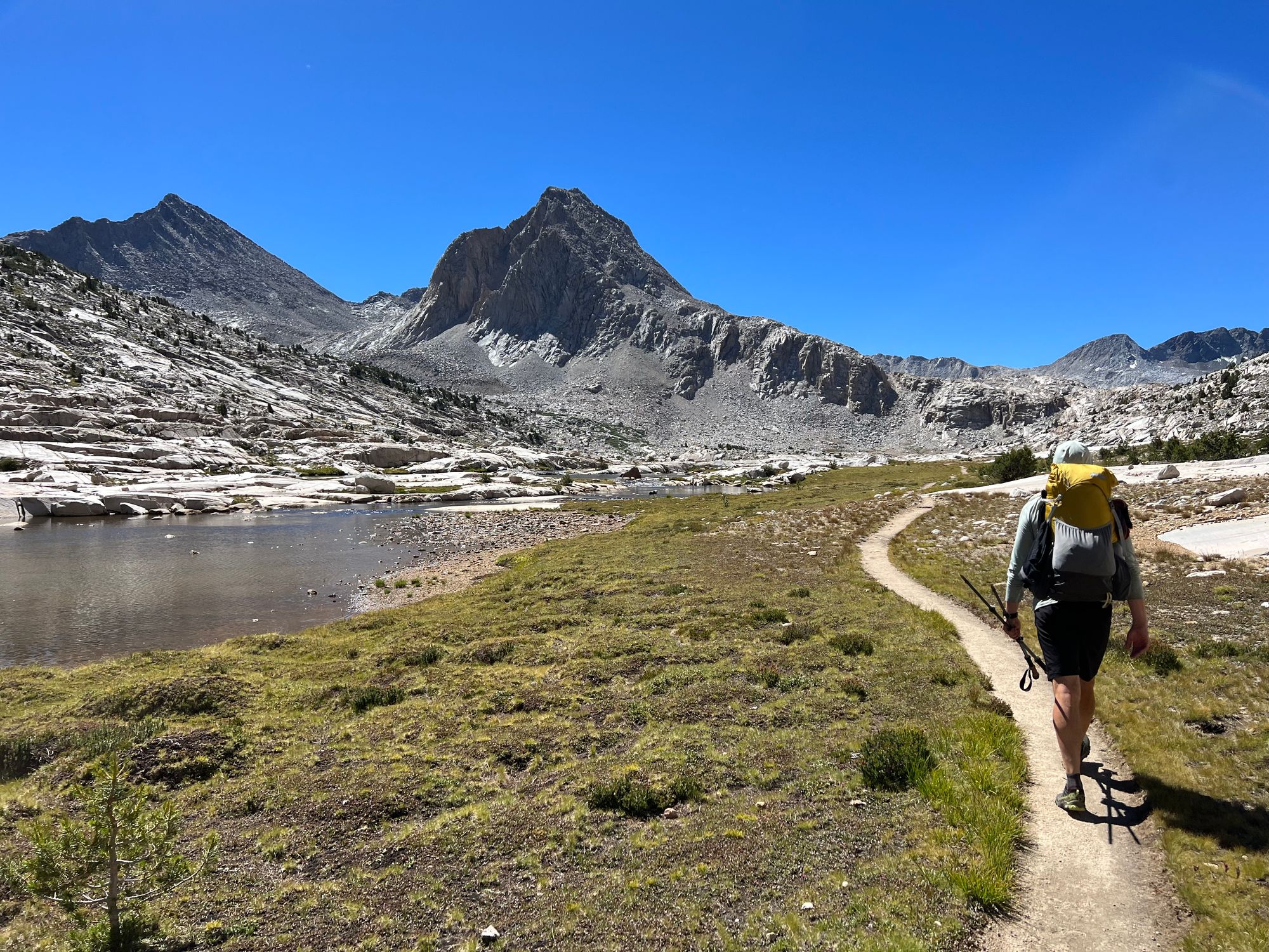
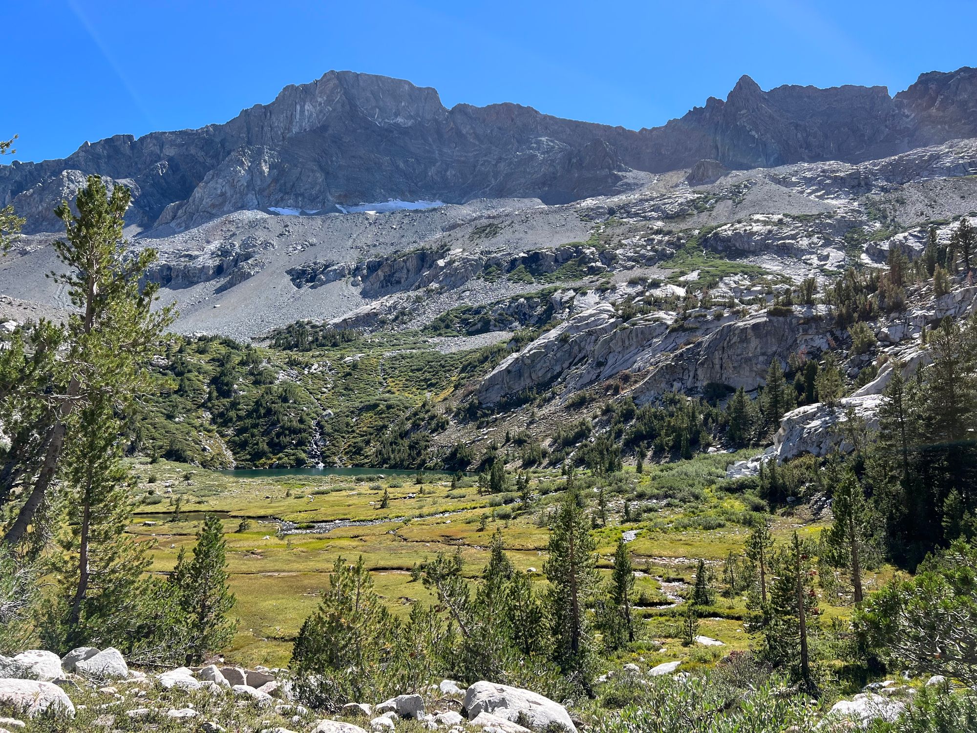
Evolution Valley was as beautiful as I remembered. The deep turquoise pools in the creek looked inviting for fishing, and I did catch a couple of golden trout.
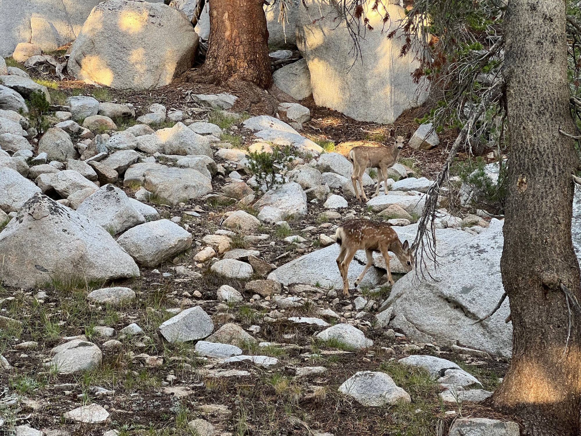
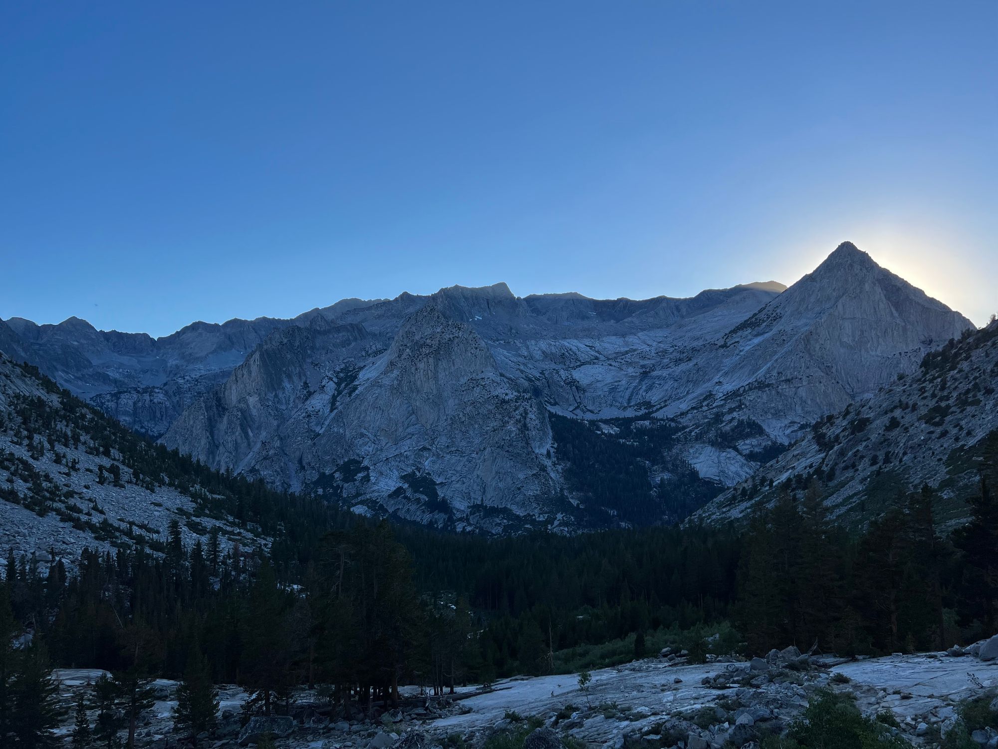
We hadn't seen any large animals until Evolution Valley. Then, all of a sudden, we ran into several deer. They didn't seem to care about us at all. One family of deer kept us company on the final long climb up to Evolution Lake. They even came to visit us in our camp.
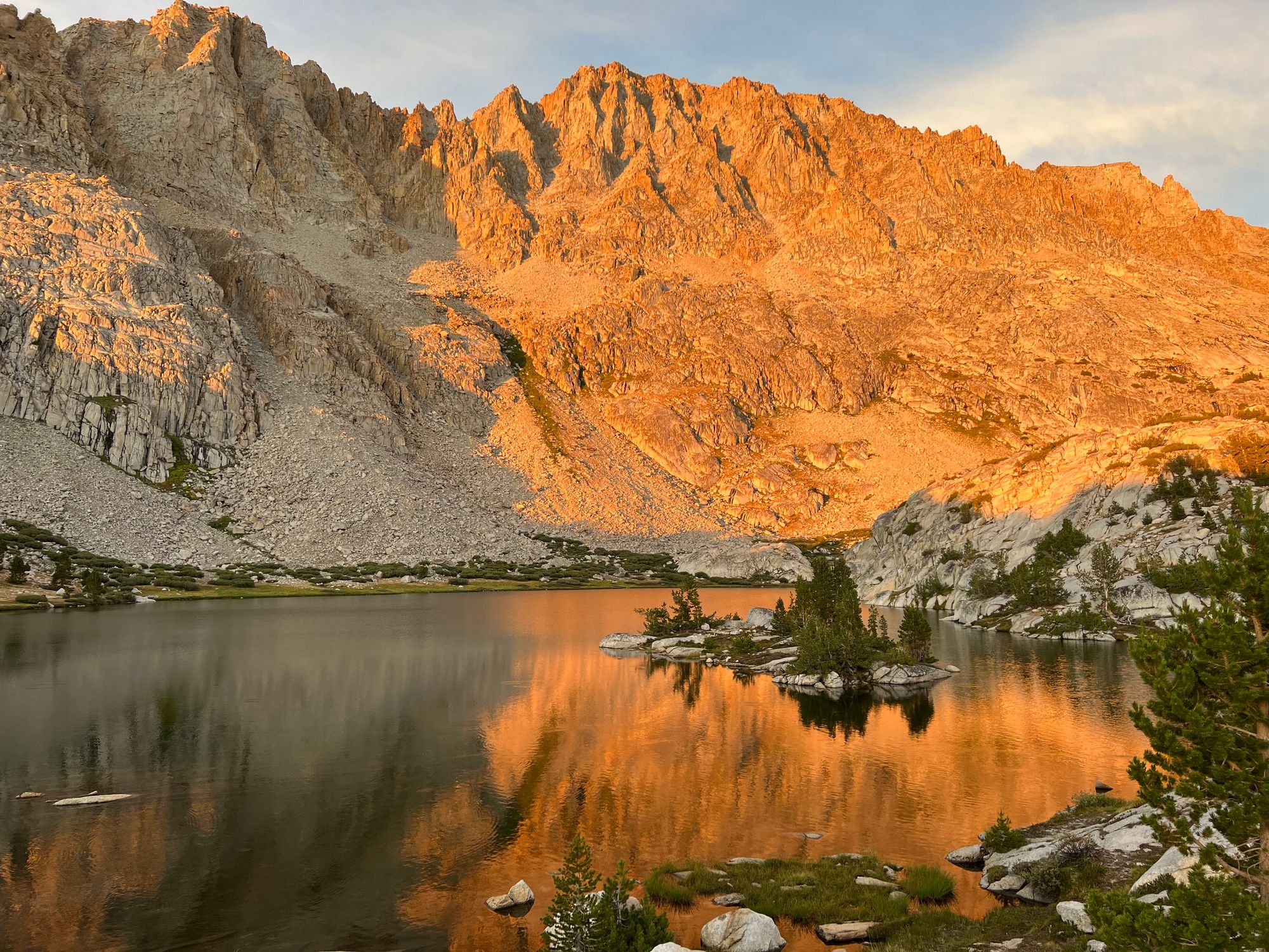
We set up camp just as the sun was about to set, putting on a spectacular alpenglow show for us. It had been a long day, almost 20 miles with 3,500 ft of elevation.
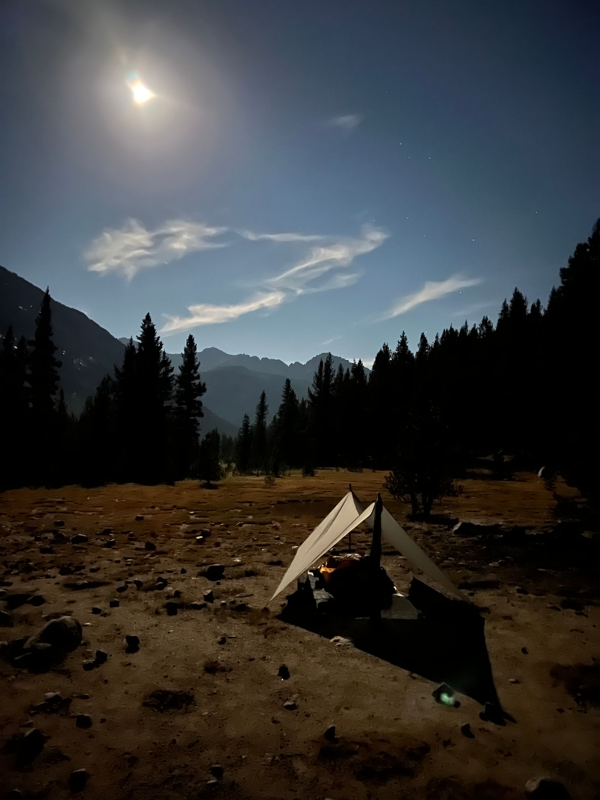
We ate dinner by headlamp in the dark. The moon decided to show up just as we went to bed, blinding us.
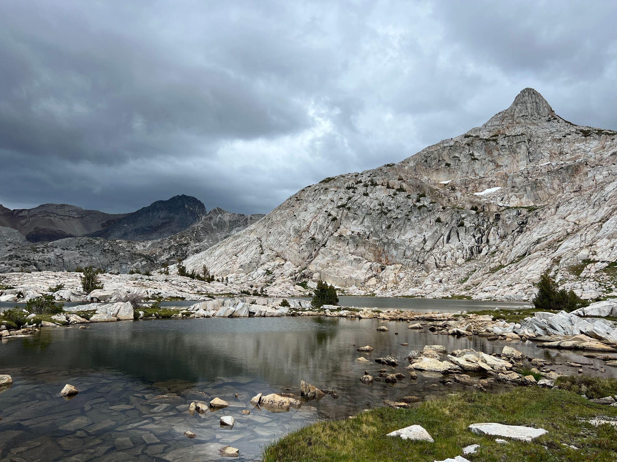
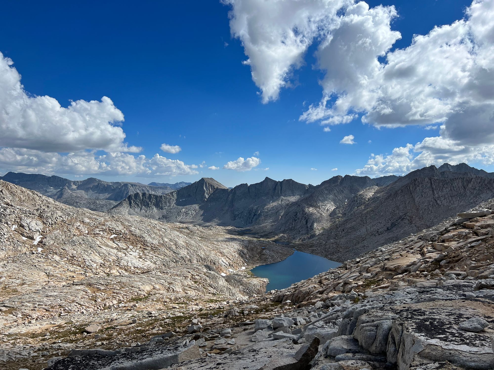
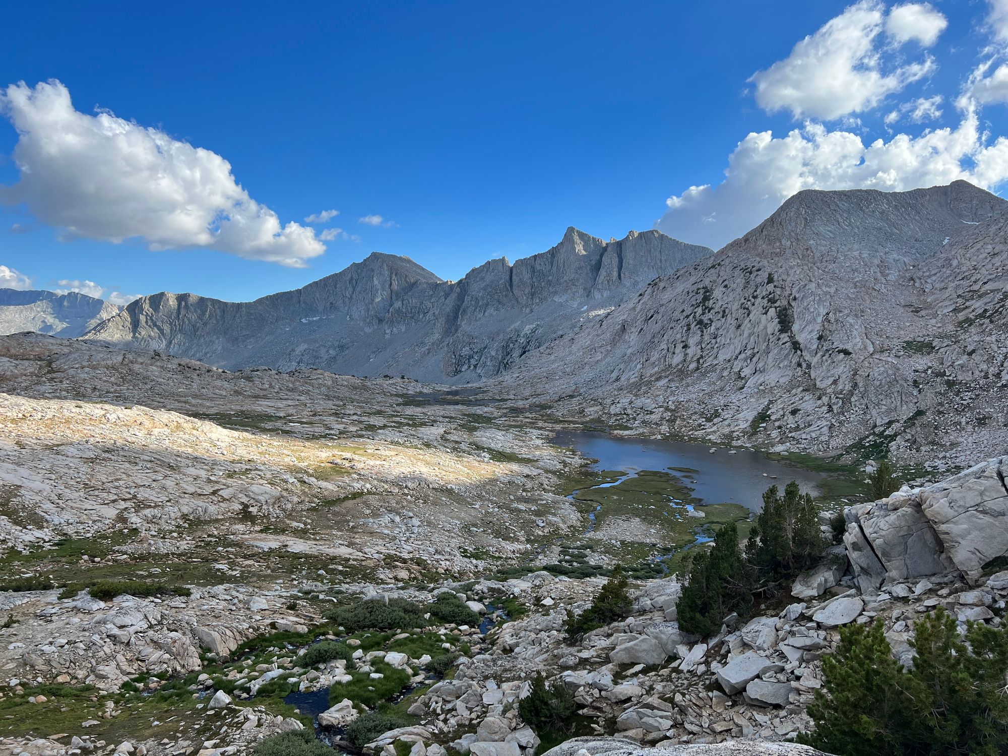
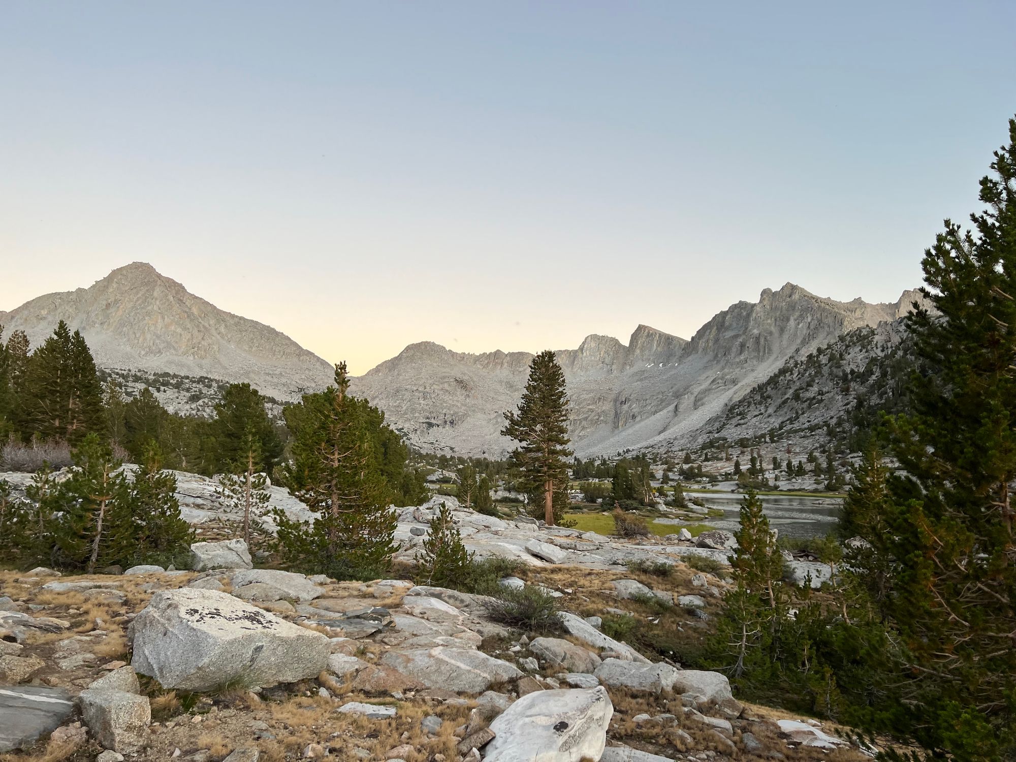
Evolution Lake to Dusy Basin
We decided to take it easy in the morning and spend some time fishing. But the fish seemed full from their feeding frenzy the night before because they weren't interested in anything we had to offer.
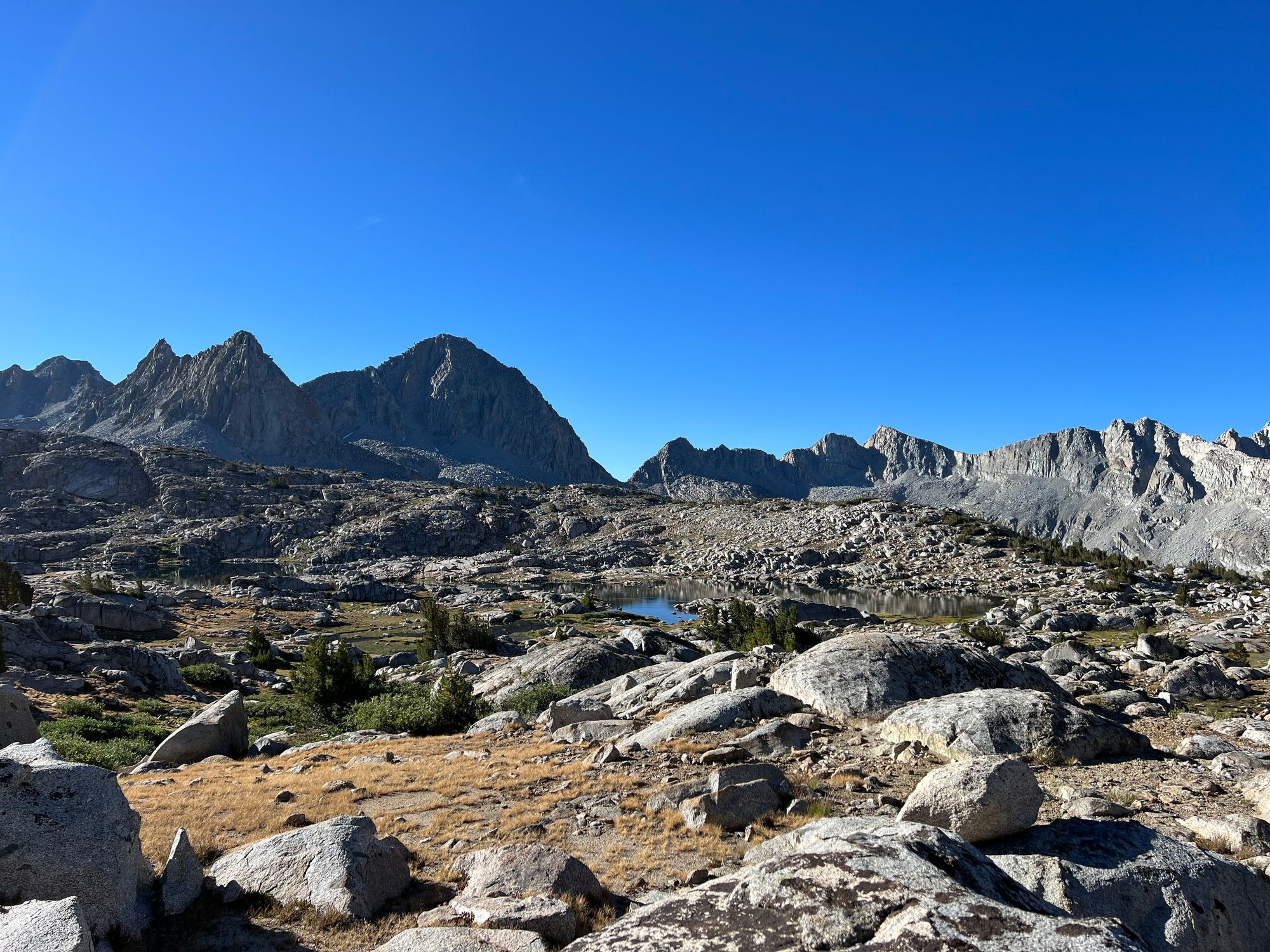
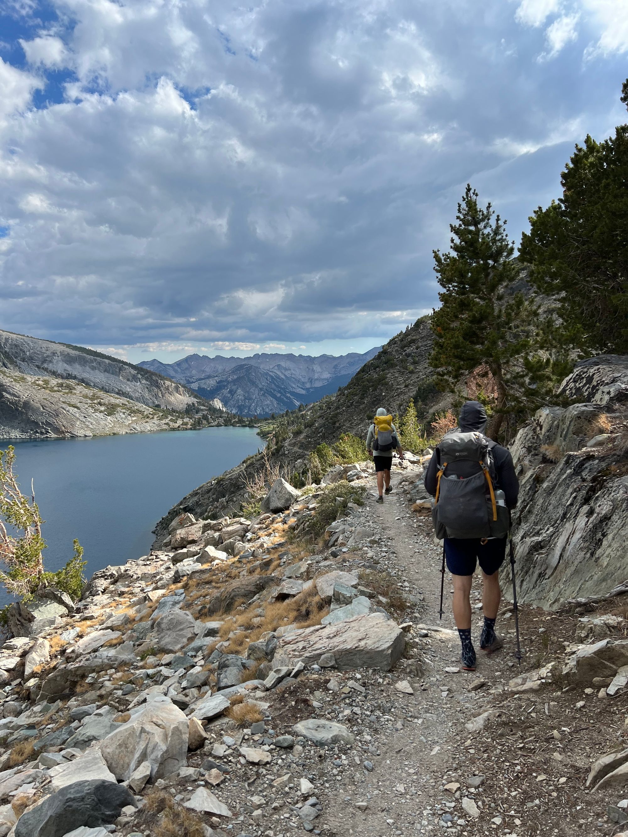
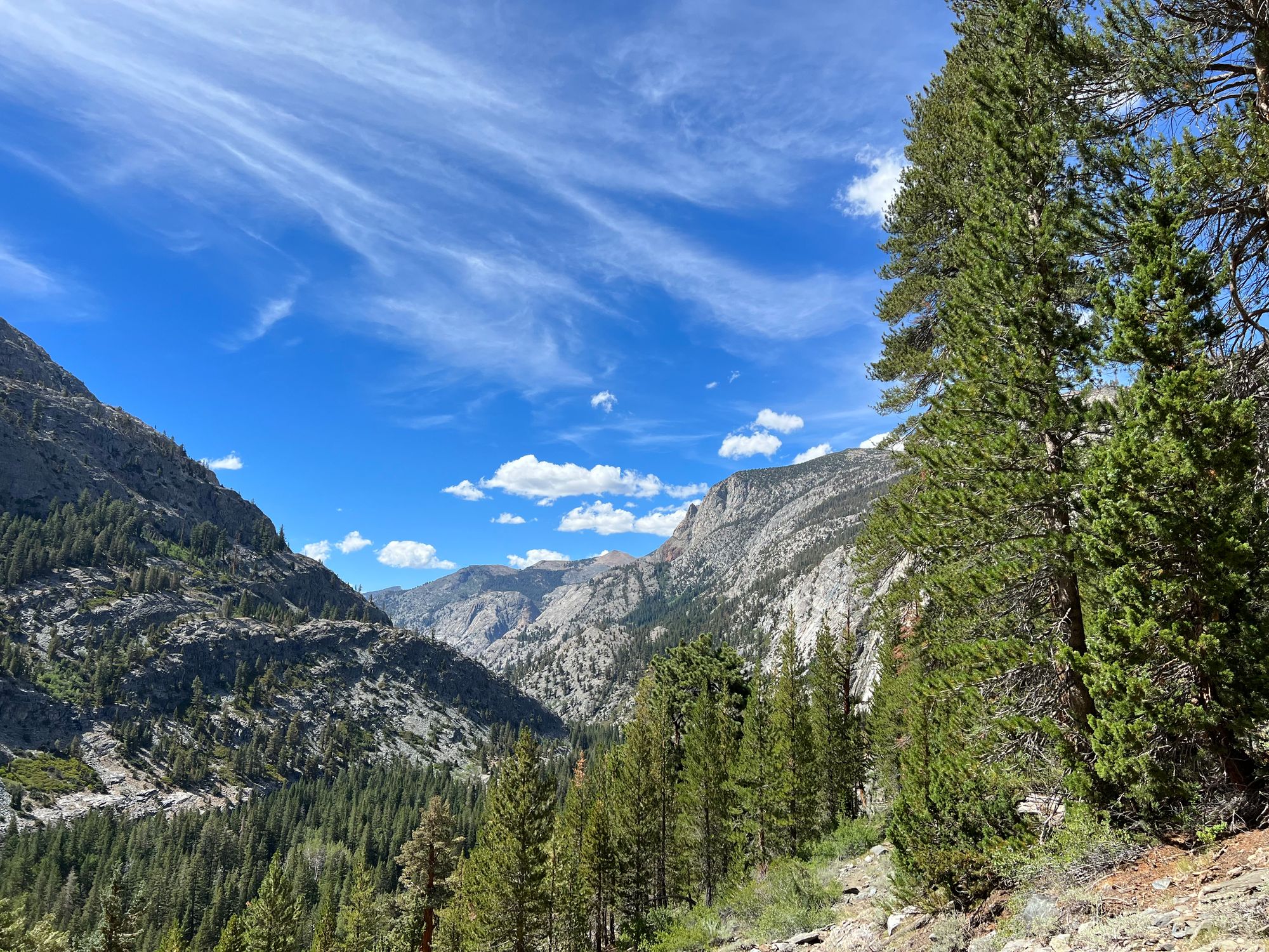
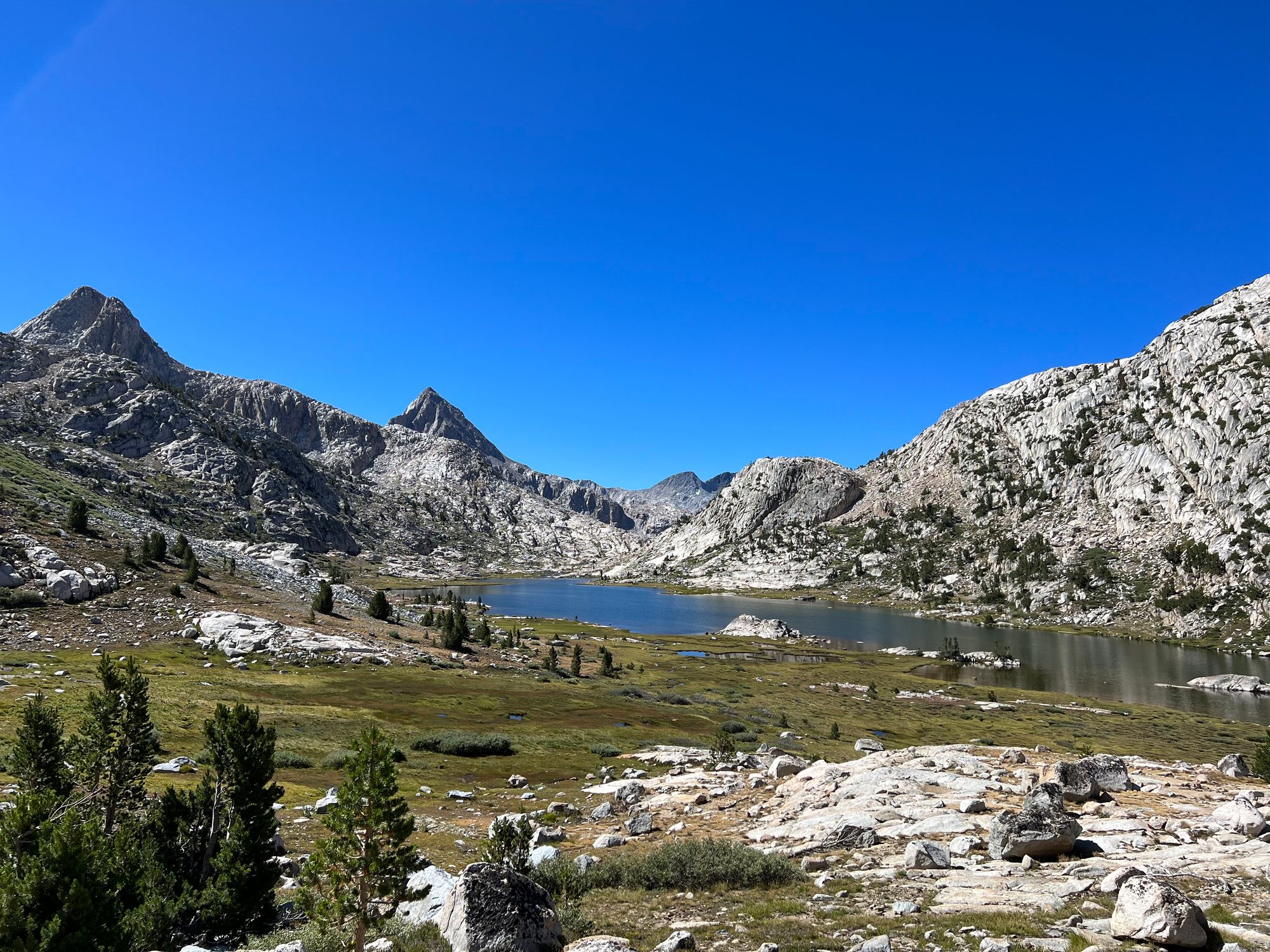
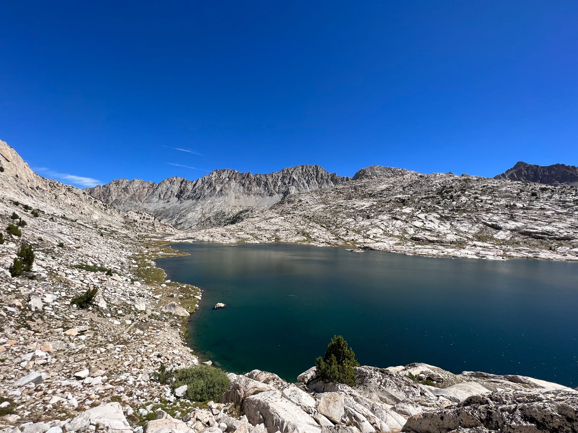
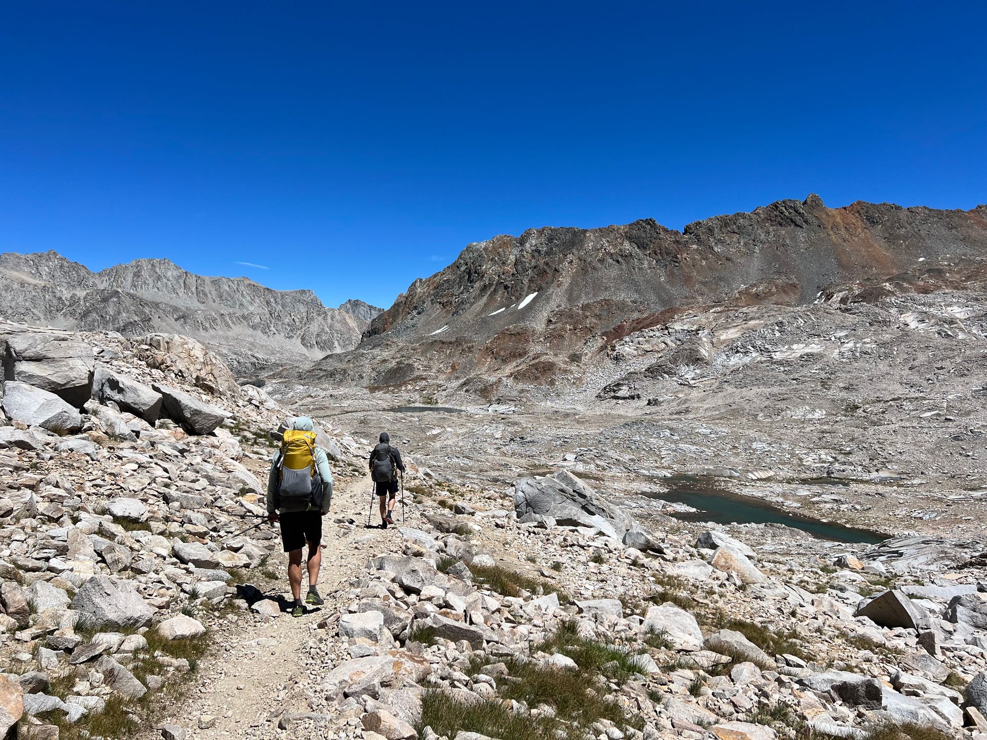
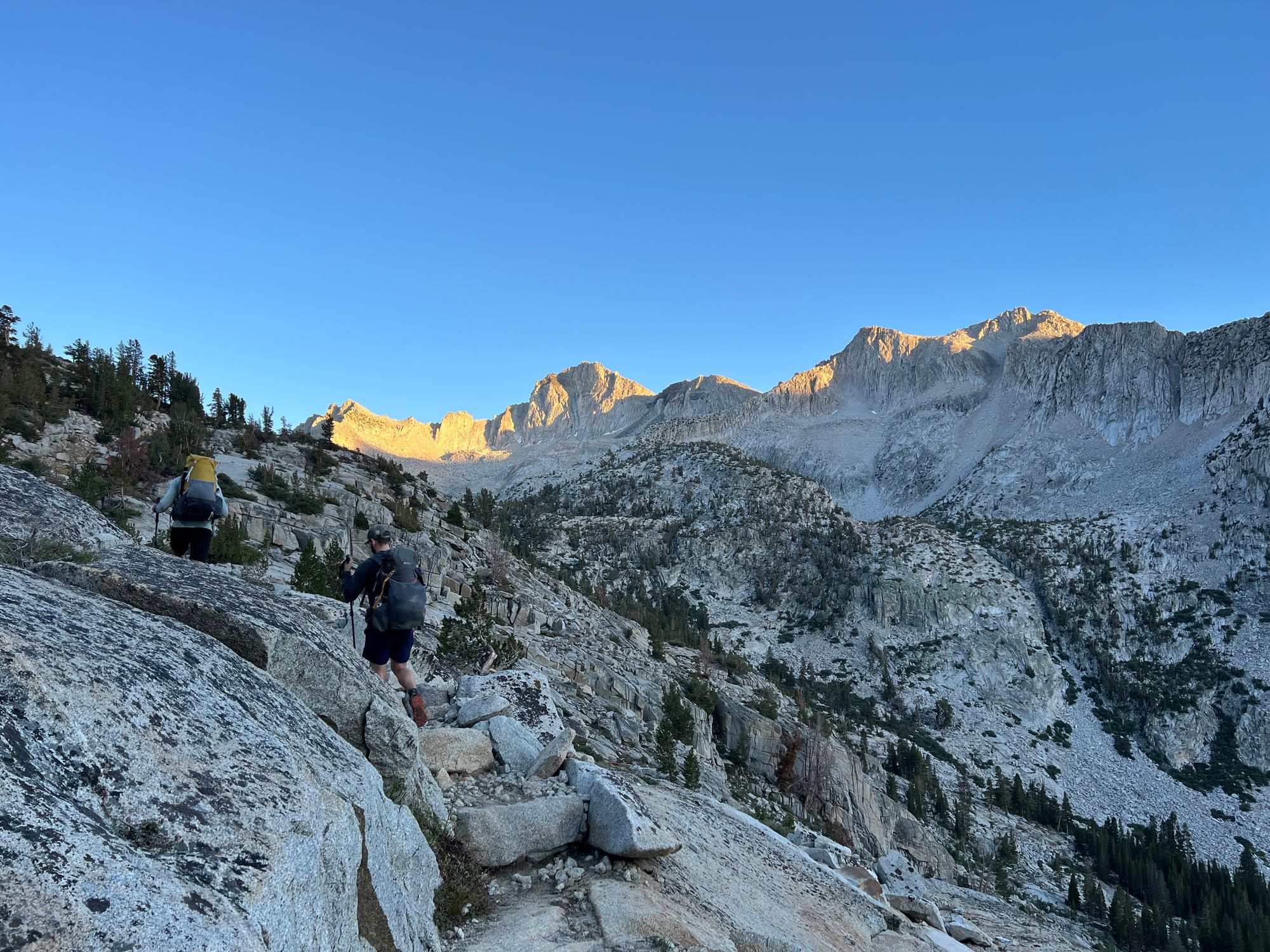
The first 6 miles of the day were a gentle uphill to Muir Pass. The trail passed several beautiful lakes, the landscape becoming more barren as we climbed.
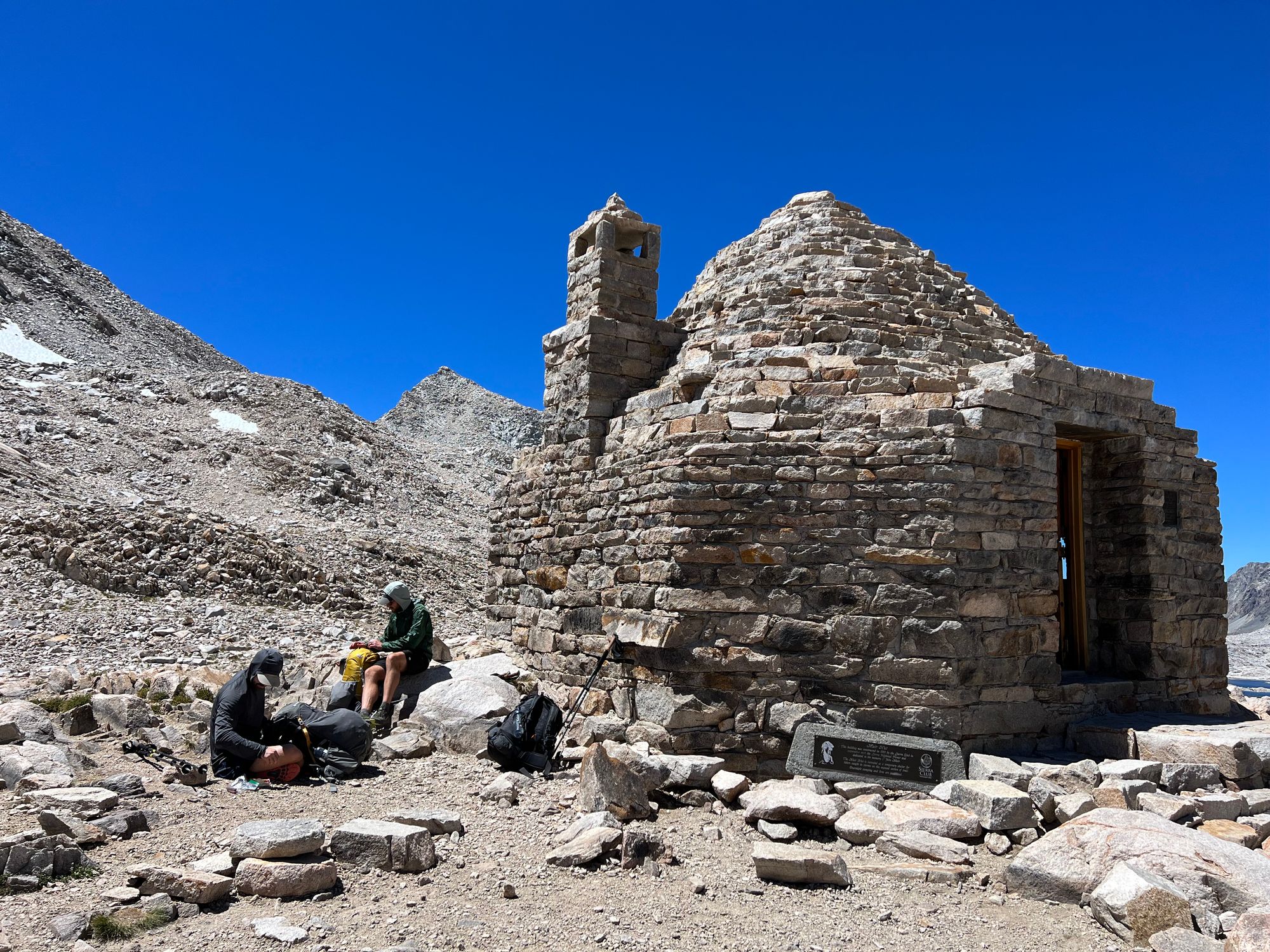
We enjoyed a leisurely lunch outside the Muir Hut on top of the pass. We met a northbound SHR hiker and shared some notes and experiences as we sipped our coffees.
The way down from Muir Pass felt endless. The rocky trail offered no escape from the sun, and the temperature was in the 80s. Finally, we took a break at the rock monster and dunked our sun hoodies in the creek to cool down.
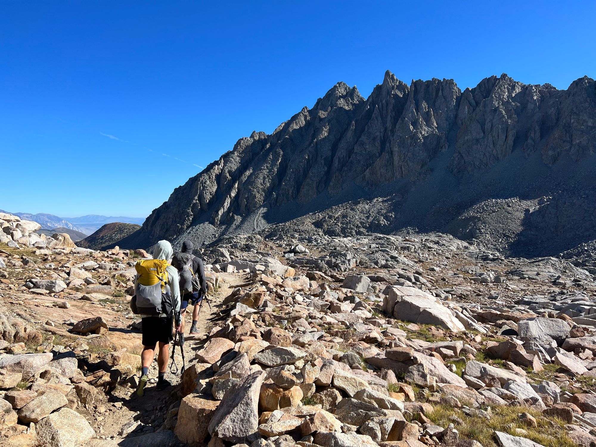
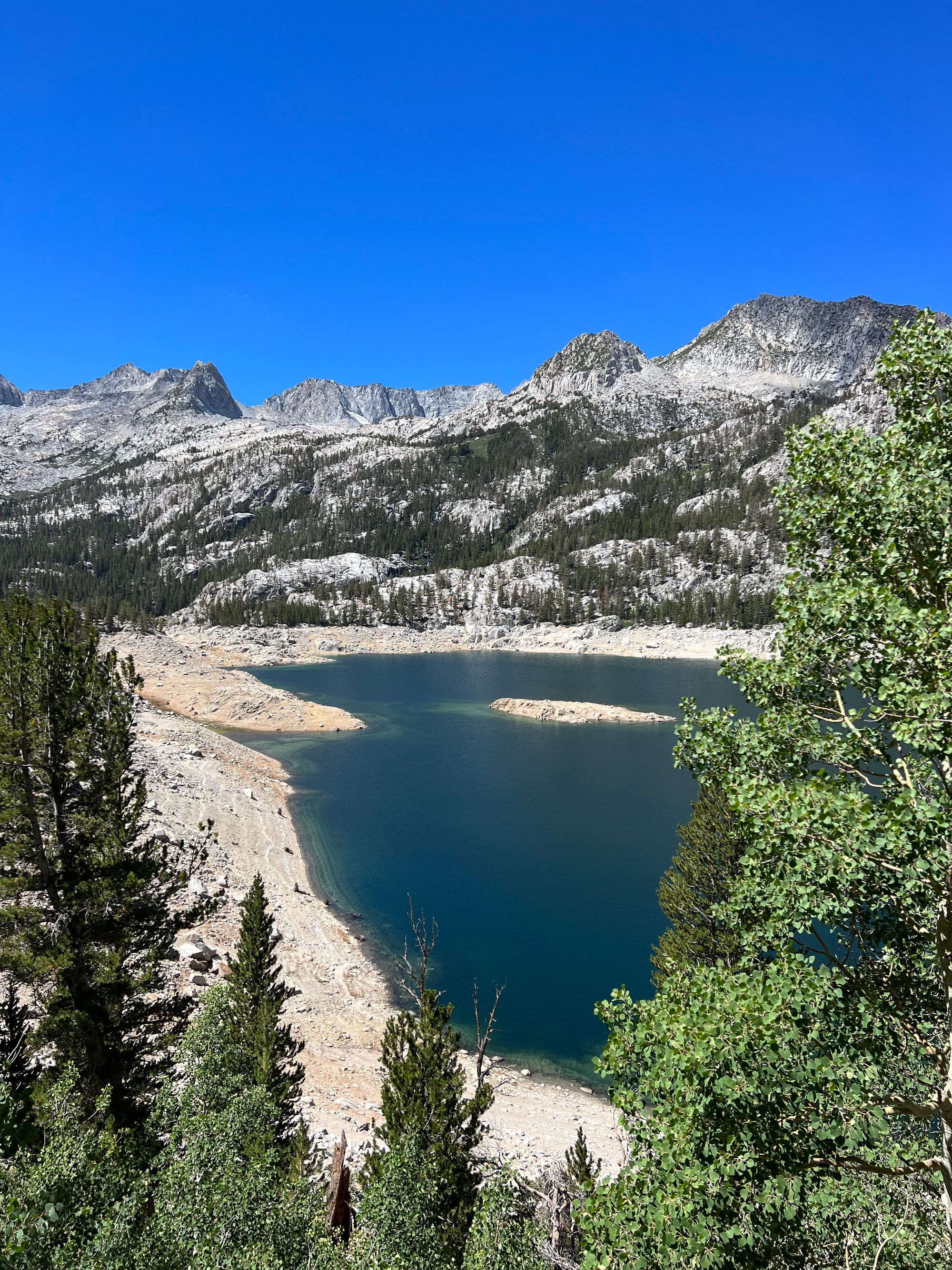
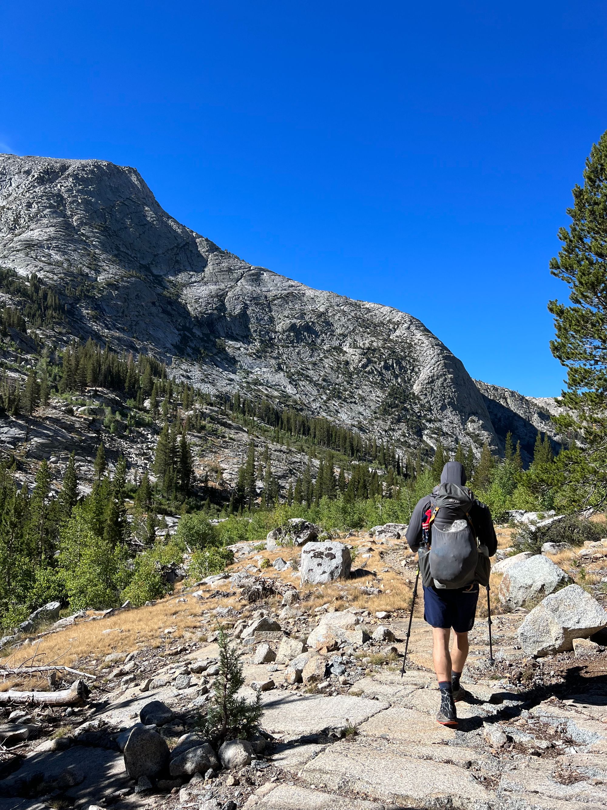
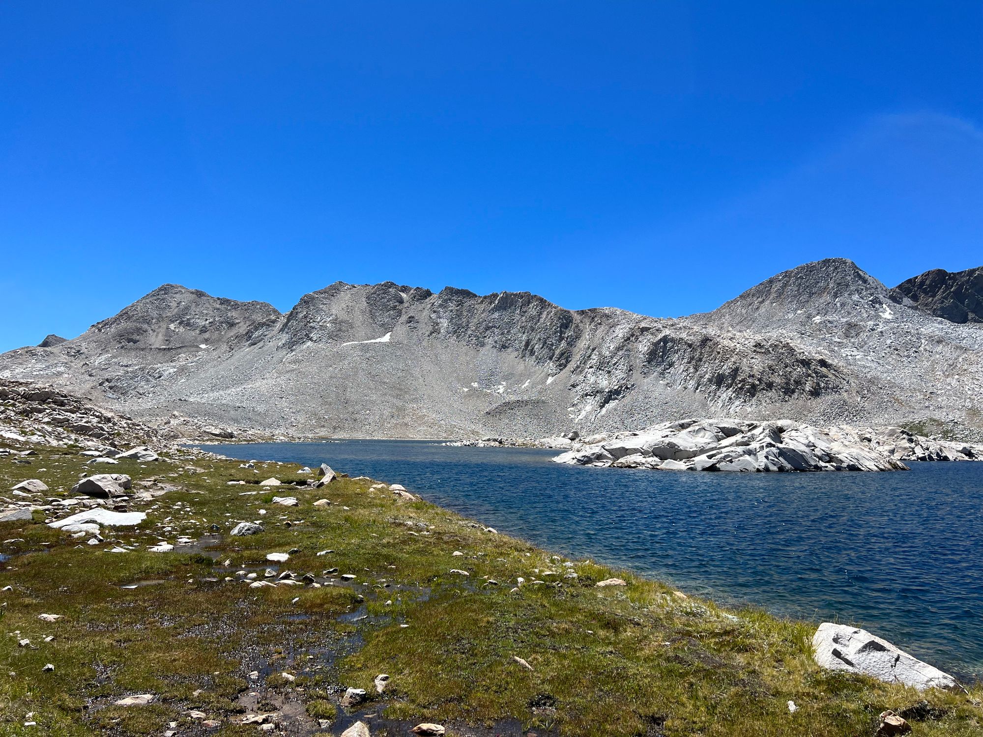
We had a big climb still ahead of us before the day was over. At the Le Conte ranger station, we left the JMT and started our way up toward Dusy Basin on the Bishop Pass trail. Fortunately, the air began to cool as the sun dipped behind the mountains. Hungry and determined to get to camp, we finished the 2,000 ft climb in under 2 hours.
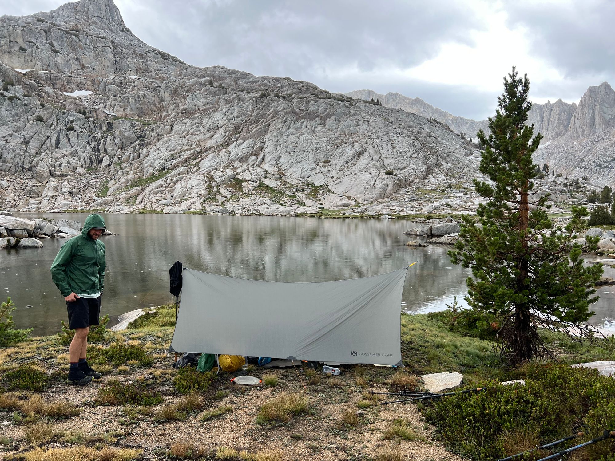
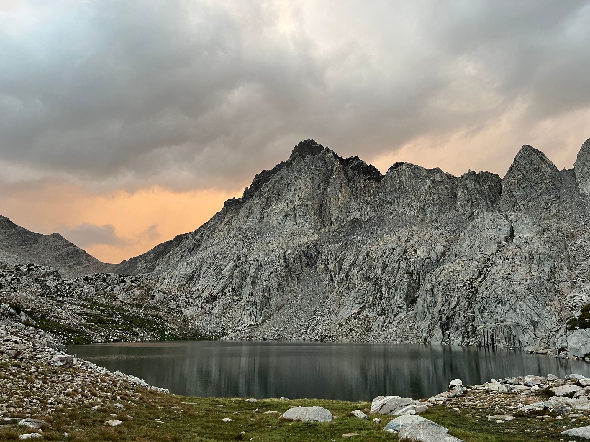
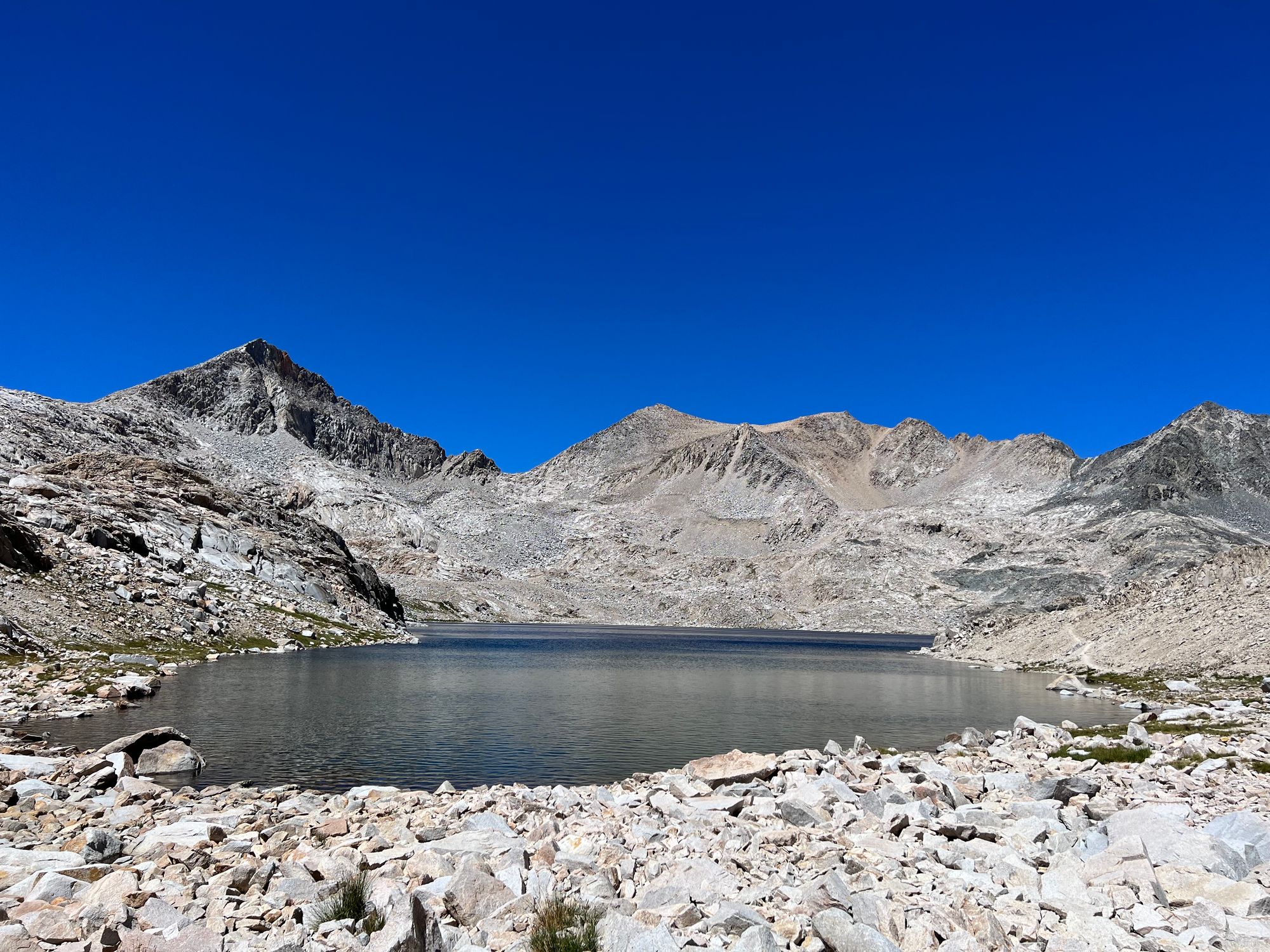
We camped at the first lake. It took us a while to find a spot, as several other groups had already camped at the lake. Once again, we had dinner by headlamp.
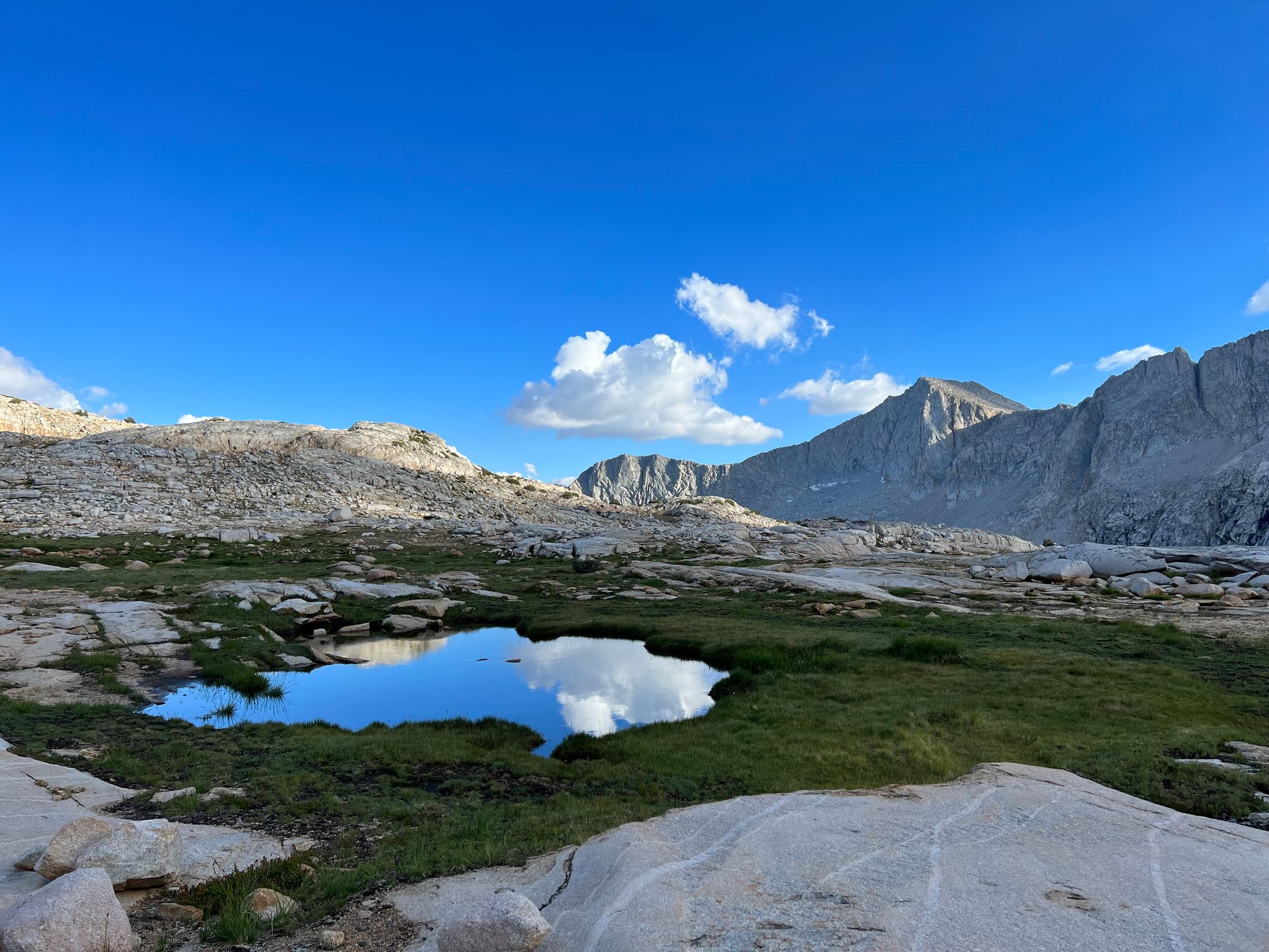
Dusy Basin to South Lake
We woke up early as we had a long day ahead of us. Our legs felt heavy after last night's climb but quickly began to warm up.
We made quick work of the remaining 1,500 ft to Bishop Pass, enjoying the morning sun glistening off all the small lakes in the basin. There was a crowd of people at the top of the pass, so we continued without stopping.
The final miles down to the trailhead were full of beautiful lakes, most teeming with fish. We stopped briefly to fill up on water at Saddlerock Lake, and I caught a good-sized brook trout.
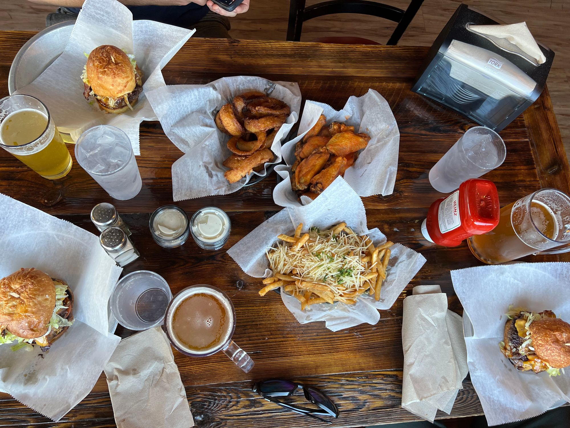
Finally, back at the car, we cleaned ourselves the best we could with wet wipes, changed into clean clothes, and headed straight down to Bishop for burgers and beers.
What a fantastic trip. Once again, we ended up adjusting our plans on the fly, but that's part of the adventure. The main thing is getting the chance to spend time in nature with good friends.