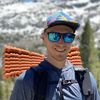
30-mile overnighter in California’s Emigrant Wilderness
Emigrant Wilderness offers great backpacking with fewer crowds than its southern neighbor Yosemite. This loop covers both volcanic and granite landscapes.
2020 has been a tough year for backpacking in California. Most parks and forests were closed in the early season due to COVID restrictions. After a short summer, the Californa fire season kicked in, forcing most Californians to stay home for almost two months because of unhealthy smoke levels.
As the smoke started clearing out, I began looking for potential backpacking destinations for a long weekend trip. I tried getting permits for Desolation, but they were canceled twice because of fire restrictions. Instead, I decided to head back to Emigrant Wilderness, this time to explore the northeastern parts.
Emigrant was closer to the Creek Fire but the wind forecast looked favorable with mostly northern winds that should push smoke away from me.
The extreme fire season meant that I couldn’t have any fire sources with me, not even a gas stove. Fortunately, temperatures forecasts were predicting above-freezing night temperatures.
A long climb from Kennedy Meadow to High Emigrant Lake
Having started my drive well before dawn, I arrived at the trailhead just after nine in the morning. The smoke was terrible when I took a bathroom break in Sonora, but by the time I got to Kennedy Meadows, there was nothing but clear blue sky.
The day’s plan was to hike up Kennedy Creek up to Kennedy Lake and spend some time fishing there.
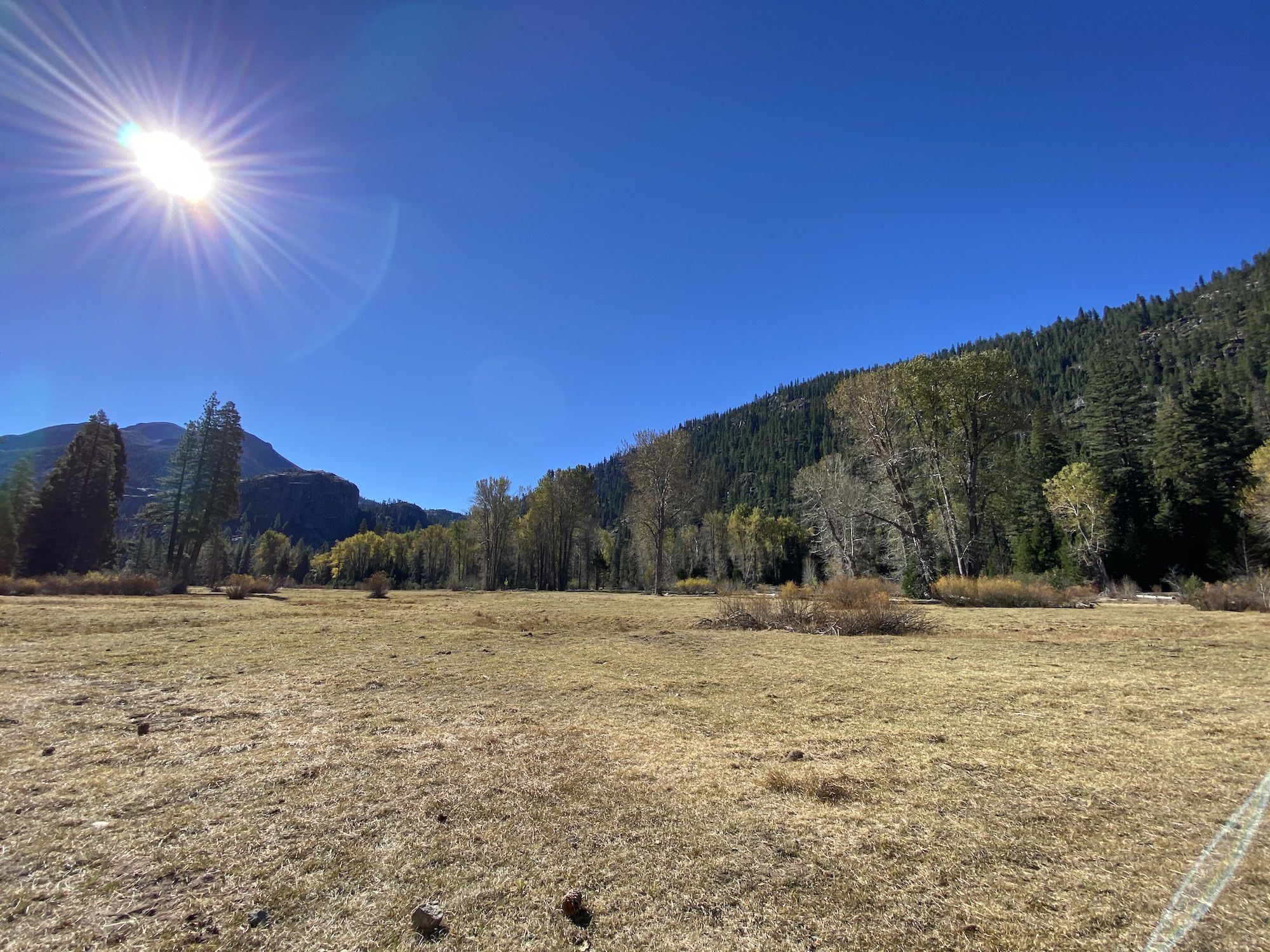
The parking lot is outside the resort area. The first two miles are along a dirt road through the resort and their meadows. The ranch had recently spread manure over the fields, which provided an eye-watering aroma to go along the beautiful views.
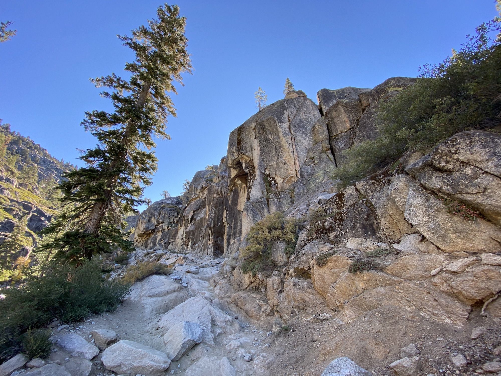
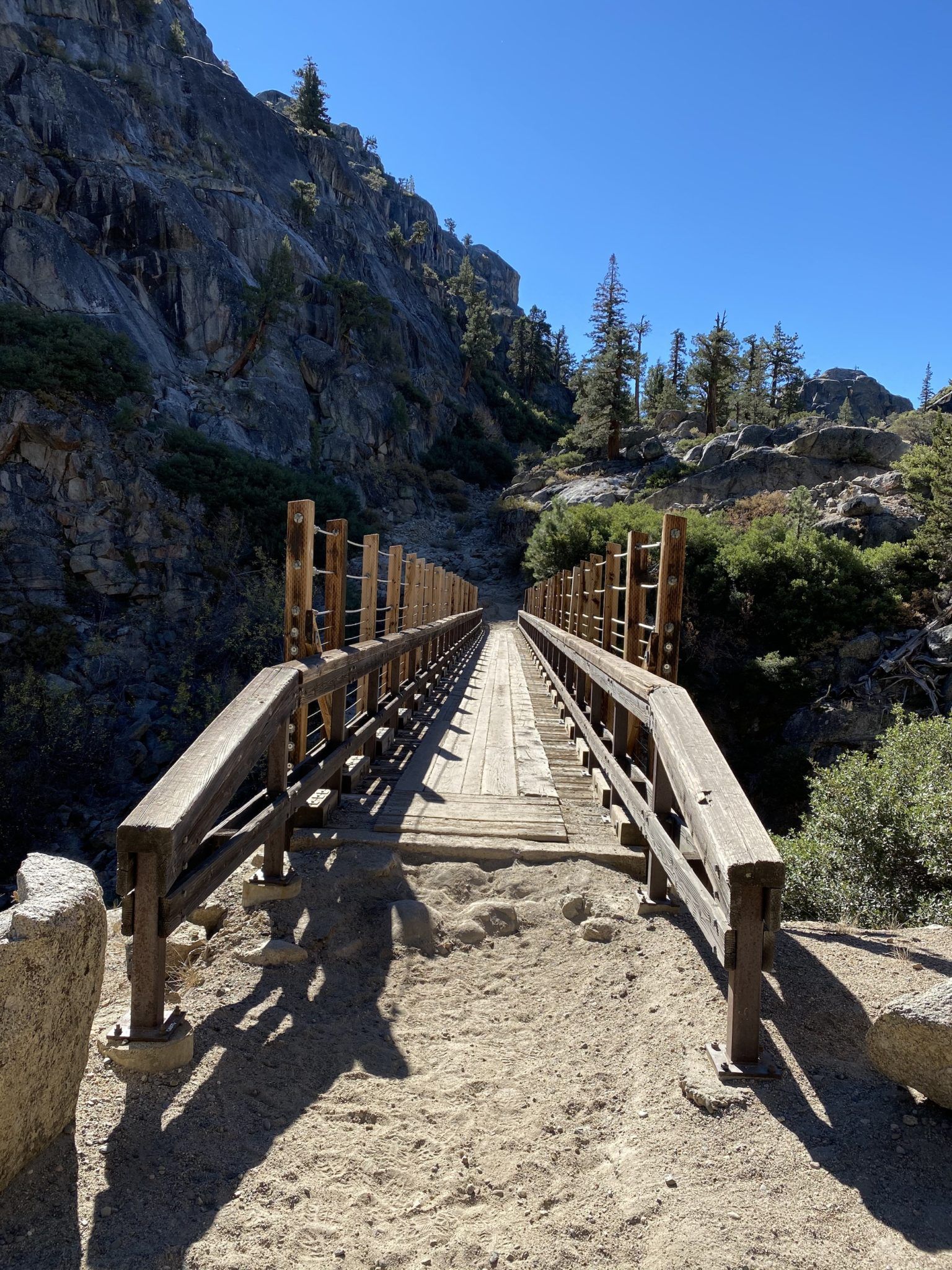
Once I entered the Emigrant Wilderness, the trail began to climb along the Middle Fork Stanislaus River in an ever-narrowing canyon. The climb was moderate, and two bridges made crossing the river a breeze.
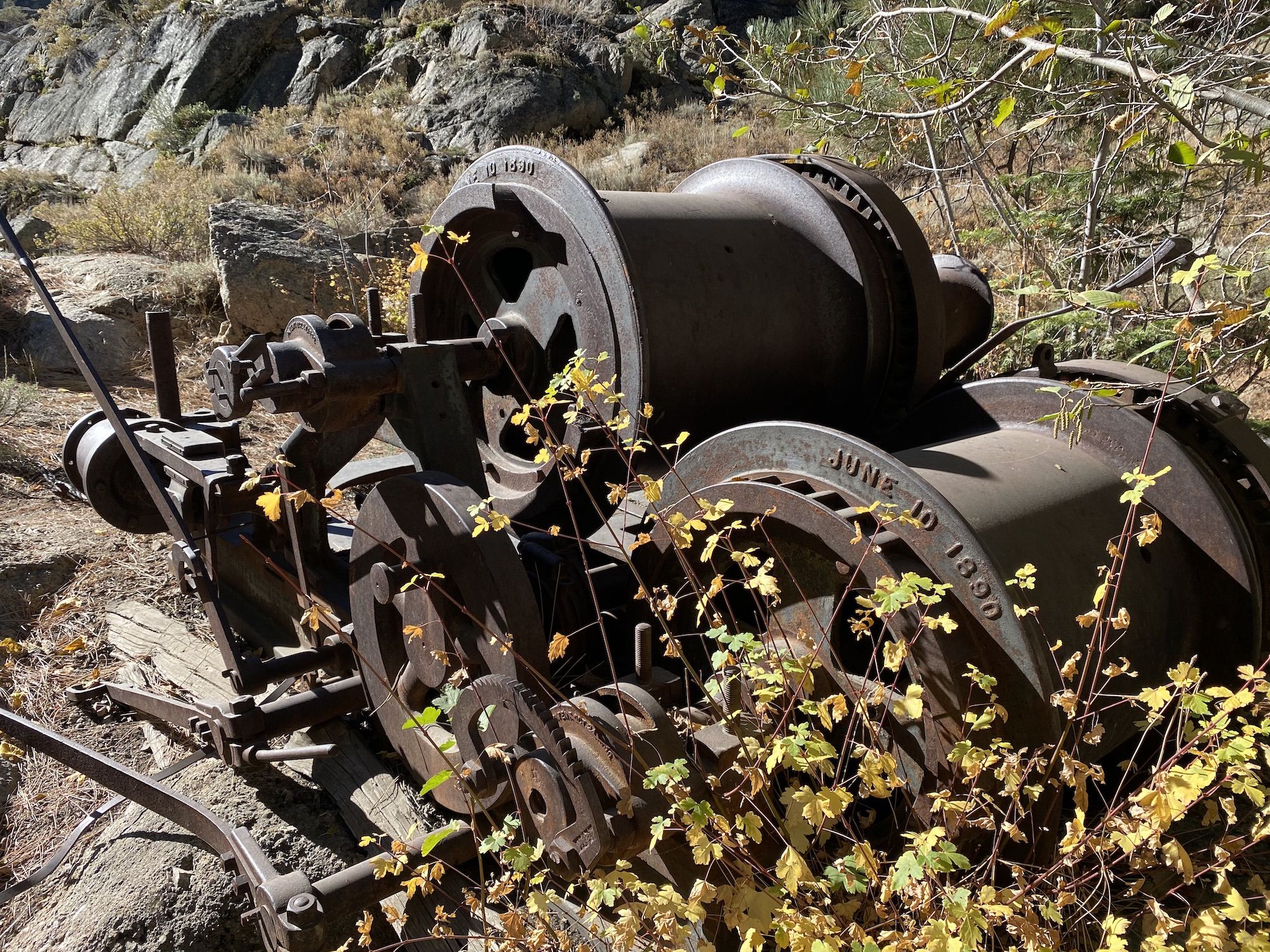
Heavy old mining equipment along the trail hinted towards its gold rush past.
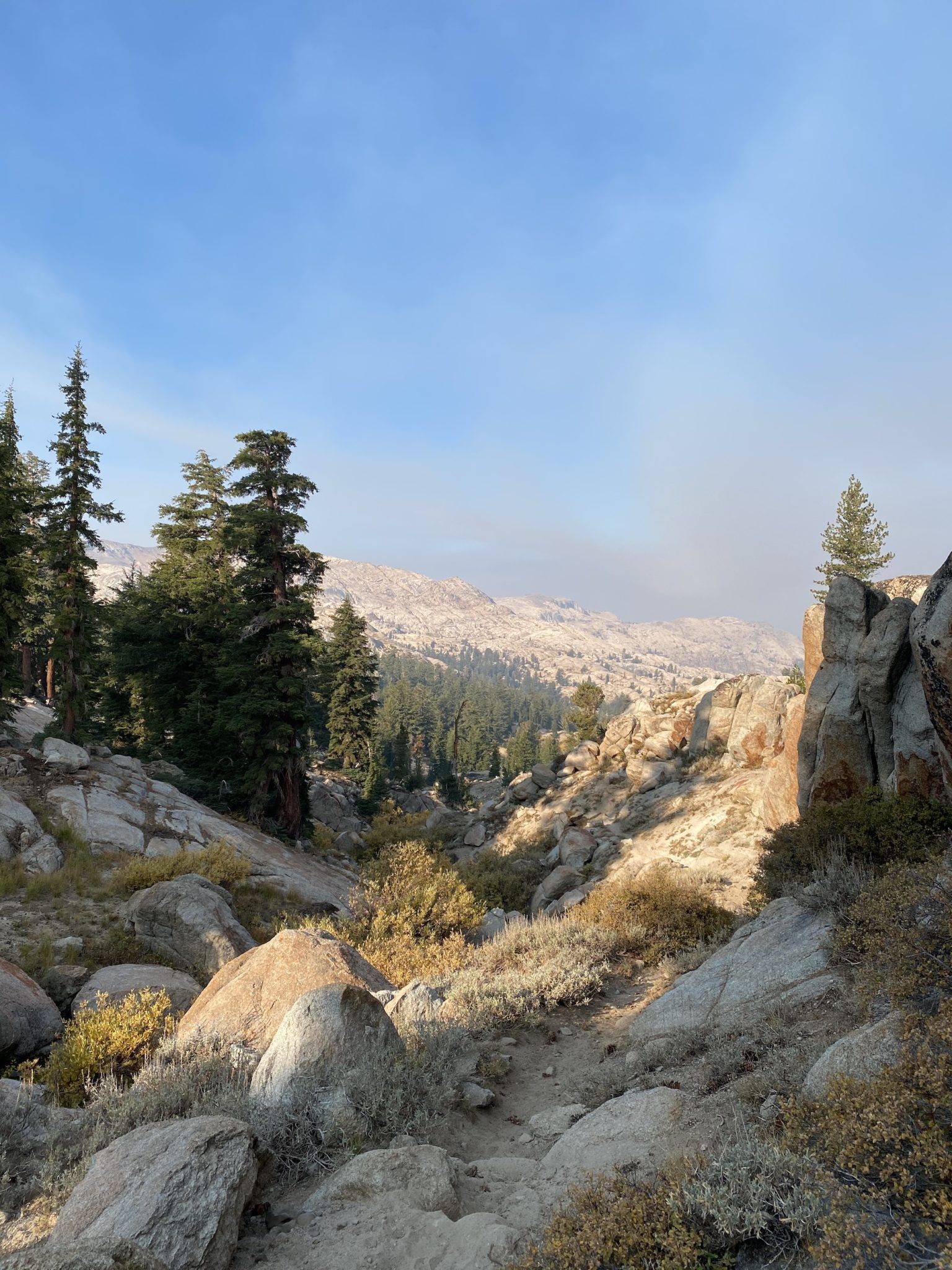
The trail up to Kennedy Lake splits off just before Relief Reservoir. Continuing up along the path, I soon came to a beautiful overlook of the valley below and decided to stop for lunch.
Having enjoyed my cold lunch consisting of a bagel with cream cheese and some salami, I continued toward the lake and some fishing.
After a while, the sparse forest started giving way to open meadows. It was clear that the fields had been used as pasture land until very recently based on the manure and flies everywhere.
At times, the trail was difficult to follow through the meadow because of the cattle paths crisscrossing the pasture. But it didn’t matter much. The open landscape made it easy to stay on course.
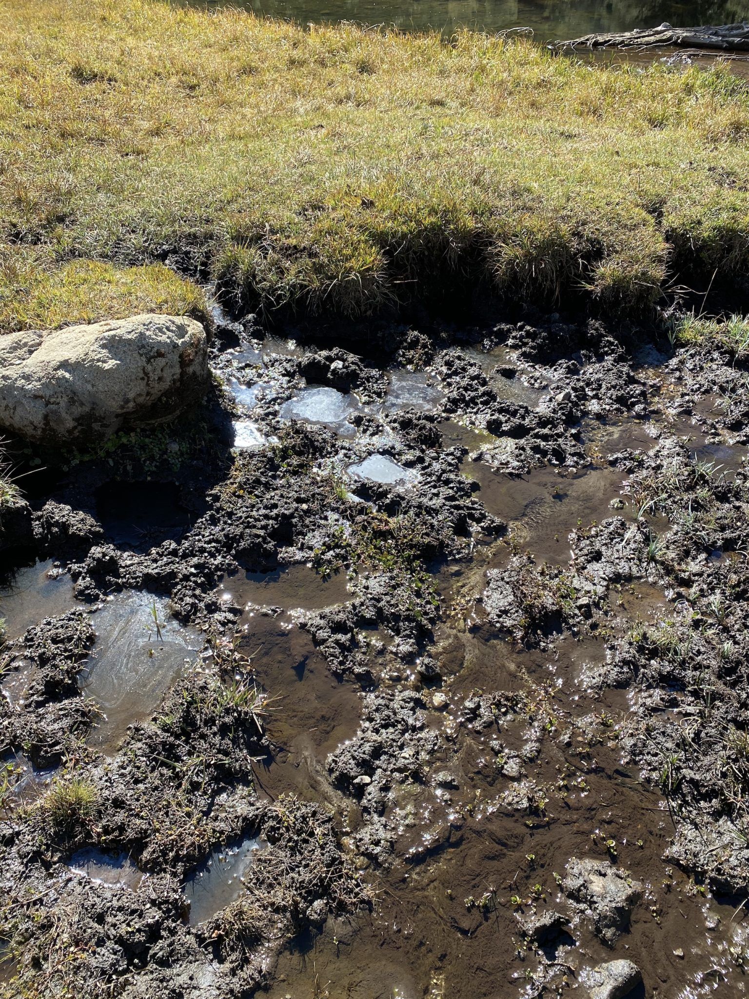
I reached Kennedy Lake early in the afternoon. It wasn’t exactly what I had hoped. This late in a dry season, the water was low and blooming with algae from the cow dung runoff.
The poor fishing prospects made me reconsider my plan. When I couldn’t find a camping spot that wasn’t covered in cow poop, I decided to keep going.
The challenge was that the next potential campsite was 7 miles and 3,000 ft away. Undeterred, I shoved some carbs into my mouth hole and got going.
The trail that continues from the lake along Kennedy Creek isn’t marked on most newer maps, and it was clearly much less traveled. And it was steep, especially the first mile.
I lost the faint trail several times in the forest, but the topography and creek made it easy to stay on the right course.
I crossed the creek and began crossing a windswept talus field. Suddenly, the small trail I followed joined another path that was wide enough to be a dirt road.
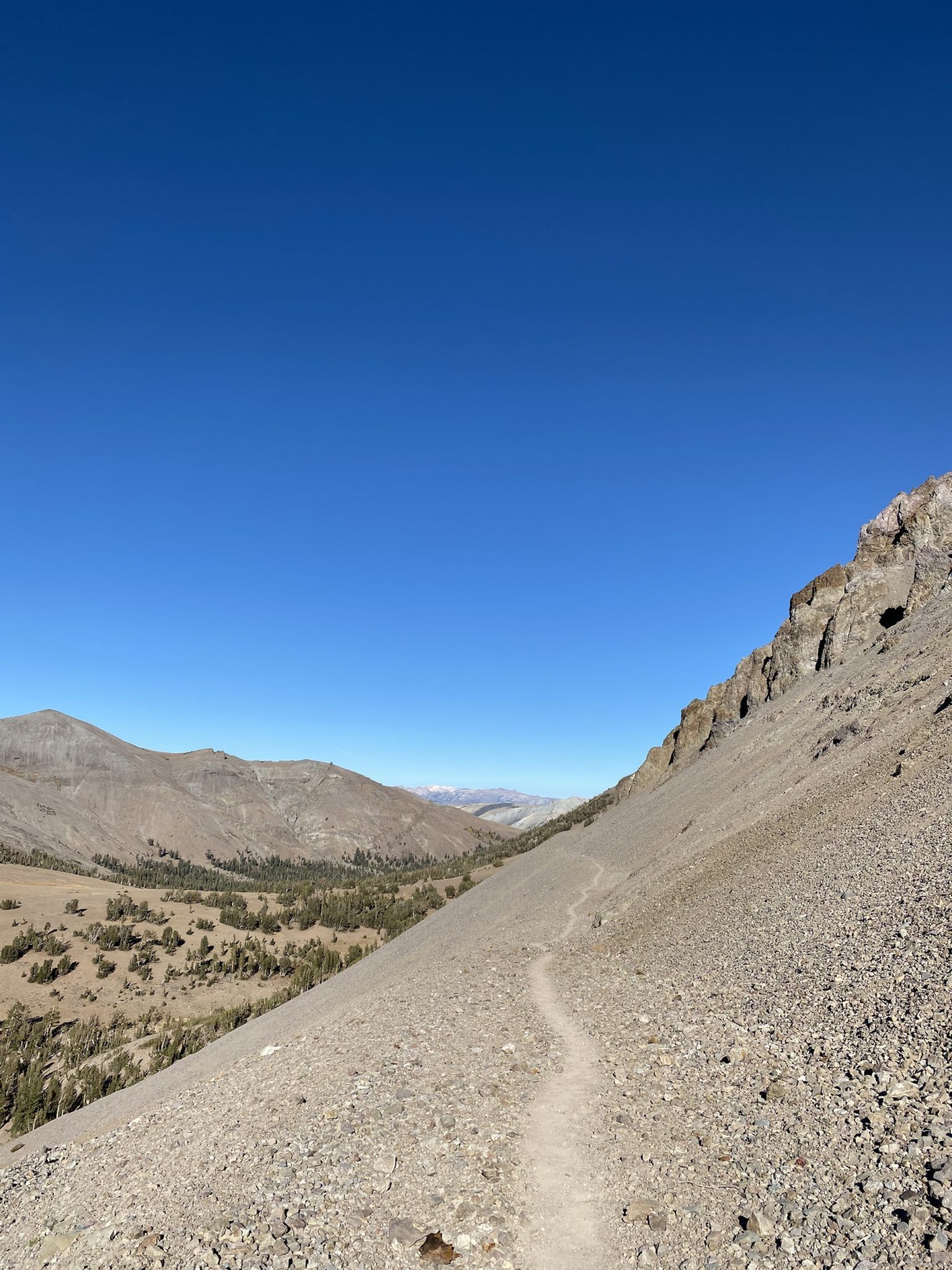
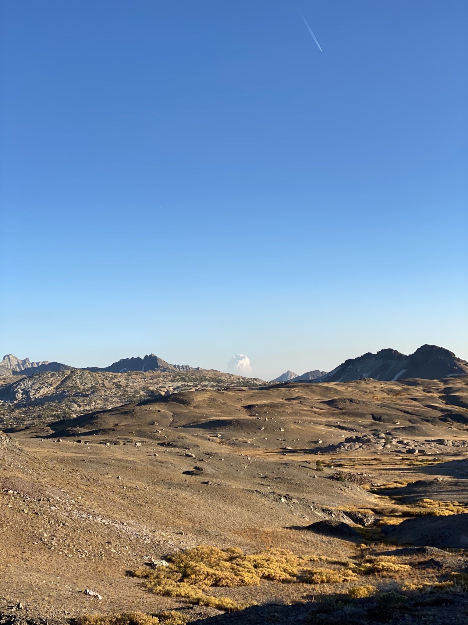
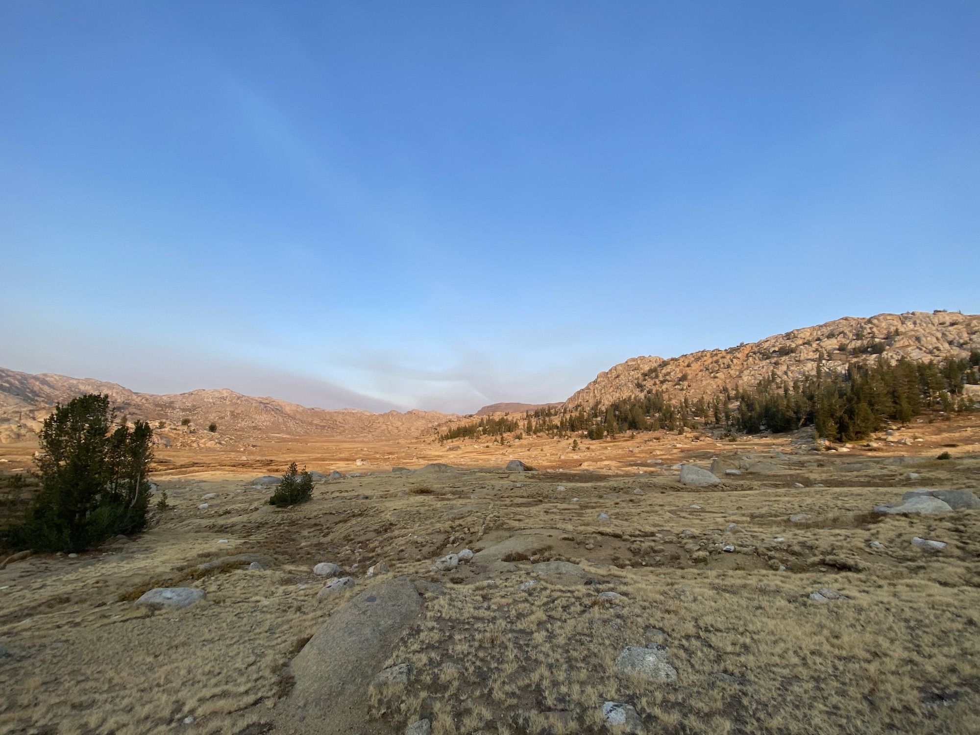
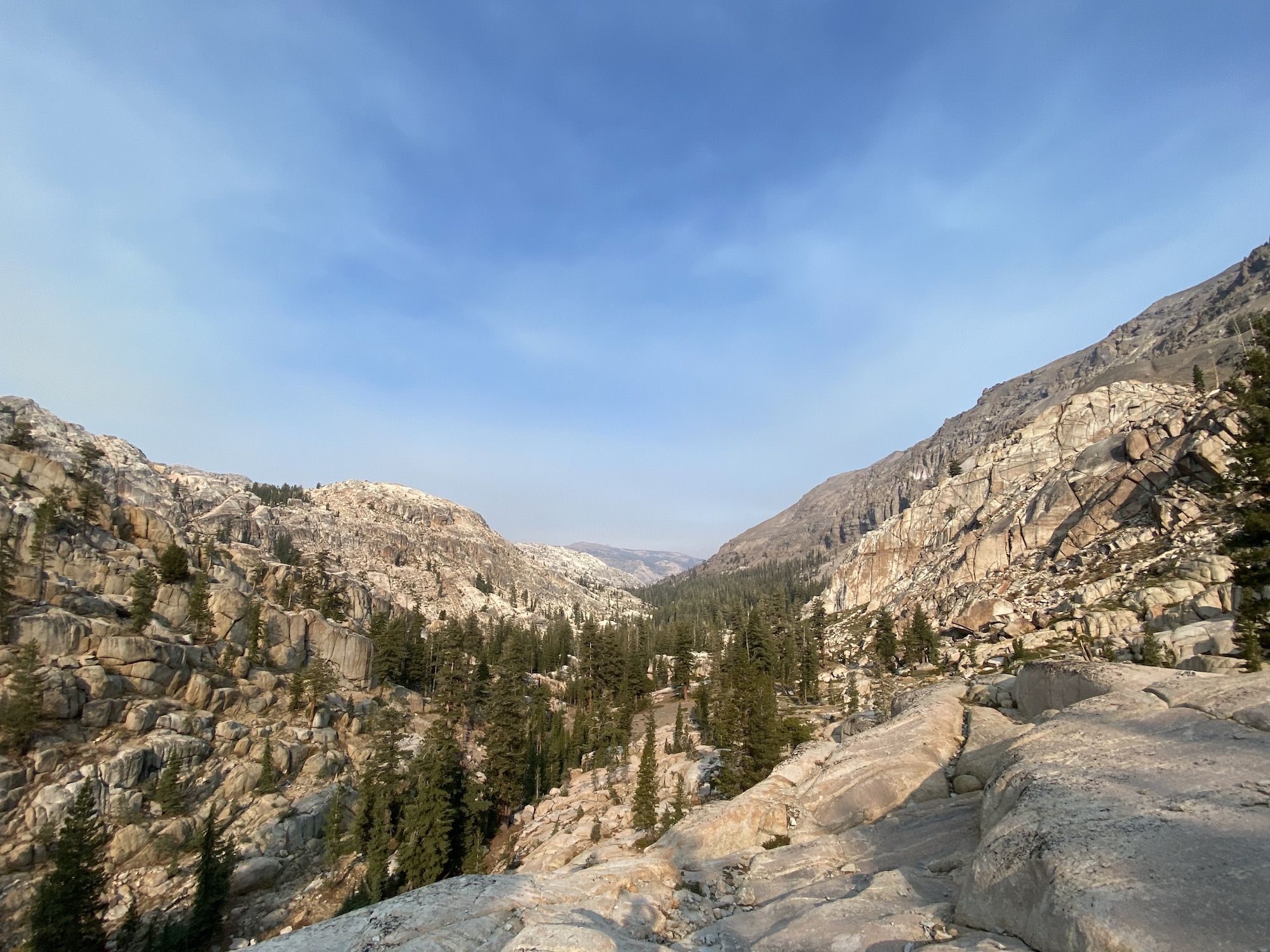
The landscape changed drastically as I continued along the dirt road. The ground was dark volcanic soil with a few stunted pines here and there.
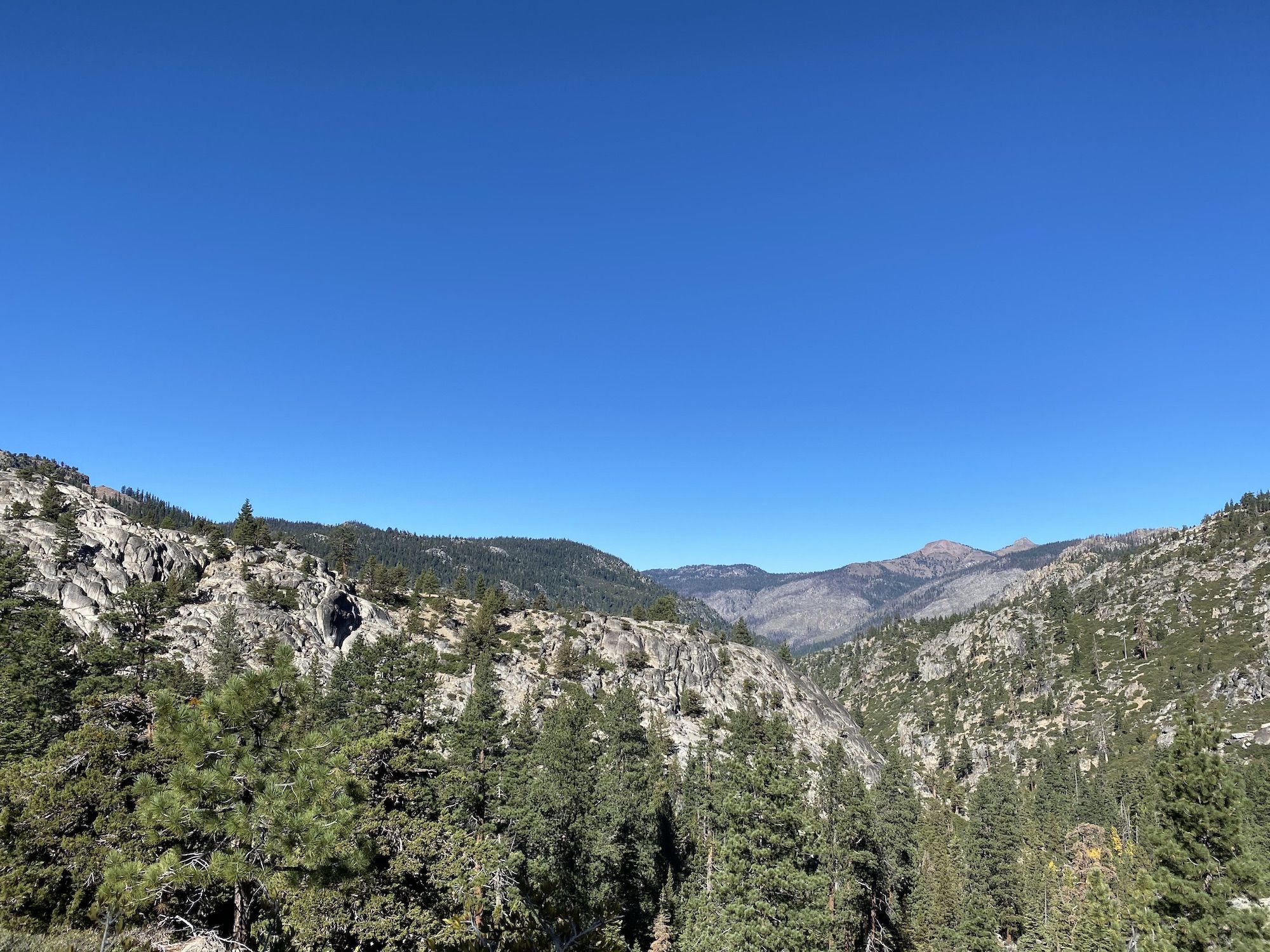
From the crest of the climb, I had expansive views to the east and south. I could see a massive pyrocumulus cloud in the distance, presumably from the Creek Fire. Fortunately, the smoke was staying away.

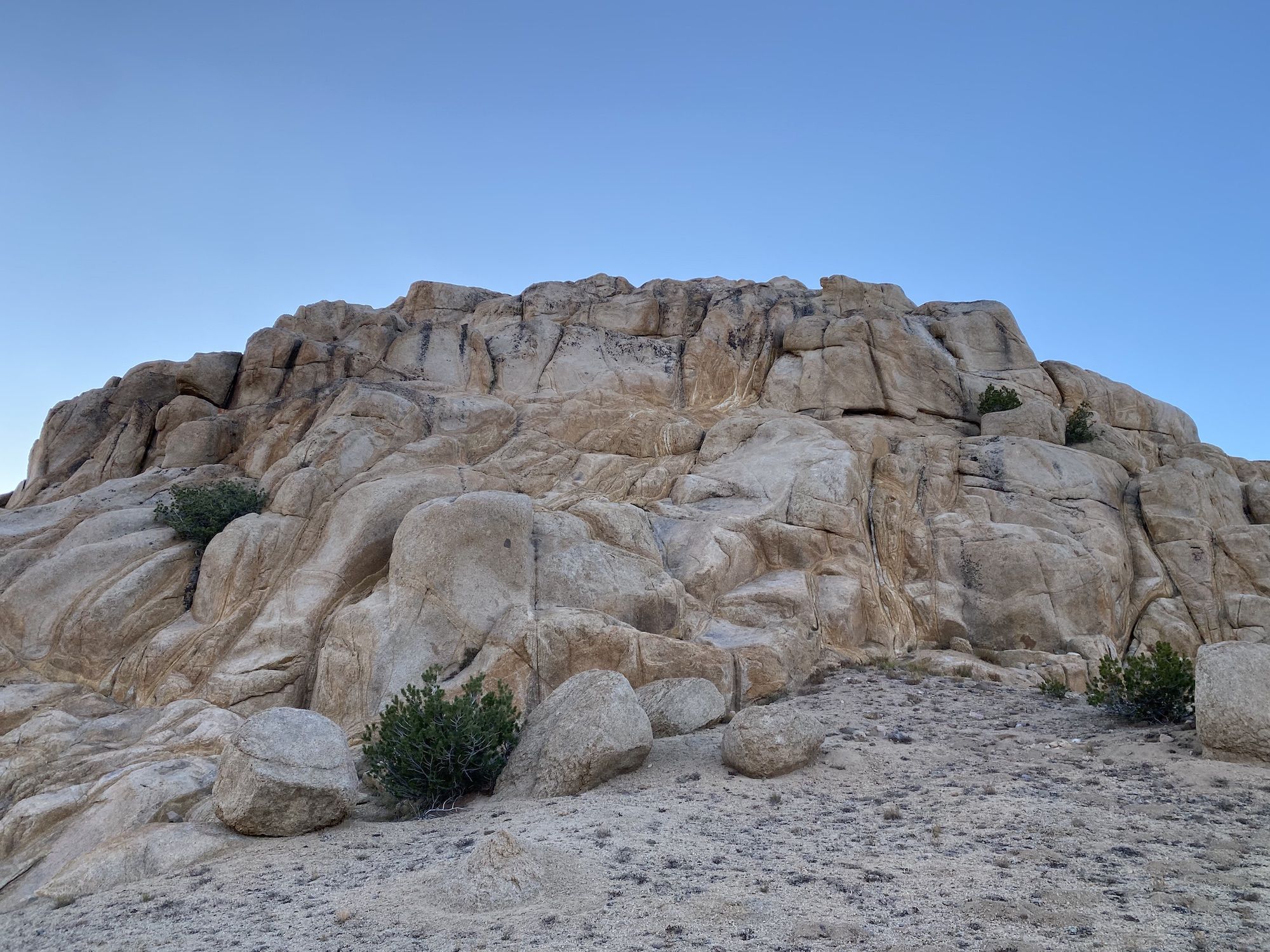
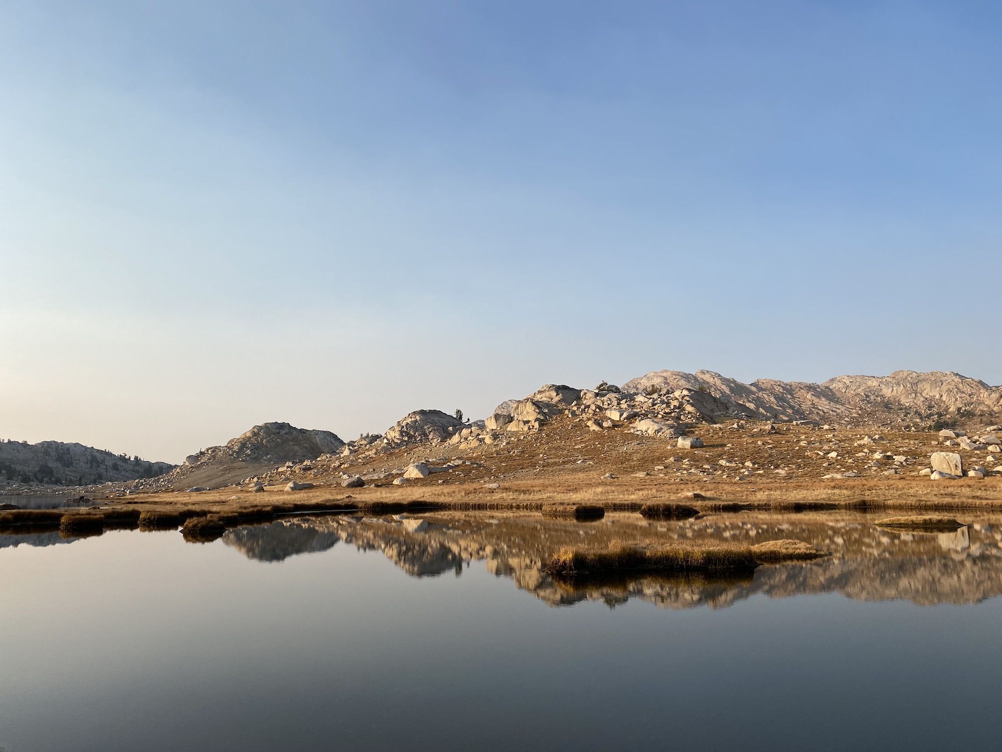
As the sun began to set, the wind started picking up. I set up camp on a small flat spot nestled between a massive granite boulder and a pine tree grove. I listened to the wind blowing through the pine needles as I ate a couple of tuna wraps for dinner and watched the sun paint the horizon orange.
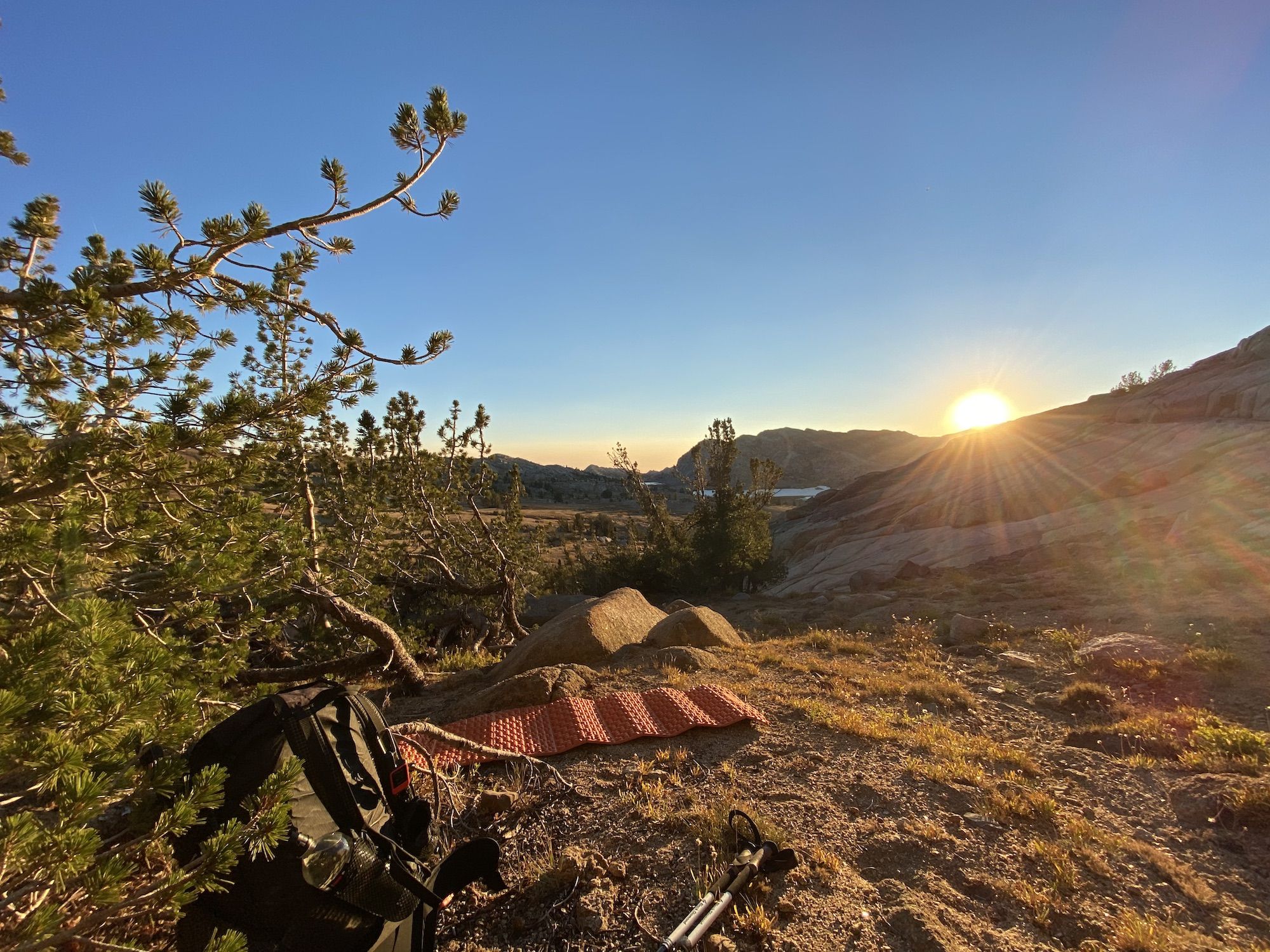
The long fall nights make for some spectacular stargazing. I stayed up for a good while, lying in my sleeping bag, listening to an audiobook, and watching shooting stars cross the milky way.
High Emigrant Lake to Kennedy Meadow along Summit Creek
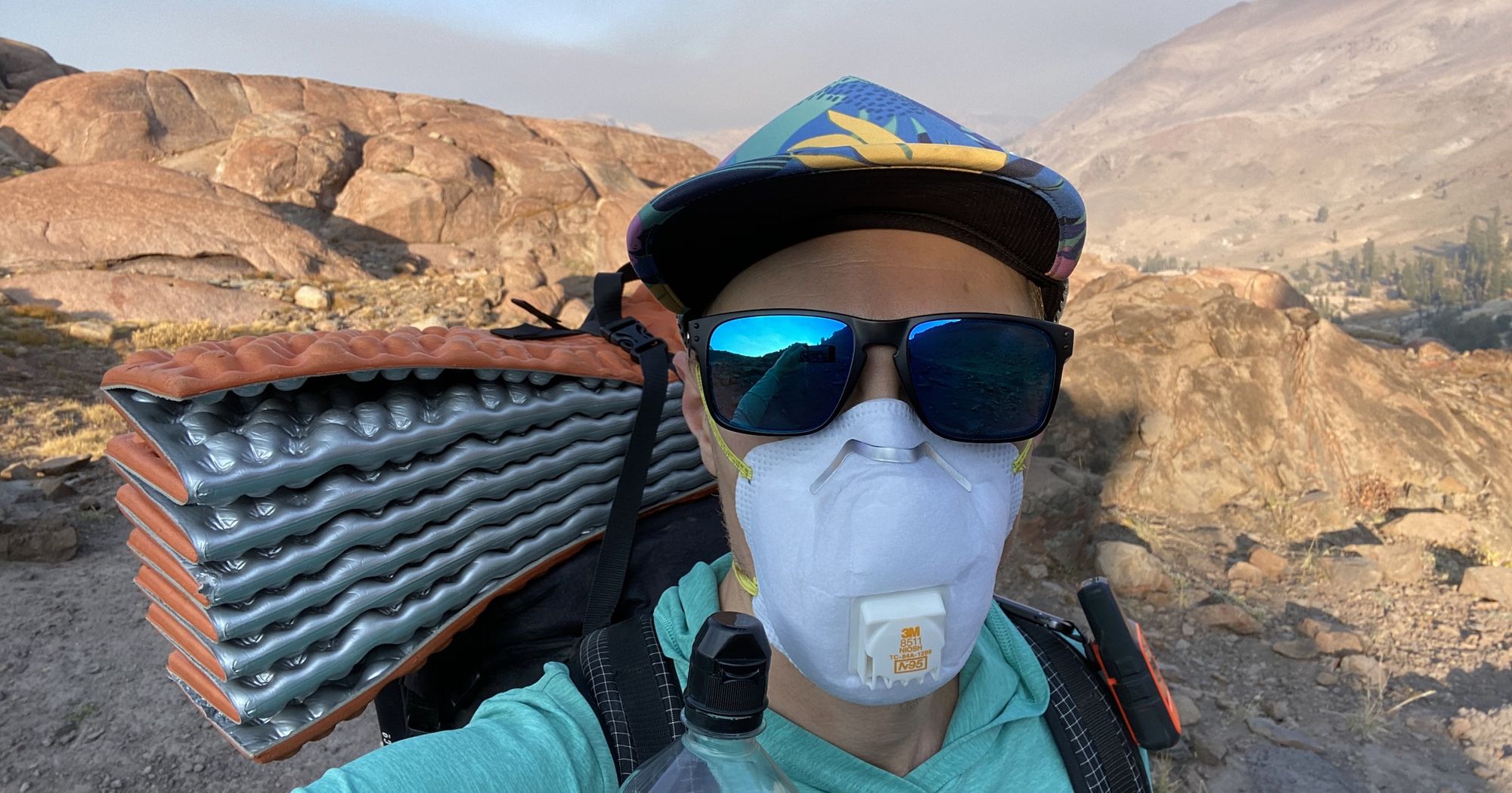
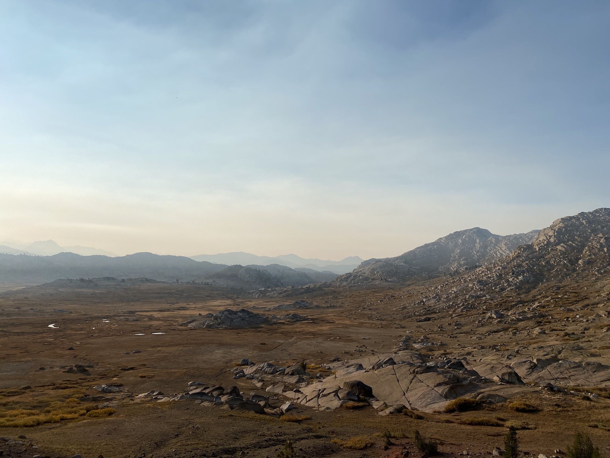
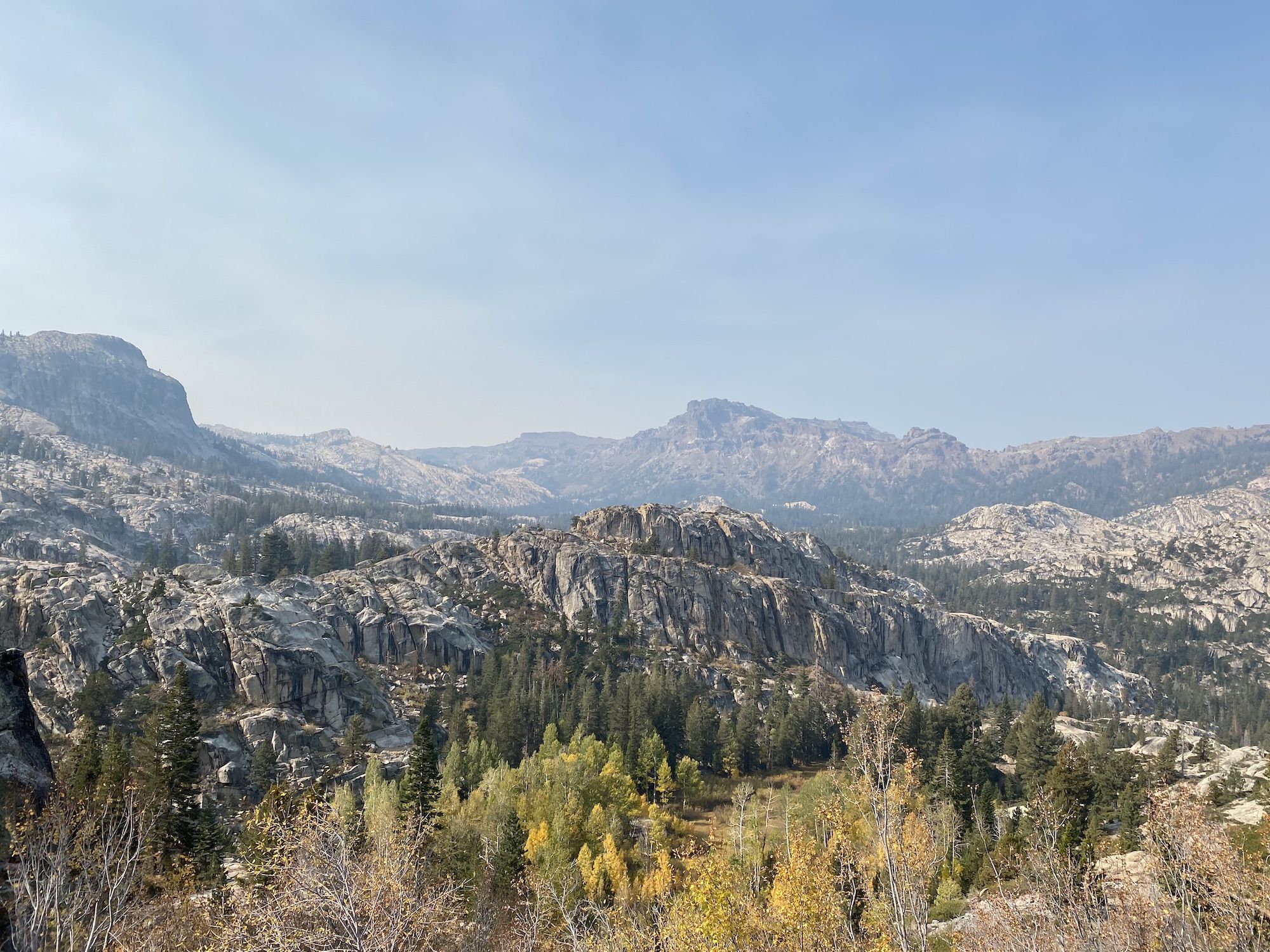
I woke up to a hazy sky. The overnight winds had brought in a layer of smoke from the south. The air smelled like a campfire.
As daylight washed away the darkness, I could see that I had a problem. I had planned to continue past Snow and Bigelow lakes towards some of the lakes above Huckleberry lake that I passed on my trip last fall. But I could barely see a half-mile in that direction. The smoke was coming in thick from the south.
The sky looked clearer towards the north. I made the call to cut my trip short and return to my car. I didn’t want to push through the smoke, potentially getting stuck over a day’s hike from my car in unhealthy conditions.
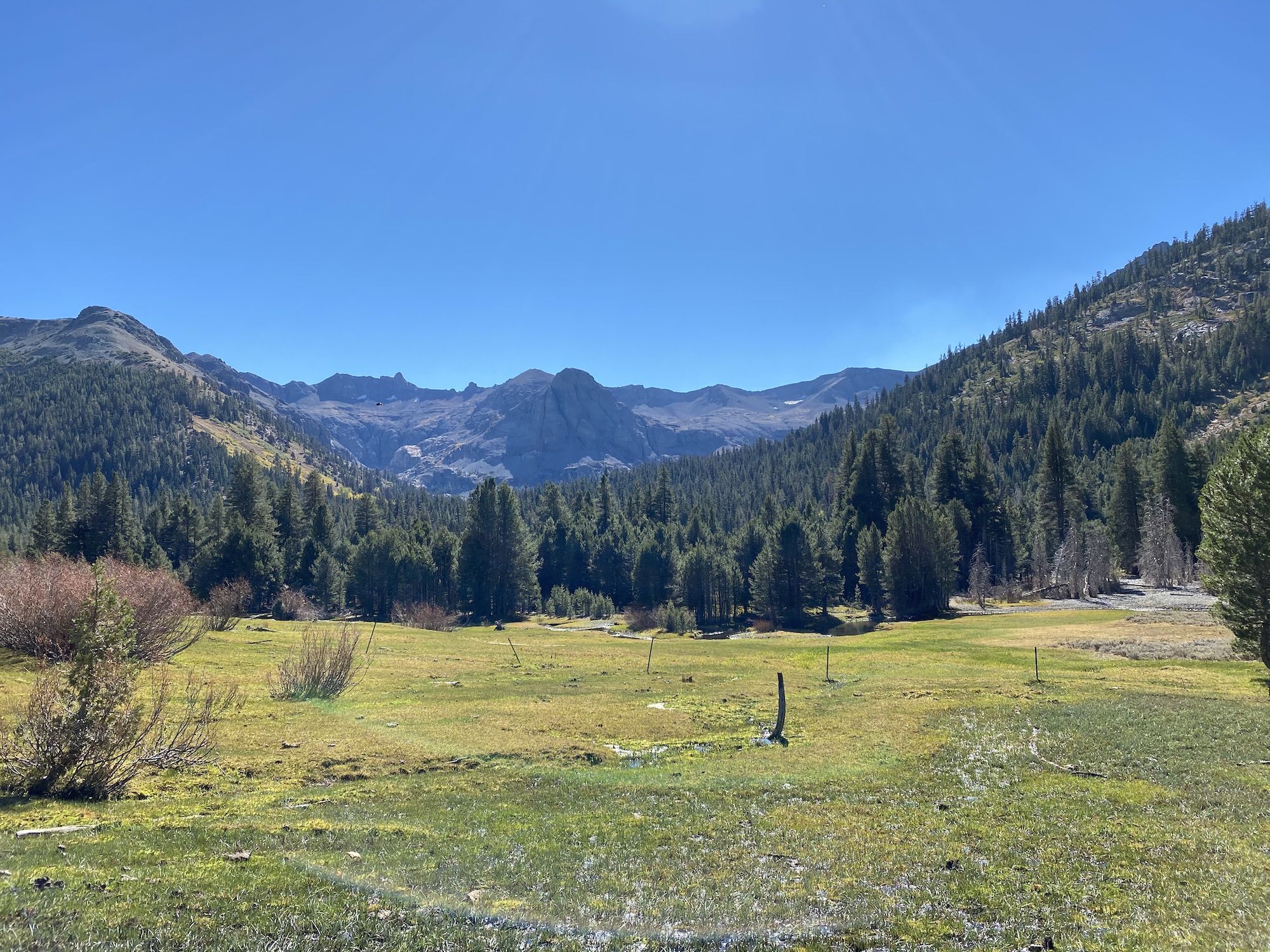
After a quick breakfast consisting of granola and cold coffee, I started my trek back. I cut off some pointless ups and downs by hiking cross country from High Emigrant Lake to Emigrant Meadow Lake.
The streams had dried up, leaving small puddles of algae and brook trout here and there. The lake was only a few inches deep. I wasn’t thirsty enough to deal with the pond water, so I figured I’d instead find some water on the other side of Brown Bear Pass.
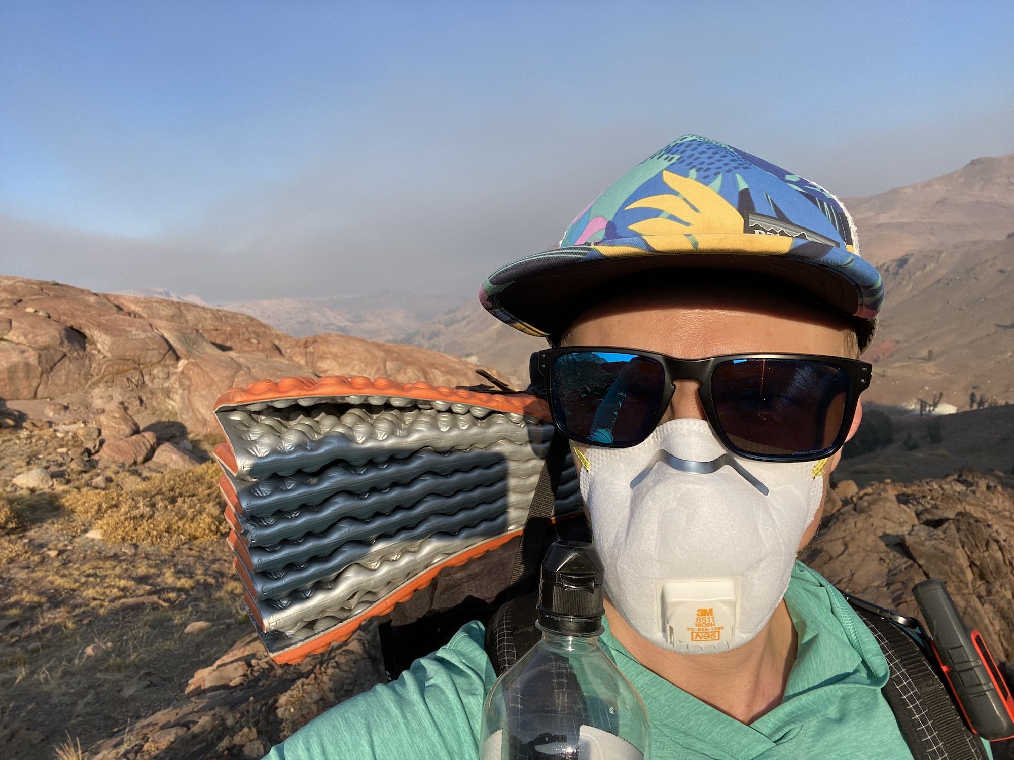
As I crested the pass, I could see another plume of smoke to the northeast spreading through the valley. The smoke was thick enough to water my eyes, so I dug out and donned the N95 mask I brought just in case.
I found a clear stream of water shortly after the pass on the north side. The smoke smell was pronounced whenever I took off the mask to have a drink or snack. As much as it sucked to cut the trip short, I knew I made the right call.
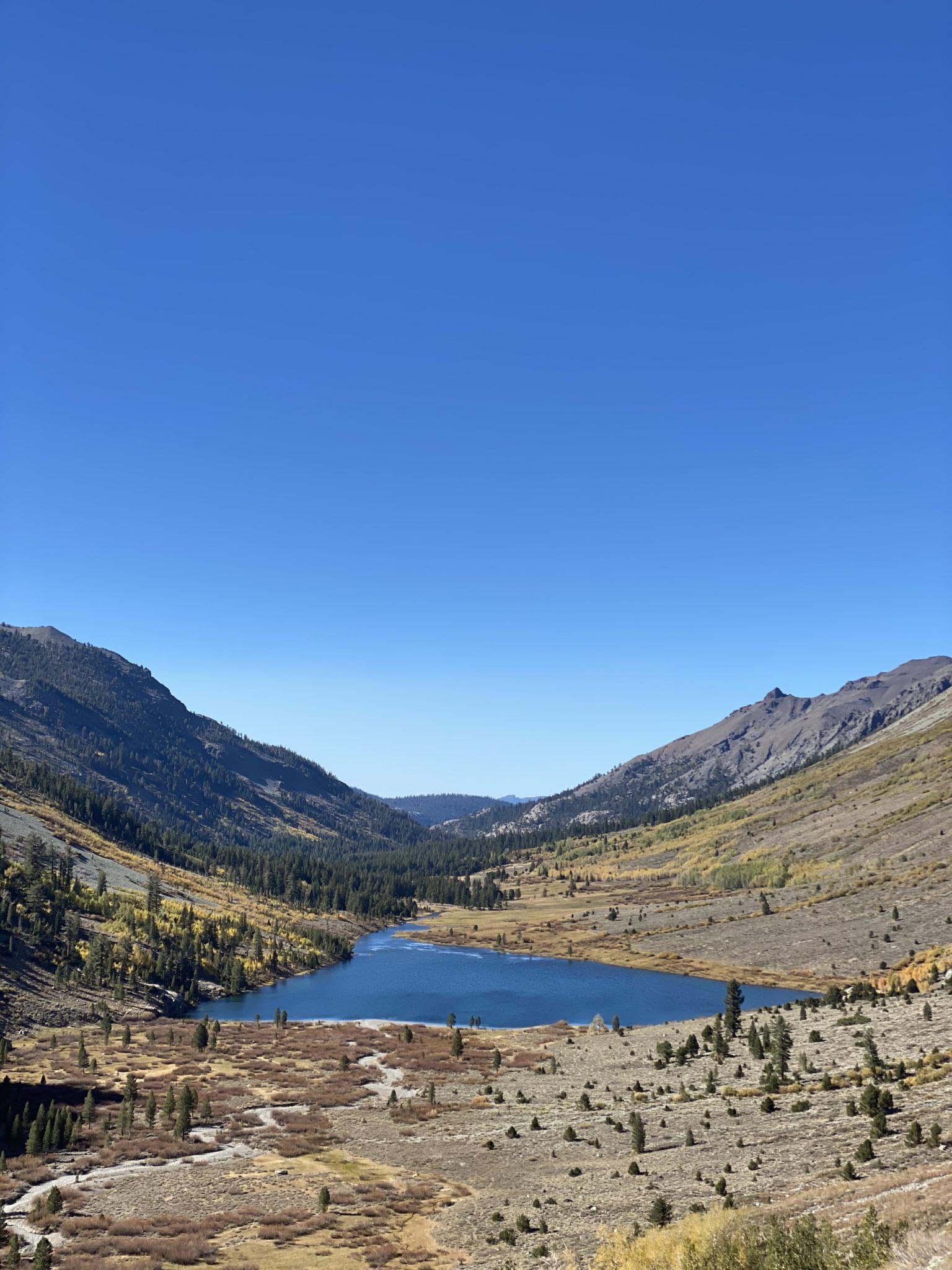
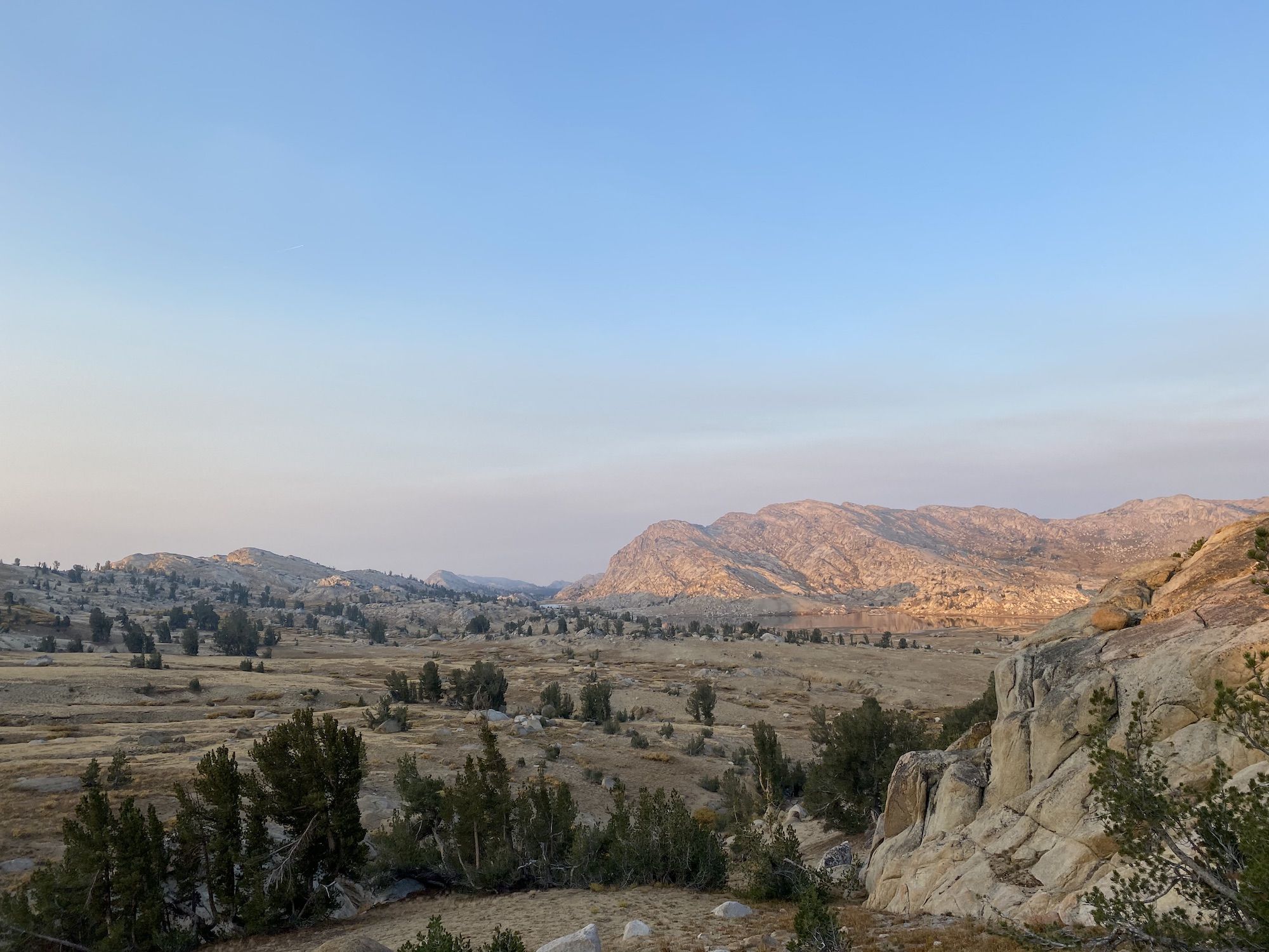
The geography on the way down along Summit Creek is interesting. The north side of the valley is all dark volcanic rock, while the south side is light gray granite.
I had lunch at a cliff overlooking the mountains to the south. Two groups of backpackers heading up passed by me, seemingly undeterred by the eye-watering smoke levels.
I stopped once more along the creek to fish a promising looking pool. I’d caught fish on every trip in 2020, and I didn’t want to break my streak now. The brookies were very skittish in the low water but hungry enough to overcome their shyness. After catching and releasing a couple, I continued my way down.
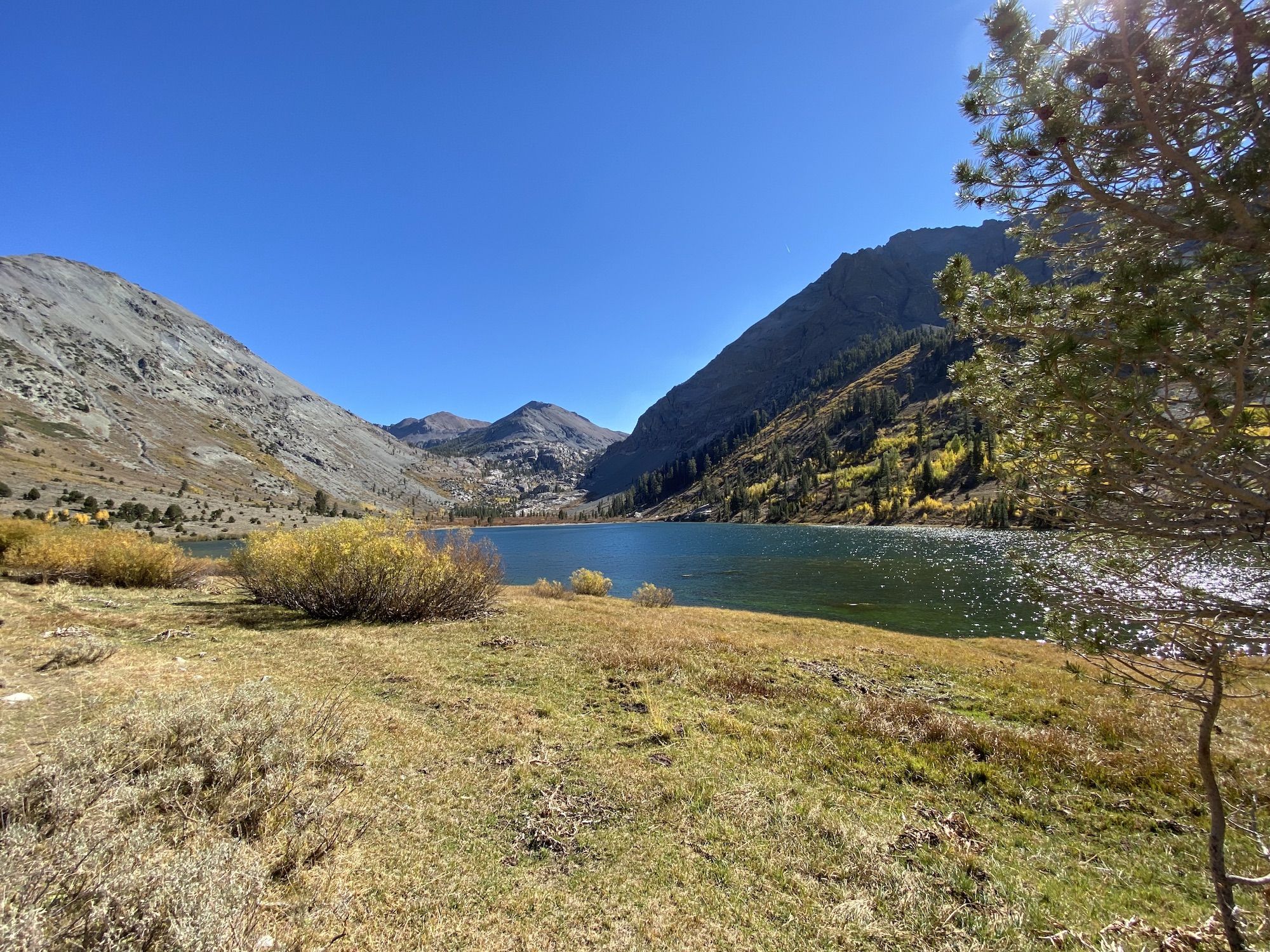
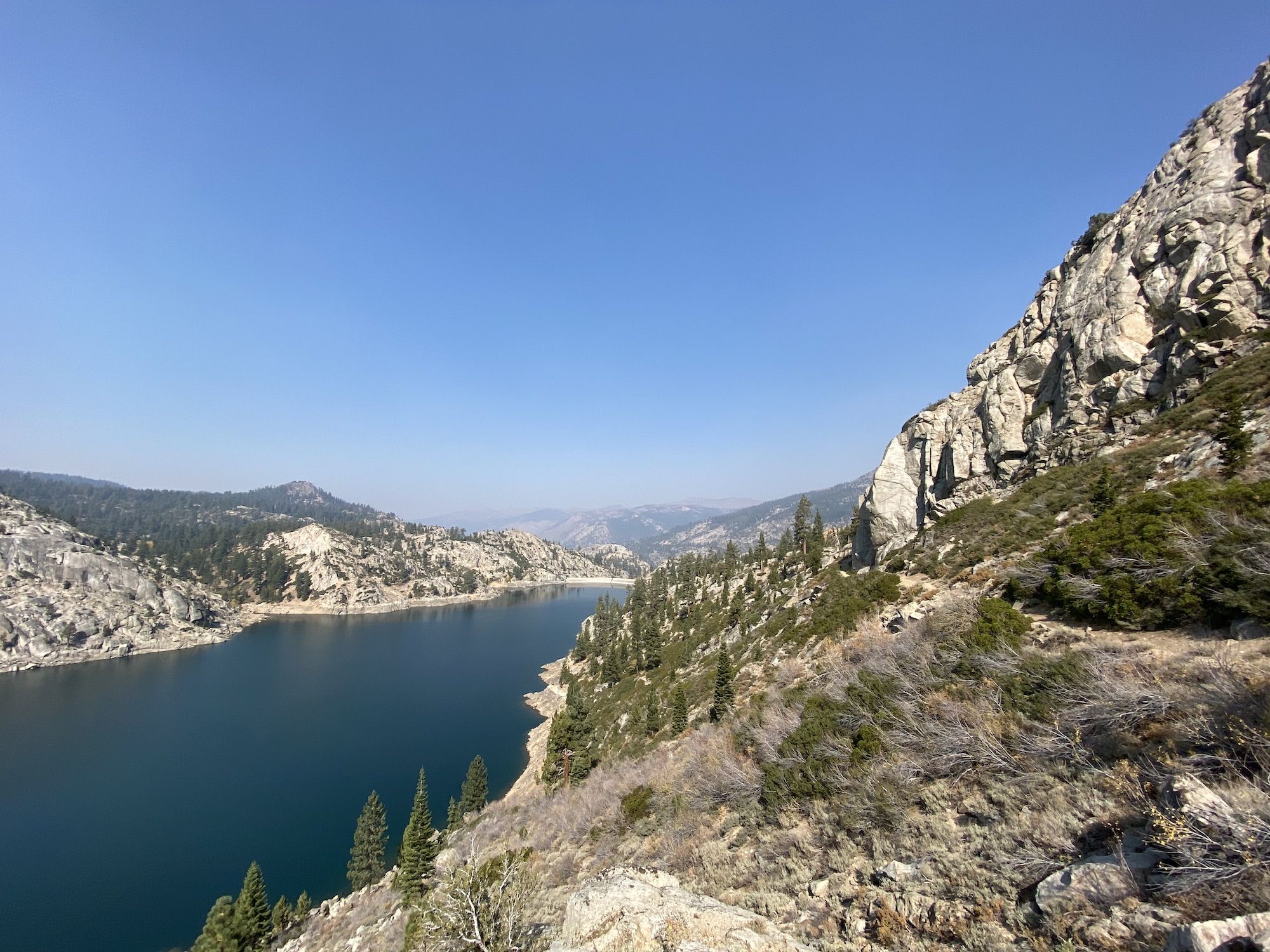
The trail skirted high above Relief Reservoir, the deep blue water contrasting the white granite and green trees.
Below the reservoir, I joined the same trail I was on the day before. The last few miles were uneventful, and I got back to my car a bit after one in the afternoon.
The route and stats
I can’t recommend this as an overnighter for most people. The first day has almost 5,000 ft of ascent over 17 miles. It crosses exposed areas that will be snow-covered early in the season and prone to thunderstorms later in the summer.
The second day was a much more pleasant 14 miles with 1,000ft of ascent.
Gear
I was prepared for the temperature to drop into the 20s (-5C) overnight, so I had a lot more warm gear than I ended up needing as it stayed well above freezing. I would have brought my quilt had I been sure it would have stayed this warm.
The other noteworthy difference from my usual setup is that I didn’t bring a stove. Apart from missing my warm morning coffee, this worked out well. Bagels with cream cheese was a good meal.