JMT: Forrester Pass and Crabtree Meadows
Trip report of the JMT section from Bubbs Creek to Crabtree Meadows: Forester pass, Tyndall Creek, Wallace Creek.
Day 13 – 19.5miles, 4000ft ascent
We woke up at 5. We wanted to get over Forrester Pass and Bighorn Plateau before any storms started forming.
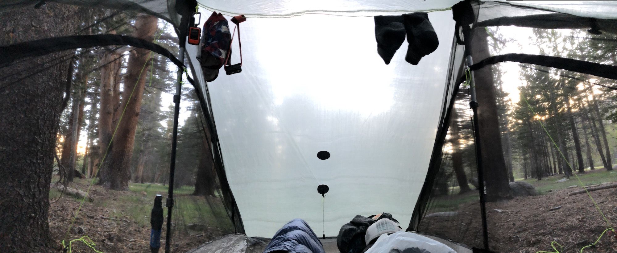
It was still dark when I started packing. Everything was wet from condensation after the storm. By the time we hit the trail, it was already light enough to hike without a headlight. We decided to have breakfast a bit later once the sun started warming the air.
The climb was initially gradual. Even so, I felt out of breath early on. I stopped to eat breakfast at the outlet of the last lake before Forrester Pass.
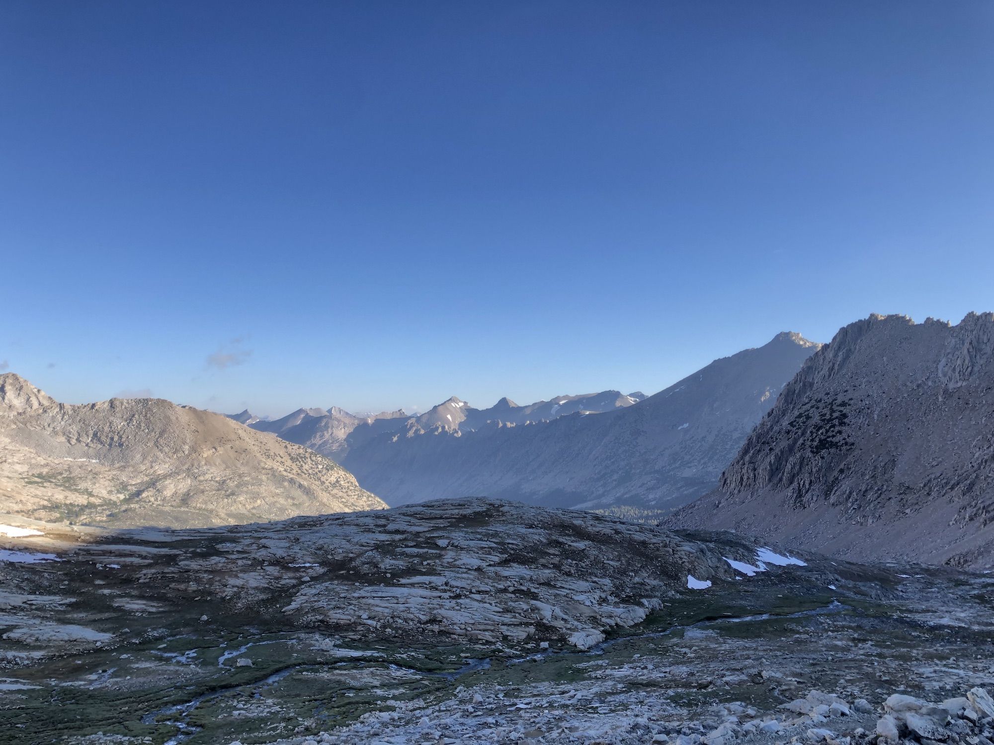
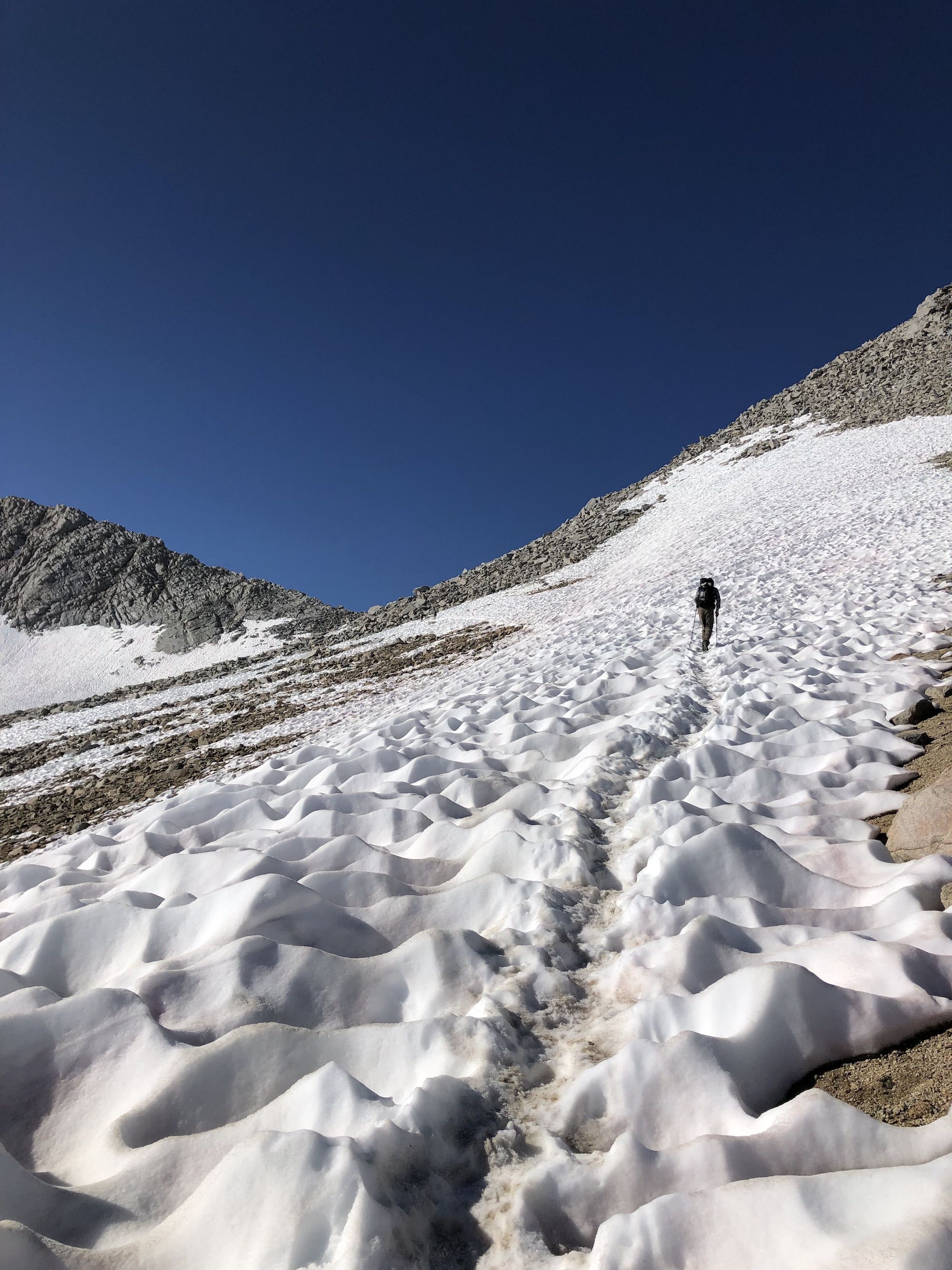
Fueled by the calories and caffeine, I continued on. There was a snowfield that covered most of the switchbacks. To get around it, everyone climbed the rocks on the side. The climb wasn’t very technical, but it was steep and exhausting.
From there, a boot track crossed a long snowfield. After the snowfield, it was a scramble up a talus field toward the pass. Only in the last few yards before the pass did I find the trail again.
After a brief break at the top of the pass, we headed down. The barren landscape was like being on the moon. But the trail was easy going after we got past the switchbacks.
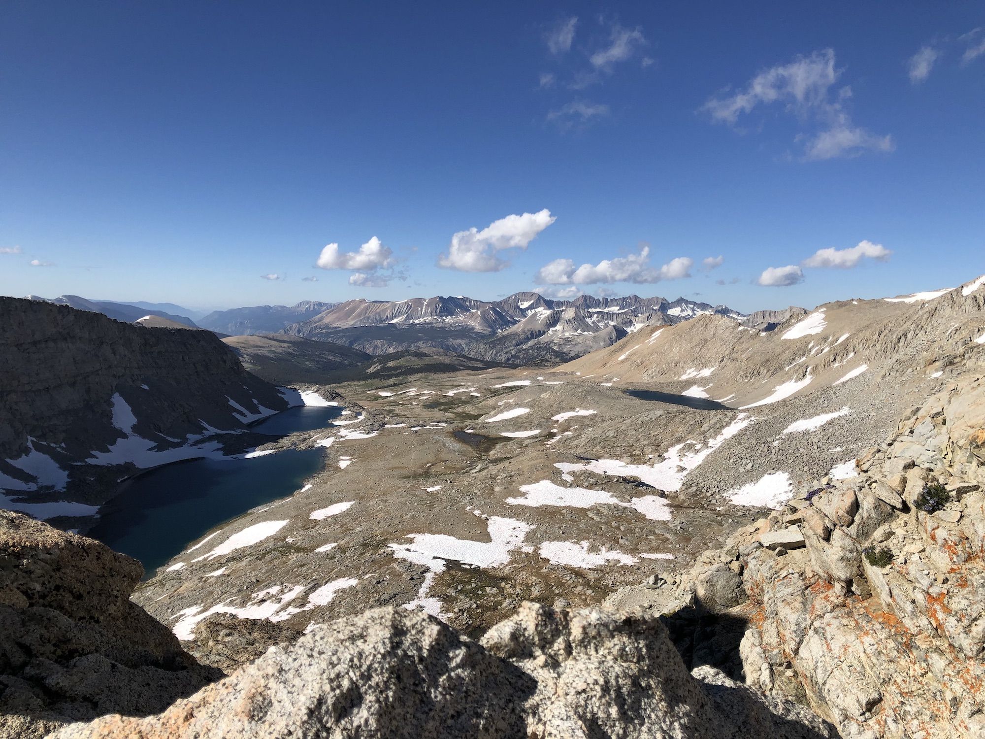
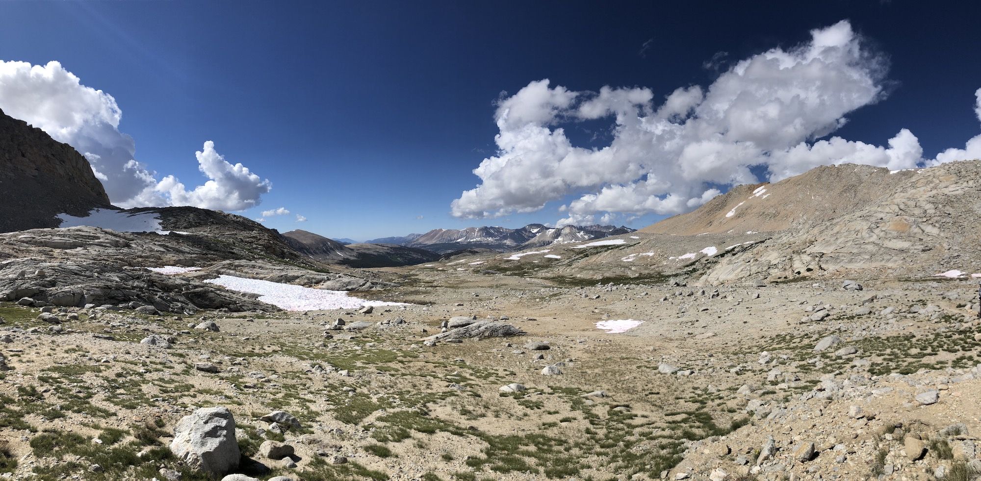
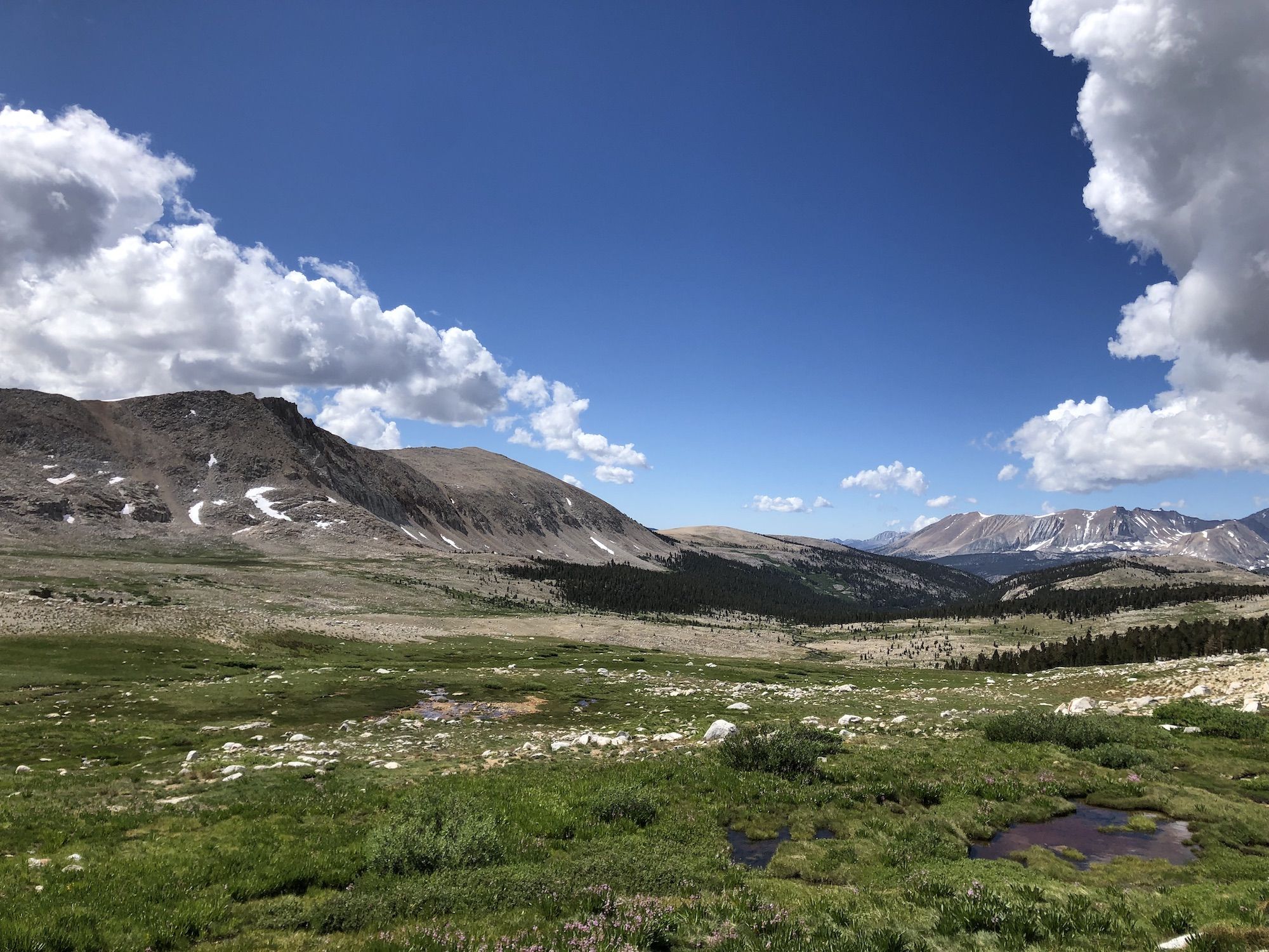
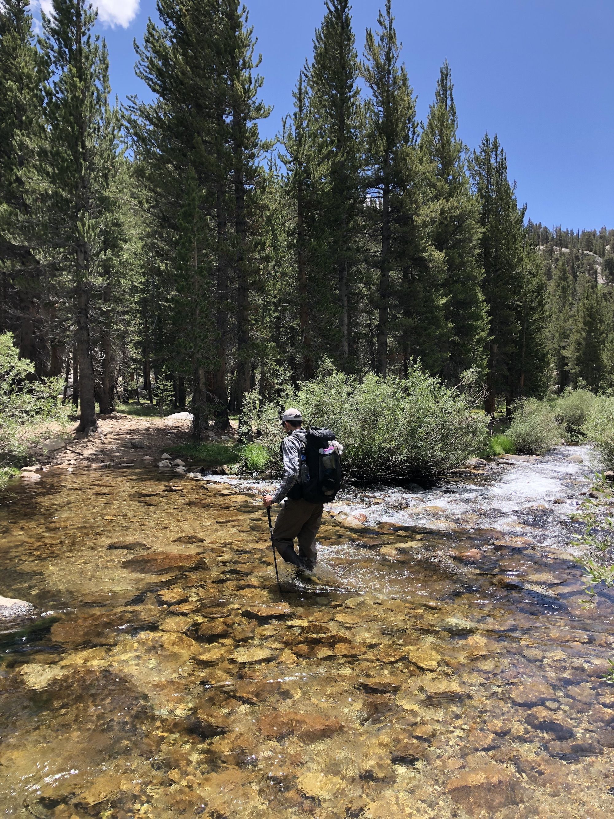
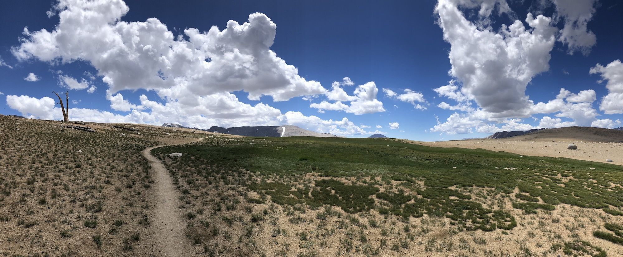
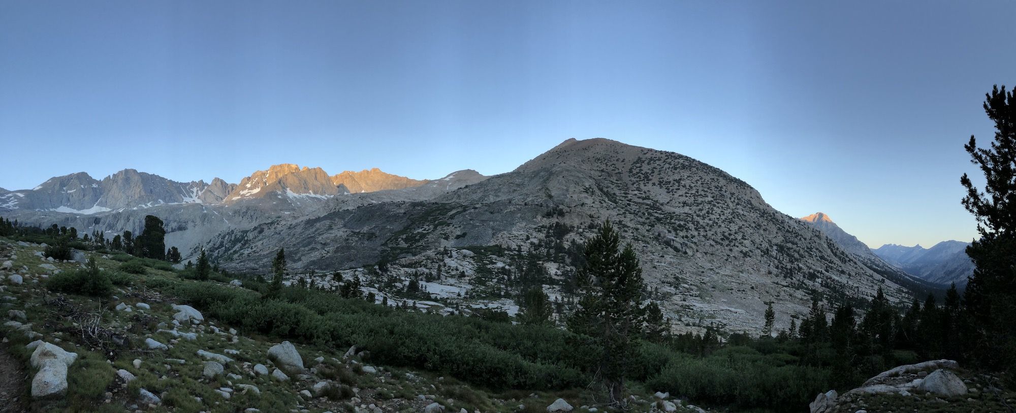
It took a long time to get down to treeline. We descended down to Tyndall Creek and then climbed up towards Bighorn Plateau. We were completely exposed on the plateau. Fortunately, the storm clouds were still far off in the distance. Occasional dead trees were dotting the otherwise empty plateau. Crows sitting on the trees made it feel like an old western.
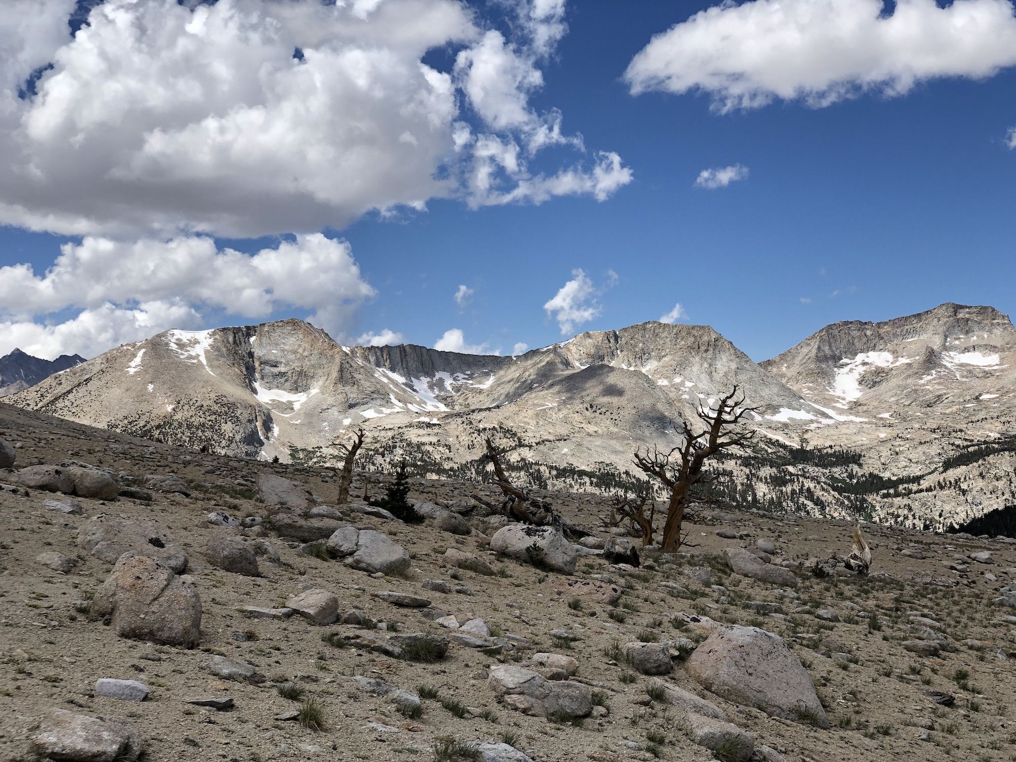

After we got off the plateau, we only had a few more miles to Crabtree meadow. The trail went through a forest of cool foxtail pines.
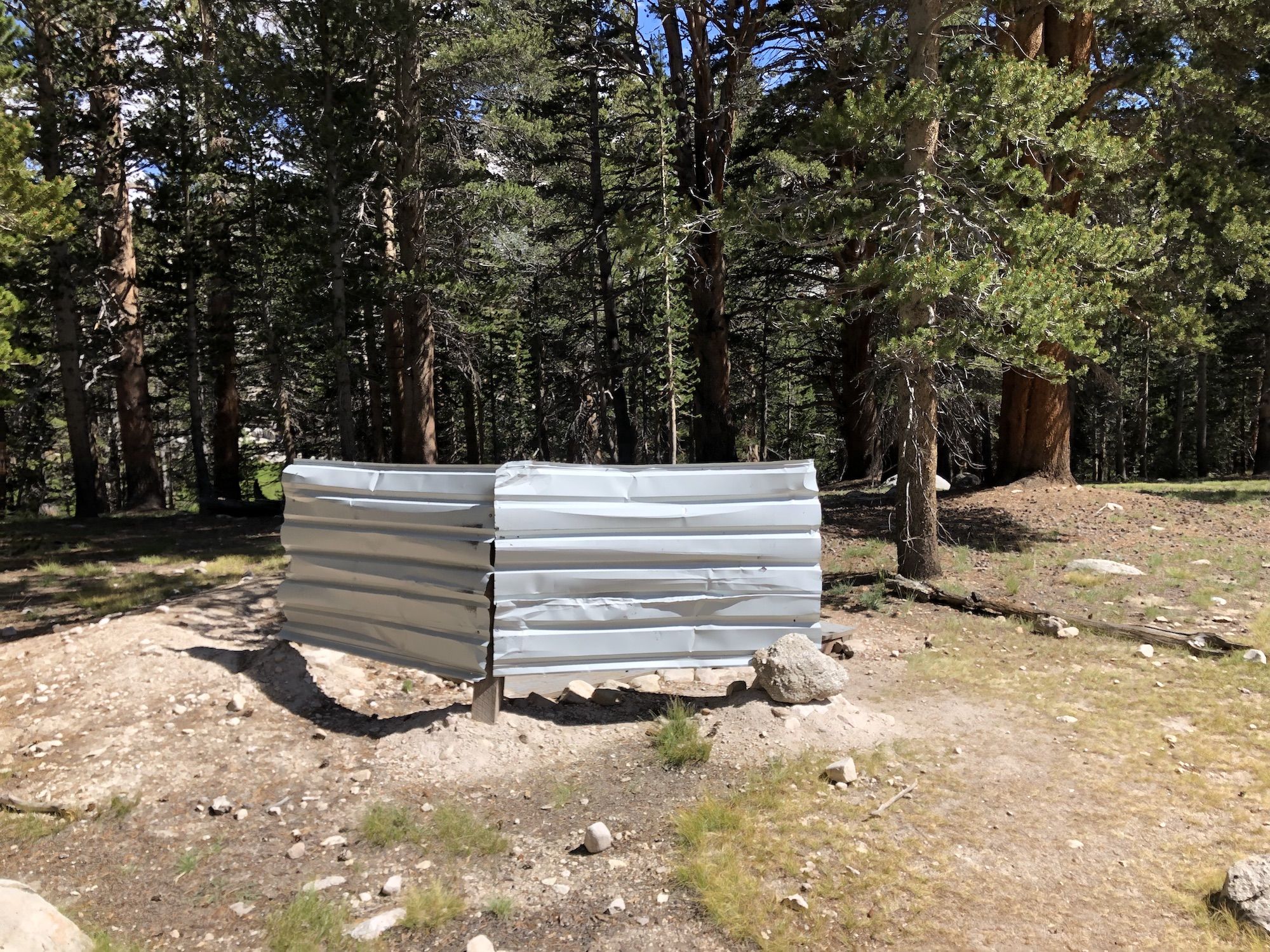
We decided to stop at Crabtree instead of heading up to Guitar Lake because it had a pit toilet, and we didn’t want to deal with wag bags.
Crabtree Meadows was a massive campground. Backpackers and outfitters with their guests were packed tightly next to each other. It was a stark difference from the solitude of the previous days.
We set up camp and sat at the edge of the meadow drying things and planning our last day. We decided to wake up at 3am to make sure we would get to the top of Whitney and down to Whitney portal before any storms rolled in.
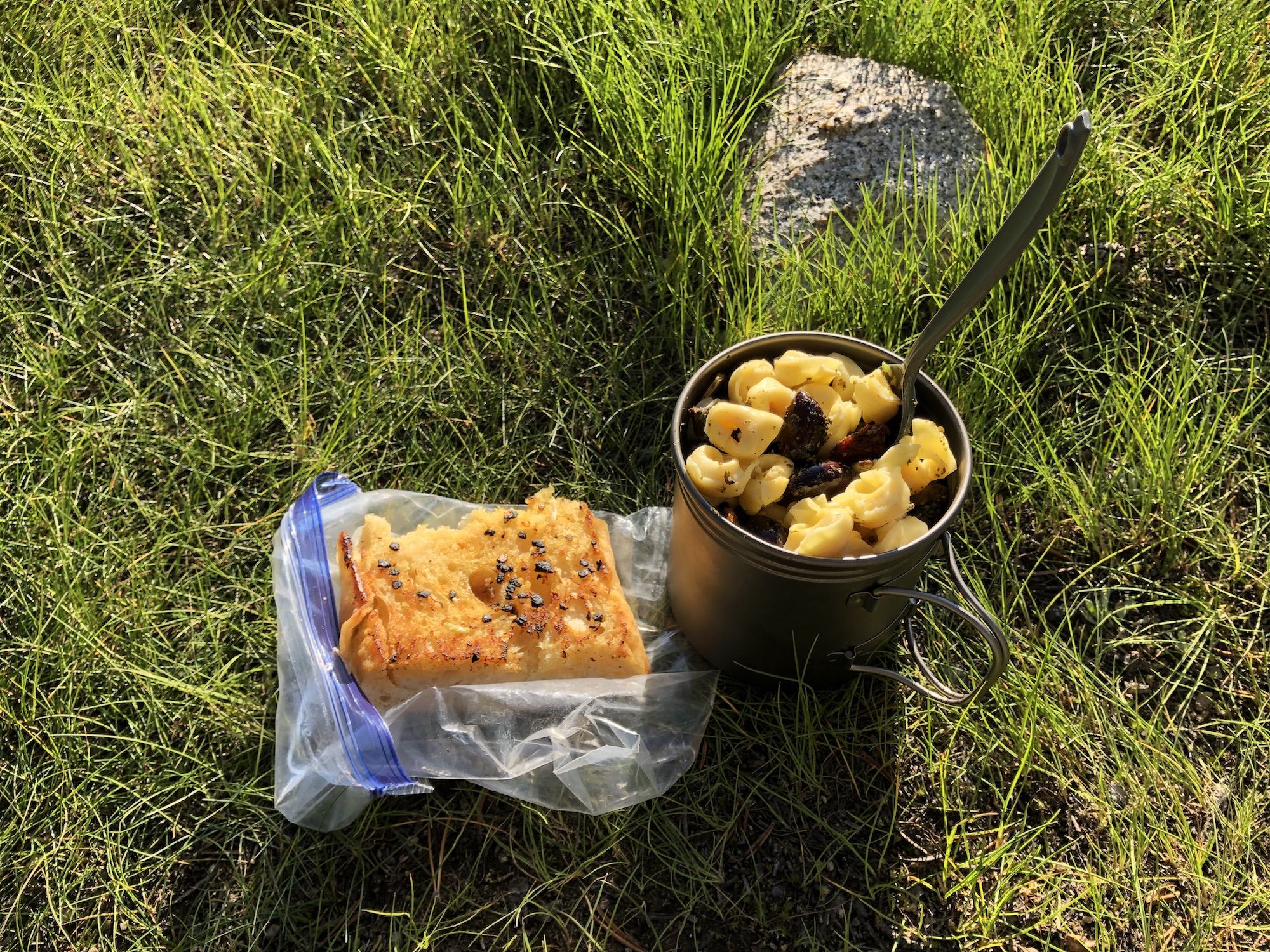
Just as we were about to make dinner, one of the outfitters’ cooks was looking for their packers to give them some leftovers. We said we were kind of packers – backpackers – and that we could help out.
The cook couldn’t find the packers, so she came back and gave the food to us. Score! Kale Caesar salad, tortellini with sun-dried tomatoes, pine nuts, olives, and garlic bread. What a treat for the last night.
We went to sleep before sunset, excited to climb Whitney in the morning.