Yosemite High Route, a 9-day backpacking adventure
On this section hike of the Yosemite High Route, we got to see rarely visited parts of the park and explore the spectacular high sierra landscape.
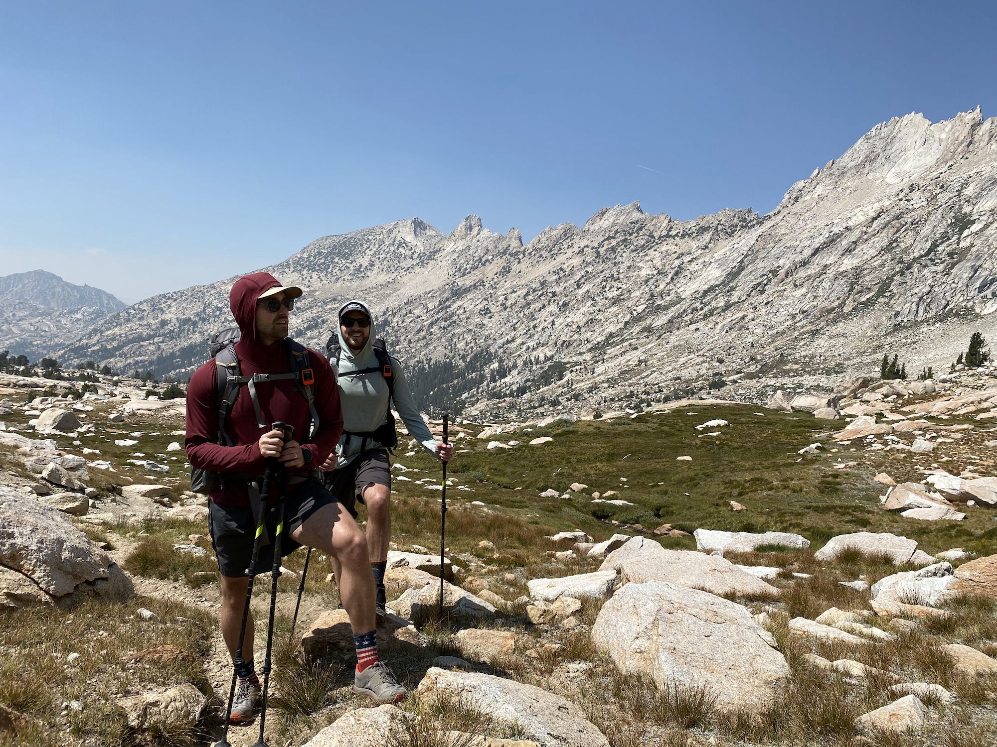
This was my third consecutive year of doing a high route with Brandon and Steve. We met at an Andrew Skurka guided trip in Rocky Mountain National Park in 2019. In 2020, we explored Kings Canyon on a 6-day trip. This third time around, we would set out to explore the Yosemite high country.
Trip date: August 18-27.
The modified Yosemite High Route
We began planning the trip early in the year, as we had to apply for permits 169 days in advance. The route we planned was based on Andrew Skurka’s Yosemite High Route. Brandon was our master course planner, stitching together sections of the high route into suitable length days and sticking to sections we were comfortable with.
The resulting trip was a 10 day, 9 night figure-8 loop that starts and ends at Tuolumne Meadows, halfway resupply.
Itinerary
| Day | From | To | Miles | Up | Down |
|---|---|---|---|---|---|
| 1 | Tuolumne Meadows | Virginia Canyon | 14.5 | 2,280 | 2,364 |
| 2 | Virginia Canyon | Slide Canyon | 14.5 | 3,897 | 3,586 |
| 3 | Slide Canyon | Spiller Canyon | 13.8 | 3,620 | 3,168 |
| 4 | Spiller Canyon | Young Lakes | 16.6 | 3,837 | 3,232 |
| 5 (part 1) | Young Lakes | Tuolumne Meadows | 6.5 | 685 | 2,004 |
| 5 (part 2) | Tuolumne Meadows | Upper Cathedral Lake | 5.6 | 1,459 | 432 |
| 6 | Upper Cathedral Lake | Obelisk Lake | 18.7 | 5,222 | 4,943 |
| 7 | Obelisk Lake | Isberg Peak | 14.1 | 4,119 | 3,931 |
| 8 | Isberg Peak | Vogelsang | 17.3 | 4,615 | 4,489 |
| 9 | Vogelsang | Tuolumne Meadows | 7.4 | 188 | 1,743 |
| Total | 129.0 | 29,922 | 29,892 | ||
| Average | 14.3 | 3,325 | 3,321 |
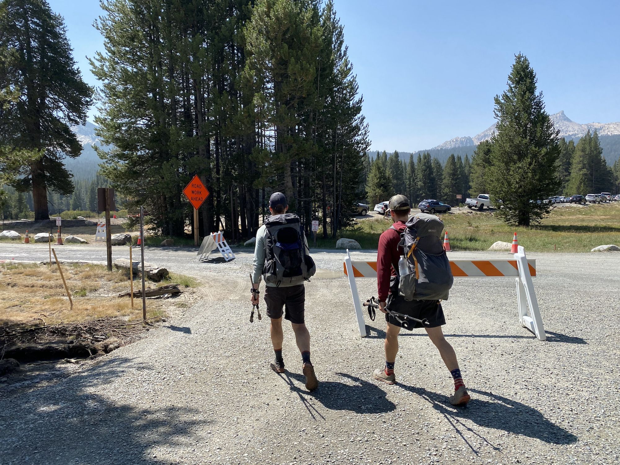
Getting to Yosemite and setting up the resupply
Brandon and I drove up to Yosemite together. We met up with Steve at the entrance gate, got our permit, and drove the remaining hour to Tuolumne Meadows. It took us a while to figure out where to park, but we eventually found spots for our cars along the 120.
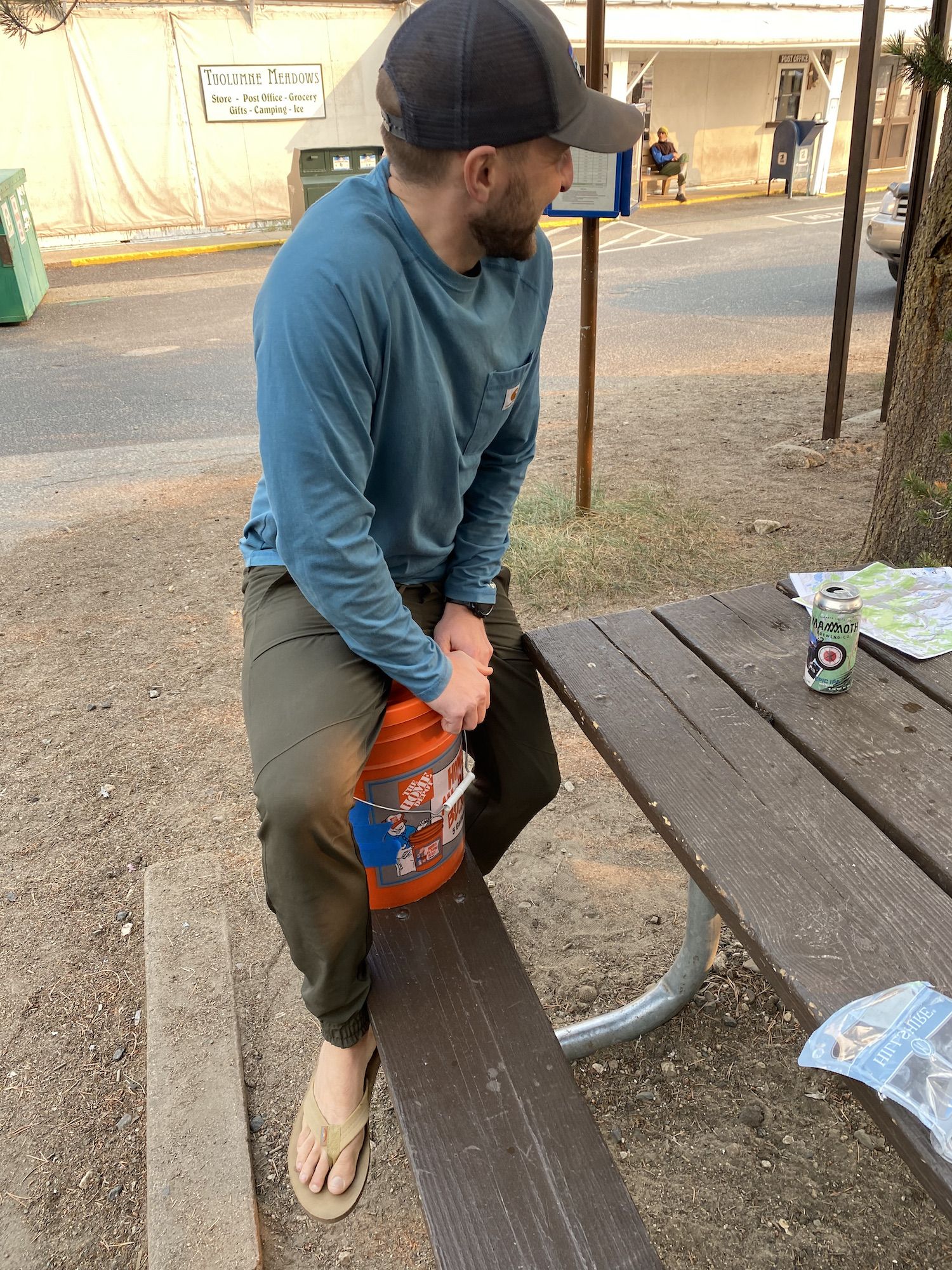
Our first order of business was to get our resupply sorted out. We could have stashed our food in one of the bear boxes at the trailhead for free, but we opted to pay $30 to store a 5-gallon bucket at the post office just for the peace of mind, not having to worry about our food getting stolen while we’re out.
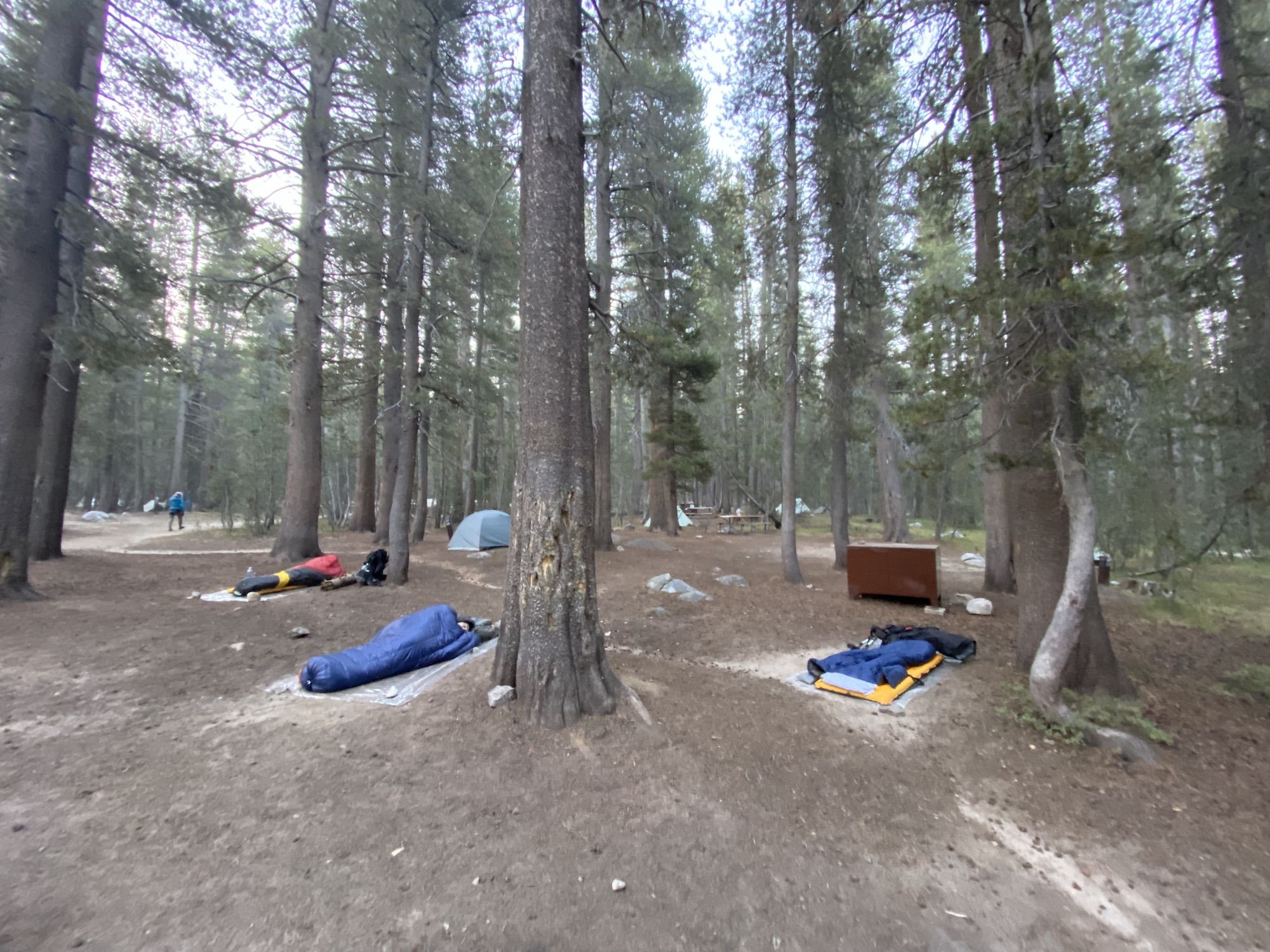
With the resupply done, we headed to the backpackers’ campground and set up our hobo camp. A nearby camper finishing his trip questioned if we’re really going to sleep like that, without any shelter. Indeed, we would.
We ate sandwiches we bought on the way up for dinner, then went to bed as we were all tired from the ride up.
It took me a long time to fall asleep as I kept waking up when people with torches walked past our camp late into the night.
Day 1: Tuolumne Meadows to Virginia Canyon
I woke up before 6 to the sounds of other campers packing up. I wasn’t feeling that well-rested. I made a coffee to warm up and went back under my quilt to listen to my audiobook while waiting for Brandon and Steve to wake up.
Later, we ate breakfast, packed up camp, and went to the cars to stash the last of our gear we didn’t need on the trip.
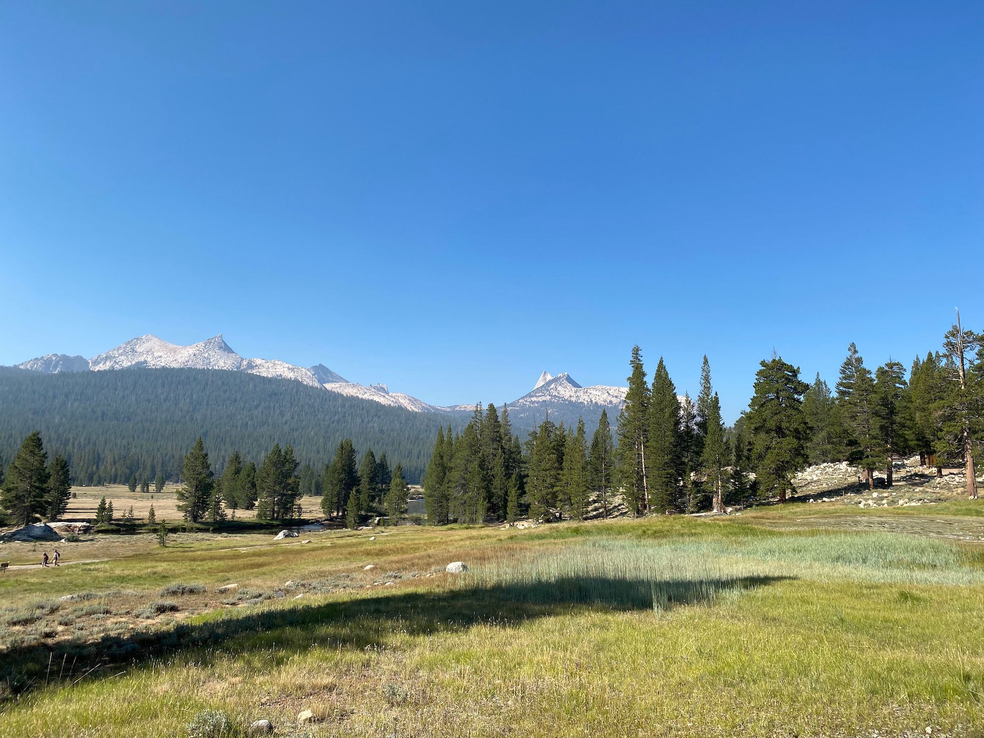
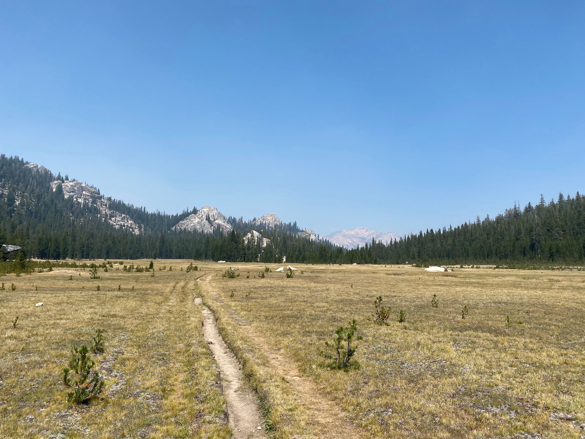
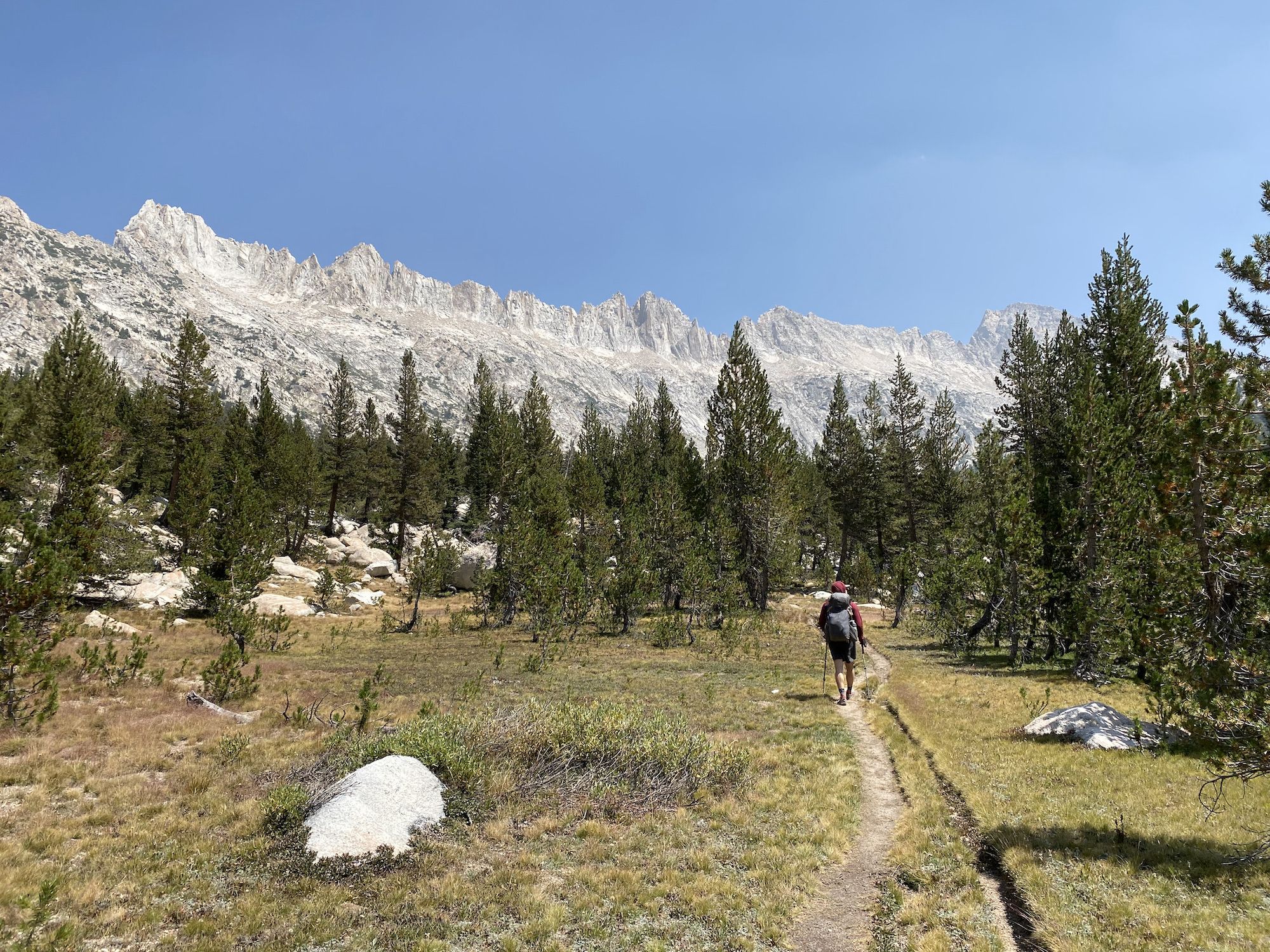
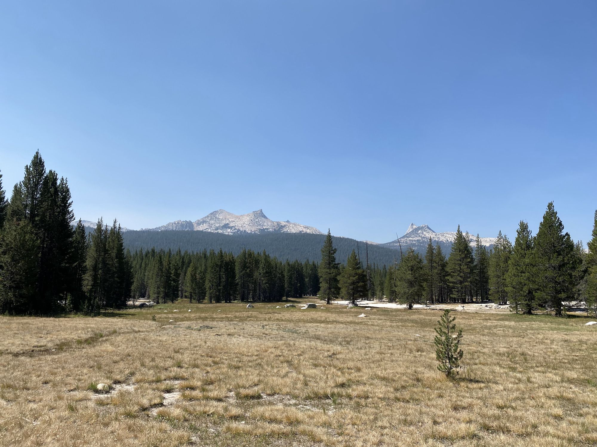
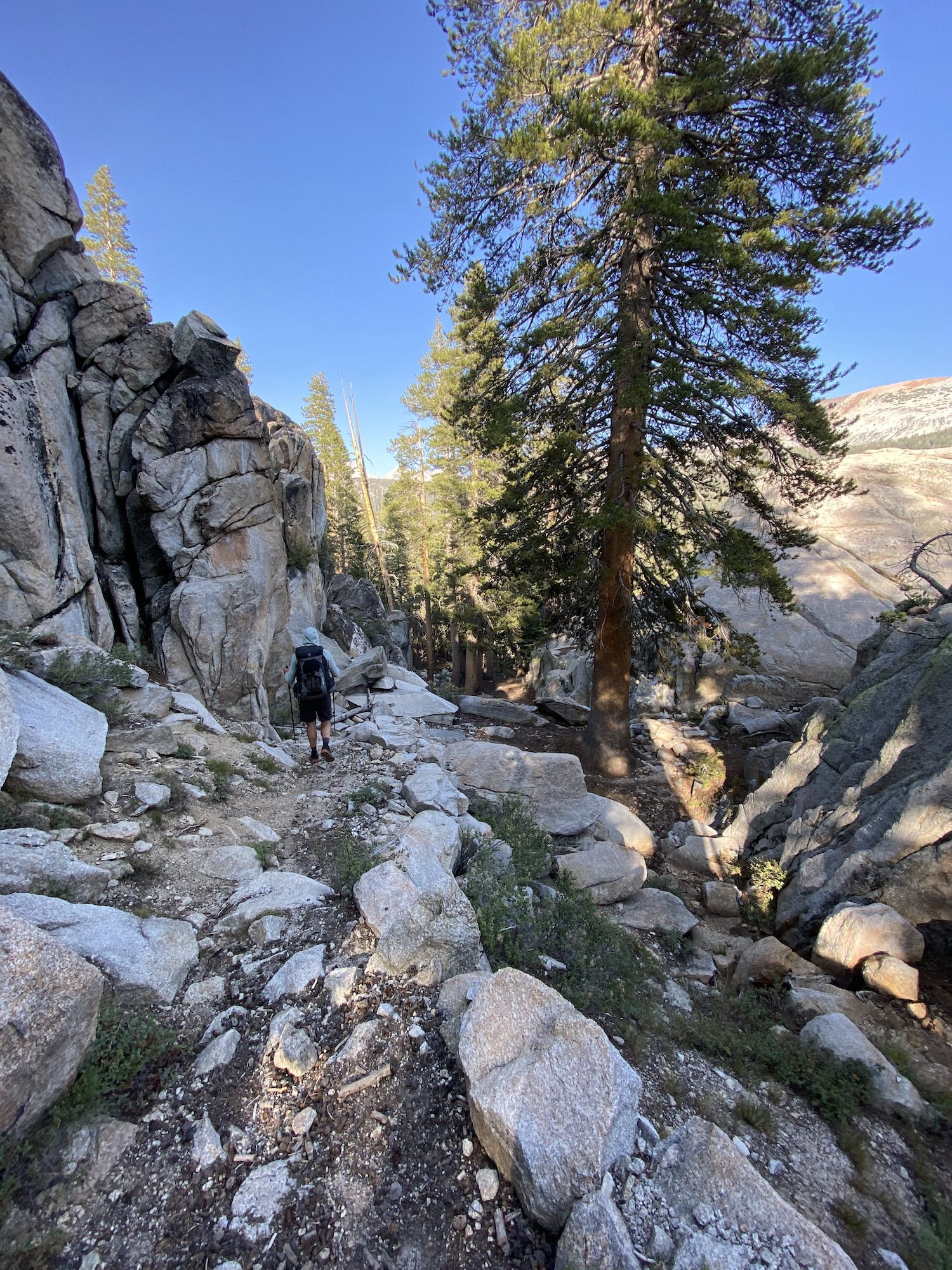
We left the trailhead at 9. The air was hazy, but the smoke was not too bad. The first few miles of the trail followed the Tuolumne River. The river ran low, but it was still flowing.
We stopped at the Tuolumne waterfall for a lunch snack. The air was surprisingly chilly, so we didn’t end up stopping for long.
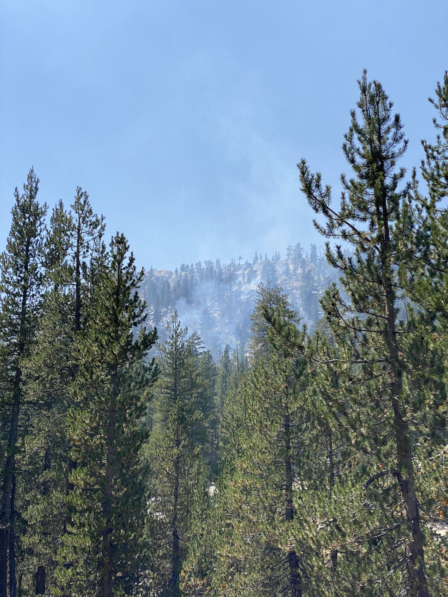
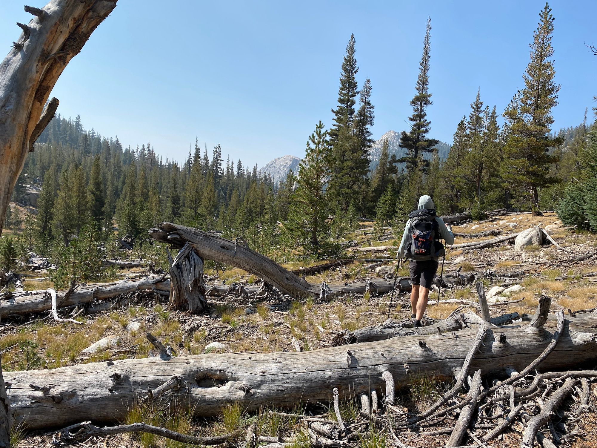
After we crossed the river and passed Glen Aulin, we started climbing. The smoke was looking thicker behind us. Thankfully, it looked better the way we were heading, except for a small lightning-started fire we passed that was putting out some smoke.
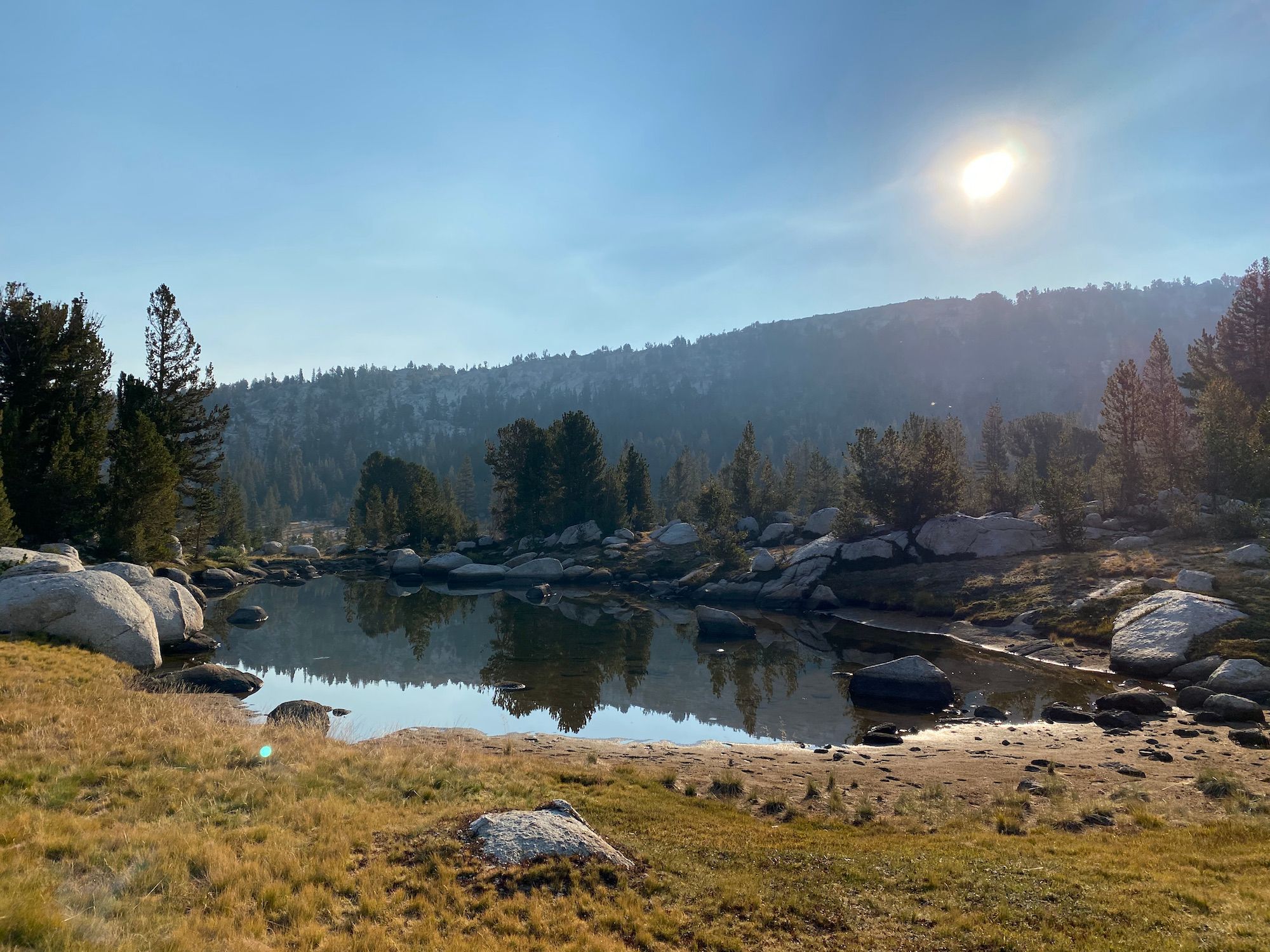
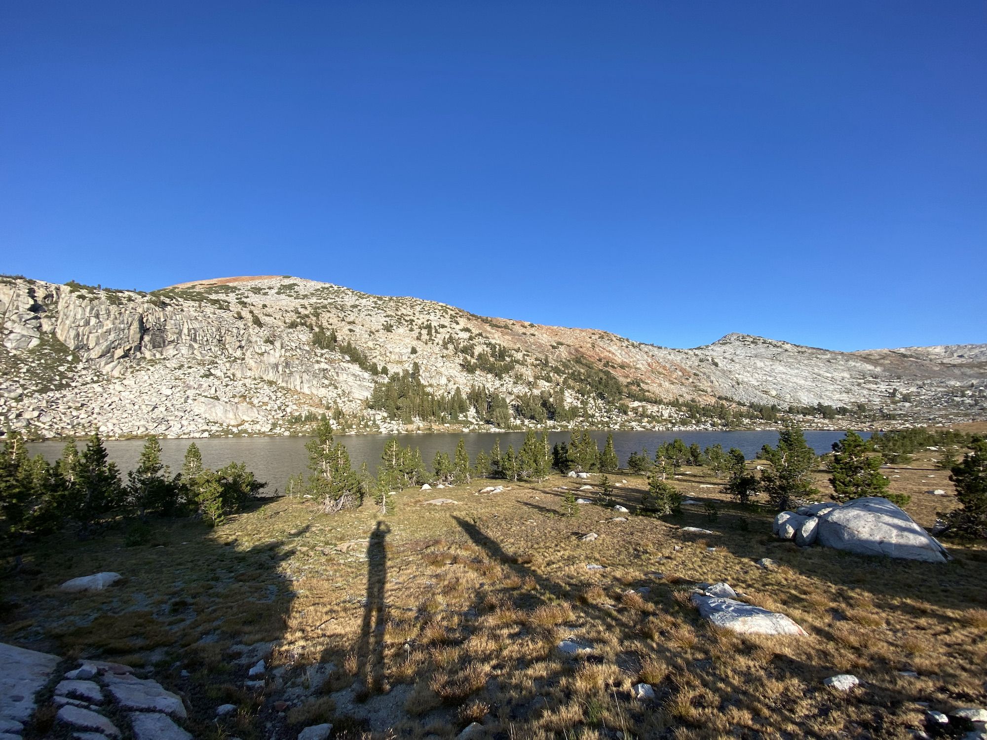
The creek we followed on the way up was dry, so we were thirsty by the time we got to camp at the intersection on McCabe and Return Creek. We sat by the creek, enjoyed the views, and drank water before setting up camp.
Day 2: Virginia Canyon to Slide Canyon
We woke up at 7:30 after a good night’s sleep in the quiet forest. We made breakfast and packed up camp at a leisurely pace.
We started the day with a 1,200 ft climb through an open forest, offering few views. The air was a little hazy, but the smoke wasn’t bad.
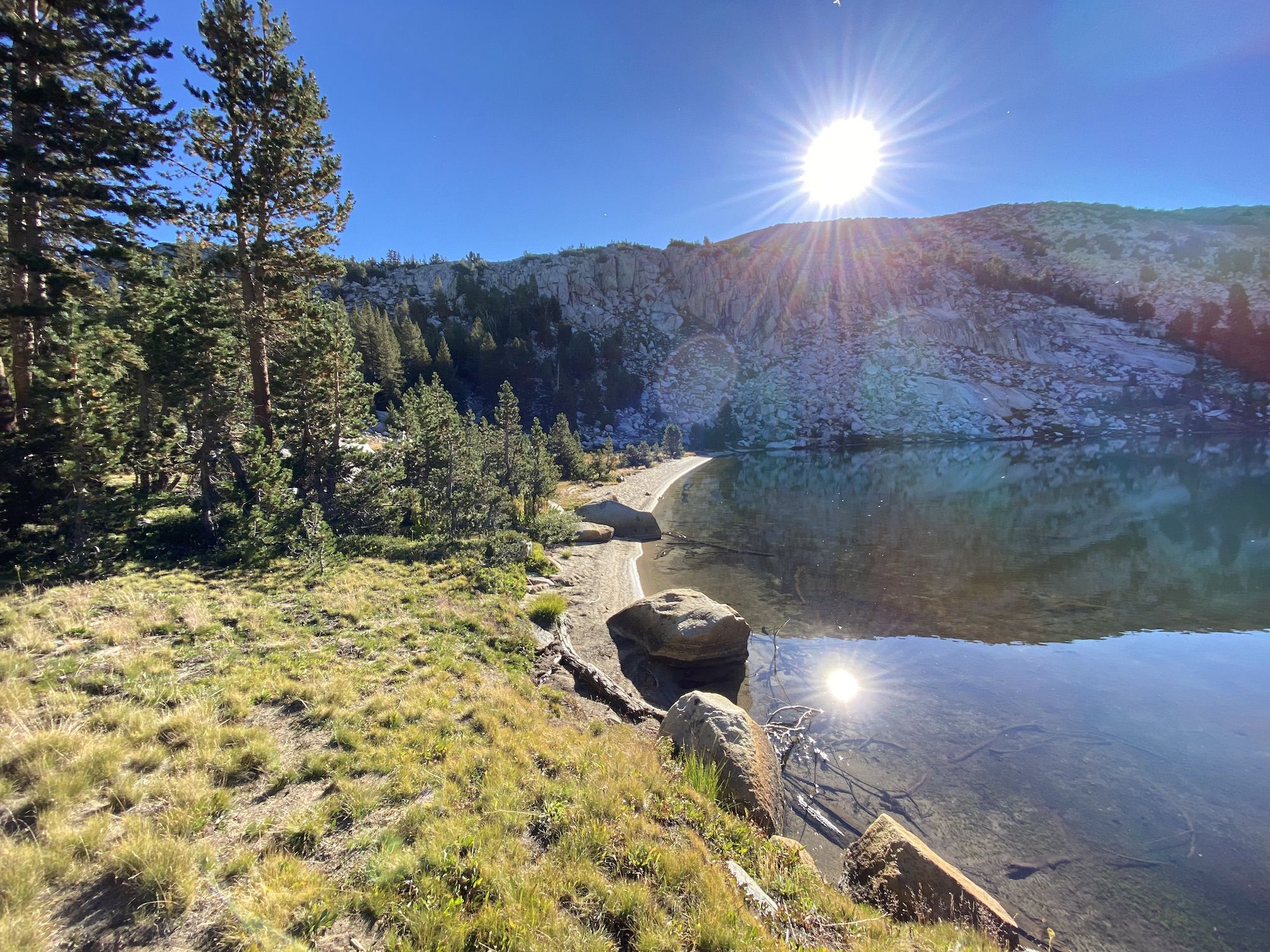
We stopped at Miller Lake for a coffee break and swim. On a long trip like this, I like to make sure I wash myself and rinse out my clothes at least every other day. The lake had a narrow sandy beach that dropped sharply just a few feet out from the shoreline. The water was warm in the shallow water along the shore but quickly became cold as you swam farther out.
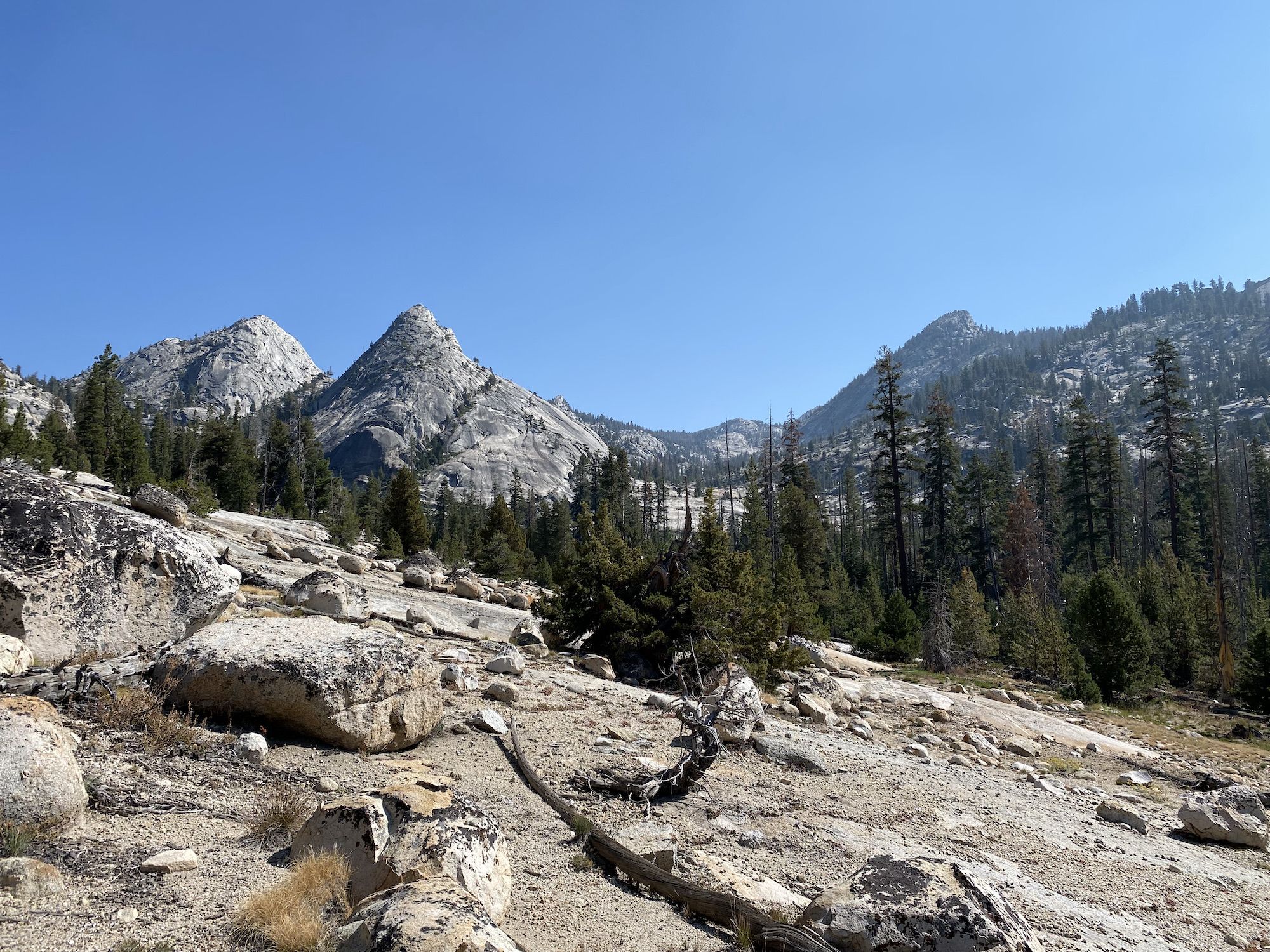
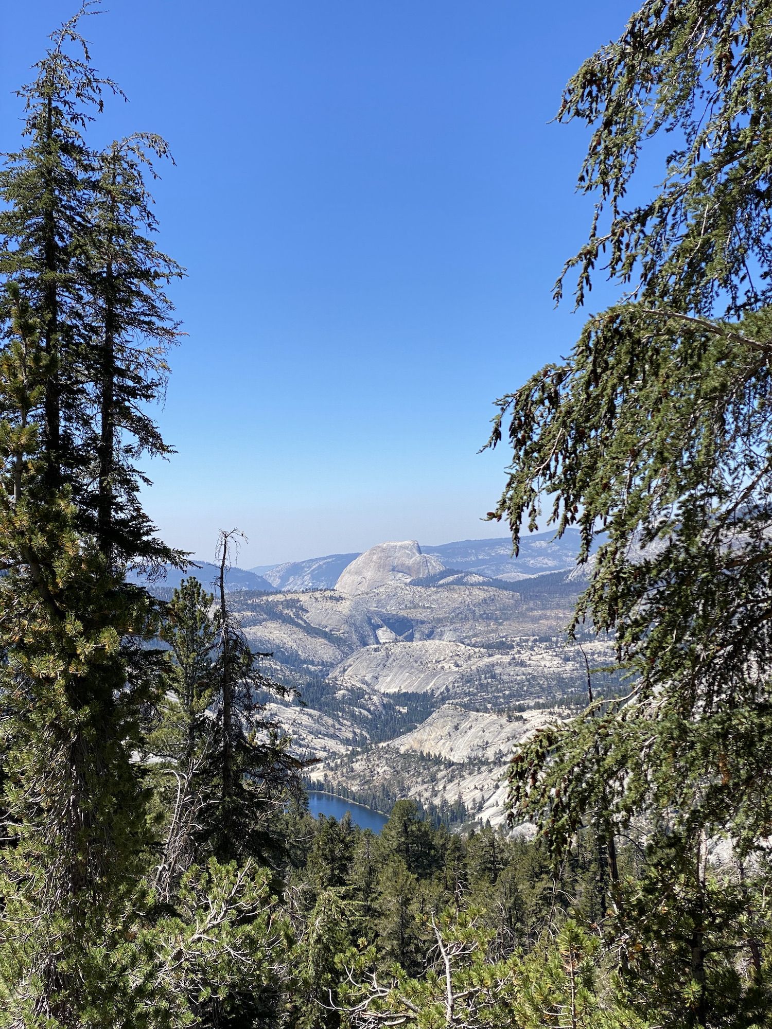
After the break, we started descending into Matterhorn Canyon. The views finally opened up, and we could start to see some of the canyons we’d be walking through over the next few days.
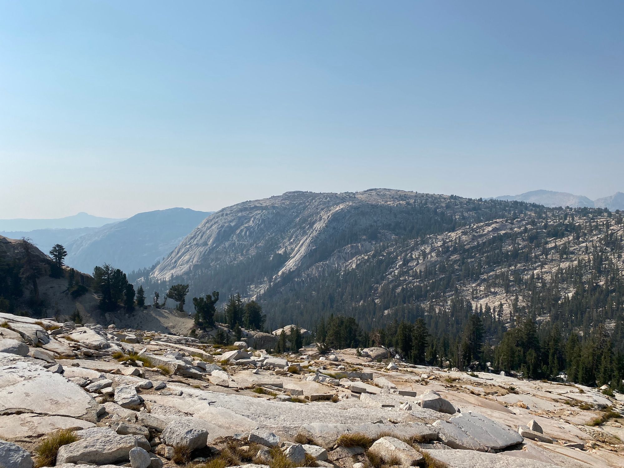
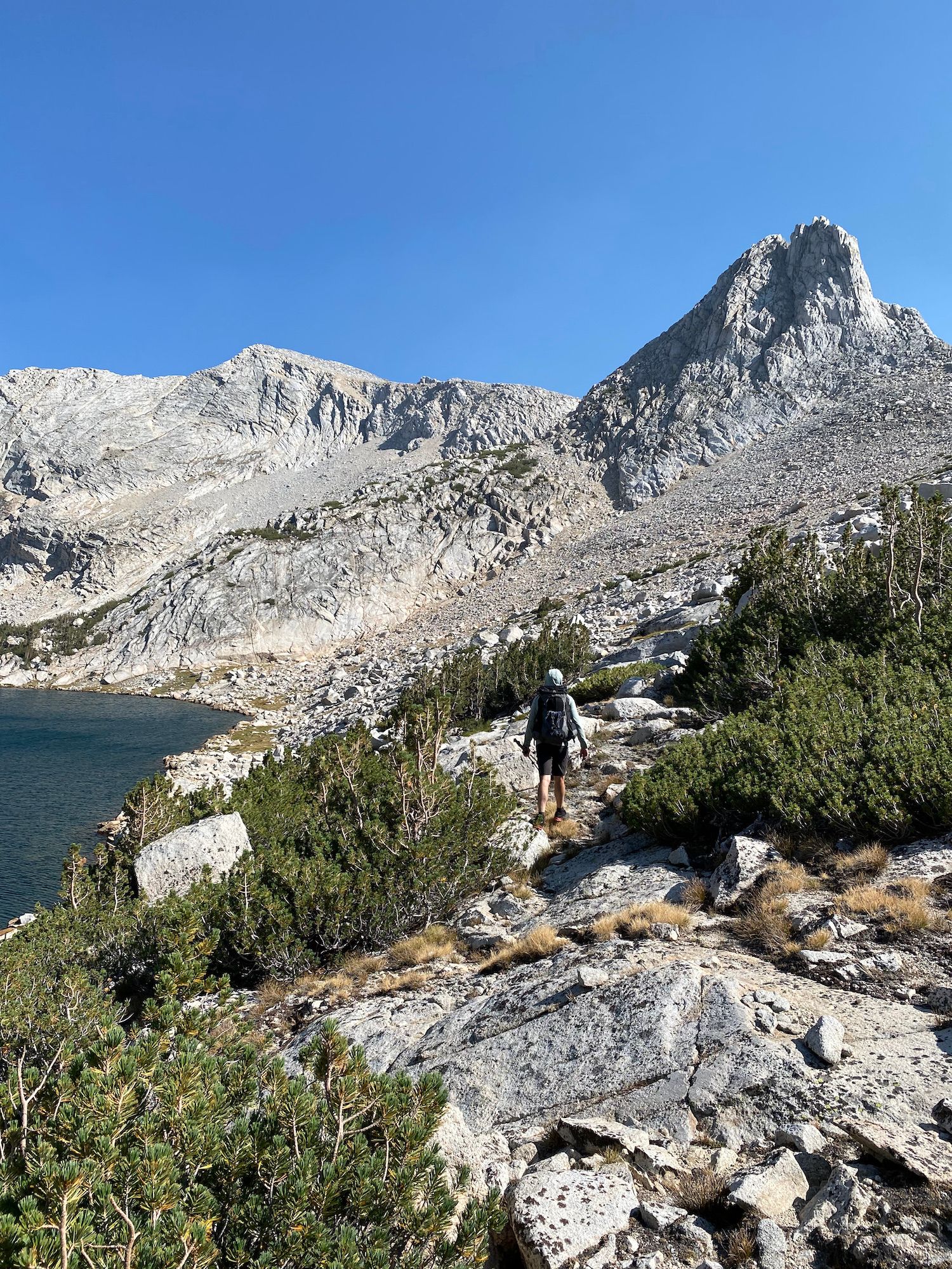
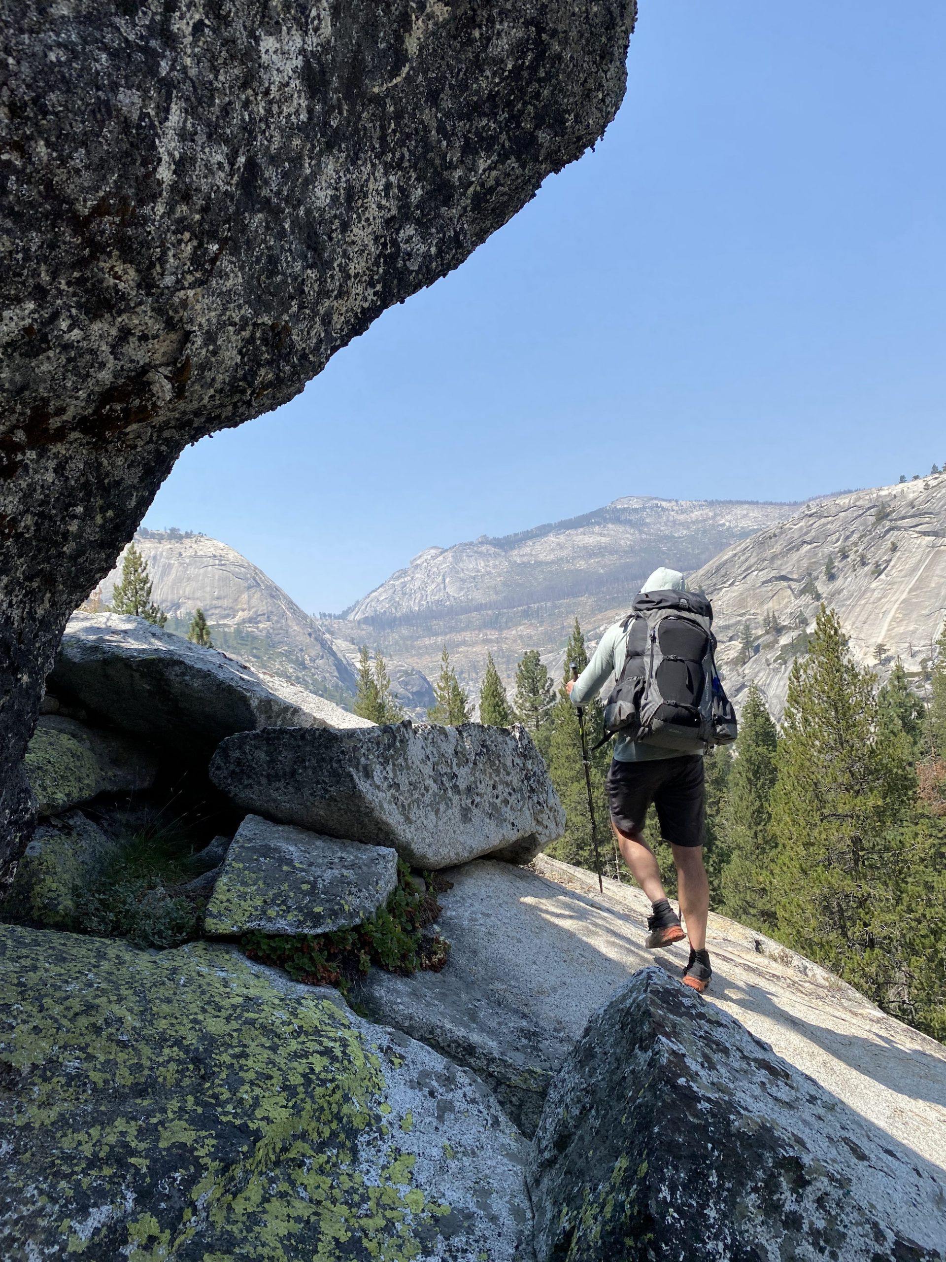
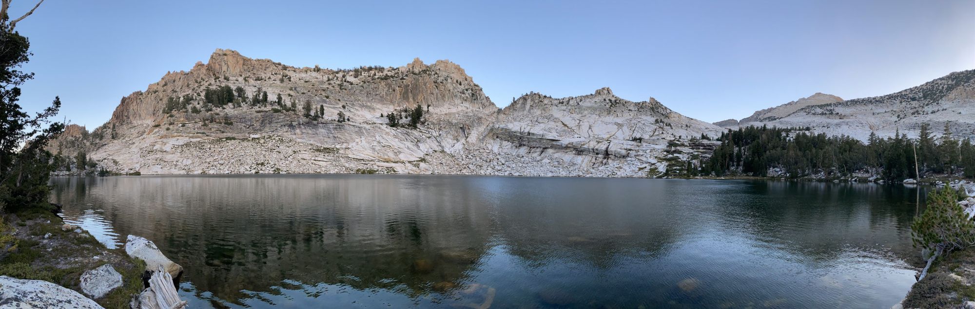
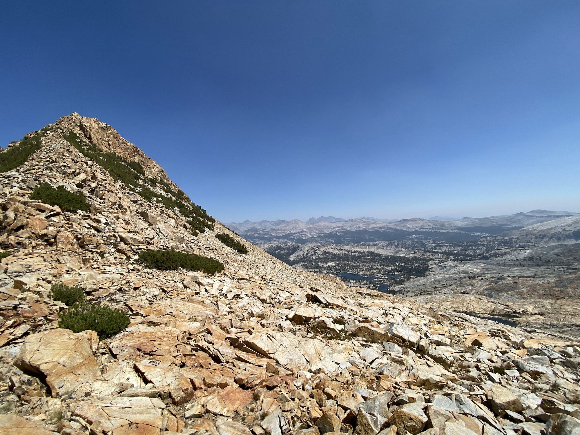
After filling up on water at Matterhorn Creek, we continued along the PCT for two more miles. Finally, we left the trail and continued along Wilson Creek through sparse forest. When we reached the top of the climb, a saddle above Tallulah Lake, we were greeted by expansive views of Slide Canyon and the smaller drainages leading into it.
We walked around the headwaters of Tallulah and began descending towards Camp Creek. The terrain made for easy walking with only a few steeper sections that we had to navigate. The walk down Camp Creek was mostly in the forest. We got cliffed out once when we got too close to the creek, but other than that, the way down to the confluence of Piute Creek was pleasant.
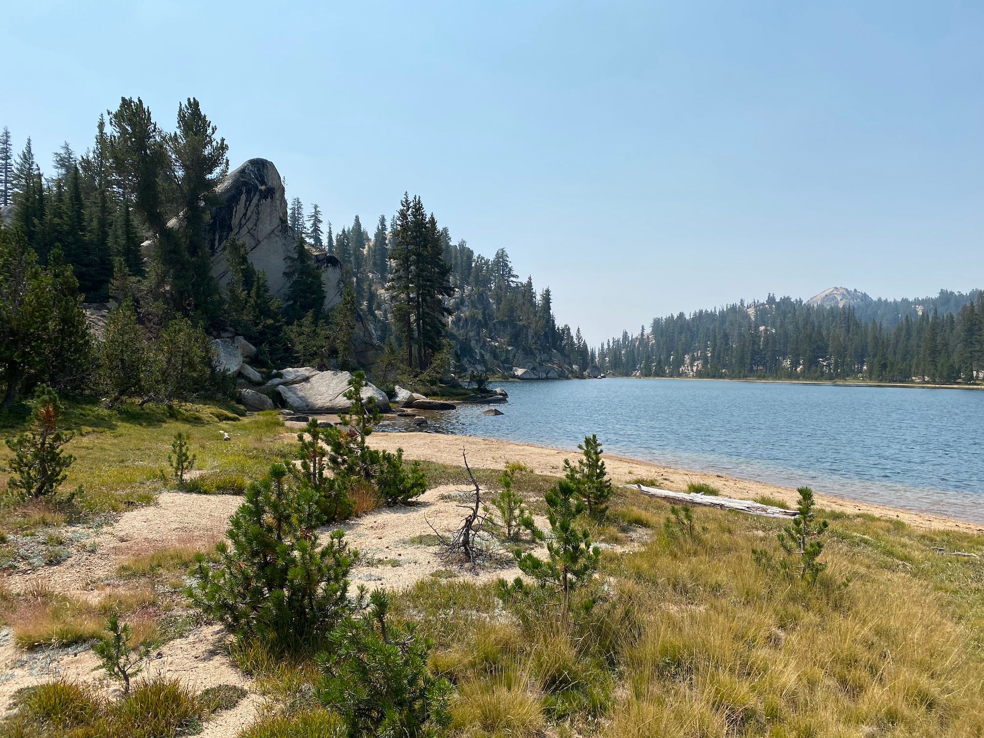
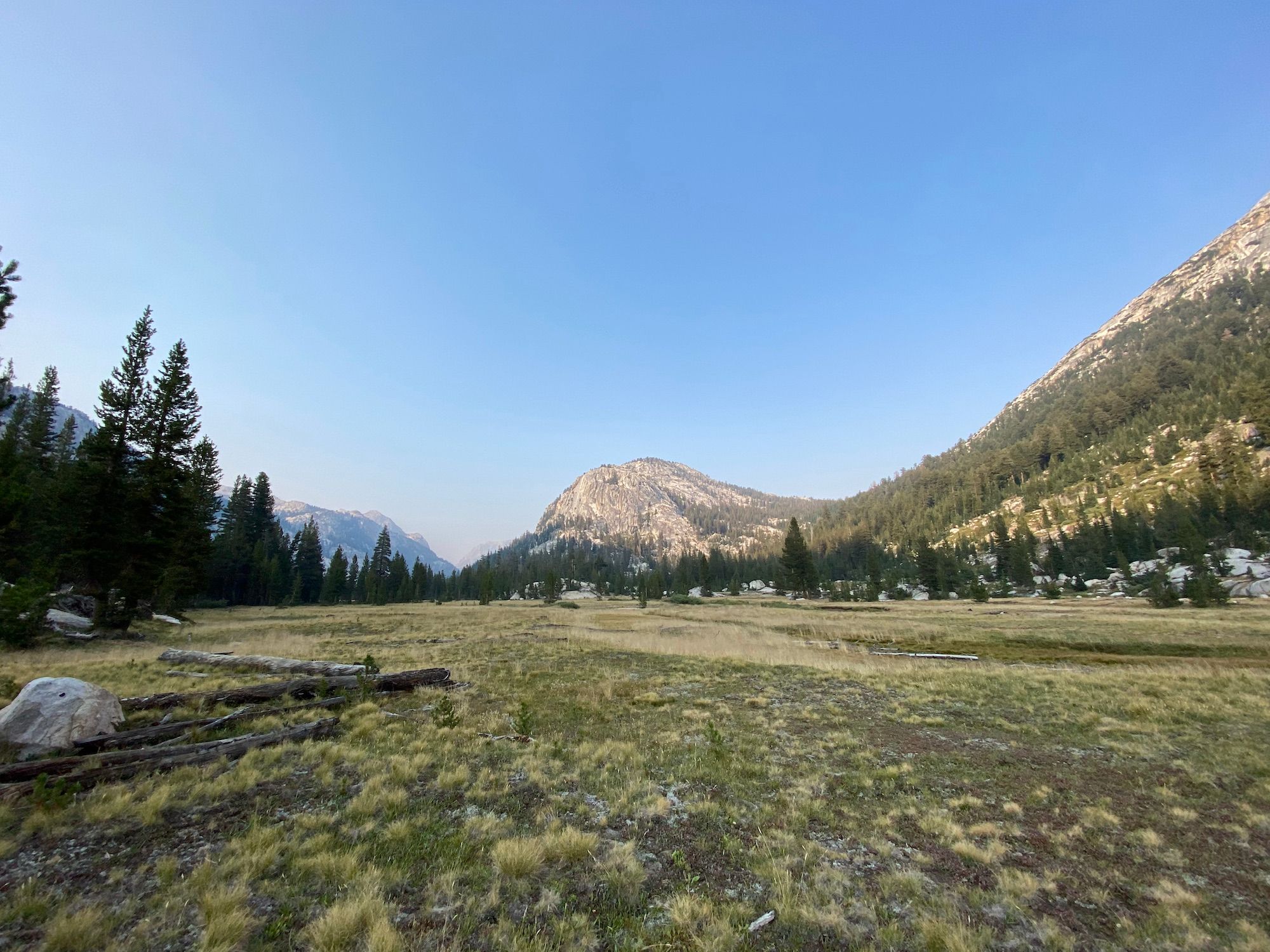
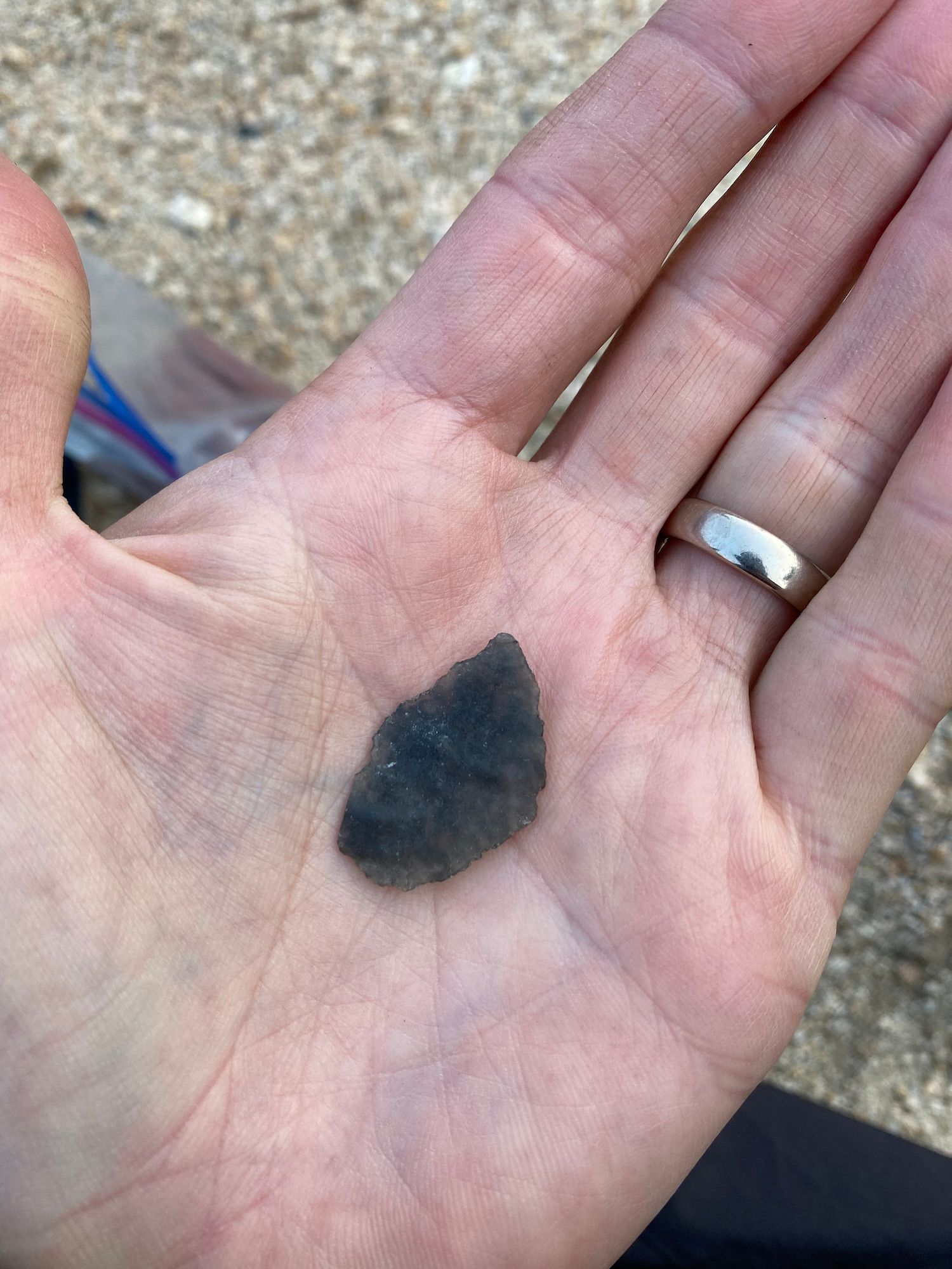
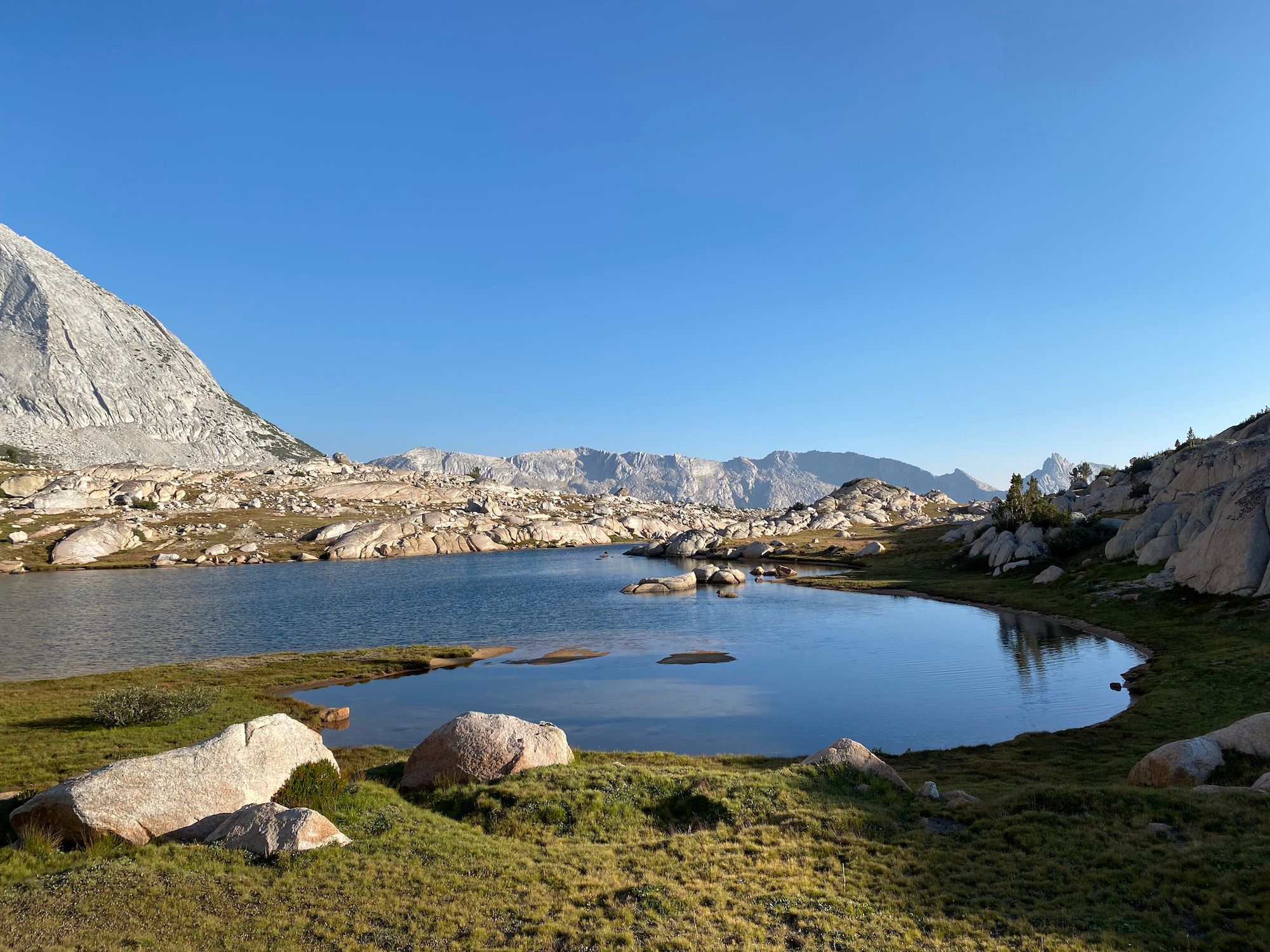
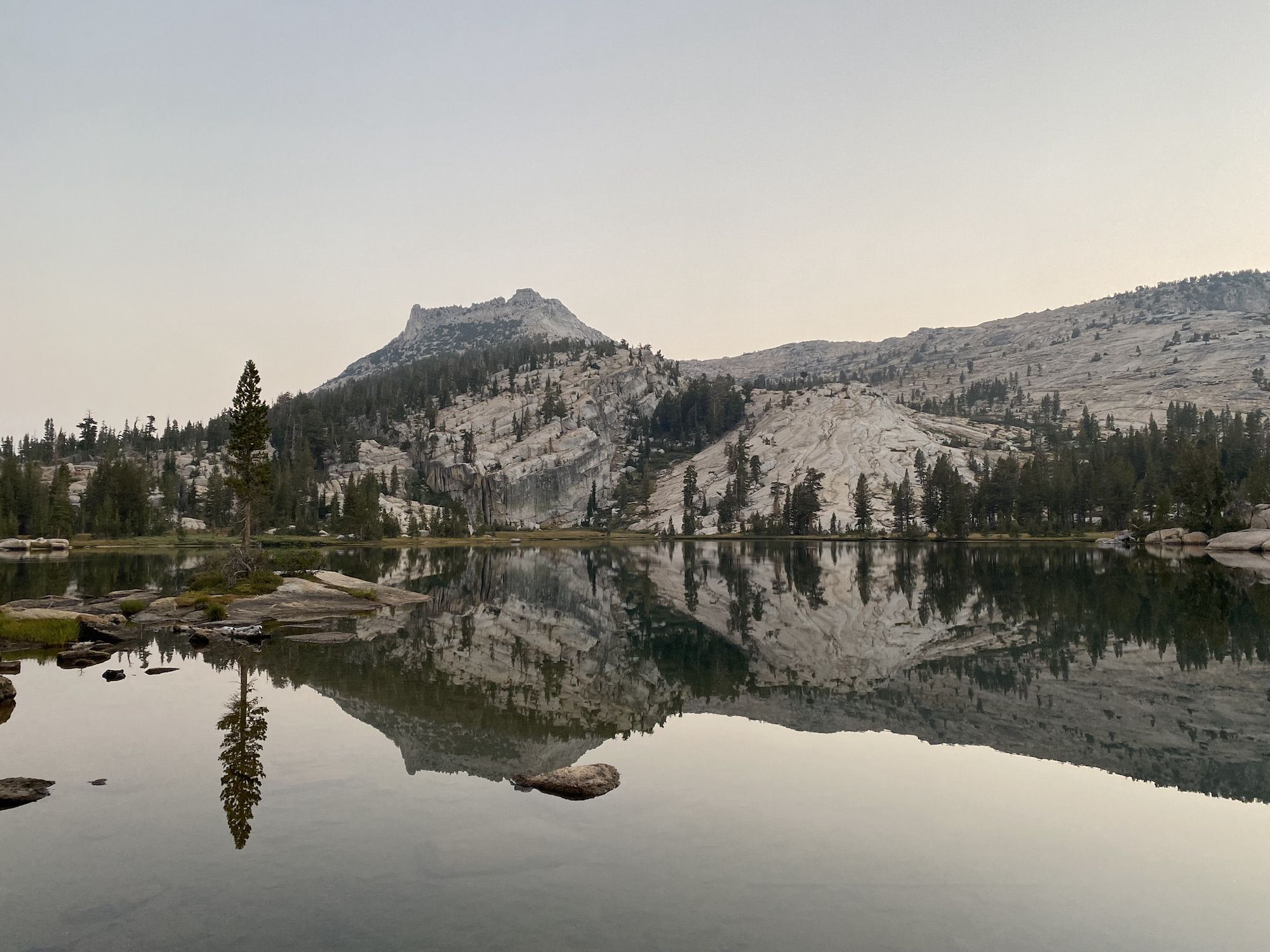
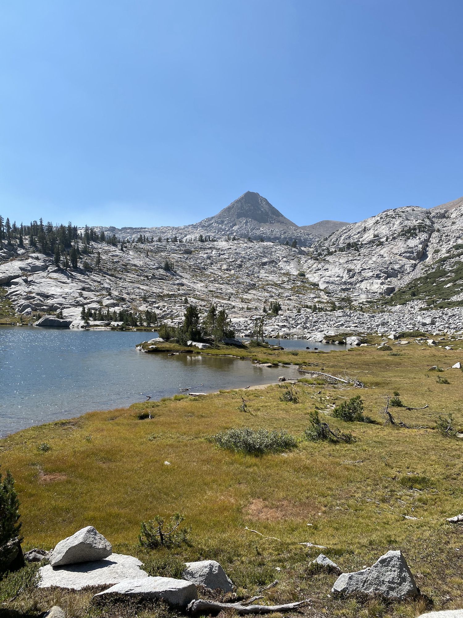
Once we made it down to the meadow at the bottom of Slide Canyon, we started looking for a campsite. We walked up along the creek for about 10 minutes before finding a spectacular campsite with views of Bath Mountain and easy access to water.
The sun had set below the mountains as we made dinner. Even though we were well off the beaten trails, it was apparent we weren’t the first campers here. I found some old broken arrowheads in the sand right by my sleep setup.
Day 3: Slide Canyon to Spiller Canyon
We thought we had set up camp high enough off the bottom of the meadow to avoid condensation but woke up with our quilts soaking wet on the outside. Fortunately, the waterproof fabric worked as we had all slept dry on the inside.
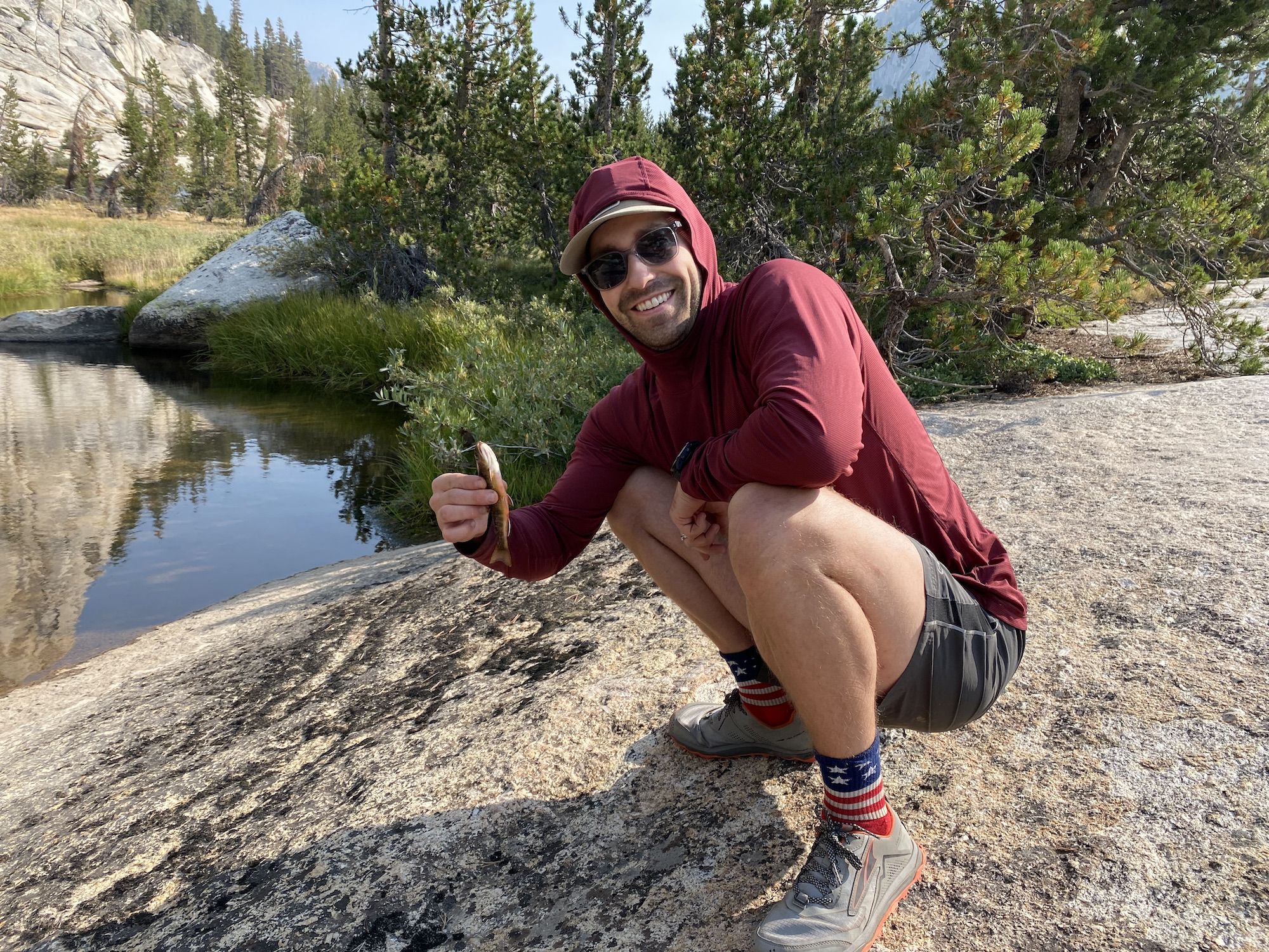
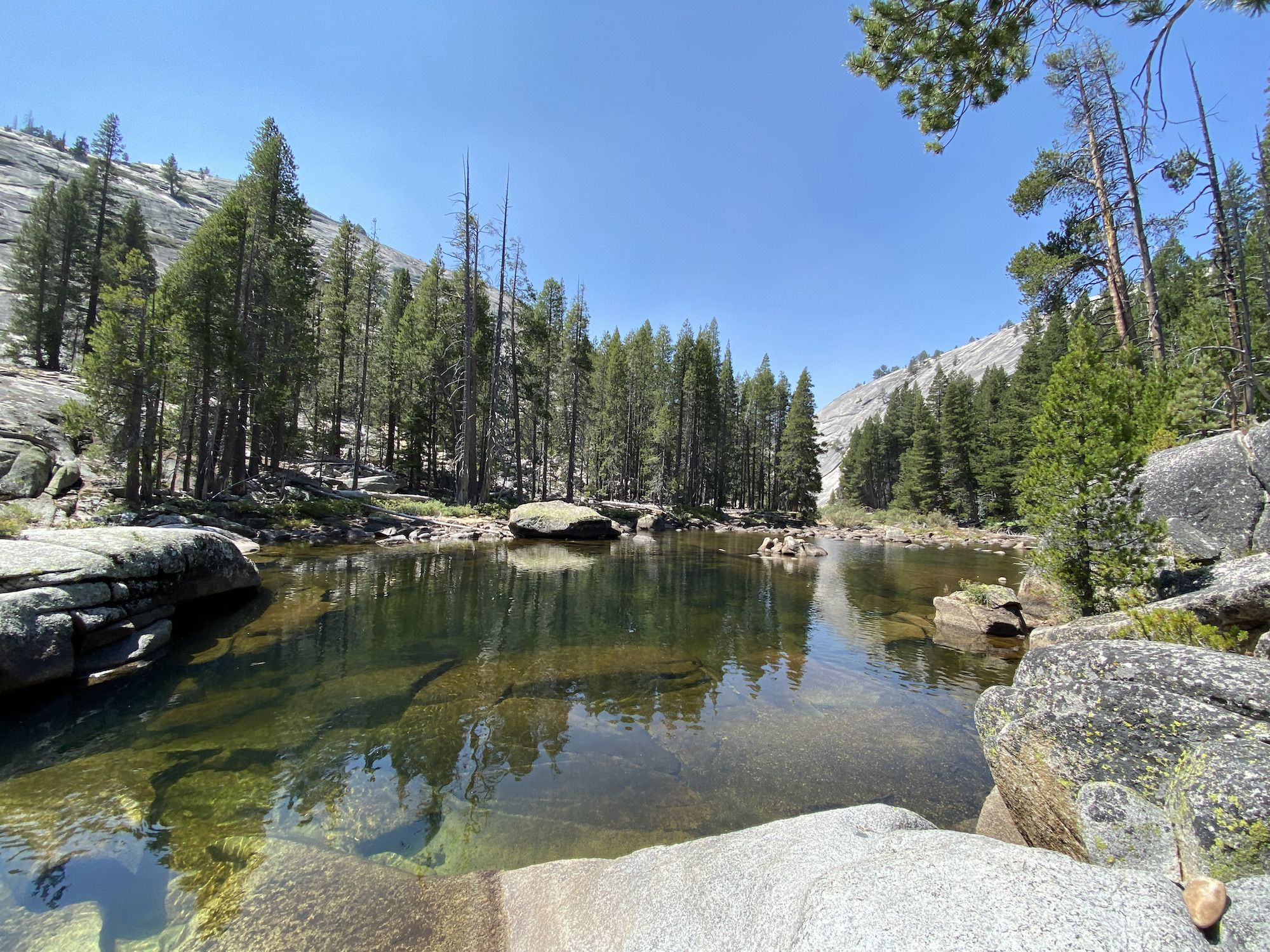
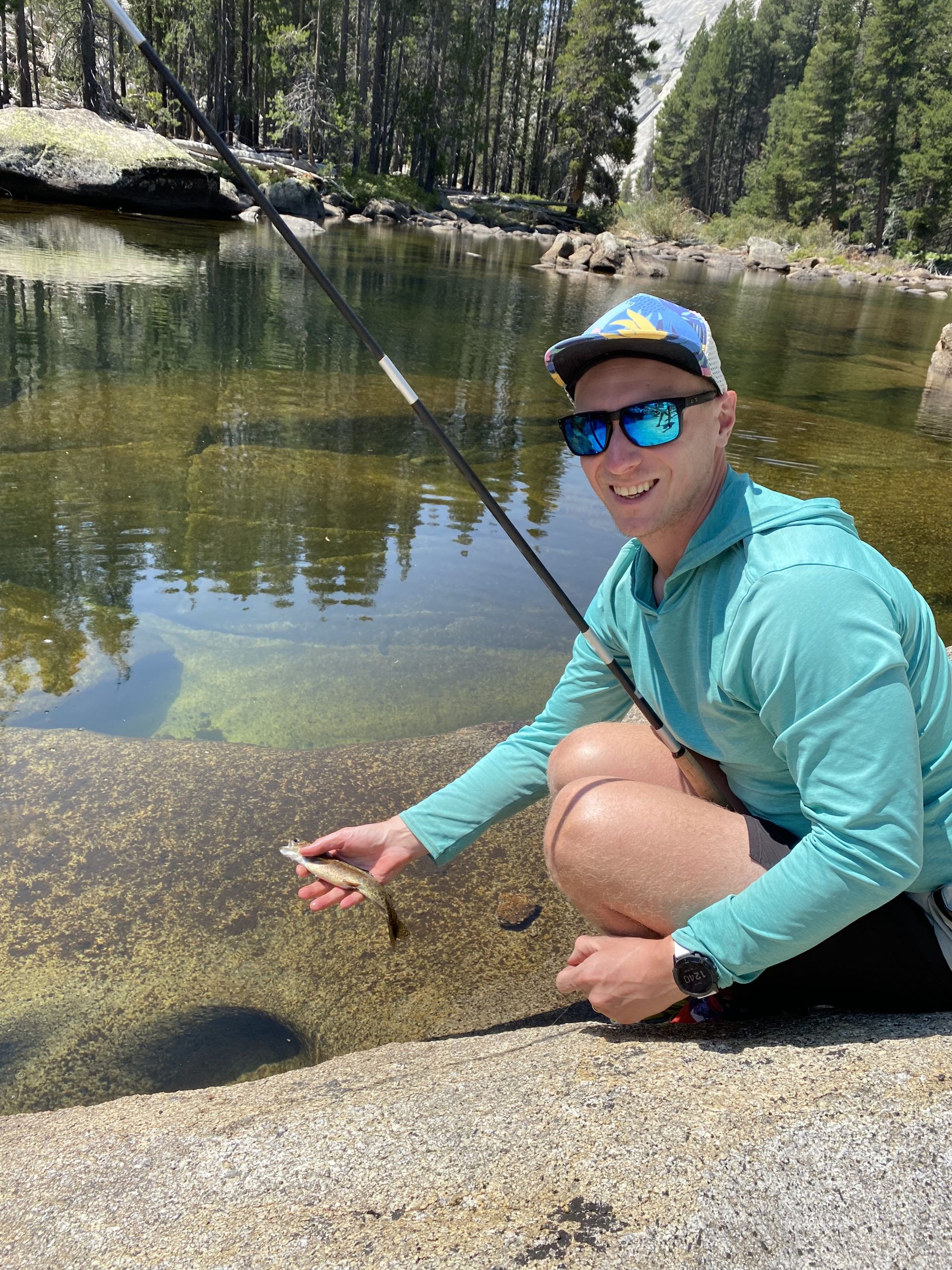
The sun hit our camp early, so we laid out our gear to dry and headed down to the creek for some fishing. The creek was teeming with brook trout. We all caught fish almost on every cast. We caught so much fish that we ended up packing our gear after a short while as there really wasn’t much of a challenge.
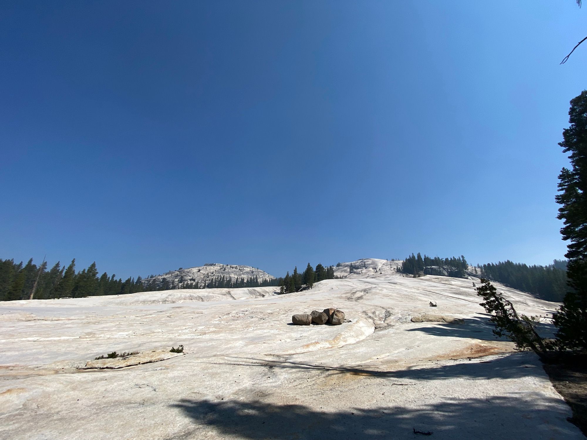
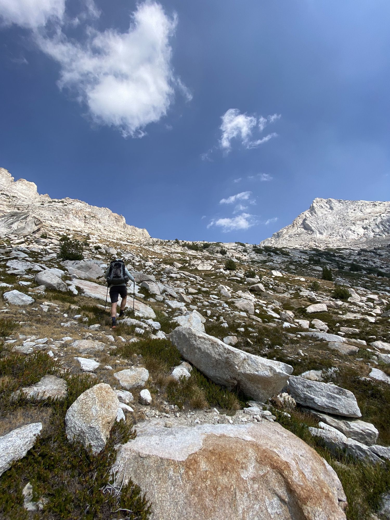
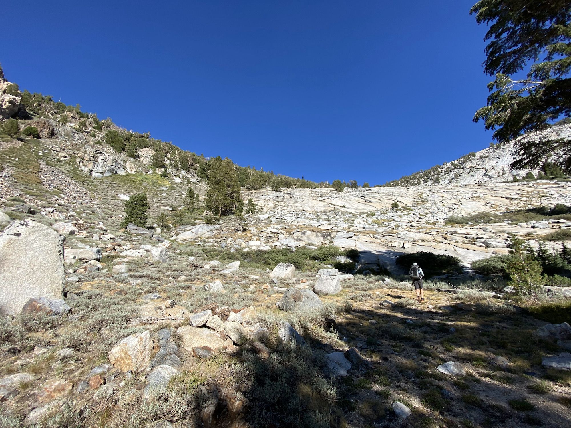
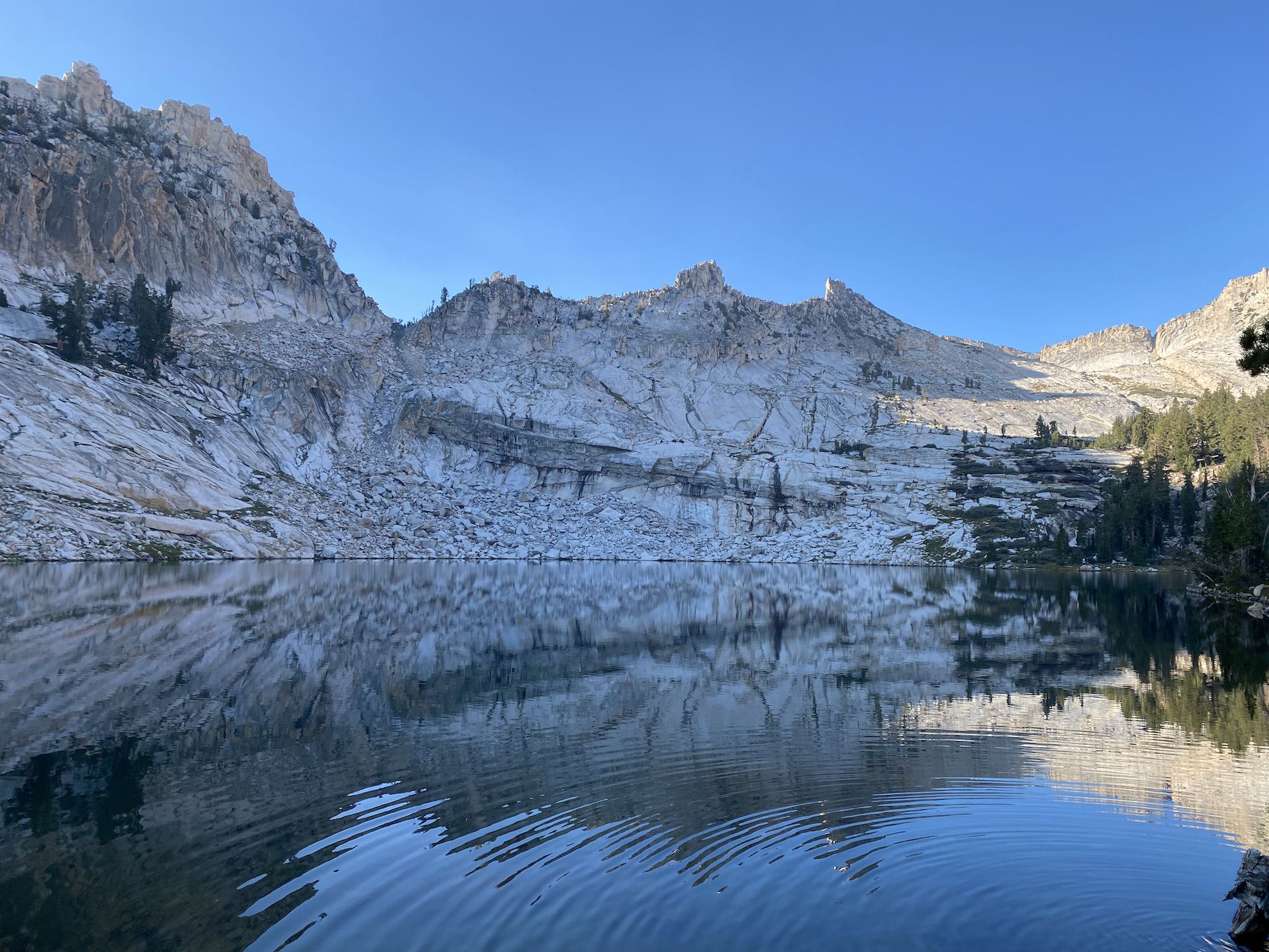
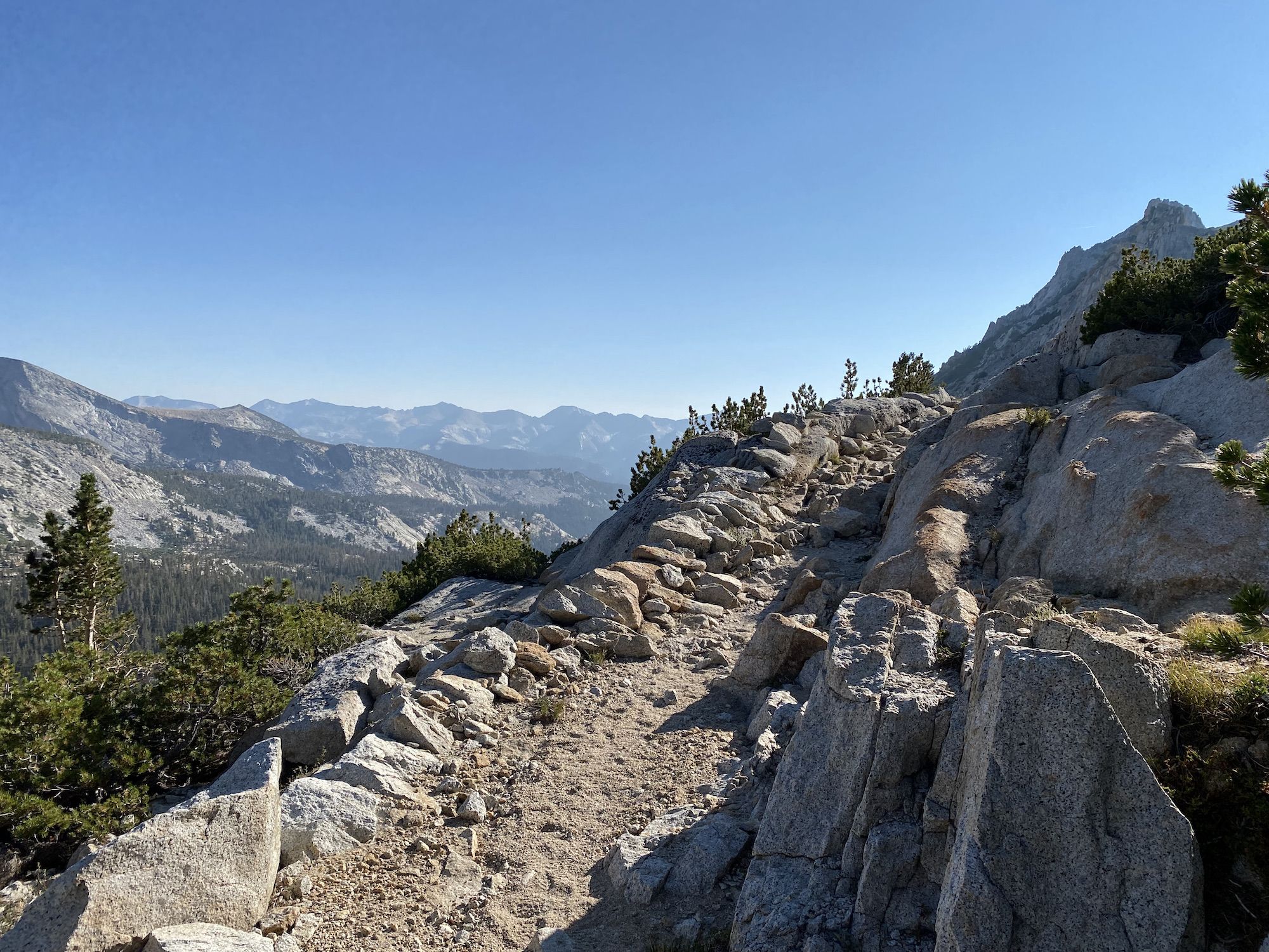
With our gear dry, we headed up Slide Canyon to connect with the Burro Pass Trail. The walking was easy, through open meadows and sparse forest. To get around the big rock slide that has given name to the canyon, we took a small use trail on the opposite side of the canyon.
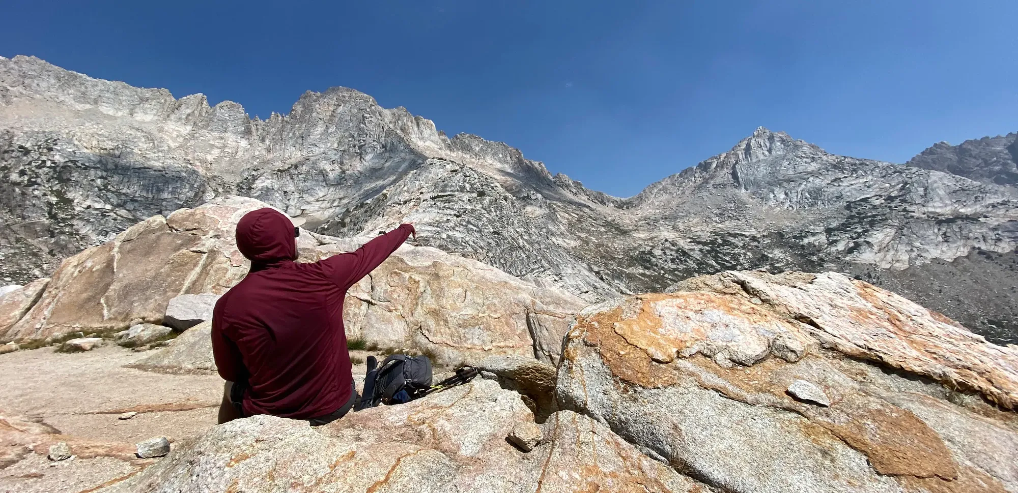
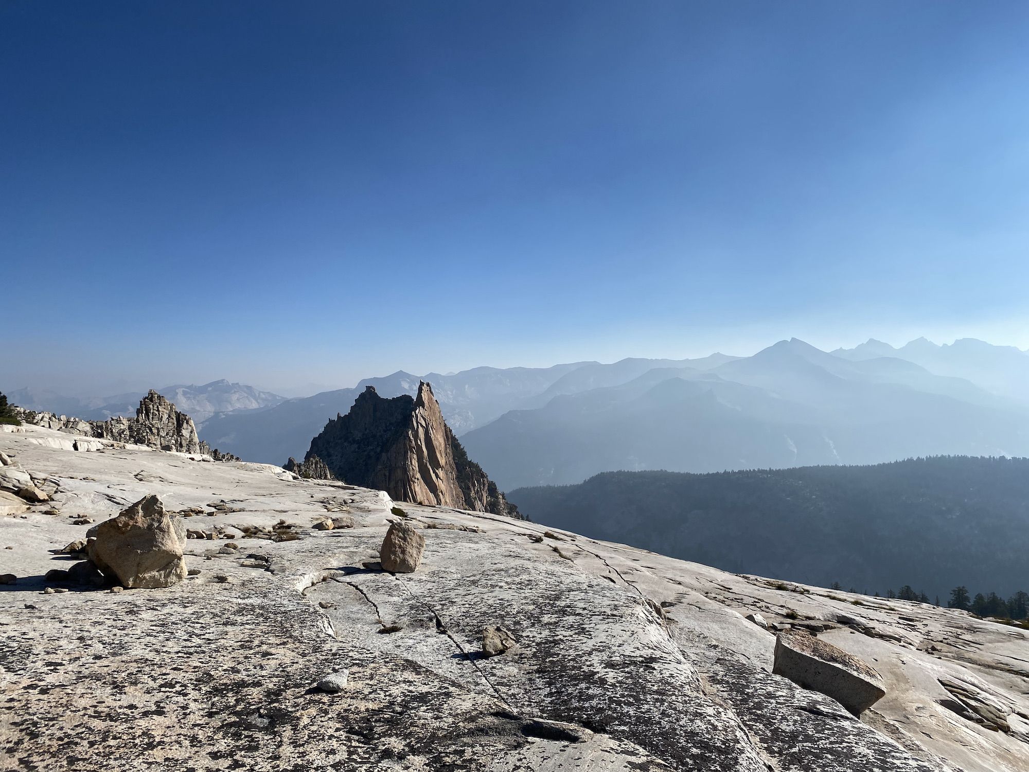
The stretch of trail leading up to Burro Pass was one of the most beautiful of the trip. We met several hikers coming down from the pass. Each one said we’re in for some spectacular views. They weren’t lying. We walked through open meadows with small streams, surrounded by tall, jagged peaks on every side.
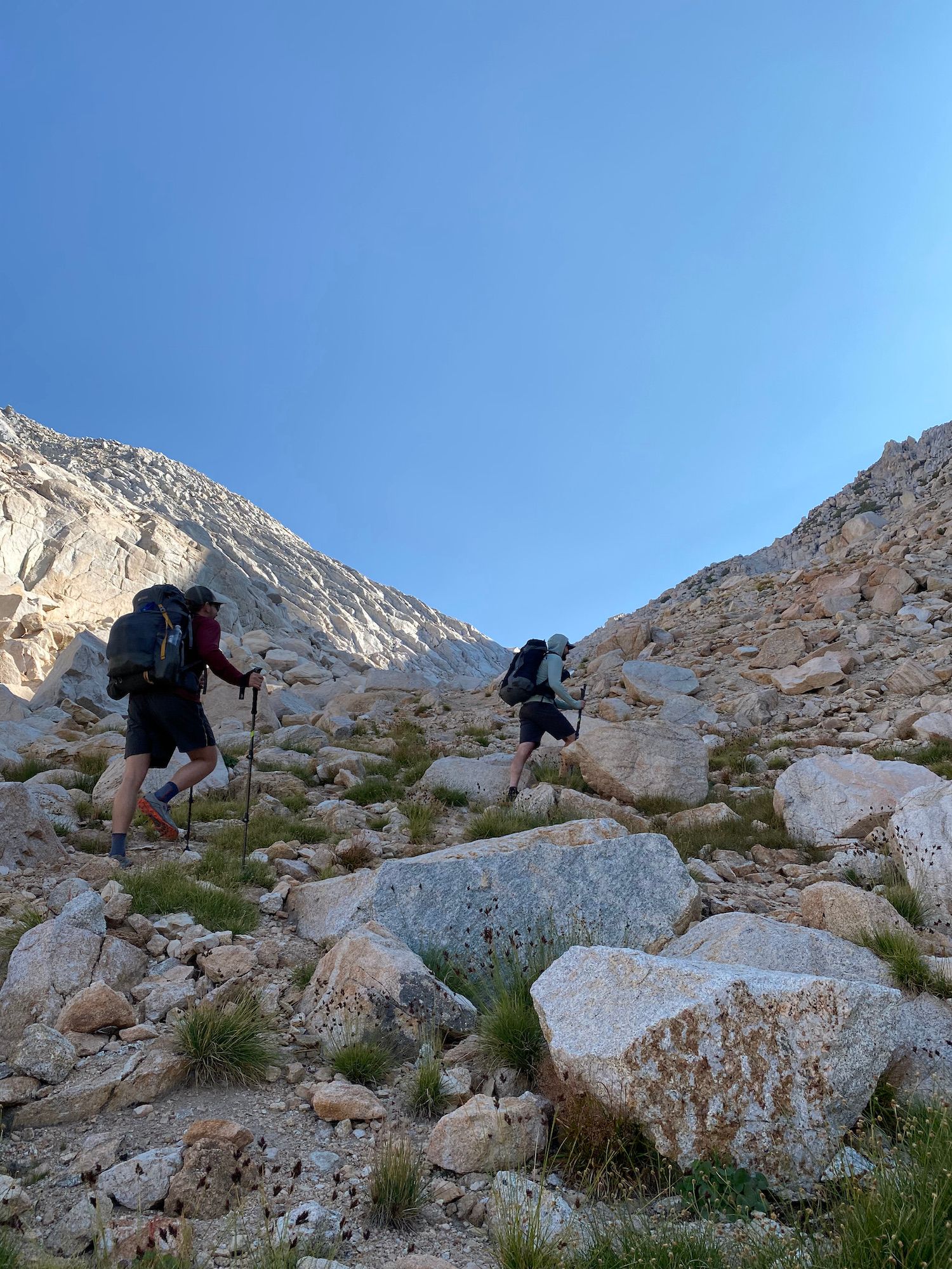
Once we were up on Burro Pass, we had a choice to make: go over Matterhorn Pass or continue down Matterhorn Canyon and cut over to Spiller Canyon farther down. The weather looked good, and we all felt up for the challenge of Matterhorn Pass, so we decided to go for it.
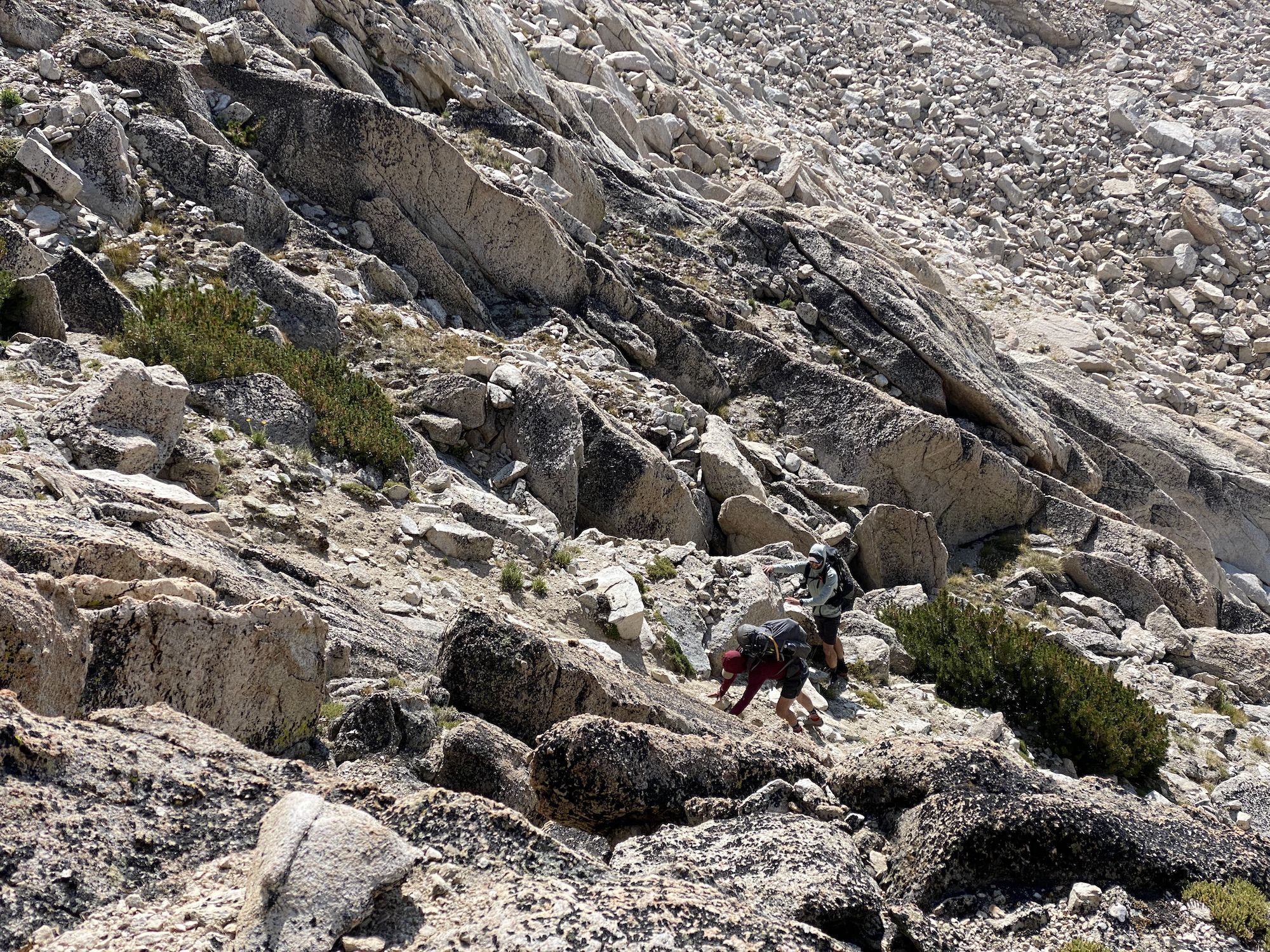
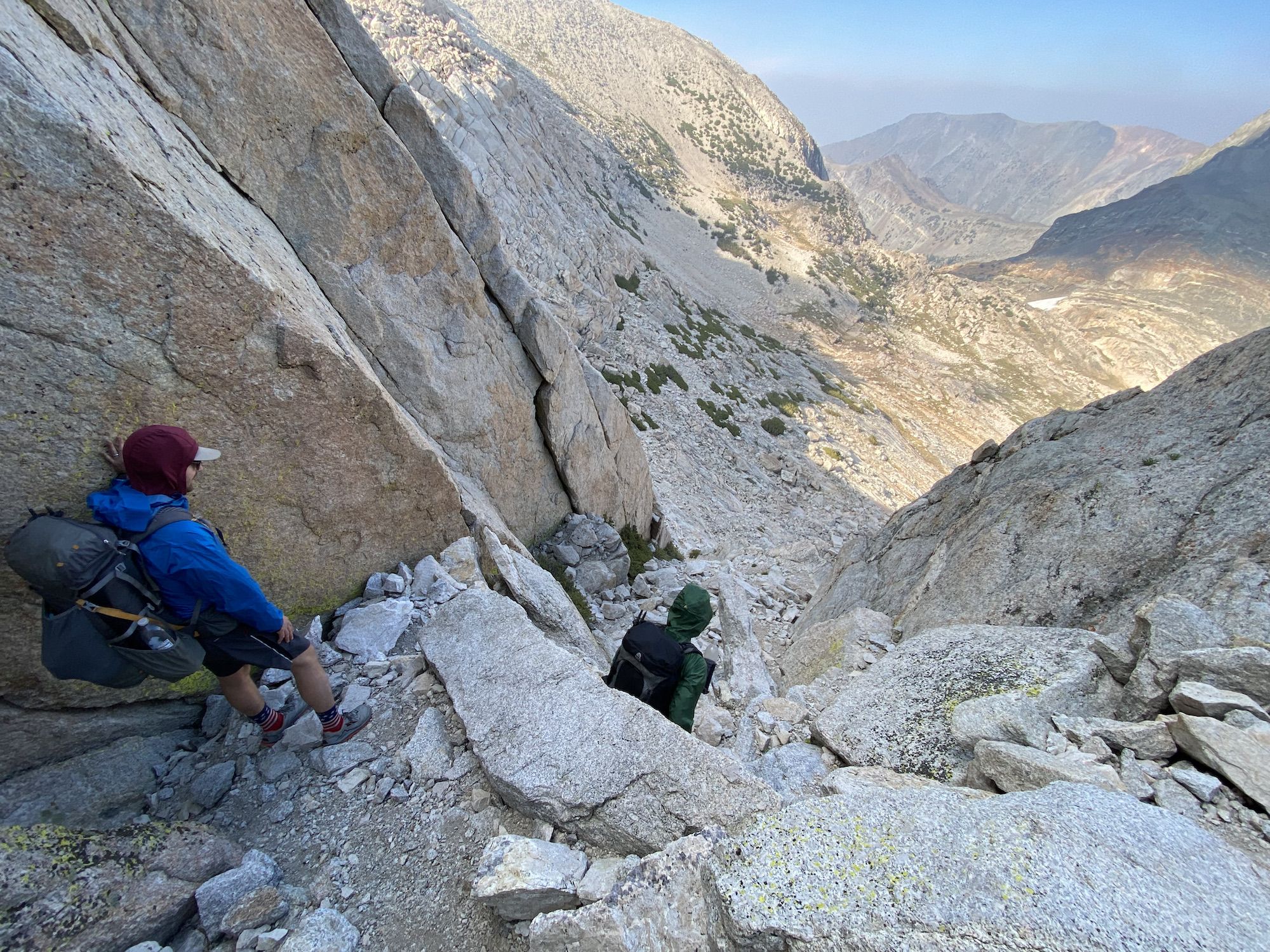
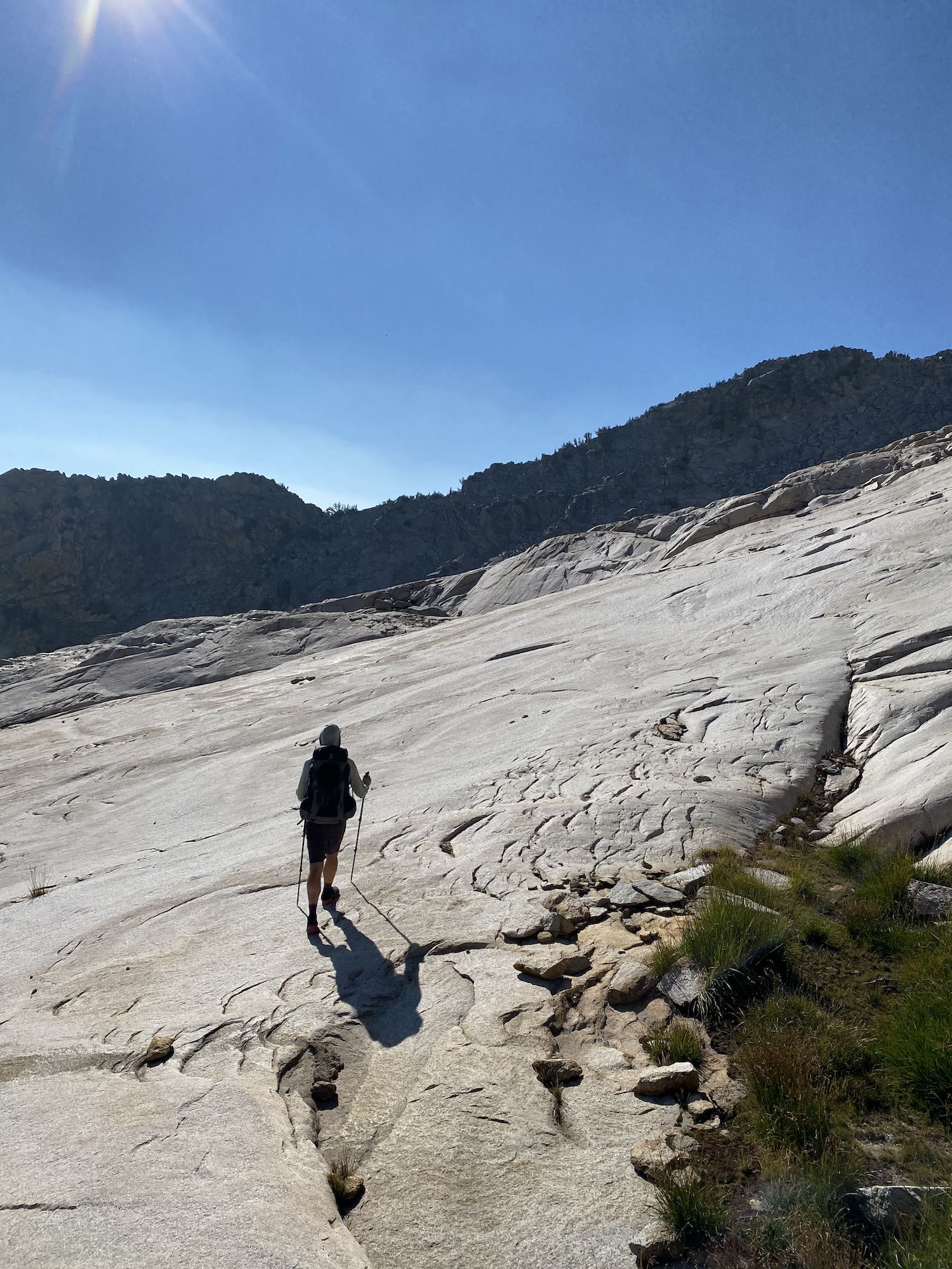
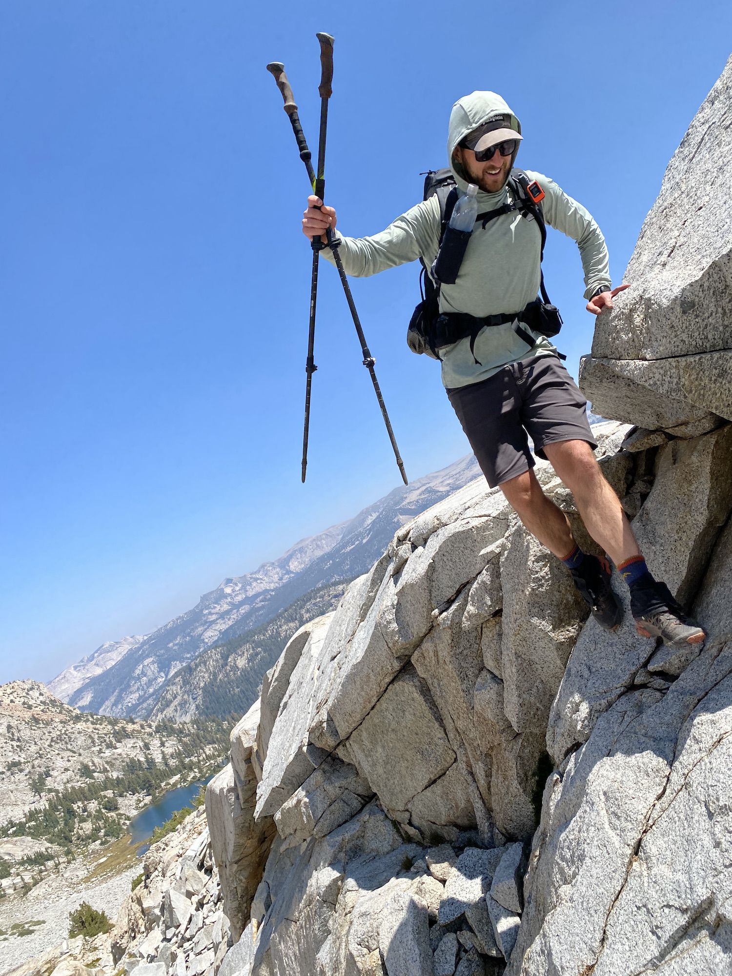
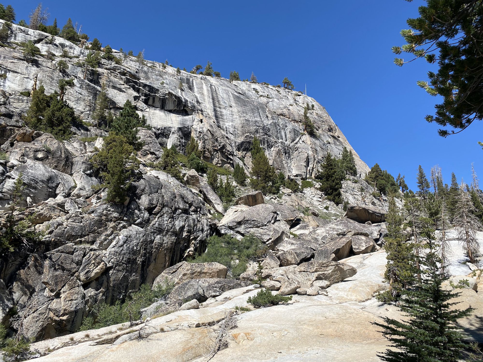
To get there, we needed to go down a few switchbacks to get around a steep granite slab. From there, it was more or less a straight shot up to the pass. The ascent to the small bowl right under the pass was steep but not technical. The last 200 feet were steeper—some sections required using your hands to get up, but nothing too sketchy.
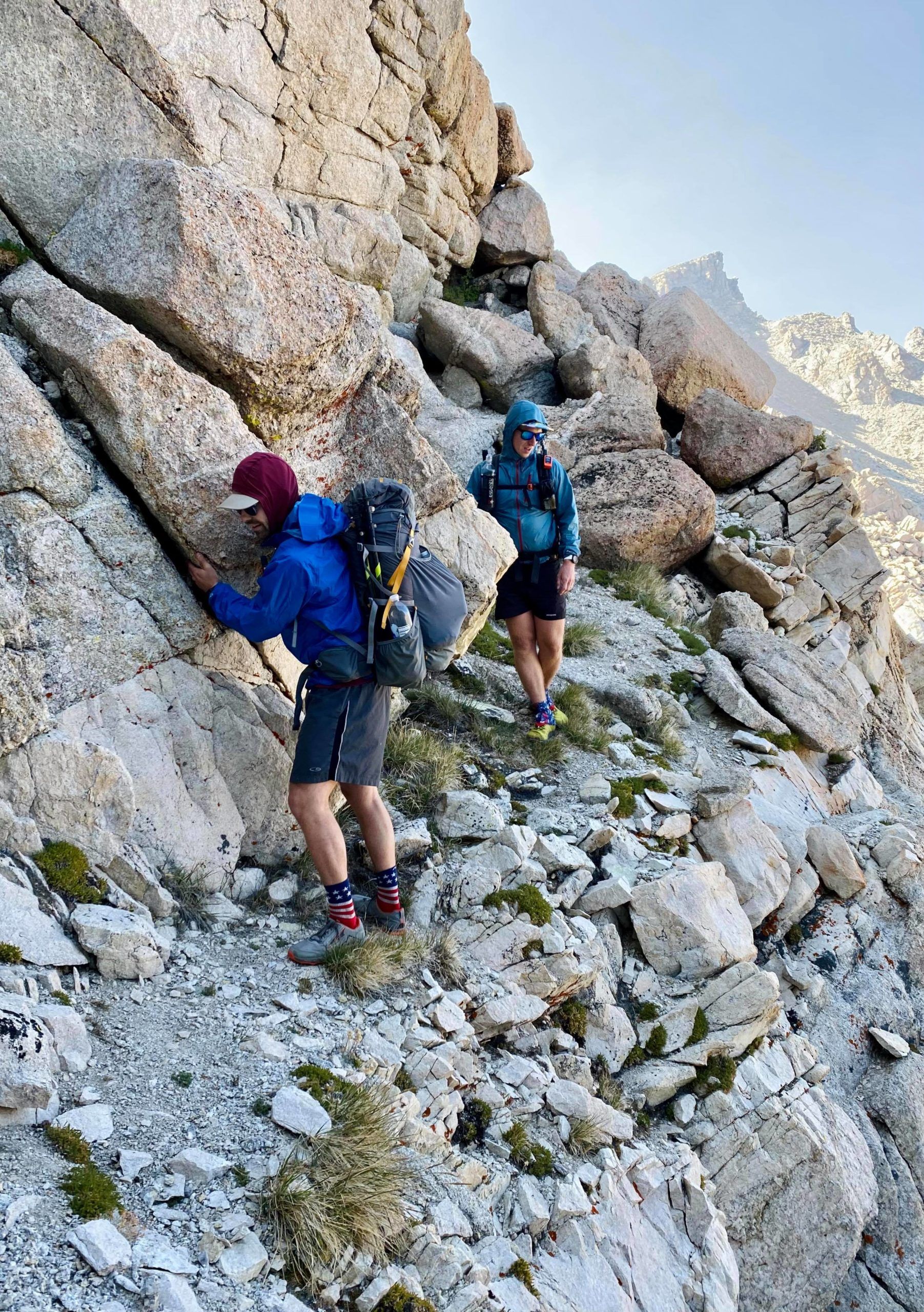
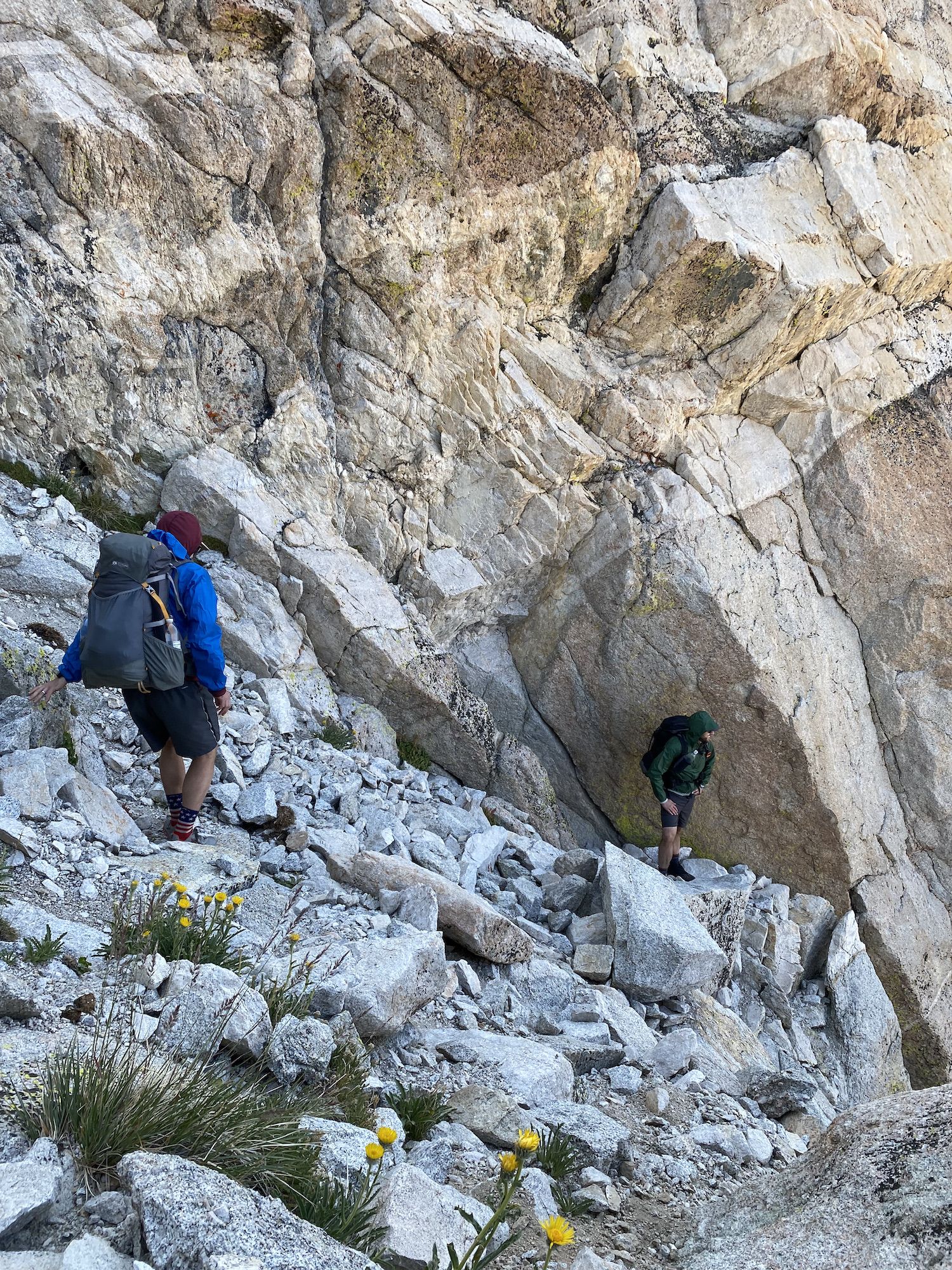
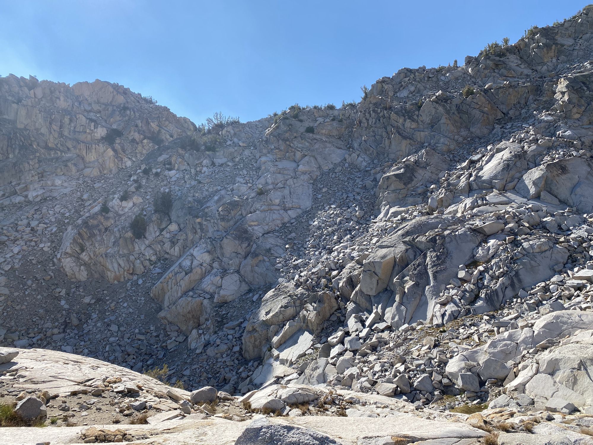
The wind was howling at the top. We stopped for a while to take in the views and figure out our way down. Thankfully, we had Skurka’s notes, as the easier way down is not at all apparent from the top of the pass. We had to climb up another 40 feet to see the talus-filled chute we would descend.
The top of the downclimb was the most sketchy part of the trip. To get to the top of the chute, we had to walk a narrow ledge and get around a protruding rock. From there, the descent was steep but straightforward.
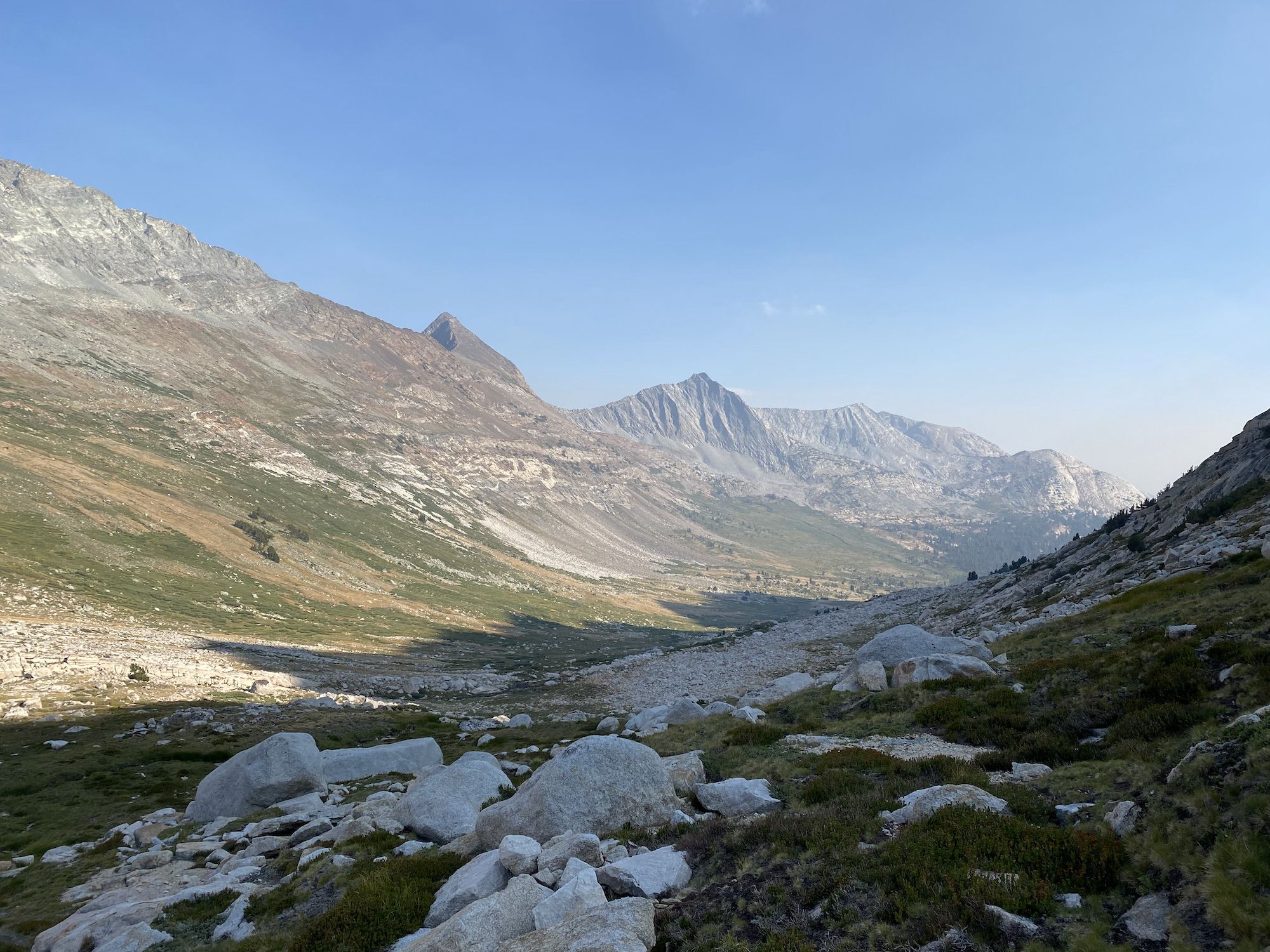
Once down the chute, we had spectacular views of Spiller Canyon. We descended to the creek and began walking south alongside it. We didn’t know exactly where we would camp, so we kept our eyes open for good spots. We still hadn’t found a good campsite as the sunset behind the mountains, so finally we settled on setting up camp on the eastern side of the canyon, a good 60 feet above the valley floor, nestled in trees, to avoid the condensation issues we had the previous night.
It was already dark when we had dinner. It didn’t take long for us to fall asleep.
Day 4: Spiller Canyon to Young Lakes
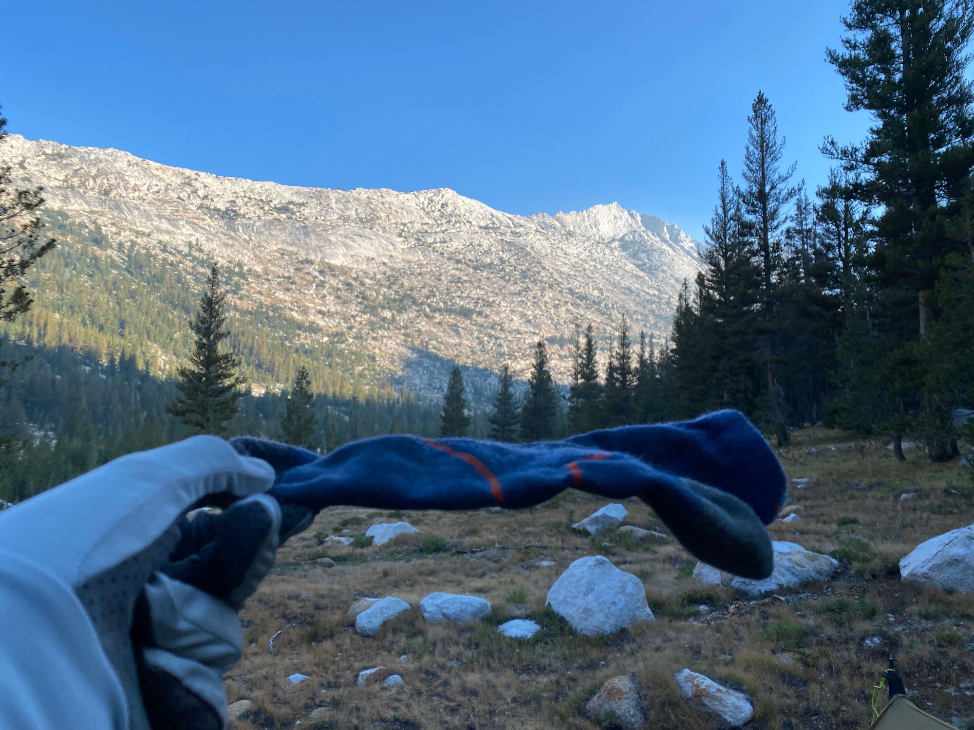
The night was cold. The socks I had washed and put out to dry on my tarp line had frozen solid overnight. I removed my tarp so I could eat breakfast in the warmth of my quilt.
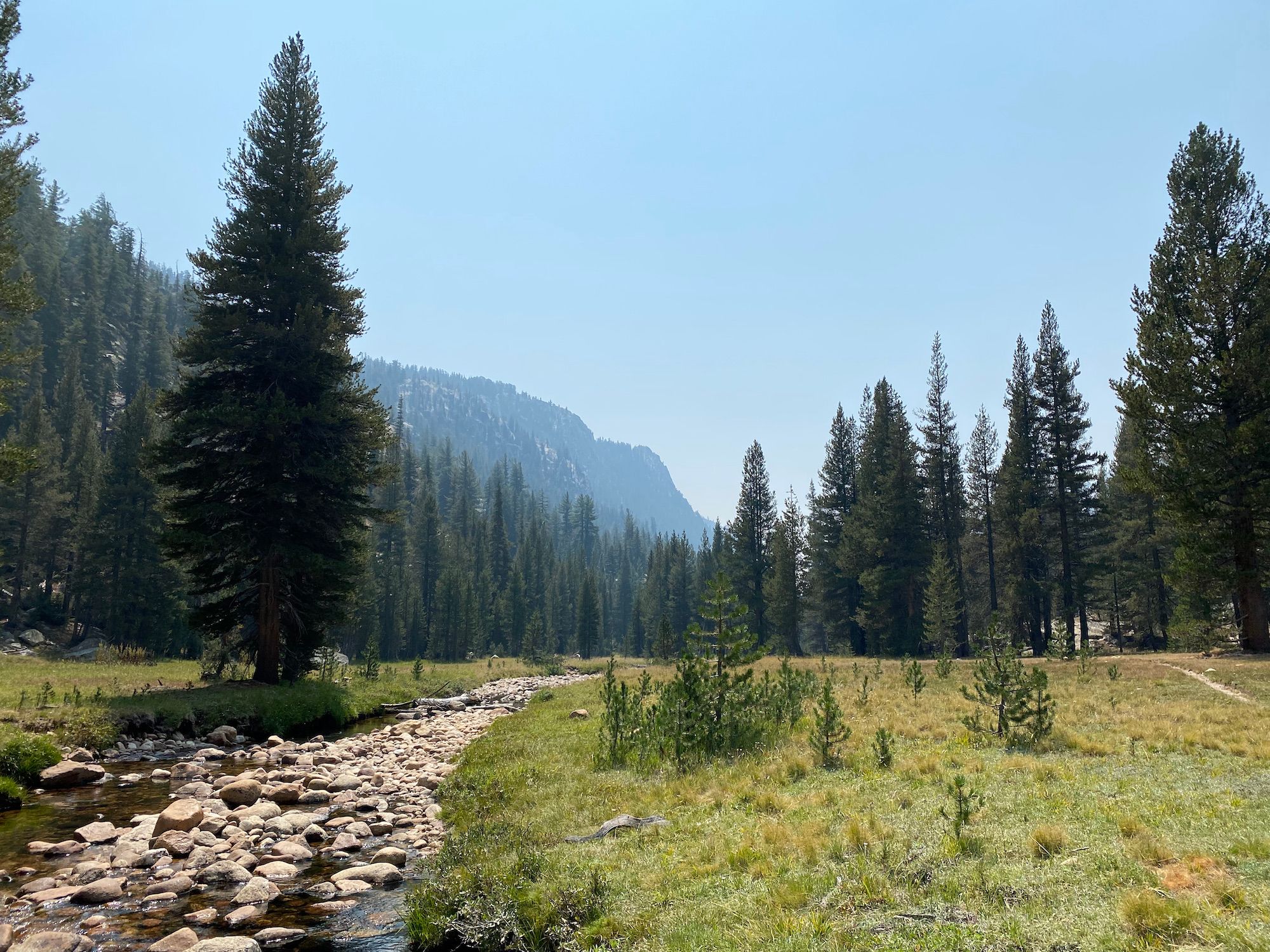
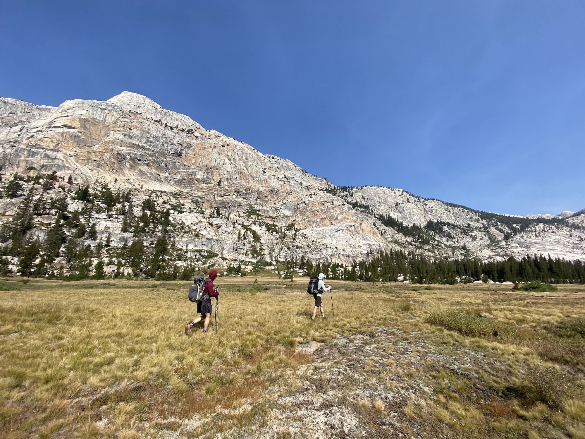
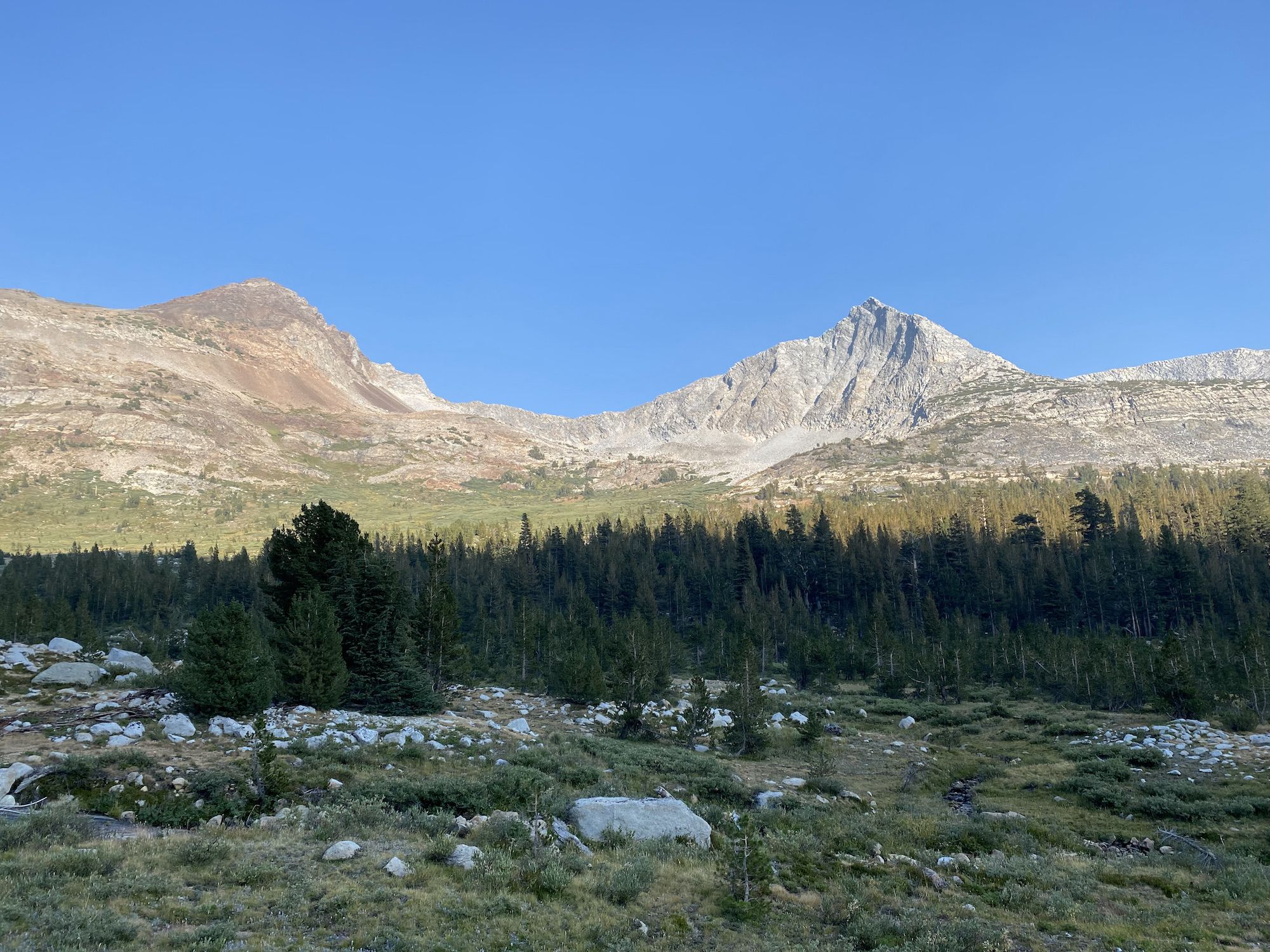
After breakfast, we packed up camp and continued south along the canyon. Except for a few areas of blowdown, the going was good: open meadows and sparse forest.
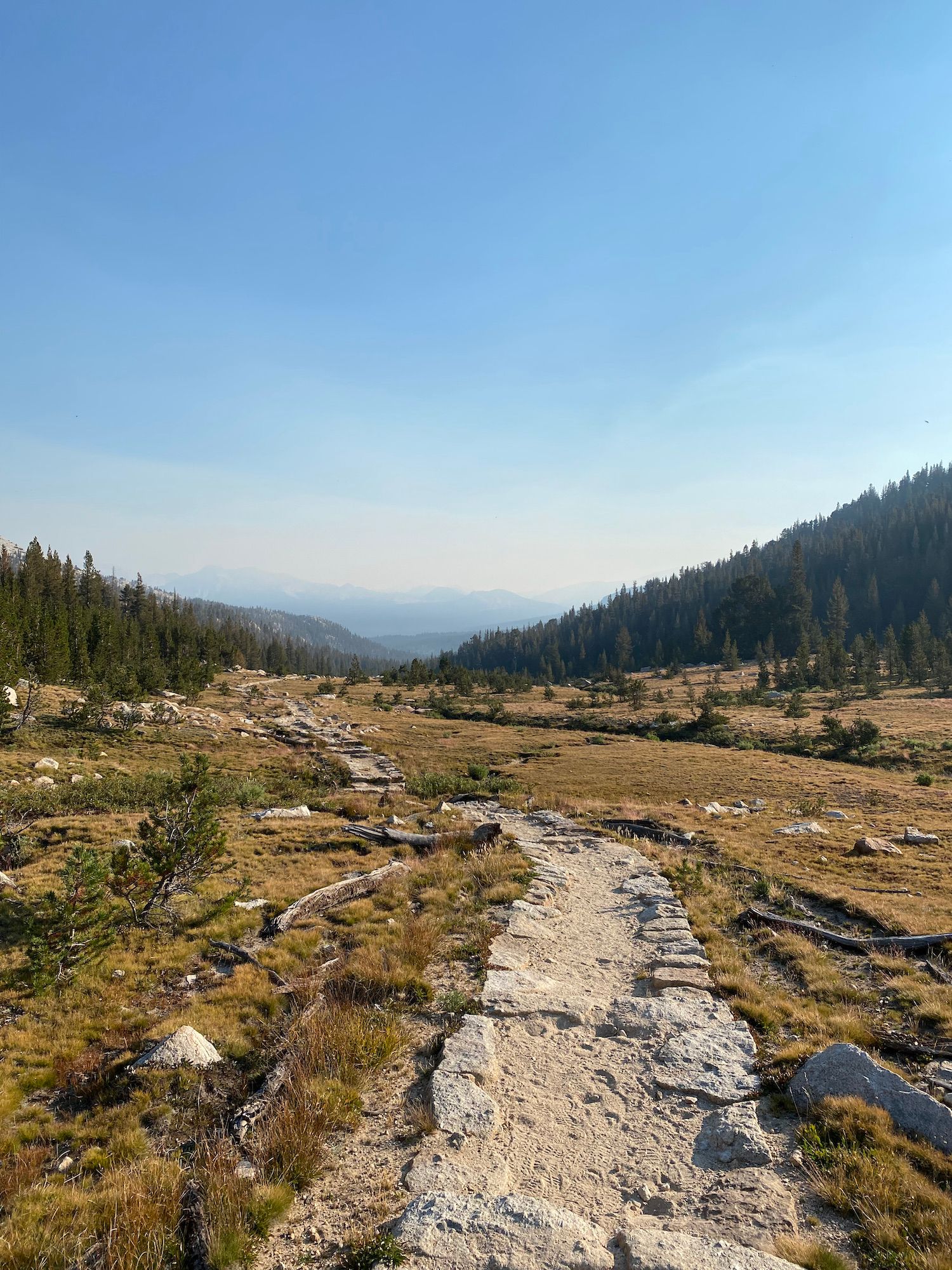
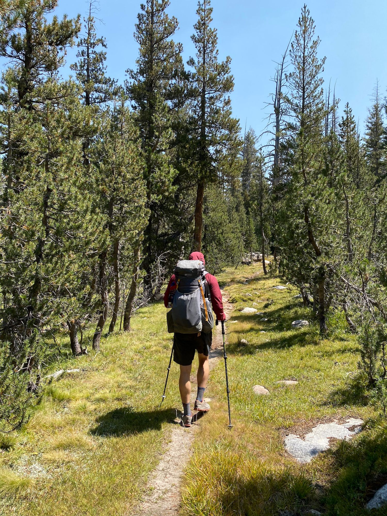
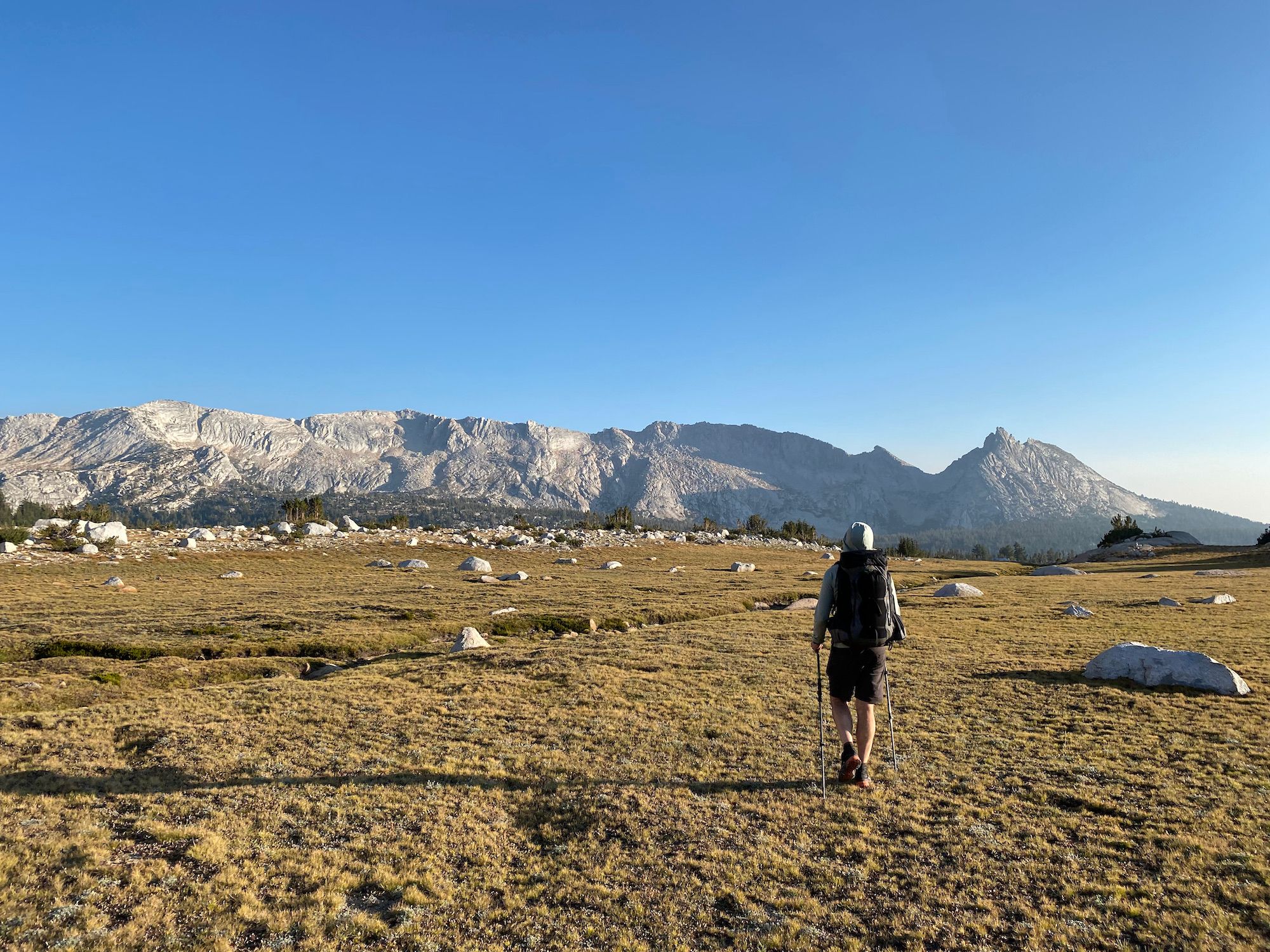
We rejoined the PCT and backtracked a few miles before turning onto the McCabe Lake trail. Back on the trail, we walked in silence, almost on autopilot. Cross-country travel requires constant vigilance and route finding. Back on the trail, all you have to do is put one foot in front of the other, leaving more time for letting your thoughts wander.
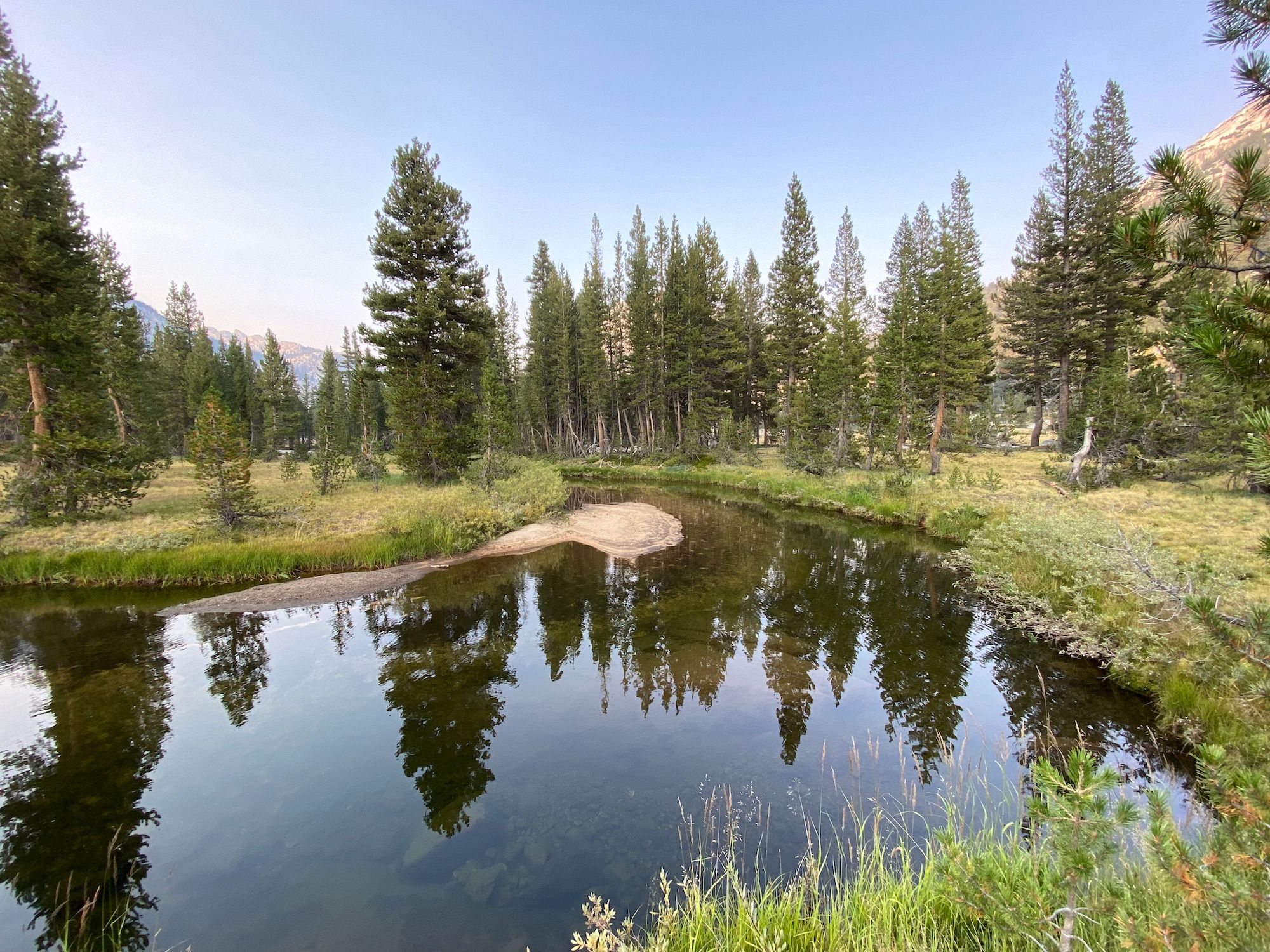
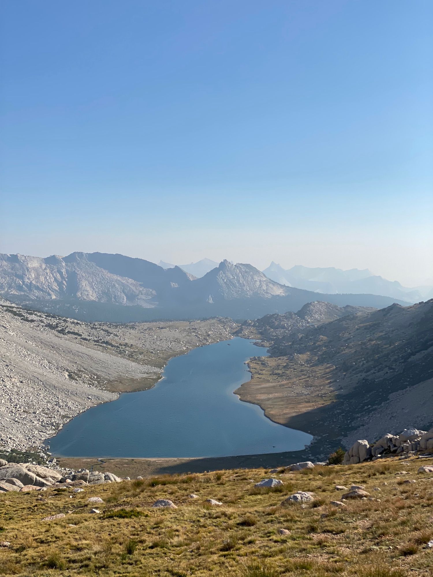
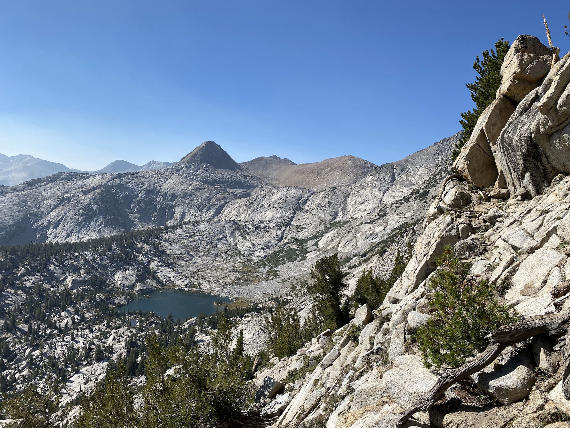
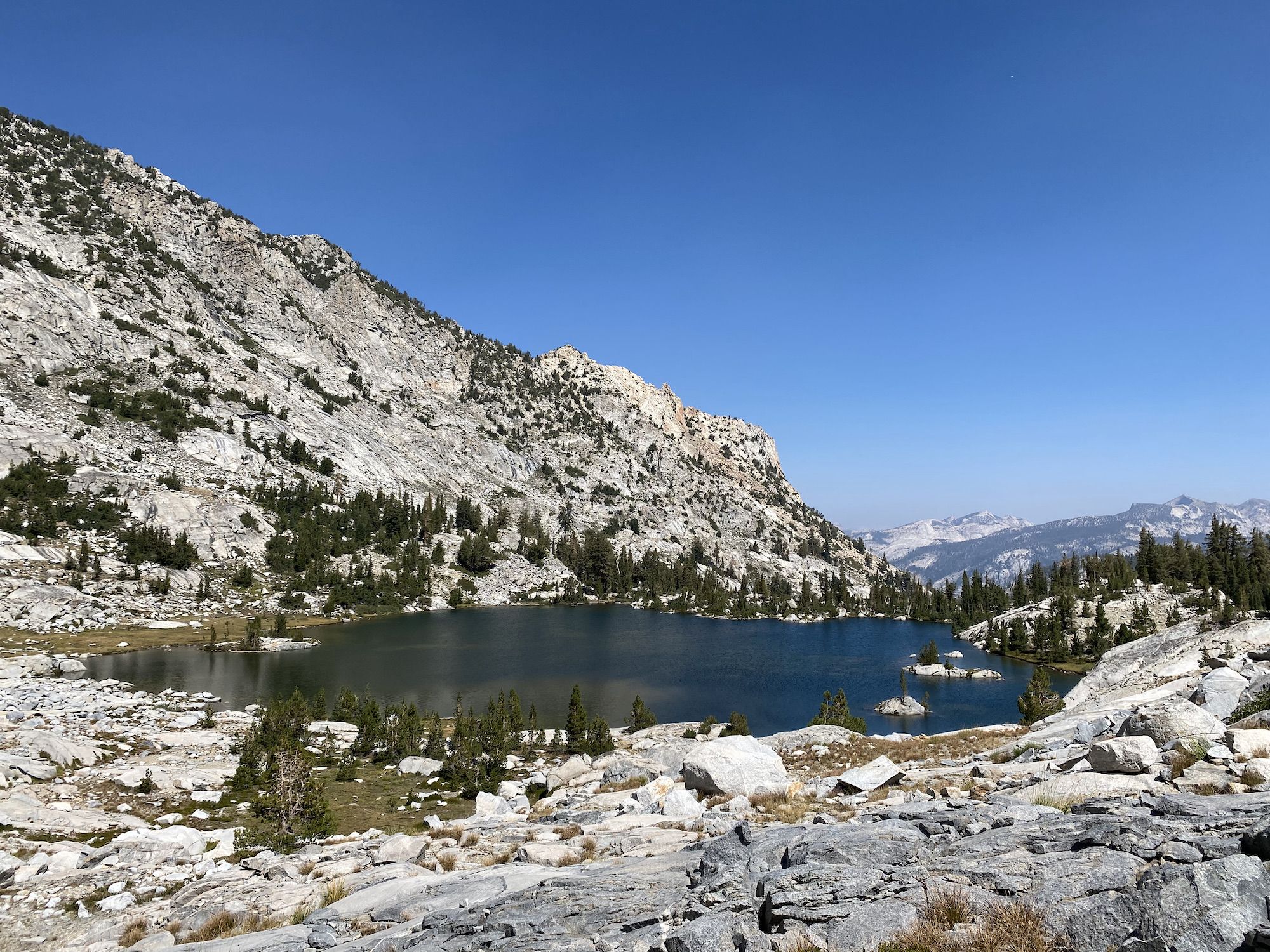
We stopped for a coffee and swam at the lower McCabe Lake. We realized we had walked past where Skurka suggested heading off-trail along the creek towards the upper lake. So, instead of backtracking the whole way, we followed the contour around the mountain, following game trails. Based on the notes, we avoided some thick willows and dark timber that we would have had on the “official” route.
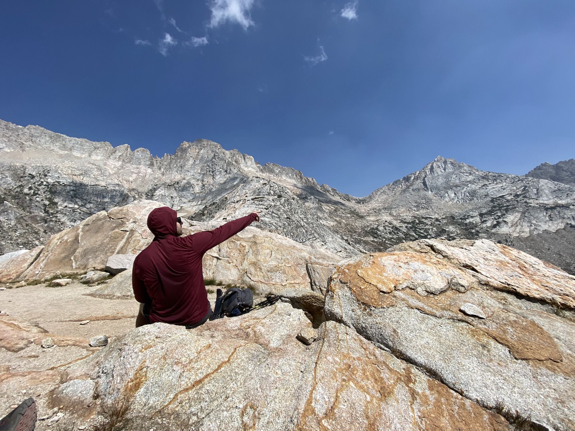
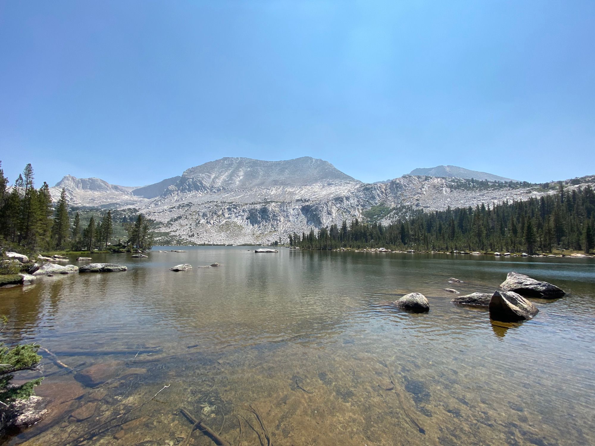
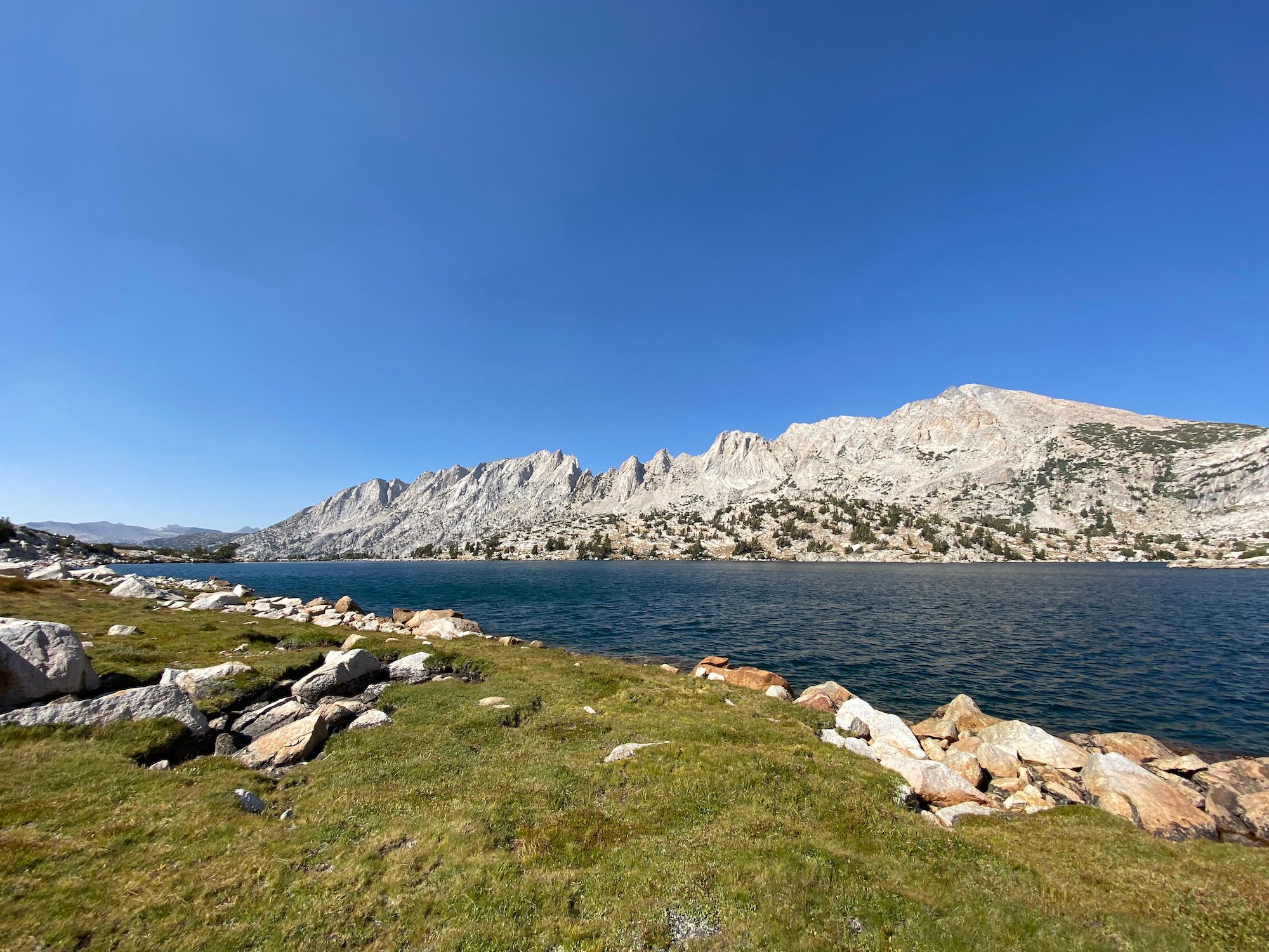
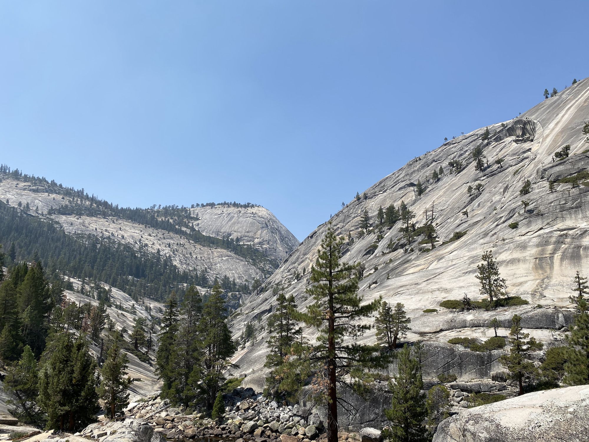
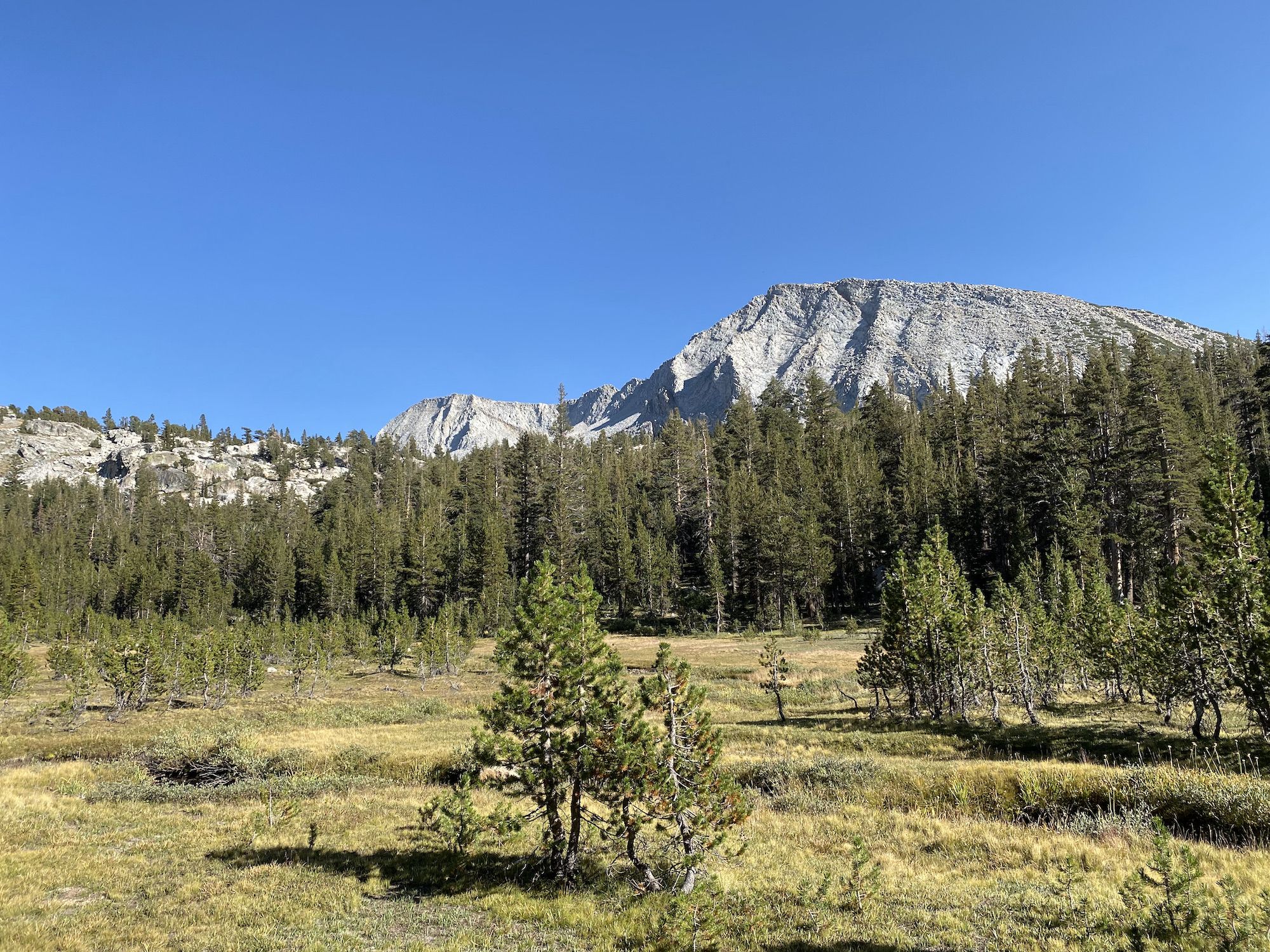
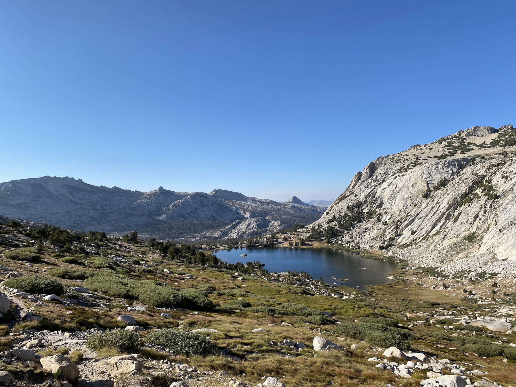
Finally, at the upper McCabe Lake, we walked around the shore to get below Don’t be a Smart Pass. From there, we had another 700 feet to climb to the top of the pass. Compared to what we had done at Matterhorn Pass, the terrain was easy, and we started to have our trail legs and lungs. We summited the pass in 25 minutes. The view of Roosevelt Lake from the top of the pass was one of the most spectacular of the entire trip.
The descent from the pass was easy walking. We followed the west side of Roosevelt Lake and crossed the slow-flowing outlet, taking a heading just east of Ragged Peak to get to Young Lakes.
We walked through a darkening forest, arriving at the lower Young Lake just as the sun was setting. We quickly set up camp and made dinner as it got dark.
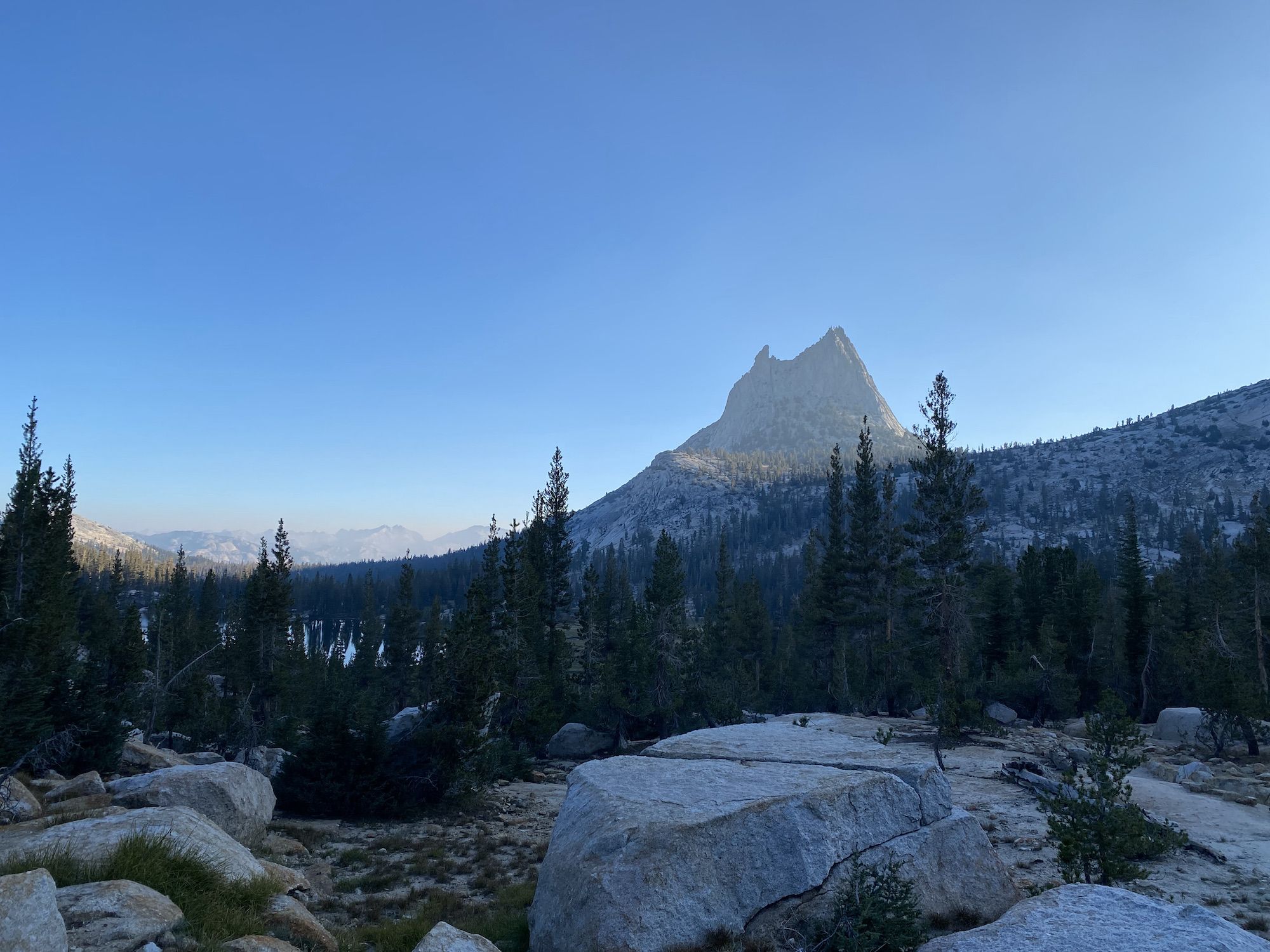
Day 5: Young Lakes to Upper Cathedral Lake
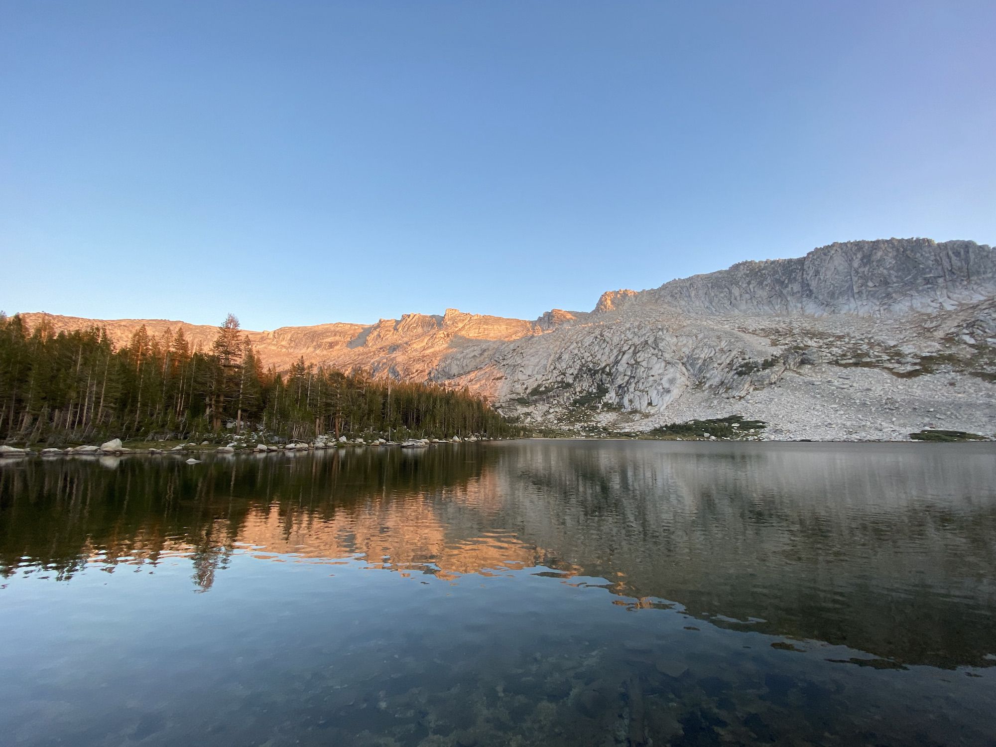
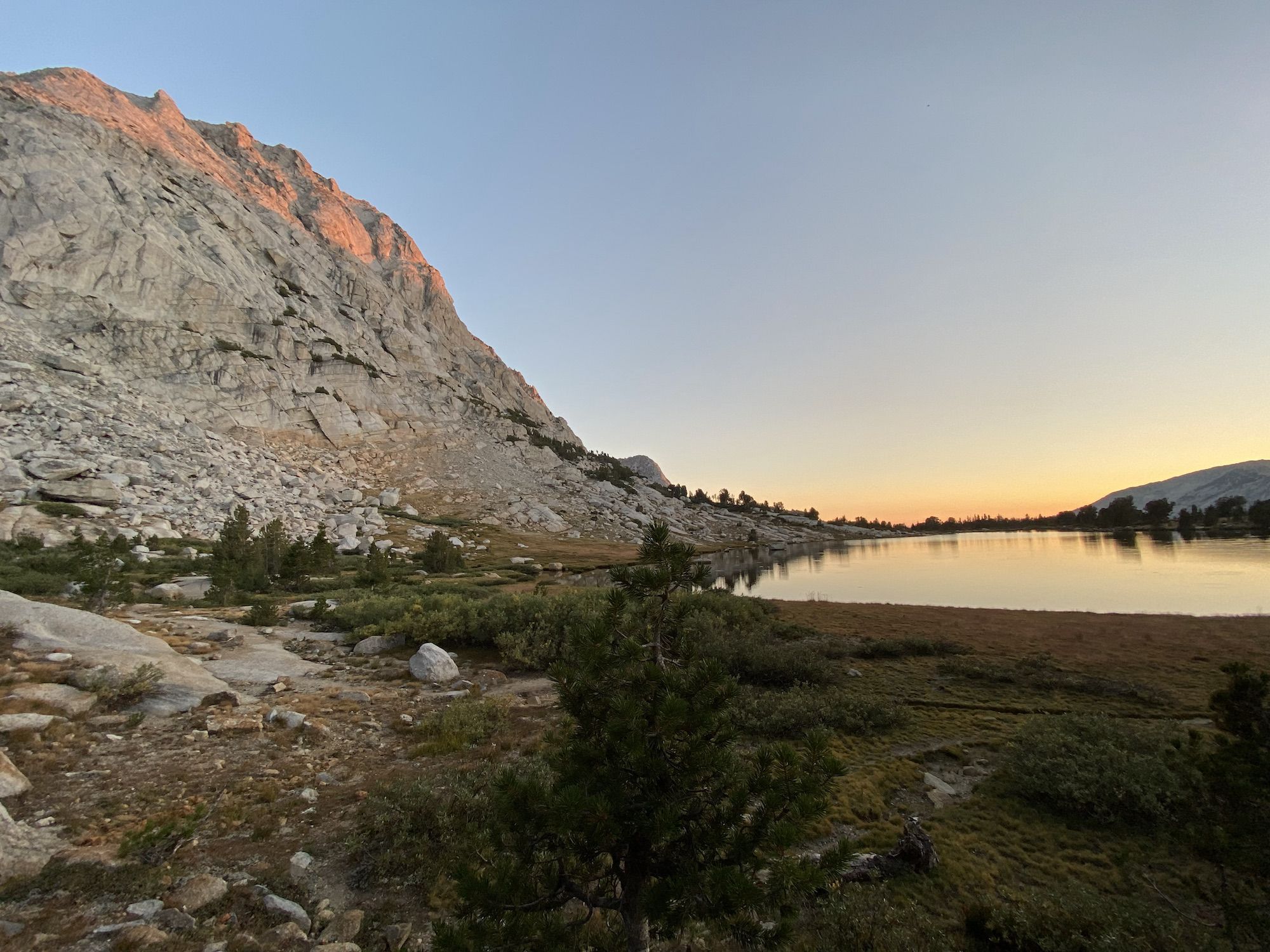
We woke up early and had breakfast in our quilts, as had become the tradition on our trip. The calm lake reflected the first rays of the morning sun that painted the mountains orange.
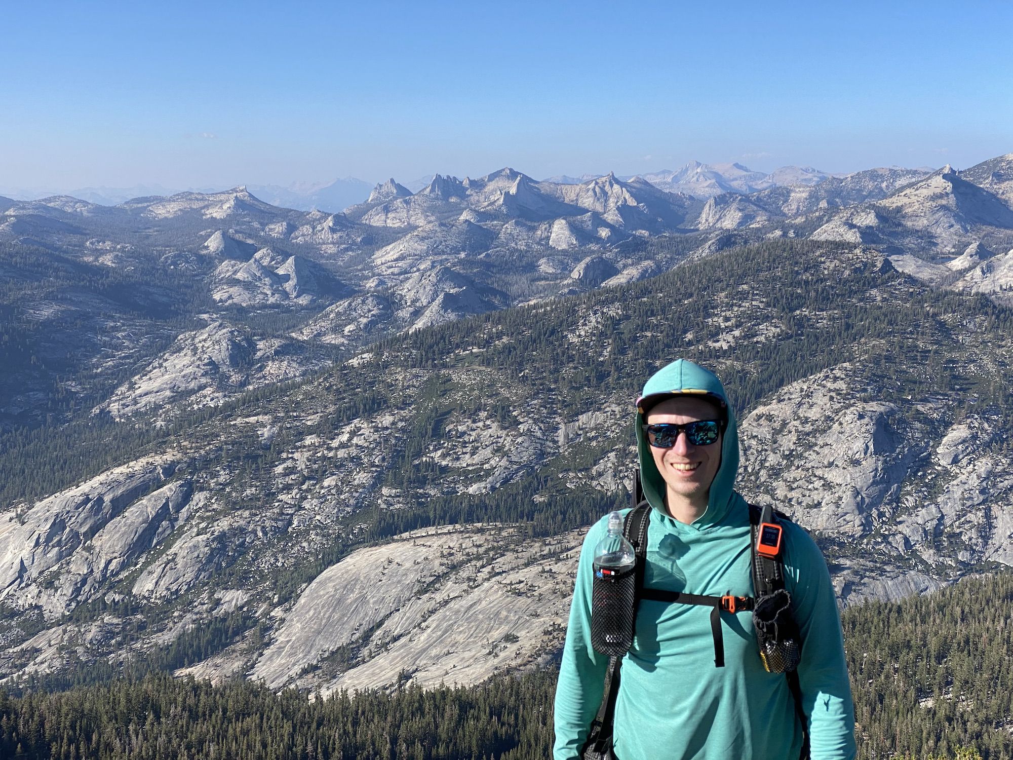
Today was the halfway point of our trip. For Brandon and me, it meant picking up our resupply. For Steve, it meant heading back home.
Young Lakes is a popular overnight destination for backpackers heading out of Tuolumne Meadows. The well-established trail down to the trailhead made for fast travel but didn’t offer much in terms of views until the last stretch, where we could start seeing the Cathedral Range on the other side of the meadow.
We arrived at our cars around 11. Brandon and I went to the store to pick up our resupply bucket and score some lunch. To our disappointment, the grill had closed for the season. So instead of freshly grilled burgers, we had to settle with microwave burritos (which we would regret later that night). Steve wisely opted to eat something on the drive down instead.
We were in no hurry, so we hung out at the store, talked with other hikers, and enjoyed a couple of beers while my battery pack was recharging.
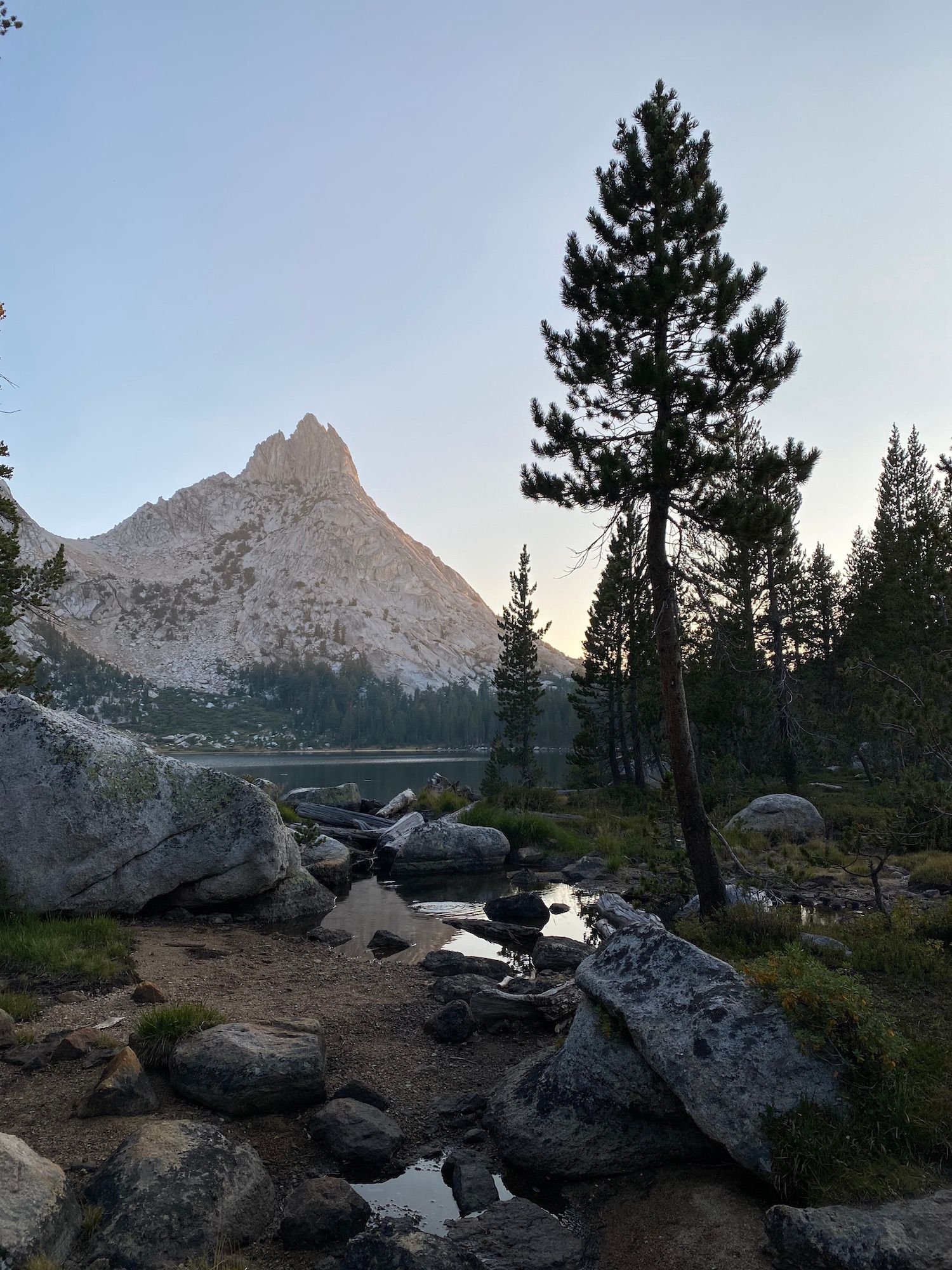
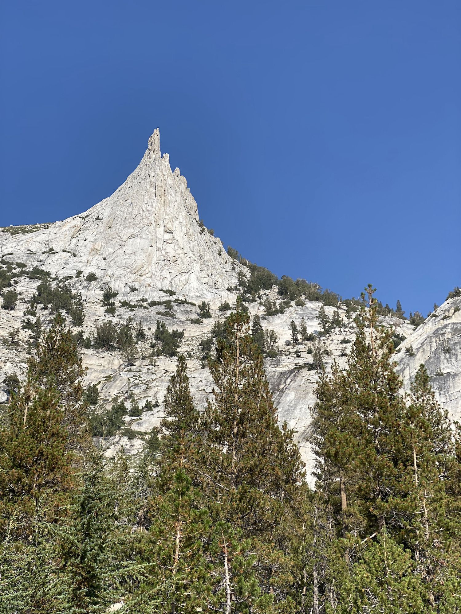
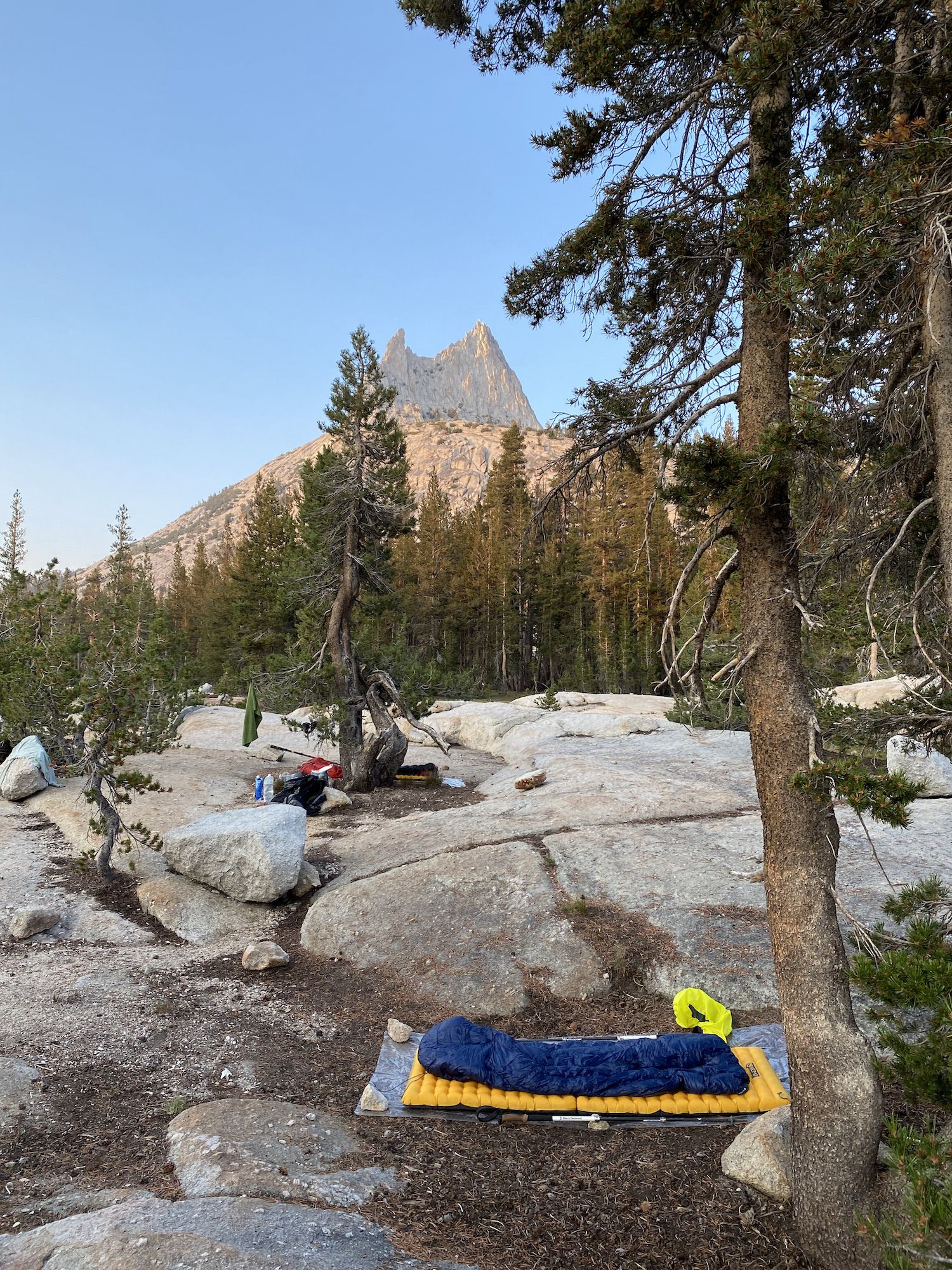
Packs heavy with food and batteries recharged, we continued toward our campsite for the night, Upper Cathedral Lake. The 5 miles and 1,100 feet of climbing offered little views until we made it to the lake. At the lake, we found a couple of nice spots to set up our cowboy camp.
Even though we’d had a big lunch, we had no trouble scarfing down dinner to start lightening our packs.
Unfortunately, the smoke started rolling in heavier as we were getting ready to go to bed. It got pretty bad for a couple of hours before improving.
Day 6: Upper Cathedral Lake to Obelisk Lake
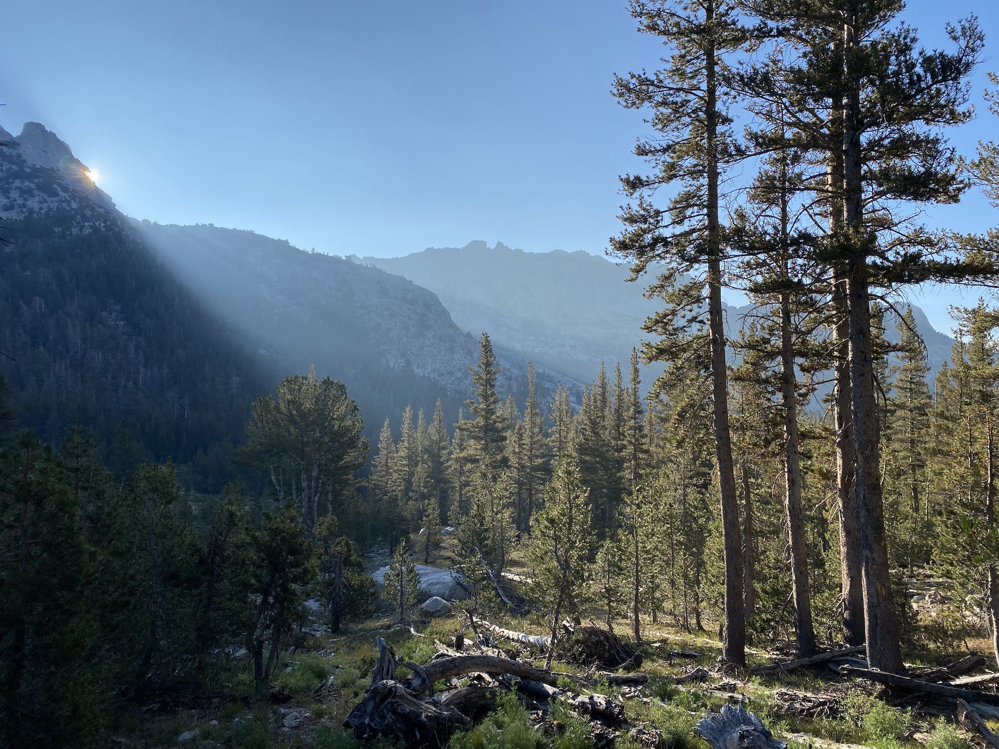
We woke up at 6 because we knew we had our longest and hardest day ahead of us. It was still freezing cold as we ate breakfast in our quilts.
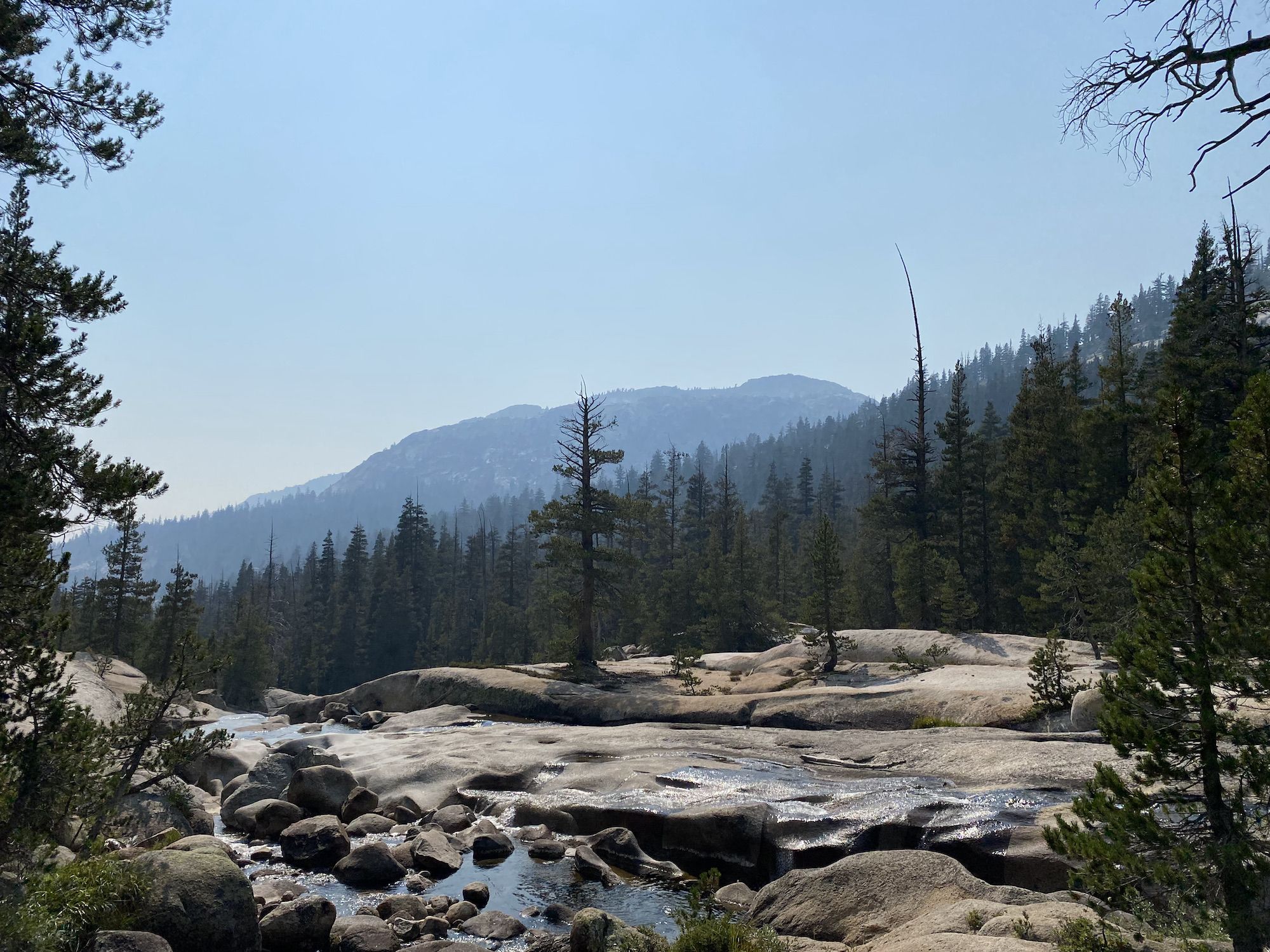
The first 11 miles of the day were mostly downhill to Echo Valley. We started the hike wearing an extra layer but quickly had to remove the extra layer as the sun rose above the mountain peaks. The morning sun looked magical as it filtered through the hazy air.
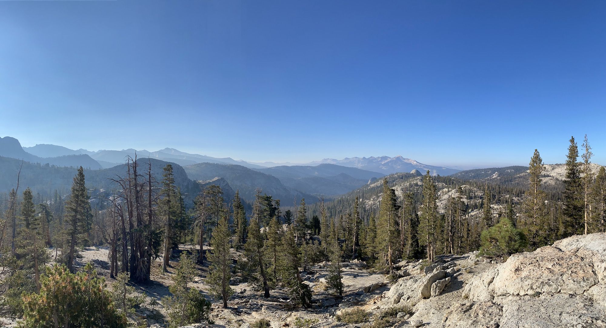
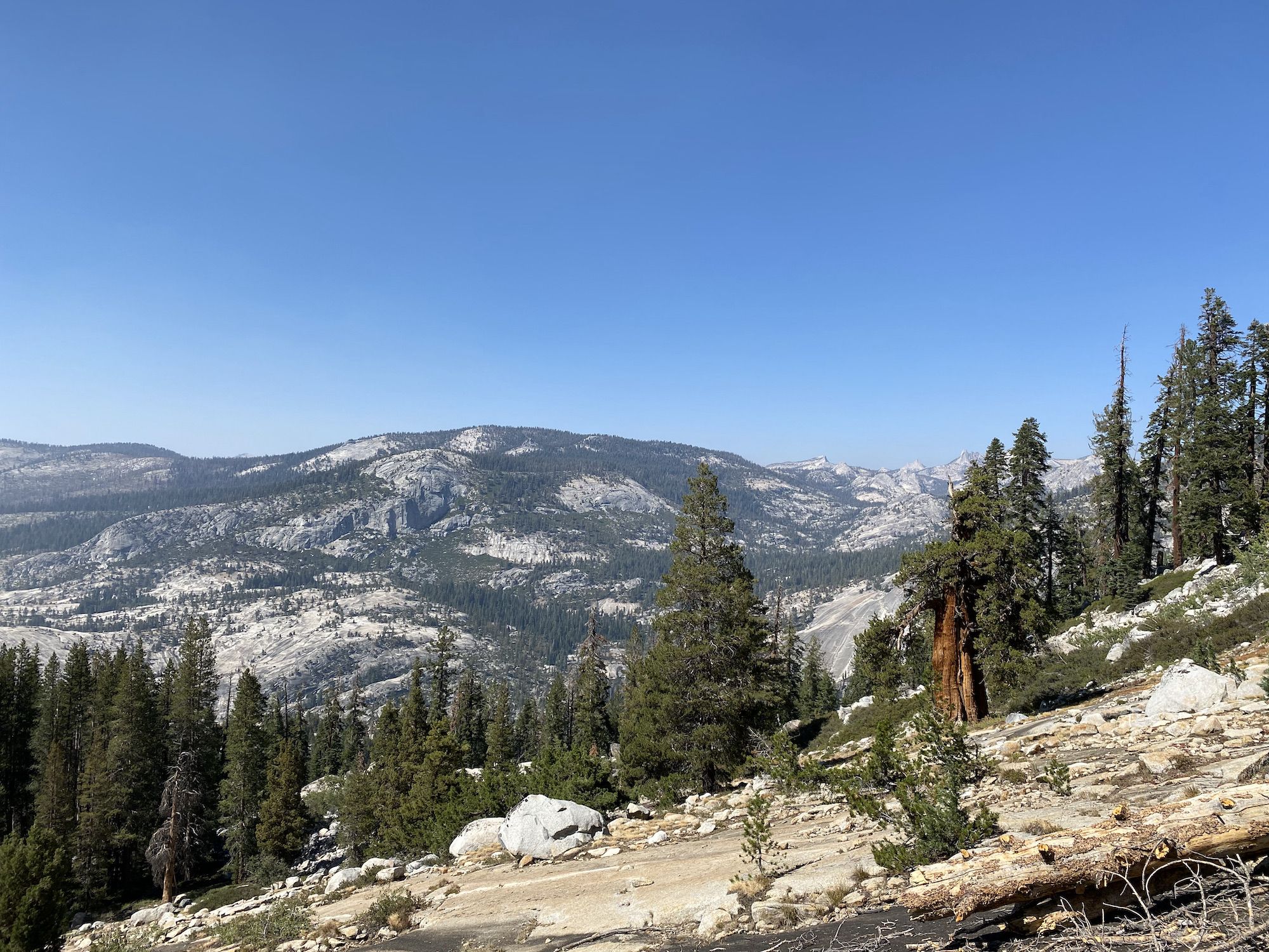
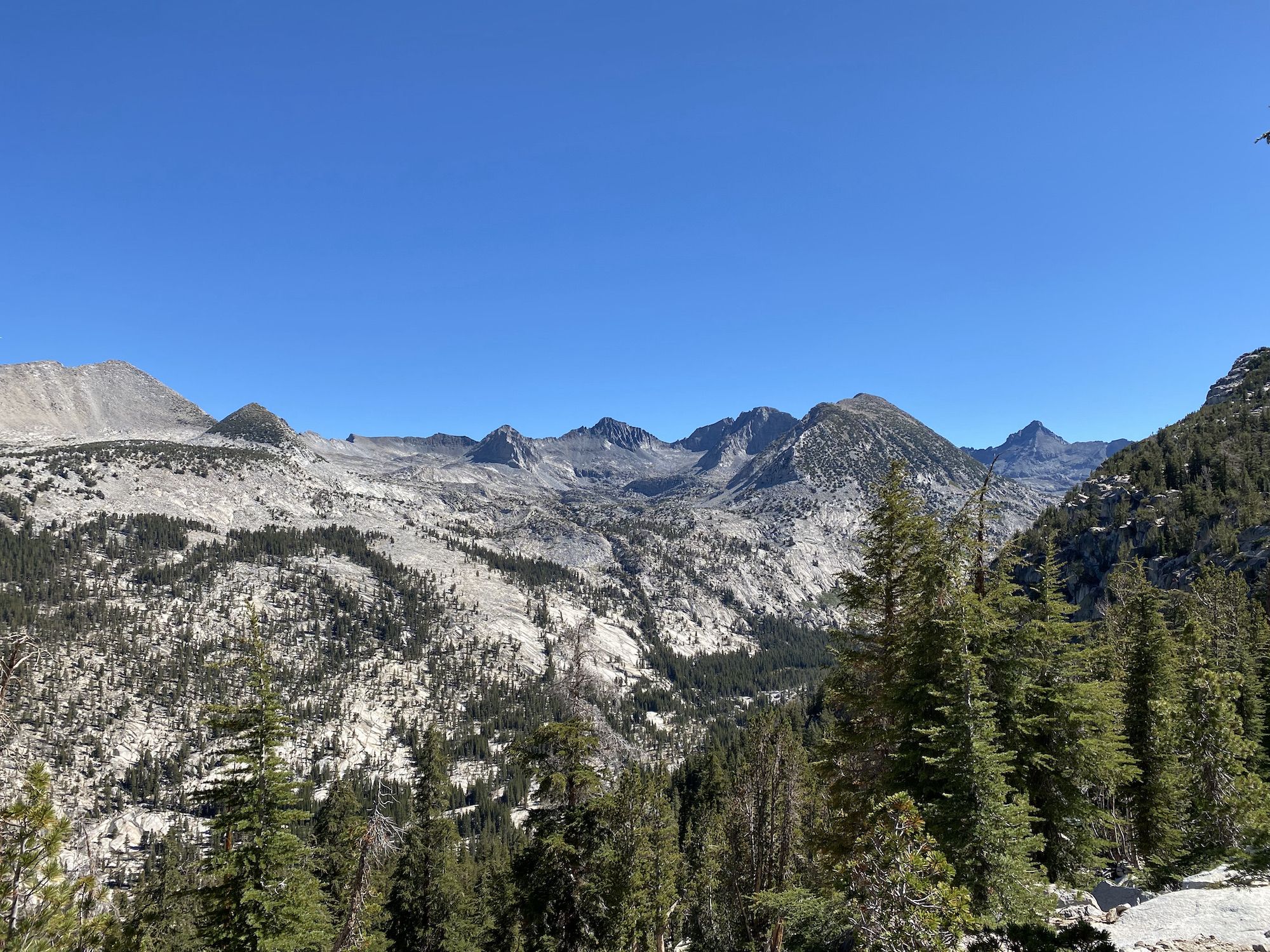
We could see the tall peaks of the Clark Range in the distance as we were descending. Although the downhill was easy going, we knew we’d pay for it later when we started climbing back up. The trail passed through sparse forest and meadows on the way down. Along the Lewis Creek, the canyon became narrower, and the trail crossed the creek on high footbridges that seemed comically over-engineered for the tiny trickle that was left of the creek.
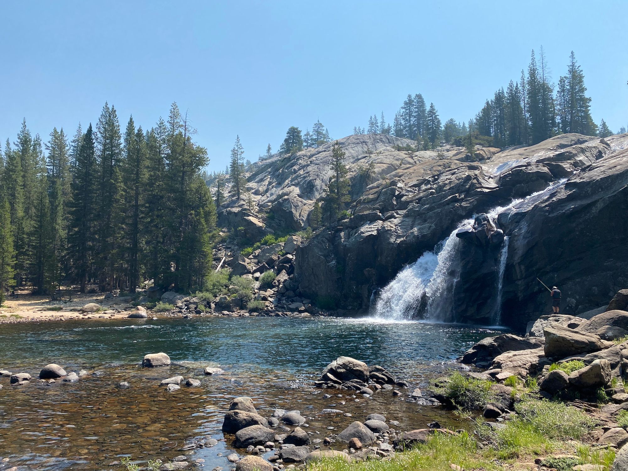
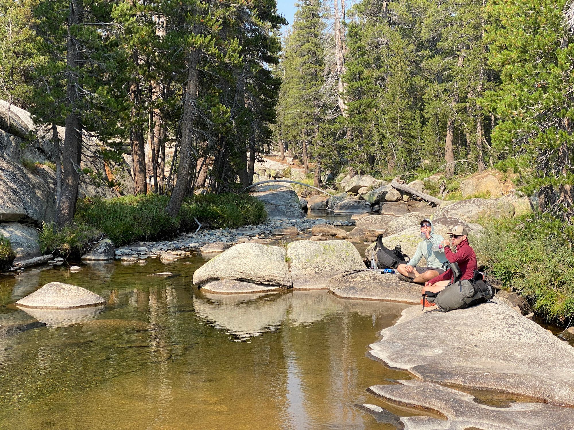
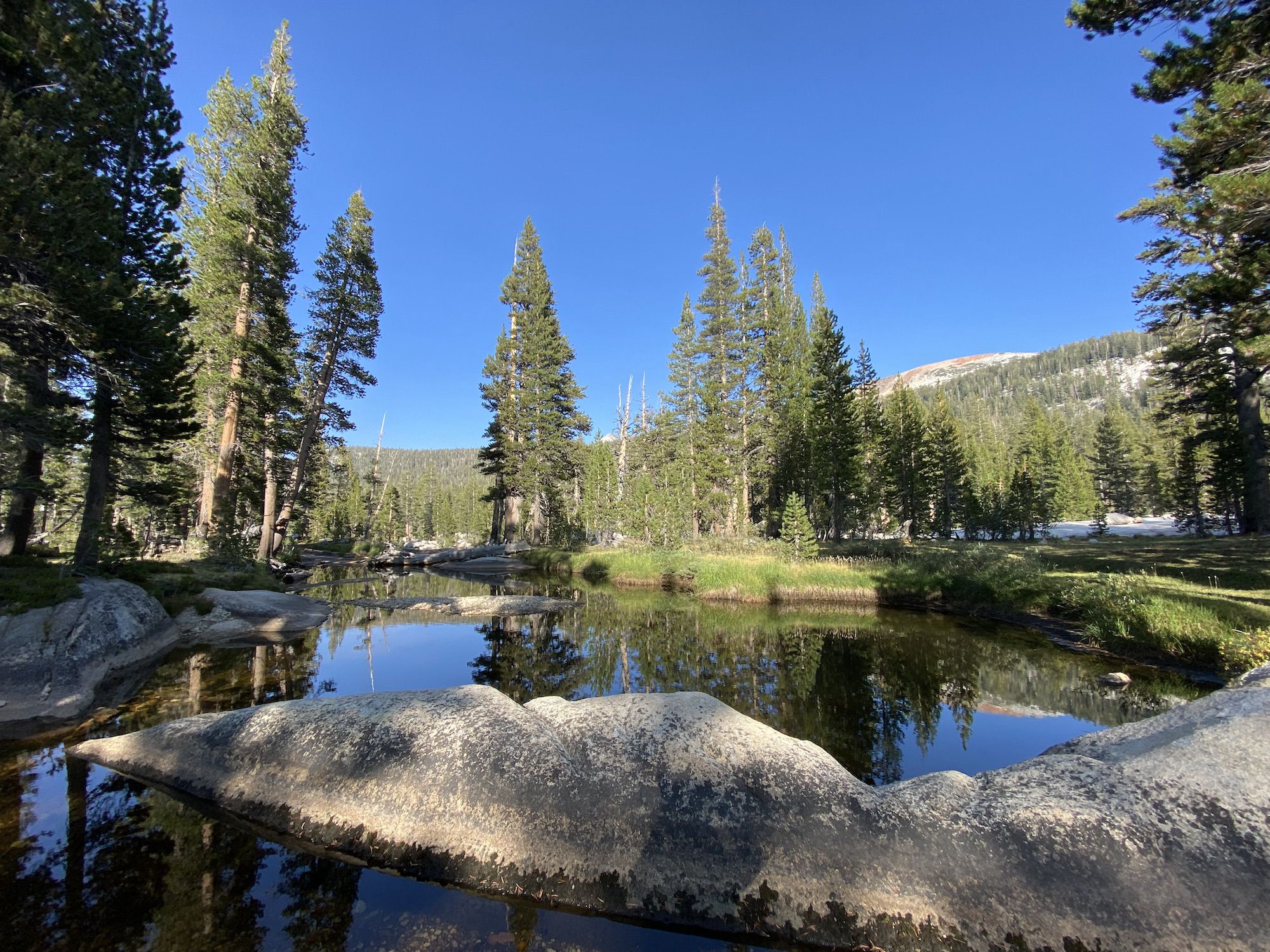
We stopped for a coffee and a swim break at the bottom of our descent in Echo Valley. The Merced River had carved large pools among the granite, which made for a great swimming hole. The air was considerably warmer at 7,000 feet than we had become accustomed to at almost 10,000 feet.
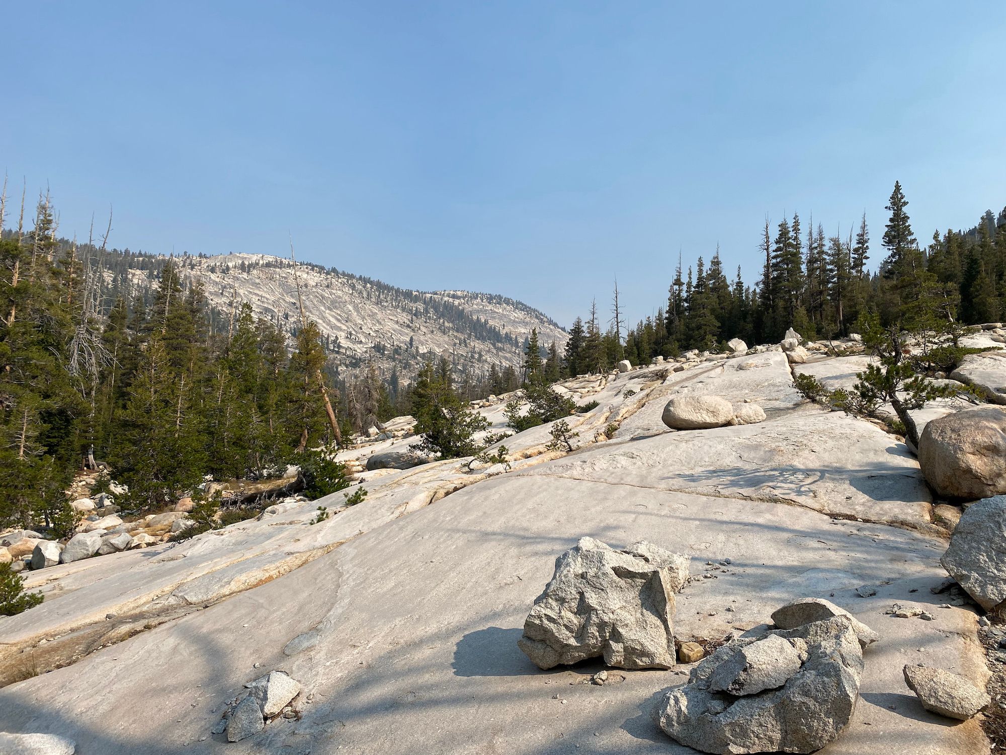
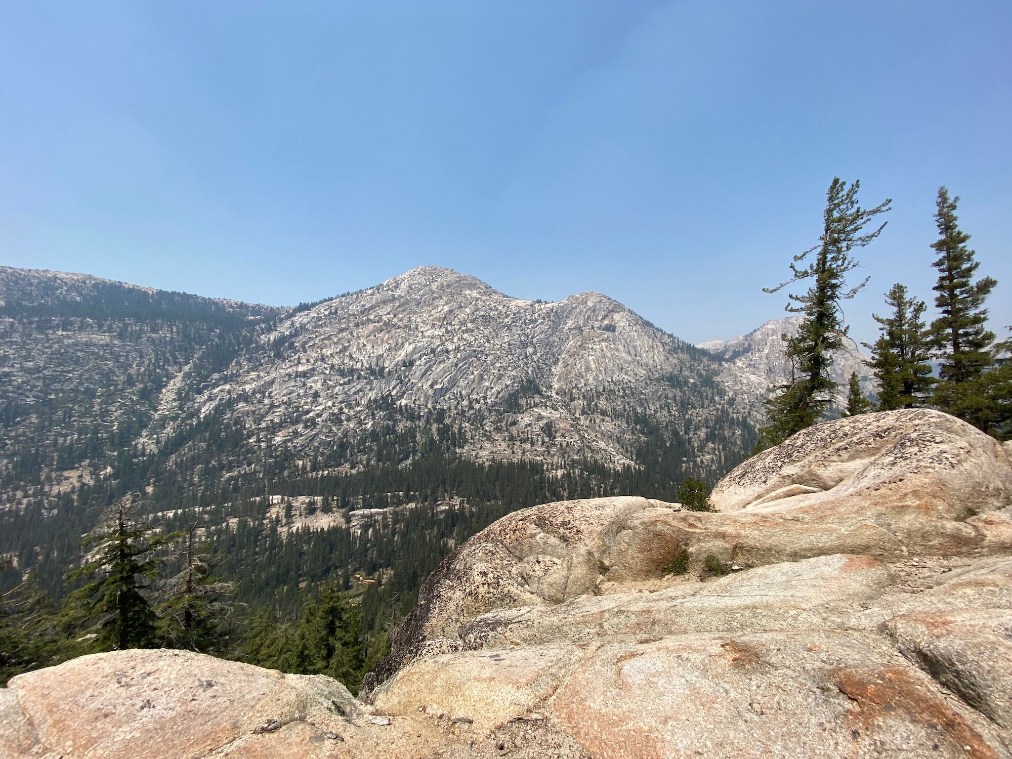
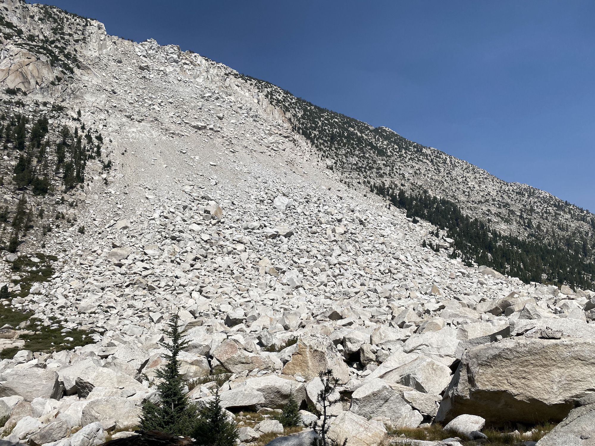
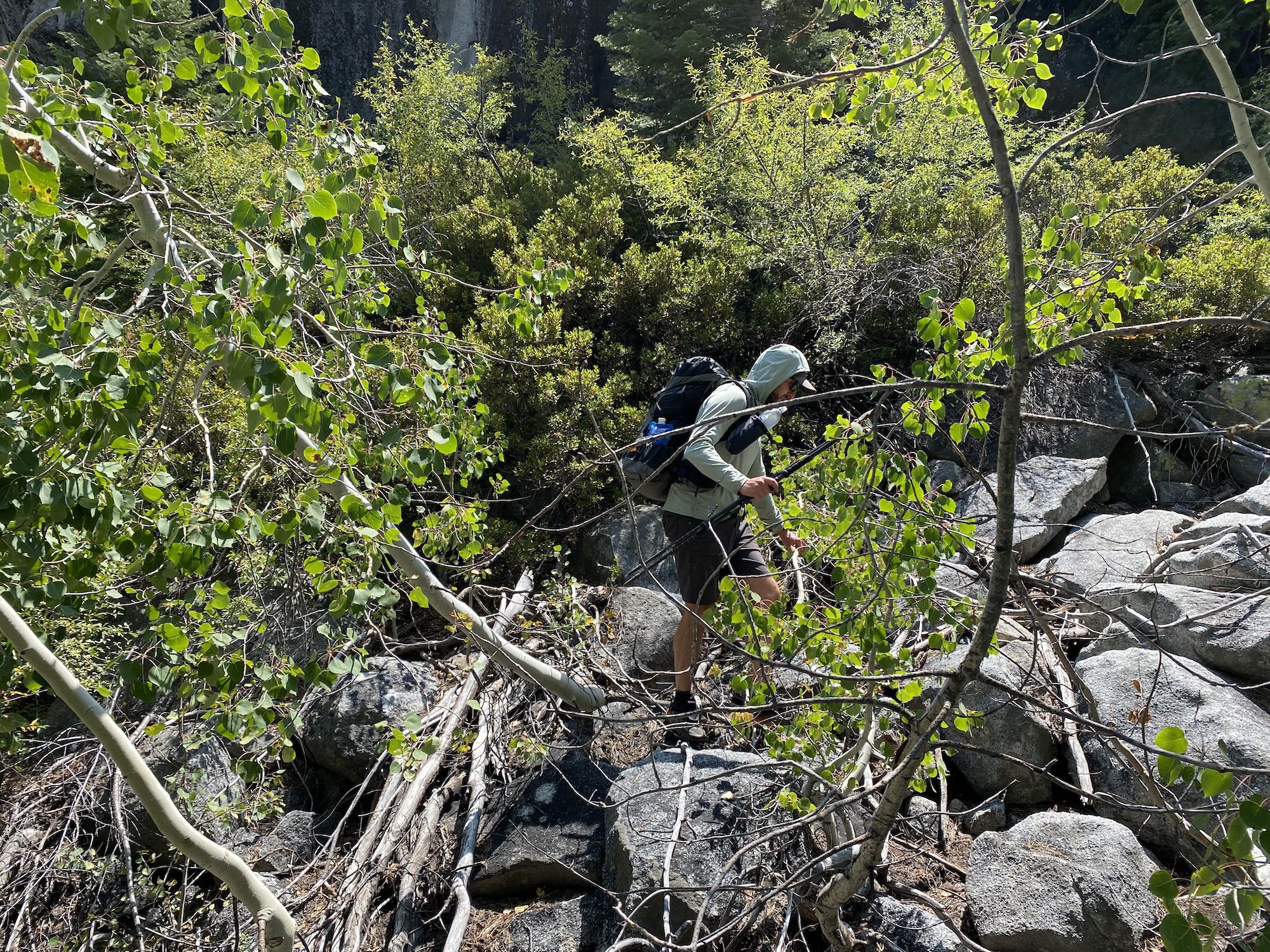
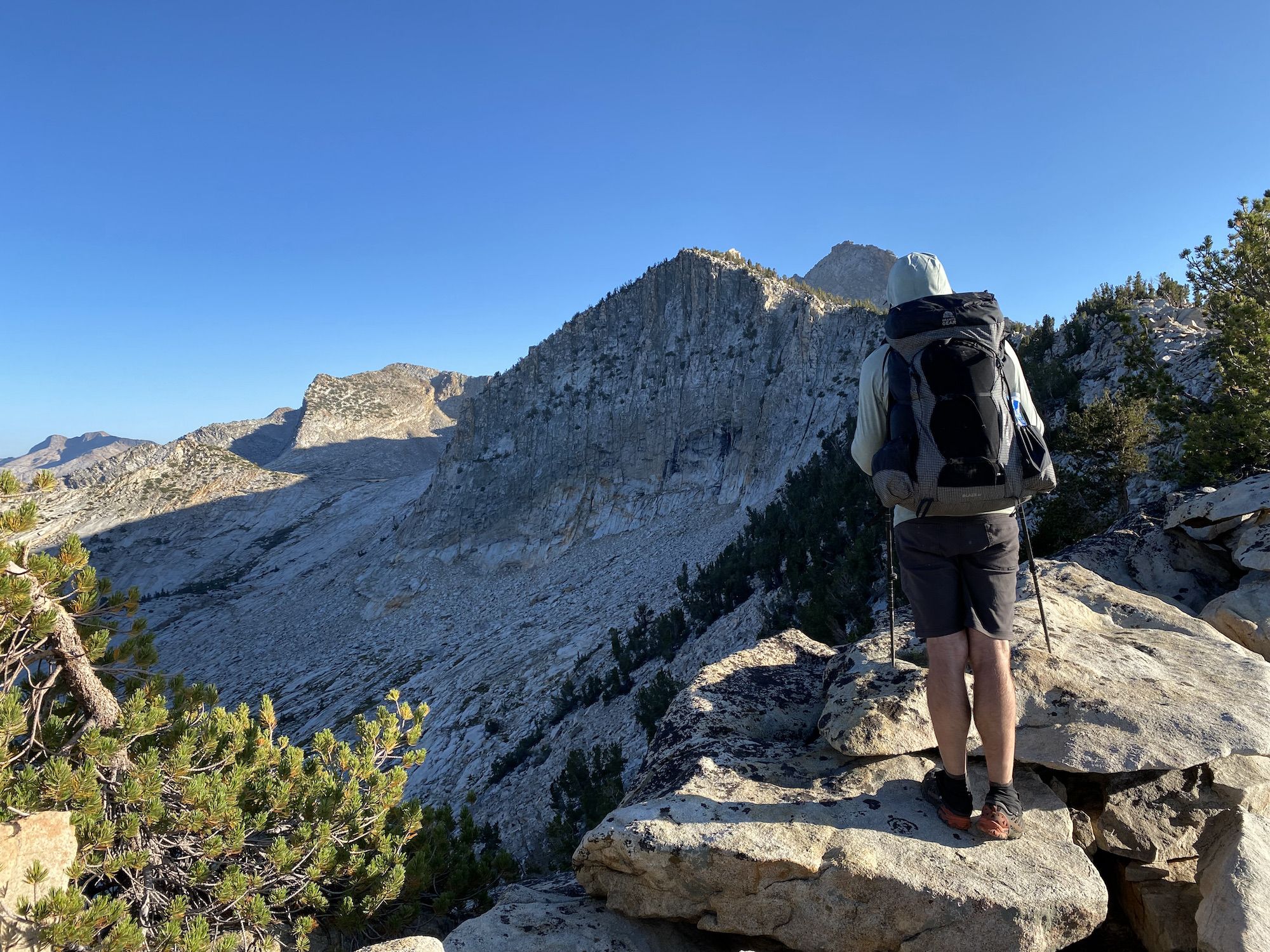
Clean and caffeinated, we were ready for part two of the day. We would climb over 3,700 feet in the next 3 miles up to Quarzite Peak. The climb was a suckfest of bushwhacking, steep slabs, and talus–classic type-2 fun.
We walked into an almost fairytale-like forest in the bowl below the saddle between Quartzite Peak and the Mount Clark ridgeline. We filled up on water before the last push.
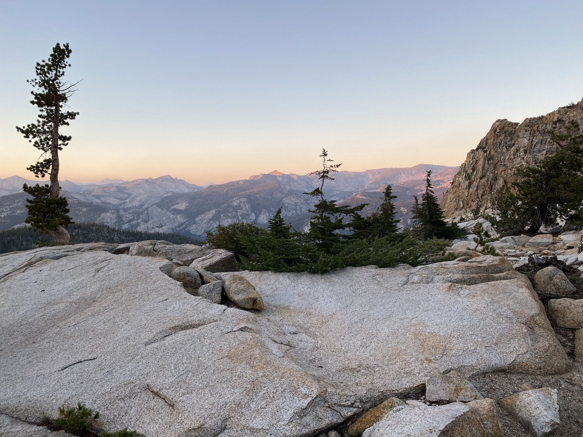
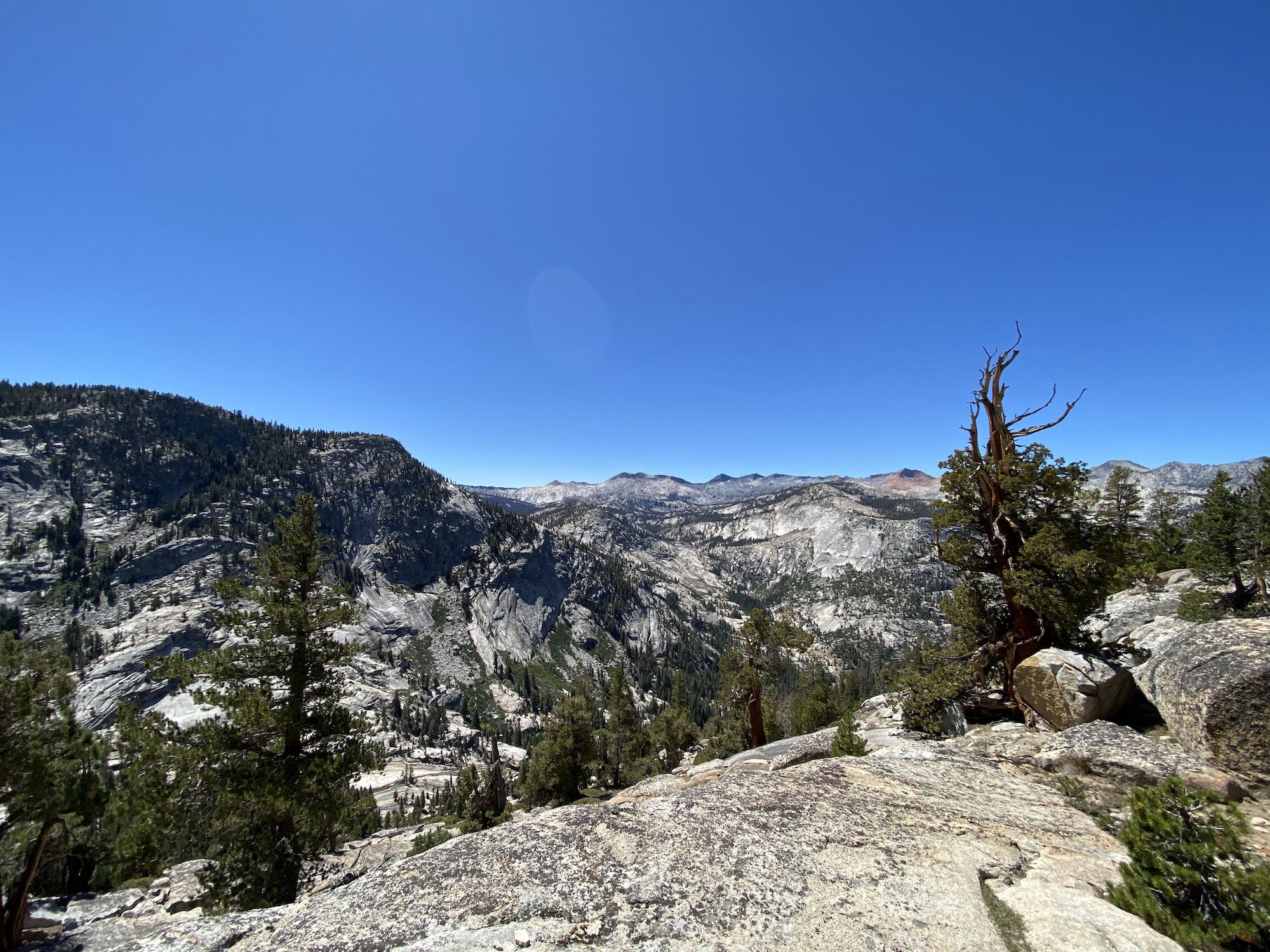
The views from the top of Quartzite Peak were breathtaking. We took advantage of getting a cell signal to call home but had to continue quickly to make sure we didn’t need to climb down in the dark.
Once again, we were happy that we had Skurka’s notes as the easiest way down actually required us to climb up a few hundred feet more on the ridgeline leading up to Mount Clark. The beginning of the descent was soft sand and boulders, but after 200 feet, the going got easier.
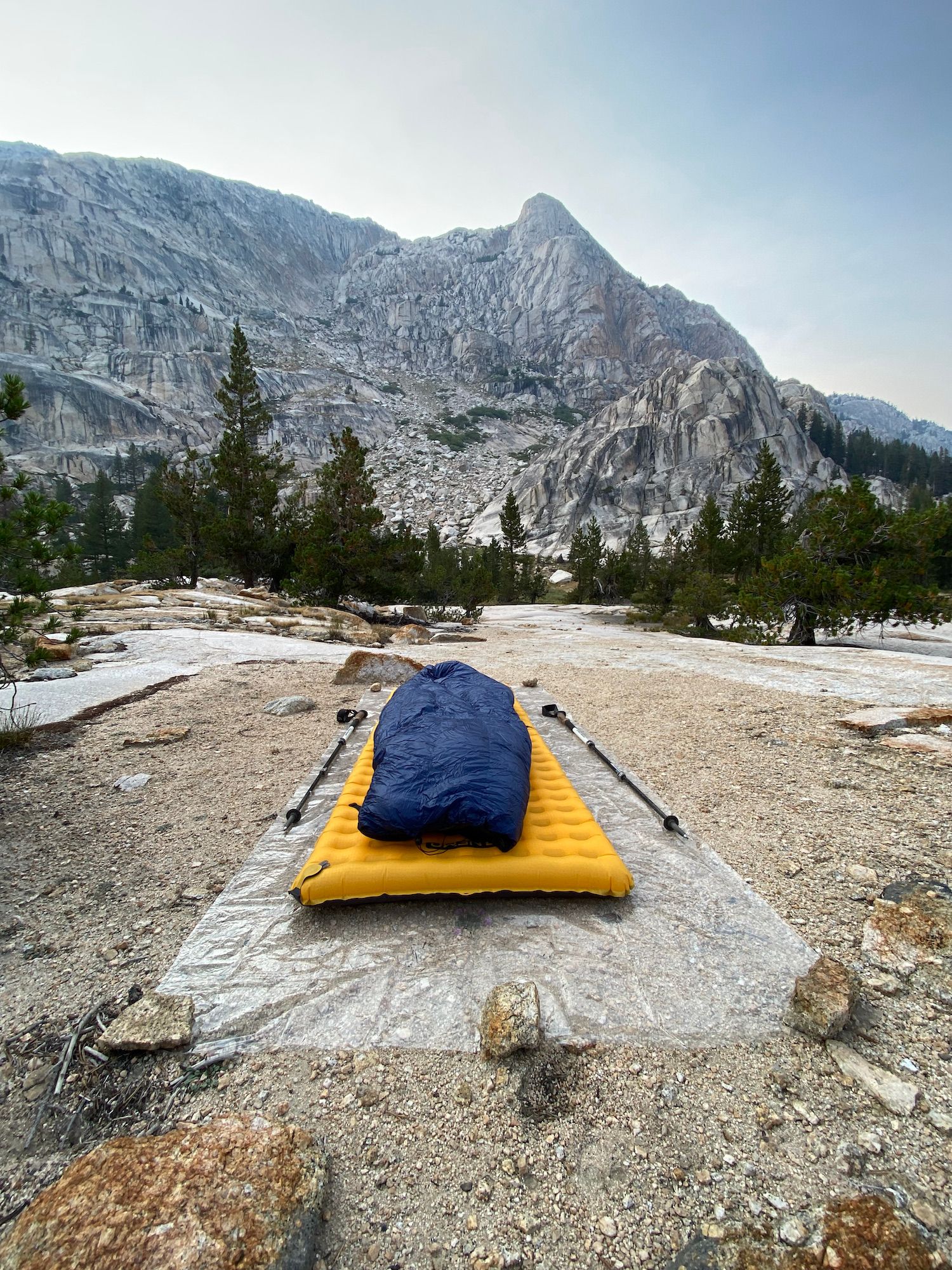
We made it to Obelisk Lake as the sun was setting. We found a perfect campsite, cleaned up, and made dinner as it got dark. We fell asleep almost immediately after dinner.
Day 7: Obelisk Lake to Isberg Peak
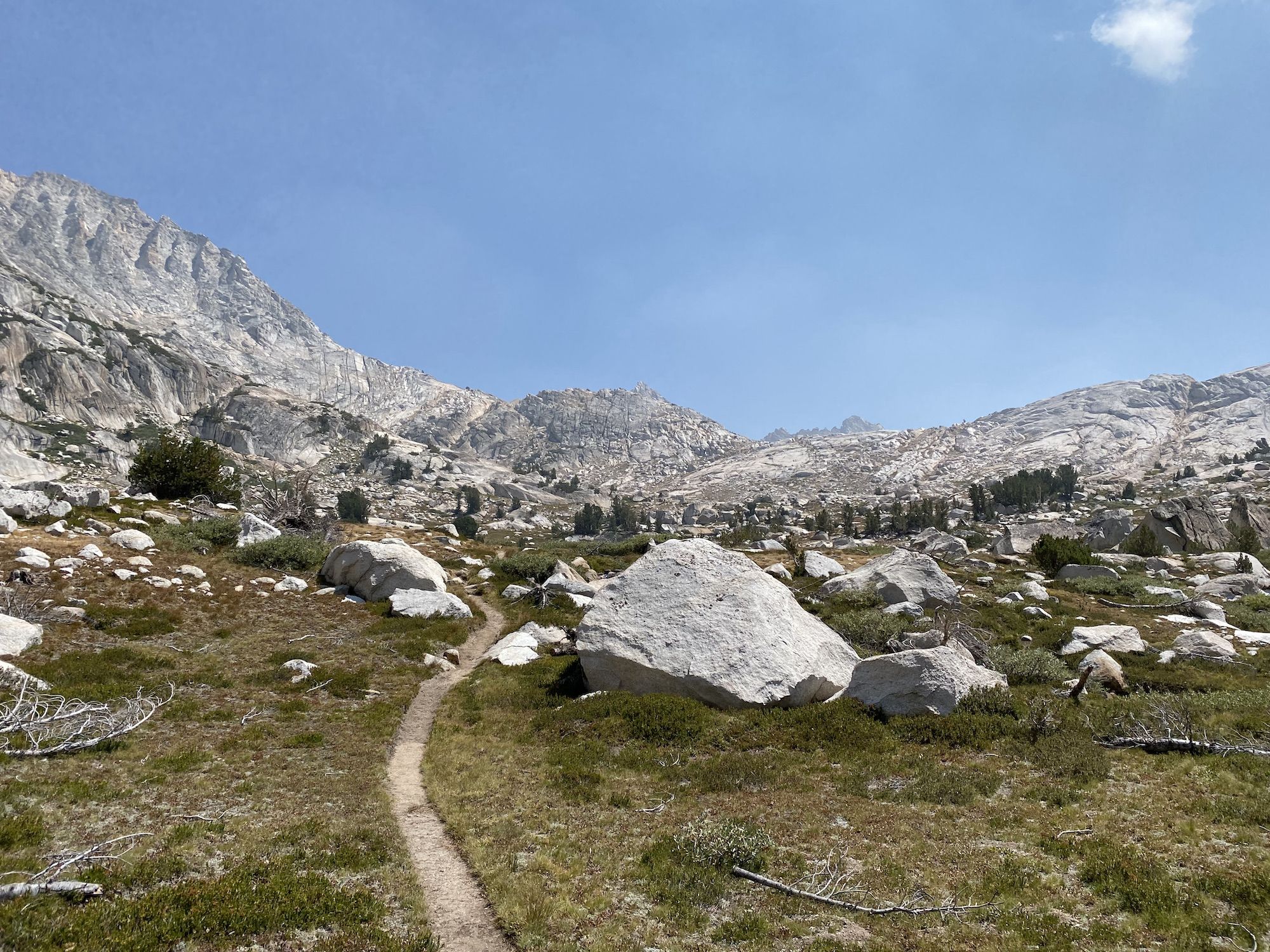
We woke up early again as we had another long day ahead of us. This would be our last stretch of off-trail travel, but we had some awesome stuff ahead of us still.
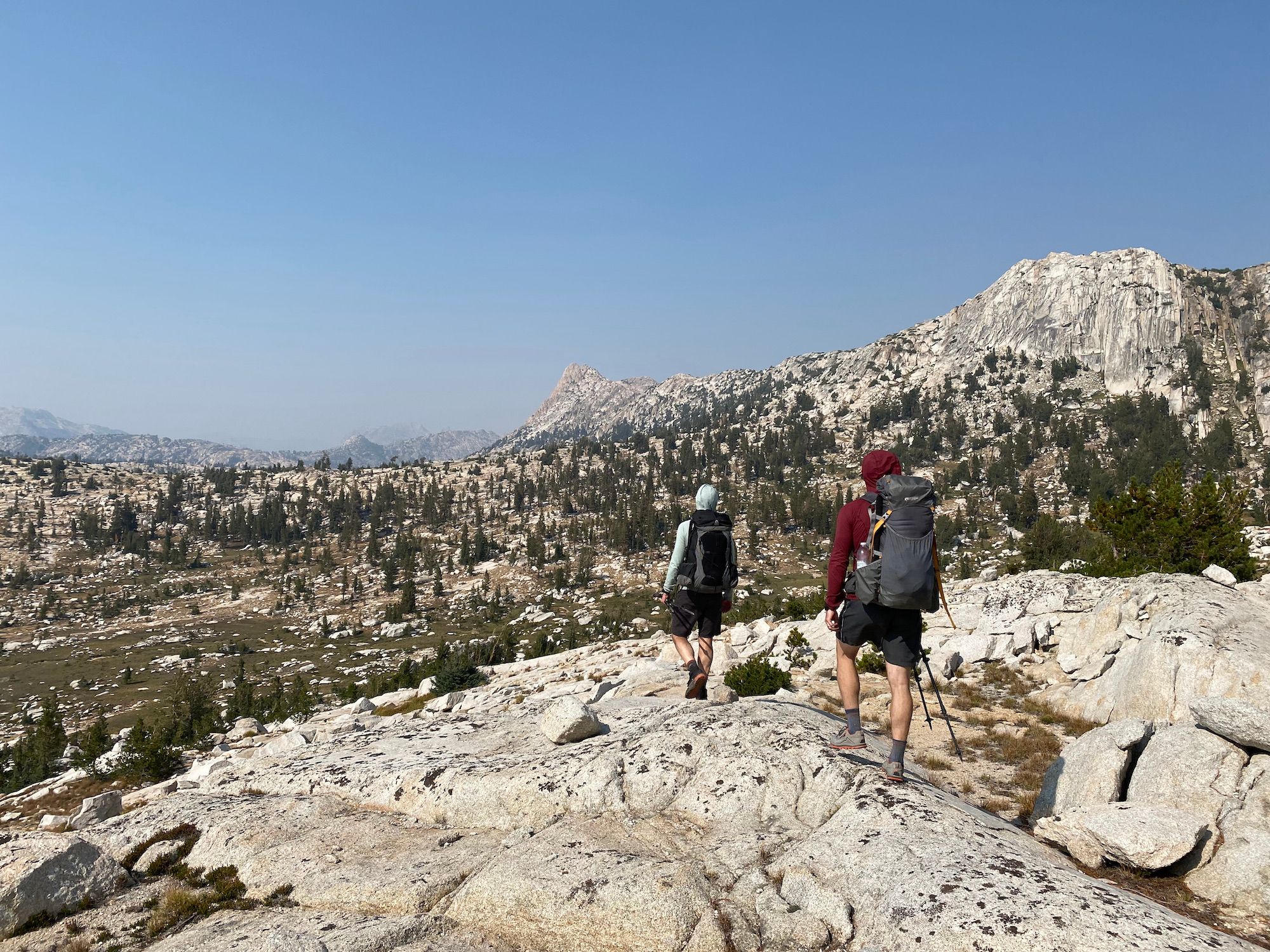
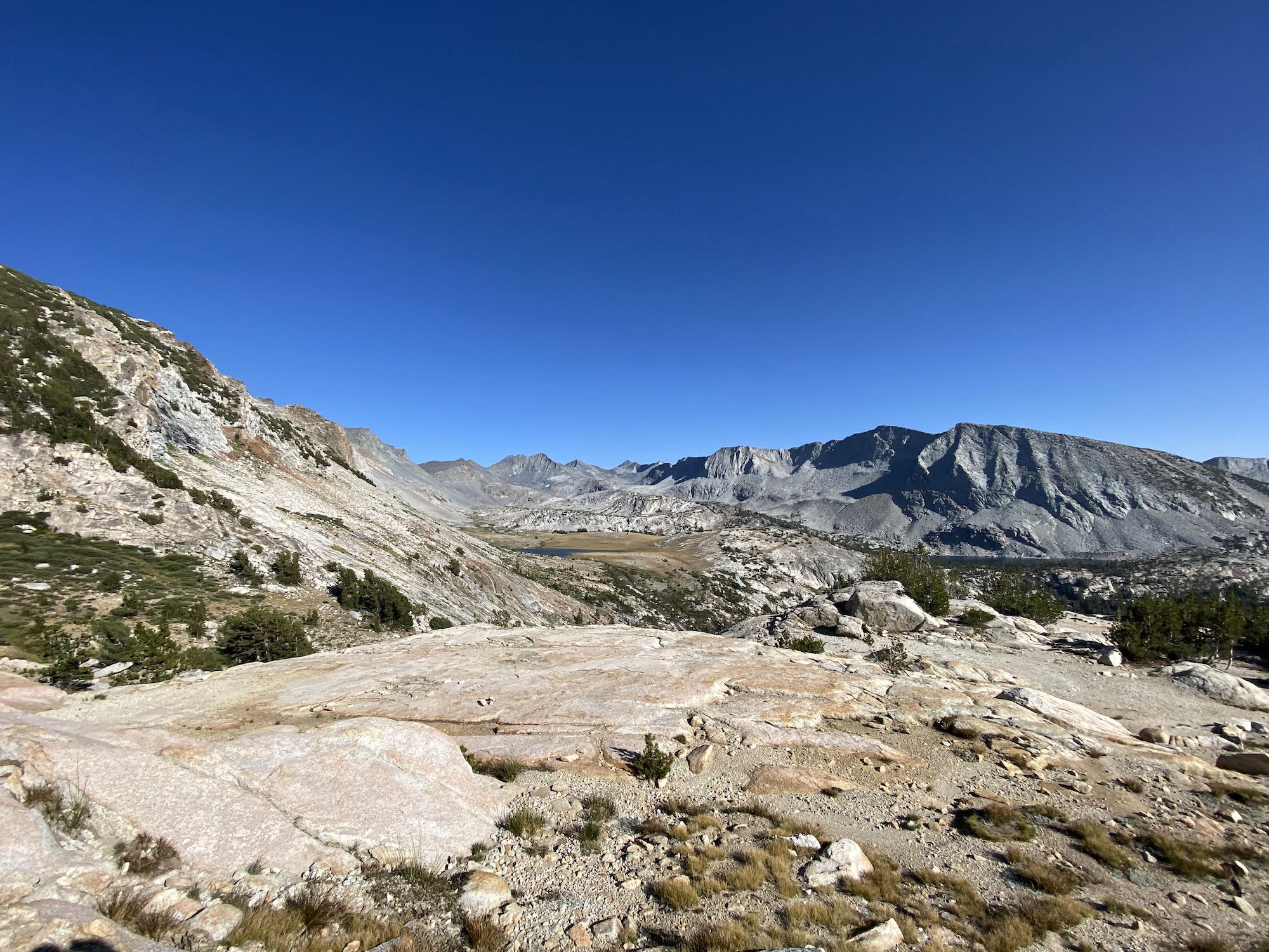
After breakfast in bed, we packed up camp and started hiking. Our first climb of the day was 600 ft up from the lake to rejoin the Yosemite High Route. The terrain was easy, and our legs were used to the climbing, and we made good time up the pass. We walked past a smaller lake above Obelisk before cresting the first “pass” of the day.
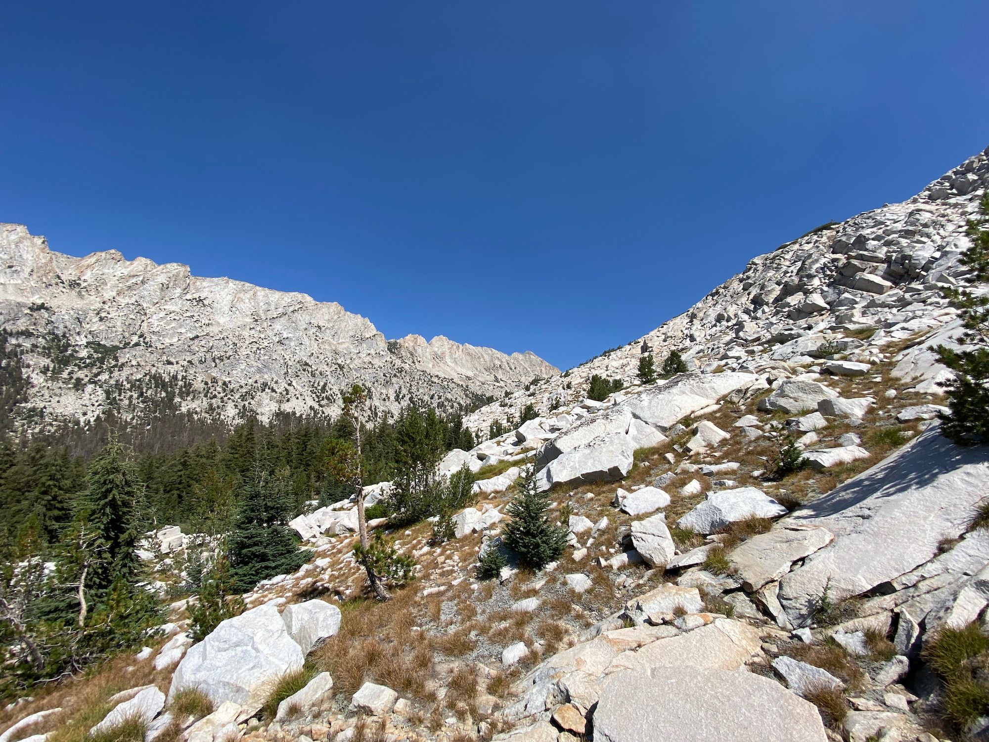
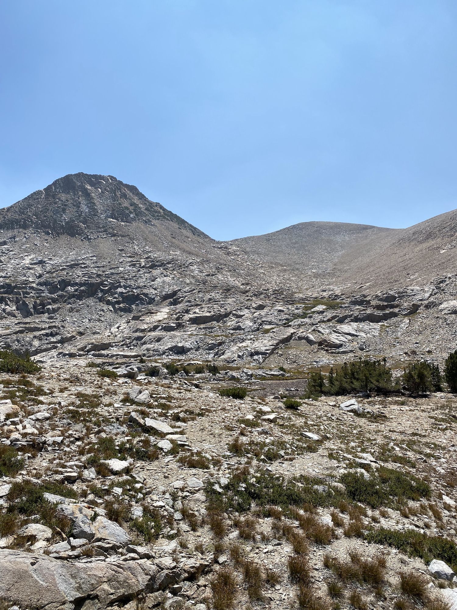
From the top, we walked over smooth slabs and talus to the bottom of what Andrew Skurka has named Lemonade Pass because it’s the best option with what you have at that point. The climb was straightforward, but the ground was loose sand and small rocks, making it more challenging.
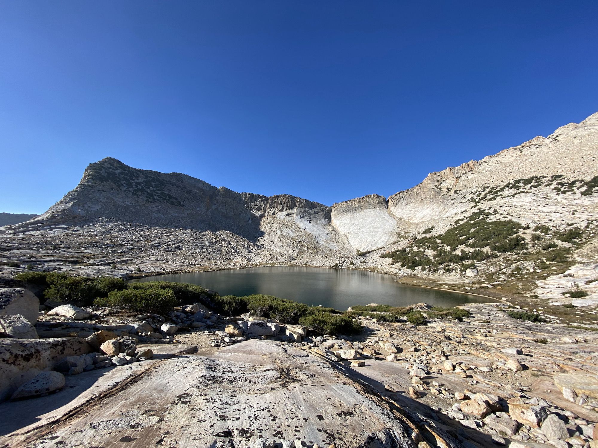
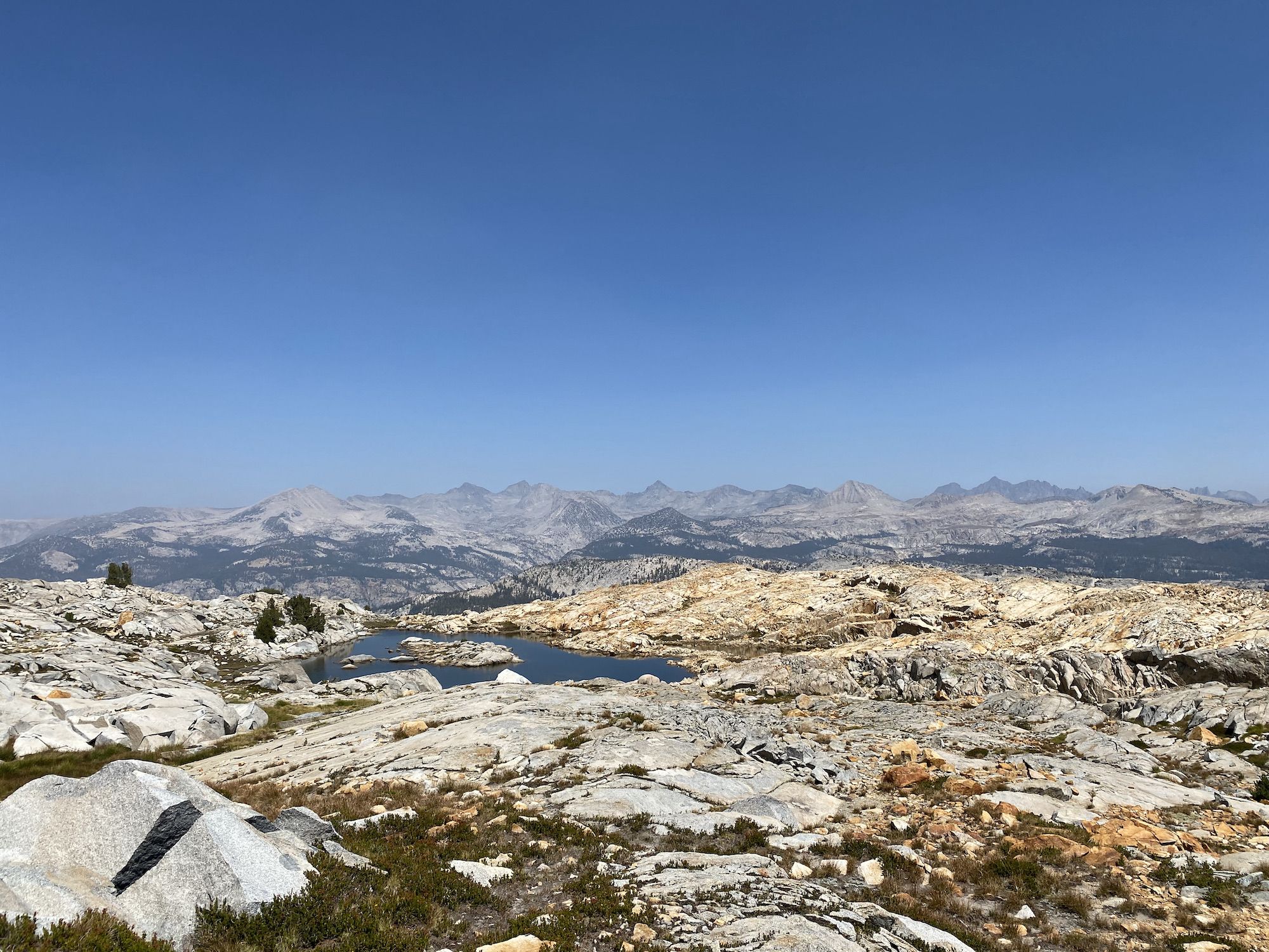
From Lemonade Pass, we descended in loose sand and boulders a few hundred feet, then walked down to Adair Lake for a coffee break before the last pass of the day. Adair Lake was beautiful, and we found a small peninsula where we could sit and enjoy the views with our coffee.
From the lake, we had about 1,000 feet to the top of Sue Pass. The terrain was easy, and we powered up the pass quickly. On the other side of the pass, we found a good way down on slabs and occasional boulders. After a last small climb, we joined Red Peak Pass trail.
We had 7 on-trail miles to go. The trail started in exposed rocky terrain, then open forest as we descended to Triple Peak Fork. Unfortunately, the creek was barely flowing, and it made us nervous about the campsite we had planned along a small unnamed creek on the eastern side of the valley. So instead, we decided to camp at an unnamed lake under Isberg Peak, even though it would add a little extra distance to the next day.
We powered through the 900-foot climb from Triple Peak Fork in record time even though we were tired. We both wanted to get to camp and eat. The hiker hunger had really started hitting us, and it was hard to stop feeling hungry.
We made it to the lake as the sun was setting and found a decent campsite high enough above the lake to avoid condensation. We ate big dinners and fell asleep.
Day 8: Isberg Peak to Vogelsang
I woke up just before midnight to a furious wind roaring through the camp, finding every little hole under my quilt. Fortunately, we had found campsites well surrounded by trees for wind shelter. We would probably have flown away otherwise. I put on my windbreaker as an extra layer and somehow managed to fall back asleep.
When we woke up at 7, it was completely calm, and the air was absolutely clear, with no sign of smoke anywhere. We ate breakfast in bed and packed up camp.
We knew we had made the right call about the campsite when we walked past the dry creeks we had initially planned to camp along. We would have had to walk several more miles to find water if we had attempted to camp there.
The trail we were on was rarely used and easy to lose. The open forest offered easy walking but no views. We dropped sharply to Lyell Fork after 5 miles. We fueled up with a snack and filtered some water before continuing.
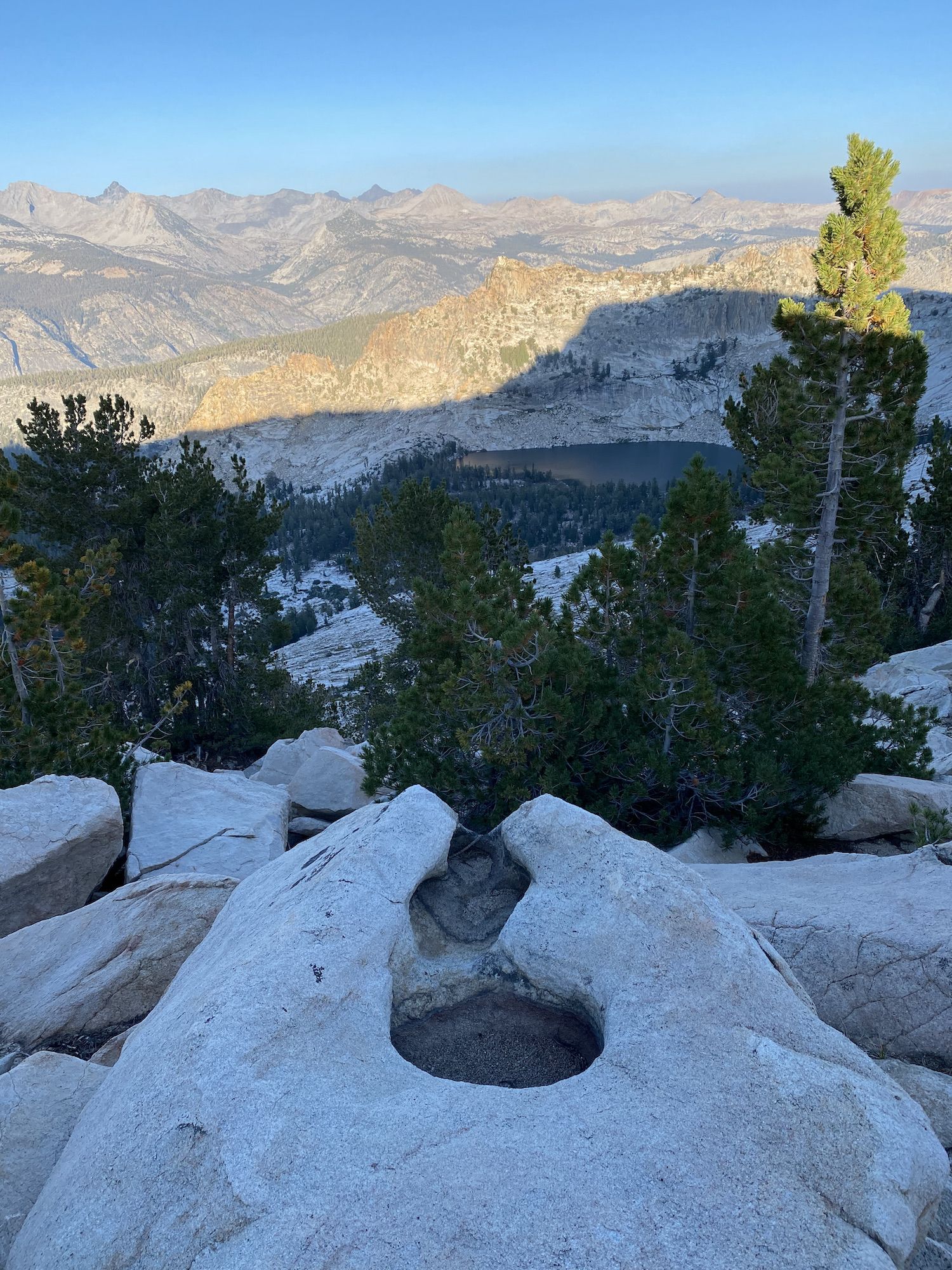
As we climbed to the ridge above Lyell Fork and Washburn Lake, we got excellent views of the high country we had spent the previous two days. The trail once again dropped sharply as we approached Lewis Creek.
After reaching Lewis Creek, we started our final climb of the trip: up Vogelsang Pass. The weather was warmer than we were used to, and we could really feel it. We stopped early in the climb to eat and rinse off our shirts so we could put on the damp shirts to help cool us down on the ascent.
The climb steepened after the meadow below the pass. At this point in the trip, our legs and lungs were more than up to the task, and we quickly made it to the top of the pass. The views of the lakes below the pass on the way up were splendid. On the north side of the pass, we could see Vogelsang Lake. From here, we had basically only downhill all the way to Tuolumne Meadows.
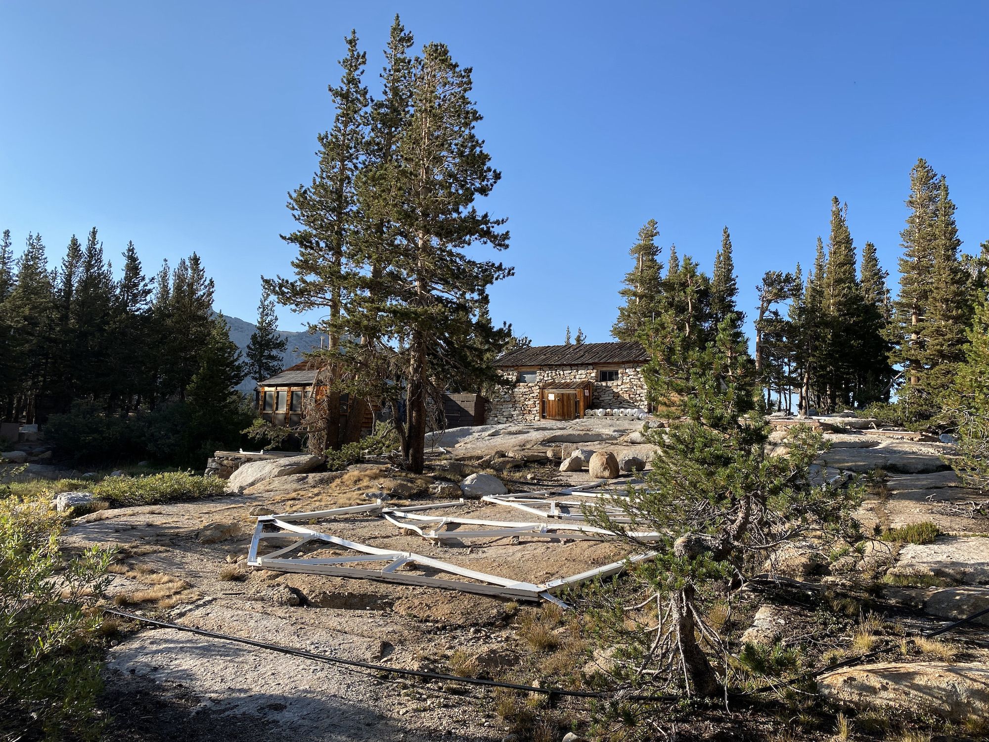
We filled up on water at Vogelsang Lake. The High Sierra Camp was closed for the season.
We set up camp well before the sunset. It gave us time to wash up and try to dry our clothes in the evening sun. We sat looking at the setting sun, with fish and bats tag-teaming to eat all the hatching insects.
Day 9: Vogelsang to Tuolumne Meadows
We woke up at 6:30 to get an early start home. The smoke had rolled in with a vengeance overnight.
After packing up camp, we walked off-trail for 10 minutes to join the Rafferty Creek Trail. Once on the trail, we had an easy downhill all the way to Tuolumne Meadows.
We saw a couple of hikers when we joined the JMT, but very few other people until we came into the campsite area.
We rinsed off the worst stink in the Tuolumne River before putting on our change of clothes, then grabbed a quick snack at the store before heading home.
What a trip!