Exploring the desolate parts of Desolation Wilderness
My 3-day October trip to Desolation Wilderness, exploring the less-visited northwestern parts of the wilderness area.
Trip date: October 7-9.
For my final Sierra trip of 2022, I decided to head to Desolation Wilderness. Although I've been to Desolation many times, I've never explored the less-visited northwestern part of the wilderness area. Untapped adventure potential.
The Route
I started and ended my trip at Echo Lakes. My first day was along the PCT to Dick's Lake. On the second day, I continued to Middle Velma Lake before cutting west on Velma Trail. Next, I hiked the McConnell Lake Loop trail past 4Q Lakes, Leland Lakes, and Schmidell. From there, I joined the Rubicon Trail up to Clyde Lake, where I camped. Finally, on the last morning, I climbed over Mosquito Pass and rejoined the PCT back to the trailhead.
| Day | From | To | Miles | Up | Down |
|---|---|---|---|---|---|
| 1 | Echo Lakes TH | Dick's Lake | 15.8 | 3,100 | 2,200 |
| 2 | Dick's Lake | Clyde Lake | 18.9 | 3,200 | 3,500 |
| 3 | Clyde Lake | Echo Lakes TH | 9.9 | 1,200 | 1,700 |
| Total | 44.6 | 7,500 | 7,400 | ||
| Average | 14.9 | 2,500 | 2,470 |
Gear
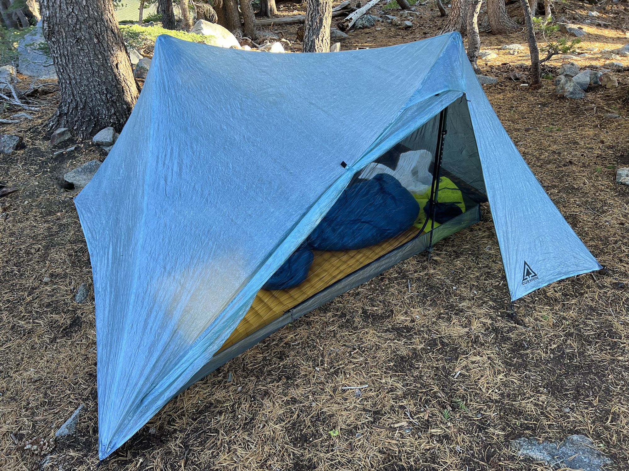
I had a new backpack and tent on this trip, the Durston Kakwa 40 and X-Mid Pro 2. I simplified my gear closet, opting for a medium-sized pack instead of a big and a small one. I also upgraded my trusty old ZPacks Duplex to the X-Mid Pro, partly inspired by the storms we experienced on the Sierra High Route in August. I also had a new, smaller BV450 bear canister since Desolation has started requiring them.
You can find my gear list on LighterPack.
Day 1: On the PCT
This was my first trip to Desolation since the 2021 Caldor Fire. The forest was black and charred for tens of miles along highway 50. The fire had come right up to Echo Lakes, although the firefighters had done a remarkable job saving all the buildings.
It was a warm fall morning. Walking along Echo Lakes with barely a breeze, I was already second-guessing my choice of not bringing shorts.
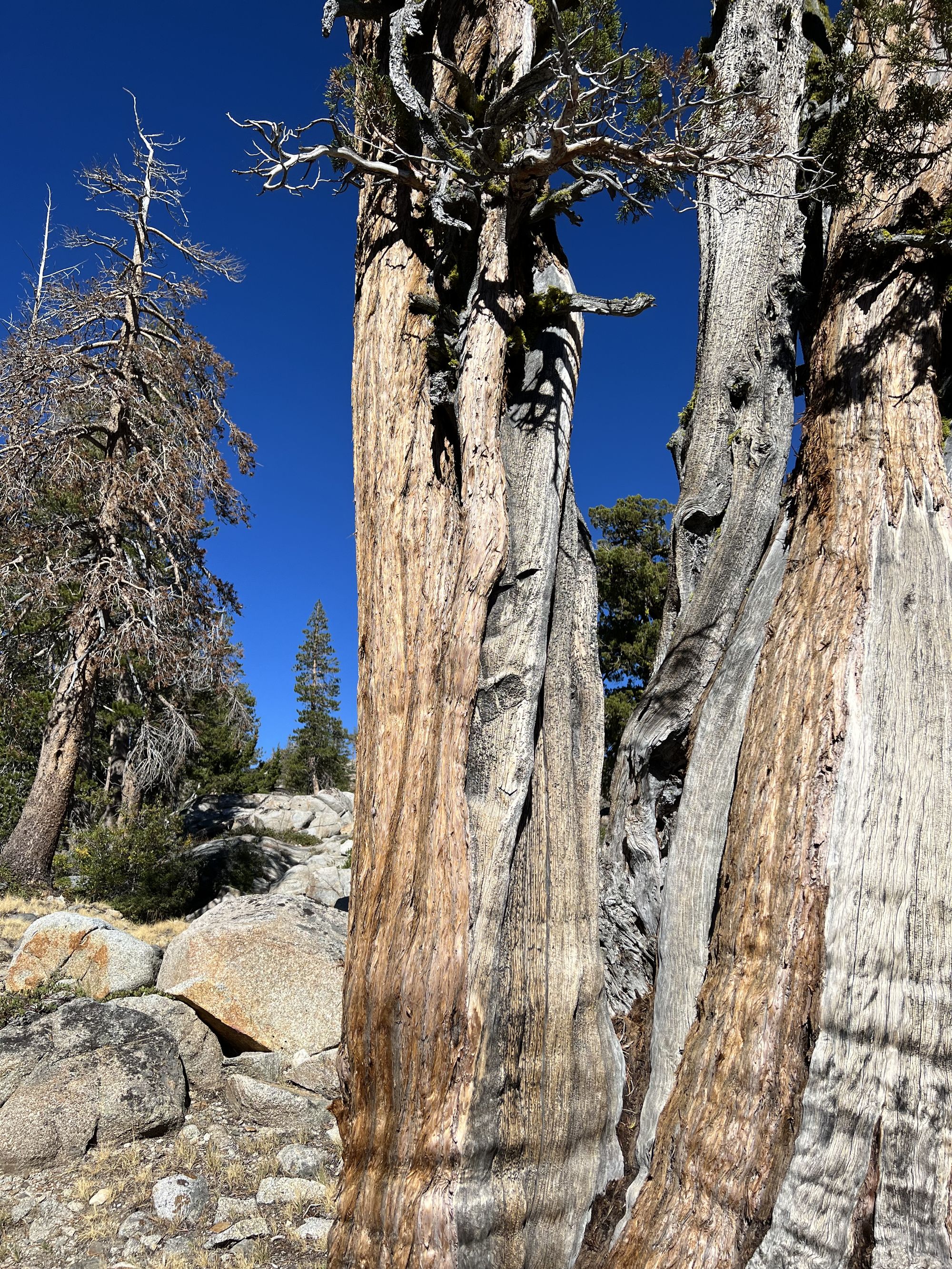
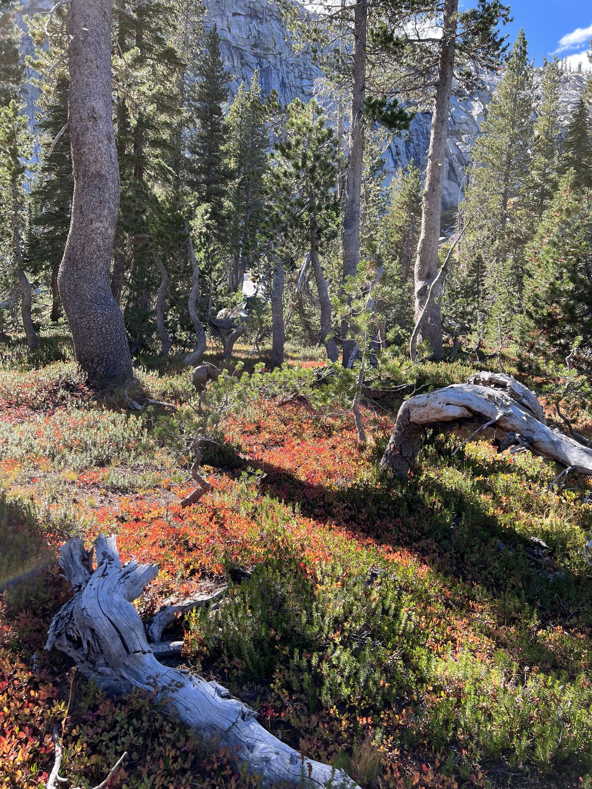
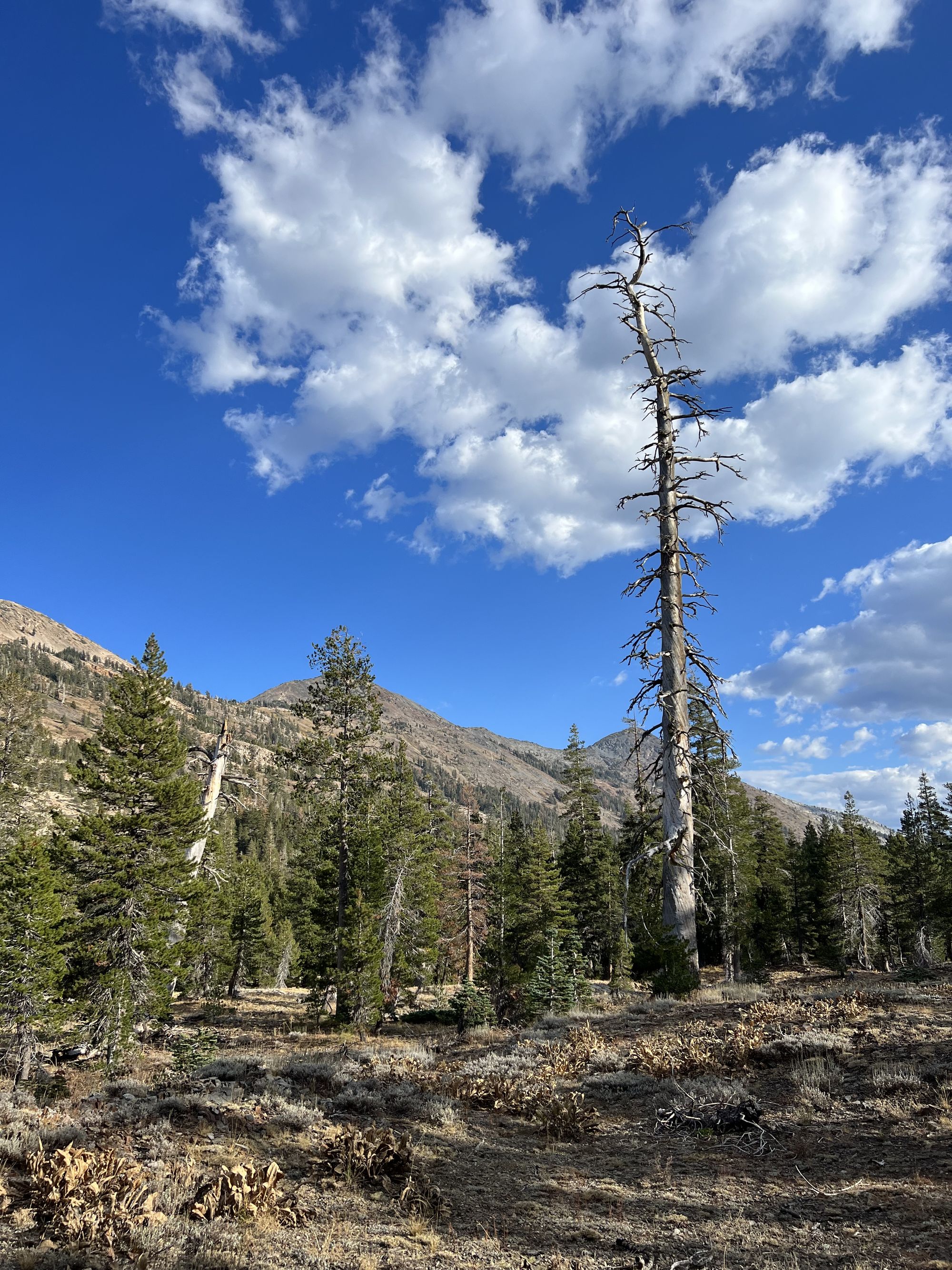
Most of my trips to Desolation have been early in the season, so this time I got to see a new side of it in fall colors. But it wasn't only the leaves that were in fall colors. California's prolonged drought is becoming more apparent each year, with more evergreens turning brown.
Lake Aloha was also feeling the drought. In places, it looked like you could walk across the lake bottom to the other side. It was interesting to see what the landscape must have looked like before Pyramid Creek was dammed up in the late 1800s.
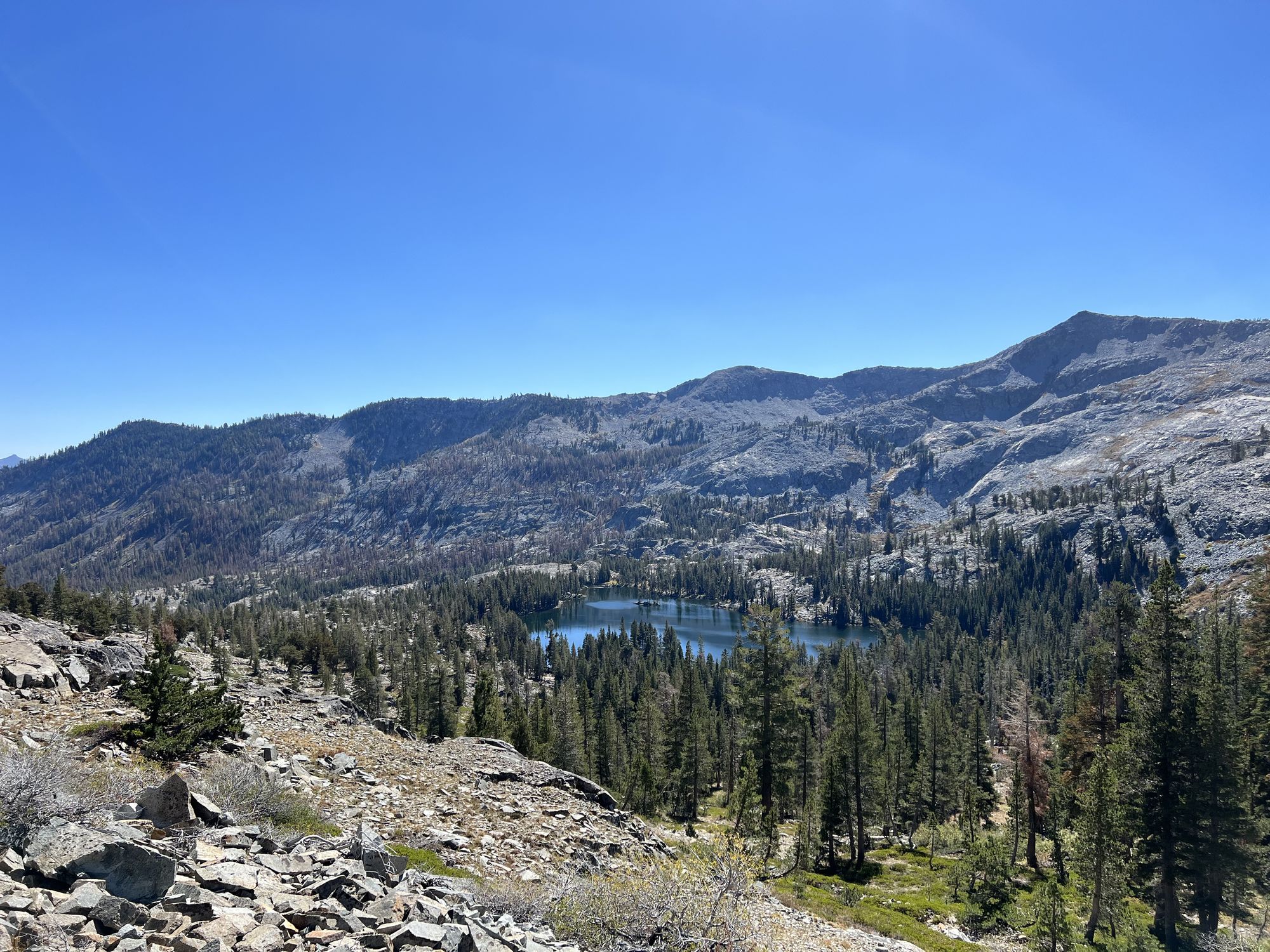
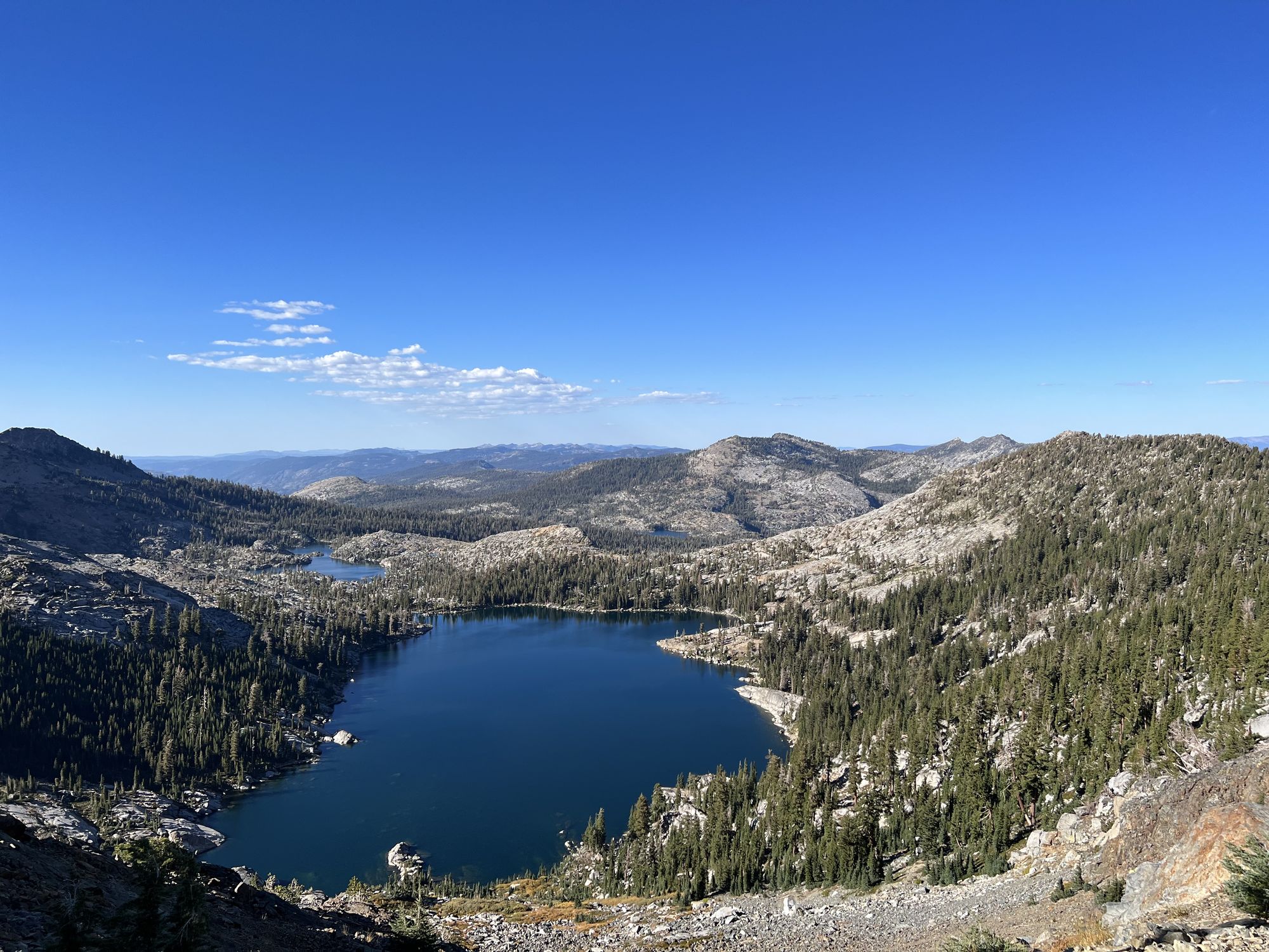
From Lake Aloha, I followed the trail down past Heather Lake and past Susie Lake to start my final climb up Dick's Pass. The hike up was sweaty, with the sun beating down on me, but the views were spectacular.
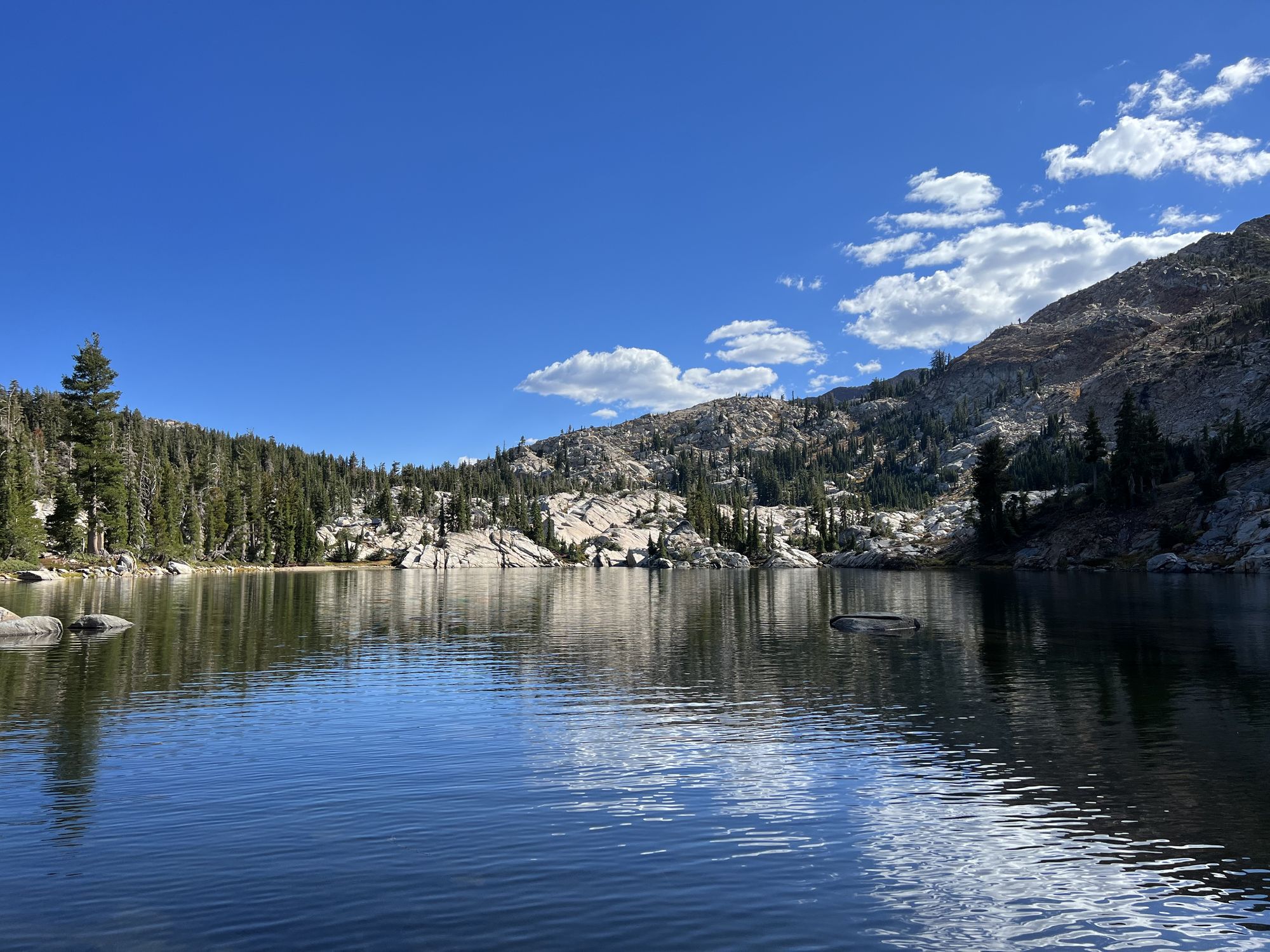
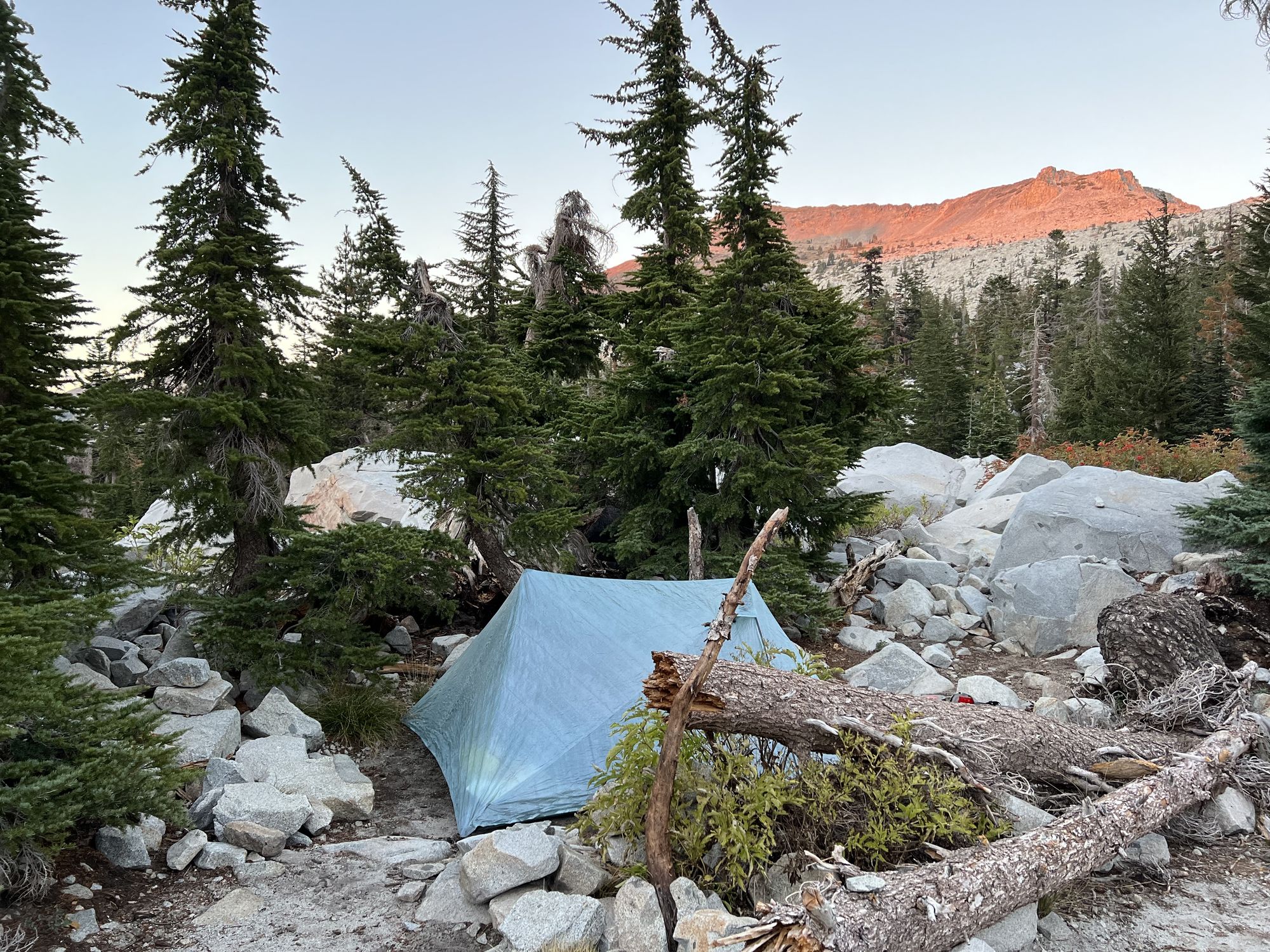
I stopped for a short snack break on top of the pass to enjoy the scenery before making my way down to Dick's Lake to set up camp. There were only two other campers around the lake, neither within view from me, so I got to enjoy a peaceful dinner on the lakeshore before turning in for the night.
Day 2: Exploring the northwest territories
The second day was going to be the long one. I ate breakfast and packed up camp at a leisurely pace, not getting out of camp until after 8. I had a short section of PCT left before heading west to explore the less-traveled parts of Desolation.
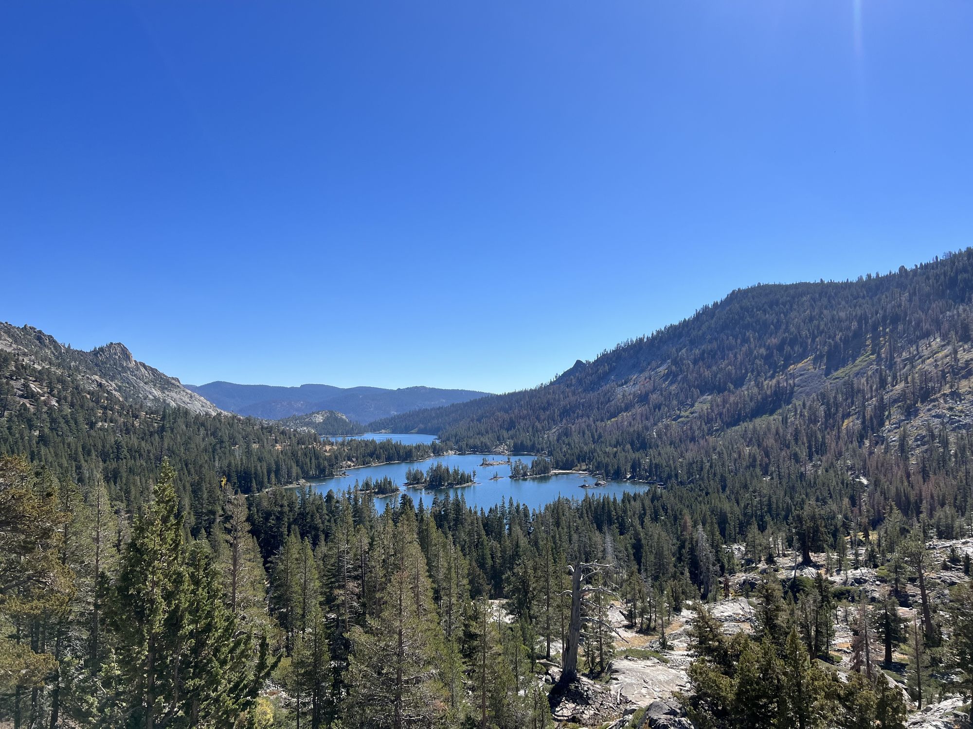
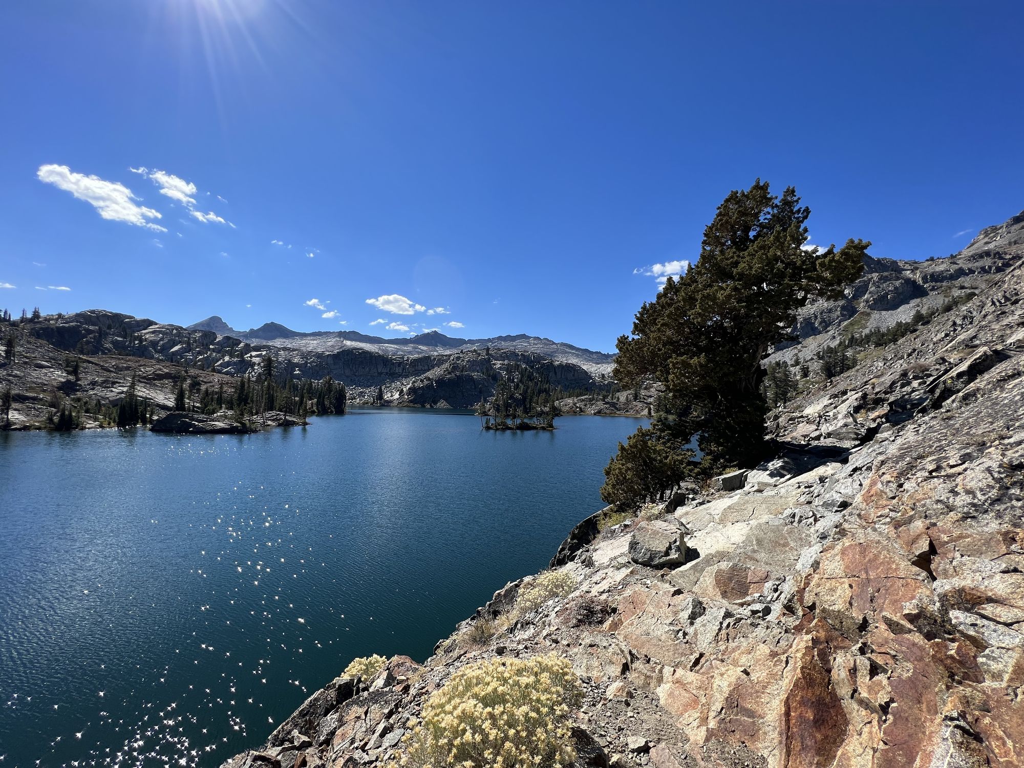
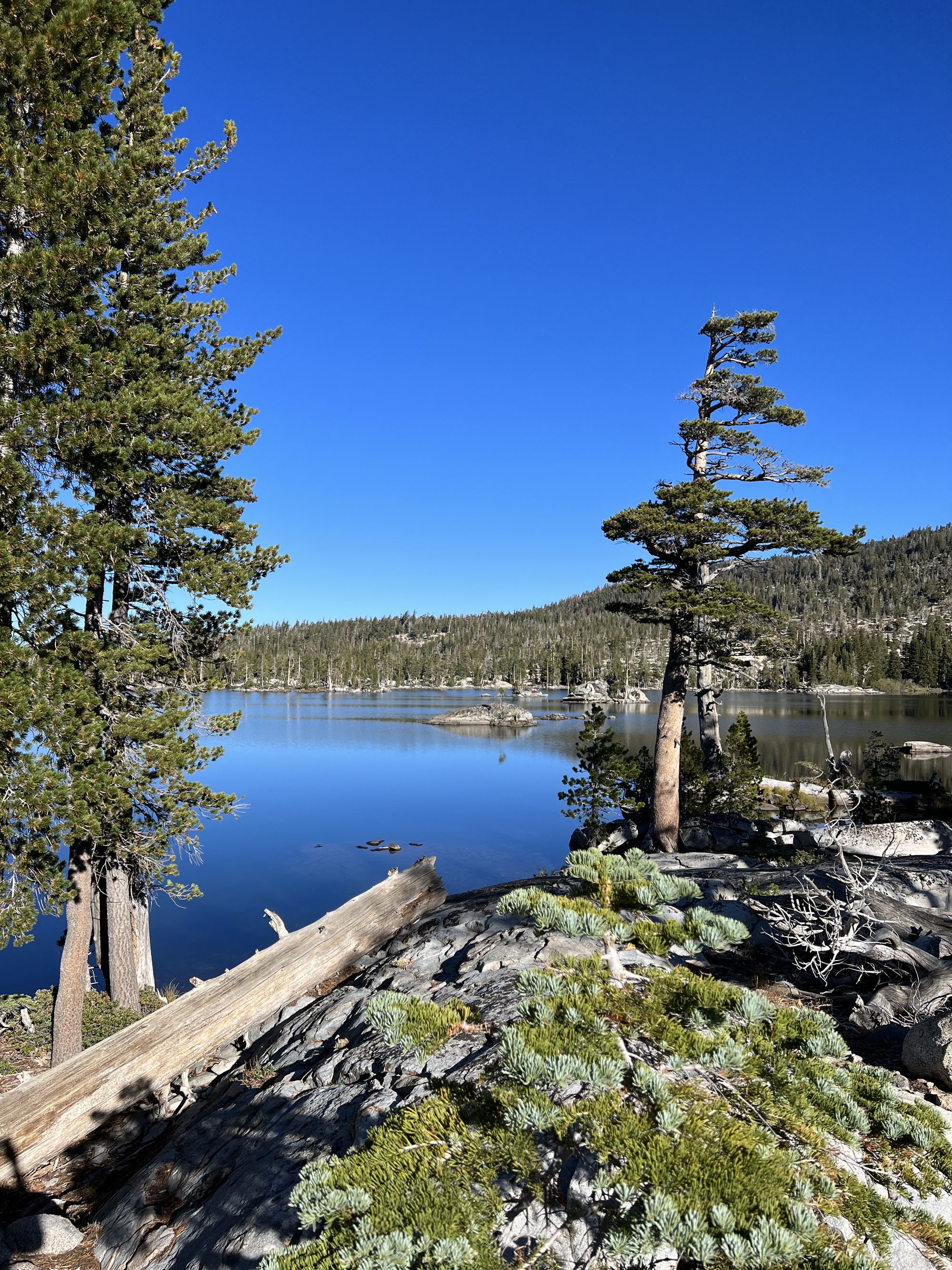
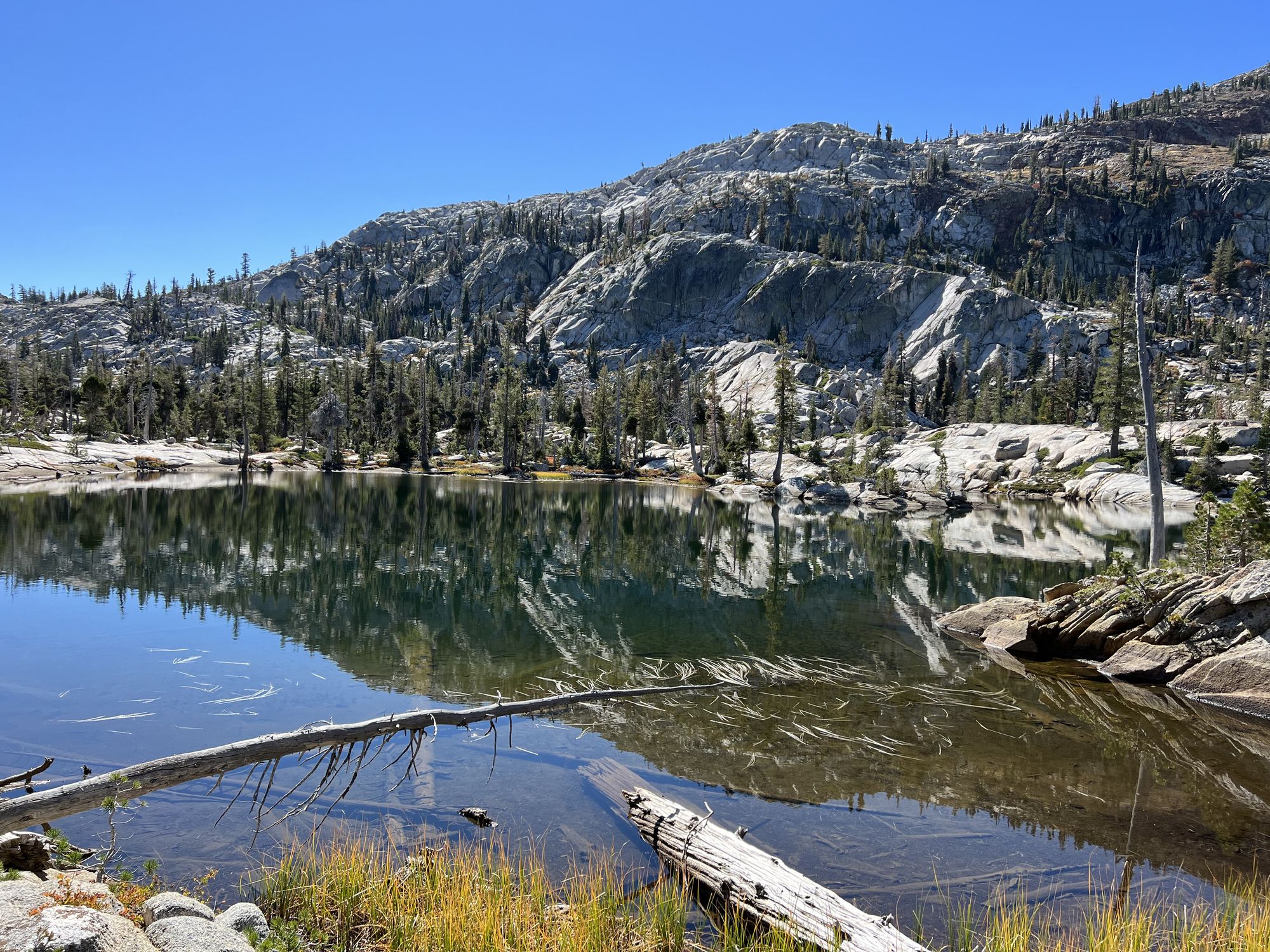
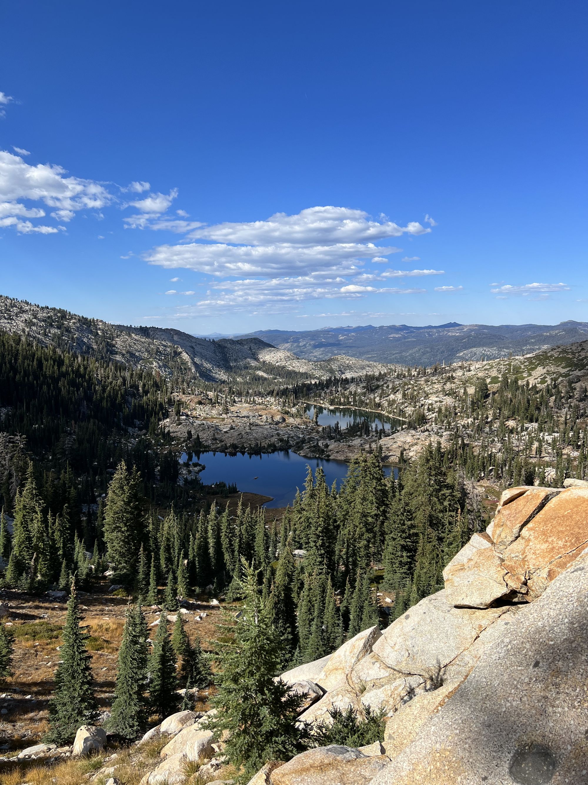
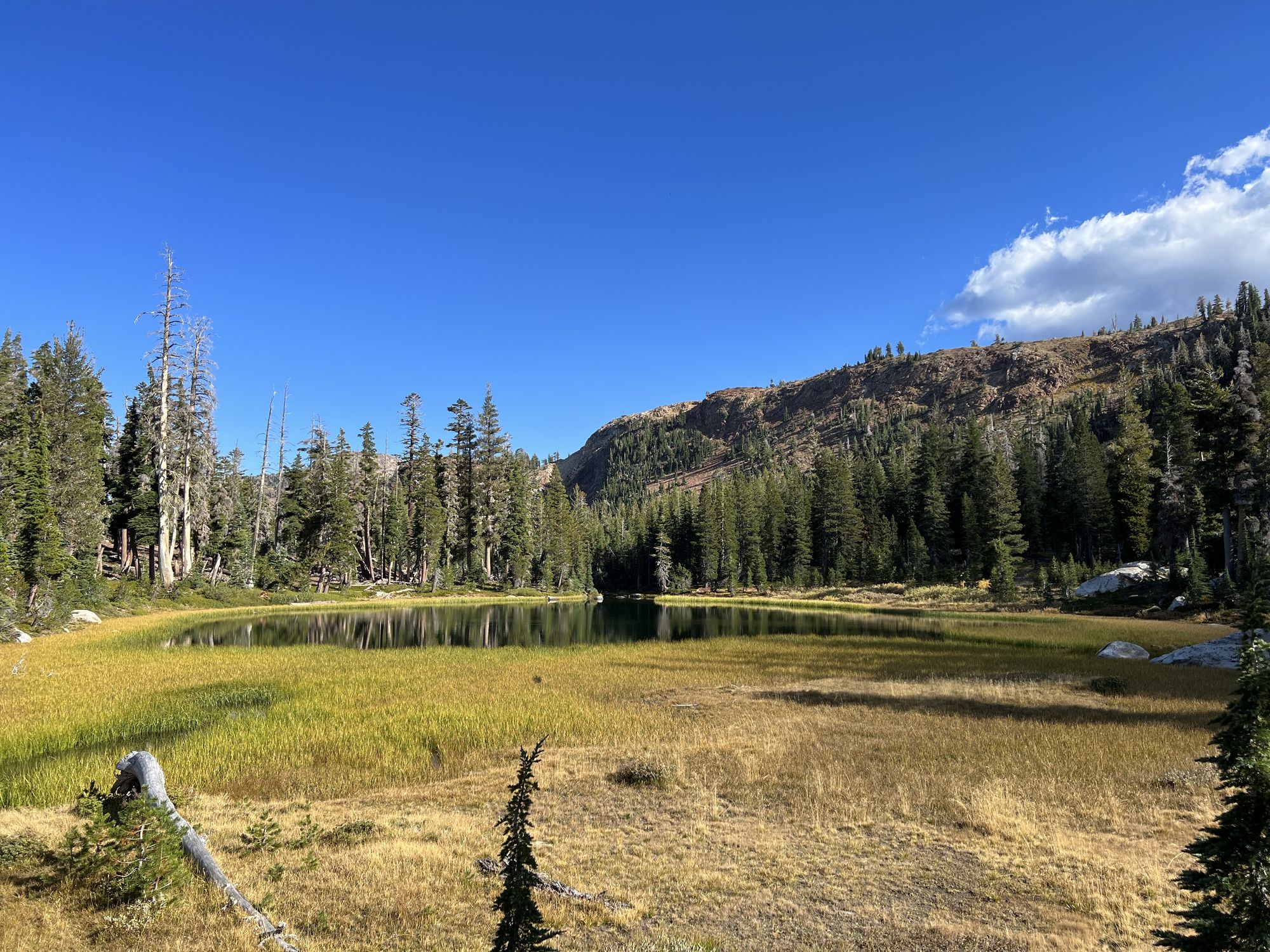
I enjoyed a second morning coffee on the shore of Middle Welma Lake. I'd walked past the lake several times in the past, and I wanted to see it up close finally. There were a few campers at the lake, but nowhere near the crowds earlier in the season.
The trail down to the Rubicon River was easygoing, a gentle downhill the entire way. I spoke briefly with another backpacker coming from Schmiddell lake. He ended up being the last person I'd see that day until I got to camp.
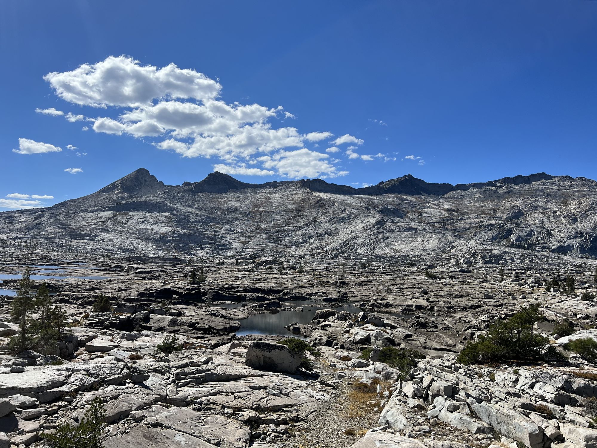
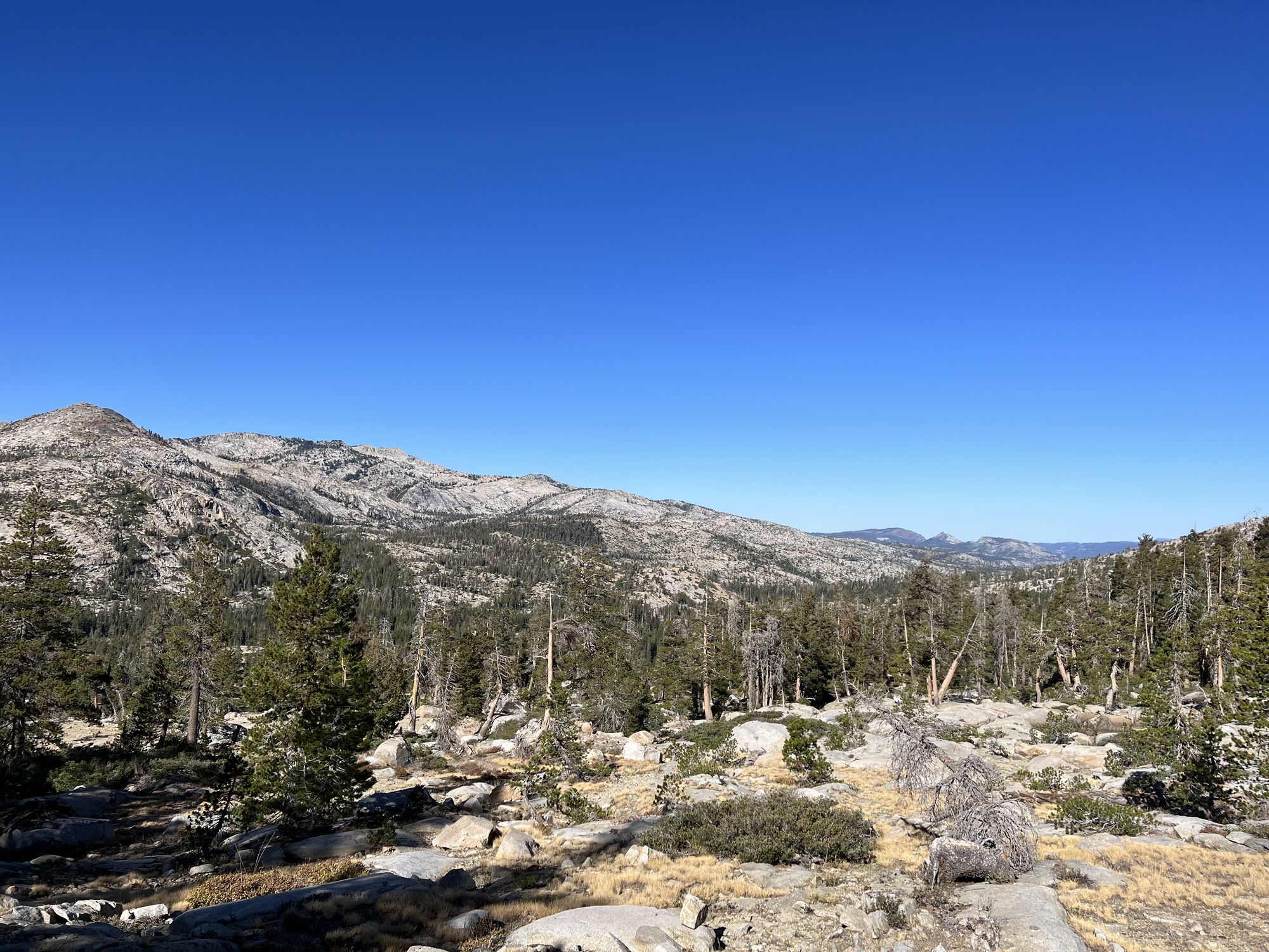
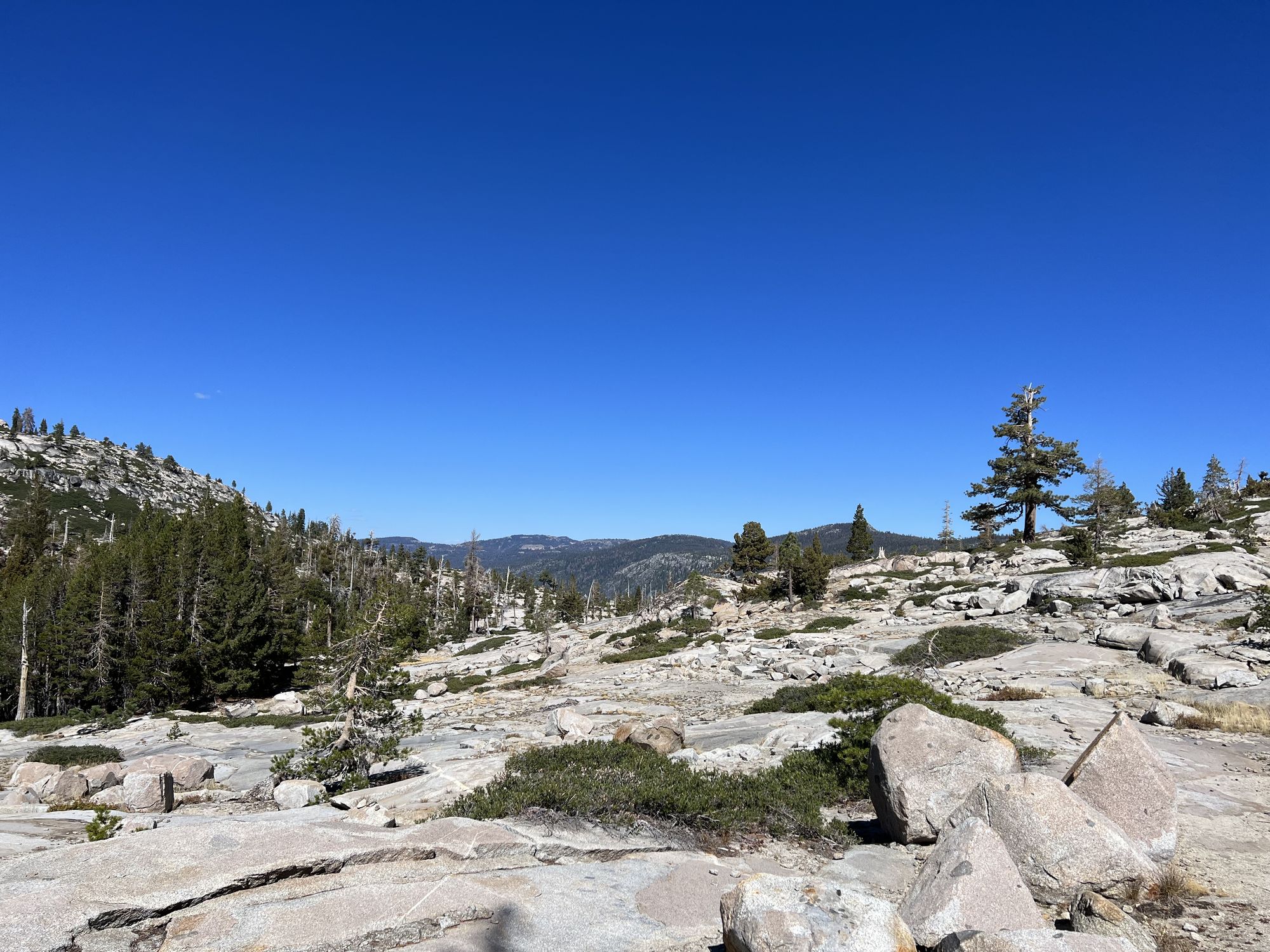
Getting off the Rubicon Trail, it quickly became apparent I was going where many others hadn't gone before. The only evidence of a trail was decades-old blazes on trees and cairns here and there. I tried following the path the best I could but spent so much time route-finding that I would never make it to camp before dark. So instead, I treated it as off-trail navigation and traveled on a heading, crossing evidence of the trail every once in a while.
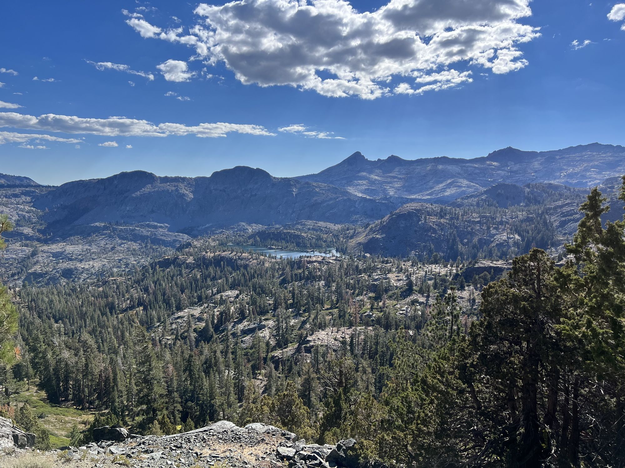
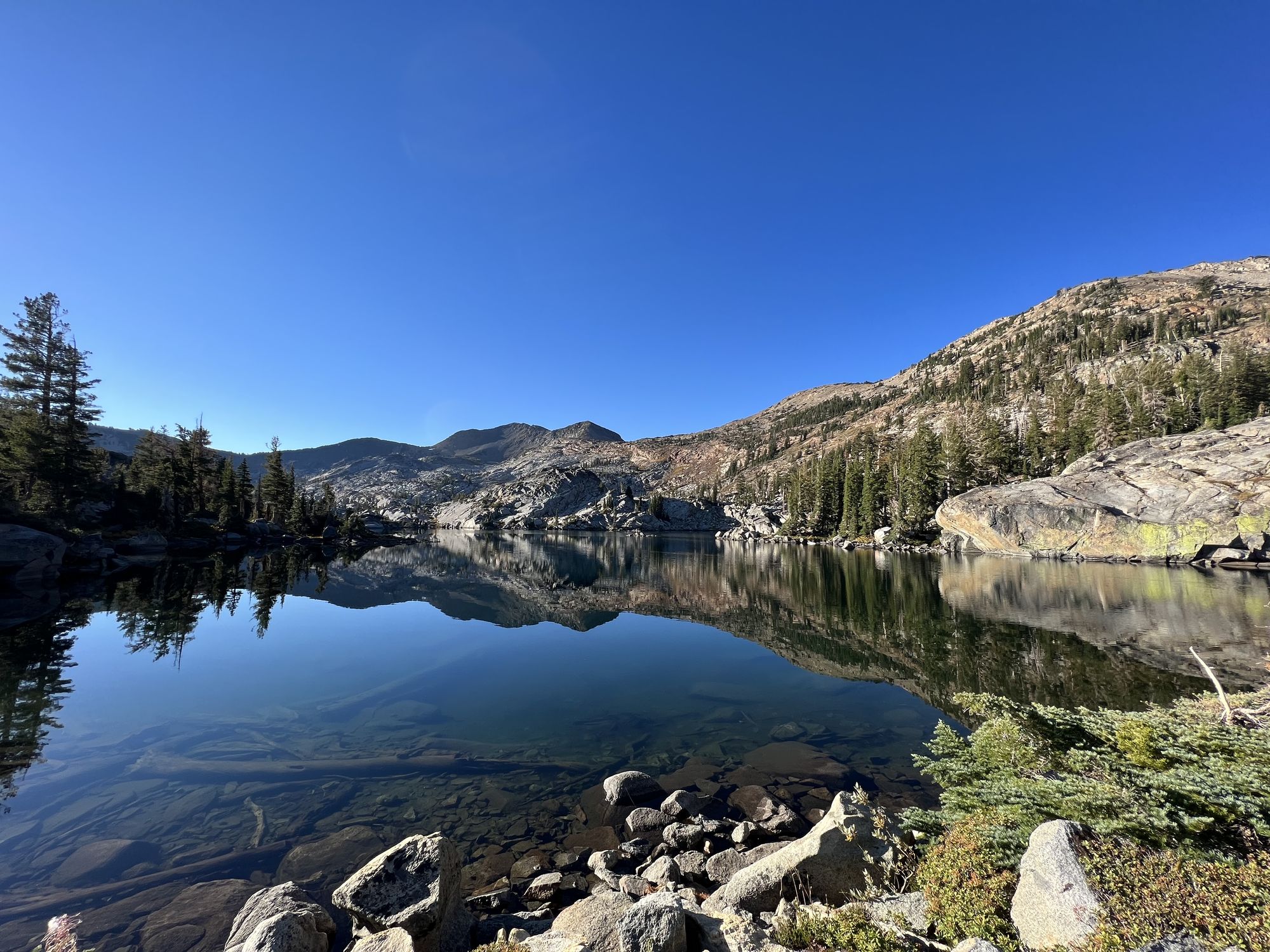
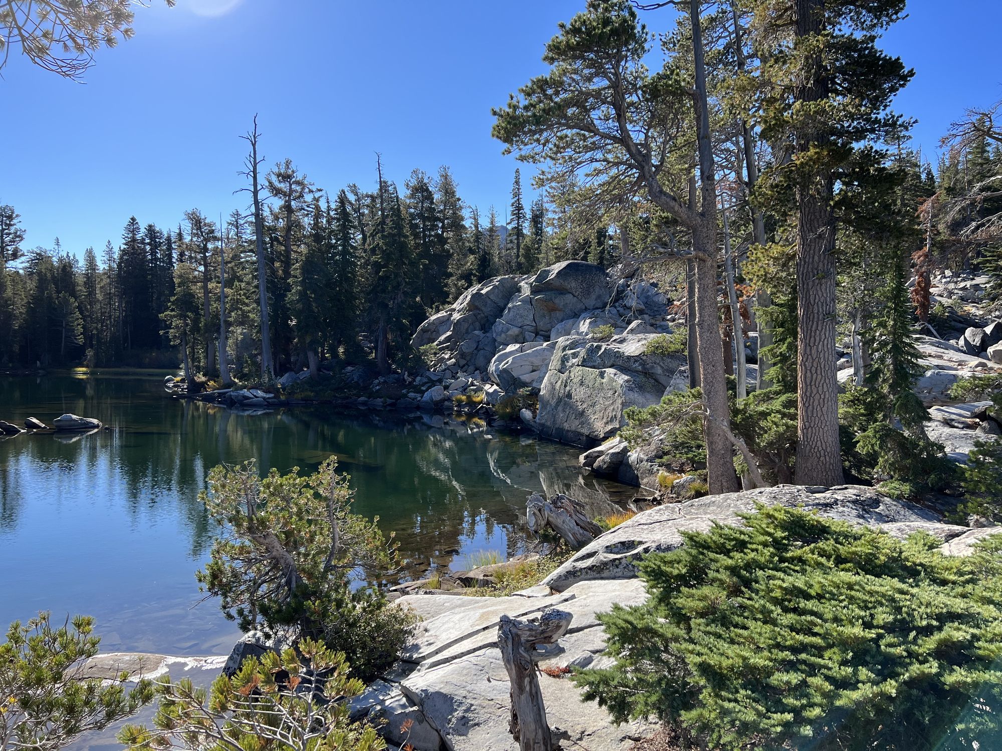
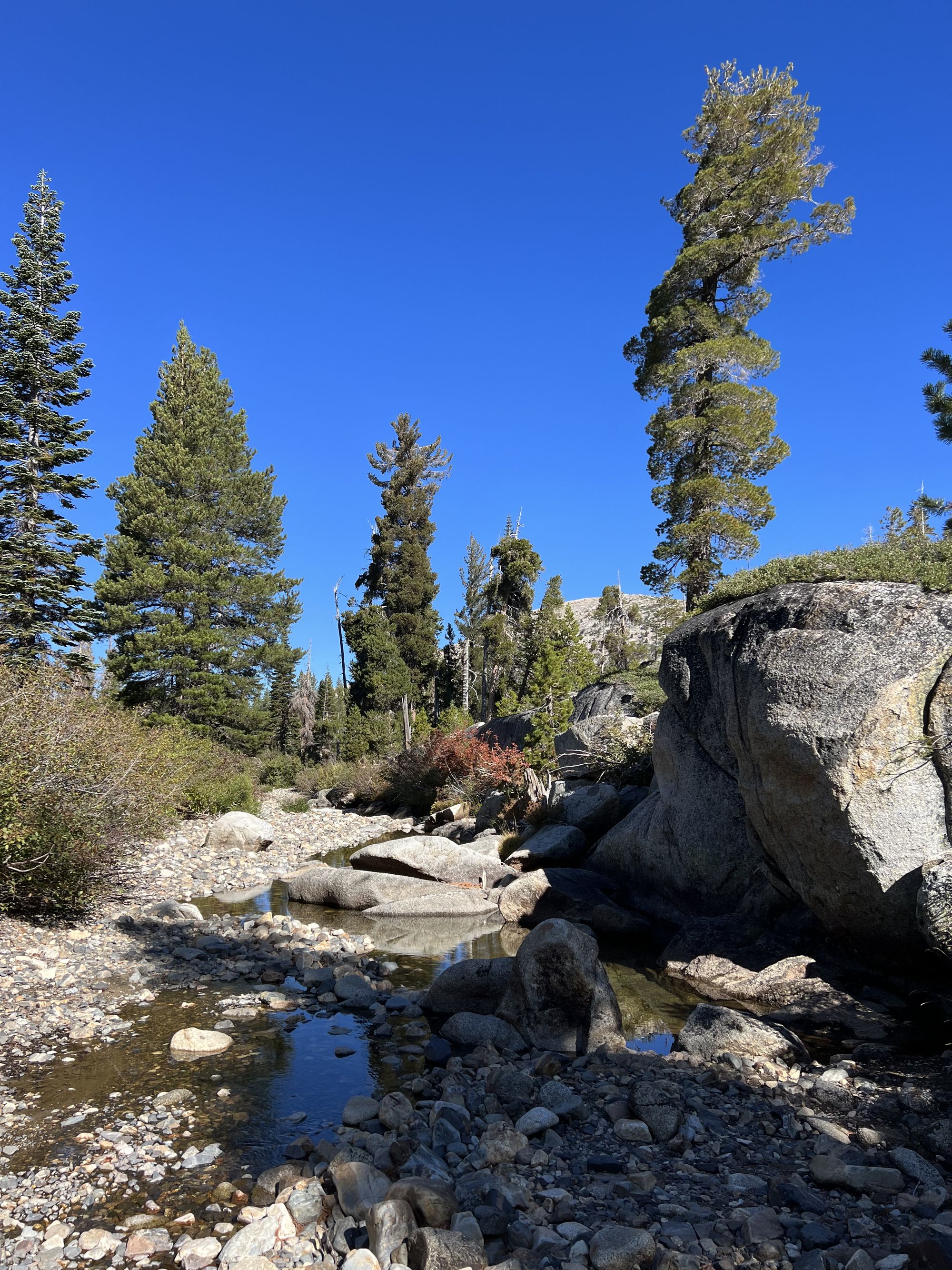
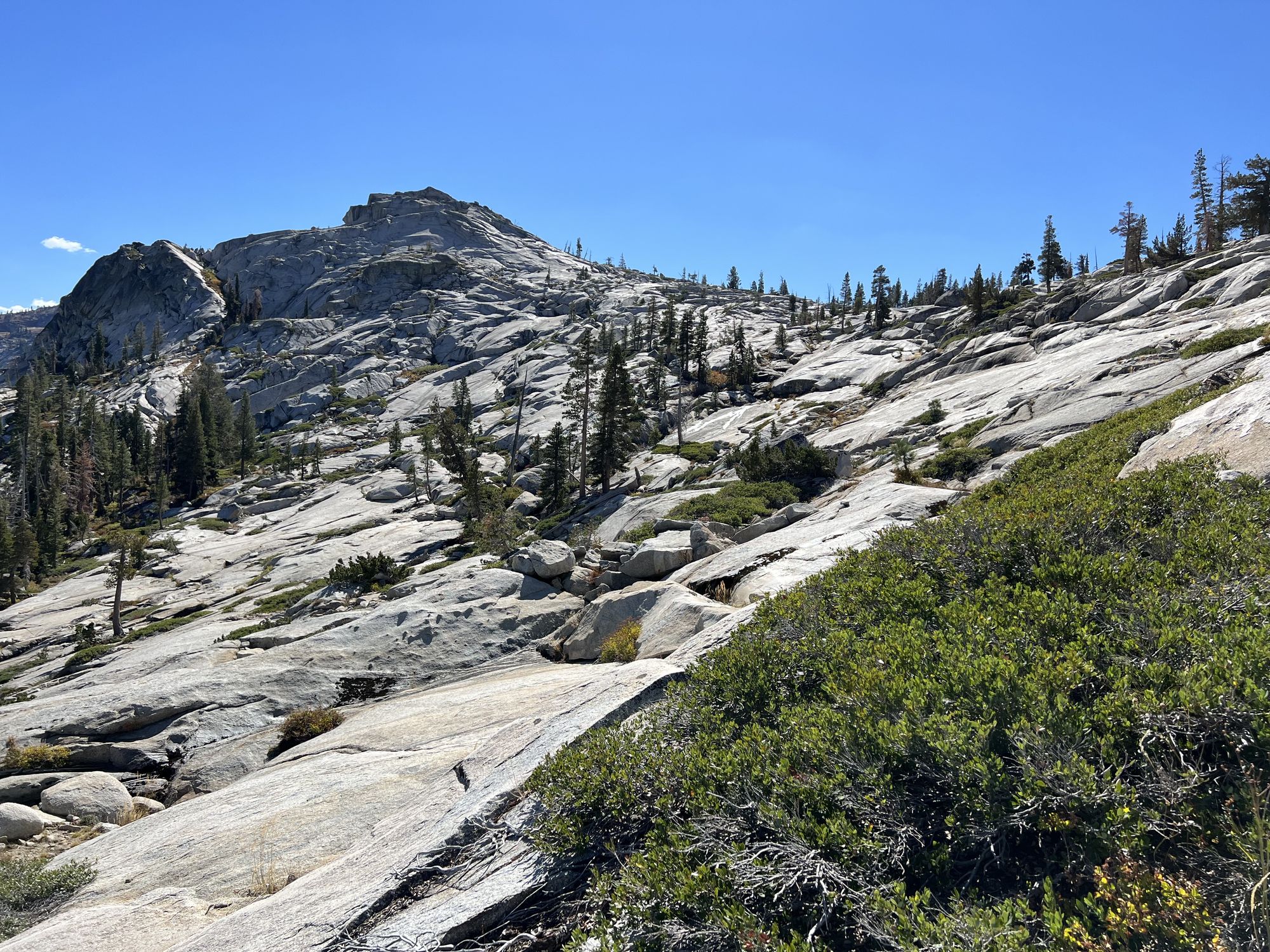
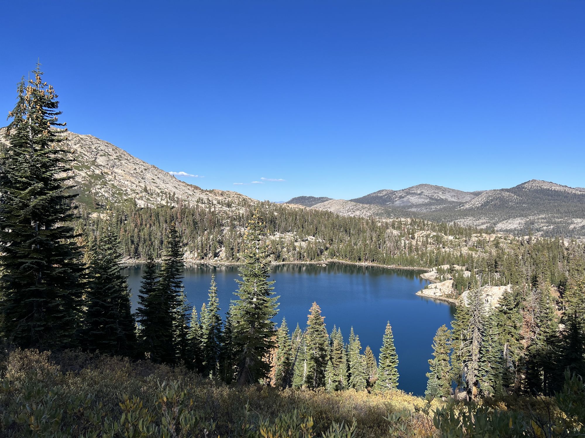
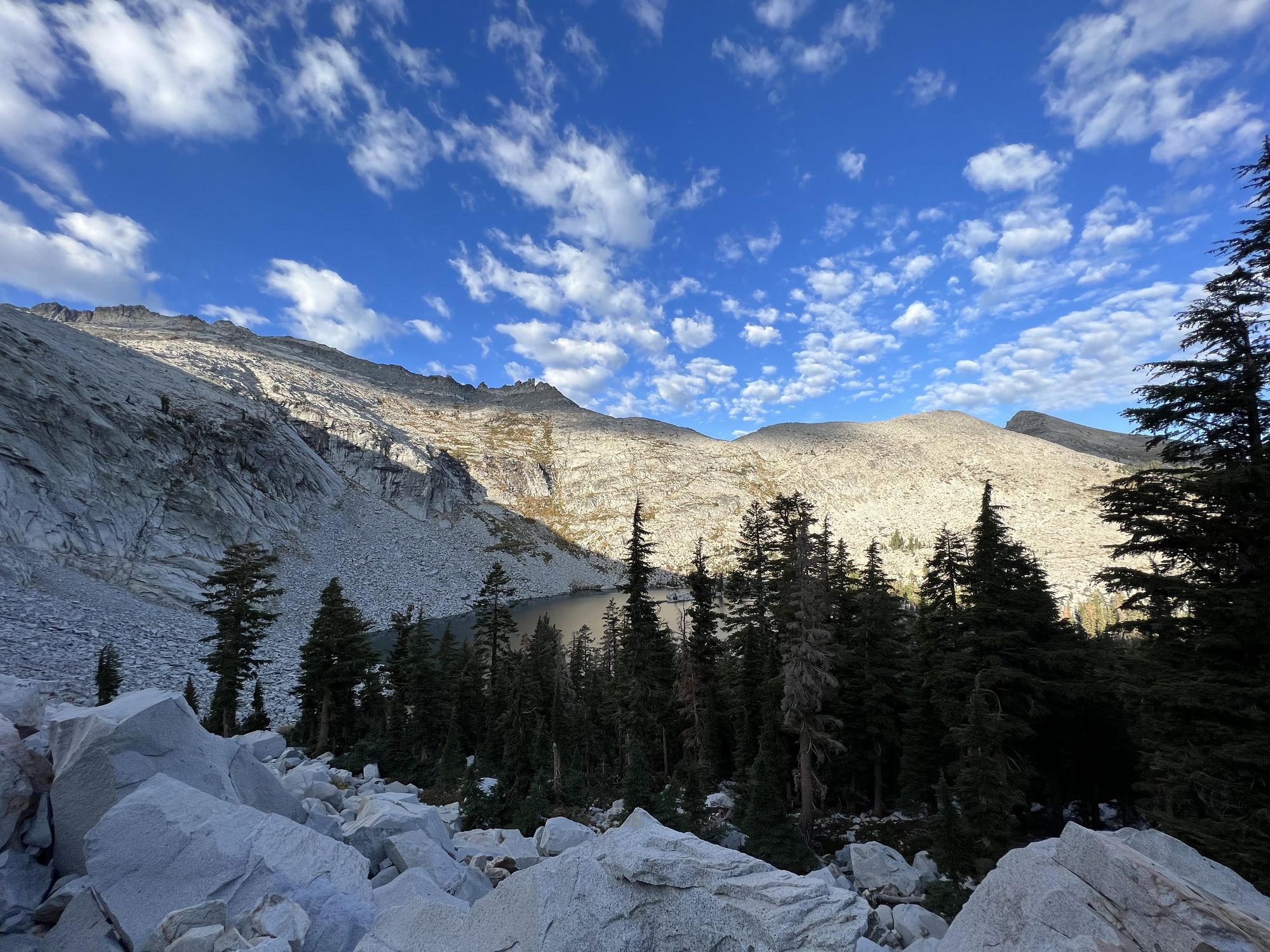
I ate lunch and washed up at an unnamed creek flowing out of Horseshoe Lake. Past McConnell lake, the trail became more defined as it climbed up to the saddle above Schmiddell Lake. At the Lake, I decided to head back down to the Rubicon Trial instead of going to Lake Loise as it was getting late.
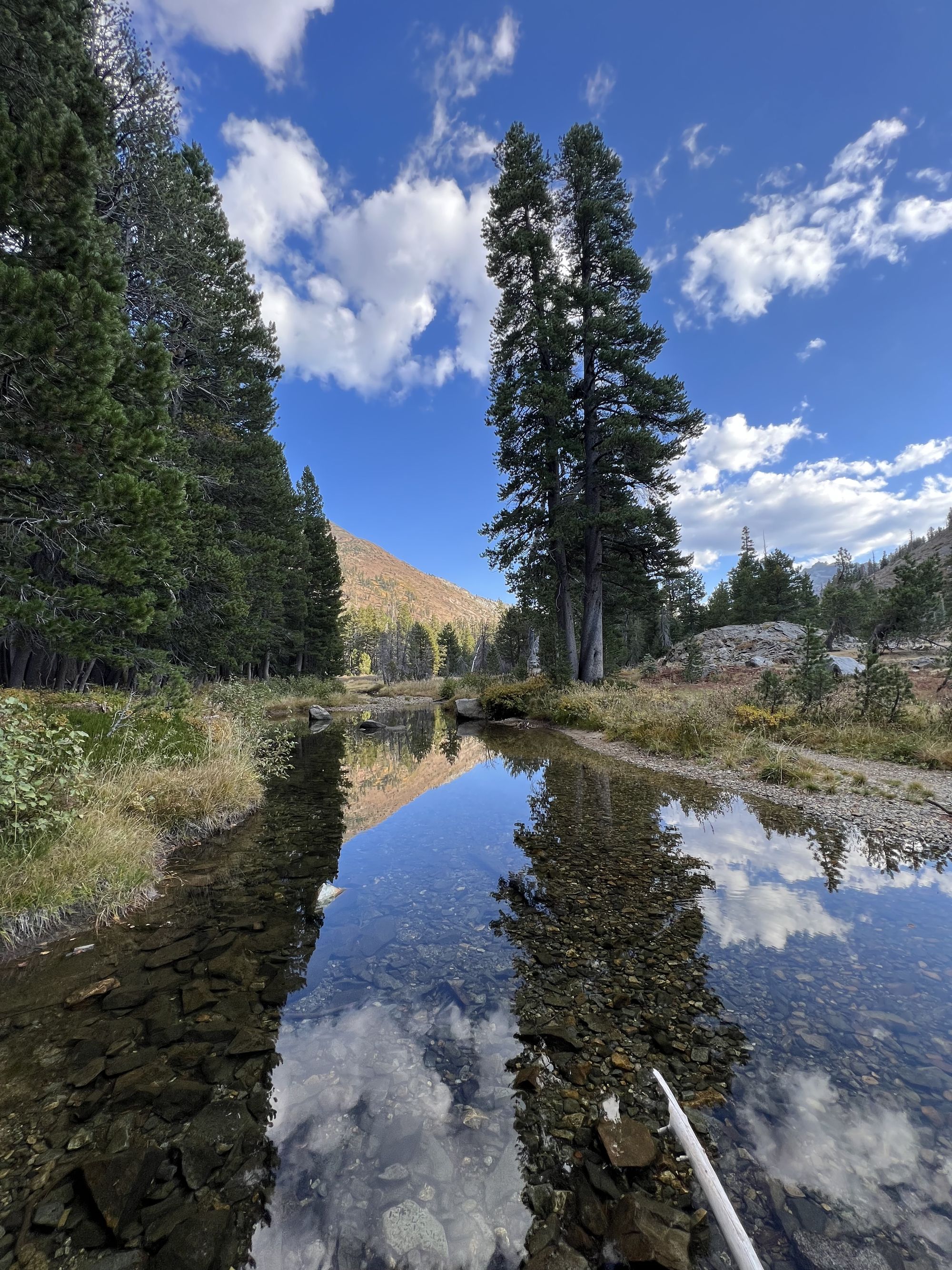
The Rubicon Trail was thankfully easy to walk, and the river crossings were almost dry, which saved me from getting my feet wet at the end of a long day.
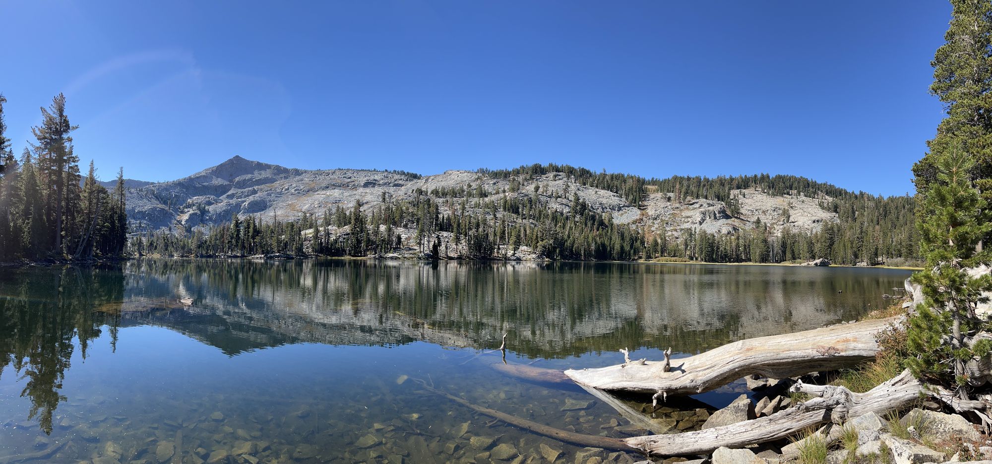
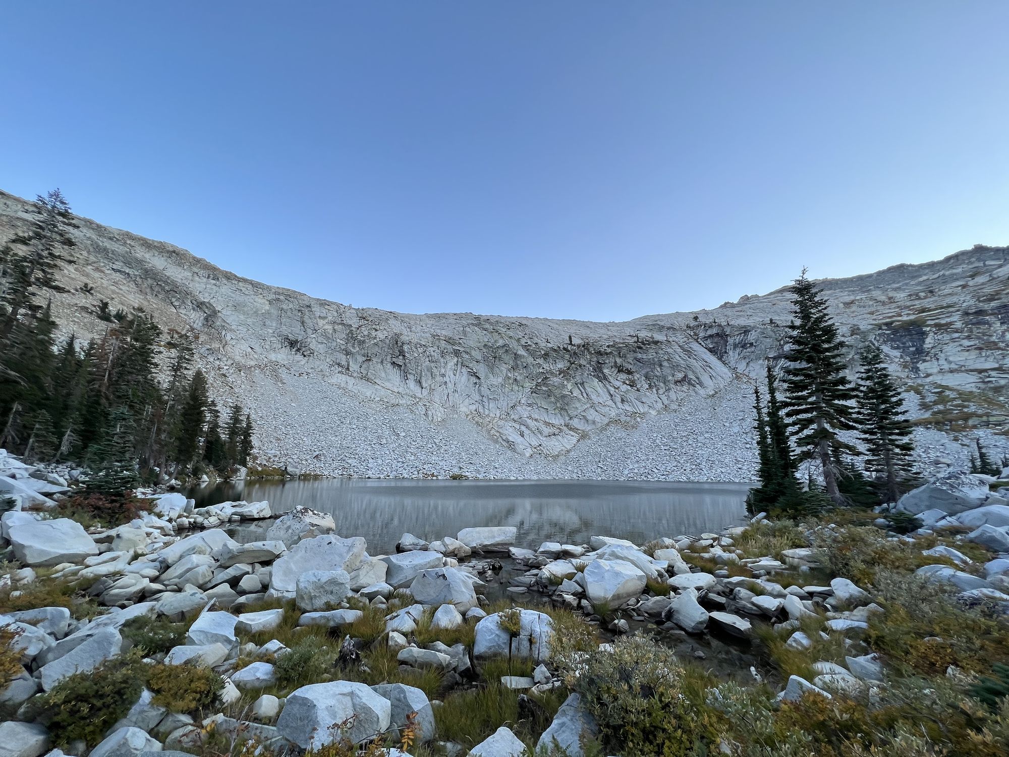
I was exhausted by the time I got to the trail junction for Clyde Lake. The 200 ft rocky descent felt never-ending. Finally, at the lake, I ran into another group of three backpackers who had just set up camp. Thankfully, one campsite was still left a little further from where they had set up. The shore was so rocky that finding a flat area big enough for my tent was tricky.
Tired, I set up my camp in the last light before getting started on dinner. After dinner, I stayed up a while talking with the other backpackers as the full moon rose over the mountains.
Day 3: Back on the highway
I woke up still tired from the long day before so I made myself a double coffee to go with my breakfast.
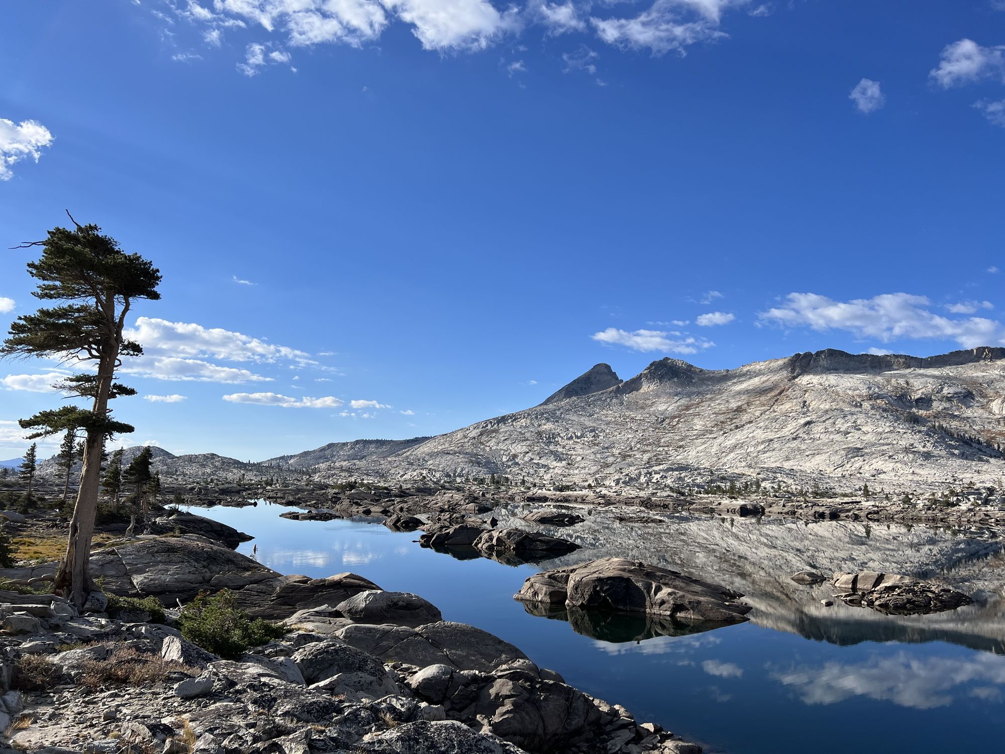
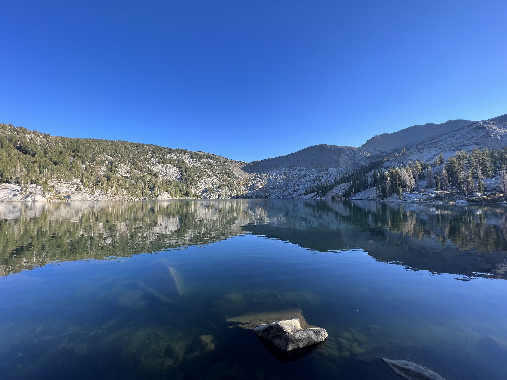
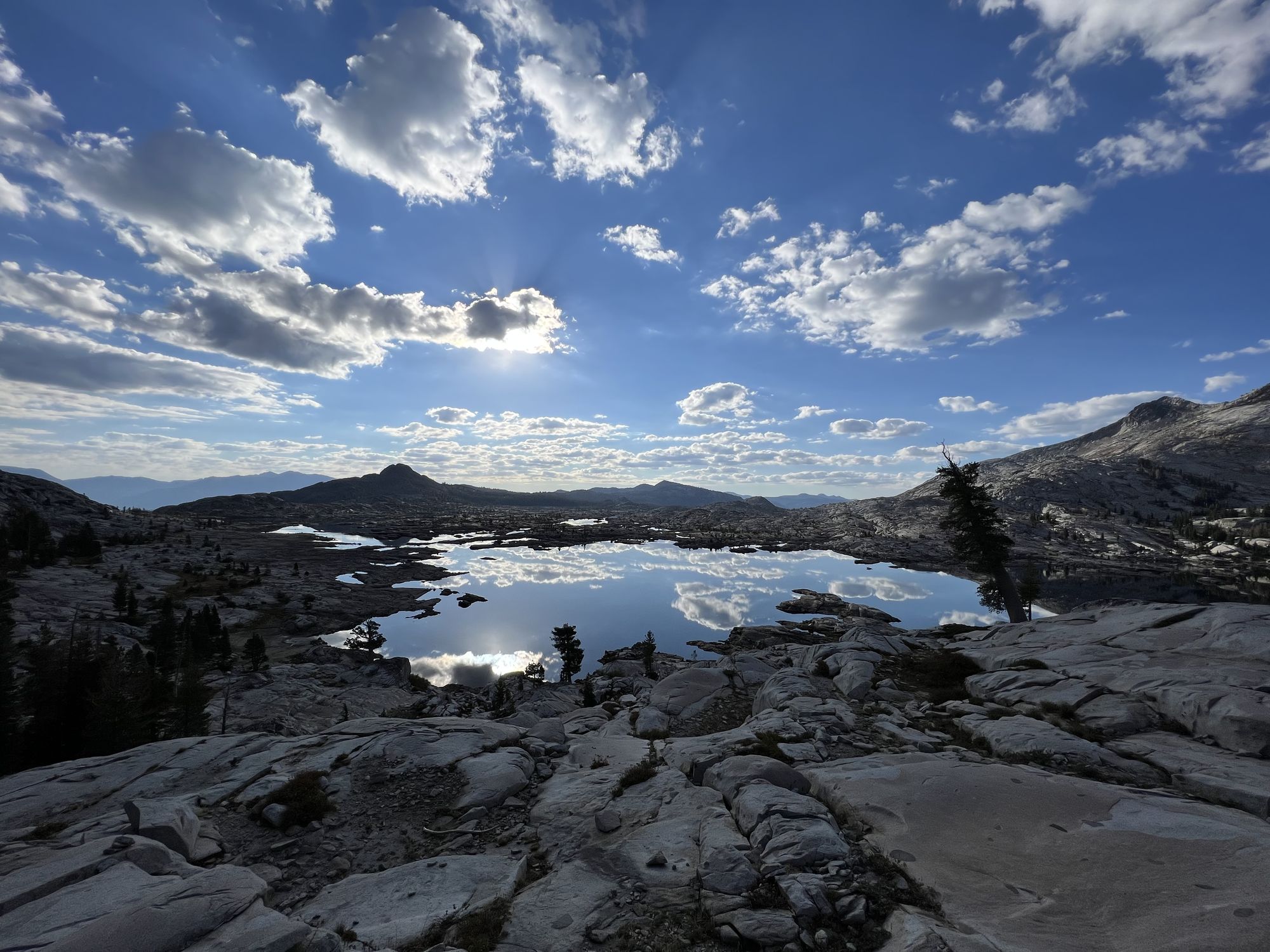
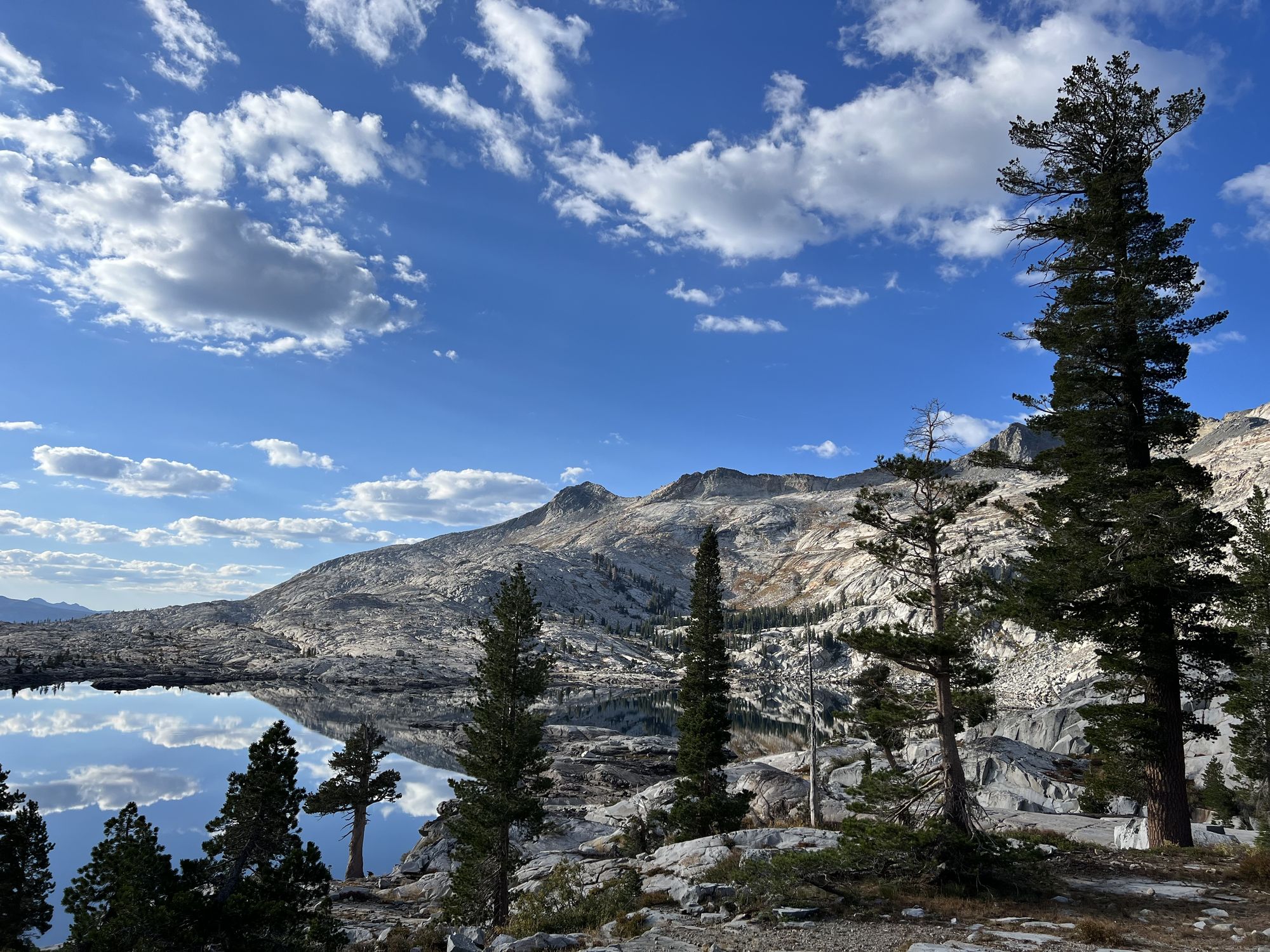
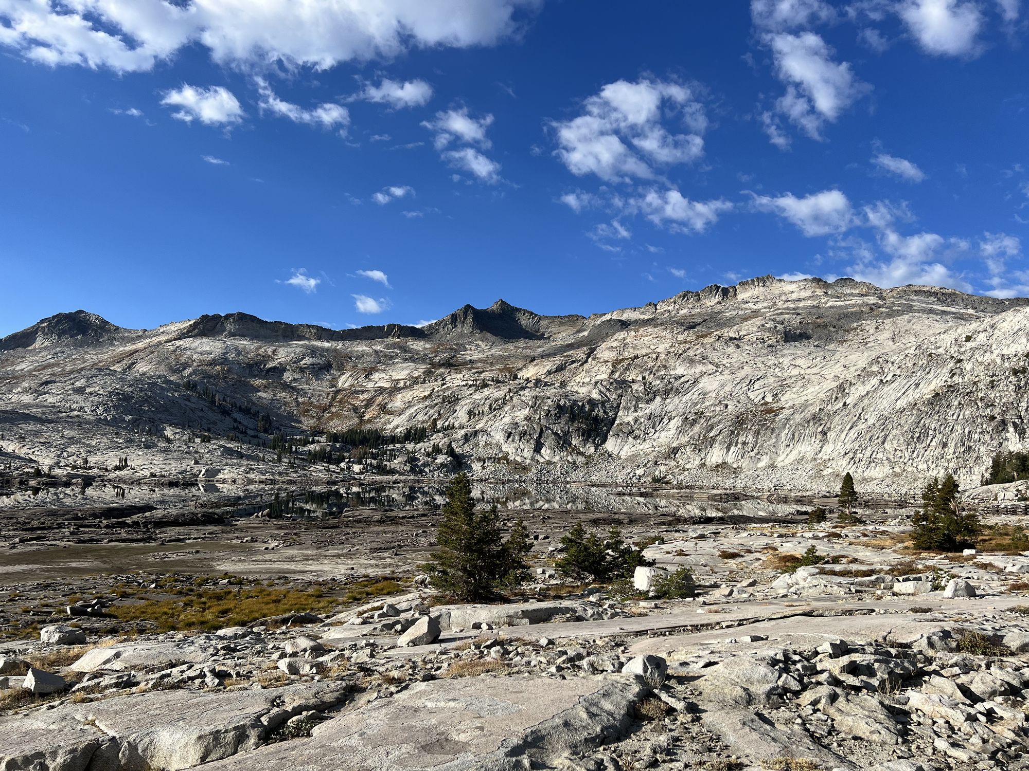
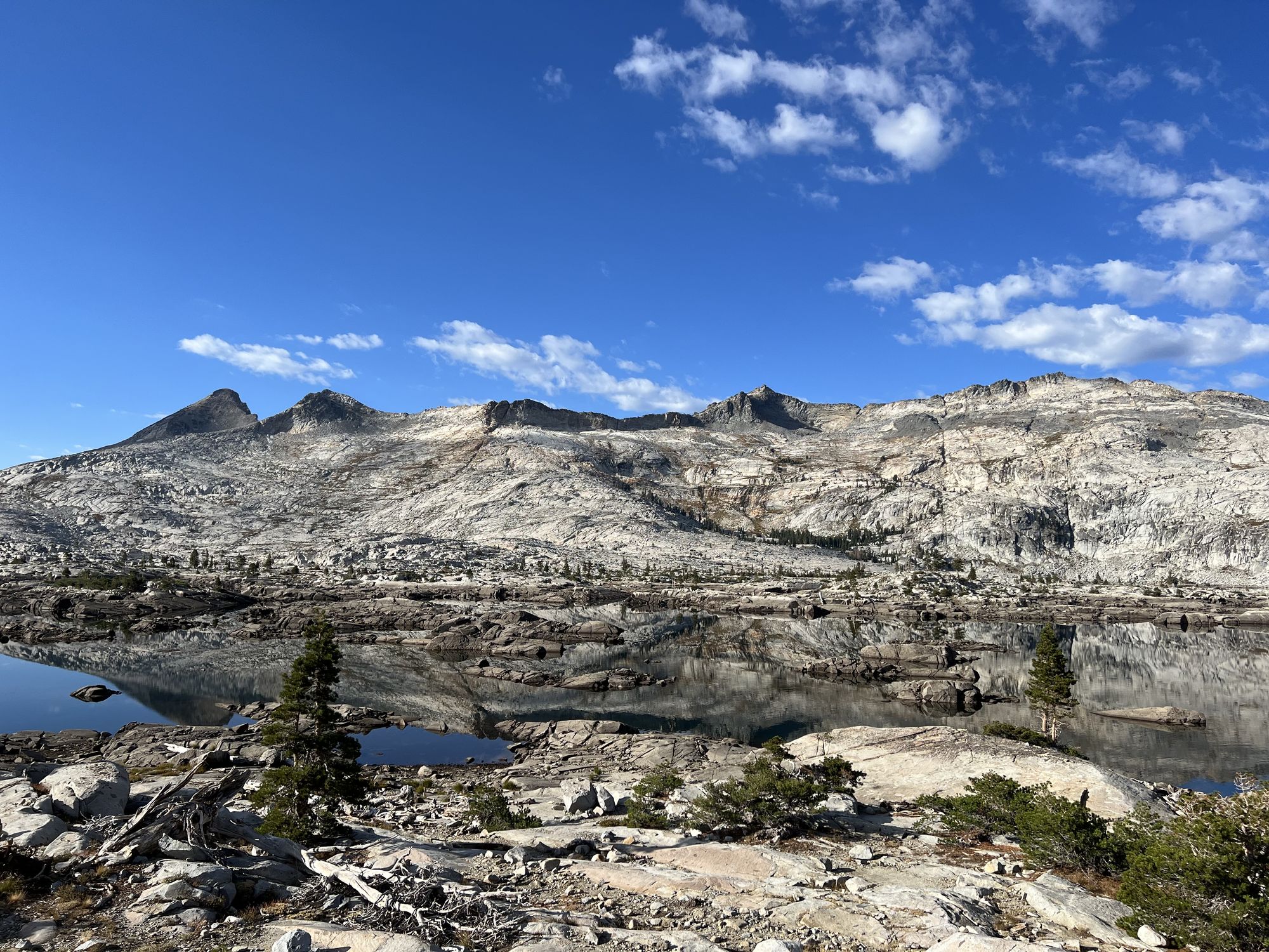
The hike back up from the lake felt much shorter after a night's rest than the day before. I continued over Mosquito Pass and was greeted by an incredible sight. The air was completely still. The surface of Lake Aloha was like a mirror, reflecting the early morning sun hitting the clouds and surrounding mountains.
The landscape felt otherworldly. The lake almost vanished out of sight as it perfectly reflected the rocky landscape around it.
Back on the PCT, I hit traffic. Lake Aloha was packed with campers - tens of campsites along the lakeshore. I had only met one person the entire day before. Now, I had already seen nearly a hundred before 9 in the morning.
The way back to Echo Lakes was easygoing, mostly downhill. I passed dozens of more backpackers on the way out.

Final thoughts
It's easy to see why Desolation Wilderness is one of the most visited wilderness areas in the country. The good (and bad) thing is that 90+% of those people stay on the PCT corridor. So if you want to find some desolation in Desolation Wilderness, all you have to do is venture off the PCT and explore some of the less-visited areas.