Hetch Hetchy backpacking trip (3 days, 31 miles)
Early May backpacking trip to Hetch Hetchy: Lake Vernon, Tilltill Creek, Tiltill Valley, Rancheria Falls, Wapama Falls.
Trip date: May 7-9, 2021.
The third time’s the charm. After two unsuccessful plans to hike in Hetch Hetchy (the first one because of an early snowstorm and the second because of COVID closures), I was finally headed to explore the northern parts of Yosemite National Park. I was joined by Brandon and Steve, the same guys I backpacked with in Kings Canyon last summer, certified ultralight nerds and awesome adventurers.
We turned off the 120 onto the small forest route to Hetch Hetchy just as the sun was dipping below the mountains. The sign warned us that Hetch Hetchy is only open for day use between 8 am and 5 pm. We planned to stay at the backpackers’ campground, so we figured we should be fine.
30 minutes later, we rolled up to a closed gate. Sure enough, the access road to the reservoir was closed for the night. Crap.
We turned the car around, looking for spots we might be able to make camp along the narrow road. The problem was that we didn’t bring enough water with us, and we were on a dry ridge. Fortunately, Brandon had a friend with a cabin in Groveland that we could sleep in for the night.
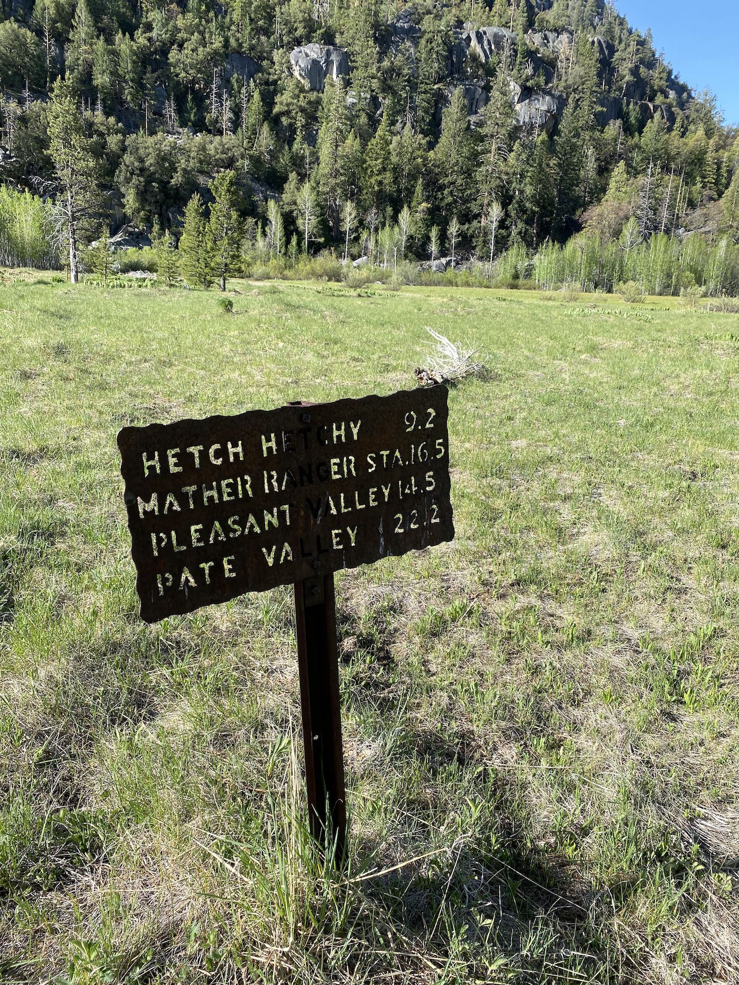
Day 1: Hetch Hetchy to Lake Vernon
Early next morning, we headed back up to the park. We picked up our permit and hit the trail a little after nine.
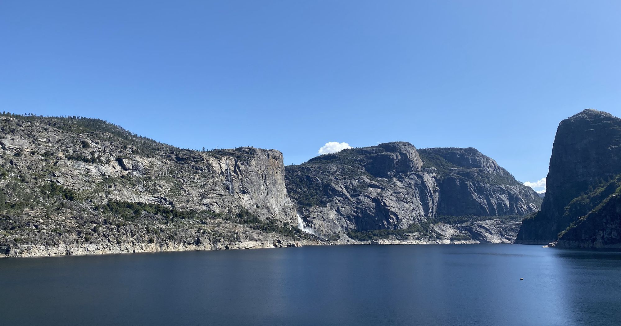
The sun was shining from a clear blue sky and there was only a slight breeze disturbing the surface of the lake. The air was already warm although it was an early May morning.
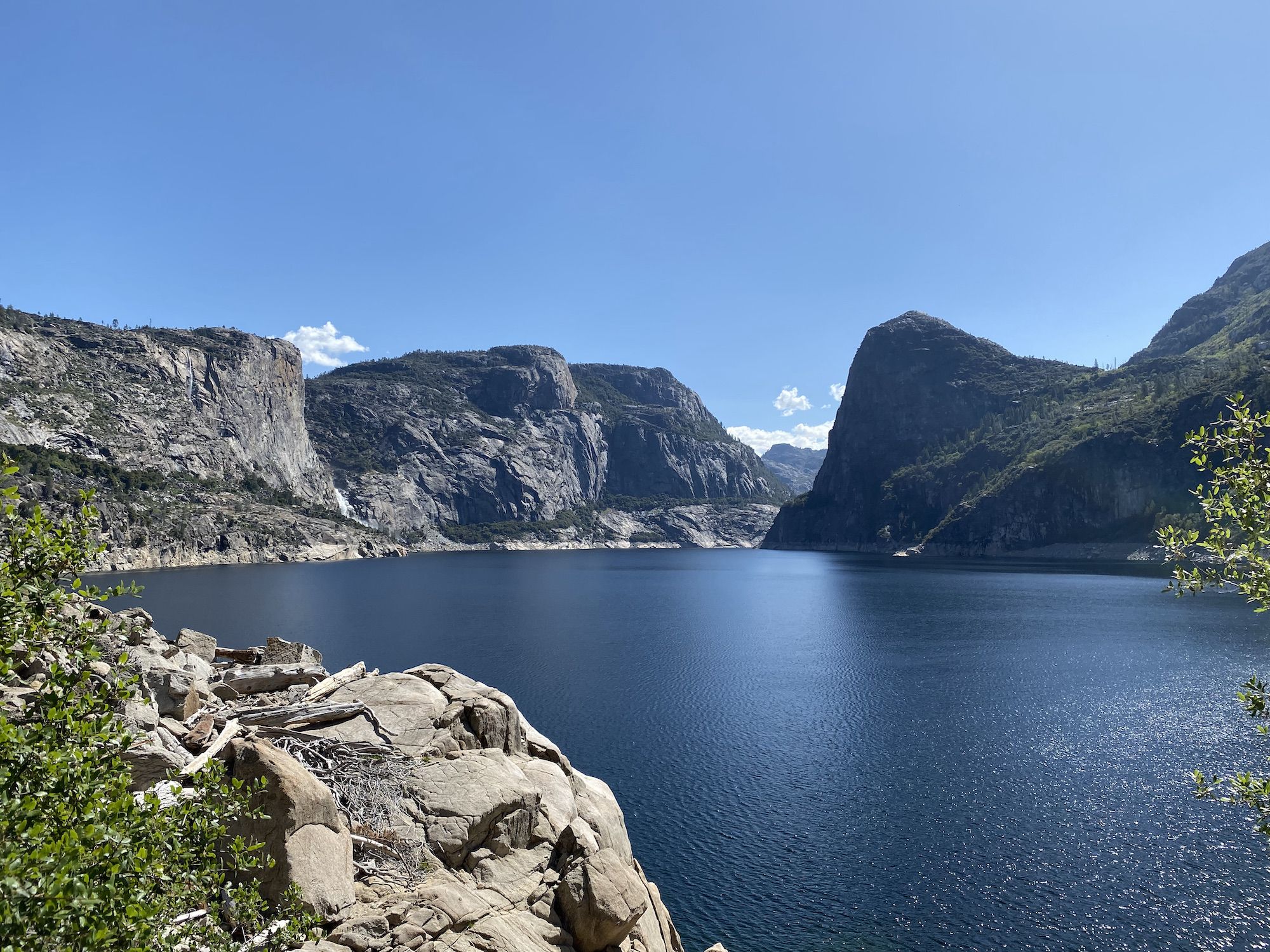
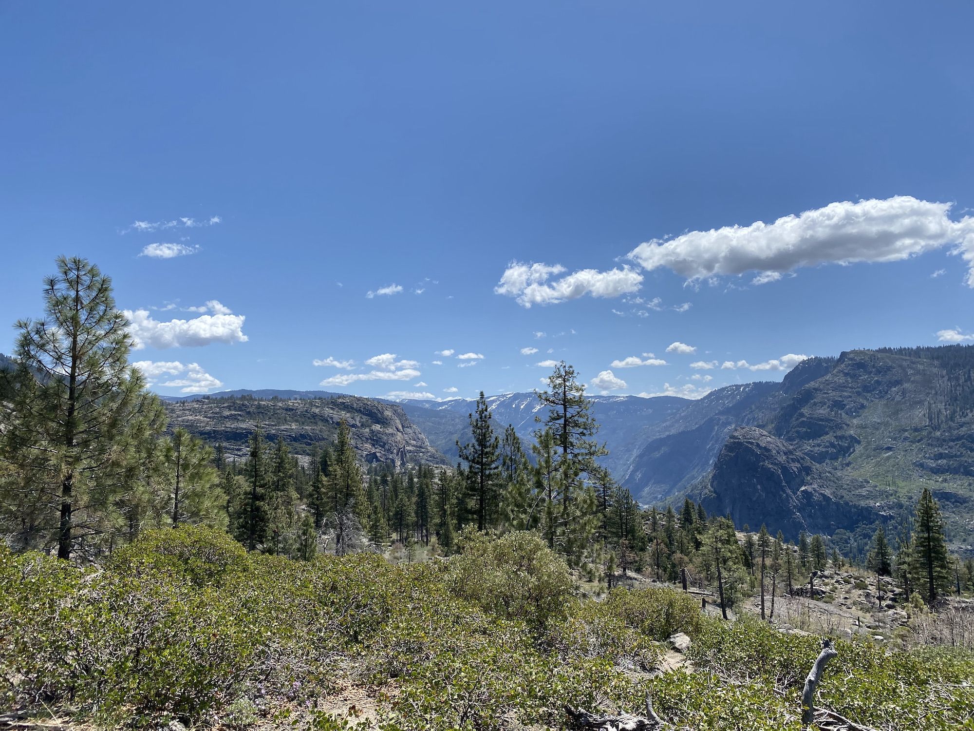
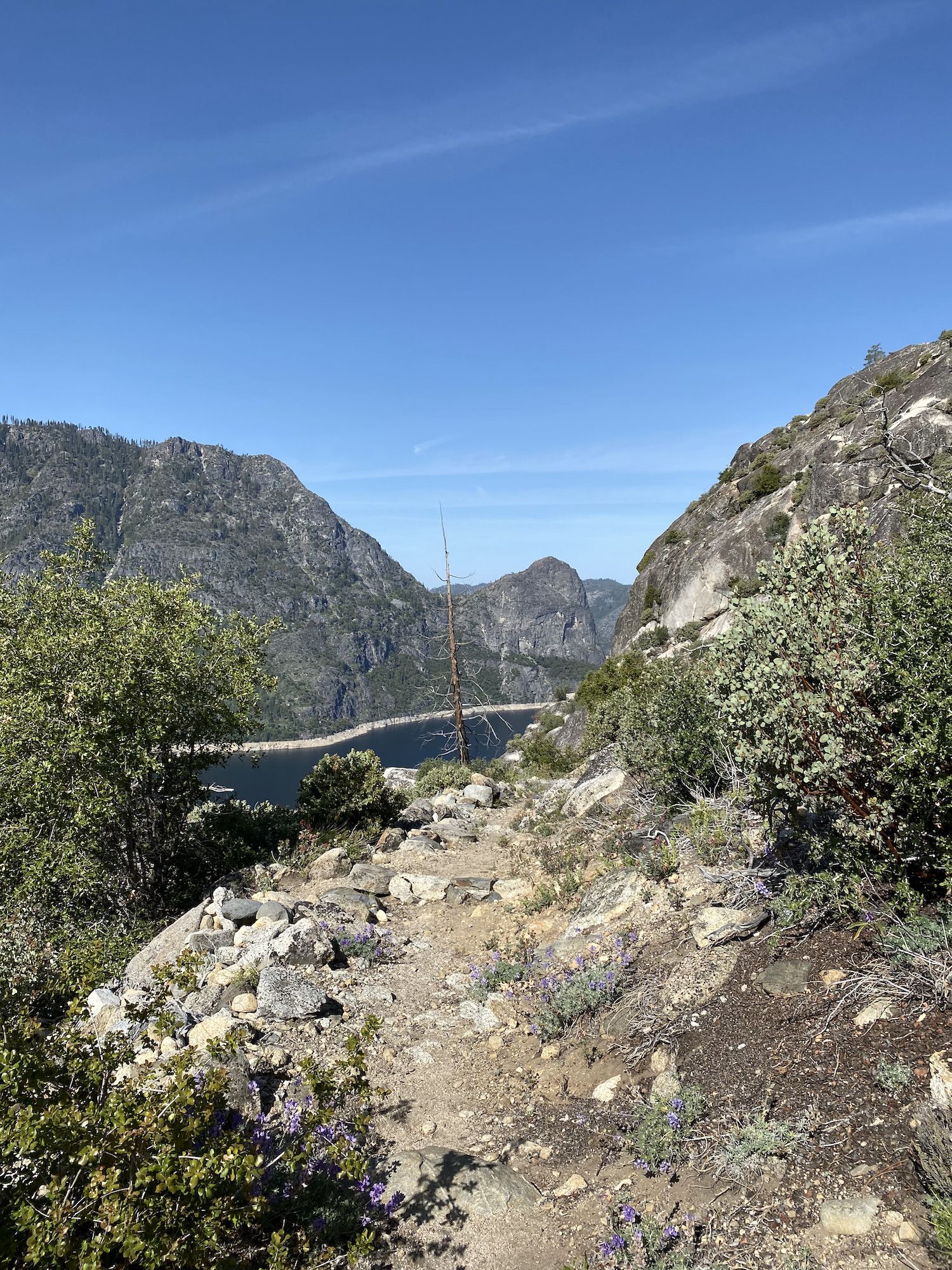
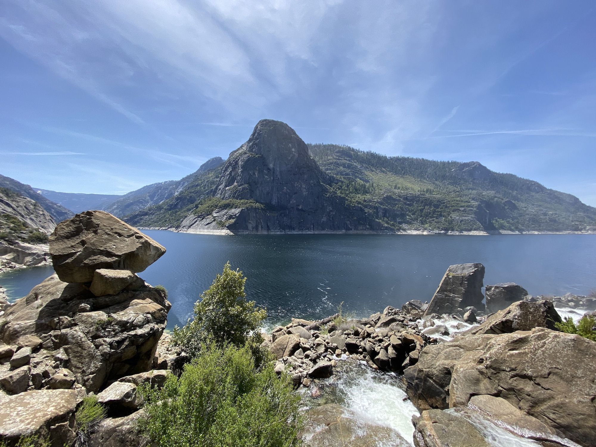
The trail crosses the dam, passes through a tunnel, and continues along the reservoir for the first 15 minutes, offering stunning views of the granite walls surrounding the deep blue water.
The sun was heating up up the south-facing wall of the valley. Fortunately, trees provided us some shade on the switchbacks.
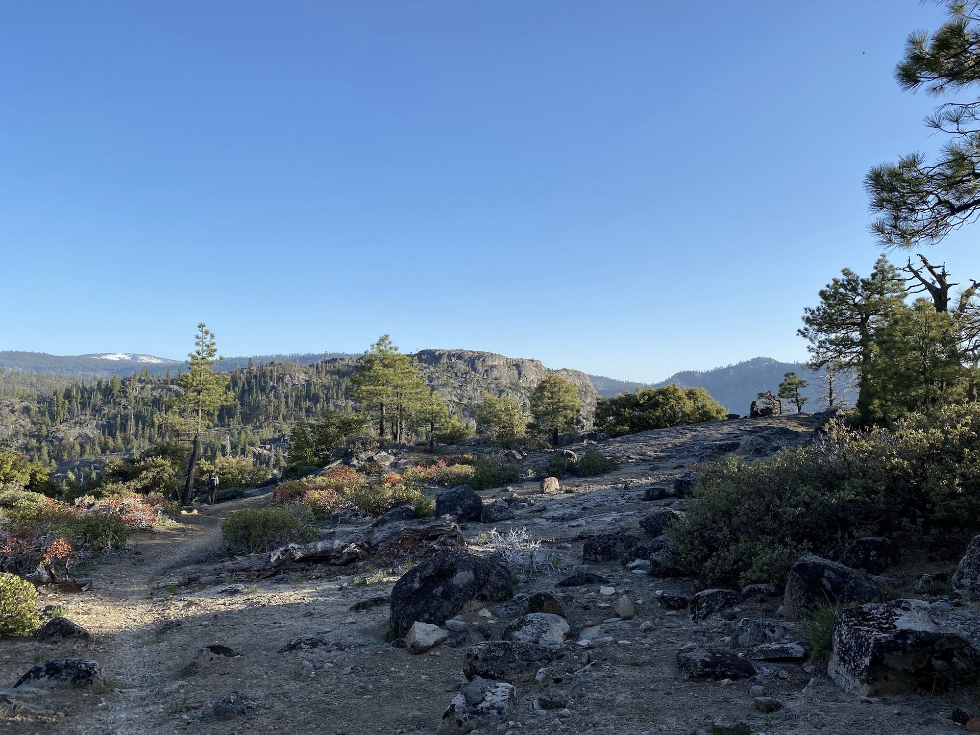
After the 1,500 ft climb up from the valley, the trail cuts northeast through open pine forest with occasional views of the valley and beyond.
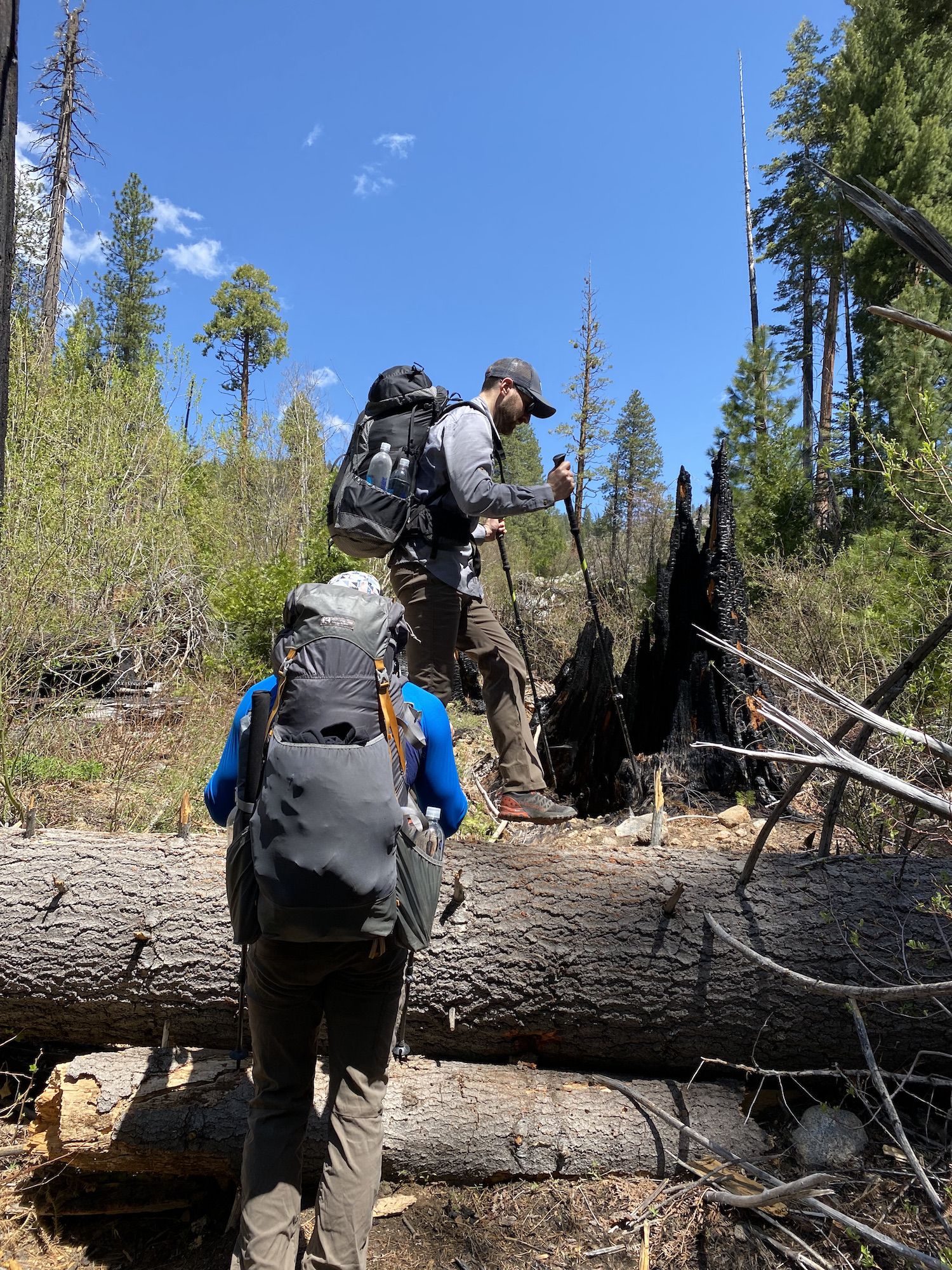
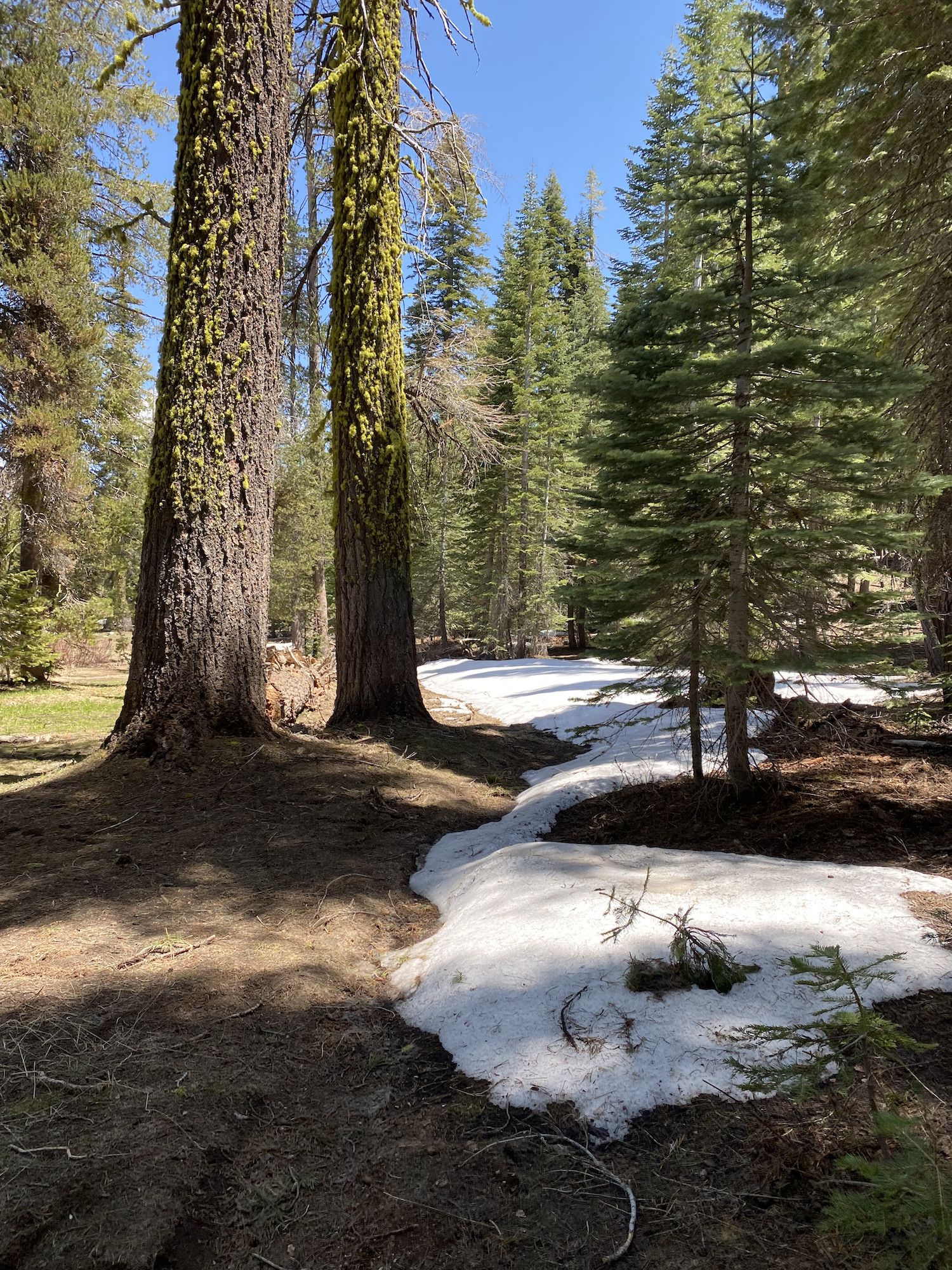
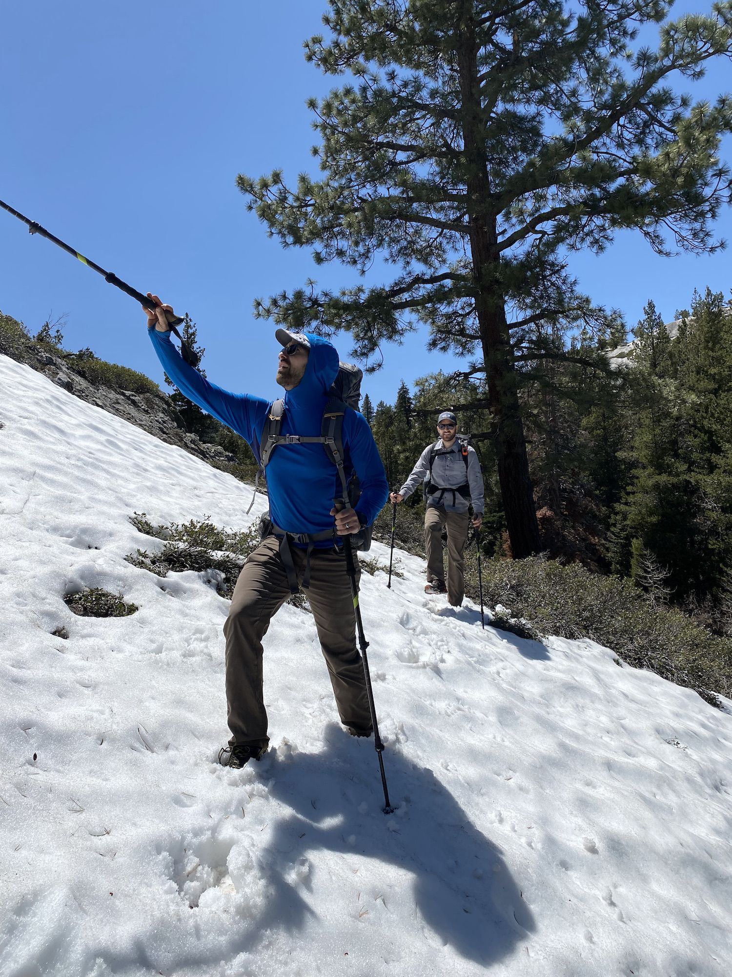
We were ready to bring microspikes and even ice axes when we planned the trip two months earlier. But the low snow year and warm spring had already melted most of the snow below 8,000 ft. What we planned as spring adventure turned out to be a summer stroll in the mountains.
We ate a leisurely lunch by a dried up pond and continued the gradual ascent up to Lake Vernon.
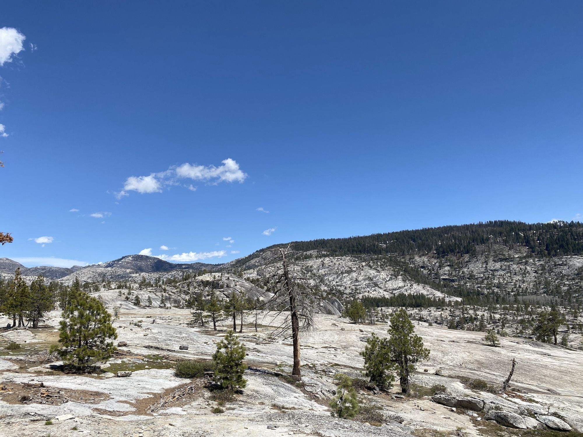
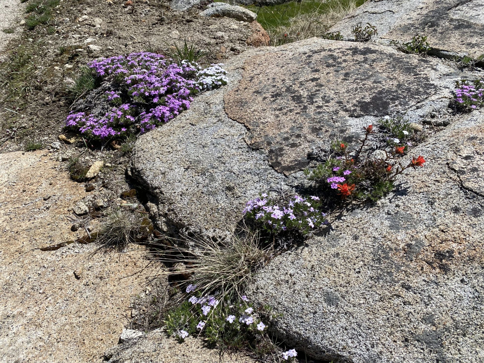
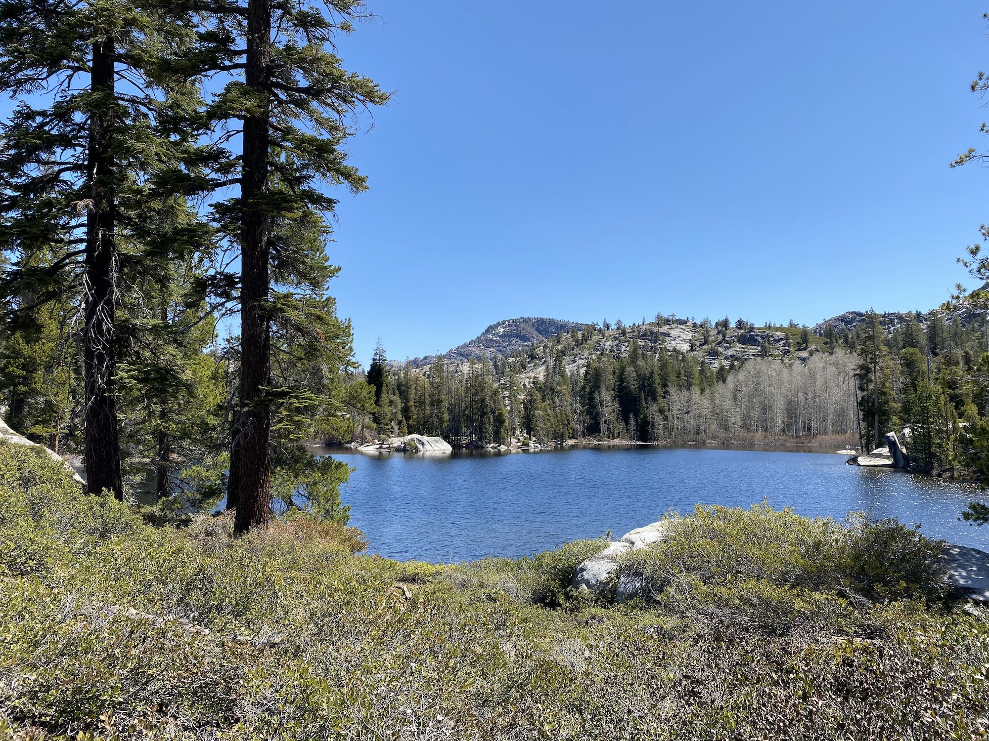
A mile out from the lake, the forest gives way to a vast expanse of bright granite and expansive views. Spring flowers were blooming through small cracks in the rock.
We walked along the northern shore of the lake to find a campsite. In the corner of my eye, something stood out. I yelled “bear,” just as Brandon walked past a sleeping bear just 30 feet from us. We announced ourselves to the bear and she looked at us sleepily. We backed away, and saw that she went back to sleep.
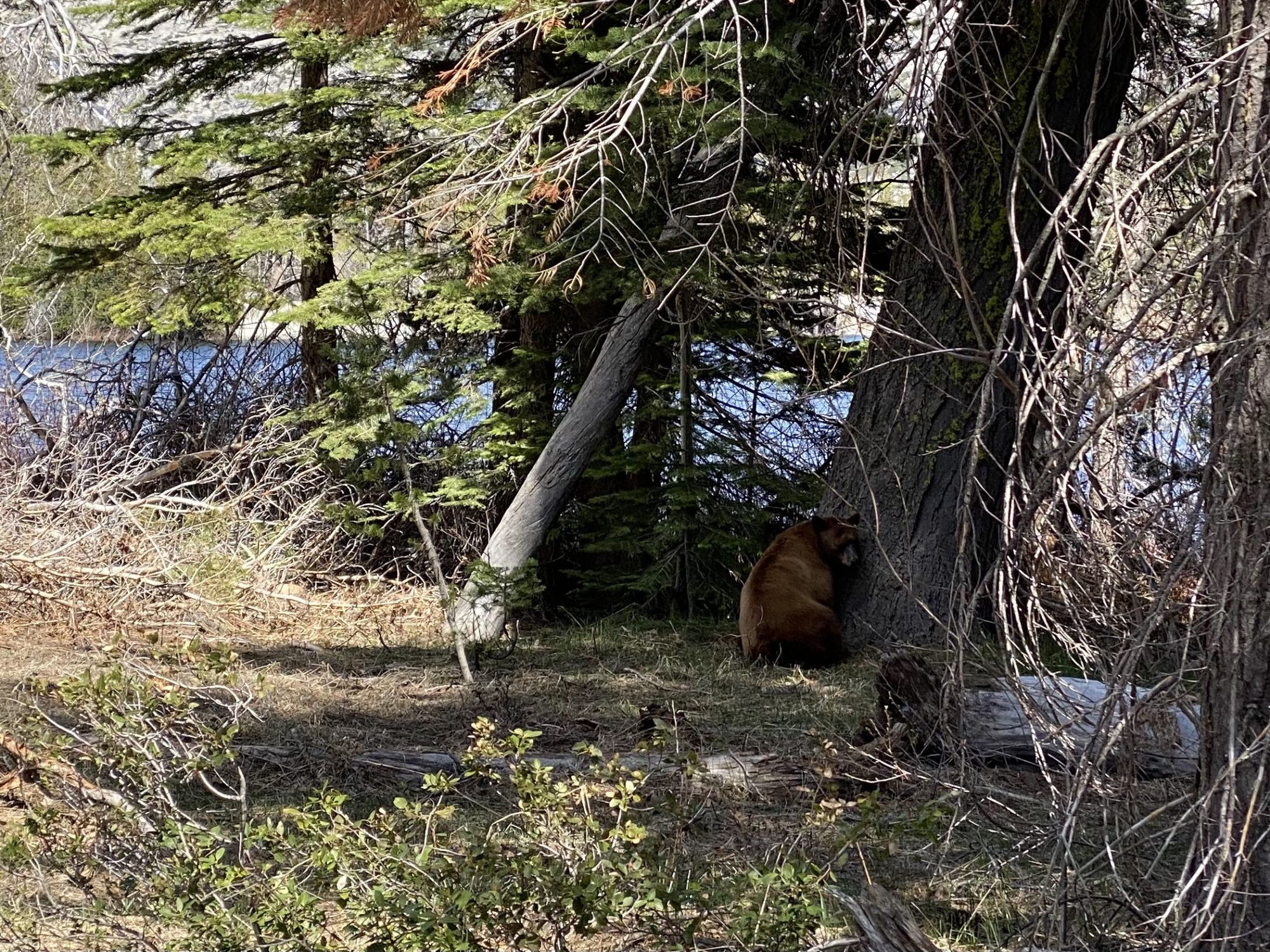
We set up camp a bit farther away and made some coffee. Another group of backpackers ran into the bear a little later and tried to scare her away. It turned out that she had three cubs up in the tree, so she wasn’t going anywhere without them. She calmly got up, leisurely foraged some breakfast, and called down her cubs from the tree when she was done. The four bears walked off into the woods, and we didn’t see them again.
We sat around camp until it got dark. As the night sky became dark, we saw a line of lights moving in eerie unison above the mountains. I had happened to read an article the day before that provided an explanation: they were recently launched SpaceX Starlink satellites waiting to move into their places in orbit.
Day 2: An off-trail adventure from Lake Vernon to Tiltill Valley
NOTE. I don’t recommend this route to anyone. Much of the Tiltill Creek drainage is overgrown with chest-deep shrubs, which makes going miserable.
We started our second day slow. We had breakfast and coffee and let the morning sun dry our gear before packing it.
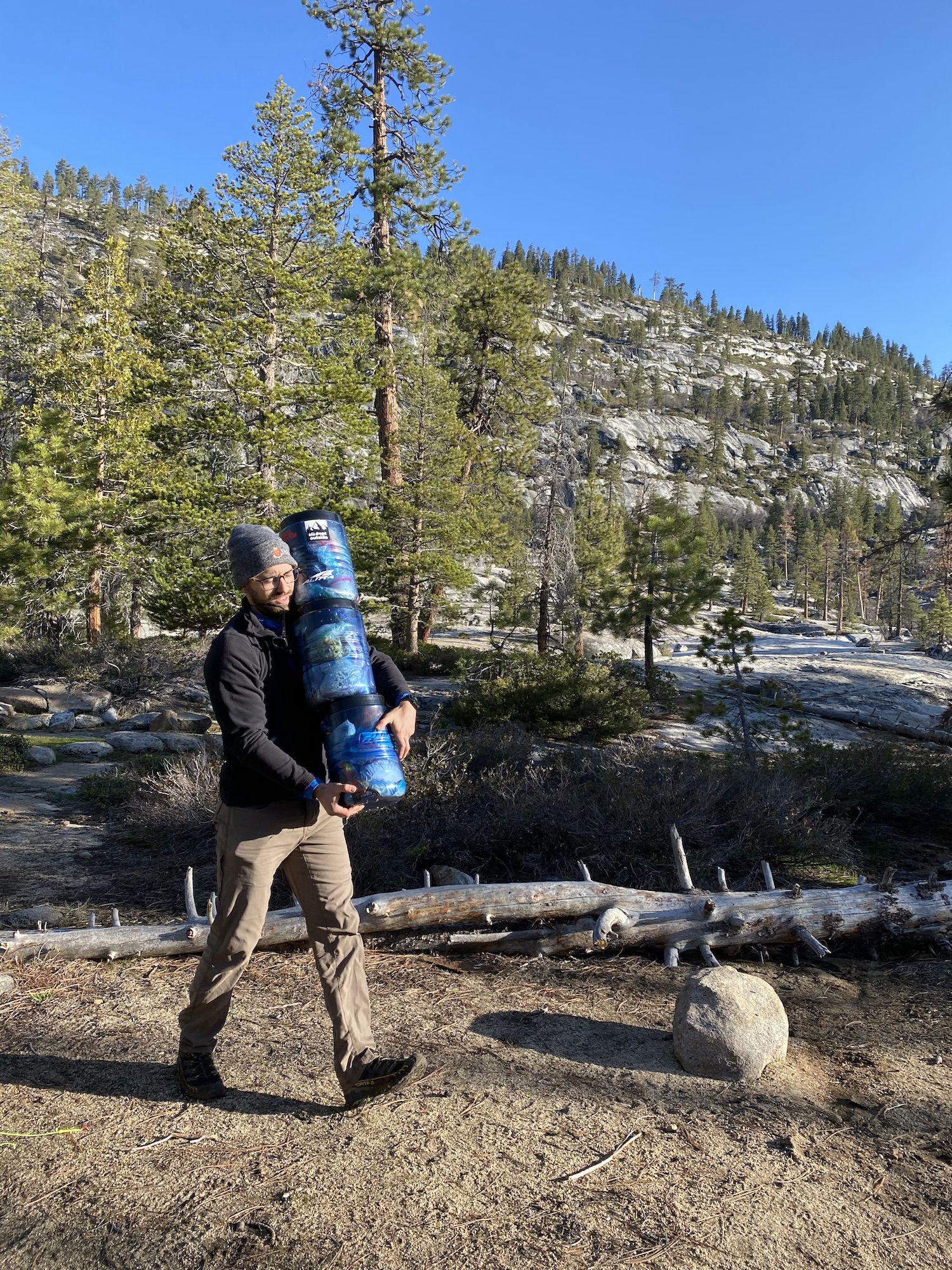
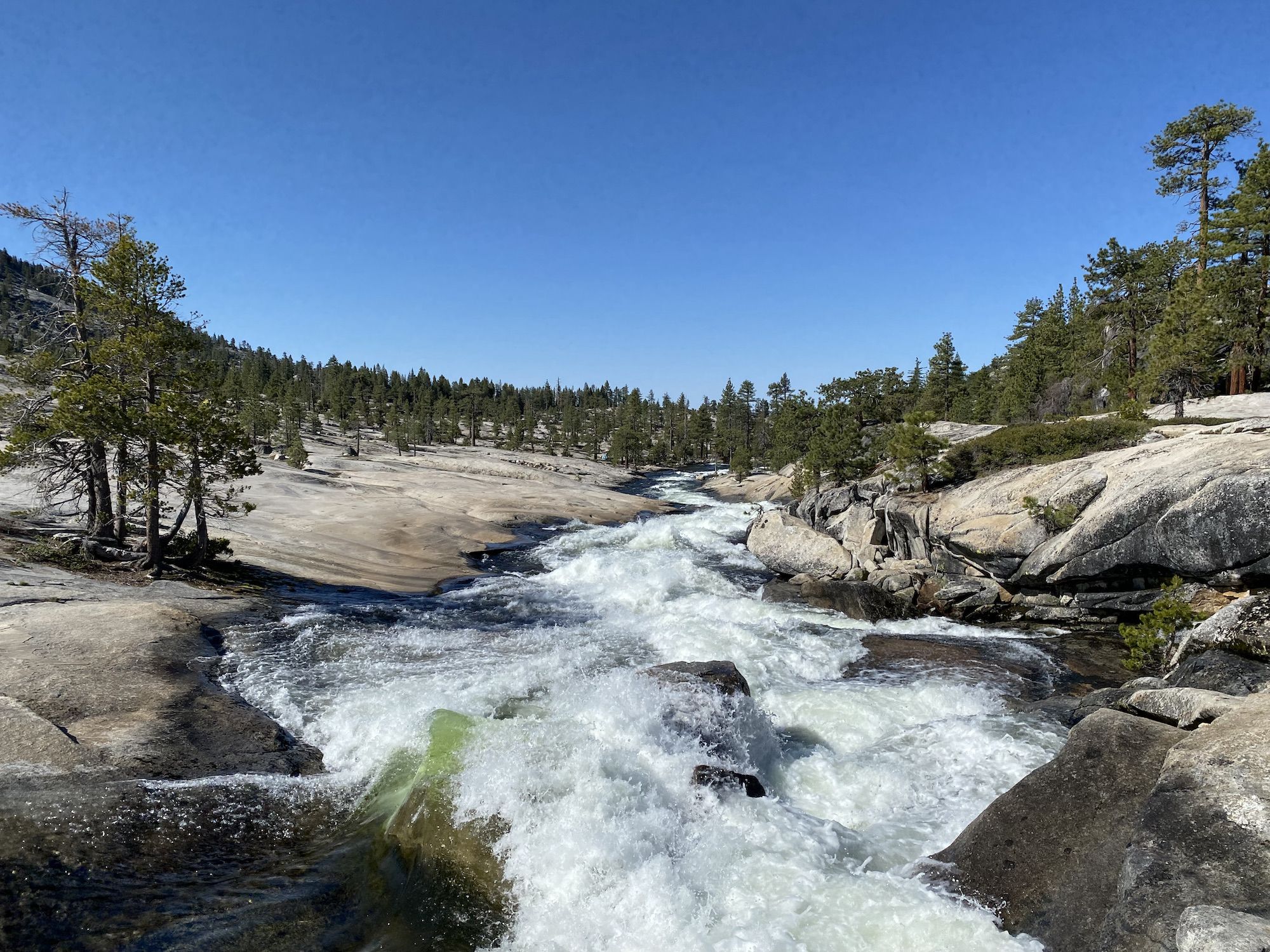
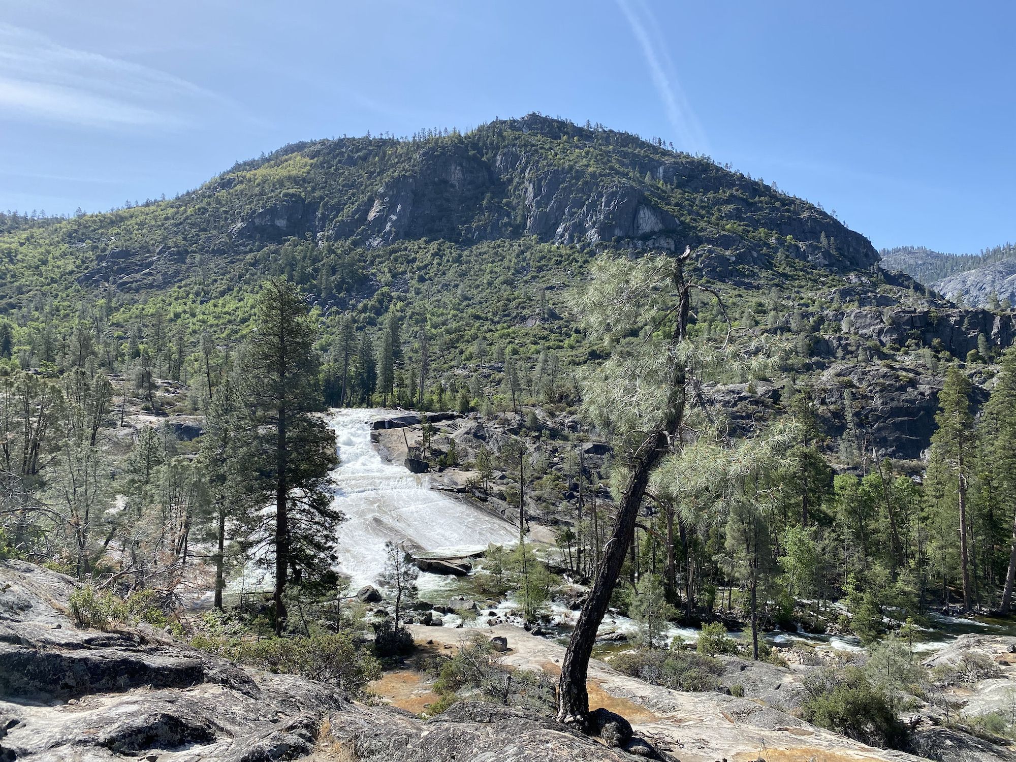
We stopped to fill up water at the lake outlet. The creek was rushing with spring melt water but fortunately there is a sturdy footbridge.
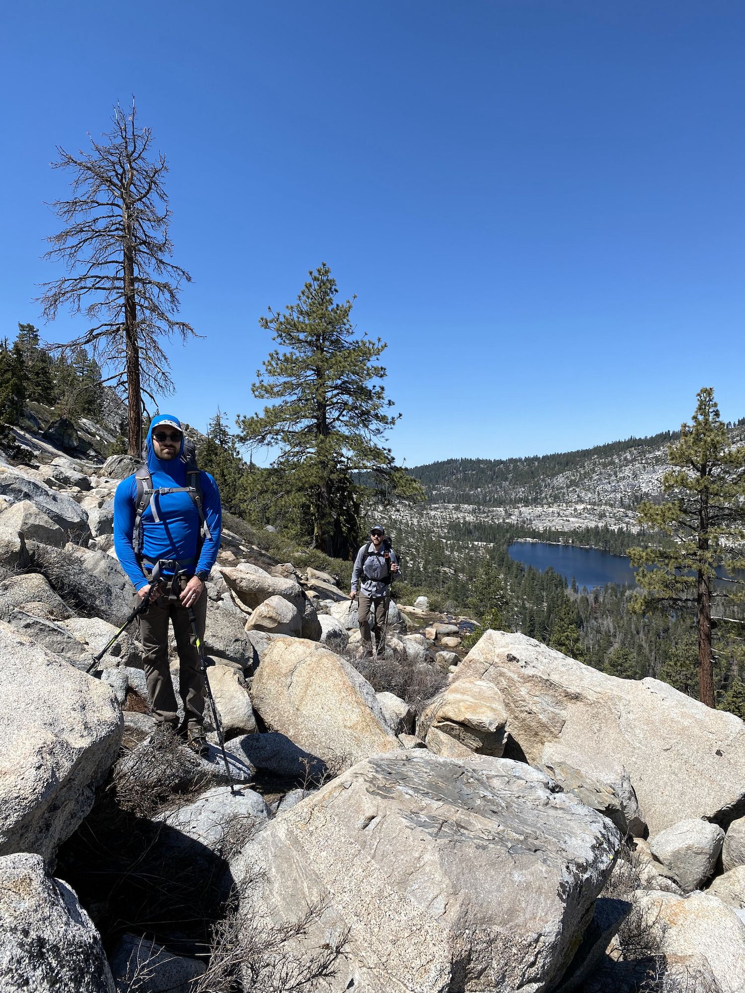
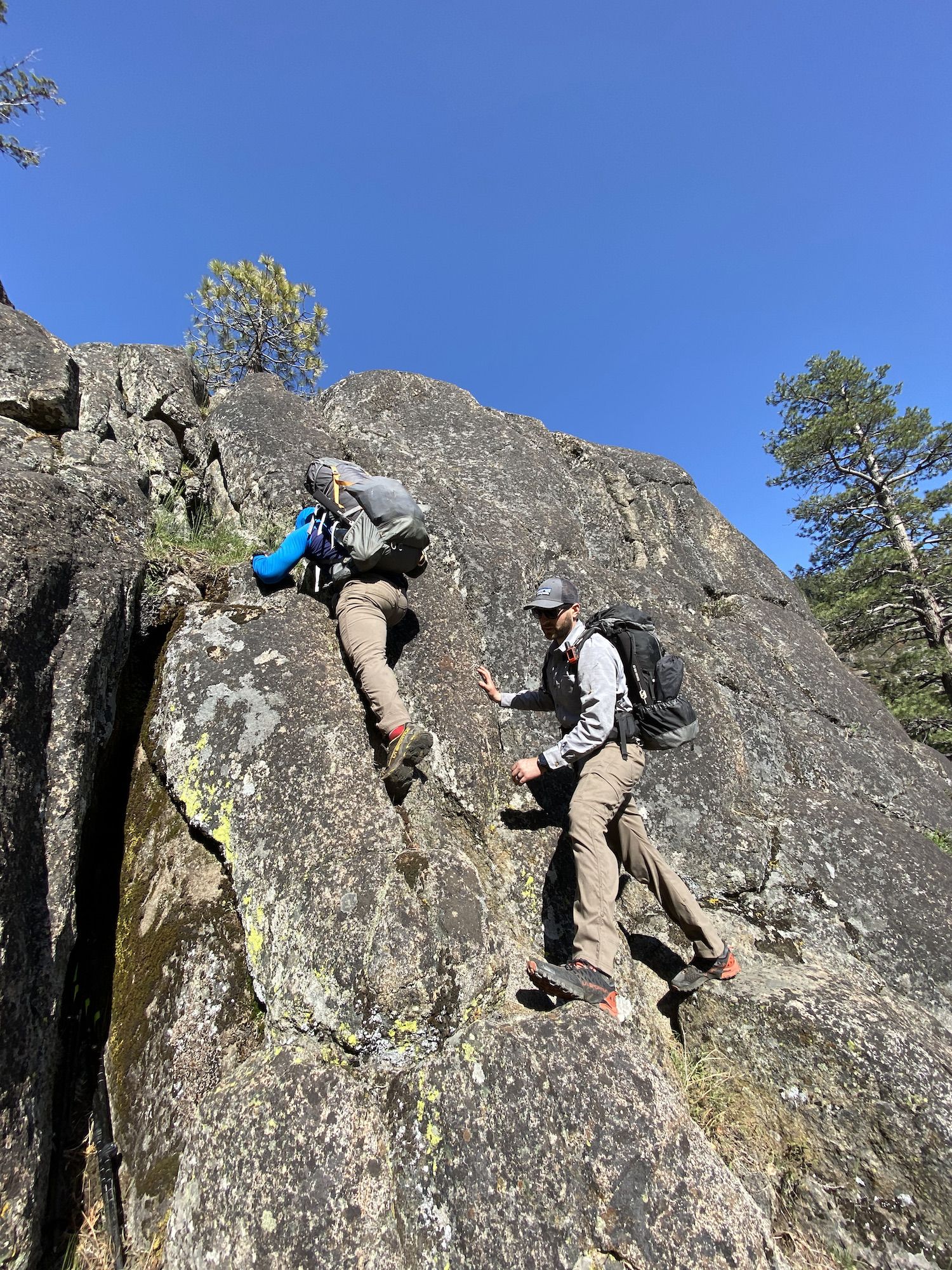
We walked along the lake before starting to climb up to the saddle between Mt. Gibson and the unnamed peak south of Branigan Lake. The ascent from Vernon was fairly easy, although we started climbing a bit too early and got cliffed out and had to go back down.
We stopped for lunch at an unnamed lake. Getting around it took some time because the ground was flooded, and we had to cross a stream.
After lunch, we continued up towards the headwaters of Tiltill creek. We were able to follow game trails for part of the way, but the terrain was very overgrown with willows along the lakes, which slowed down our progress.
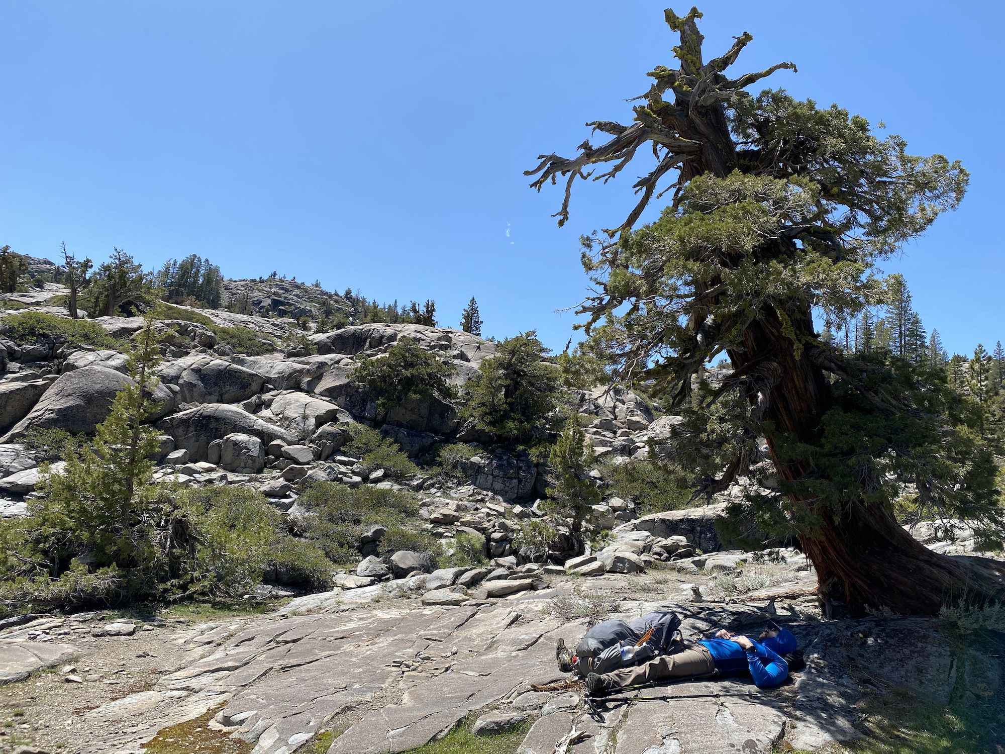
The initial descent into the Tiltill Creek drainage was one of the highlights of the day. The terrain was easy, and awesome-looking juniper trees were growing out of the rock. We enjoyed the warm weather under the shade a while before dropping into the valley.
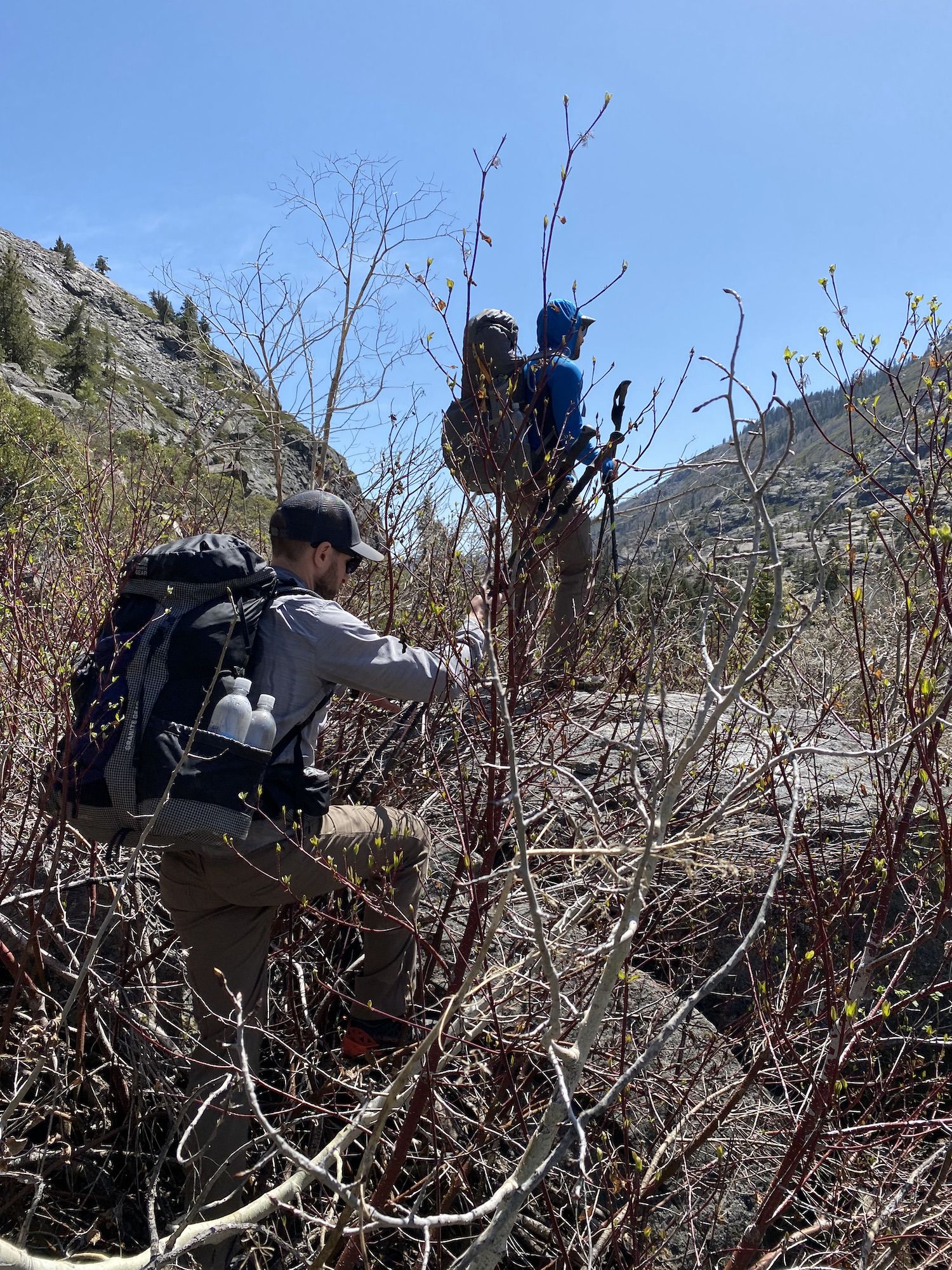
When we got to the start of the creek, the going got tough because of the brush. We initially tried going higher on the side, but the chaparral-covered talus proved even worse than the willows along the creek. We decided to follow the creek, crossing it whenever needed to stay on the less overgrown side.
Halfway down the creek, we got cliffed out and had to find a route we could safely climb down.
Just before we started climbing out of the valley to rejoin the trail, we ran into a huge bear. We let him know we were coming, and he bolted away quicker than anything that size should logically be able to move.
We were getting tired as we climbed the last 2/3 of a mile from the valley to the trail. Although the day hadn’t been long in terms of miles or elevation, we had spent many calories pushing through bushes and navigating challenging terrain.
Getting back on the trail felt great. Although it was clear the trail gets little use and it was overgrown in places, we were able to pick up speed so we could get to camp before dark.
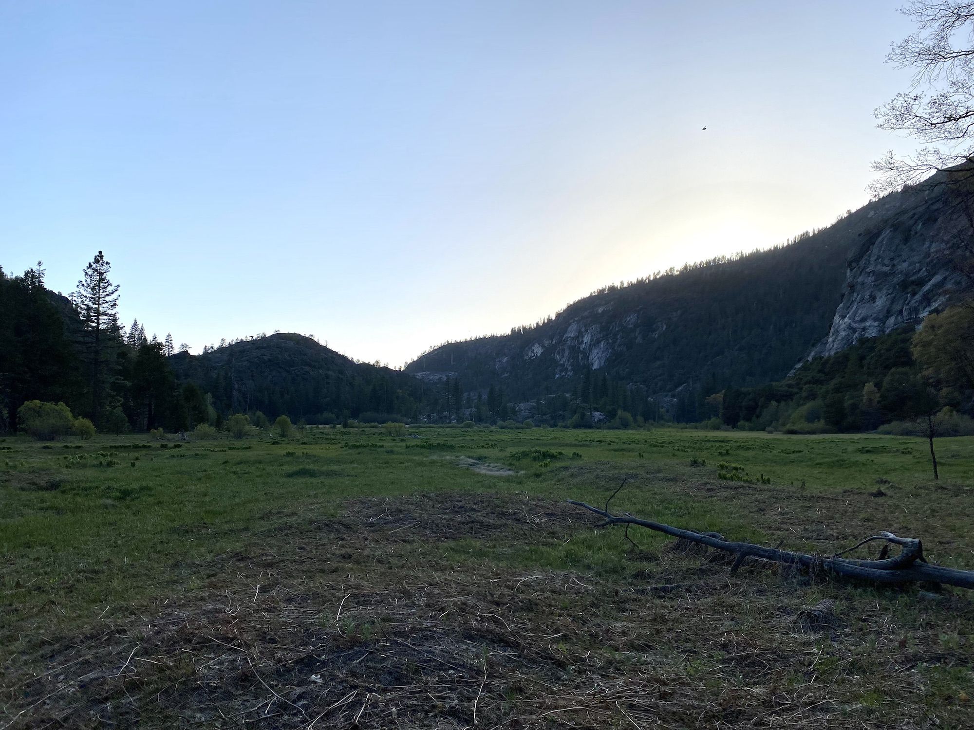
The Tiltill Valley was still marshy from the spring melt. At that point, we didn’t care too much and waded through to our campsite along the Tiltill creek where we could finally eat some dinner. We were all exhausted after the long day, and headed to bed earlier than the first night.
Day 3: Tiltill Valley to the Hetch Hetchy trailhead
After a well-deserved night of sleep, we ate breakfast and had coffee before breaking camp. The final day would be mostly downhill back to the car.
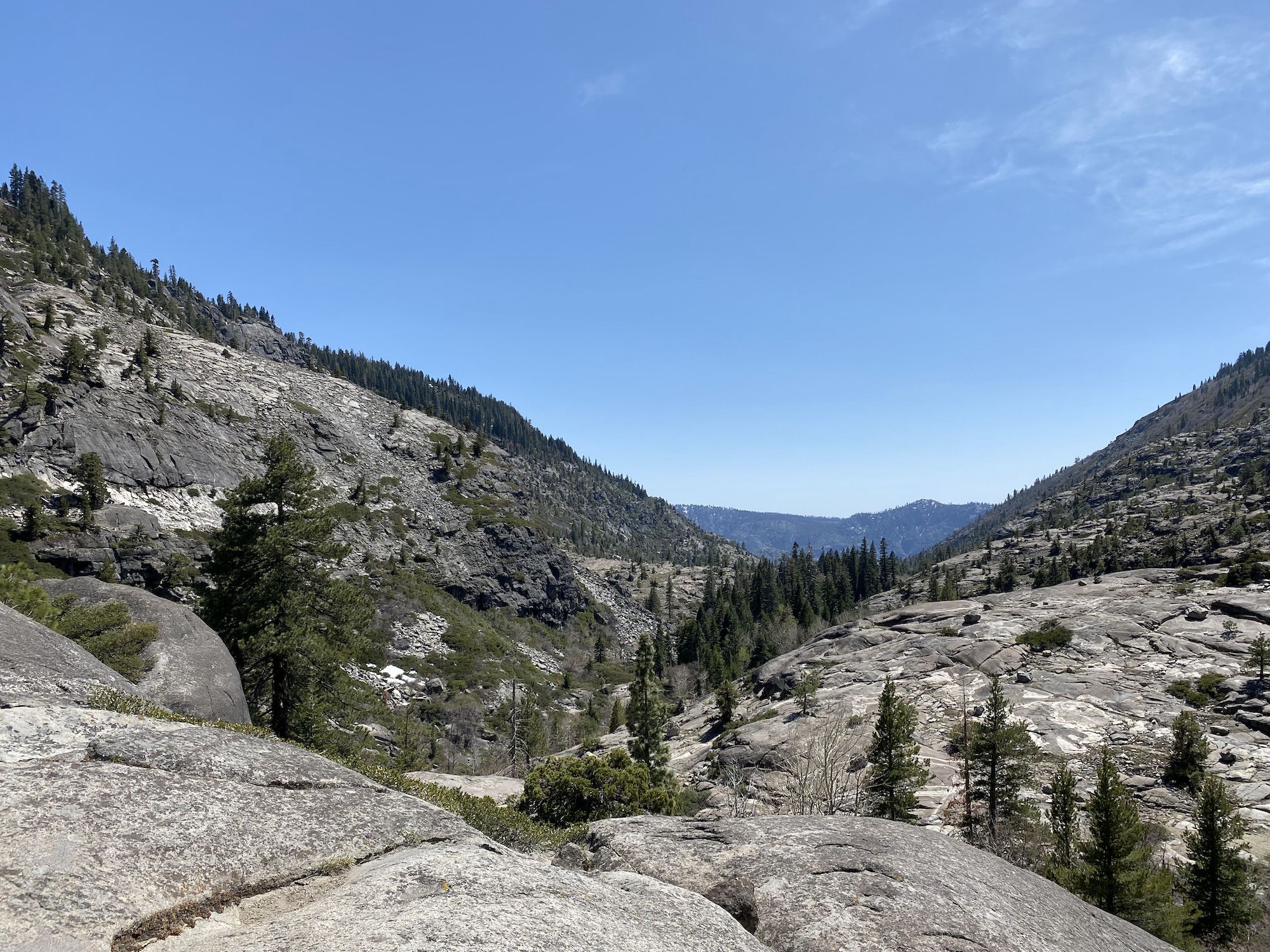
The trail climbs up a bit over a narrow wooded pass before sharply dropping down toward Rancheria Falls over tens of switchbacks.
We hadn’t seen anyone else since the first day at Lake Vernon until we got to Rancheria Falls. The falls are a popular destination because they’re easy to reach from the trailhead.
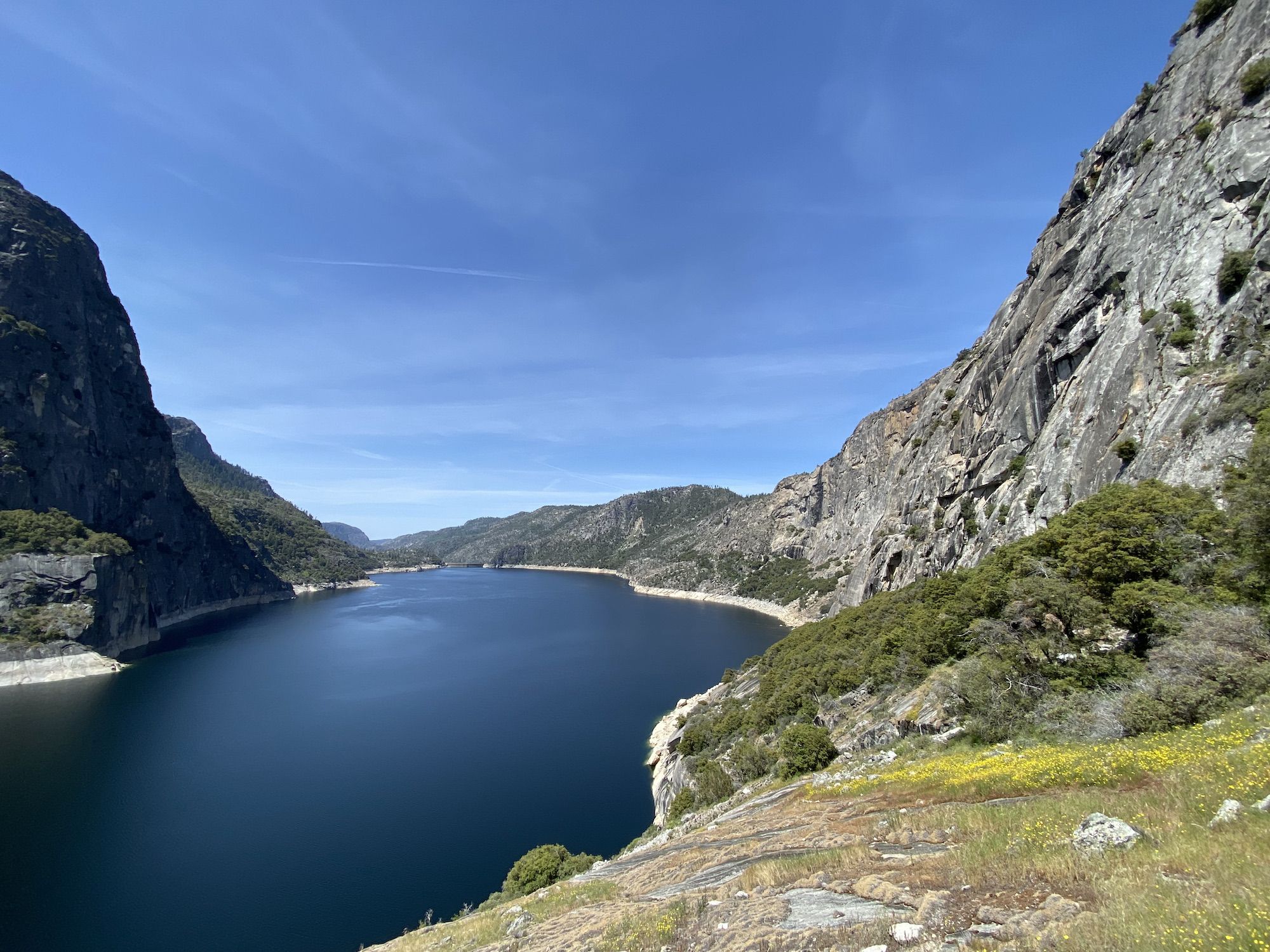
From the falls, the trail contours the northern wall of the valley with excellent views of the reservoir.
At Wapama Falls, we ran into rush-hour traffic as the falls are a popular day-hike destination. We walked the last two miles along with the day hikers, stinking up the trail to their delight.
Even though the second day ended up being much harder than we had anticipated, we had a great adventure. The Sierra backpacking season for 2021 is officially open!