Tahoe Rim Trail 2021 trip report – 8 days, 182 miles
I thru-hiked the TRT in June after a low snow winter. An early summer trip meant bright greens, tons of wildflowers, and easier access to water. What a trip!
Trip date: June 9-16, 2021.
This was my second thru-hike of the TRT. On my first TRT hike in 2018, I missed out on much of the views due to wildfire smoke. This time around, I headed out earlier in the summer to avoid getting caught in the middle of fire season. The 2020-2021 winter was the third-driest winter on record, so the snow was not a major issue despite the early date.
This time around, I wanted to challenge myself physically in addition to enjoying the views and nature. I planned to hike the entire TRT in 8 days and wanted to achieve two personal records by hiking a marathon-distance day (26 miles) and a 30-mile day (50k).
Itinerary
| Day | Start | End | Distance | Elevation gain |
|---|---|---|---|---|
| 1 | Echo Lakes | Richardson Lake | 26.3 miles | 4,670 ft |
| 2 | Richardson Lake | Tahoe City | 22.7 miles | 2,870 ft |
| 3 | Tahoe City | Watson Lake | 14.2 miles | 3,050 ft |
| 4 | Watson Lake | Galena Falls | 24.7 miles | 5,020 ft |
| 5 | Galena Falls | South of Spooner | 27.9 miles | 3,700 ft |
| 6 | South of Spooner | South Lake Tahoe | 20.4 miles | 2,850 ft |
| 7 | South Lake Tahoe | Round Lake | 30.9 miles | 6,440 ft |
| 8 | Round Lake | Echo Lakes | 15.2 miles | 2,400 ft |
| Total | 182.3 miles | 31,000 ft | ||
| Avg/day | 22.8 miles | 3,875 ft |
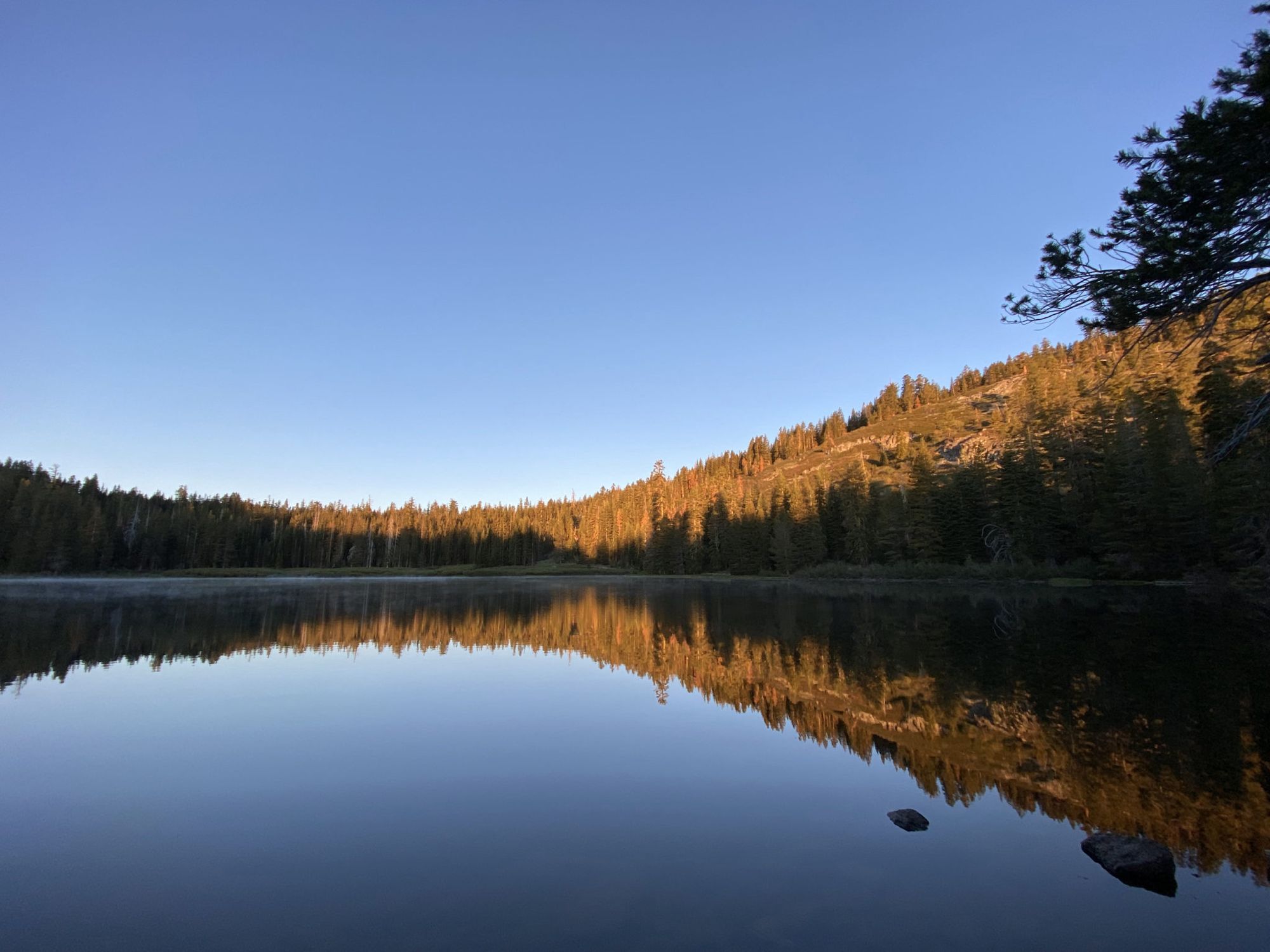
Echo Lakes to Richardson Lake
I got an early start from home and arrived at the trailhead a little after 8 in the morning. The air was crisp underneath a clear blue sky.
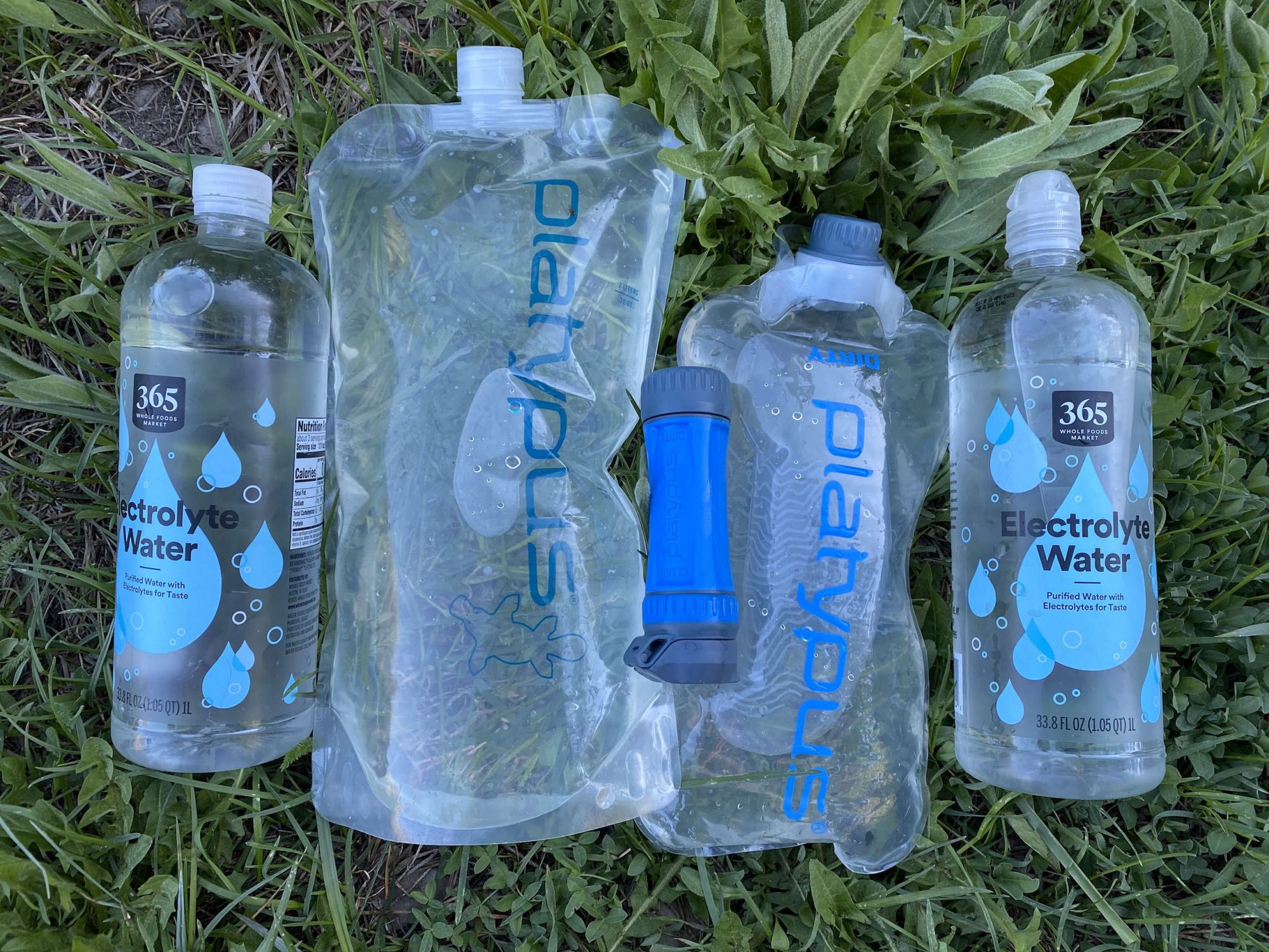
I planned only to spend one night between Echo Lakes and Tahoe City. My backpack was light with 1.5 days of food. Because there are plenty of water sources on the lake’s western side, I didn’t have to carry more than a liter of water—a nice and light start to the trip.
After a heatwave the week before, the air was surprisingly cold. It made the climb easier for sure.
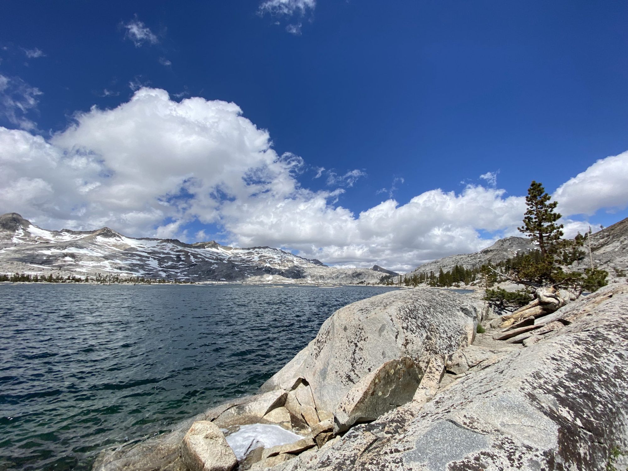
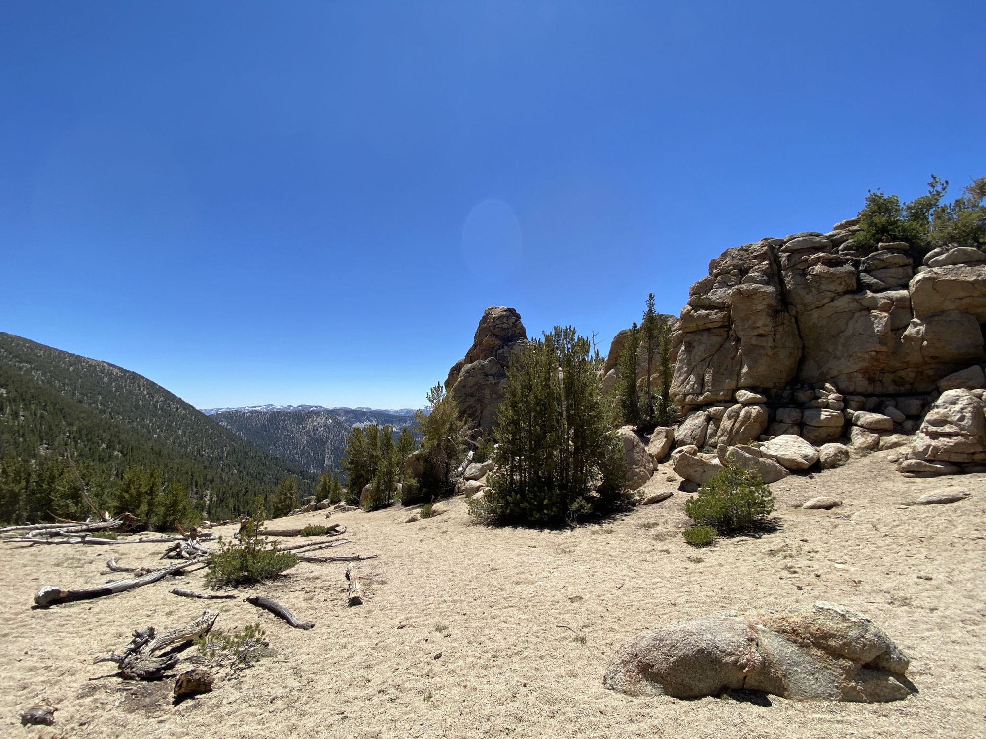
As the trail gained altitude, I got beautiful views of Echo Lakes and Tamarack Lake. I arrived at Lake Aloha before lunch and stopped along the shore for a short snack break. I met a group of snowboarders that had hiked up with their gear, trying to ride the last patches of snow for the season.
After Lake Aloha, the trail dips down to Susie Lake, skirting the incredibly blue Heather Lake. From Susie Lake, the trail starts gaining elevation as you approach Dick’s Pass. At this point, dark clouds were starting to roll over the mountains to the west, accompanied by a bitterly cold breeze.
I stopped for a brief snack break on top of the pass behind some pines for shelter from the wind.
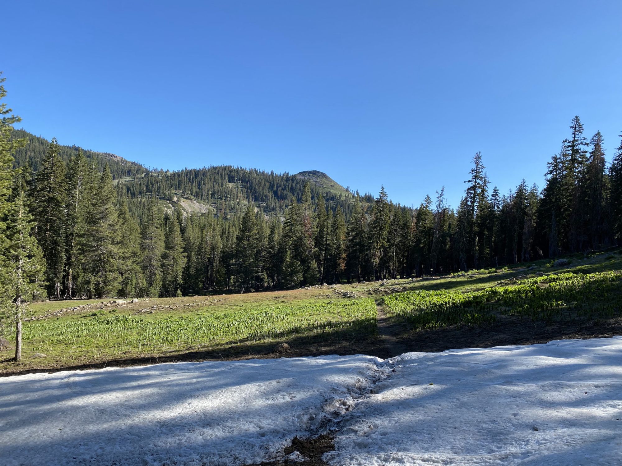
The north side of Dick’s pass still held snow. For a half mile, the trail was mostly covered by snow but navigating in the open forest was easy and it didn’t slow me down much.
As I passed Dick’s Lake it started snowing lightly. The wind carried light ice crystals from where the clouds met the mountains. I layered up and continued on to stay warm.
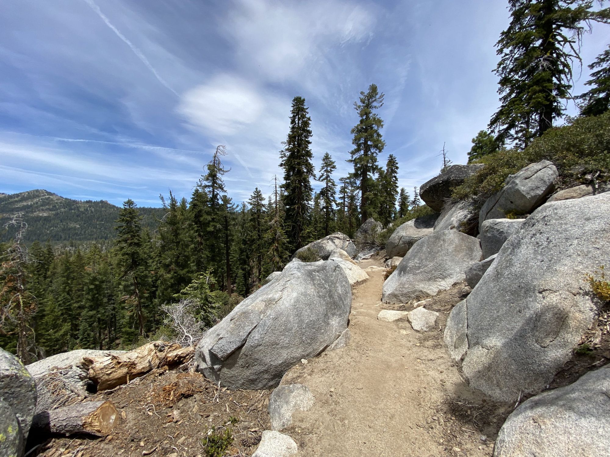
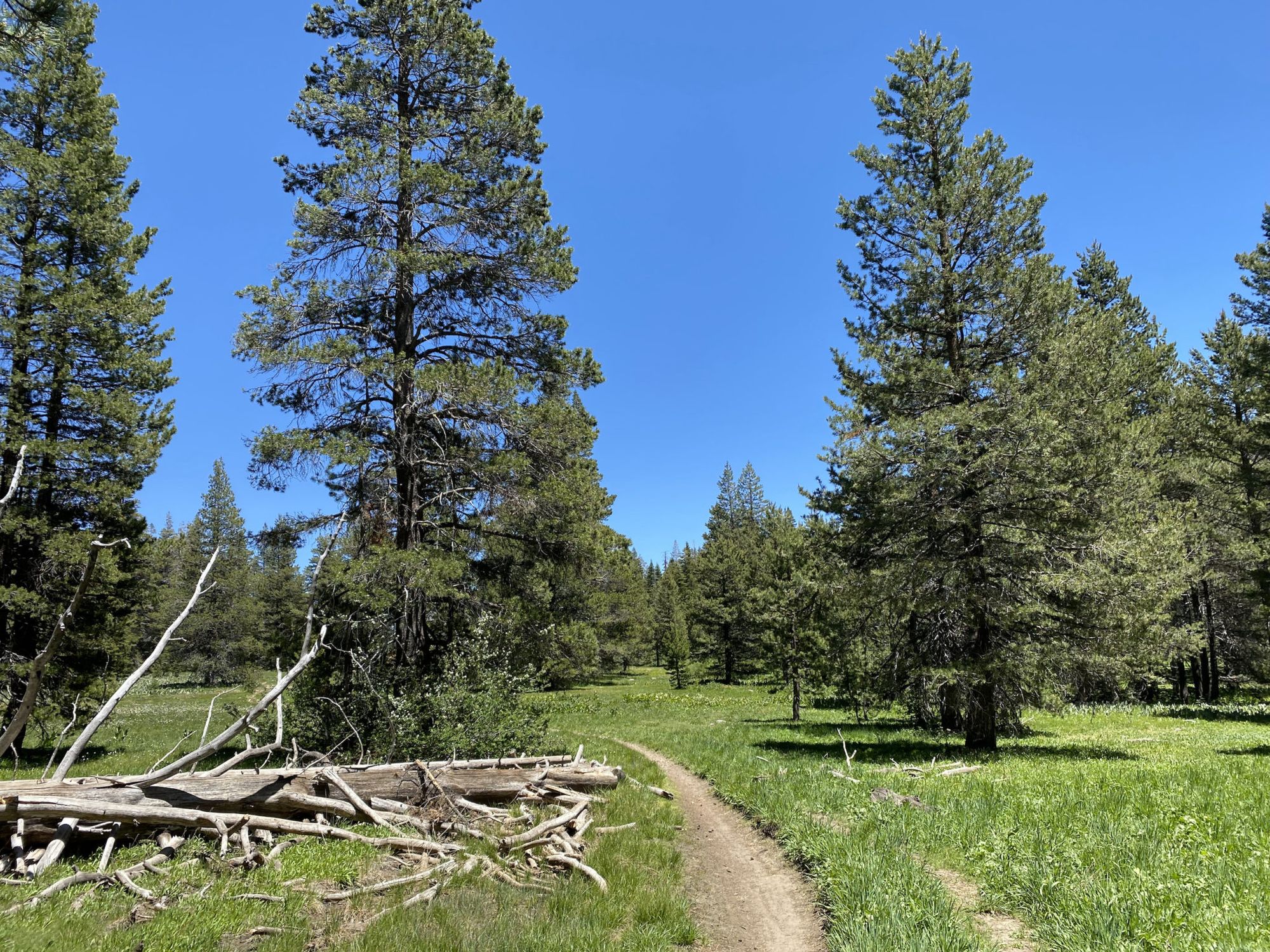
The section of trail between the Velma Lakes and Richardson Lake is mostly through forest with occasional views of the mountains to the west.
I was dead tired and cold by the time I made it to Richardson Lake. The sun had just set. I made dinner in the fading light and then quickly retreated to the warmth of my quilt.
Richardson Lake to Tahoe City
It got cold overnight. My Bluetooth thermometer inside the tent showed that the temperature dropped down to 27F before sunrise. Brr.
I made some hot coffee and ate breakfast burrowed in my quilt.
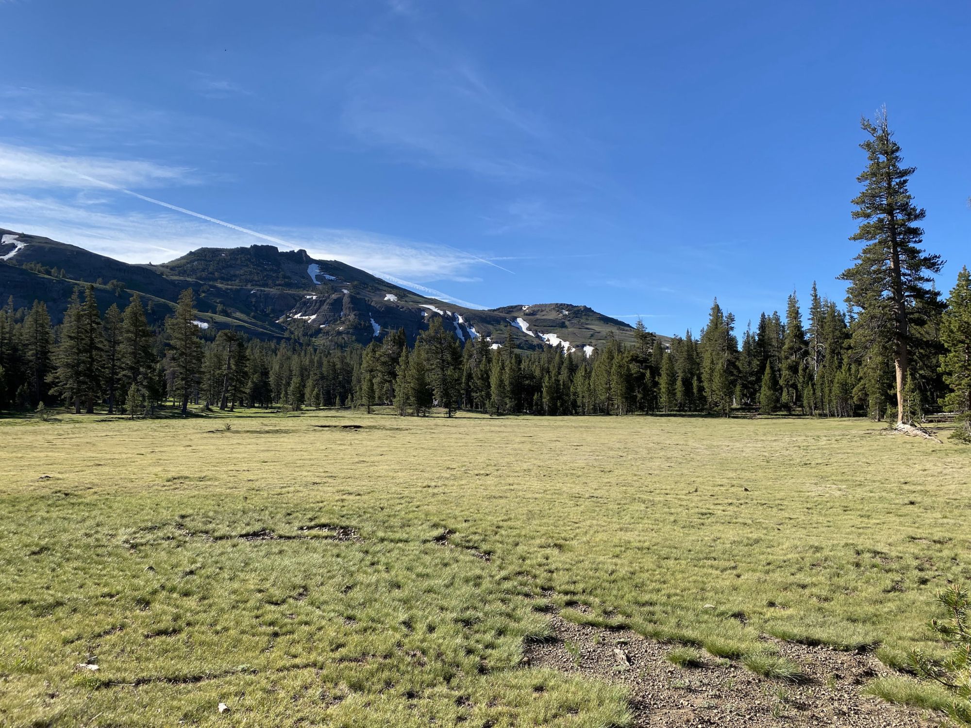
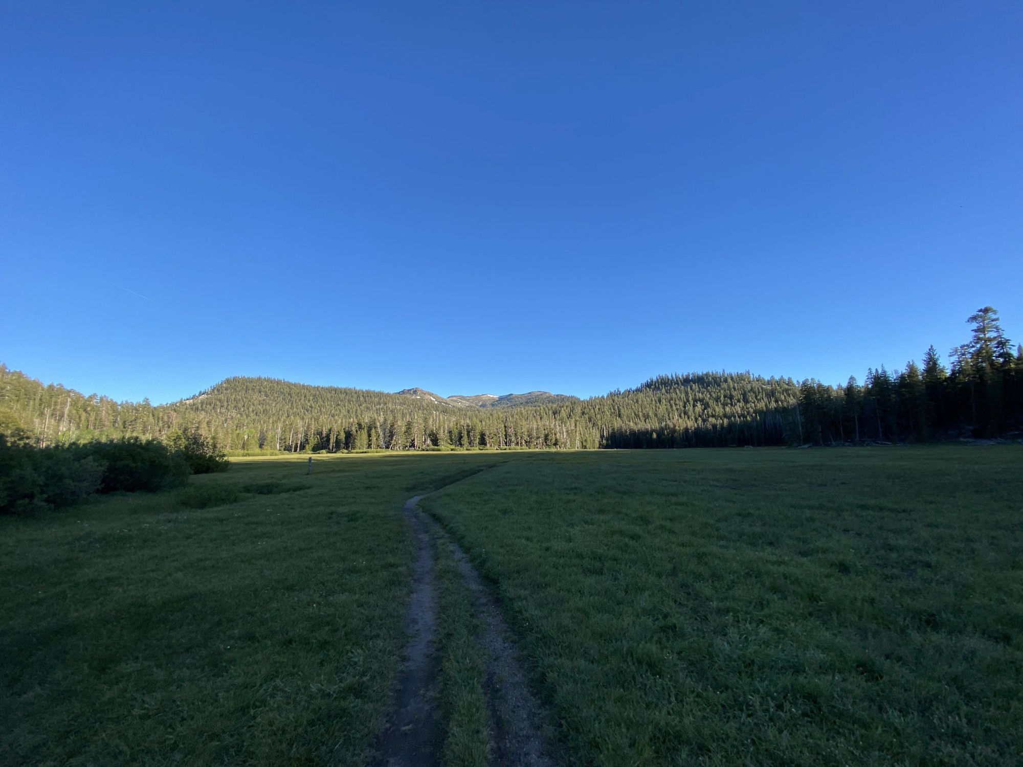
After packing up camp, I headed out in search of the morning sun that eluded the lakeshore where I had camped. The trail passes through beautiful meadows as it nears Barker Pass. The warmth of the morning sun felt welcome after the freezing night.
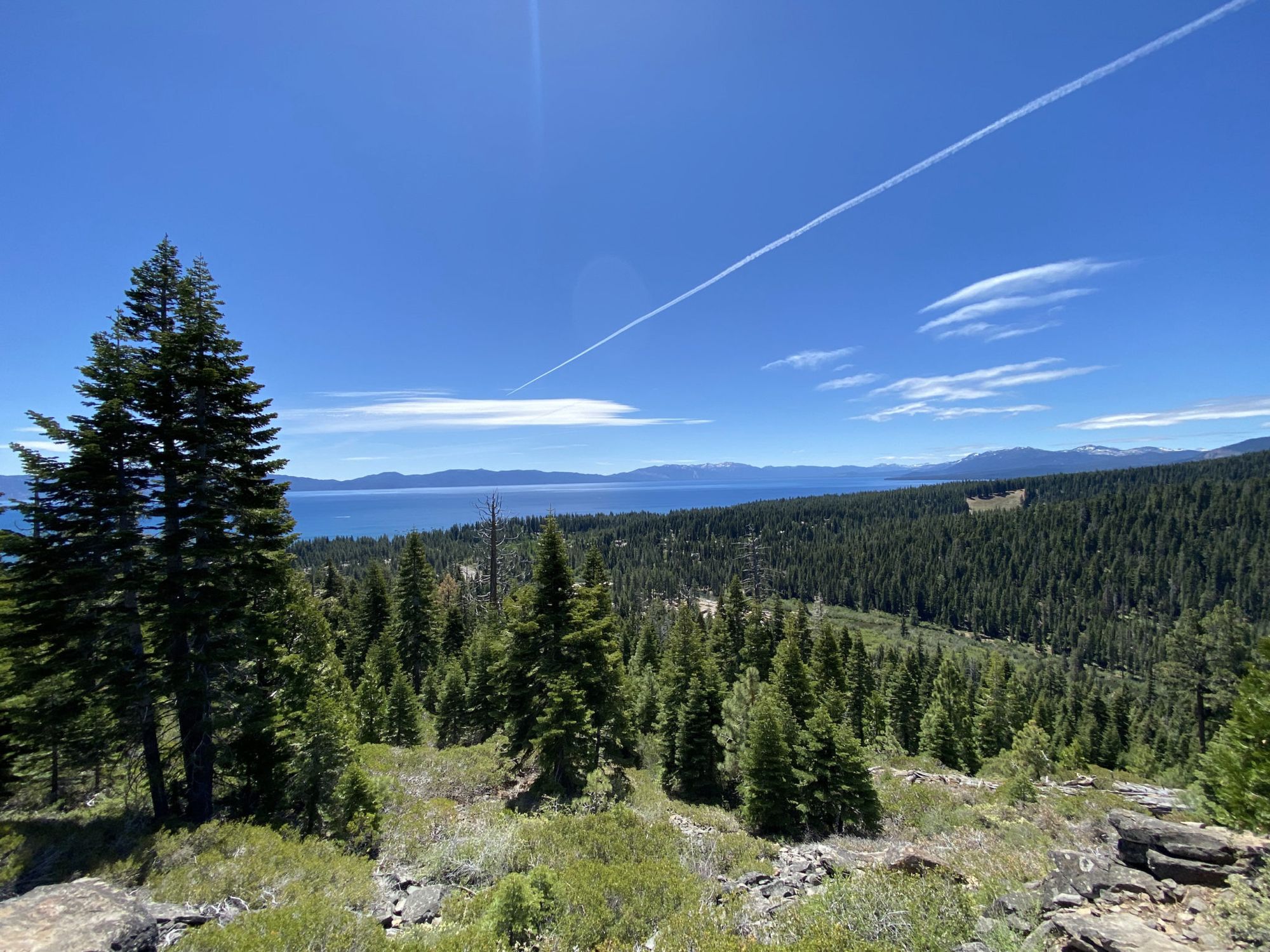
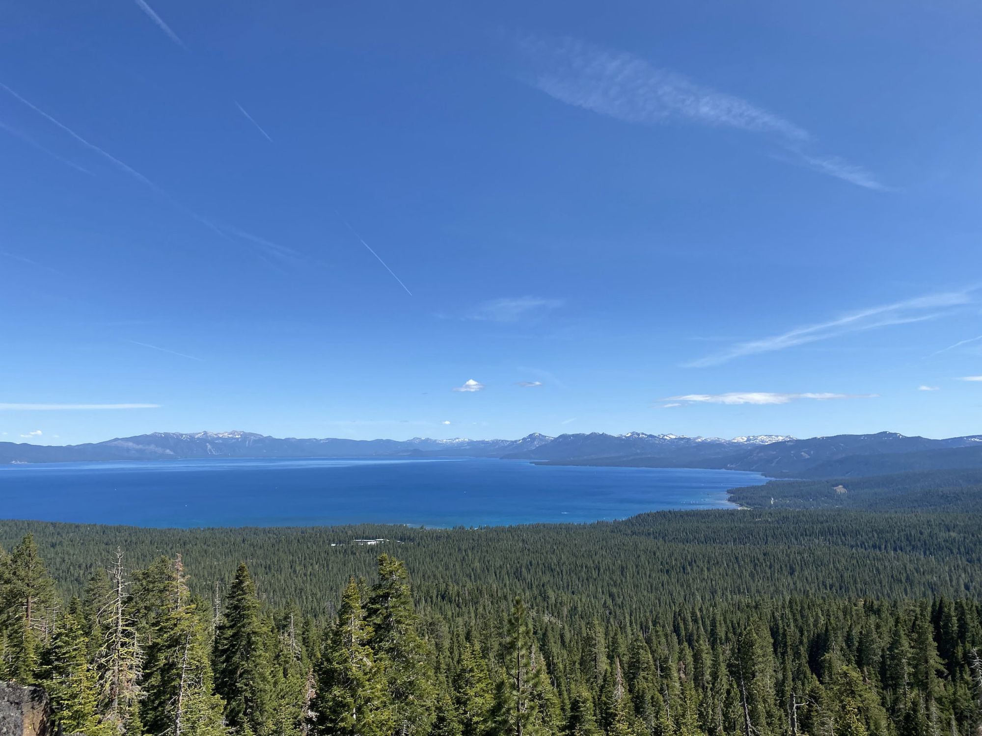
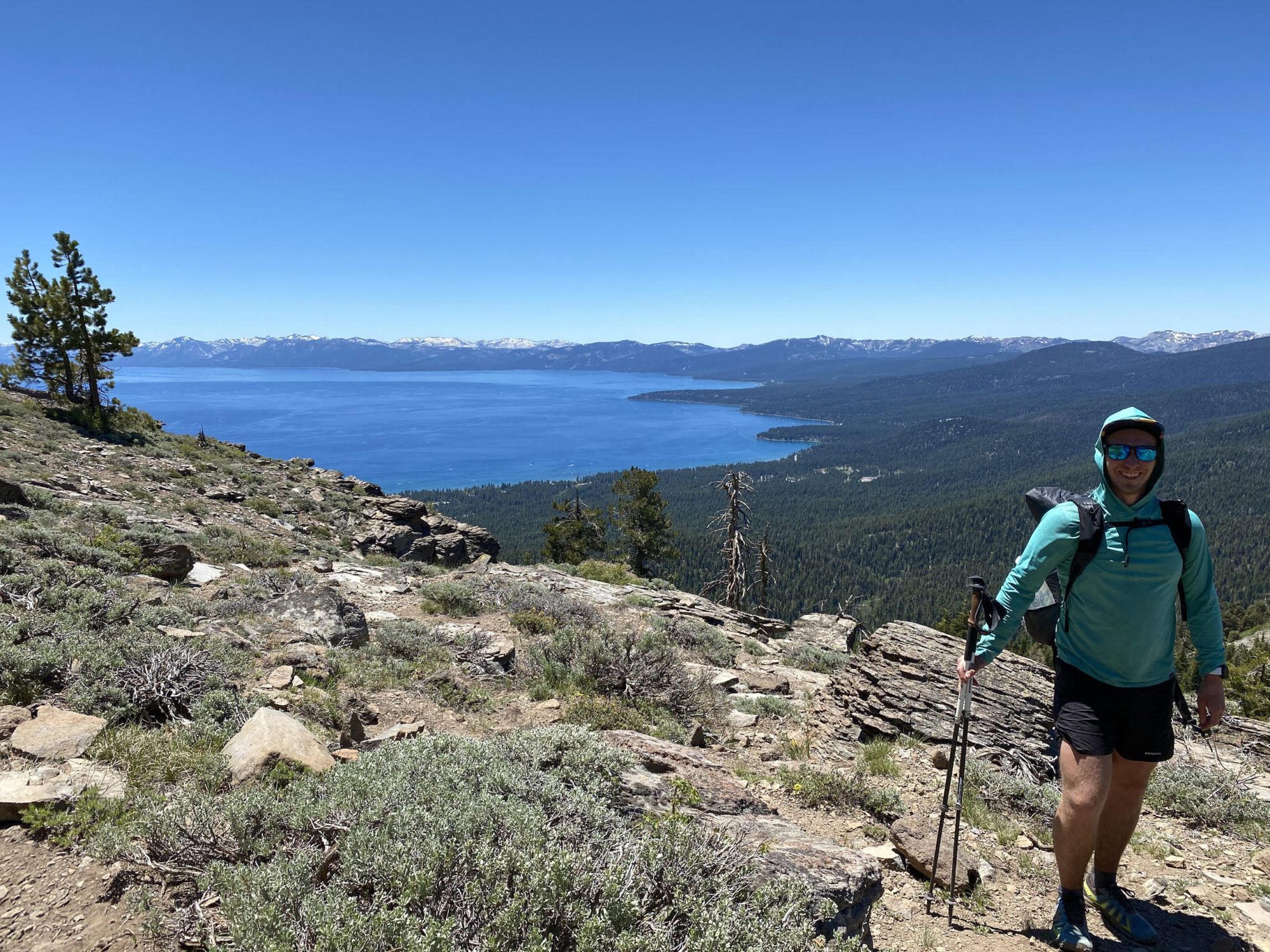
On the other side of Barker Pass, I was greeted by views of Lake Tahoe. I still had one climb left for the day, entering Granite Chief Wilderness. There was still a bit of snow on the north slopes, but nothing that slowed down progress.
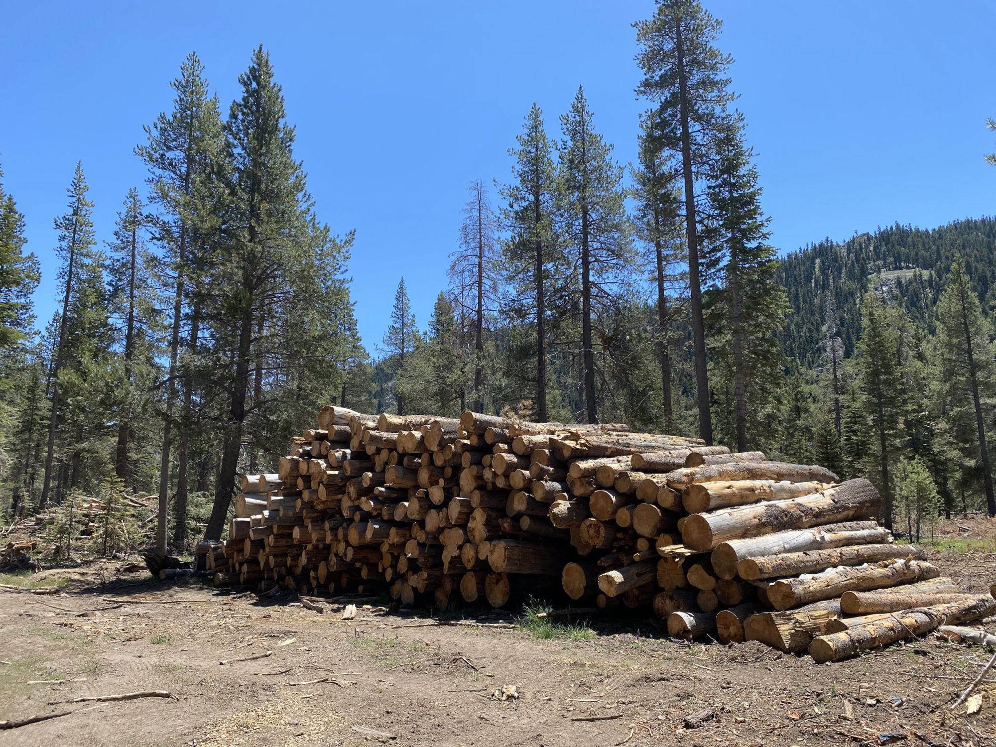
Descending from Twin Peaks, I walked through a large area of forest that was being thinned out. Lumber trucks kicked up a dust storm in their wake on the dry dirt road.
From Ward Creek, I only had 3 more miles to go. This time, I decided to take the slightly shorter old TRT which ended up being nicer than the new TRT.
When I got to Tahoe City, I grabbed some late lunch, then checked into a motel. Later, I resupplied at the local Save Mart and picked up a pizza for dinner.
Tahoe City to Watson Lake
Today was going to be one of my shortest days because of the long dry stretch after Watson Lake. Because I was in no hurry, I enjoyed a nice big breakfast in town and didn’t hit the trail until after 11.
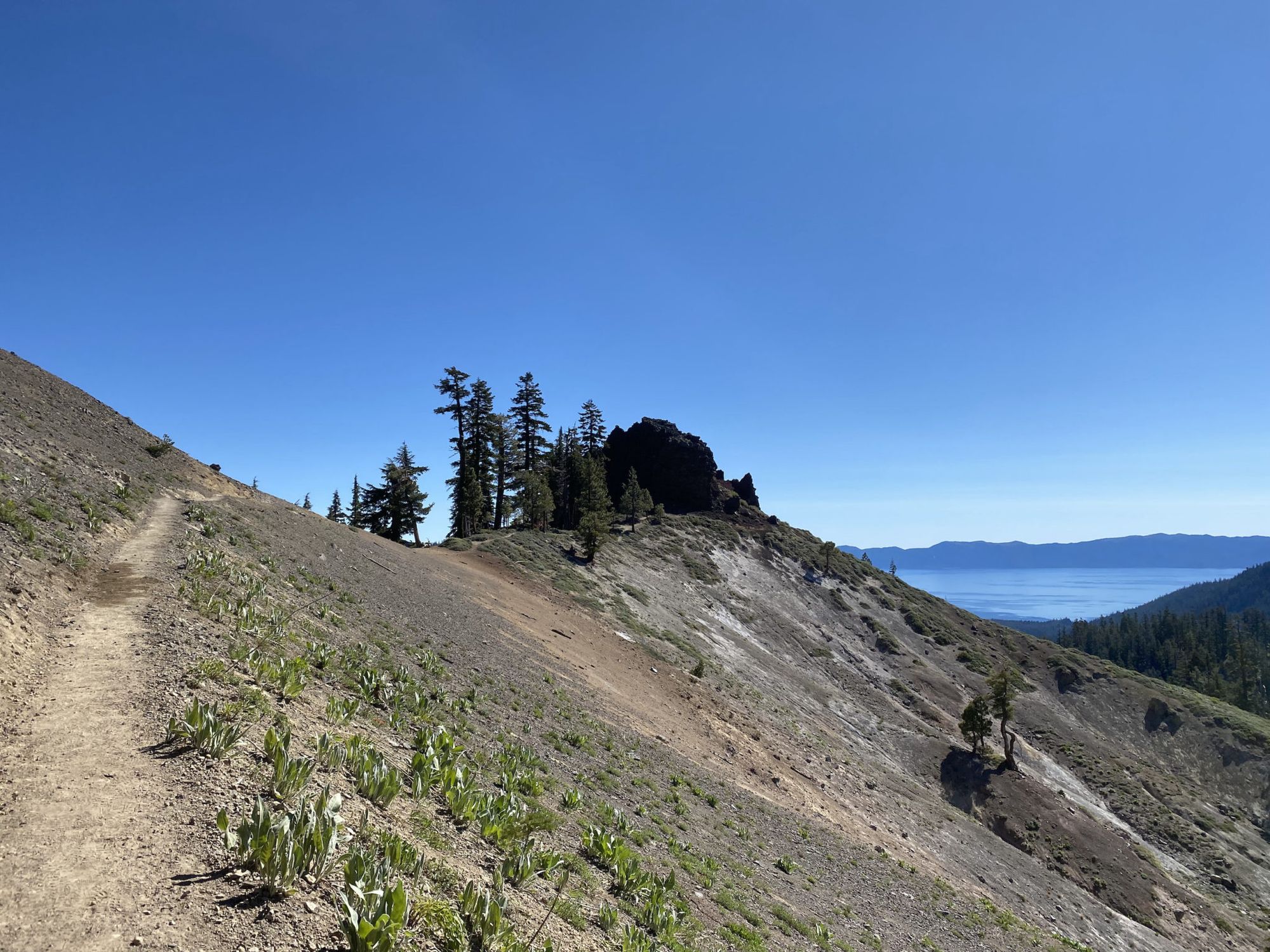
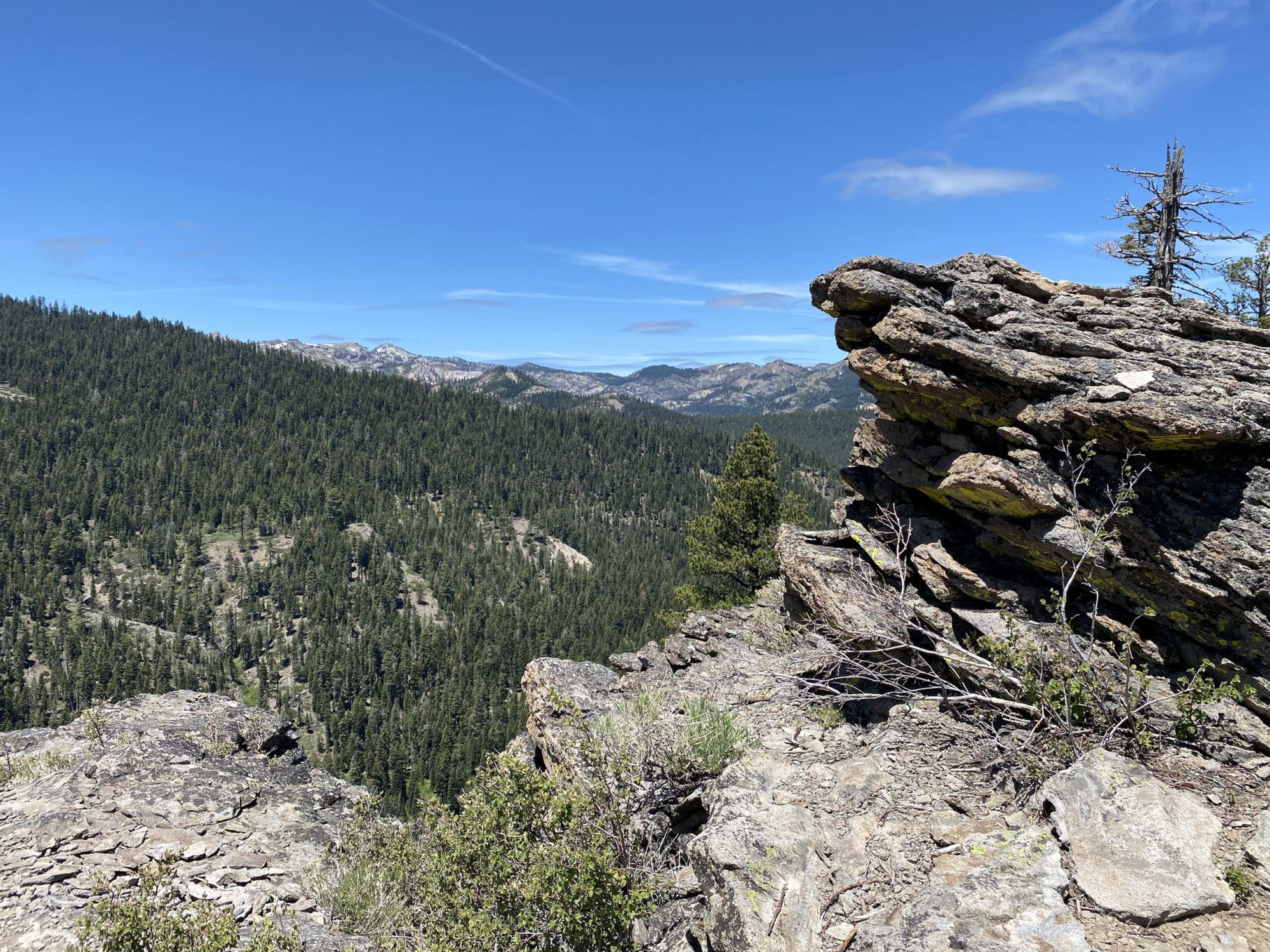
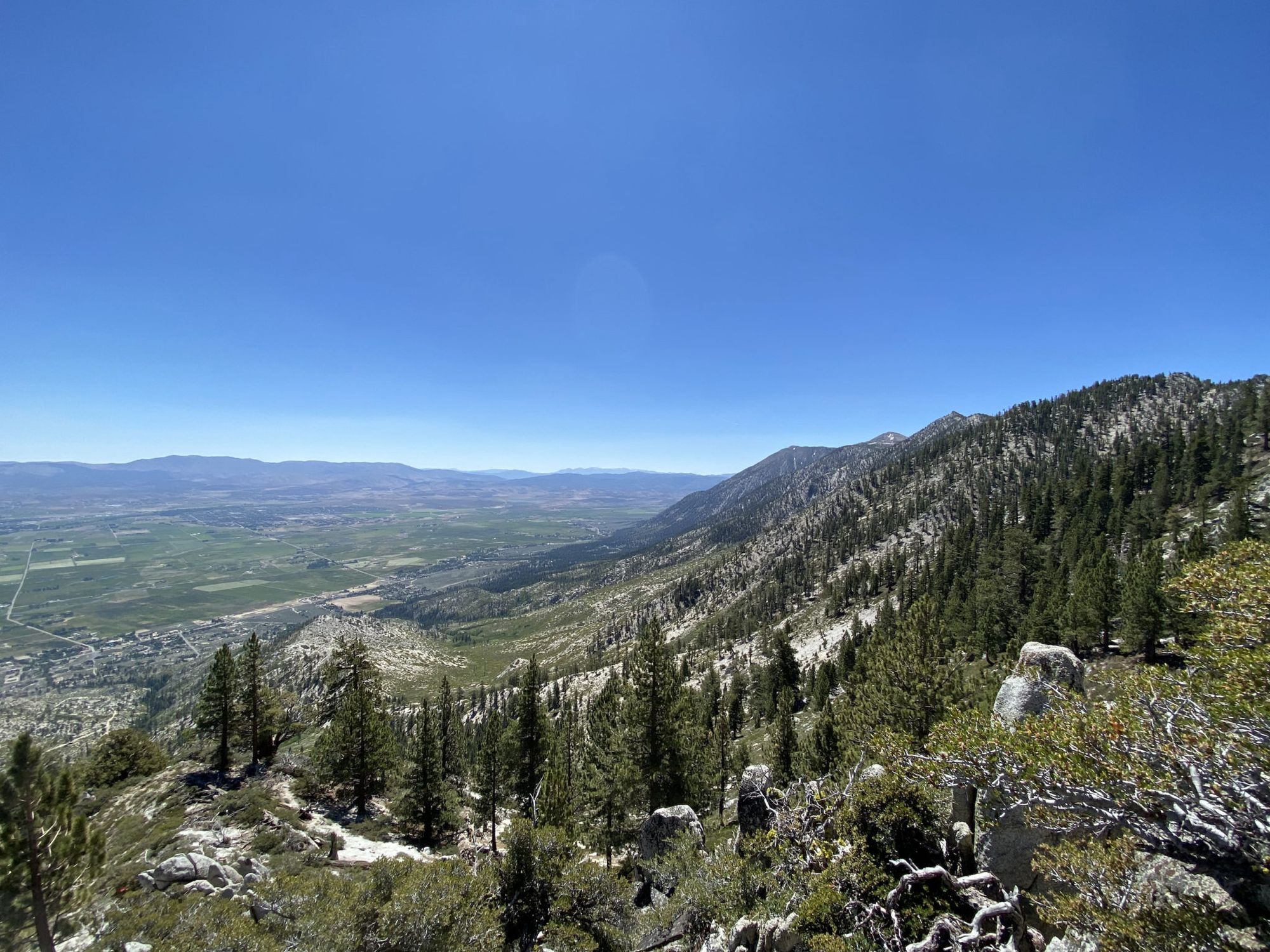
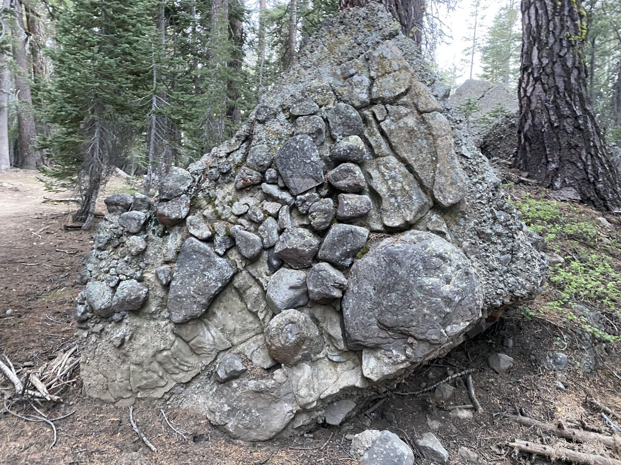
On the climb up from Tahoe City, I got some excellent views of Lake Tahoe and the Truckee River. The trail passed old volcanic rock formations, then contoured Mount Watson with glimpses of the lake peeking through the trees.
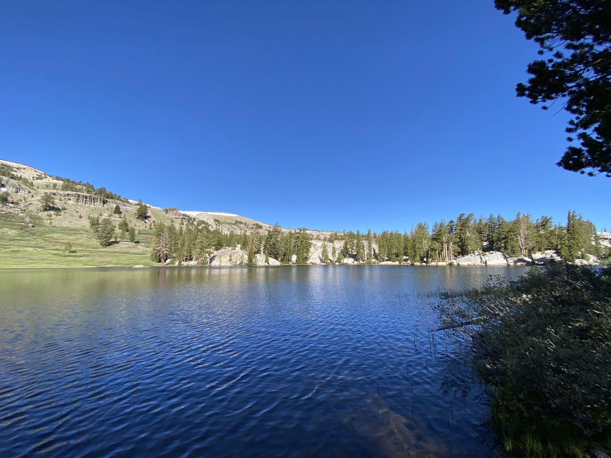
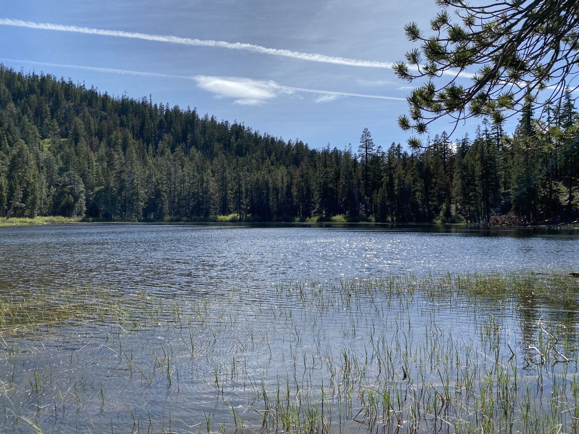
There is a jeep-accessible campground at Watson Lake. When I got there people were driving around with dirt bikes and strolling around the lake in flip-flops with drinks. Not exactly the wilderness experience you might expect from the TRT. I found a secluded spot across the lake from the main campsite for some peace and quiet.
Watson Lake to Galena Falls
My first stop for the day was the small creek just past Watson Lake. A recent comment on Guthook said that the spring in 17 miles is dry. I was skeptical it would be dry this early in the season since it had been flowing well late into last fall according to other comments. Nevertheless, I had to prepare for a 24-mile water carry just in case.
Loaded up with 5 liters of water I set out for the long climb to Relay Peak. I met up with another hiker, Lil Buddha, who was hiking the TRT to get ready for the CDT. We hiked together for most of the day.
At Brockway Summit, we stopped to chat with a group of Tahoe Rim Trail representatives and shared some info on trail conditions.
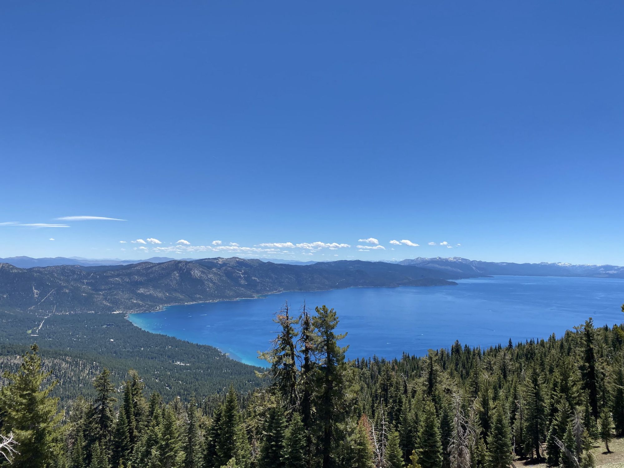
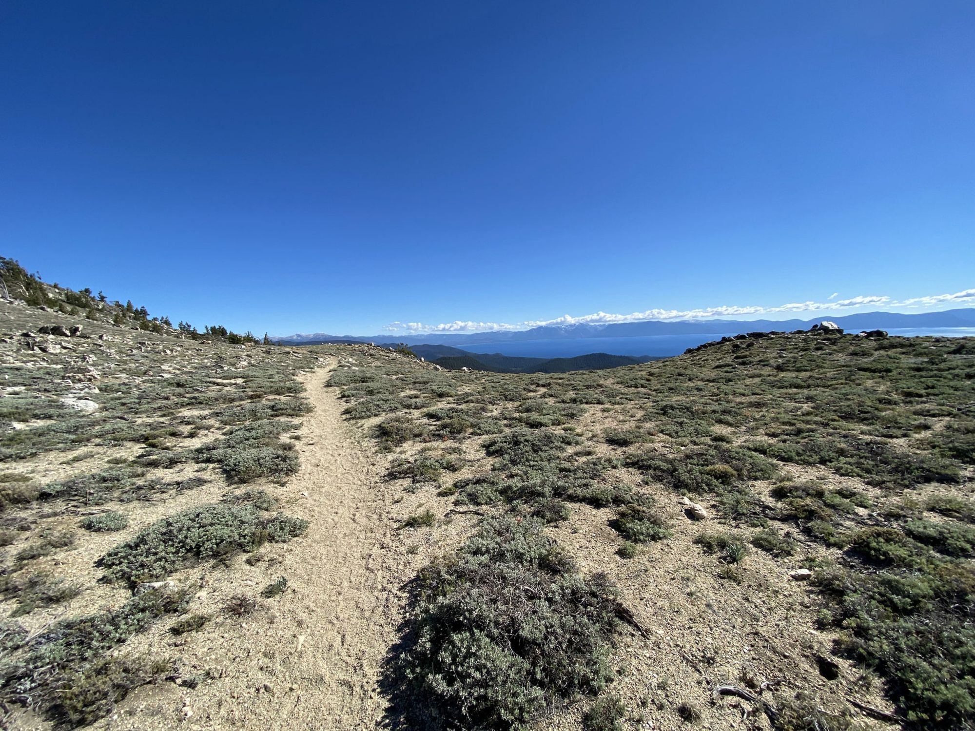
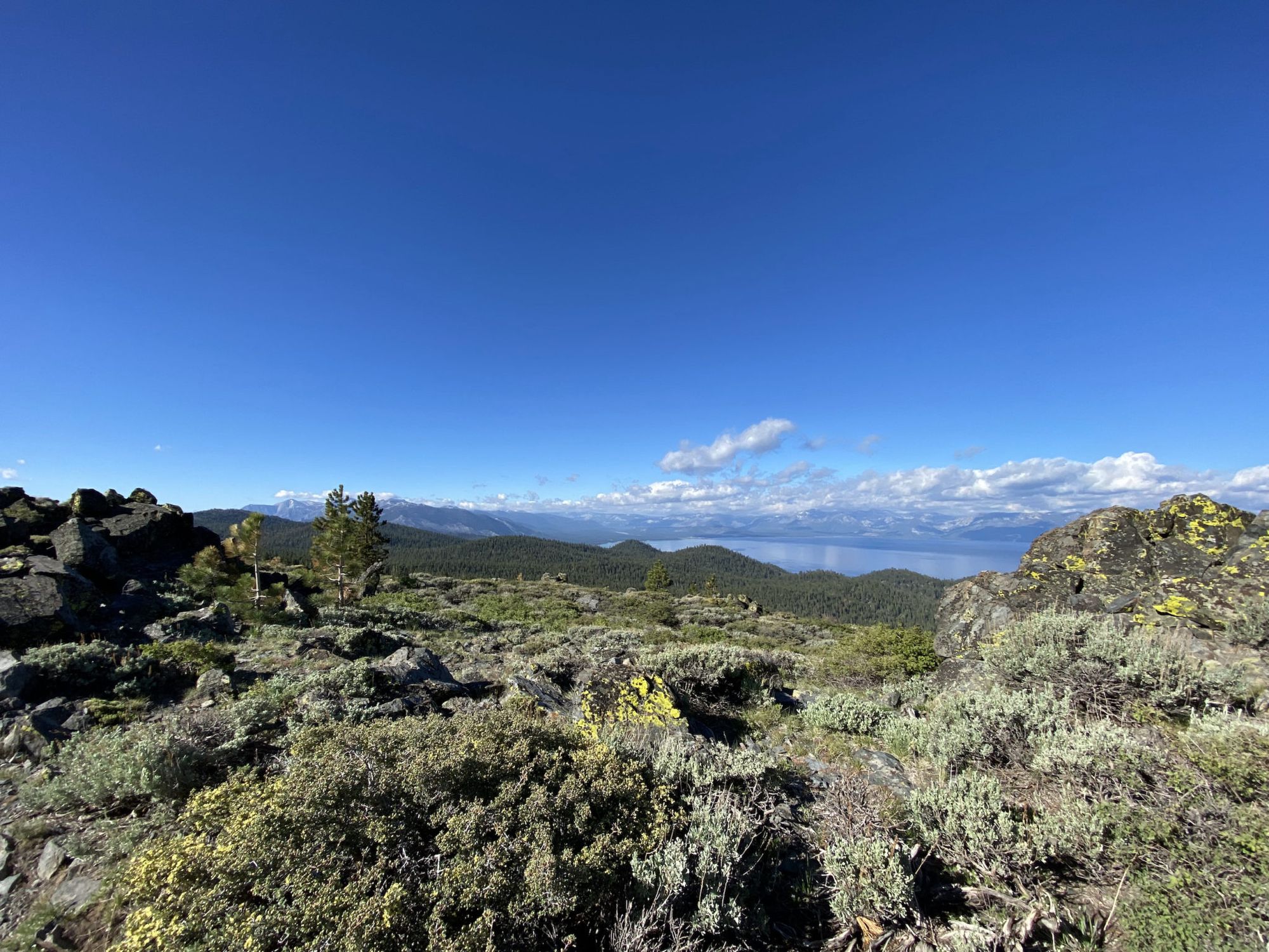
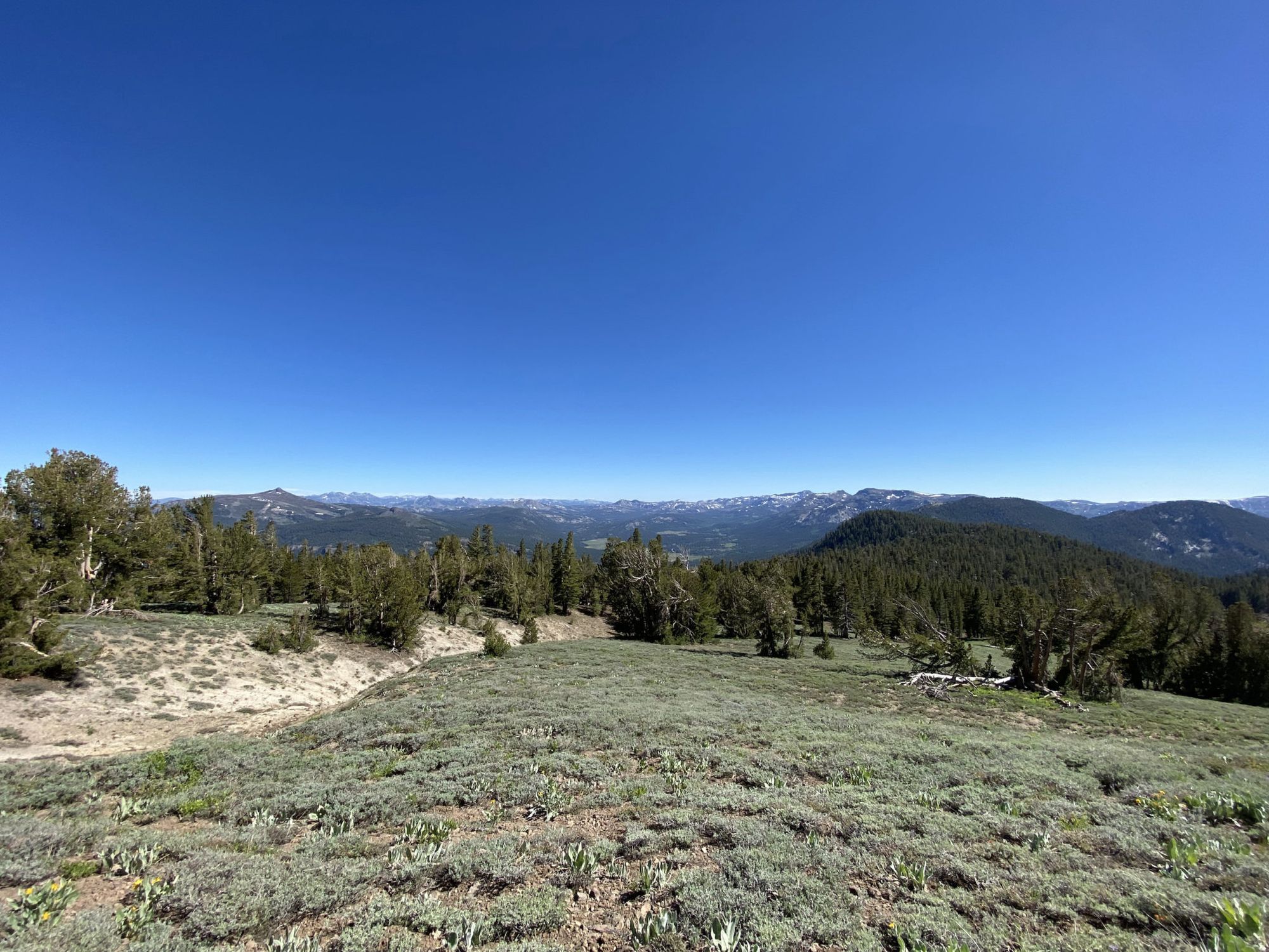
The trail passed through a nice, shaded, forest for the first several miles of the day. As we emerged out of the forest, we got magnificent views of Incline Village and the lake below us.
The spring was still flowing, as I had suspected, but I still had plenty of water. I enjoyed a short snack break in the shade next to the spring before the final push to Relay Peak.
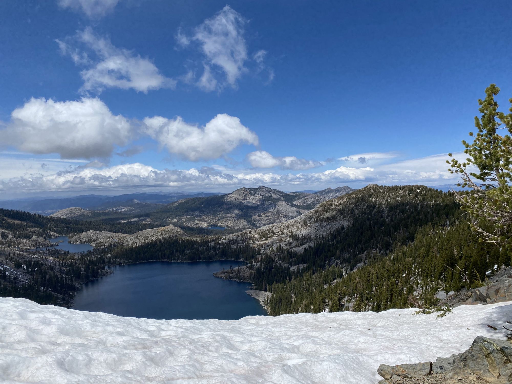
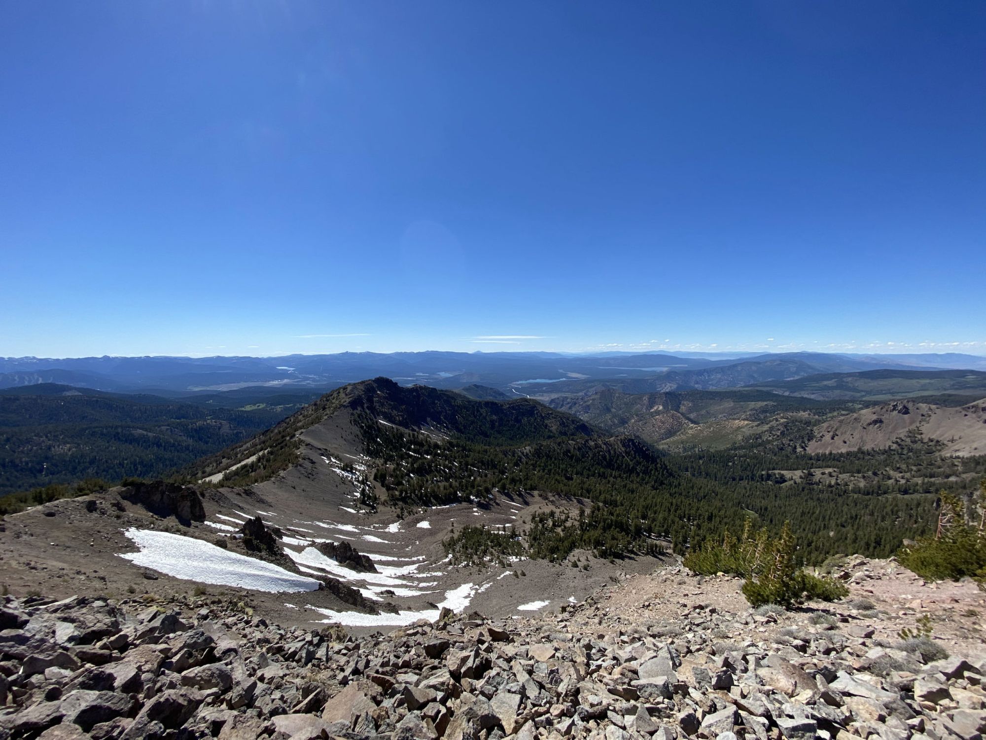
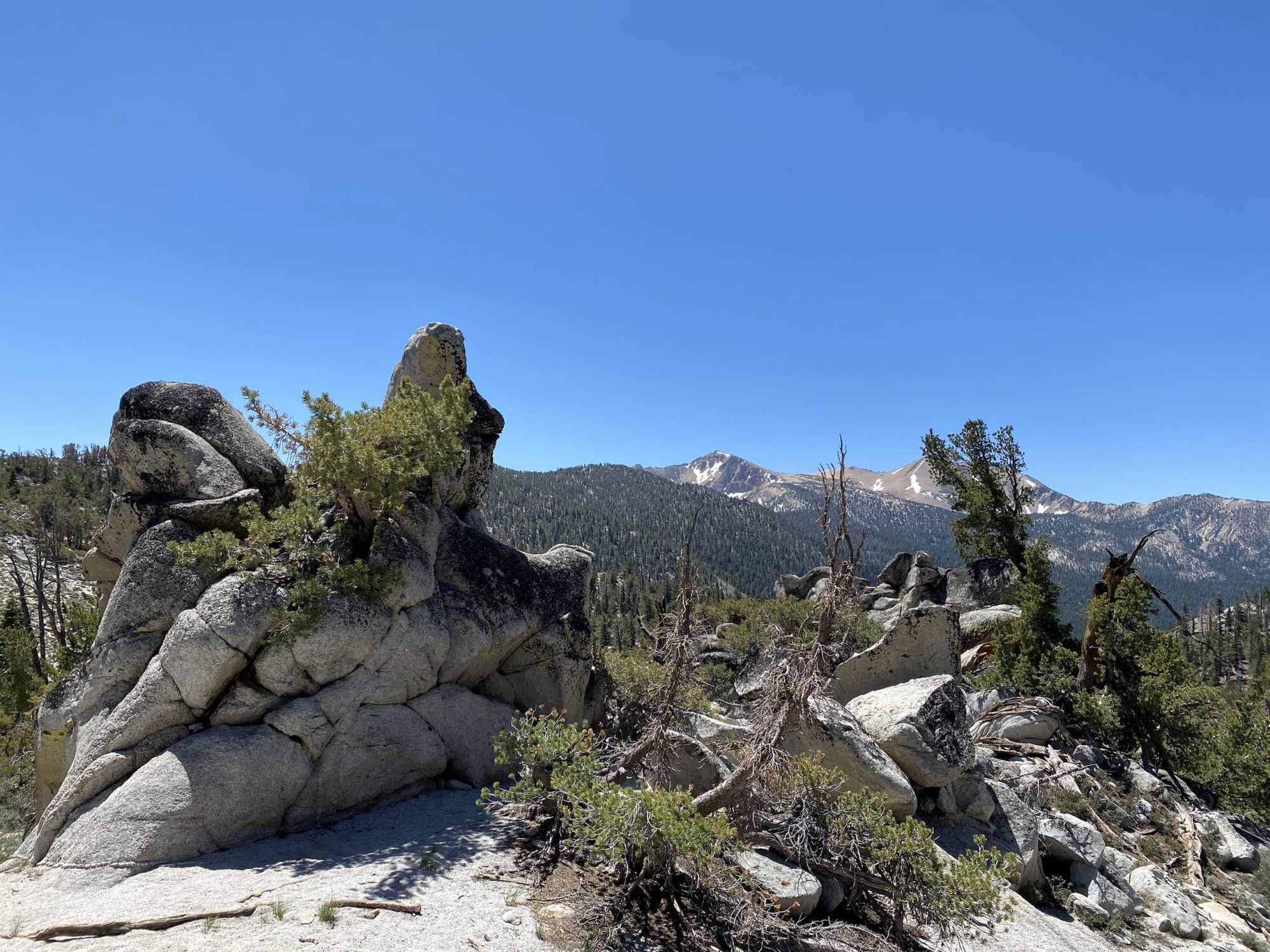
Just before the summit, I hit some lingering snowdrifts. Again, they were small enough to navigate around with ease.
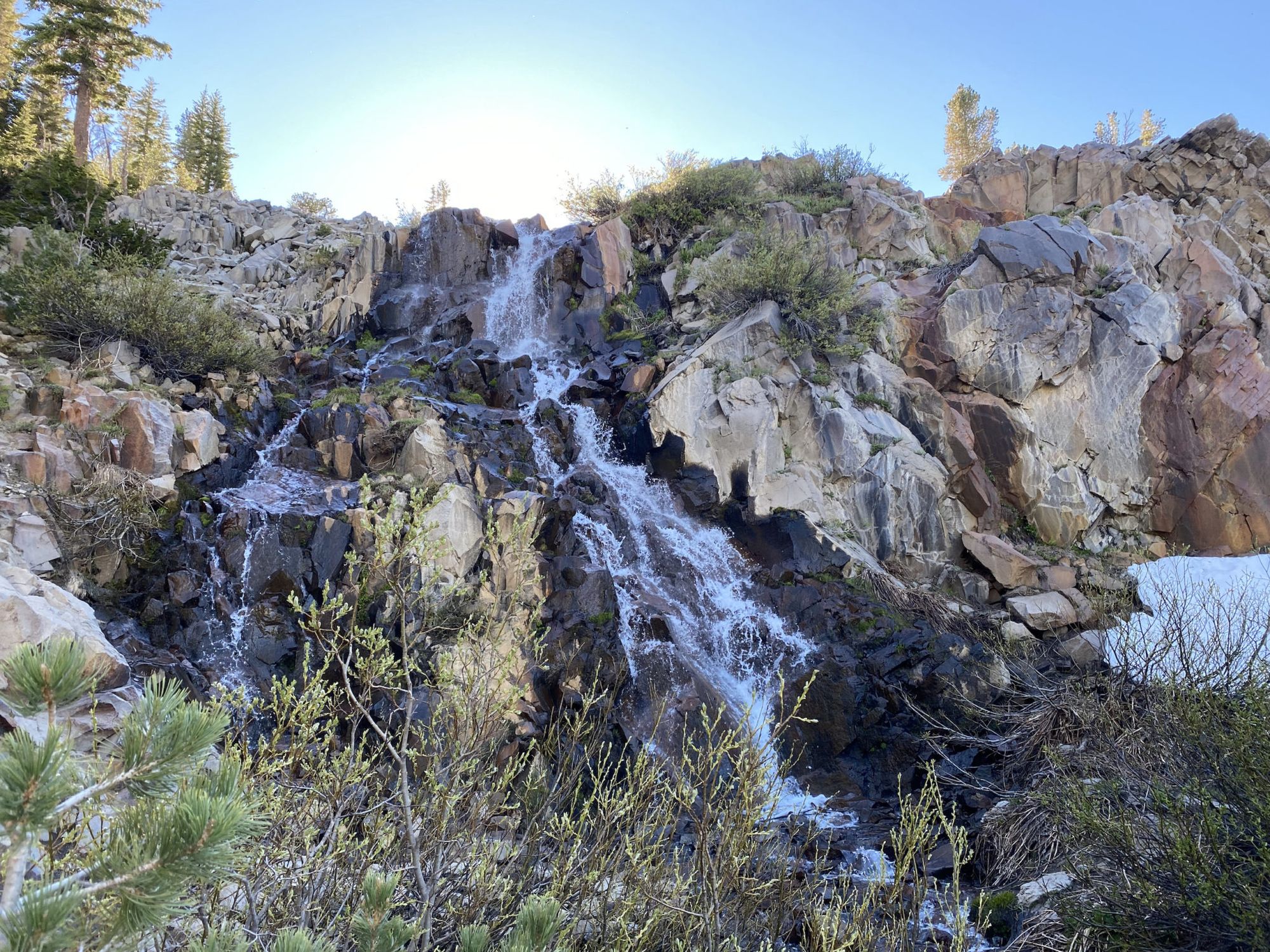
After admiring the views on the summit a while, I continued to Galena Falls and camp. At this point, I had ascended over 5,000 feet and I could definitely feel it. I was ready for some dinner and rest.
I filtered some water beneath the falls so I could dry camp a bit higher up, hoping to avoid mosquitoes. I found a nice spot and ate some well-deserved dinner. According to my watch, I had burned 3,700 calories – far more than I had eaten.
Galena Falls to the south of Spooner
I slept well. The only interruption in the quiet night was a group of night hikers that came through singing on the trail just after 3 in the morning, illuminating their way with what can only have been a portable sun.
My plan was to hike to Marlette Campground, just over 16 miles away. But the first stop would be the Mount Rose campground to use the pit toilet and empty out trash.
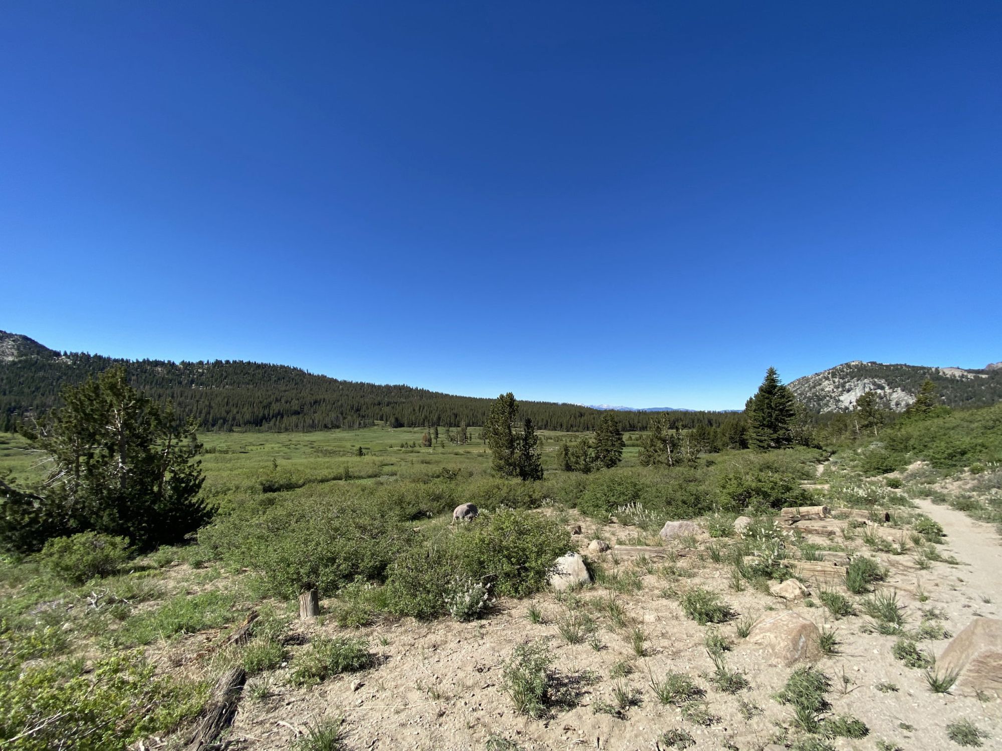
After crossing Mount Rose Highway, the trail passes through Tahoe Meadows. I filtered a liter of water from the creek before re-entering the forest.
The creek I had eaten lunch at during my previous trip in late July 2018 was already bone dry in early June. I had to backtrack a bit to get water at a spring I had passed earlier.
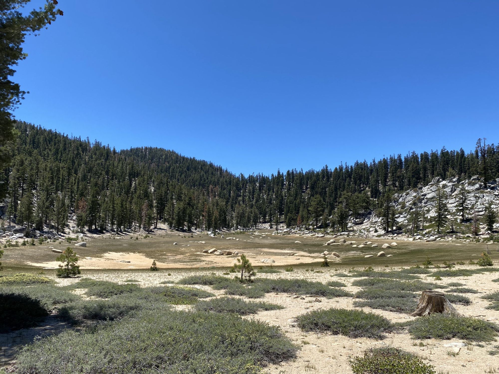
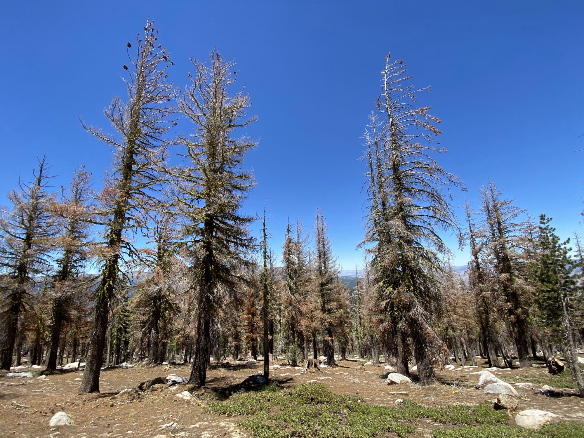
The Twin Lakes were no longer lakes, instead, they looked like a meadow. Past Twin Lakes, I walked through a large area of beetle-killed trees that I don’t remember seeing last time. It’s sad to see the effects the drought and heating climate are having on the sensitive subalpine ecosystem.
I arrived at Marlette Campground around 3 in the afternoon. After getting some water and setting up my camp, I realized I would get bored out of my mind sitting at a developed campground all by myself for the next 6 hours until it got dark. So, I packed up camp and decided to keep hiking.
The issue was that there is a camping restriction until Spooner Summit, which meant that I needed to hike at least 10 more miles before I could set up camp. To make matters more complicated, there wouldn’t be any water on this section either, so I needed to once again fill up on 5 liters of water.
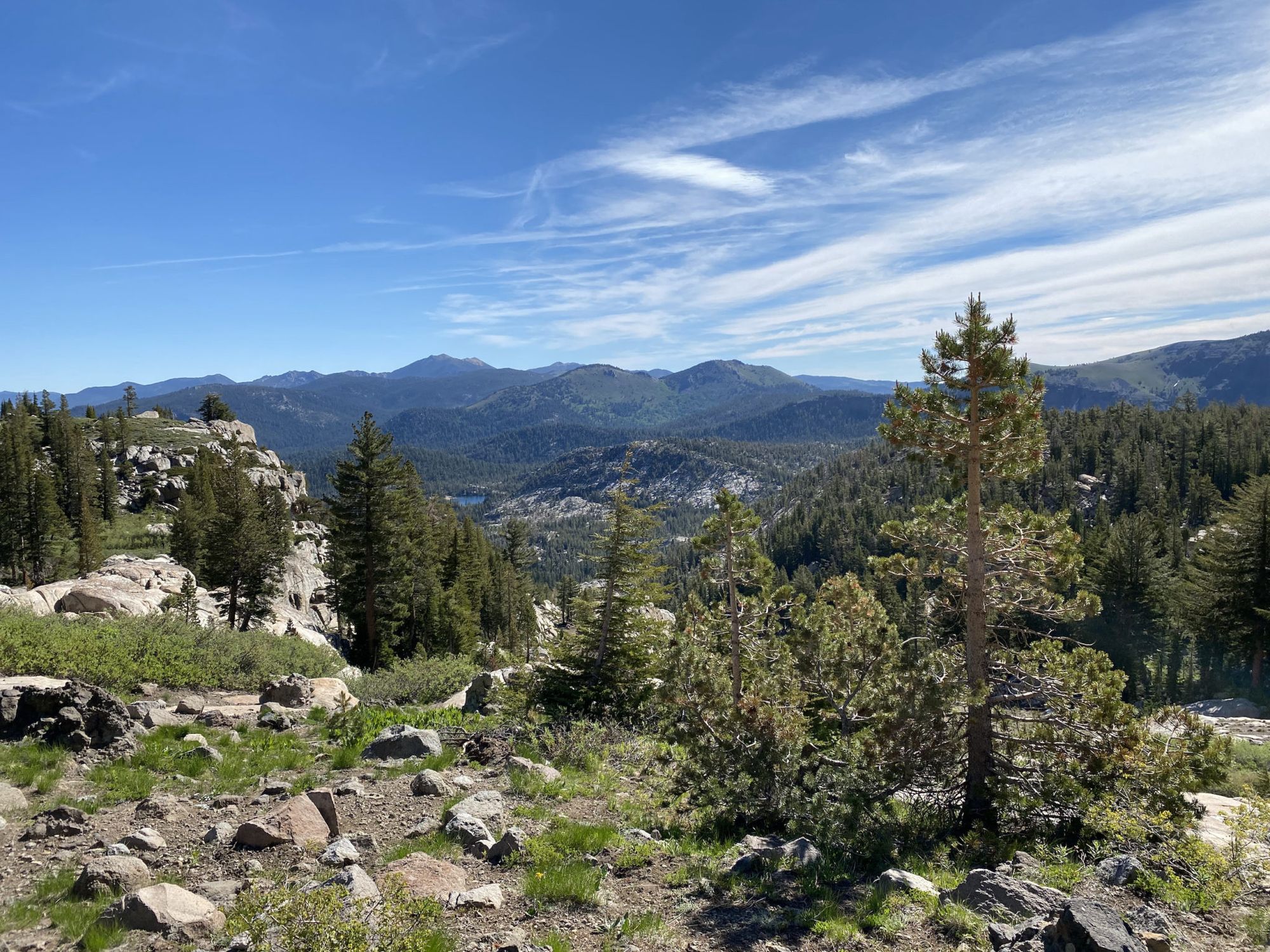
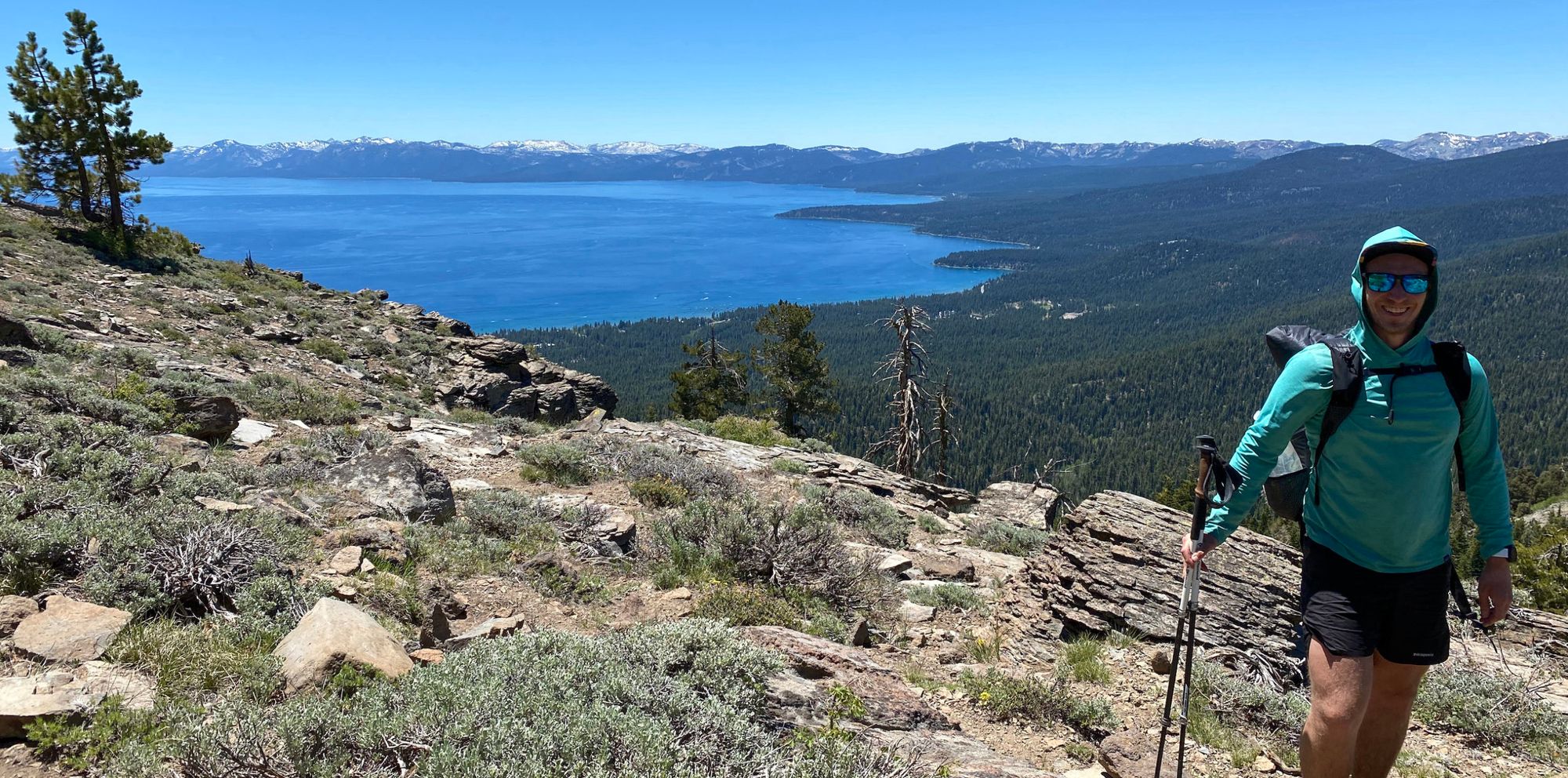
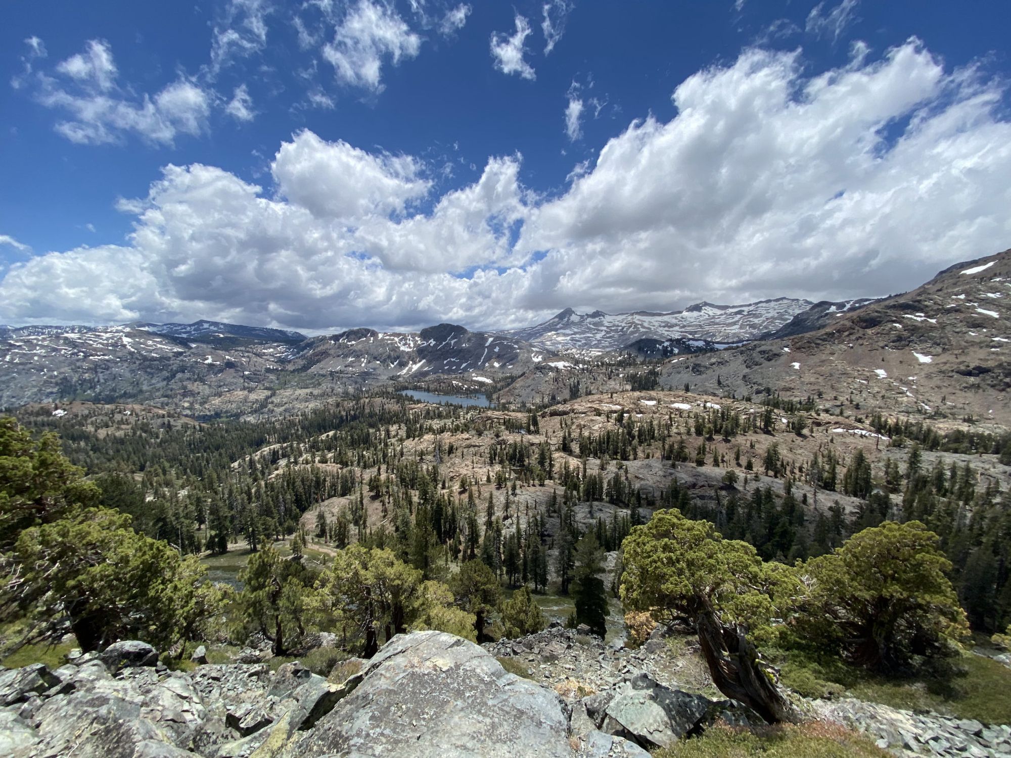
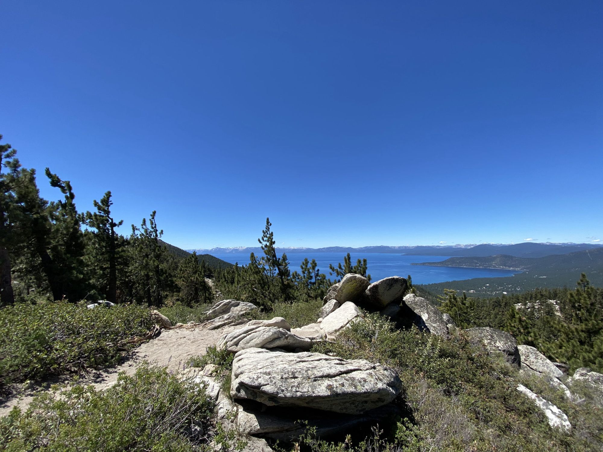
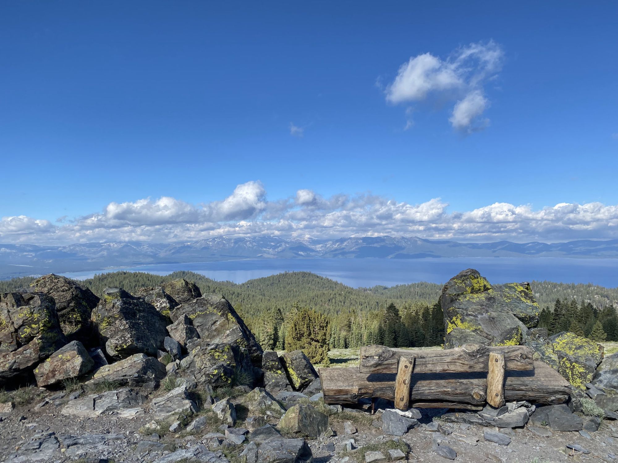
The views south of Marlette were some of the most spectacular on the entire trip. I had a full view of both Lake Tahoe and Marlette Lake. But it was getting late and I was getting blasted by a strong wind, so I needed to keep going.
Most of the way to Spooner was fortunately downhill. I only needed to climb for the last mile or so after crossing the road. I found a campsite that was sheltered from the roaring wind. After setting up camp, I stretched and ate a quick snack before retiring for the day. It had been another long day and I was exhausted.
South of Spooner to South Lake Tahoe
I packed up camp and got started on what I thought would be a short day to Kingsbury North. I planned to grab an Uber into South Lake Tahoe from there.
I passed South Camp Peak and my campsite from my previous trip in 2018. Back then, I couldn’t see the lake because of all the smoke, so I got to experience the full view for the first time. It didn’t disappoint.
From the bench, I had about six more miles to Kingsbury, all downhill. I could already see the ugly casinos at Stateline through the trees. I skipped my snacks, saving my hunger for a big lunch in town.
When I got to the trailhead, I washed up the best I could with a towel and some wet wipes, then ordered an Uber. Or, at least that’s what I tried. There were no Uber or Lyft cars available. A Guthook comment mentioned that they had called a Yellow Cab instead, so I tried that. They refused to drive the 10 minutes up from Stateline.
Disappointed and increasingly hangry I returned to the trail. I had another 9 miles and 1,500 ft of elevation to walk into South Lake Tahoe.
The trail snaked through boulders on the descent to Kingsbury Grade. I could have tried to hitchhike from there, but I decided to keep walking. From the road, the trail climbed a couple of miles to the intersection with the Van Sickle connector trail that I would take down.
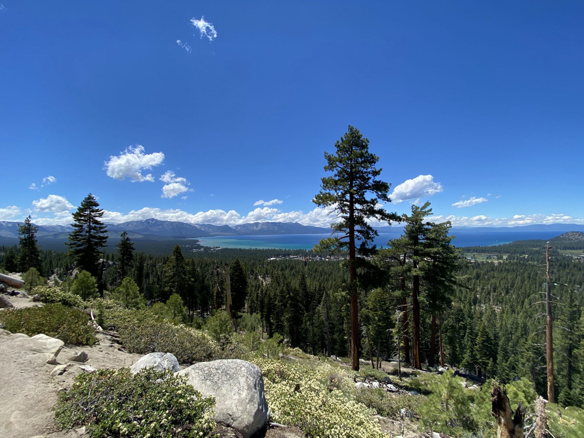
The walk down Van Sickle had beautiful views of the lake and the beachfront. The loose sand kept filling my shoes as I stepped down, forcing me to stop and empty the shoes every few minuted. Should have remembered to bring my gaiters.
Almost three hours after setting out from Kingsbury, I was finally in town. I sat down at the first pizzeria, ordered a large pie and a cold beer. With my belly full, I walked to my motel and washed off the trail dust.
South Lake Tahoe to Round Lake
This would be the big day, 50k.
I stopped at a breakfast restaurant on the way to the trailhead and ate a steak and eggs breakfast with several cups of coffee.
It was 4 miles and 1,500 ft of elevation to get back to the Tahoe Rim Trail along the Van Sickle connector. The morning was still cool, making the climb easier.
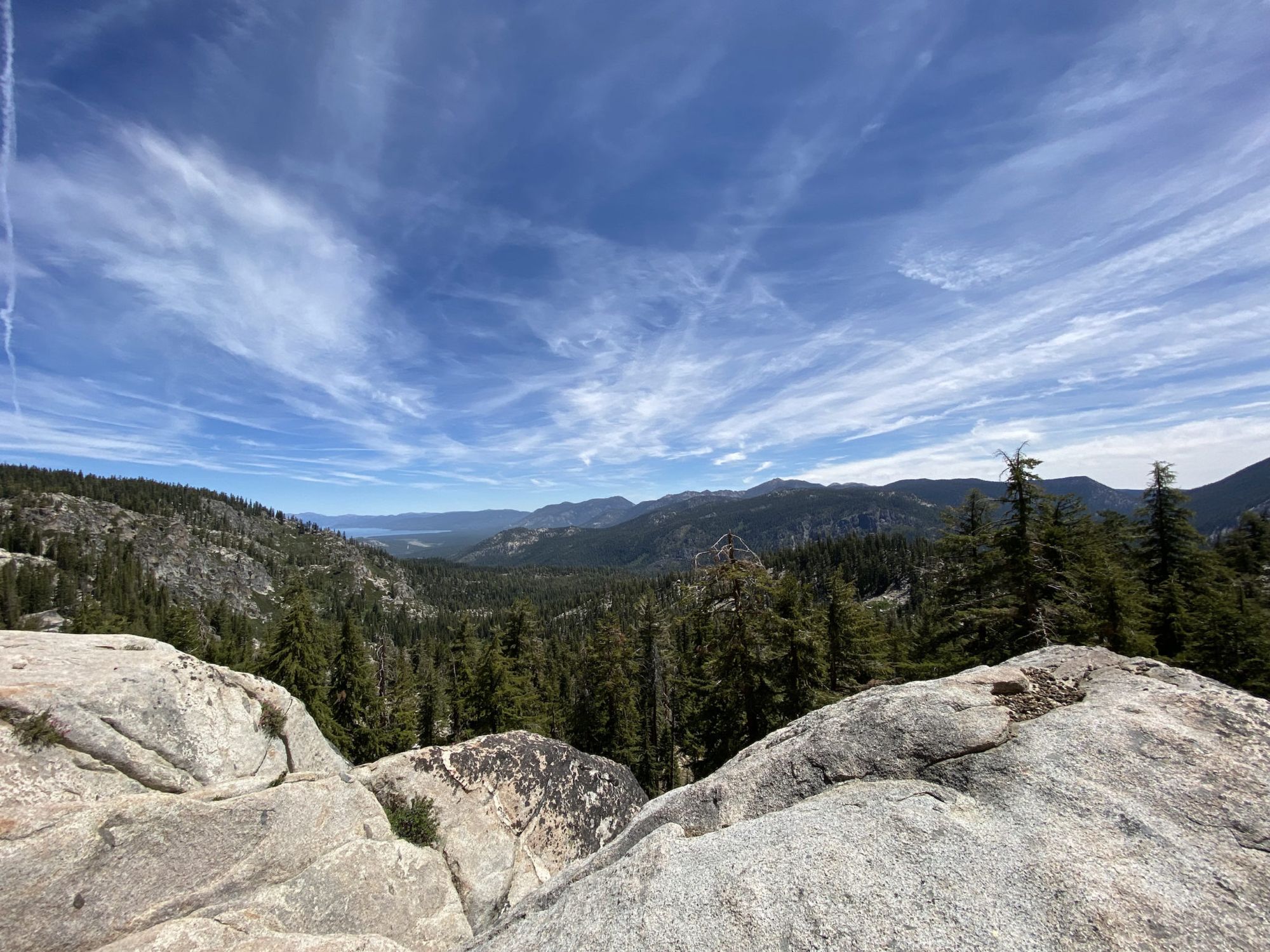
As the trail continued south, it passed through the Heavenly ski area with expansive views of the Carson Valley to the east.
On the way to Star Lake, I passed the same group of mountain bikers twice. The first time they laughed and promised they would try to stay out of my way. The second time I passed them 5 miles later we all laughed at the absurdity and they questioned my sanity of trying to go over 30 miles in a day.
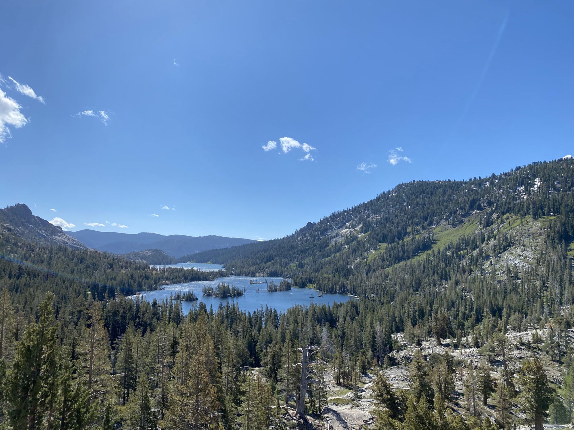
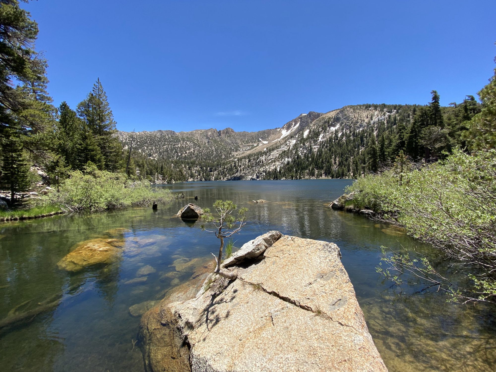
I took a snack break at the small stream a mile after Star Lake, the same place I camped at on my first trip. I was half way to my goal and still feeling good.
After the break I climbed the last 500 feet to the pass below Freel Peak. After 15 miles of going up nonstop, a downhill was a welcome change.
I was able to stay light, only carrying a liter of water between water sources. I filled up at Freel Meadows and again at the bridge just before the Big Meadow trailhead.
At this point, I was really starting to feel the miles in my legs. I stretched my muscles any time I took a break and made sure to stay hydrated and fed. I only had 3 miles to go. Unfortunately, much of it would be uphill.
I hadn’t seen a single mosquito on the entire trip until I came to Big Meadow. It was like entering the world congress of mosquitoes. I was still hiking in shorts and they were savagely eating my legs. I didn’t want to stop, so instead, I pushed harder.
I got to Round Lake just as the alpenglow was fading from the rock wall. I quickly scrubbed the trail grime off my legs and put on layers to escape the mosquitoes. After setting up camp, I ate an absurdly large dinner and went to bed. It didn’t take long to fall asleep.
Round Lake to Echo Lakes
As I was getting ready in the morning, I noticed that I had a blister on my pinky toe. The first one I’ve had in several years. The Inov-8 G270s I was wearing had felt a bit snug and seven long days had been too much for my squished toes. Nothing a bit of Leukotape couldn’t take care of. It was the last day and I only had 15 miles to go.
The trail joins the northbound PCT in a large meadow and crosses the Upper Truckee River. Usually the river is a wet crossing well into the summer, but this year it was easy to cross with dry feet.
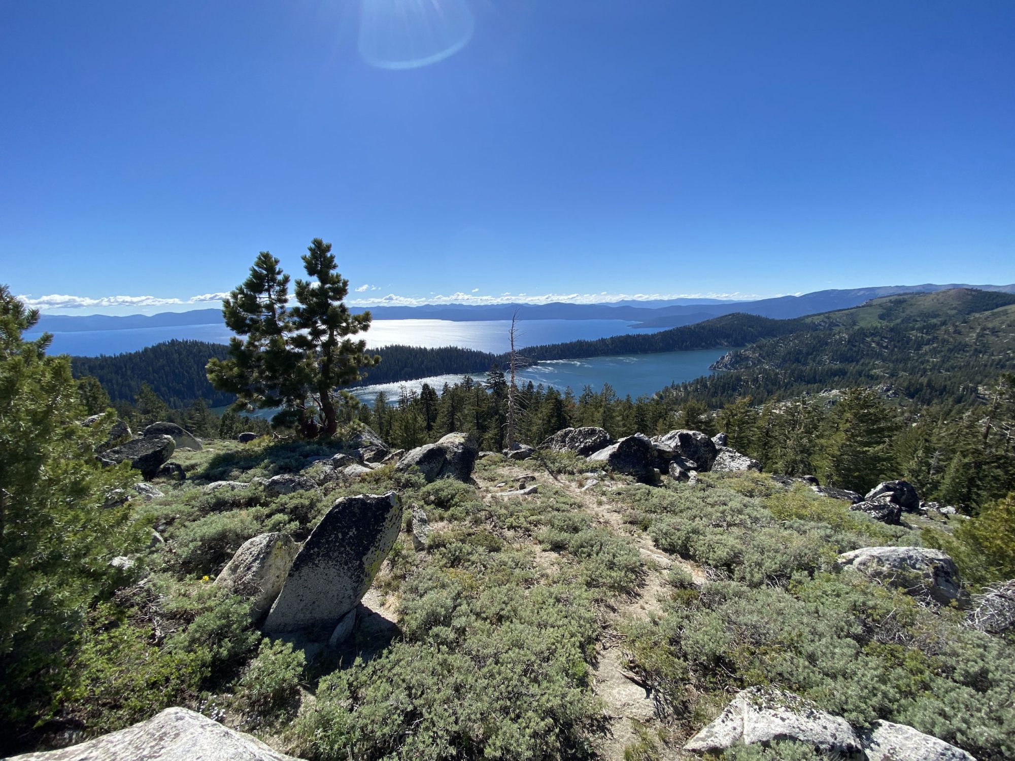
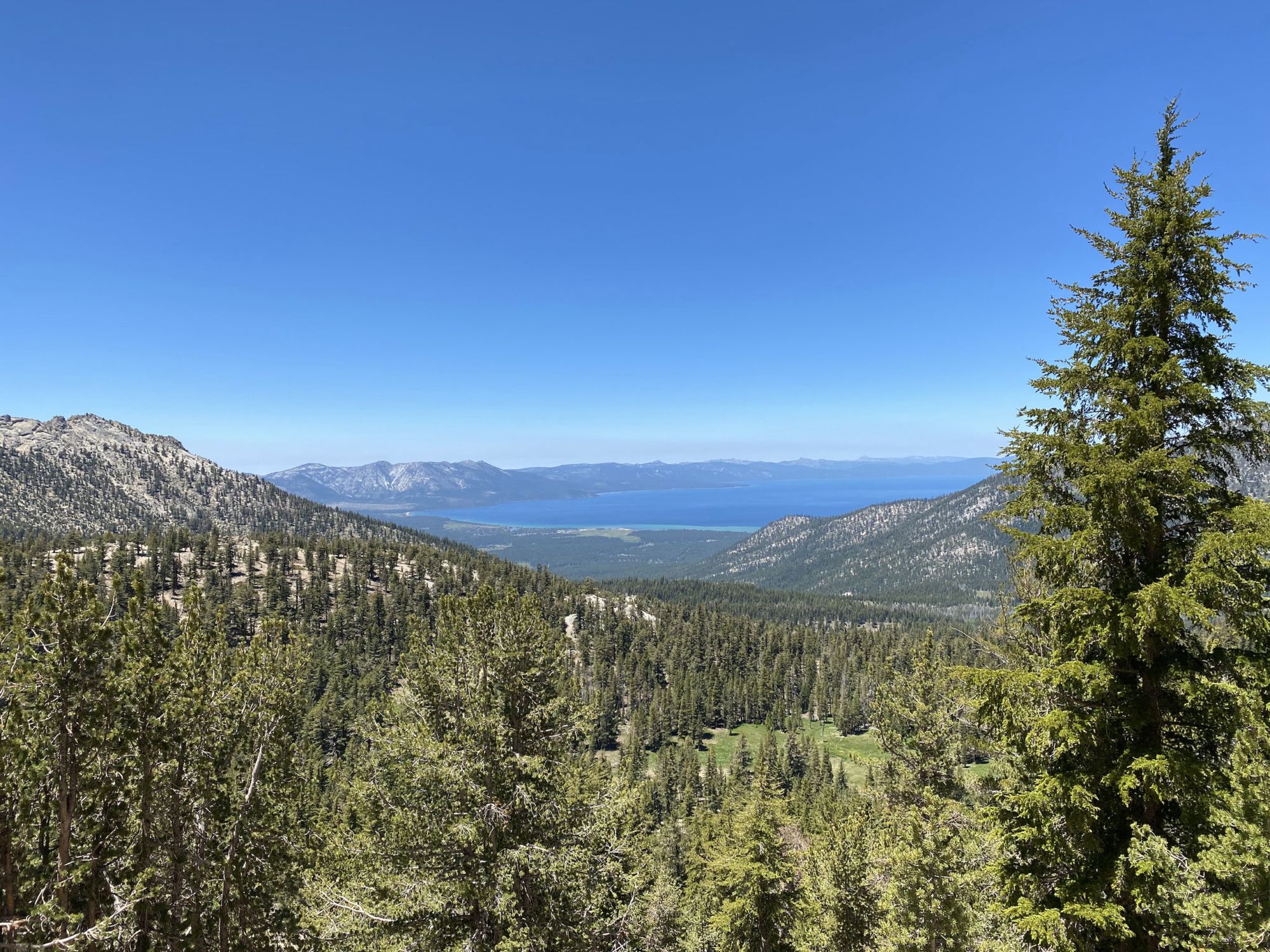
After Showers Lake the trail contours a cirque with views of Lake Tahoe in the distance. Last time I hiked here it was covered in snow, but this time only patches remained.
The descent to highway 50 is steep and rocky, with hundreds of stone steps. My feet were not impressed after the previous day.
The last mile before the highway had been rerouted since my last trip. The new trail was nice because it was farther from the road noise and offered better views.
From the highway, it’s 1.5 miles to the Echo Lakes trailhead. The trail snakes through residential areas, climbing above property lines so that when you get to the parking lot you need to drop a few hundred feet.
To my relief, my car was where I left it. It was covered in a thick layer of pine pollen, but started right away.