TRT section hike: Van Sickle to Echo Summit
This 40-mile weekend hike of the Tahoe Rim Trail started in South Lake Tahoe and followed the trail to Echo Summit. Early season snowy conditions in July 2019.
I’m preparing to hike the John Muir Trail in just two weeks, and this was my last chance to dial in my gear and get some trail miles in. With the big snow year that we’ve had in 2019, I wanted to pick a section with a bit of snow so I could also verify that my gear worked well in that.
Last weekend I re-hiked a section of the Tahoe Rim Trail that I did last year. I described the section in more detail in my previous posts, so I won’t go into that much detail about the trail itself here.
The only significant change to my gear is that I switched from an inflatable NeoAir X-Lite to a Nemo Switchback CCF pad. I couldn’t get comfortable on the X-lite because my arms keep falling off the sides. When I got a puncture in it on my last trip to the Trinity Alps, I finally decided to go back to a CCF pad.
Day 1: Van Sickle trailhead to Freel Peak, 14.5 miles
I started driving towards Tahoe at 5AM on Friday to beat the morning traffic. After a breakfast stop, I was in Tahoe a bit after 9. After figuring out parking and slapping on some SPF50, I was on the trail at 10.
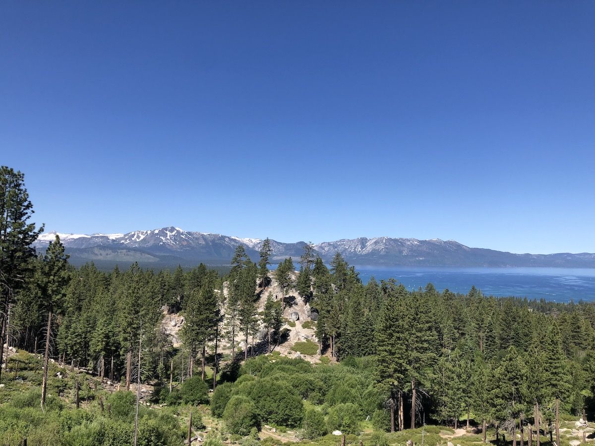
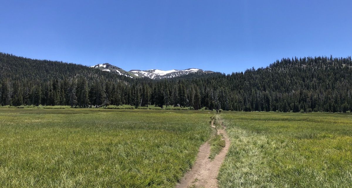
I hadn’t hiked the Van Sickle connector before. It was a beautiful 3-mile hike with expansive views of the lake. As the casinoes disappeared behind me, I joined the TRT and got to enjoy some of my favorite sections of the trail.
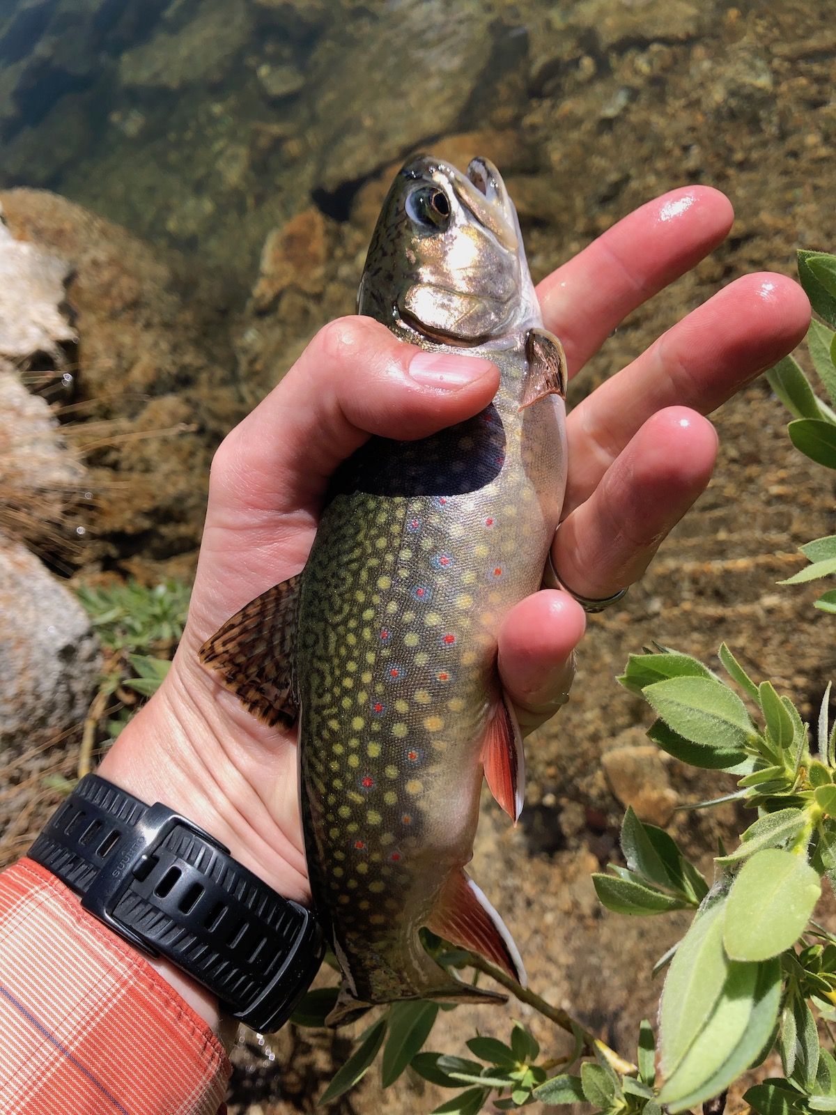
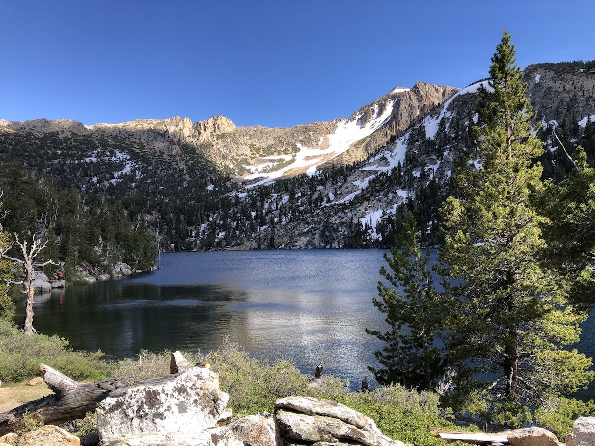
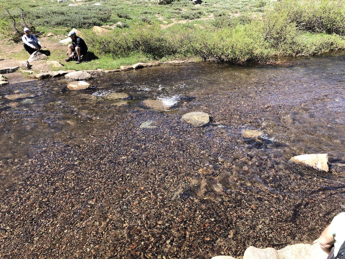
On my thru-hike last year I skipped Star Lake as it was getting late and there were a lot of people already camped around it. This time, I was at Star Lake already before 2PM, so I had plenty of time to stop, take a swim, and do some fishing with my Tenkara rod.
The water was crystal clear. I could see the trouts swimming around casually, clearly accustomed to people being around. Sight-fishing was a blast. I tried a few different files. The one that seemed to work best was a black #14 Perdigon nymph with a silver bead. Any time it plopped in the water, the trout just swarmed it.
After spending a few hours at the lake, I continued on to find a campsite. I wanted to get away from the lake to avoid mosquitoes and get a bit of solitude.
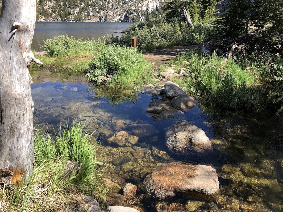
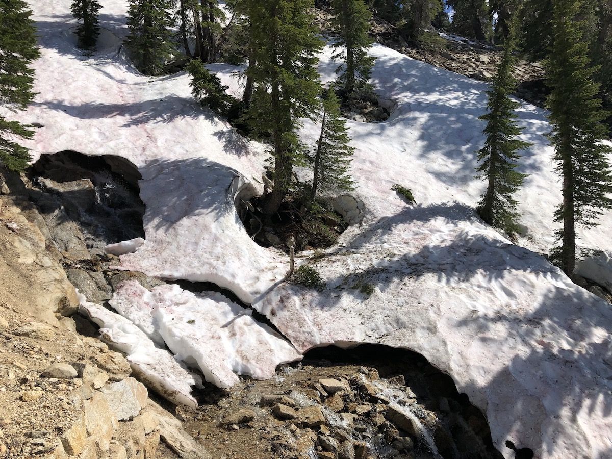
The outlet was easy to cross with dry feet on the stepping stones. The trail had been dry and clear of snow up until Star Lake, but immediately after it, I stared encountering lingering snowdrifts. They were small and easy to navigate.
The only snowdrift that was a bit sketchy was a snow bridge over a small stream. I kicked it to check if it held – it promptly collapsed. I then stepped over the collapsed part and continued on.
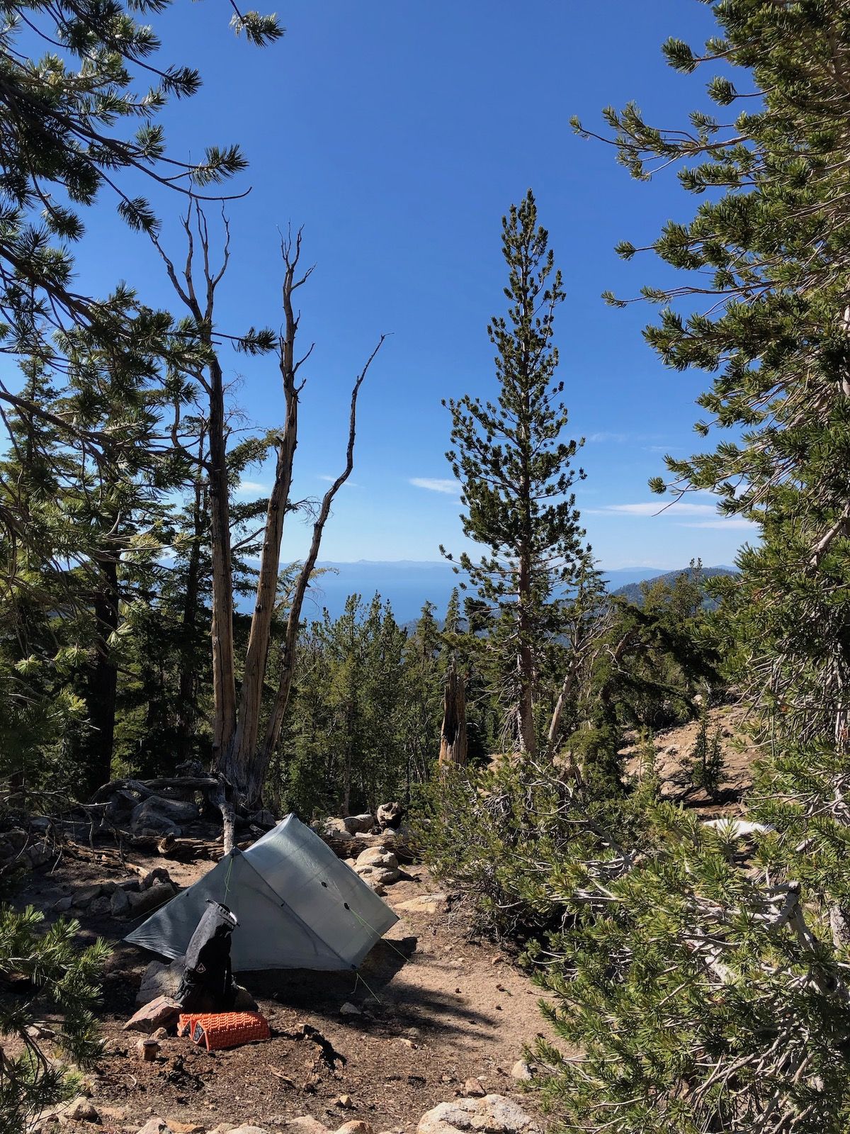
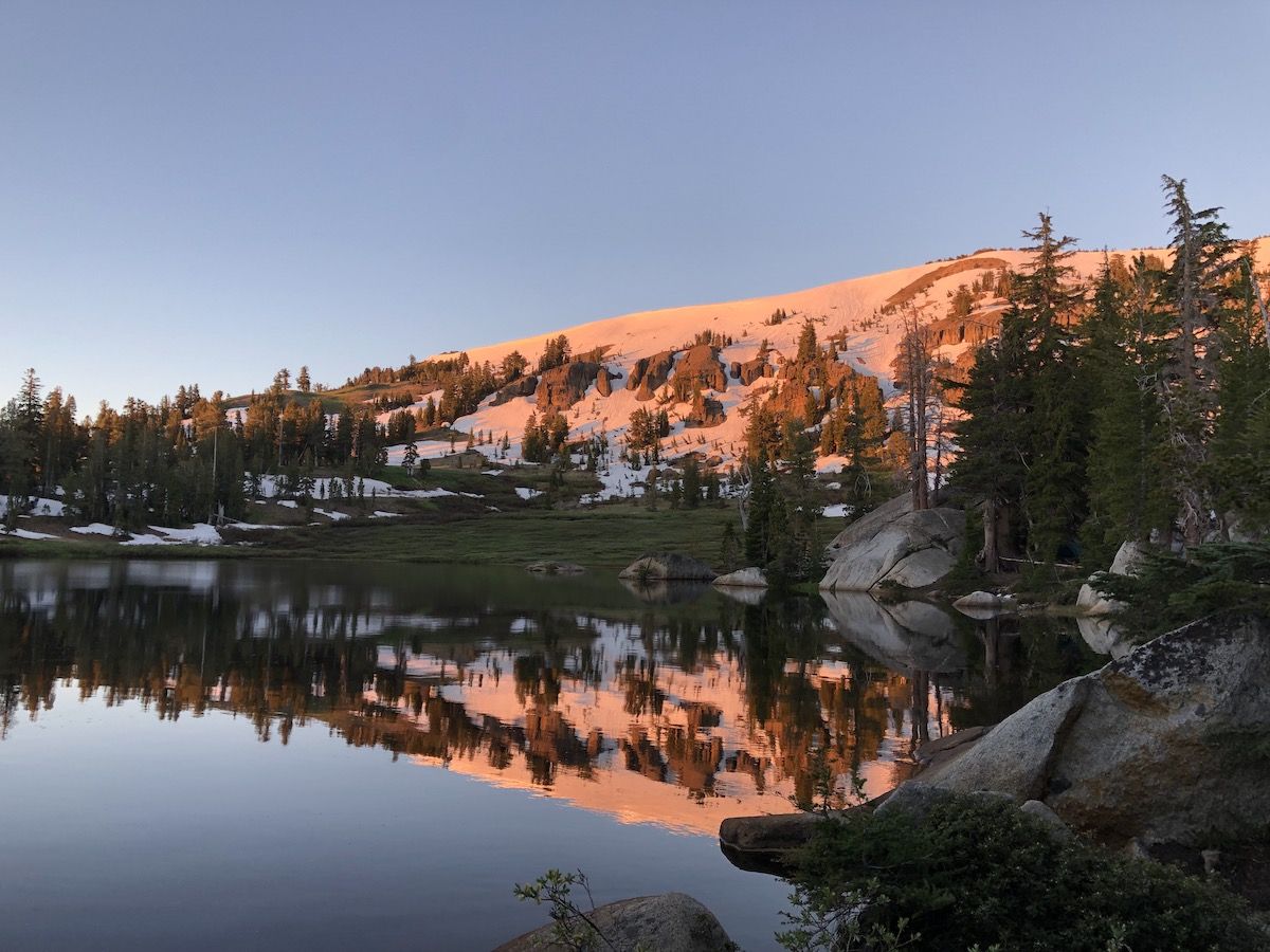
I set up camp just below Freel Peak and enjoyed the exquisite views of the lake as the sun was setting.
Day 2: Freel Peak to Showers Lake, 22 miles
I was back on the trail before 7. My campsite didn’t have morning sun, so I just packed up quickly and hiked up a half mile for some morning sun with my breakfast.
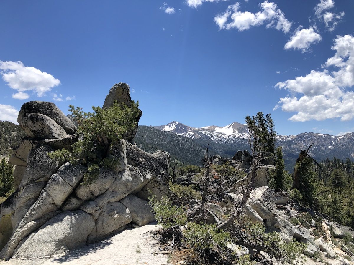
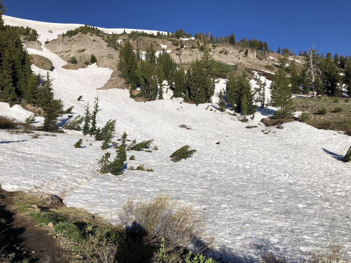
There were more significant patches of snow as I climbed closer to the peak, some maybe 100 yards or so across. However, they were easy enough to navigate, and the snow was nice and compact.
I stopped for breakfast at the top of the climb and had a quick chat with a TRT thru-hiker that came up just as I was heading off.
The snow vanished after Freel Peak, and it was a smooth descent to Armstrong pass. Between Armstrong and Big Meadows, there were a few small patches of snow here and there, never more than a few feet.
I met a hiker just before Freel Meadows who said he had seen two bears on the meadow. Sadly they were gone by the time I got there.
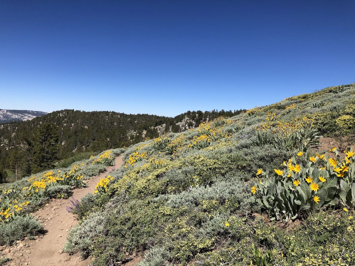
I took a quick pit stop at the Big Meadows trailhead and then continued climbing up towards Round Lake. The climb was a lot longer than I remembered. Round Lake was packed with campers, so I didn’t spend too much time there. Instead, I continued South toward the PCT junction.

After joining the PCT and starting to hike North, I hit the first creek crossing where I couldn’t avoid getting my feet wet. I waded through with my trail runners.
From there on, the trail became increasingly wet, muddy, and snow-covered. Since my feet were already wet, it didn’t make much difference, I just plowed through.
Day 2 had been much longer than the first day, so I was happy to lay out my sleeping pad on the rocks overlooking the lake and take a little siesta there before dinner.
Day 3: Showers Lake to Echo Summit, 8 miles
I woke up to something sniffing around my tent. Groggy, I tried to get the buff I had used to cover my eyes off so I could see what was going on. I yelled HEY, and the intruder backed off with a familiar sound of dog tags. Turns out it was the neighboring tent’s dog that was out exploring.
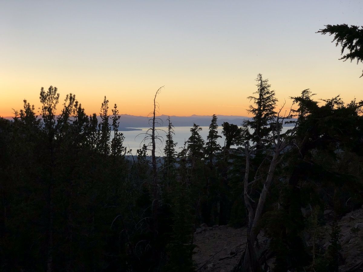
It was 5:30, and I was wide awake. The silver lining was that I got to watch the mountains behind the lake, light up as the sun slowly rose above the trees.
I only needed to hike 8 miles, and I didn’t want to get into town too early, so I took it easy in the morning, heading out of camp around 7.
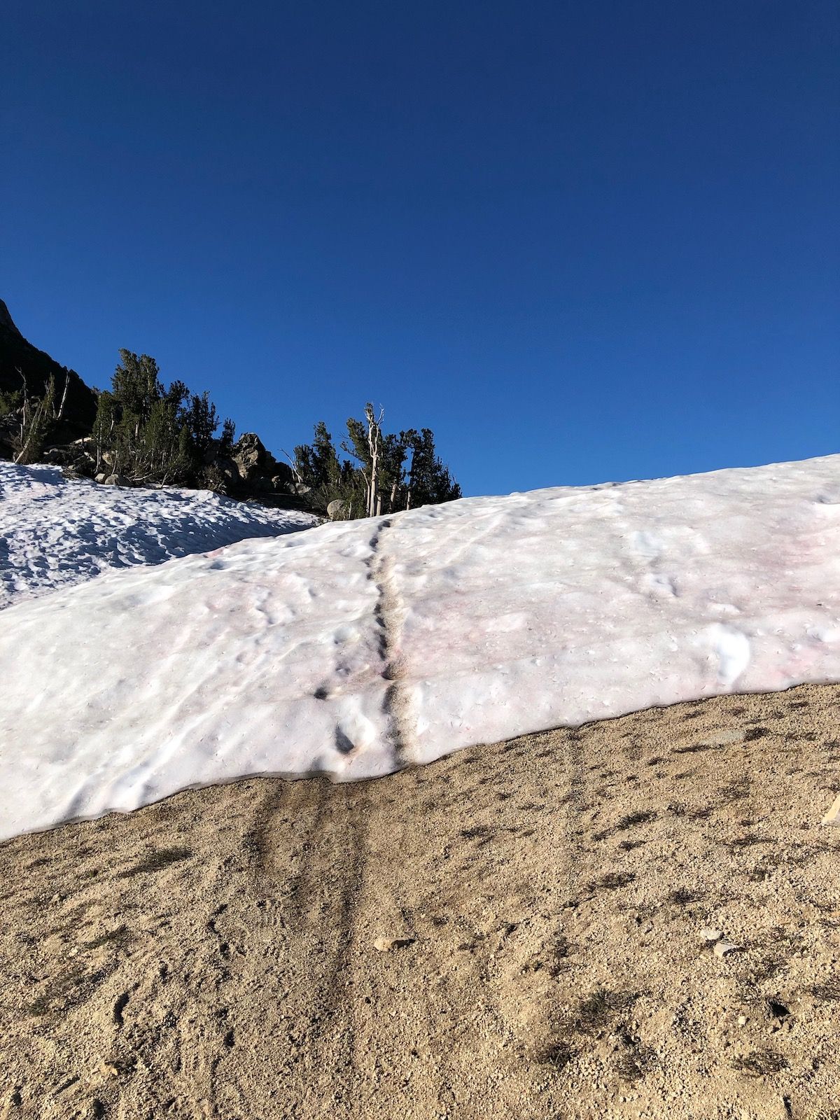
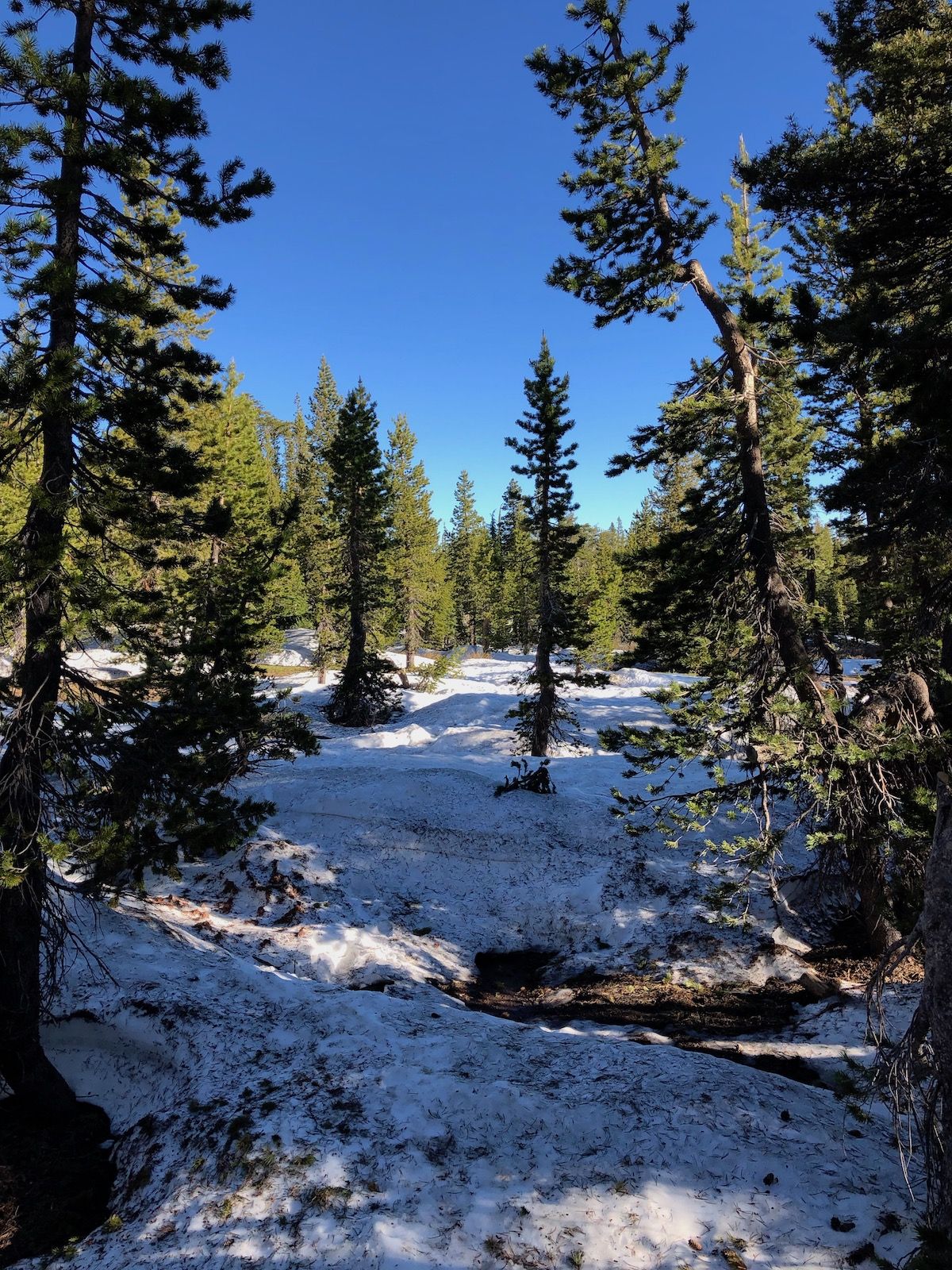
The amount of snow kept increasing as I climbed out from Showers Lake. There were several hundred-yard snowfields below Little Round Top. They were easy to navigate as there were no trees so I could pretty quickly figure out where the trail was going.
After the trail entered the forest, around mile 113 (CW), the snow became deeper and the navigation more difficult. For the next 4 miles, the trail was mostly covered in 2-10 feet of snow and dense forest which made pathfinding more difficult.
In most parts, it was easy enough to follow tracks made by PCT hikers, but I did manage to wander off trail a few times. At one point, just as I found the path, I ran into two PCT hikers that had lost the trail as well, and we continued on together for a while.
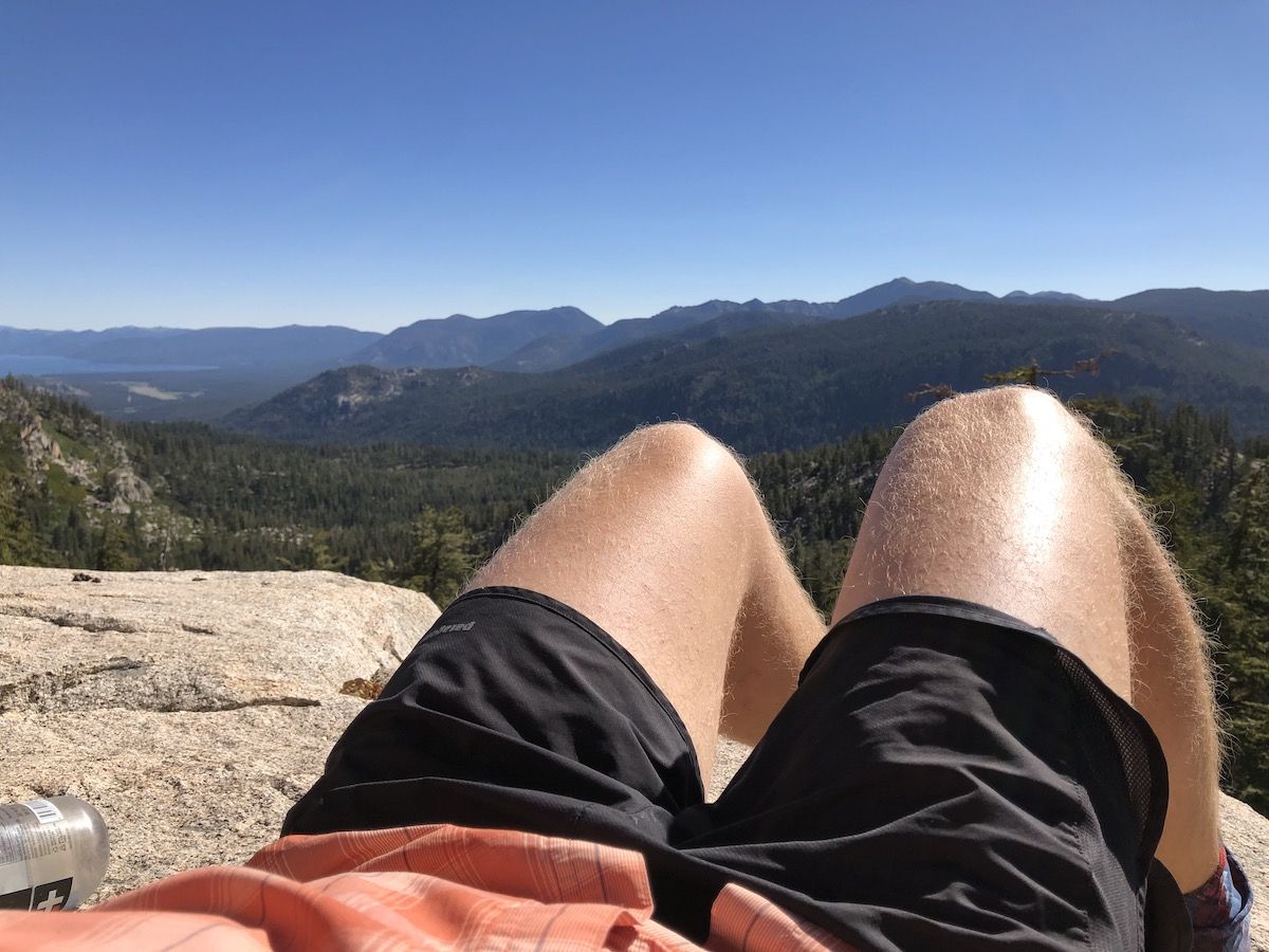
As the trail started descending towards Echo Summit, the snow eased off, and I took a break overlooking the lake. I was really starting to enjoy the CCF pad and the fact that I could use it to lay down anywhere for a break comfortably. I
Just before getting to the trailhead, I met two day-hikers and chatted with them for a while. We met the PCT hikers as well, and the day hikers were kind enough to give the three of us a ride back down to South Lake Tahoe.
Summary
Overall, this was a great little weekend trip. My gear worked well, and I was happy about the switch to the CCF pad. I slept better on it, and it made breaks luxurious. The only adjustment I will make to my final JMT gear is to bring my stove. I will still cold soak most of my meals, but I want to have the option of cooking fish, enjoying a warm coffee, or using it to make warm water bottles if I get wet and need to warm up.